The best road cycling routes in Cherokee County
42
riders
2
rides
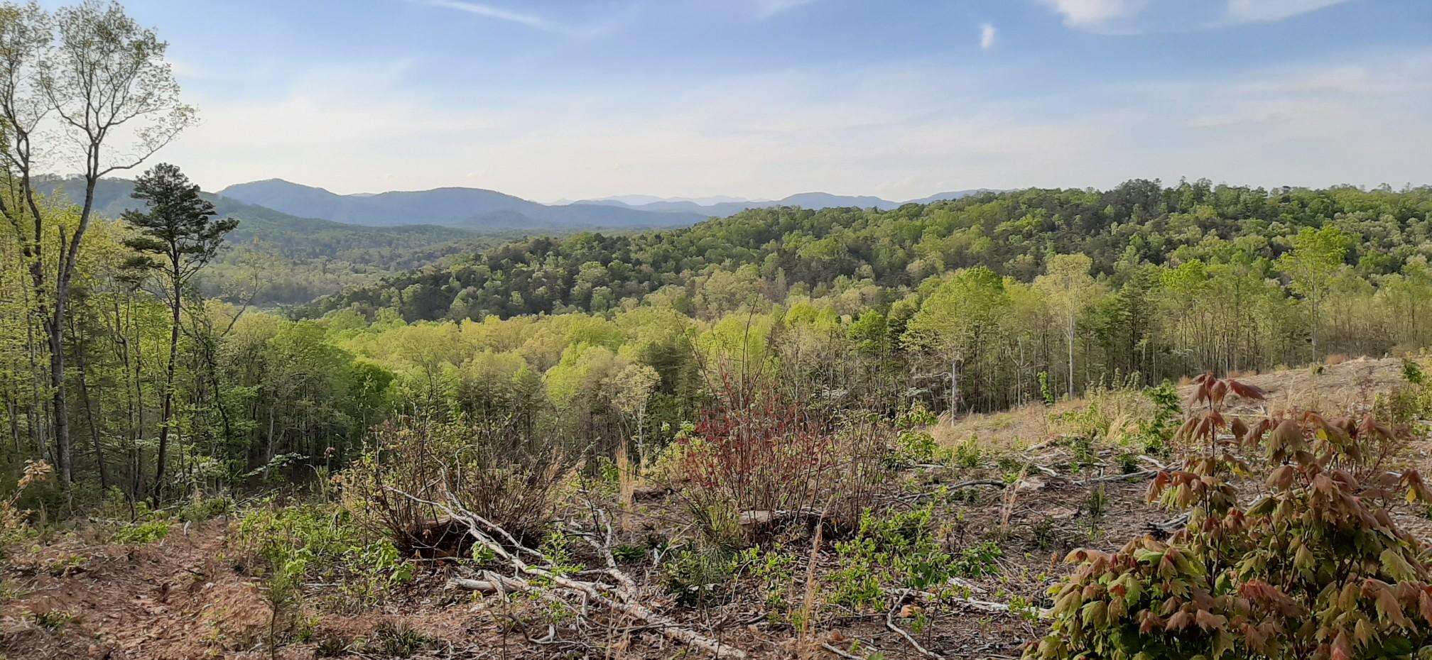
Road cycling in Cherokee County features a diverse landscape characterized by rolling hills and significant elevation gains, offering varied terrain for cyclists. The region includes routes that pass through parklands, near lakes and reservoirs, and along former rail lines. Cyclists can expect a mix of open roads and routes that traverse areas with notable climbs, particularly around locations like Crowders Mountain and Kings Mountain.
Best road cycling routes in Cherokee County
- The most popular road cycling route is Roadbike loop…
Last updated: July 8, 2026
9
riders
40.5km
01:51
210m
210m
Easy road ride. Great for any fitness level. Mostly well-paved surfaces and easy to ride.
12
riders
84.4km
04:31
870m
870m
Moderate road ride. Good fitness required. Some segments of this route may be unpaved and difficult to ride.

Sign up for free
10
riders
71.8km
03:25
920m
910m
Hard road ride. Very good fitness required. Some segments of this route may be unpaved and difficult to ride.
7
riders
61.2km
03:02
720m
720m
Moderate road ride. Good fitness required. Some segments of this route may be unpaved and difficult to ride.
4
riders
28.7km
01:15
150m
150m
Easy road ride. Great for any fitness level. Mostly well-paved surfaces and easy to ride.
Our route recommendations are based on thousands of hikes, rides, and runs completed by other people on komoot.
Start today with a free account
Your next adventure awaits.
Login or Signup
Popular around Cherokee County

Frequently Asked Questions
How many road cycling routes are available in Cherokee County?
Cherokee County offers a selection of 9 road cycling routes, catering to various skill levels from moderate to difficult. These routes explore the region's diverse landscape of rolling hills and significant elevation changes.
Are there any easy road cycling routes suitable for beginners in Cherokee County?
Yes, for those seeking an easier ride, the Roadbike loop from Overland Park is an accessible option. This route covers 25.1 miles (40.5 km) with moderate elevation, making it a good choice for beginners.
What are the typical lengths and durations of road cycling routes in Cherokee County?
Route lengths vary significantly. For example, the Roadbike loop from Overland Park is about 25 miles (40.5 km) and takes around 1 hour 50 minutes, while longer routes like the Watershed Number 18 Reservoir loop from Valley Falls stretch over 70 miles (112 km) and can take more than 5 hours to complete.
Where can I find challenging road bike climbs in Cherokee County?
Cherokee County is known for its significant elevation gains. Routes around Crowders Mountain and Kings Mountain offer challenging climbs. Consider the Roadbike loop from Crowders Mountain State Park, which features over 900 meters of ascent, or the River Birch Trail – Mary Black Rail Trail loop from Spartanburg for a demanding ride.
Are there any road cycling routes that pass by lakes or reservoirs?
Absolutely. Several routes incorporate scenic water features. The Duncan Park Lake – The Rail Yard loop from Spartanburg passes by Duncan Park Lake, and the Pacolet Reservoir – Victor Hill Hotel ruins loop from Arkwright offers views of Pacolet Reservoir.
What kind of terrain can I expect on road cycling routes in Cherokee County?
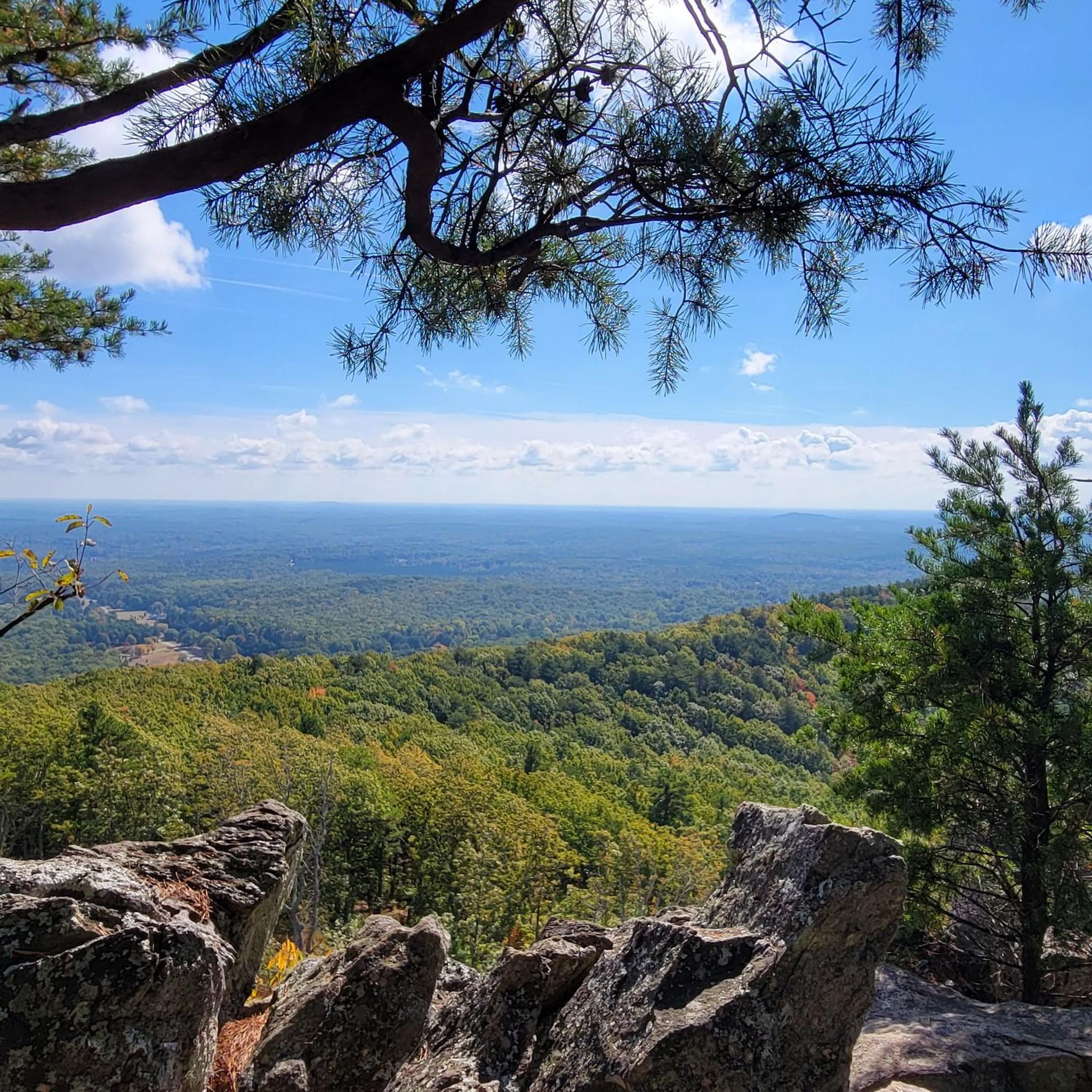
Cyclists in Cherokee County will encounter a mix of rolling hills and notable climbs. Routes often traverse parklands, utilize sections of former rail lines, and offer open roads, providing varied terrain for different preferences.
Are there any loop road bike trails in Cherokee County?
Yes, most of the road cycling routes in Cherokee County are designed as loops, offering a convenient way to start and end your ride at the same point. Examples include the Kings Mountain Church loop from Boulders Access Area and the Roadbike loop from Kings Mountain.
What do other road cyclists enjoy most about road cycling in Cherokee County?
Road cyclists using komoot often appreciate the region's diverse terrain, which includes both challenging climbs and scenic stretches through parklands and near reservoirs. The variety of routes allows for different experiences, from moderate to difficult rides.
Are there routes that incorporate former rail lines for cycling?
Yes, some routes in Cherokee County utilize sections of former rail lines, offering unique cycling experiences. The The Rail Yard – The Rail Yard loop from Spartanburg is a prime example, incorporating these paths into its varied terrain.
What is the best time of year for road biking in Cherokee County?
While specific conditions vary, the region's climate generally makes spring and fall ideal for road cycling, offering milder temperatures and pleasant scenery. Summer can be warm, and winter conditions should be checked for colder temperatures, though routes remain accessible.
Are there any routes that offer significant elevation for training?
For cyclists looking for significant elevation training, routes like the Roadbike loop from Crowders Mountain provide substantial climbs, with this particular route featuring over 800 meters of ascent over 43.7 miles (70.4 km).

Get inspired with the komoot mobile app


Explore more
Browse the best Road cycling routes in other regions.
