The best running trails in Gilpin County
4.0
(7)
802
runners
64
runs
Jogging in Gilpin County offers access to mountainous terrain and high-altitude trails, with elevations ranging from 6,960 feet to 13,294 feet. The region features extensive public lands, including a significant portion of the Arapaho & Roosevelt National Forests, providing diverse ecosystems for runners. Trails often lead through unique landscapes, from alpine tundra to rare wetland resources, and offer opportunities for varied running experiences.
Best jogging routes in Gilpin County
- The most popular jogging route is Frazer Meadow via Horseshoe and…
Last updated: June 23, 2026
3
runners
6.56km
00:56
260m
260m
The Frazer Meadow via Horseshoe and Mule Deer Loop offers a dynamic jogging experience through Golden Gate Canyon State Park, showcasing a beautiful blend of dense pine forests, bright aspen…
2
runners
8.39km
01:11
330m
310m
Jogging the Maryland Mountain via Historic Gilpin Tramway Trail offers a fascinating blend of natural beauty and historical echoes. You'll traverse diverse terrain, from singletrack paths winding through pine forests…

Sign up for free
1
runners
4.22km
00:34
130m
120m
Jog the 2.6-mile Panorama Point via Mule Deer and Raccoon Trail for moderate difficulty, varied terrain, and stunning Continental Divide vie
1
runners
8.28km
01:19
250m
250m
Jog the difficult 5.1-mile Rogers Pass Trail in Colorado, gaining 832 feet for stunning views from the Continental Divide and alpine lakes.
1
runners
5.81km
00:46
150m
150m
The Mule Deer Trail in Golden Gate Canyon State Park offers a dynamic jogging experience, transitioning from rocky singletrack through serene alpine meadows to dense pine forests. You'll find yourself…
13.6km
02:26
700m
710m
Jog the difficult 8.4-mile James Peak Loop Trail, gaining 2305 feet to a 13,294-foot summit with panoramic views.
16.5km
02:28
550m
550m
Jog the difficult 10.3-mile Jenny Creek and Guinn Mountain Trail, gaining 1803 feet through forests and alpine lakes.
6.96km
00:58
250m
250m
Jog the difficult 4.3-mile Buffalo Trail and Mountain Lion Trail Loop in Golden Gate Canyon State Park, gaining 813 feet.
6.96km
00:54
170m
170m
The Mule Deer Trail in Golden Gate Canyon State Park offers a fantastic jogging experience through varied Colorado ecosystems. You'll navigate a mix of rocky singletrack and smooth paths, winding…
12
runners
22.0km
04:07
1,240m
1,240m
Hard run. Very good fitness required. Sure-footedness, sturdy shoes and alpine experience required.
Get access to more routes and recommendations from other explorers.
Sign up for free
Already have an account?
Our route recommendations are based on thousands of hikes, rides, and runs completed by other people on komoot.
Start today with a free account
Your next adventure awaits.
Login or Signup
Popular around Gilpin County
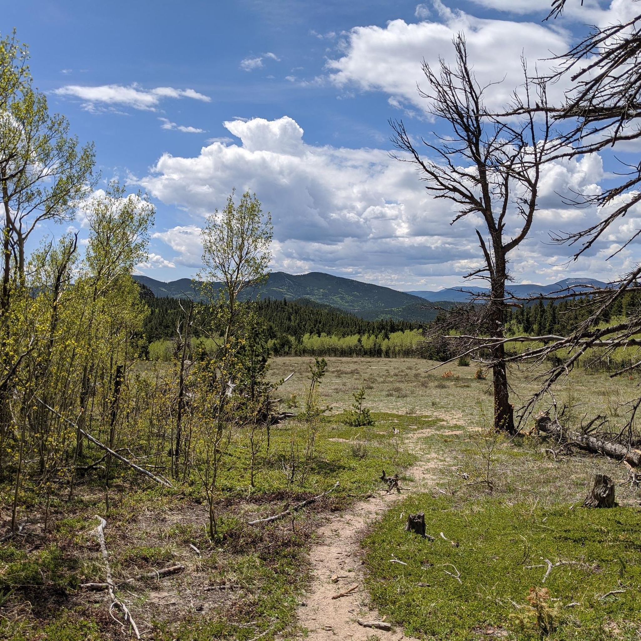
Running Trails in Golden Gate Canyon State Park Green Ranch
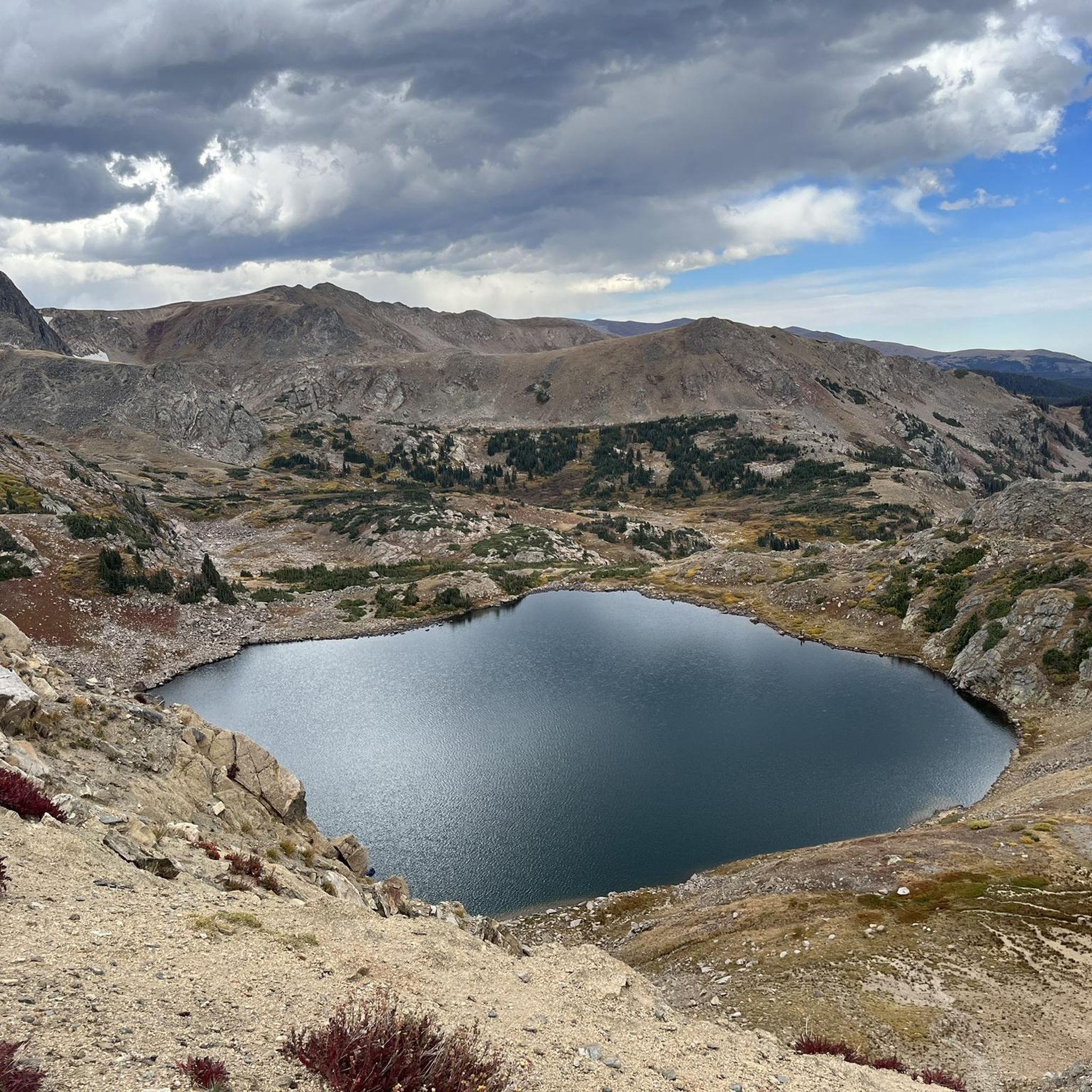
Running Trails in James Peak Wilderness
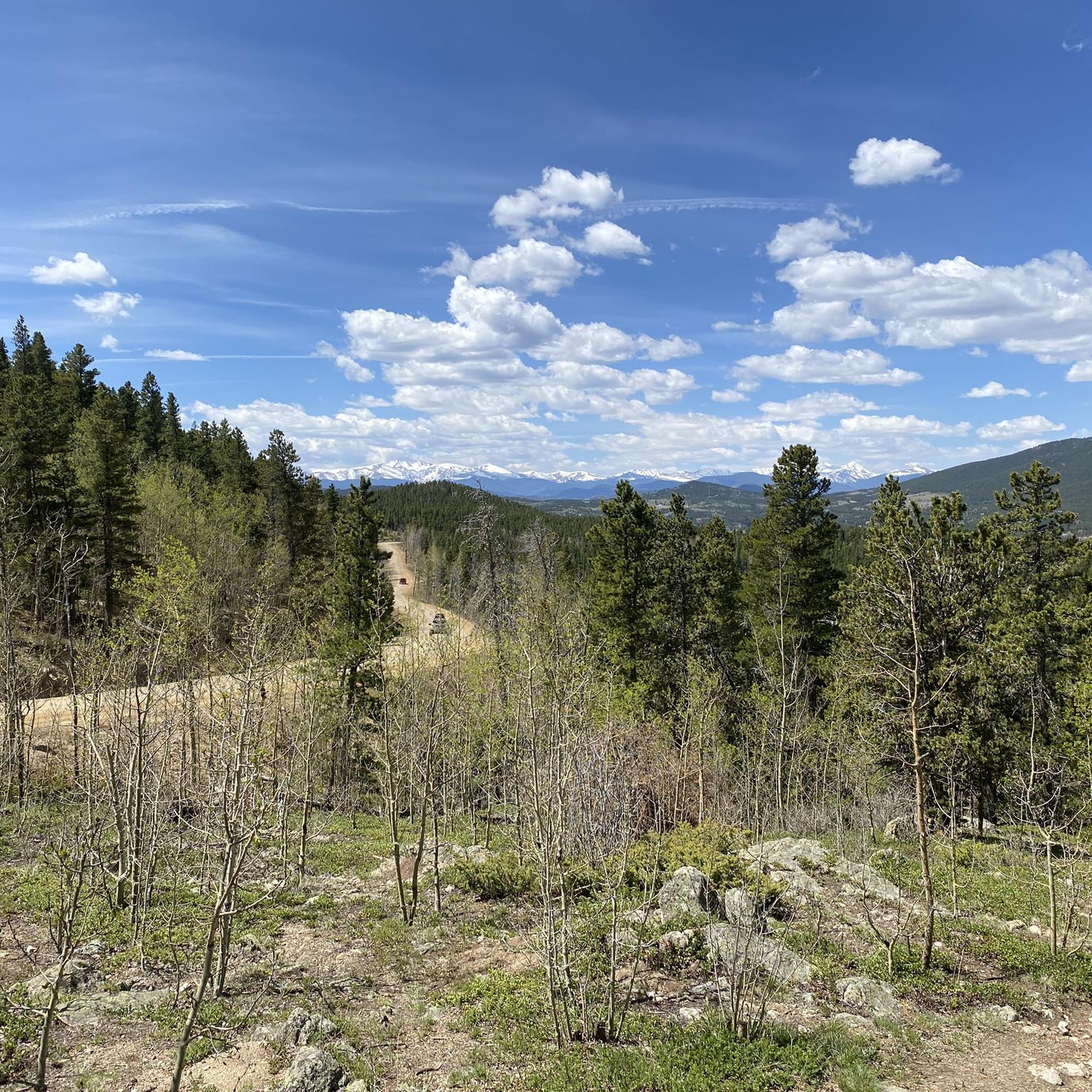
Running Trails in Golden Gate Canyon State Park

Running Trails around Central City
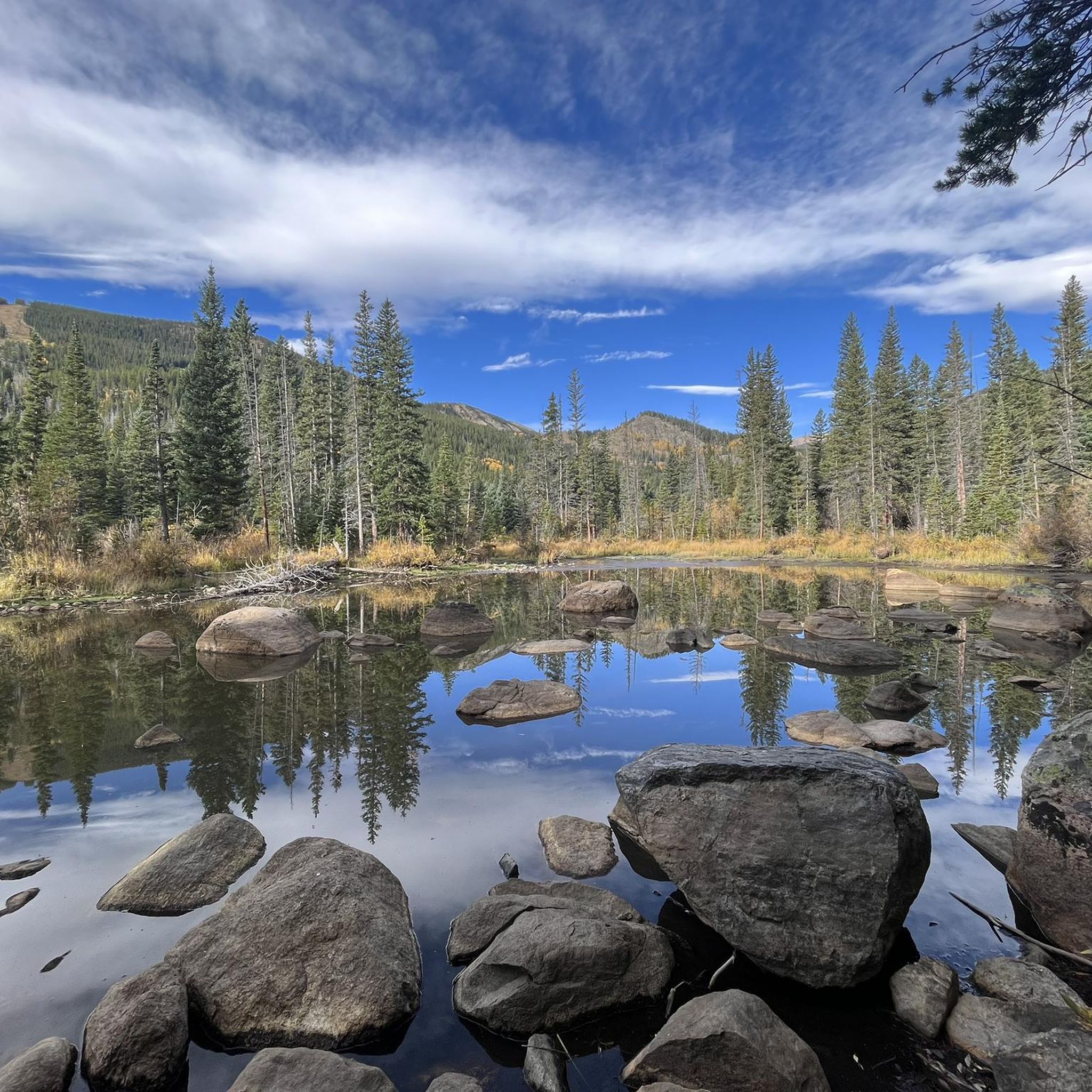
Running Trails around Rollinsville

Running Trails around Black Hawk
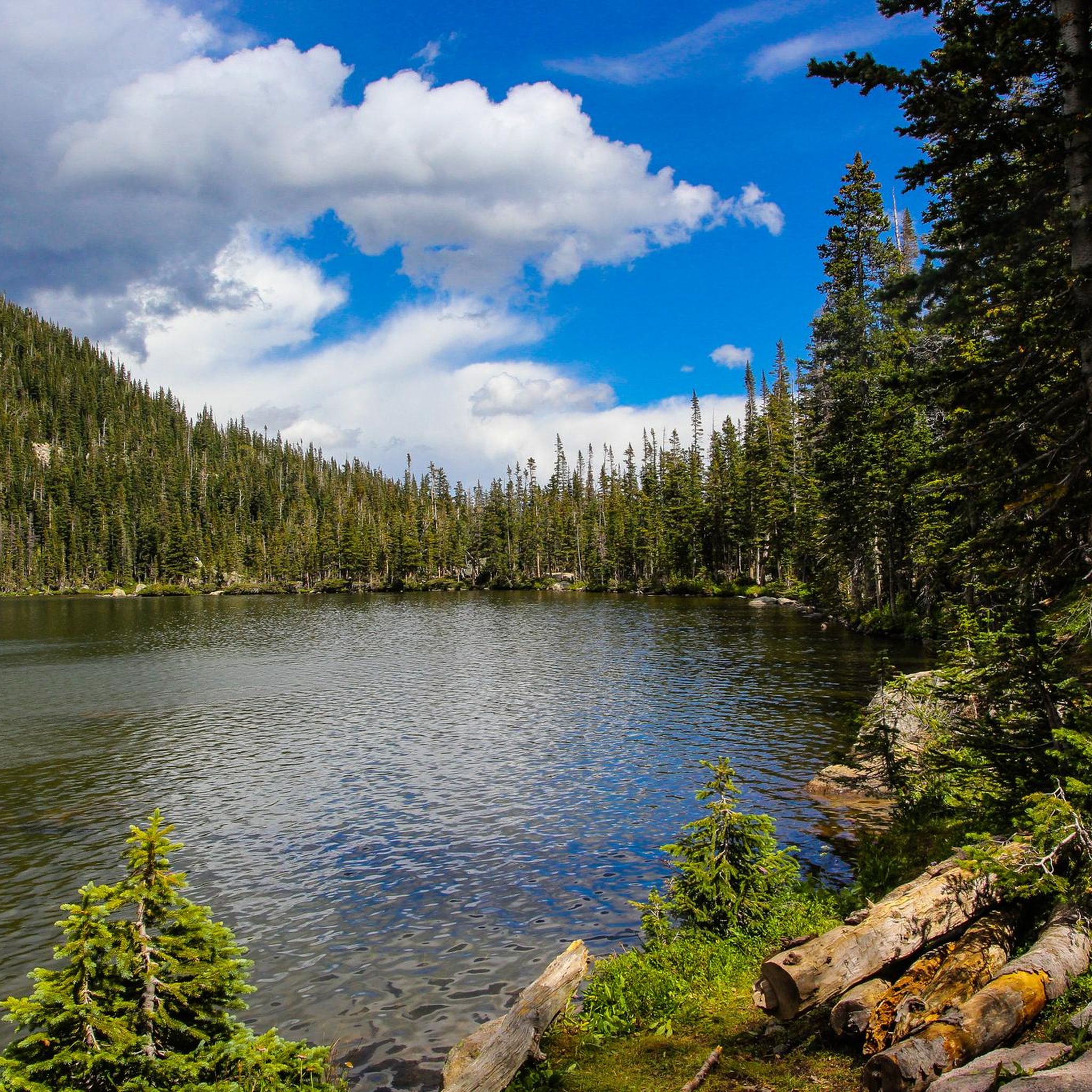
Hiking in Gilpin County
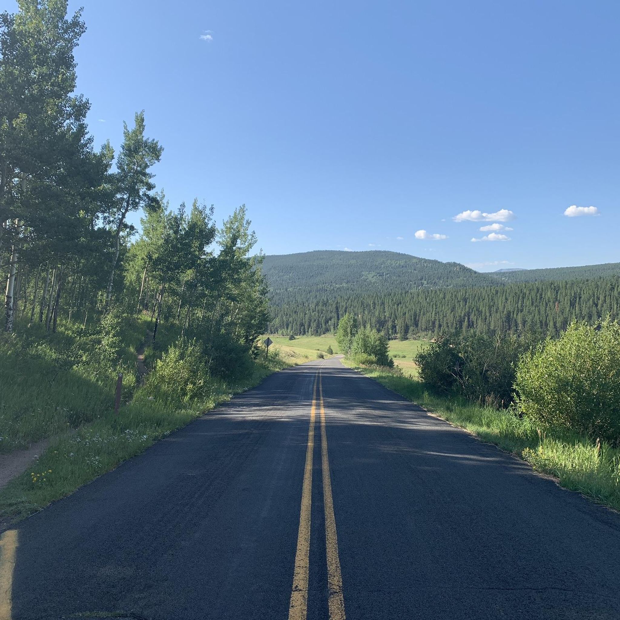
Road Cycling Routes in Gilpin County
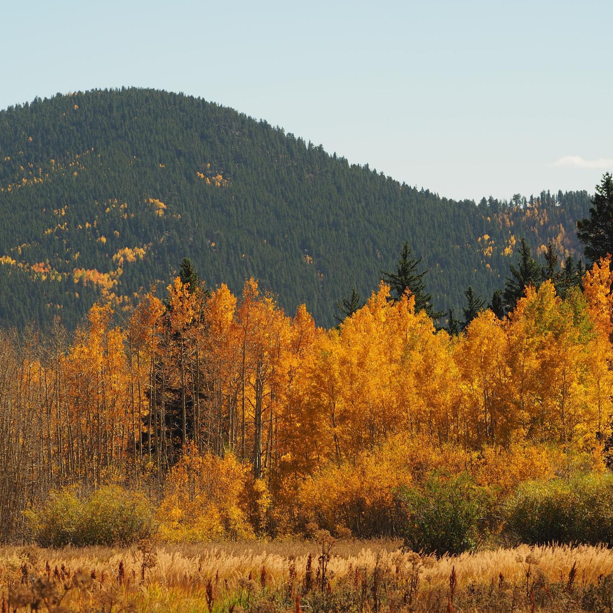
Cycling in Gilpin County
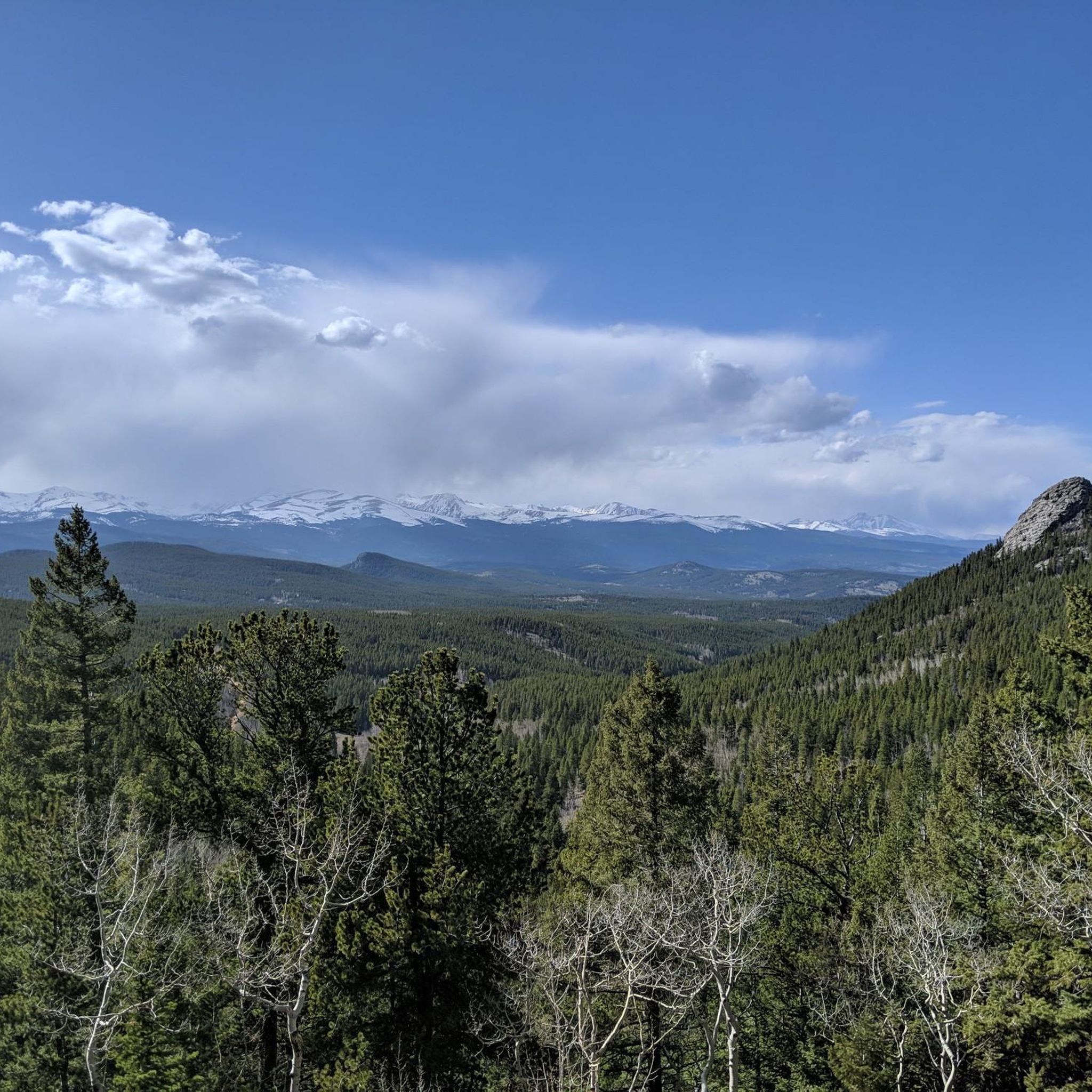
MTB Trails in Gilpin County
Tips from the Community

Panorama Point is a pull-off on Gab Road that provides great views of Rocky Mountain National Park's peak and the forests surrounding it.
0
0

Situated at 10,800 feet above sea level, this lake is right at the treeline, creating a unique and captivating sight. Besides its scenic beauty, it's a highly popular fishing area, renowned for its abundance of trout species, including rainbow, brook, and cutthroat trout.
0
0

Heart Lake, located within James Peak Wilderness, is an alpine lake above the tree line. You follow a stream to get here and moose are very prevalent in the area!
0
0

Rogers Pass Lake rests up above 11,000 feet and features rocky ridgeline views as its backdrop. The trails leading up to the alpine reservoir are known for their wildflowers in the spring and summer months.
0
0

The Upper Mule Deer Trail is a moderate trail that leads to some great view points of Golden Gate Canyon State Park. The path is relatively smooth, and the elevation change is graded well, so it is definitely worth checking out this trail to get the wonderful views.
0
0
The ranch house, which dates back to 1876, was owned by Anders Tallman who emigrated from Sweden. He and his wife Christina built their home along Nott Creek. Because of the remote location of the homestead, it was referred to as “Forgotten Valley.” Four generations of Swedish-Americans lived on the ranch. Behind the ranch house you’ll find the chicken house and the stables. The best view is from the porch of the ranch house.
0
0

Magnificent view of the "Rocky Mountain National Park" and other remarkable mountains. Taking this easy loop trail will give you great satisfaction.
0
0
John Frazer had been a miner in Black Hawk, Colorado before he came to these meadows in 1869 to homestead. For furniture, he only had a pot-bellied stove, a table, and two chairs. He slept on a bedroll on the floor with his feet towards the stove for warmth. Frazer’s died in 1894 while hauling logs to trade for sugar and salt. One of the logs rolled over him in a freak accident that crushed his skull and killed him.
0
0
Frequently Asked Questions
How many running routes are available in Gilpin County?
Gilpin County offers a wide variety of running routes, with over 60 trails available. These routes cater to all levels, including 5 easy, 24 moderate, and 33 difficult options, ensuring there's a suitable path for every runner.
Are there easy running routes for beginners in Gilpin County?
Yes, Gilpin County has 5 easy running routes perfect for beginners or those looking for a less strenuous jog. While specific easy routes are not detailed here, you can find options that offer smoother surfaces and gentler elevation changes within the county's extensive trail network.
What kind of terrain can I expect on running trails in Gilpin County?
Running trails in Gilpin County feature diverse terrain, from smooth paths to rocky singletrack, reflecting its mountainous landscape. You'll encounter varied surfaces, including dirt and some graded trails, especially within areas like Golden Gate Canyon State Park. The high-altitude environment also means you can expect significant elevation changes on many routes.
Are there any family-friendly running routes in Gilpin County?
Yes, Gilpin County offers routes suitable for families. For instance, the Panorama Point via Mule Deer and Raccoon Trail in Golden Gate Canyon State Park is a moderate 2.6-mile loop that can be enjoyed by families. The park's trails often provide wonderful viewpoints and a chance to experience the natural beauty together.
Can I bring my dog on the running trails in Gilpin County?
Many trails in Gilpin County, particularly those within the Arapaho & Roosevelt National Forests, are dog-friendly. However, it's crucial to check specific park or wilderness area regulations, as leash policies can vary. For example, Golden Gate Canyon State Park has specific rules regarding pets. Always ensure your dog is leashed and that you clean up after them.
What are some scenic running routes with good viewpoints in Gilpin County?
Gilpin County is rich in scenic routes. The Panorama Point via Mule Deer and Raccoon Trail leads to Panorama Point, offering stunning views. Another option is the Maryland Mountain via Historic Gilpin Tramway Trail, which provides views from Maryland Mountain. You might also catch a glimpse of Rocky Mountain National Park from certain vantage points.
Are there any circular running routes in Gilpin County?
Yes, many running routes in Gilpin County are designed as loops, offering varied scenery without retracing your steps. Examples include the Frazer Meadow via Horseshoe and Mule Deer Loop and the Buffalo Trail and Mountain Lion Trail Loop. These loops provide excellent opportunities for continuous running experiences.
What landmarks or attractions can I see along the running routes?
While running in Gilpin County, you can encounter several natural and historical landmarks. You might pass by John Frazer's Cabin, a historical site, or enjoy views of prominent natural features like James Peak. Some routes also lead past serene bodies of water such as Forest Lake #2 or Lower Forest Lake.
Is parking available at the trailheads in Gilpin County?
Parking is generally available at many trailheads throughout Gilpin County, especially at popular access points for state parks and national forests. For instance, Golden Gate Canyon State Park has a visitor center where you can obtain parking permits. It's advisable to check specific trailhead information for parking availability and any required fees or permits before your visit.
What is the best time of year for running in Gilpin County?
The best time for running in Gilpin County is typically from late spring through early fall (May to October) when the weather is milder and trails are clear of snow. Summer offers wildflowers and lush scenery, while fall brings vibrant foliage. Given the high-altitude terrain, be prepared for cooler temperatures and potential snow at higher elevations even in shoulder seasons.
What do other runners enjoy most about jogging in Gilpin County?
The area is highly rated by the komoot community, with an average score of 5.0 stars from 5 reviews. Runners often praise the diverse ecosystems, the challenge of high-altitude terrain, and the breathtaking scenery, including alpine tundra and lakes. The extensive network of trails within the Arapaho & Roosevelt National Forests and Golden Gate Canyon State Park also contributes to a highly enjoyable experience.
Are there any challenging running routes for experienced runners?
Absolutely. Gilpin County is known for its challenging, high-altitude routes. Experienced runners can tackle trails like the James Peak Loop Trail, which features significant elevation gain over 8.4 miles, or the even longer James Peak – Heart Lake loop, a 13.7-mile route with over 4,000 feet of ascent. These routes offer strenuous workouts and rewarding views.
What should I wear when running in Gilpin County's high-altitude environment?
Due to Gilpin County's high-altitude and mountainous terrain, it's essential to dress in layers, even on warm days, as weather can change rapidly. Opt for moisture-wicking clothing, and always carry a lightweight jacket or rain shell. Sturdy trail running shoes with good grip are recommended for varied surfaces. Don't forget sun protection (hat, sunglasses, sunscreen) and plenty of water.
Most popular routes in Gilpin County
Most popular attractions in Gilpin County

Get inspired with the komoot mobile app


Didn’t find what you were looking for?
Check out more Running Trails & Routes throughout Gilpin County below and find the perfect route in your destination.
Explore more
Browse the best Running Trails & Routes in other regions.
