The best mountain hikes around Haukelandsvatnet
5.0
(1)
5
hikers
3
hikes
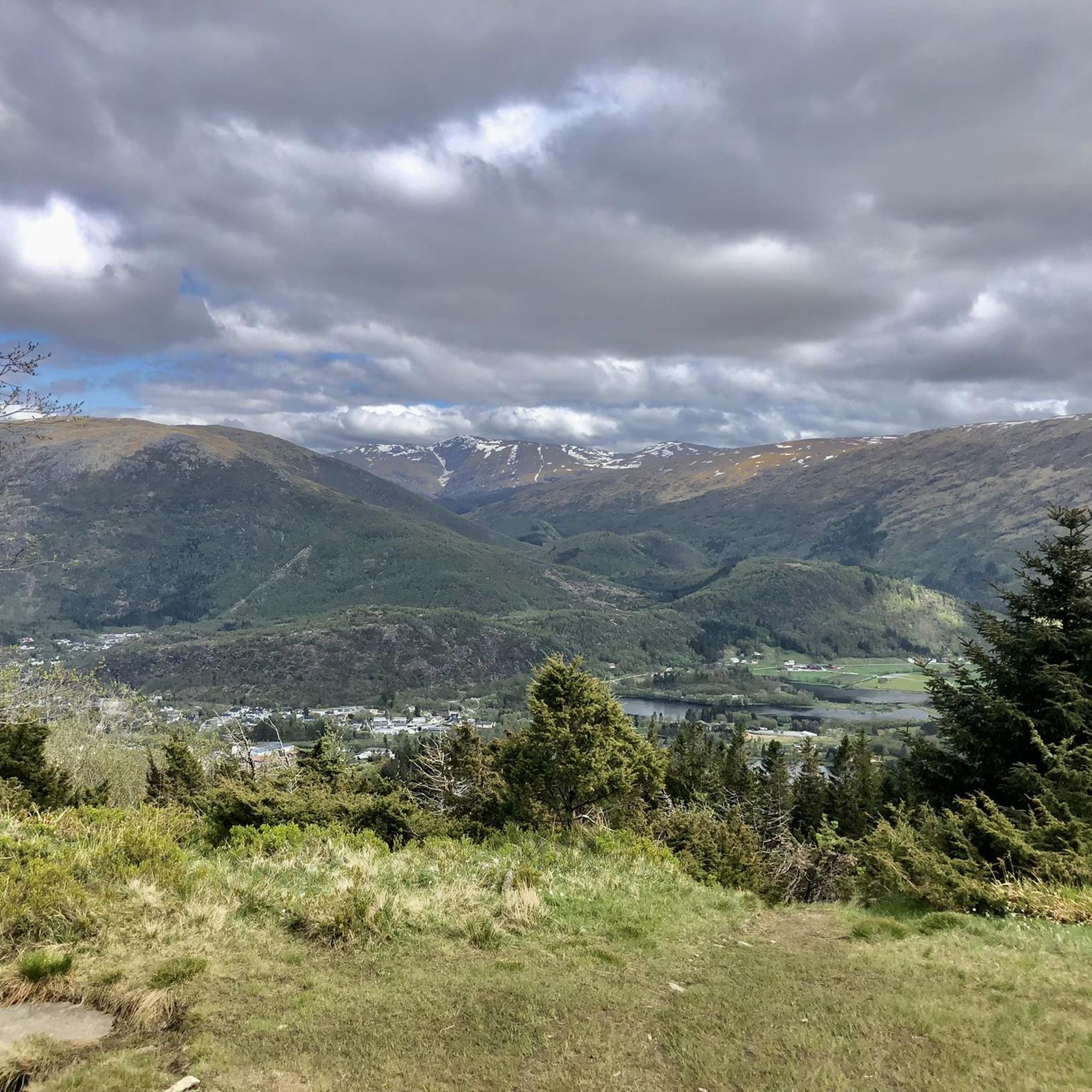
Mountaineering routes around Haukelandsvatnet are set within a mountainous landscape near Bergen, Norway, characterized by varied terrain and access to prominent peaks. The region features an extensive network of trails, ranging from forest paths to exposed ridges, offering diverse challenges. These routes provide access to significant mountains such as Skåldalsnipa and Ulriken, the highest of Bergen's seven mountains. The area combines steep and firm paths with technical sections, providing views of surrounding mountains, valleys, and distant fjords.
Best mountaineering routes…
Last updated: June 26, 2026
5.0
(1)
2
hikers
15.0km
06:04
740m
740m
Hard mountaineering route. Very good fitness required. Mostly accessible paths. Sure-footedness required.
2
hikers
Moderate mountaineering route. Good fitness required. Mostly accessible paths. Sure-footedness required.

Sign up for free
1
hikers
11.8km
04:59
680m
680m
Moderate mountaineering route. Good fitness required. Mostly accessible paths. Sure-footedness required.
Our route recommendations are based on thousands of hikes, rides, and runs completed by other people on komoot.
Start today with a free account
Your next adventure awaits.
Login or Signup
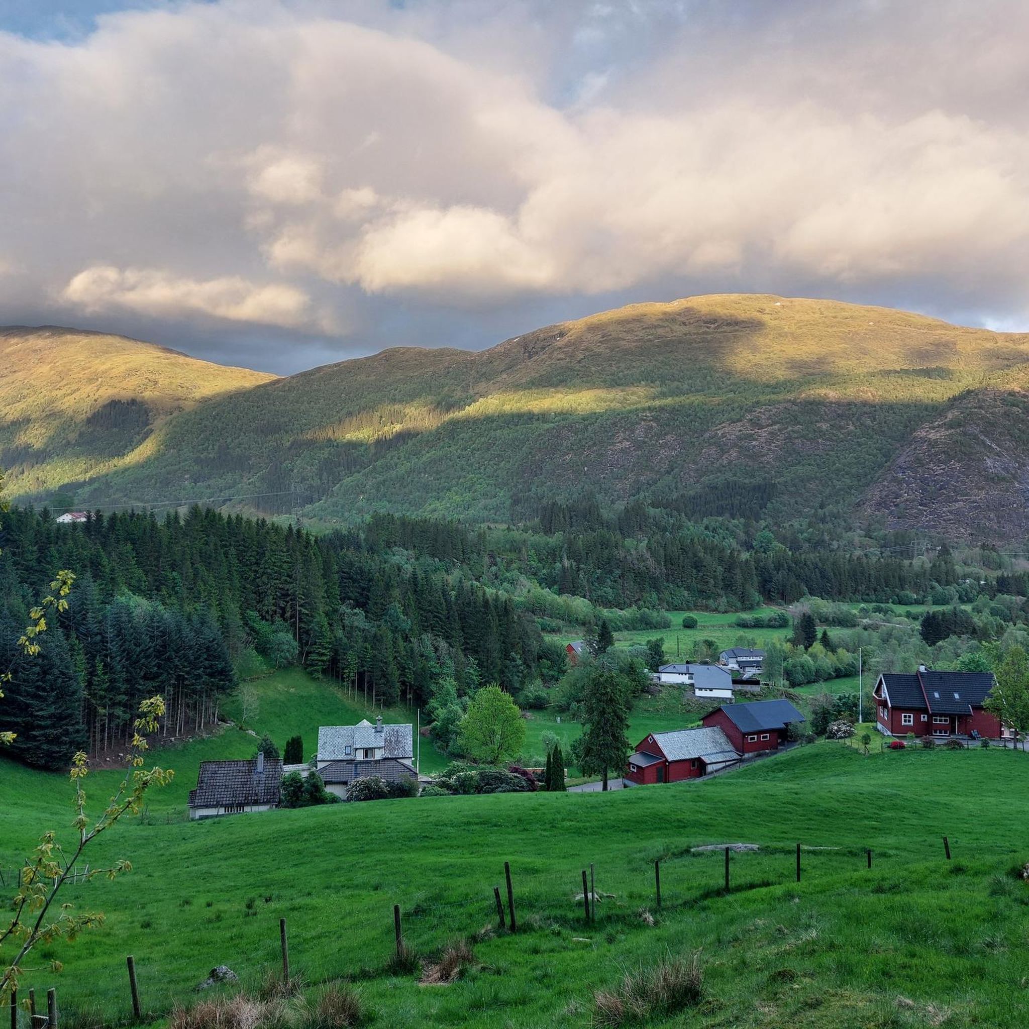
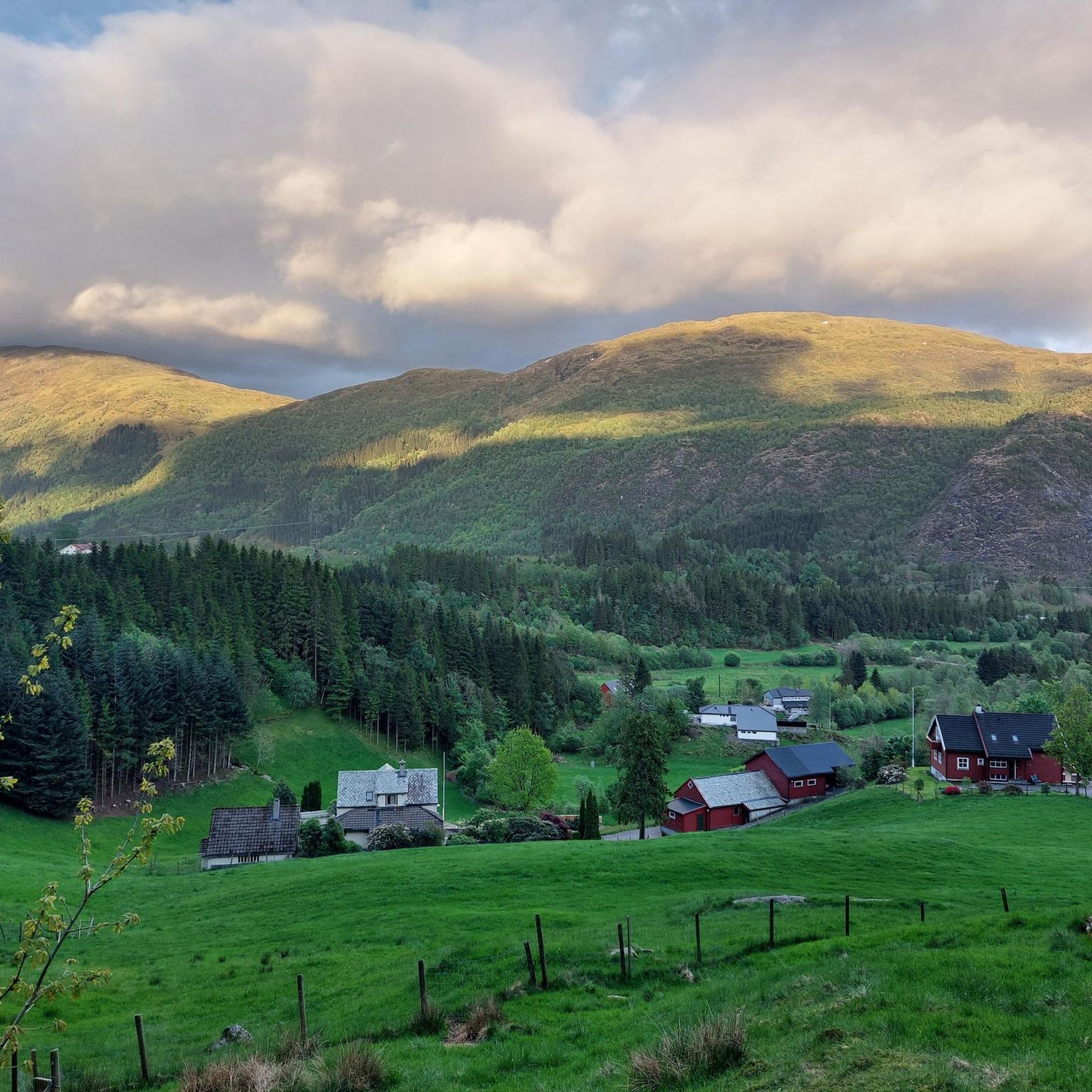
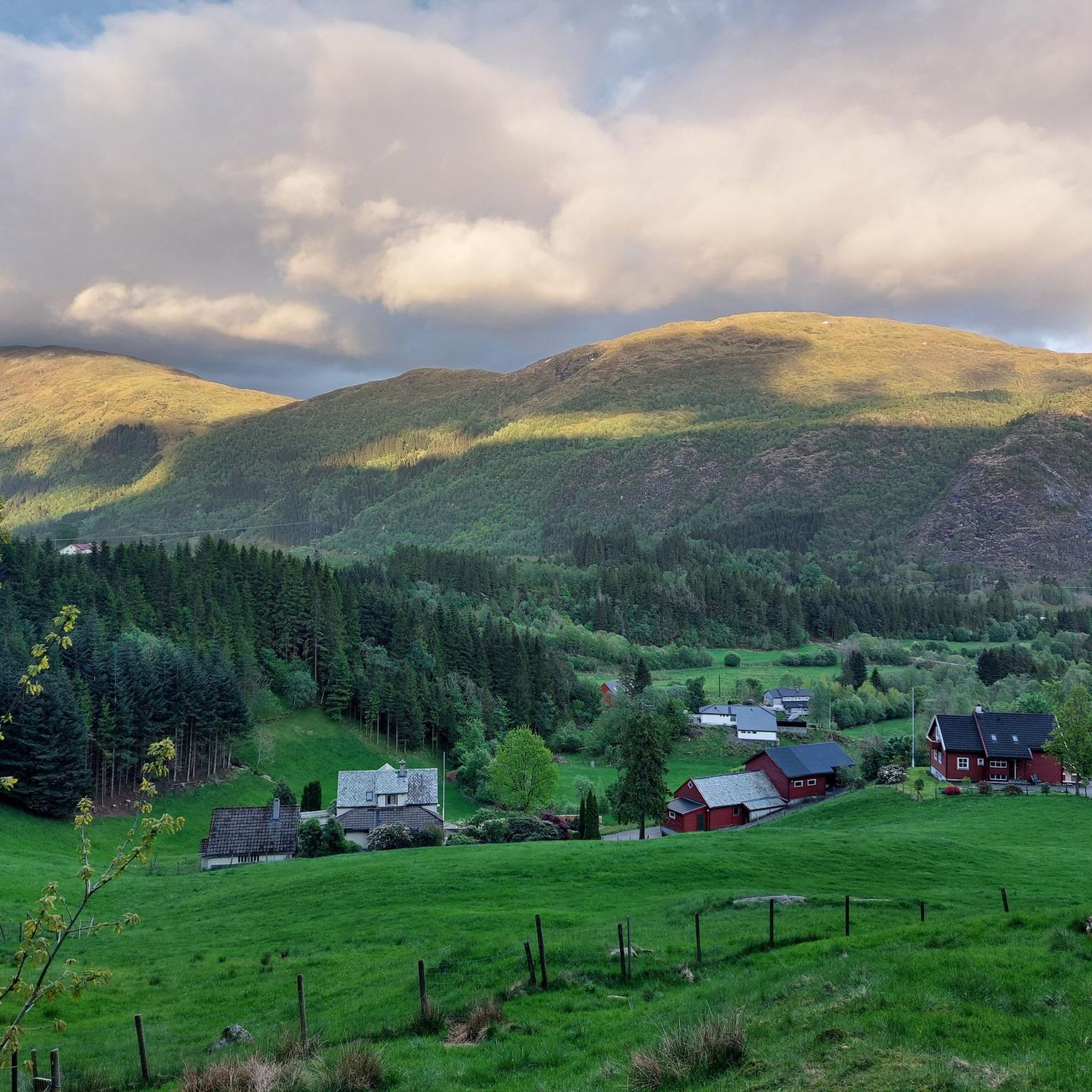
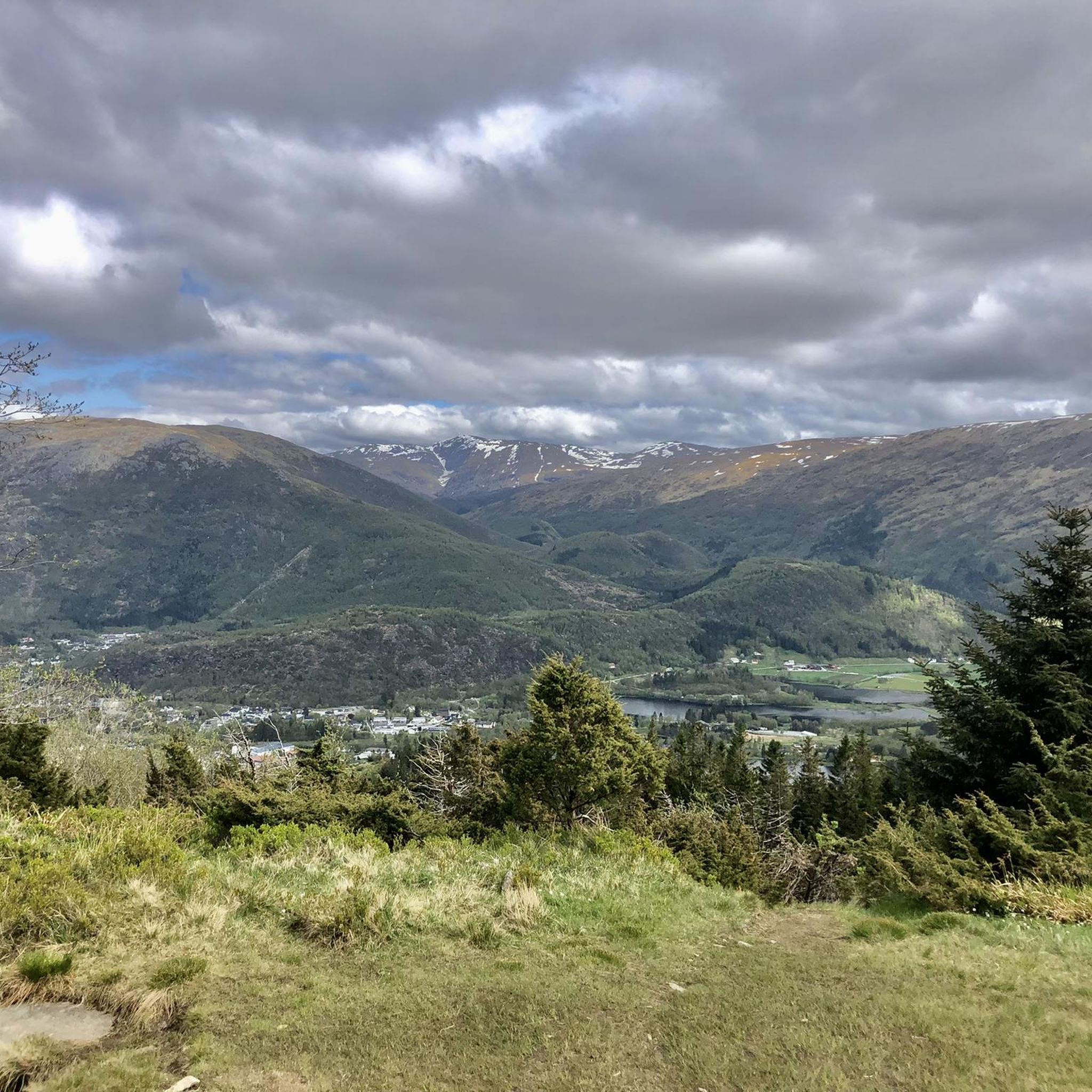
Tips from the Community


Unfortunately no swimming areas, but a nice shady path around it.
0
0

An enchanting view of Bergen and the surrounding area.
0
0
Beautiful climb and surroundings. Magnificent view when there is no cloud.
1
0

Altitude 643 m Location: Vestland Province, Norway It is the highest of the seven mountains surrounding the center of Bergen. There are radio and telecommunications masts on the mountain. There is also a restaurant. You can reach the top on foot or by cable car. A beautiful hike.
1
0
You can get to the top by cable car or on foot. It's a bit strenuous to walk (1333) stairs to the top. Bus and cable car ticket there and back costs around €50
0
0

From the summit of Ulriken, you can enjoy a breathtaking 360° panoramic view of Bergen, the surrounding fjords, and the rugged mountains of the Norwegian coast. On a clear day, the view extends far out to sea, while the city lies picturesquely nestled far below. Whether after a strenuous hike up the Sherpa Stairs or a relaxing ride on the Ulriksbanen cable car, the view from the highest of the seven mountains is an absolute highlight and rewards every visitor with unforgettable impressions.
4
0

Nice top with enough space for a break, even if some of the cable-car people make it over to the top.
3
1
Frequently Asked Questions
What is the general difficulty level of mountaineering routes around Haukelandsvatnet?
Mountaineering routes near Haukelandsvatnet offer a range of challenges. While some paths are moderate, requiring good fitness and sure-footedness, many routes are considered difficult. These often involve varied terrain, including steep and firm paths, as well as technical sections that may demand alpine experience. For example, the Markskiltjørna – Tjønane loop from Osavatnet is a difficult route, while the Mountain Lakes near Bergen – Ulriken Summit loop from Haukeland sjukehus is a moderate option.
Are there any family-friendly or easier hiking options near Haukelandsvatnet?
While many mountaineering routes are challenging, the broader area around Haukelandsvatnet does offer easier options. The region boasts a diverse trail system, including leisurely strolls like the 'Flower Path loop from Lone' mentioned in regional research, which are accessible to all fitness levels. These provide a good starting point for families or those seeking a less strenuous experience.
Can I bring my dog on the mountaineering trails around Haukelandsvatnet?
Many trails in Norway are dog-friendly, but it's always best to check local regulations and ensure your dog is capable of handling the terrain. Given the varied and often challenging nature of the mountaineering routes around Haukelandsvatnet, including steep and technical sections, consider your dog's fitness and paw protection. Always keep dogs on a leash, especially in protected areas or during lambing season.
What are some notable landmarks or viewpoints accessible from the mountaineering routes?
The mountaineering routes around Haukelandsvatnet provide access to several significant peaks and offer breathtaking views. You can reach the summit of Skåldalsnipa for beautiful vistas, or ascend Ulriken, the highest of Bergen's seven mountains, for panoramic views of Bergen, the surrounding fjords, and the rugged Norwegian coast. The Oppstemten Stairs to Ulriken loop from Haukeland sjukehus is one route that leads towards Ulriken's summit.
Are there any circular routes for mountaineering in the area?
Yes, there are several circular routes available for mountaineering around Haukelandsvatnet. For instance, the Markskiltjørna – Tjønane loop from Osavatnet is a popular circular trail. Another option is the Mountain Lakes near Bergen – Ulriken Summit loop from Haukeland sjukehus, which also forms a loop.
What is the best time of year for mountaineering around Haukelandsvatnet?
The best time for mountaineering around Haukelandsvatnet is generally during the warmer months, from late spring to early autumn (roughly May to September). During this period, trails are typically free of snow, and weather conditions are more stable, offering better visibility and safer passage. Always check the local weather forecast before heading out, as conditions can change rapidly in mountainous regions.
How can I get to the Haukelandsvatnet hiking areas using public transport?
While specific public transport routes can vary, Bergen has a good public transportation network. Many trailheads, such as those near Haukeland sjukehus, are often accessible by local bus services from Bergen city center. It's advisable to check the local bus schedules and routes (e.g., Skyss) to plan your journey to the starting points of your chosen mountaineering routes.
Are there opportunities for birdwatching near the mountaineering trails?
Yes, the area around Haukelandsvatnet offers excellent birdwatching opportunities. The nearby Nesvika Nature Reserve, a thriving wetland area, is a protected wildlife reserve and serves as a nesting, feeding, and wintering ground for various bird species, including mallards, Eurasian teals, tufted ducks, and whooper swans. While mountaineering, you might spot various birdlife, especially closer to the lake and wetland areas.
What should I wear for summer mountaineering in Haukelandsvatnet?
For summer mountaineering around Haukelandsvatnet, it's crucial to dress in layers. Even in summer, mountain weather can be unpredictable. Wear moisture-wicking base layers, a mid-layer for insulation, and a waterproof and windproof outer shell. Sturdy hiking boots with good ankle support are essential, especially for the steep and potentially boggy sections. Always pack a hat, gloves, and extra warm clothing, even if the forecast is good.
What do other mountaineers enjoy most about the routes in Haukelandsvatnet?
The mountaineering routes around Haukelandsvatnet are highly rated by the komoot community, with an average score of 4.75 stars from 3 reviews. Reviewers often praise the diverse terrain, the challenging ascents, and the rewarding panoramic views of the surrounding mountains, valleys, and distant fjords. The access to prominent peaks like Ulriken and Skåldalsnipa is also a significant draw.
Are there any less crowded mountaineering routes or areas to explore?
While popular routes like those leading to Ulriken can see more traffic, the extensive network of trails around Haukelandsvatnet offers opportunities to find quieter paths. Exploring routes that venture further into the mountainous landscape, away from the most direct ascents to prominent peaks, can often lead to a more solitary experience. Consider exploring trails that traverse the slopes of Gullfjellet, which also offers incredible views.
Most popular routes around Haukelandsvatnet

Get inspired with the komoot mobile app


Explore more
Browse the best Mountain Hikes & Routes in other regions.
