The best road cycling routes in Botetourt County
4.7
(6)
974
riders
22
rides
Road cycling routes in Botetourt County traverse a landscape characterized by the Blue Ridge Mountains, offering varied terrain from rolling hills to more strenuous climbs. The James River flows through the county, contributing to the scenic beauty and providing a natural backdrop for many routes. An extensive network of lightly traveled, scenic roads and byways, including portions of the Blue Ridge Parkway, makes the region well-suited for road cycling.
Best road cycling routes in Botetourt County
- The most popular road…
Last updated: August 17, 2026
5
riders
31.2km
01:46
680m
680m
Moderate road ride. Good fitness required. Mostly well-paved surfaces and easy to ride.
43.5km
02:27
550m
550m
Moderate road ride. Good fitness required. Mostly well-paved surfaces and easy to ride.

Sign up for free
24
riders
53.4km
02:23
480m
480m
Moderate road ride. Good fitness required. Mostly well-paved surfaces and easy to ride.
5.0
(1)
20
riders
39.1km
01:50
440m
440m
Moderate road ride. Good fitness required. Mostly well-paved surfaces and easy to ride.
10
riders
75.0km
04:05
1,450m
1,450m
Hard road ride. Very good fitness required. Mostly well-paved surfaces and easy to ride.
9
riders
118km
06:49
2,670m
2,670m
Hard road ride. Very good fitness required. Mostly well-paved surfaces and easy to ride.
6
riders
51.2km
02:19
410m
410m
Moderate road ride. Good fitness required. Mostly well-paved surfaces and easy to ride.
7
riders
Hard road ride. Very good fitness required. Mostly well-paved surfaces and easy to ride.
8
riders
40.0km
02:09
460m
460m
Moderate road ride. Good fitness required. Mostly well-paved surfaces and easy to ride.
5
riders
87.5km
04:19
1,010m
1,010m
Hard road ride. Very good fitness required. Mostly well-paved surfaces and easy to ride.
Get access to more routes and recommendations from other explorers.
Sign up for free
Already have an account?
Our route recommendations are based on thousands of hikes, rides, and runs completed by other people on komoot.
Start today with a free account
Your next adventure awaits.
Login or Signup
Popular around Botetourt County

Road Cycling Routes around Daleville

Road Cycling Routes around Laymantown

Road Cycling Routes around Cloverdale

Road Cycling Routes around Blue Ridge

Road Cycling Routes around Troutville
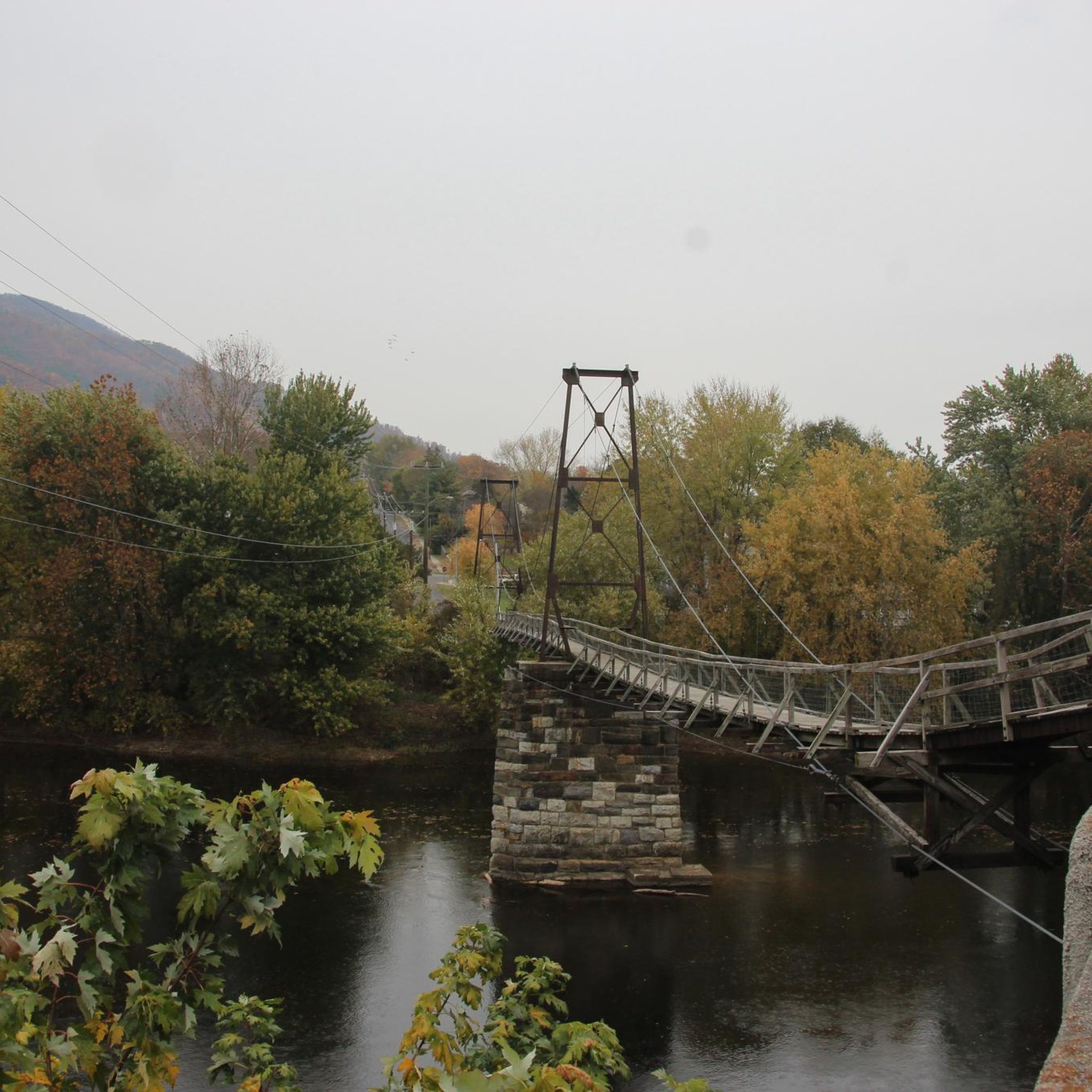
Road Cycling Routes around Buchanan

Road Cycling Routes around Fincastle
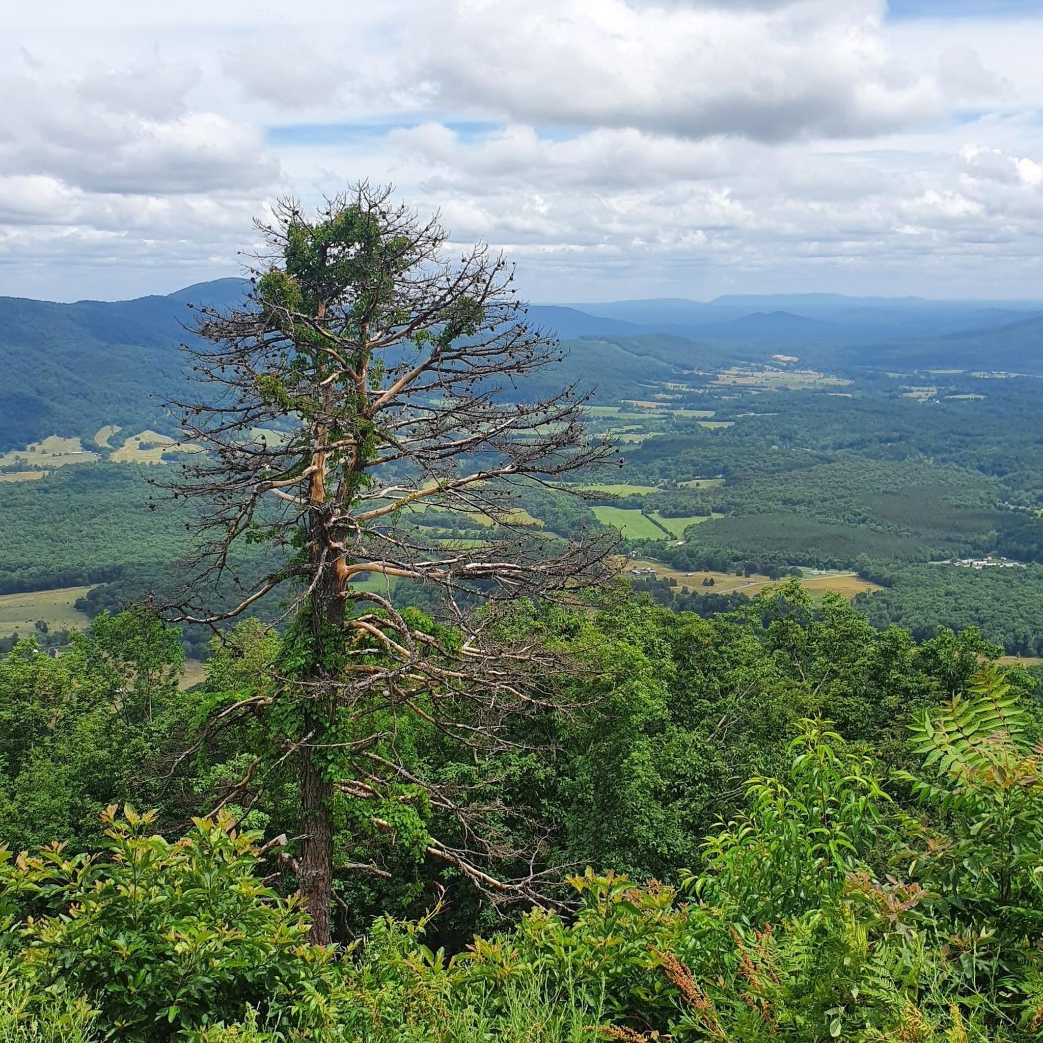
Hiking in Botetourt County
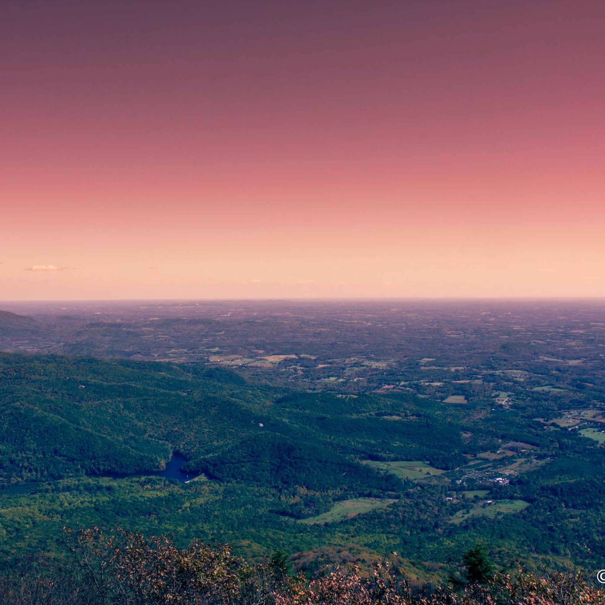
Cycling in Botetourt County

MTB Trails in Botetourt County
Tips from the Community

The Natural Bridge in Virginia's Natural Bridge State Park is a stunning geological formation located along the Cedar Creek Trail. Standing 215 feet high and 90 feet wide, this natural limestone arch was carved by Cedar Creek over millions of years. The bridge has a rich history; once considered sacred by the Monacan people and later surveyed by a young George Washington, it is a National Historic Landmark, drawing visitors to marvel at it and explore the surrounding trails. The Cedar Creek Trail beneath the bridge offers a scenic 1.6-mile walk, passing by the bridge, a waterfall, and the Monacan Indian Living History Exhibit, making it a popular destination for locals and visitors alike.
2
1

The Mills Gap Overlook is a short detour off of the Appalachian Trail, but it is definitely worth getting off the trail and stopping to enjoy the view. The viewpoint is also right where the Blue Ridge Parkway intersects with the trail, so there is a good chance you will see others enjoying this spot.
0
0

The Memorial Bridge of Roanoke supports the Roanoke River Greenway and has wide sidewalks on both sides of the car lanes that bikes use. The bridge has two-lane traffic and spans 785 feet across the Roanoke River. While riding here, pay attention and find all five plaques, with quotes from Patrick Henry, Theodore Roosevelt, Stonewall Jackson, and Thomas Jefferson. The last plaque has the names of World War I victims.
0
0

The Taubman Museum of Art began as a temporary exhibit at the Hotel Roanoke in 1947. The current 81,000 square foot museum was designed by famed architect Randall Stout. The museum houses both a permanent collection and rotating exhibitions throughout the year. The best part...general admission is free!
0
0
The Market Square Walkway was built in 1995 to connect the newly renovated Hotel Roanoke with Historic Downtown Roanoke. Trainspotters will enjoy the panoramic view over one of the most active railway corridors in the US.
0
0
Roanoke's City Market is the oldest continuously operating markets in Virginia, getting its start in 1882. In addition to the excellent food on offer the surrounding historic district is home to other attractions such as the Roanoke Pinball Museum.
0
0

Located at Milepost 110.6 on the Blue Ridge Parkway, Stewarts Knob Overlook offers a view of the city of Roanoke. The view is not the most picturesque on the parkway, but it does have ample parking and a bench. The view of the city is really the best one you'll get of Roanoke while on the parkway.
0
0
The Roanoke River Overlook is located at Milepost 114 on the Blue Ridge Parkway. You can either lock up your bike and hike the short spur trails down to the river or just take in the view from the overlook. There are also some pretty great views from the bridge that actually crosses the river.
0
0
Frequently Asked Questions
What is the general terrain like for road cycling in Botetourt County?
Botetourt County offers a diverse road cycling terrain, characterized by the Blue Ridge Mountains. Cyclists can expect everything from gentle rolling hills and farmlands to more strenuous climbs, particularly along sections of the Blue Ridge Parkway. The James River also contributes to the scenic beauty, often providing a natural backdrop for routes.
How many road cycling routes are available in Botetourt County?
Komoot features over 20 road cycling routes in Botetourt County, catering to various skill levels. These routes traverse the county's scenic landscapes, offering a wide range of distances and elevations for exploration.
What are the difficulty levels of road cycling routes in Botetourt County?
The routes in Botetourt County are evenly split between moderate and difficult classifications. There are 10 moderate routes, suitable for intermediate riders, and 10 difficult routes, which provide a significant challenge with substantial elevation gains for experienced cyclists.
Are there scenic viewpoints along the road cycling routes in Botetourt County?
Yes, Botetourt County's mountainous terrain offers numerous scenic viewpoints. Routes like Mills Gap Overlook from Salt Pond Road lead to impressive vistas. The Onion Mountain Overlook is another notable spot, providing expansive views of the surrounding Blue Ridge Mountains.
What natural features can I expect to see while cycling in Botetourt County?
Cyclists in Botetourt County will encounter a rich array of natural features. The routes often wind through the Blue Ridge Mountains, alongside the James River, and through parts of the Jefferson National Forest. You might also pass by waterfalls like Apple Orchard Falls or Fallingwater Cascades, and experience the lush forested landscapes.
Are there long-distance road cycling routes in Botetourt County?
Absolutely. Botetourt County is part of the TransAmerica Bicycle Trail (U.S. Bike Route 76), a significant cross-country route. For local long-distance options, routes like Natural Bridge of Virginia – Onion Mountain Overlook loop from Buchanan Quick Stop offer over 70 miles of riding, while Natural Bridge of Virginia – Caverns at Natural Bridge loop from The Pinnacle extends to nearly 90 miles.
Can I find loop road cycling routes in the area?
Yes, many road cycling routes in Botetourt County are designed as loops, offering convenient starting and ending points. Examples include the Buchanan Swinging Bridge loop from Fincastle, the Buchanan Swinging Bridge loop from Buchanan, and the Roanoke River Overlook – Stewarts Knob Overlook loop from Coyner Springs.
Are there family-friendly road cycling options in Botetourt County?
While many routes involve varied terrain, the Greenfield Recreational Park offers the cinder-surfaced Cherry Blossom Trail, which is suitable for more leisurely rides and families. For road cycling, routes with less elevation gain and lighter traffic would be more appropriate for family outings.
What about challenging climbs for experienced cyclists?
Botetourt County is an excellent destination for challenging climbs. The Blue Ridge Parkway itself provides significant elevation changes. Specific routes like Buchanan Swinging Bridge loop from Nace and Natural Bridge of Virginia – Caverns at Natural Bridge loop from The Pinnacle feature over 1000 meters and 2000 meters of elevation gain respectively, offering strenuous ascents.
What do other cyclists enjoy most about road cycling in Botetourt County?
The area is highly rated by the komoot community, with an average score of 5.0 stars. Cyclists often praise the region's stunning natural landscapes, the varied terrain from rolling hills to challenging mountain ascents, and the extensive network of lightly traveled, scenic roads and byways that make for an exceptional cycling experience.
What is the best time of year for road biking in Botetourt County?
Botetourt County benefits from a favorable climate for cycling. Spring and fall generally offer the most pleasant temperatures and vibrant scenery, with blooming wildflowers in spring and colorful foliage in autumn. Summer can be warm, but early morning rides are often enjoyable. Winter cycling is possible, but conditions can vary, especially at higher elevations.
Are there specific roads known for road cycling in Botetourt County?
Beyond the iconic Blue Ridge Parkway, Botetourt County is known for its network of scenic roads and byways. Routes such as 43, 615, 621, and 606 are popular among cyclists for their picturesque views and varying terrain. Old Catawba Road is specifically noted for its challenging climbs.
Is there information on parking for road cycling trails in Botetourt County?
While specific parking details vary by route, many trailheads and points of interest in Botetourt County offer designated parking areas. For routes starting in towns like Buchanan or Fincastle, public parking is generally available. It's always advisable to check route descriptions or local municipal websites like botetourtva.gov for specific trailhead access and parking information.
Most popular routes in Botetourt County
Most popular attractions in Botetourt County

Get inspired with the komoot mobile app


Didn’t find what you were looking for?
Check out more Road cycling routes throughout Botetourt County below and find the perfect route in your destination.
Explore more
Browse the best Road cycling routes in other regions.
