The best MTB trails in Northwest Hills Planning Region
5.0
(6)
122
riders
14
rides
Mountain biking in Northwest Hills Planning Region offers diverse terrain across Connecticut's Litchfield Hills. The region features rolling hills, expansive forests, and varied topography, providing a dynamic environment for mountain bike trails. Riders can expect routes that include both challenging climbs and exhilarating descents through dense woodlands and near significant water bodies. This landscape creates a rich backdrop for outdoor exploration on two wheels.
Best mountain bike trails in Northwest Hills Planning Region
- The most popular mountain bike trail is Where's Waldo, Extra Credit and Thing Trails Loop, a 3.6 miles (5.8 km) trail that takes about 30 minutes to complete. This easy route offers a quick ride through varied forest sections.
- Another top favourite among local mountain bikers is Nassahegon State Forest loop from Nassahegon State Forest, an easy 9.1 miles (14.7 km) path. This route winds through the extensive Nassahegon State Forest, providing a scenic and accessible ride.
- Local mountain bikers also love the Nassahegon State Forest – Wildcat Mountain loop from Nassahegon State Forest, a 17.0 miles (27.3 km) trail leading through Nassahegon State Forest and towards Wildcat Mountain, often completed in about 2 hours 32 minutes.
- Mountain biking in Northwest Hills Planning Region is defined by rolling hills, expansive forests, and significant water features. The network offers options for different ability levels, from easy paths to more challenging moderate routes.
- The routes in Northwest Hills Planning Region are highly rated by the komoot community with an average score of 5.0 stars from 8 reviews. More than 150 mountain bikers have used komoot to explore Northwest Hills Planning Region's varied terrain.
Last updated: August 22, 2026
5.0
(3)
15
riders
5.79km
00:30
50m
50m
The Where's Waldo, Extra Credit and Thing Trails Loop offers a delightful, easy mountain biking experience through the George C. Waldo State Park. You'll navigate well-maintained forest trails, enjoying the natural surroundings and occasional peeks at Lake Lillanonah. It's a fantastic option for a quick, enjoyable ride without demanding technical sections or strenuous climbs, perfect for building confidence or a relaxed outing.
Planning your visit to this easy 3.6-mile (5.8 km) loop, which takes about 29 minutes to complete with its modest 154 feet (47 metres) of elevation gain, is straightforward. As a park trail, it's generally accessible, but always check for any local advisories or specific parking instructions before you head out. This route is suitable for a ride at any time of day, though early mornings might offer a quieter experience.
This loop is a great introduction to mountain biking in the South Central Connecticut Planning Region, offering a taste of the local forest environment. Its approachable difficulty makes it a standout choice for beginners or families looking for a fun, low-commitment ride. It's a solid option if you're seeking a less crowded alternative to more intense trails, providing a peaceful escape into nature.
5.0
(1)
20
riders
Moderate mountain bike ride. Good fitness required. Suitable for all skill levels.

Sign up for free
21
riders
8.71km
00:49
140m
140m
Easy mountain bike ride. Great for any fitness level. Suitable for all skill levels.
4.0
(2)
9
riders
Moderate mountain bike ride. Good fitness required. Suitable for all skill levels.
9
riders
6.09km
00:31
50m
50m
Easy mountain bike ride. Great for any fitness level. Suitable for all skill levels.
5
riders
31.2km
02:26
410m
410m
Moderate mountain bike ride. Good fitness required. Suitable for all skill levels.
8
riders
13.8km
01:11
120m
120m
Easy mountain bike ride. Great for any fitness level. Suitable for all skill levels.
7
riders
13.6km
01:24
290m
290m
Easy mountain bike ride. Great for any fitness level. Suitable for all skill levels.
Get access to more routes and recommendations from other explorers.
Sign up for free
Already have an account?
Our route recommendations are based on thousands of hikes, rides, and runs completed by other people on komoot.
Start today with a free account
Your next adventure awaits.
Login or Signup
Popular around Northwest Hills Planning Region

MTB Trails around Terryville

MTB Trails around Northwest Harwinton
MTB Trails in Nepaug State Forest

The Appalachian Trail — America's most iconic long-distance hike
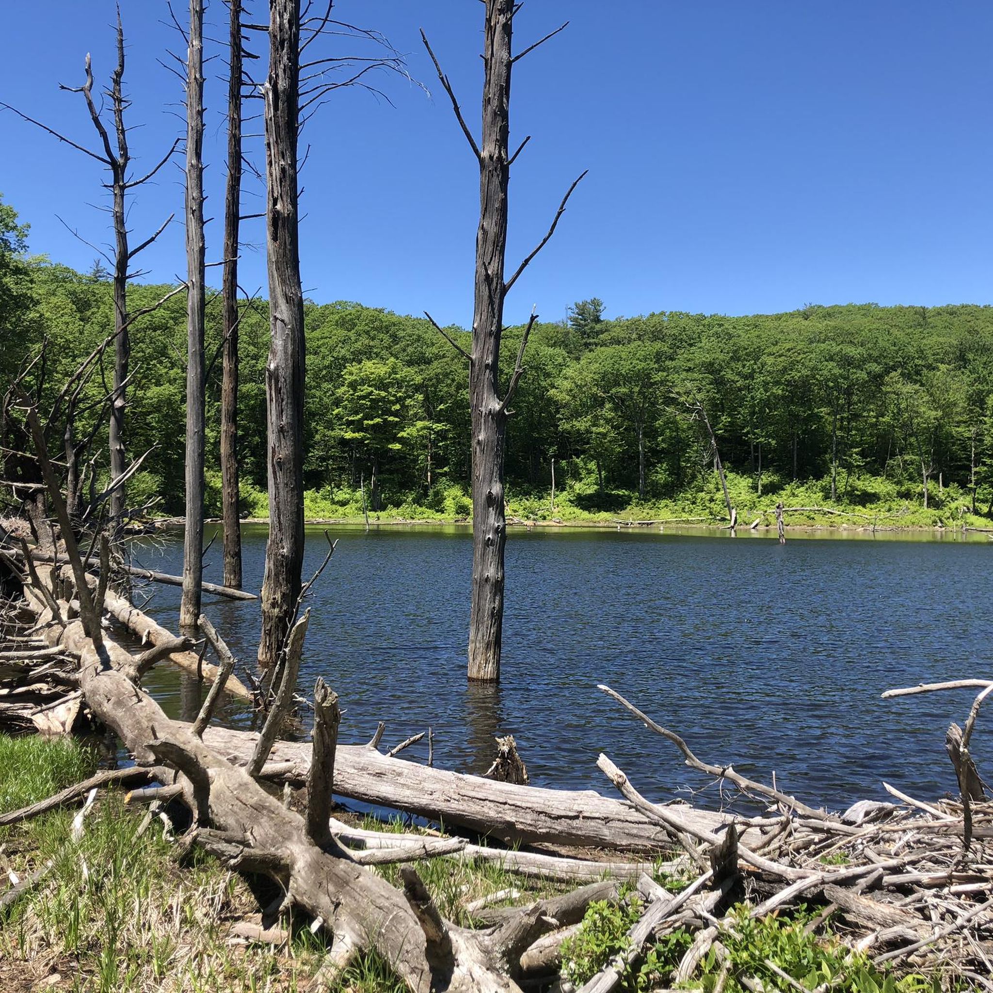
Hiking in Northwest Hills Planning Region
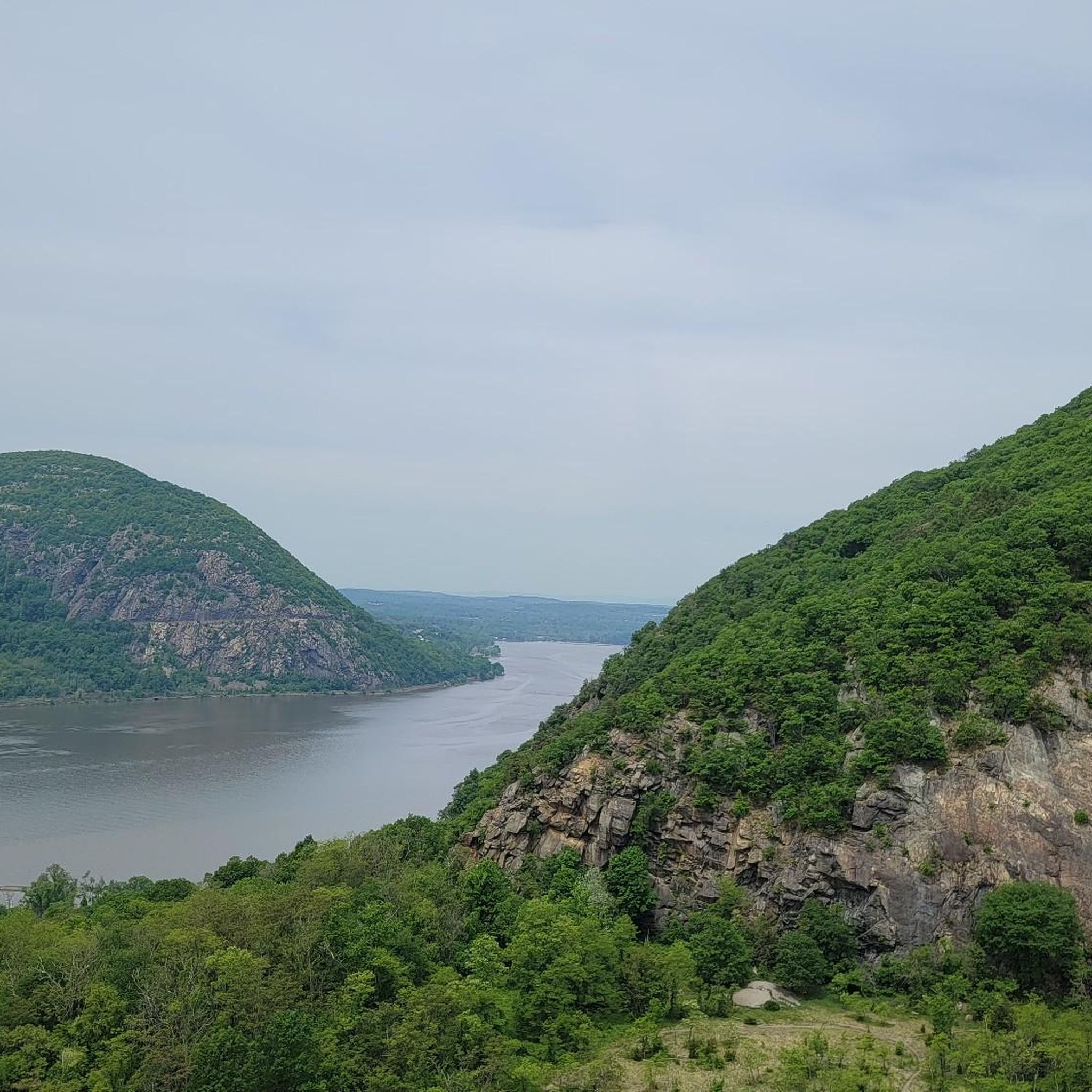
Road Cycling Routes in Northwest Hills Planning Region
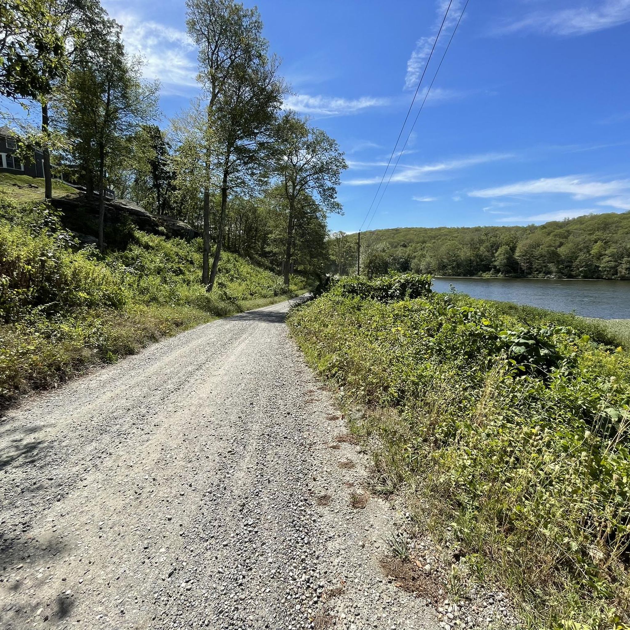
Cycling in Northwest Hills Planning Region
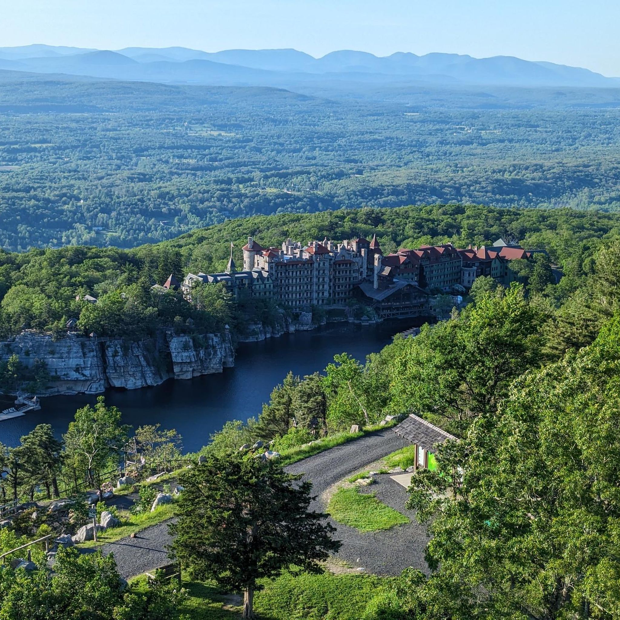
Running Trails in Northwest Hills Planning Region
Gravel biking in Northwest Hills Planning Region
Other adventures in Northwest Hills Planning Region

Tips from the Community

Southbury to Oxford still closed as of 9/1/25 due to flooding washout. Road detours possible.
0
0

Stretching about 10 miles, the Larkin State Park Trail in Connecticut meanders through wooded terrain, open expanses, and scenic meadows. Renowned for its diverse plant and animal life, it attracts nature lovers seeking to immerse themselves in the area's vibrant natural beauty.
1
0

Whittemore Glen State Park is a 242-acre wilderness park across Route 63 from Hop Brook Dam and is known for housing a portion of the Larkin State Park Trail.
2
0

Great view of Lake Lillanonah from the woods. It's worth the short detour off the trail to the viewpoint. During the summer, you can see kayakers and swimmers enjoying the lake's waters.
0
0
George Waldo State Park spans 150 acres of varied terrain. Along the trails you will pass through deciduous and coniferous forests.
0
0

With a length of approximately 10 miles, the Larkin State Park Trail in Connecticut winds through wooded areas, open fields, and meadows. The trail is known for its vibrant flora and fauna, making it a popular destination for hikers and nature enthusiasts.
0
0

The Nepaug River flows through the state park, which is also dotted with wetlands. But mountains like Satan's Kingdom and Slasher Ledges, each with about 1,000 feet, also dot the landscape. The Tunxis Trail, marked with blue blazes, runs through the park
2
0
The Nassahegon State Forest in Burlington, is a dense forest with beautiful trails for biking and hiking. It is popular for its huge trail system for mountain bikers, making it an absolute paradise for everybody who likes riding his bike in a great natural environment.
0
0
Frequently Asked Questions
How many mountain bike trails are available in the Northwest Hills Planning Region?
The Northwest Hills Planning Region offers nearly 20 mountain bike trails, catering to various skill levels. You'll find a good mix, with 12 easy routes and 6 moderate routes to explore.
What kind of terrain can I expect when mountain biking in the Northwest Hills Planning Region?
The region, synonymous with Connecticut's Litchfield Hills, features diverse terrain. You can expect rolling hills, expansive forests, and varied topography, including challenging climbs and exhilarating descents. Trails often wind through dense woodlands and near significant water bodies, providing a dynamic and scenic riding experience.
Are there any easy mountain bike trails suitable for beginners or families?
Yes, the Northwest Hills Planning Region has 12 easy mountain bike routes. For a relatively short and scenic ride, consider the Where's Waldo, Extra Credit and Thing Trails Loop, which is 3.6 miles long. Another accessible option is the Nassahegon State Forest loop from Nassahegon State Forest, an easy 9.1-mile path winding through extensive woodlands.
What are some longer mountain bike routes for experienced riders?
For those seeking a longer ride, the region offers several moderate trails. The Whittemore Glen State Park – Larkin State Park Trail loop from Larkin State Park Trail is a substantial 30.4-mile route. Another great option is the Wildcat Mountain – Nassahegon State Forest loop from Nassahegon State Forest, which covers 22.7 miles and offers a moderate challenge.
Are there any mountain bike trails that are loop routes?
Many of the mountain bike trails in the Northwest Hills Planning Region are designed as loops. Examples include the Where's Waldo, Extra Credit and Thing Trails Loop, the Nassahegon State Forest loop from Nassahegon State Forest, and the Nassahegon State Forest – Wildcat Mountain loop from Nassahegon State Forest, all providing circular routes for convenient riding.
What do other mountain bikers say about the trails in this region?
The mountain bike trails in the Northwest Hills Planning Region are highly rated by the komoot community, with an average score of 5.0 stars from 8 reviews. Riders often praise the varied terrain, the serene forest settings, and the well-maintained paths that cater to different skill levels.
Are there any notable natural features or landmarks to see along the mountain bike trails?
Yes, the region is rich with natural beauty. You might encounter significant peaks like Bear Mountain, or enjoy views of various water bodies. The area also features spectacular waterfalls, such as those found at Kent Falls State Park, which are worth exploring. Additionally, you can find unique man-made structures like Bulls Bridge and the Steep Rock Tunnel.
Can I find trails near lakes or reservoirs?
Absolutely. The Northwest Hills Planning Region is abundant with water features. You can find trails near Lake Waramaug State Park, Lake McDonough, and Colebrook River Lake. These areas often provide scenic riding opportunities alongside the water.
Are there any state parks in the Northwest Hills Planning Region with mountain biking trails?
Yes, several state parks in the region offer dedicated trails for mountain biking. These include Kettletown State Park, Black Rock State Park, Macedonia Brook State Park, and Burr Pond State Park, providing extensive networks for outdoor recreation.
What is the best time of year to go mountain biking in the Northwest Hills Planning Region?
The Northwest Hills Planning Region is beautiful throughout the year, but spring, summer, and fall generally offer the best conditions for mountain biking. Spring brings lush greenery, summer provides warm weather, and fall showcases stunning foliage. Always check local trail conditions, especially after heavy rain or during winter months, as some trails may be muddy or covered in snow.
Are there any trails that pass through wildlife management areas?
Yes, you can find trails that traverse significant natural areas. For example, the Mountainbike loop from Sessions Woods Wildlife Management Area offers an easy 19.5-mile ride through a protected natural environment, providing opportunities to observe local wildlife.
What is the average duration for mountain bike trails in this region?
The duration varies significantly depending on the trail's length and difficulty. Easy routes like the Where's Waldo, Extra Credit and Thing Trails Loop can be completed in about 30 minutes, while longer moderate trails such as the Nassahegon State Forest – Wildcat Mountain loop from Nassahegon State Forest might take around 2 hours and 32 minutes.
Most popular routes in Northwest Hills Planning Region
Most popular attractions in Northwest Hills Planning Region

Get inspired with the komoot mobile app


Didn’t find what you were looking for?
Check out more MTB trails throughout Northwest Hills Planning Region below and find the perfect route in your destination.
Explore more
Browse the best MTB trails in other regions.
