Routes

Planner

Features

Updates

App

Login or Signup

Get the App

Login or Signup

Login or Signup

Routes
Hikes
United States
Alabama

Madison County

The best walks and hikes in Madison County

4.7

(88)

733

hikers

92

hikes

Hiking in Madison County is concentrated around its nature preserves and state parks, such as Monte Sano State Park and Blevins Gap Nature Preserve. The landscape is defined by forested plateaus, rocky outcrops, and well-maintained trail systems. These routes offer a mix of gentle inclines and more rugged paths through dense woodland, with some trails providing panoramic views of the Tennessee Valley.

Best hiking trails in Madison County

  • The most popular hiking route is Hays Nature Preserve, a 1.9 miles (3.1 km) trail that takes about 47 minutes to complete. This easy route features minimal elevation gain.
  • Another top favourite among local hikers is Rainbow Loop Trail, an easy 1.5 miles (2.4 km) path. The trail offers a pleasant walk through natural surroundings.
  • Local hikers also love the Bill and Marion Certain Trail, a 2.0 miles (3.2 km) trail leading through varied terrain, often completed in about 55 minutes.
  • Hiking in Madison County is defined by forested plateaus, rocky paths, and extensive nature preserves. The trail network provides options for different ability levels, from easy walks to more challenging routes with more elevation.
  • The routes in Madison County are highly rated by the komoot community with an average score of 4.7 stars from over 80 reviews. More than 750 hikers have used komoot to explore Madison County's varied terrain.

Last updated: May 12, 2026

4.7

(3)

24

hikers

#1.

Rainbow Loop Trail

2.44km

00:47

110m

100m

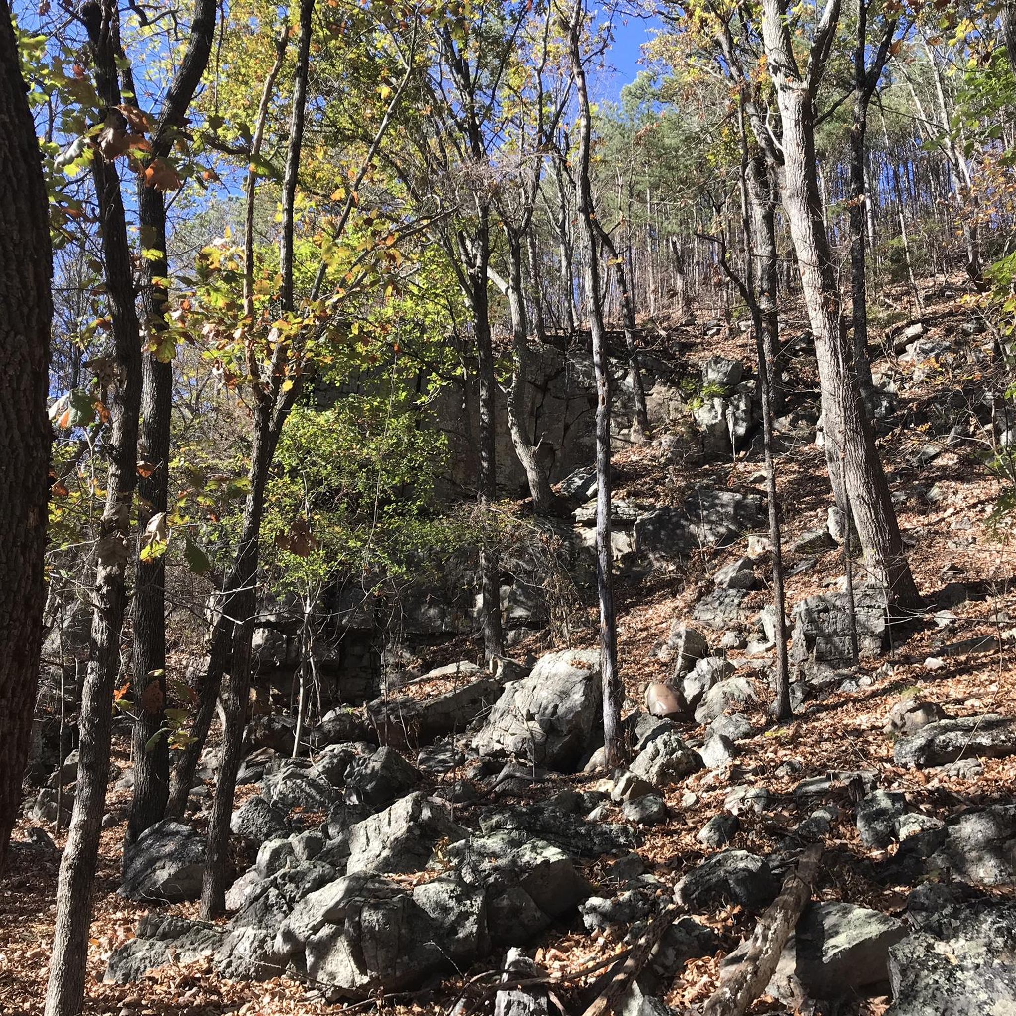
The Rainbow Loop Trail offers an easy hike through a unique geological landscape. You will cover 1.5 miles (2.4 km) with a gentle elevation gain of 345 feet (105 metres), which most people complete in about 46 minutes. As you follow the route, you will encounter impressive limestone slopes and large slabs of cracked sandstone. Keep an eye out for the famous balancing rocks, a true highlight, and you might even spot ancient coral fossils embedded in the rocks along the way. This trail provides a wonderful sense of isolation despite its proximity to the city.

When planning your visit, remember that the Rainbow Loop Trail is generally accessible and offers a convenient escape into nature within Madison. Parking information is usually available at the Rainbow Mountain Nature Preserve entrance. Be aware that the terrain is rocky in places, so sturdy footwear is recommended for a comfortable hike. This ensures you can enjoy the route safely and without discomfort.

What makes the Rainbow Loop Trail stand out is its distinctive geological features. The route winds through terrain rich with ancient coral fossils, offering a glimpse into the region's past. The presence of balancing rocks adds a unique visual element, making it a memorable experience for those interested in natural formations. It's a perfect short outing if you are looking for a quick nature escape with interesting sights.

Navigate with device

Send to Phone

Save

Easy

15

hikers

11.7km

02:58

30m

40m

The Indian Creek Greenway offers a pleasant, moderate hike along a paved multi-use path. You will follow the winding creek, enjoying pleasant shade as the route passes through heavily wooded areas. This 7.3-mile (11.7 km) journey involves a gentle elevation gain of 102 feet (31 metres), taking about 2 hours and 58 minutes to complete. Keep an eye out for charming bridge crossings and potential wildlife sightings like turtles and great blue herons. You might even spot cows and horses grazing in nearby farmland, adding to the scenic experience.

Planning your visit to the Indian Creek Greenway is straightforward, as the route is easily accessible. Parking is likely available near Creekwood Park, which the trail runs through, making it convenient to start your adventure. This family-friendly and dog-friendly route is ideal for various activities, including running, biking, and walking with strollers. Consider visiting during cooler parts of the day for the most comfortable experience.

This greenway stands out as a versatile outdoor option, providing a tranquil escape within the local area. As you traverse the path, you will notice the diverse wildlife, particularly as you pass through Creekwood Park, where rabbits are often seen. The route's design alongside its namesake creek ensures a refreshing atmosphere, making it a popular choice for those seeking a peaceful outing close to home.

Moderate
guide_signup
Let us show you the way with the komoot mobile app
With aΒ free komoot account, you can easily find, customize, and navigate endless outdoor adventures.

Sign up for free

5.0

(2)

12

hikers

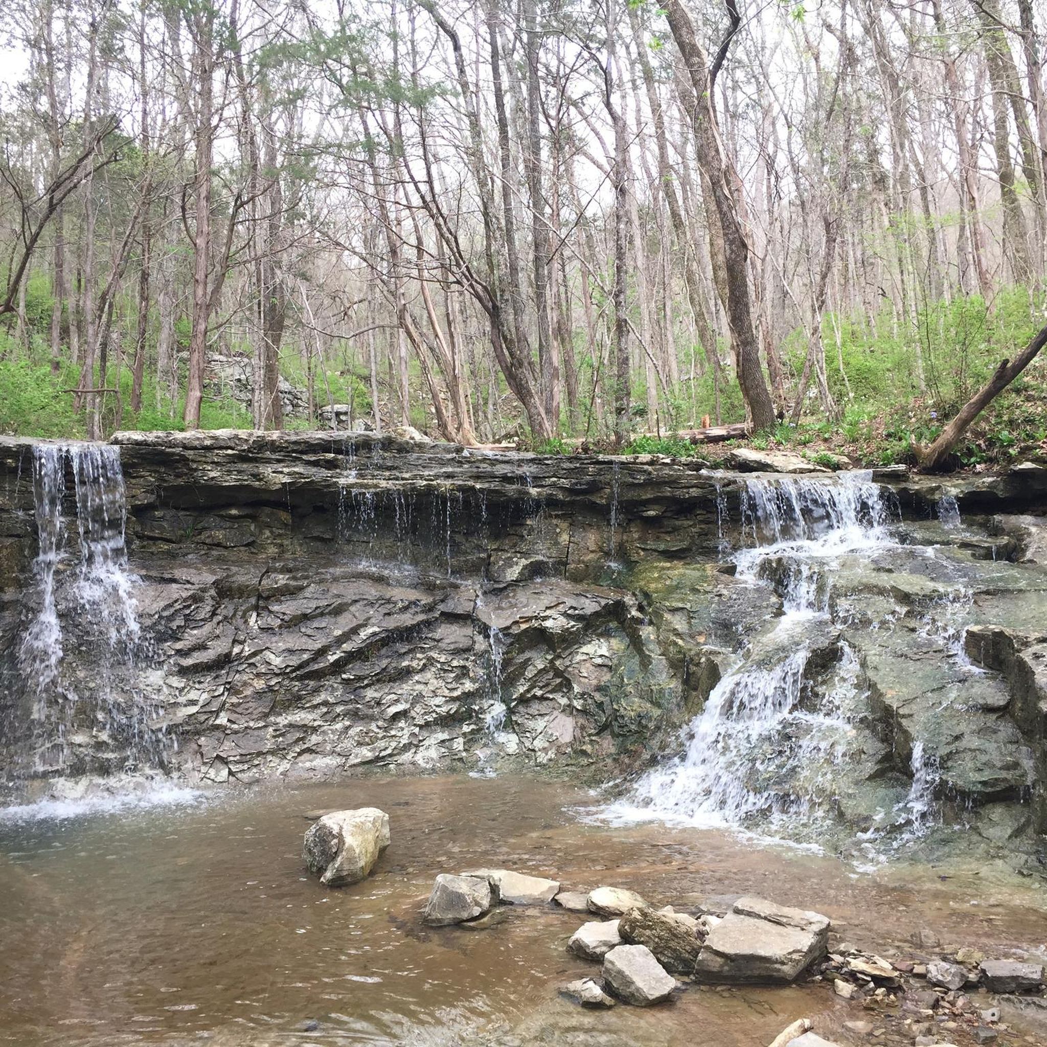
Embark on the Three Caves via Alms House Trail for a moderate hike through picturesque woodland settings, where you will discover abundant vegetation and interesting rock formations. This route spans 3.5 miles (5.7 km) and involves an elevation gain of 448 feet (137 metres), typically taking around 1 hour and 47 minutes to complete. As you hike, you will cross springs and encounter the impressive Dry Falls, especially after a good rain, offering a refreshing natural spectacle.

Before you head out, know that the trail is managed by the Land Trust of North Alabama, ensuring public access to this beautiful area. Be prepared for varied terrain; some sections, particularly at the start and near the Waterline Trail, can be rocky with sharp stones. While the interior of the historic Three Caves is generally closed to visitors, the surrounding area is fully accessible for you to explore and enjoy the views.

This trail stands out for its unique blend of natural beauty and historical significance. It leads you to a vantage point overlooking the Three Caves, which are fascinating former limestone quarry mines. These geological features add a distinctive character to your hiking experience, making the route a notable highlight within the Monte Sano Nature Preserve.

Moderate

Embark on a challenging hike through the North Plateau, Mountain Mist, Logan Point, and McKay Hollow Loop, a difficult route spanning 10.2 miles (16.4 km) with a significant elevation gain of 1167 feet (356 metres). You will navigate varied terrain, including dense forested areas and steep ascents, which typically take around 5 hours and 23 minutes to complete. As you hike, you can enjoy expansive mountain views, especially from behind the Monte Sano Lodge along the North Plateau Loop, offering a rewarding experience for seasoned hikers.

When planning your visit, remember that this route combines several trails within Monte Sano State Park, so be ready for diverse ground conditions. Parking is generally available at the park's main access points, such as near the lookout for the North Plateau Loop. Always check the official park website for any current conditions or alerts before you head out, ensuring a smooth and informed start to your adventure.

This loop offers a unique blend of natural beauty and historical significance. Keep an eye out for the impressive 100-foot waterfall located near the start of the McKay Hollow Trail, a striking natural feature. You will also encounter structures built by the Civilian Conservation Corps, providing a glimpse into the area's past and adding a historical dimension to your outdoor exploration.

Hard

Embark on the Arrowhead and Natural Well Trail Loop for a challenging forest hike. You will navigate diverse terrain, featuring rocky and root-strewn paths, along with steep uphill sections and technical descents. This difficult 10.6-mile (17.1 km) route involves a significant climb of 1205 feet (367 metres) and typically takes around 5 hours and 41 minutes to complete. As you go, you will encounter interesting rock formations, bluffs, and cross a beautiful waterfall twice, adding to the scenic variety. Prepare for a demanding yet rewarding experience through varied natural landscapes.

When planning your visit, be aware that the trail can become muddy and slick, particularly in lower areas and near stream crossings, especially after rainfall. It is advisable to wear appropriate footwear to maintain good traction throughout your hike. While specific permits or fees are not mentioned, general parking is available within Monte Sano State Park. Always check local conditions before heading out to ensure a smooth and enjoyable trip.

The Arrowhead and Natural Well Trail Loop is a notable feature within Monte Sano State Park, offering a deep dive into the region's natural environment. A unique highlight along the route is the Natural Well, a deep vertical shaft cave. This impressive geological formation is safely fenced, allowing you to peer into its depths. The trail provides an excellent opportunity to explore the varied ecosystems and geological wonders of the park.

Hard

4

hikers

Embark on a moderate hike along the Bluff Line Trail and High Trail Loop, a 5.7-mile (9.2 km) route that takes about 3 hours and 2 minutes to complete. You will ascend 604 feet (184 metres) as you explore the varied terrain. The path winds through lush forested areas, where you will discover numerous creek crossings and unique rock formations. Keep an eye out for glimpses of downtown Huntsville and the Space and Rocket Center through the trees, especially when the leaves are sparse. The tranquil woodlands offer a refreshing escape, particularly vibrant with color during autumn.

This trail is generally accessible for hikers of various skill levels. If you plan to bring your canine companion, dogs are welcome on the trail. Please ensure your dog remains on a leash and that you clean up after them to help maintain the natural environment. While beautiful year-round, visiting in the autumn offers a particularly scenic experience with the changing leaves.

Located within the Monte Sano Nature Preserve in Huntsville, Alabama, this loop provides a diverse outdoor experience. As you hike, you will encounter historical remnants of an old railroad bed. Look for rock supports and 'mini-canyons' that were carved by trains in the past, adding a unique historical layer to your journey. This trail offers a blend of natural beauty and intriguing history within the preserve.

Moderate

4

hikers

14.1km

04:45

290m

310m

Embark on the Bluffline Loop for a moderate hiking adventure spanning 8.8 miles (14.1 km) with a total elevation gain of 938 feet (286 metres). This route offers a rewarding experience, typically taking around 4 hours and 45 minutes to complete. As you hike, you will enjoy beautiful forest scenery, especially vibrant with colorful leaves in the fall, and follow the bluff along the edge of Monte Sano. Keep an eye out for the Rocky Creek Bed, a notable gorge within the preserve, which provides a distinct visual landmark along your journey.

Planning your visit to the Bluffline Loop is straightforward. The trail is located within the Monte Sano Nature Preserve, which is easily accessible. You will find parking generally available at the trailhead, and you do not need any permits or have to pay fees to access these trails. This makes it a convenient option for a day out, allowing you to focus on enjoying the natural surroundings without extra hassle.

The Bluffline Loop is part of one of the largest urban land preserves in the United States, offering a significant natural escape close to the city. The Monte Sano Nature Preserve boasts over 22 miles of free public trails, all situated just two miles from downtown Huntsville. This extensive network of trails provides ample opportunities for exploration and makes the Bluffline Loop a key highlight in a region rich with outdoor activities.

Moderate

2

hikers

Embark on the Wagon Trail and High Trail Loop for a moderate hiking experience through varied landscapes. You will navigate rocky singletrack and doubletrack sections, following historical paths once used by wagons. Along the way, discover Fagan Creek Falls, a beautiful waterfall, and keep an eye out for seasonal wildflowers and local wildlife. The High Trail also provides scenic views, with occasional glimpses of downtown Huntsville and the U.S. Space and Rocket Center. This 6.3-mile (10.1 km) loop involves a total elevation gain of 748 feet (228 metres) and typically takes around 3 hours and 17 minutes to complete.

This hiking loop is situated within the Monte Sano Nature Preserve, conveniently located near Huntsville, Alabama. The preserve offers a well-maintained network of trails, making it easy to find your way. You will generally find parking available at the various trailheads within the preserve, ensuring straightforward access to begin your adventure. Before heading out, it is always a good idea to check local conditions to ensure a smooth and enjoyable hike.

The trail's historical paths offer a unique connection to the past, as you walk routes once traversed by wagons. Beyond the natural beauty, the occasional clearings on the High Trail provide a distinct perspective, allowing you to spot landmarks like downtown Huntsville and the U.S. Space and Rocket Center. This blend of natural scenery, historical context, and distant city views makes the route a notable option within the Monte Sano Nature Preserve.

Moderate

1

hikers

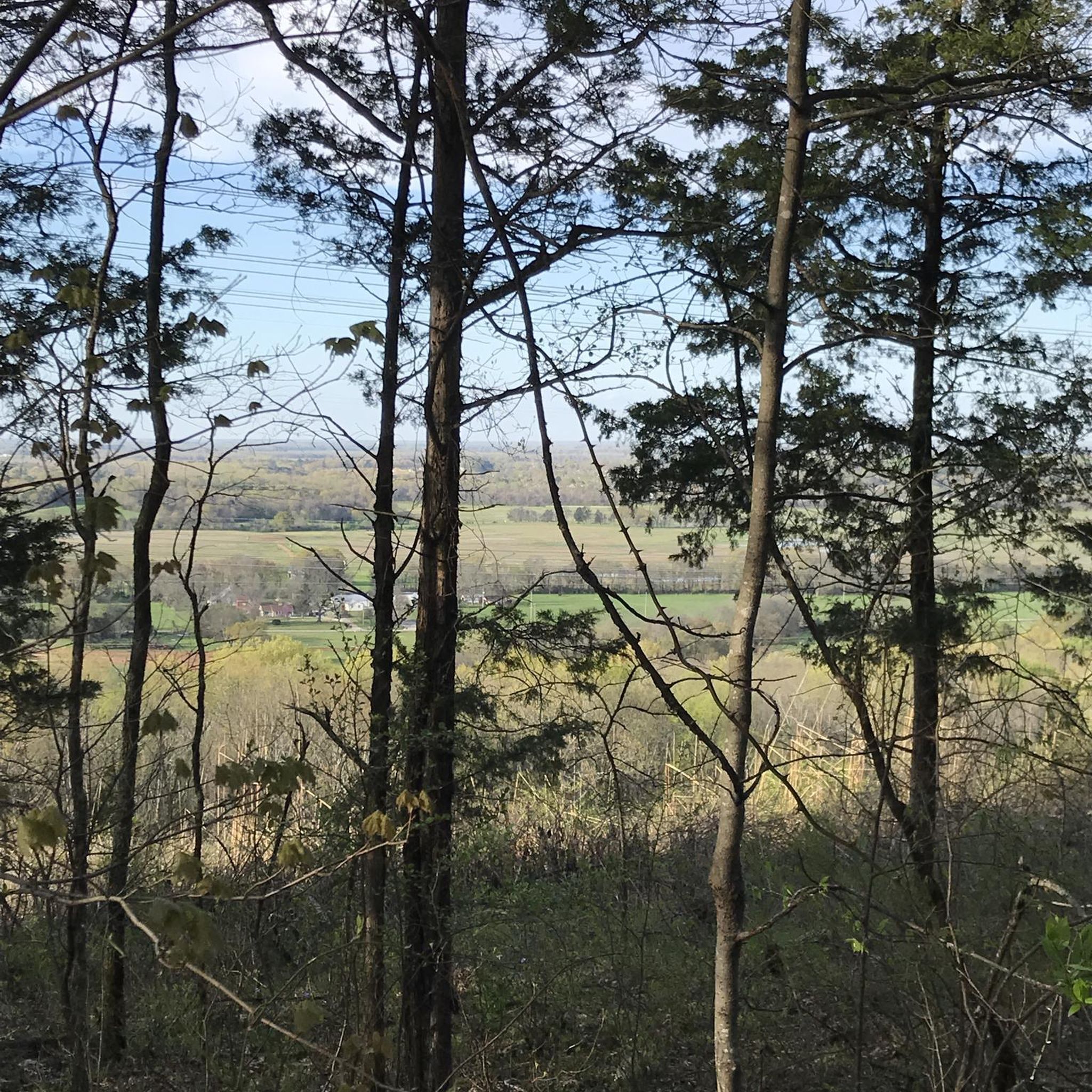
Embark on an easy hike along the Bill and Marion Certain Trail, a 2.0-mile (3.2 km) route that takes about 55 minutes to complete. You will gain 337 feet (103 metres) in elevation, starting with a rocky uphill section through limestone and sandstone formations. As you reach the flatter ridge, the path smooths out, winding through North Alabama's forests and offering panoramic views from power-line cut overlooks of Huntsville, Big Cove, and the distant Tennessee River.

This popular trail is located within the Blevins Gap Preserve, and parking is generally available at its access points. While the initial climb can be strenuous, the rest of the route is more gentle. You are welcome to bring your dog, but please keep them on a leash throughout your visit.

As you explore the diverse terrain, keep an eye out for exposed fossils embedded in the rocks along the way. This unique feature adds an interesting historical touch to your outdoor adventure, making the Bill and Marion Certain Trail a rewarding choice for a quick escape into nature.

Easy

1

hikers

Explore Hays Nature Preserve on an easy 1.9-mile (3.1 km) hike, a route that takes about 47 minutes to complete. You will experience minimal elevation gain, just 13 feet (4 metres), as you wander through diverse landscapes. The trail winds through shady woods and along flowing waters, offering picturesque views. Keep an eye out for the confluence of Big Cove Creek and the Flint River, a notable landmark along your journey. This accessible path is perfect for a quick escape into nature.

Hays Nature Preserve is a public city green space, making your visit straightforward. You will find parking generally available at the trailhead, ensuring easy access to the paths. If you plan to bring your dog, remember to keep them on a leash no longer than 6 feet. Be aware that certain natural surface sections of the trail can become muddy following heavy rainfall. It is always a good idea to check local conditions before you head out, especially after wet weather.

This preserve is known for its rich natural environment, featuring bottomlands and swamps alongside its flowing waters. As you hike, you might spot the impressive Alabama state champion water tupelo tree, a unique feature of the area. Wildlife is abundant here; watch for herons, deer, and even river otters as you immerse yourself in this vibrant ecosystem.

Easy
Sign up for free to see 83 more hikes in Madison County.

Get access to more routes and recommendations from other explorers.

Sign up for free

Already have an account?

Our route recommendations are based on thousands of hikes, rides, and runs completed by other people on komoot.

Start today with a free account

Your next adventure awaits.

Login or Signup

Popular around Madison County

Hiking around Huntsville

Hiking around Moores Mill

Hiking in Monte Sano State Park

Hiking in Alum Hollow Land Trust

Hiking around Redstone Arsenal

Hiking around Madison

Hiking around Owens Cross Roads

Hiking around Meridianville

Hiking around Gurley

Hiking around New Hope

Tips from the Community

Lisa
September 26, 2024, Fagan Creek Falls

This waterfall is small, but pretty β€” a great destination for families. Heads up: The rock under and around the waterfall is limestone, which is extraordinarily slippery when wet.

0

0

This is one of the largest urban land preserves in the US, spanning over 1,100 acres and boasting more than 22 miles of trails for hiking, running, and biking. The trails cater to a diverse range of difficulty levels, ensuring there's something for everyone.

0

0

Daniel Krueger
November 30, 2023, Three Caves

From this spot along the Three Caves Trail, you can take a look at the caves below you. The three holes in the limestone were created when the area was mined.

0

0

This is one of the largest urban land preserves in the US, spanning over 1,100 acres and boasting more than 22 miles of trails for hiking, running, and biking. The trails cater to a diverse range of difficulty levels, ensuring there's something for everyone.

0

0

Additional parking in lot up the hill and on the left from main parking area; porta-potty at trailhead

0

1

Daniel Krueger
September 1, 2023, Three Caves

From this spot along the Three Caves Trail, you can take a look at the caves below you. The three holes in the limestone were created when the area was mine.

0

0

Daniel Krueger
September 1, 2023, Natural Well

Natural Well is located along the trail of the same name and is a 150 feet deep drop in the middle of the forest. Nowadays it's fenced to make sure nobody climbs in and only takes a look at this impressive natural wonder.

1

0

Sansley
September 18, 2022, Natural Well

Amazing natural well that goes down about 4-500 ft

0

0

Frequently Asked Questions

Are there any easy, family-friendly hikes in Madison County?

Yes, there are several great options for families. The North Plateau Loop β€” Monte Sano State Park is a gentle walk of under 2 miles (3 km) on well-maintained paths. Another excellent choice is the Smokerise & Sugar Tree Trails loop, which offers a pleasant hike through the woodlands of Blevins Gap Nature Preserve.

Can I bring my dog on the hiking trails?

Most trails in Madison County's nature preserves and state parks are dog-friendly, but they must be kept on a leash. Places like Monte Sano State Park and the Blevins Gap Nature Preserve are popular with dog owners. Always check the specific regulations for the park you are visiting before you go and be sure to bring water for your pet.

Where can I find hikes with waterfalls or interesting rock formations?

For a trail featuring a waterfall, consider the Alum Hollow & Talus Trails loop in the Green Mountain Nature Preserve, which leads to Alum Falls. If you're interested in unique geology, the Stone Cuts Trail loop via Sinks Trail β€” Monte Sano State Park is famous for its impressive passages through large rock formations.

Are there any long-distance hiking trails in the area?

Yes, you can find several longer routes for a more challenging day out. The Arrowhead & Natural Well Trails loop is a moderate hike of nearly 6 miles (9.4 km). For a similar distance with less elevation gain, you could try the Mountain Mist Trail loop via Fire Tower Trail & South Plateau Loop within Monte Sano State Park.

What is the best time of year to hike in Madison County for fall colors?

The peak season for fall foliage in Madison County is typically from mid-October to early November. During this time, the hardwood forests in Monte Sano State Park and the surrounding nature preserves display vibrant shades of red, orange, and yellow, making it a spectacular time for hiking.

What are some popular places for hiking in Madison County?

Locals and visitors highly regard several key areas. The Madison County Nature Trail on Green Mountain is a popular favorite, known for its peaceful, well-kept walking paths around a lake. For more rugged trails and interesting rock formations, many people head to the Rainbow Mountain Nature Preserve, which offers a variety of routes with scenic overlooks.

Are there many circular hiking routes available?

Yes, the majority of the popular trails in Madison County are loops, making logistics simple. You can find circular routes of varying lengths and difficulties, such as the moderate 4.8-mile (7.7 km) Three Caves via Bluffline, Waterline & Alms House Trail loop, which explores the Monte Sano Nature Preserve.

What is the terrain like on the trails in Madison County?

The terrain is characterized by forested plateaus and rolling hills. You'll encounter a mix of well-maintained dirt paths, some of which can be quite rocky and rooted, especially on moderate-rated trails. Routes in Monte Sano State Park and Blevins Gap Nature Preserve often involve gradual inclines through dense woodlands with occasional steeper sections.

How many hiking trails are there in Madison County?

There are over 60 designated hiking routes in Madison County available on komoot. These range from easy, short walks of just a couple of miles to more strenuous routes over 6 miles (10 km), offering plenty of options for all fitness levels.

Where can I find good parking for the trails?

Most major trail systems have dedicated parking areas. Monte Sano State Park has multiple lots near its main trailheads. For trails on Rainbow Mountain, the Rainbow Mountain Trail Parking area is a well-regarded starting point. It's always a good idea to arrive early on weekends, as popular spots can fill up quickly.

What do other hikers think of the trails in Madison County?

The trails are highly rated by the komoot community, with an average score of 4.8 out of 5 stars. Reviewers frequently praise the well-marked paths, the beautiful dense forests, and the variety of trails available within the region's extensive nature preserves.

Most popular routes in Madison County

Easy hikes in Madison County

Most popular attractions in Madison County

Places to see

Store rating

Get inspired with the komoot mobile app

With aΒ free komoot account, you can easily find, customize, and navigate endless outdoor adventures.

or

Join komoot Now

Store rating

Didn’t find what you were looking for?

Check out more Hikes throughout Madison County below and find the perfect route in your destination.

MadisonMoores MillRedstone ArsenalMonte Sano State ParkMeridianvilleOwens Cross RoadsHuntsvilleAlum Hollow Land TrustNew HopeGurley

Nearby adventure guides

Things to Do in Monte Sano State Park

background

Get ready to conquer new peaks

Sign up for Free

Explore
RoutesRoute plannerFeaturesHikesMTB TrailsRoad cycling routesBikepackingSitemap
Download the app
Follow Us on Socials

Β© komoot GmbH

Privacy Policy