The best walks and hikes around Conters im Prättigau
4.7
(2890)
23,552
hikers
464
hikes
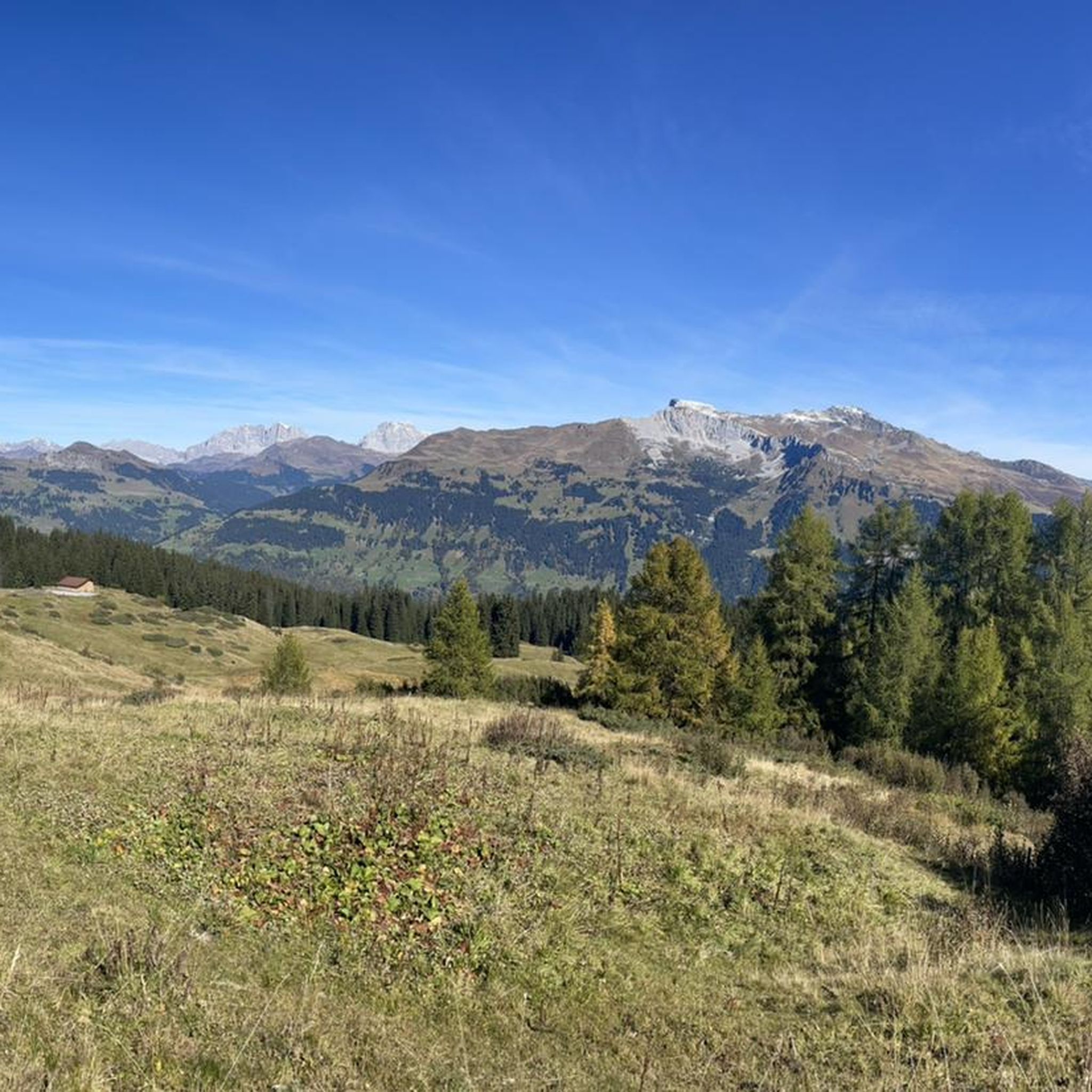
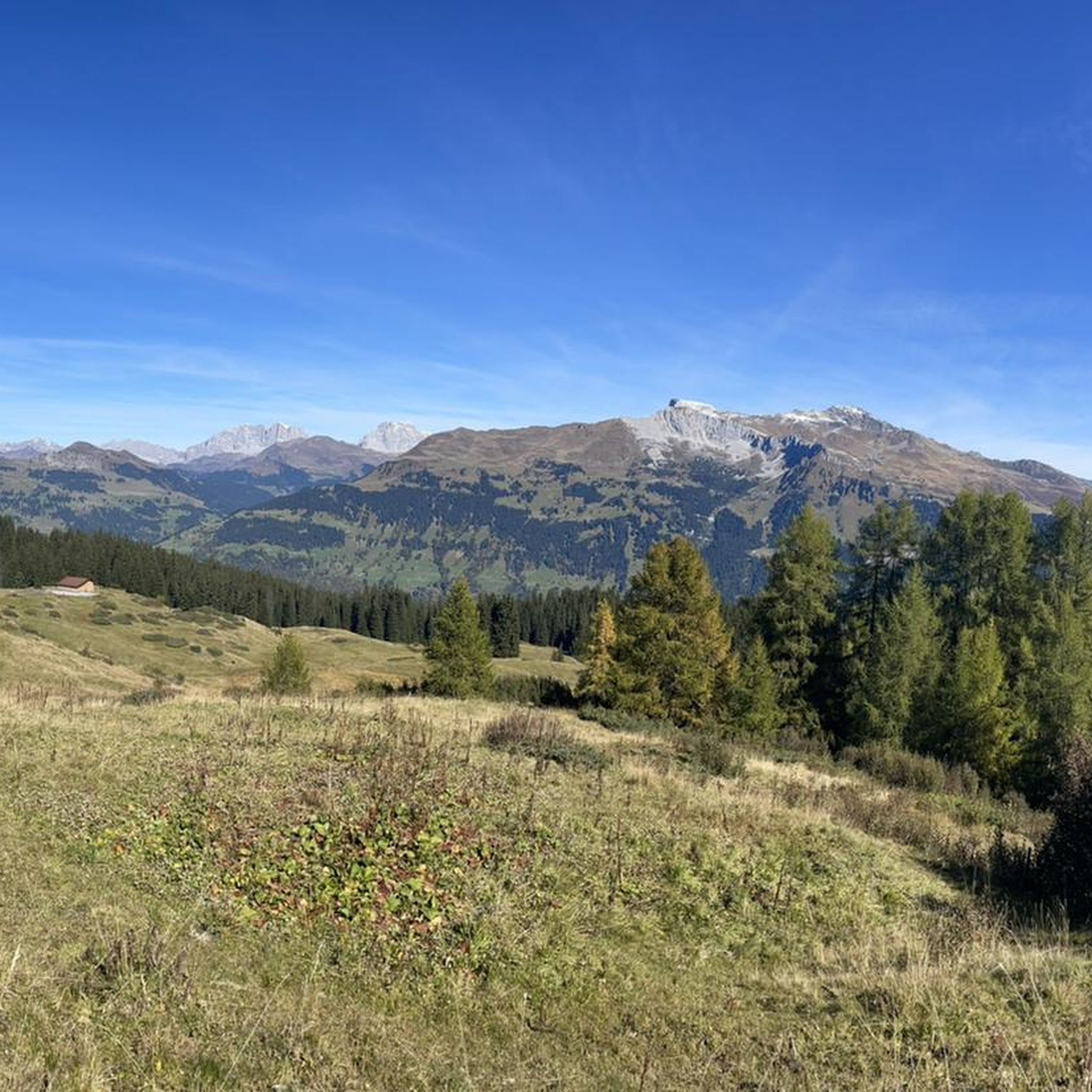
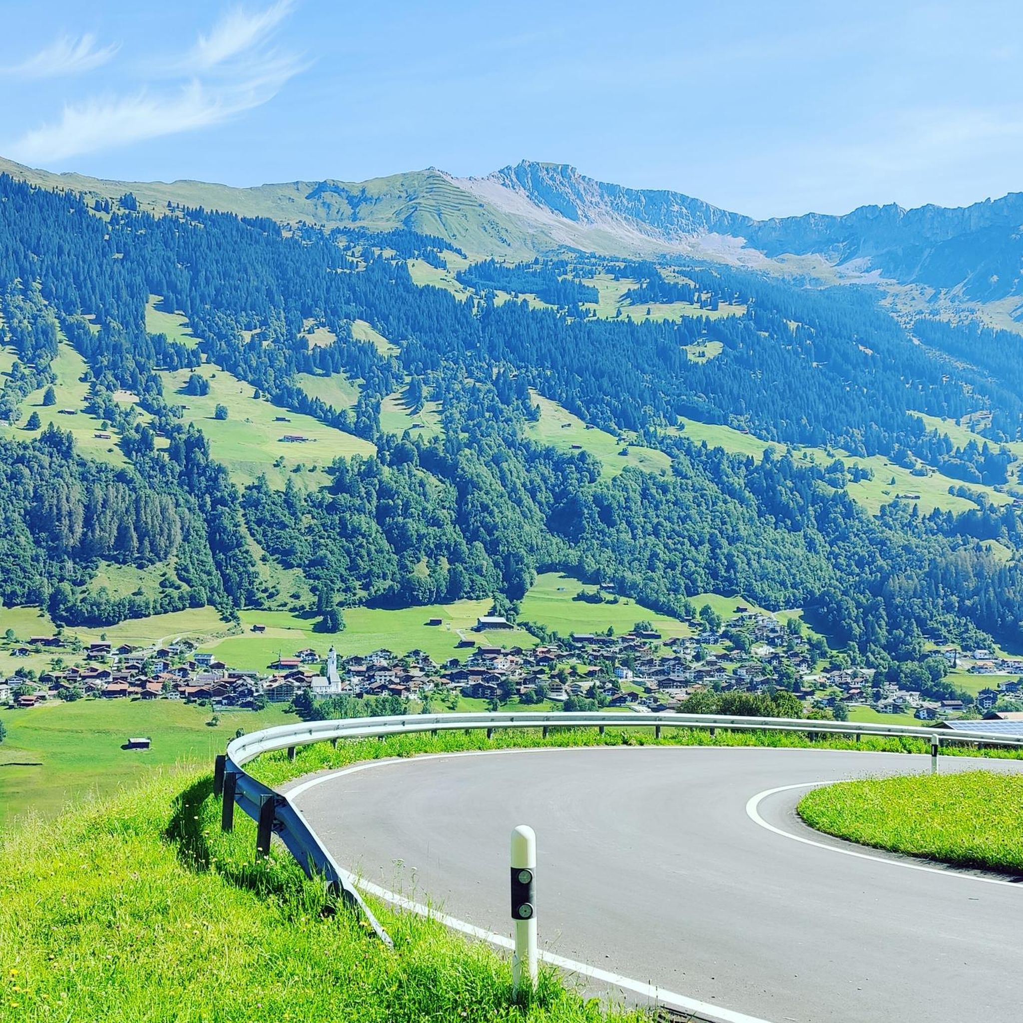
Hiking around Conters im Prättigau offers access to a diverse landscape characterized by the majestic Rätikon range, sprawling alpine meadows, and dense forests. The region, nestled at an elevation of 1100 meters, features a network of trails traversing valleys like Schanfigg and Prättigau. Hikers encounter varied terrain, from gentle paths along rivers to more challenging ascents towards mountain peaks and pristine mountain lakes.
Best hiking trails around Conters im Prättigau
- The most popular hiking route is Saas–Küblis – Bardill Water Fountain loop from Küblis, a 6.3 miles (10.1 km) trail that takes 3 hours 17 minutes to complete. This moderate loop explores the local area around Küblis.
- Another top favourite among local hikers is Bardill Water Fountain loop from Saas, a moderate 6.0 miles (9.7 km) path. This route also features the Bardill Water Fountain, starting from Saas.
- Local hikers also love the Hiking loop from Conters im Prättigau, a 4.4 miles (7.0 km) trail leading through the immediate surroundings of the village, often completed in about 1 hour 57 minutes.
- Hiking around Conters im Prättigau is defined by the Rätikon mountain range, idyllic mountain lakes, and historic Walser settlements. The extensive network of trails offers options for various ability levels, from easy strolls to multi-day expeditions.
- The routes in Conters im Prättigau are highly rated by the komoot community with an average score of 4.7 stars from over 2,800 reviews. More than 22,000 hikers have used komoot to explore Conters im Prättigau's varied terrain.
Last updated: July 1, 2026
4.7
(3)
26
hikers
10.1km
03:17
440m
440m
Moderate hike. Good fitness required. Easily-accessible paths. Suitable for all skill levels.
4.8
(4)
25
hikers
9.60km
03:08
420m
420m
Moderate hike. Good fitness required. Easily-accessible paths. Suitable for all skill levels.

Sign up for free
4.7
(3)
17
hikers
13.4km
04:17
570m
570m
Moderate hike. Good fitness required. Easily-accessible paths. Suitable for all skill levels.
4.5
(4)
14
hikers
7.04km
01:57
130m
130m
Easy hike. Great for any fitness level. Easily-accessible paths. Suitable for all skill levels.
4.0
(3)
13
hikers
7.58km
02:19
250m
250m
Moderate hike. Good fitness required. Easily-accessible paths. Suitable for all skill levels.
Get access to more routes and recommendations from other explorers.
Sign up for free
Already have an account?
Our route recommendations are based on thousands of hikes, rides, and runs completed by other people on komoot.
Start today with a free account
Your next adventure awaits.
Login or Signup
Tips from the Community

It definitely looks better than the castle next door.
0
0
Fun for young and old right on the river.
0
0


There is a nice shady playground, several places to rest and grill and even something like a "natural paddling pool" and a toilet.
0
0

The original church, the date of foundation of which is unknown, was under the patronage of St. Nicholas. In 1472 a new building was erected that integrated Romanesque and Gothic structures from previous buildings. The choir was built in the pre-Reformation period at the end of the 15th century and the nave was vaulted. Source: https://de.wikipedia.org/wiki/Reformierte_Kirche_K%C3%BCblis
0
1
Beautiful forest playground with various play equipment and water area. After a hike, the children can still shoot the last grains of strength here :-)
1
0

Good to make a loop but also just to have a look over the river
1
0
Frequently Asked Questions
How many hiking trails are available in Conters im Prättigau?
Conters im Prättigau offers a vast network of trails, with over 450 hiking routes to explore. These range from easy strolls to challenging multi-day expeditions, ensuring options for all skill levels.
What types of terrain can I expect on hikes in Conters im Prättigau?
The terrain in Conters im Prättigau is highly varied. You'll find everything from gentle paths through lush forests and sprawling meadows to more demanding ascents in the majestic Rätikon range. Expect well-maintained trails, some leading to pristine mountain lakes, and others traversing 'wildly romantic' gorges with waterfalls.
Are there any easy, family-friendly hikes in the area?
Yes, there are numerous easy trails suitable for families. For a pleasant local experience, consider the Hiking loop from Conters im Prättigau, an easy 7 km route that takes you through the immediate surroundings of the village. The region also offers many gentle paths along rivers and through meadows.
Where can I find trails with waterfalls or dramatic gorges?
The region is known for its 'wildly romantic' gorge paths. A notable example is the route connecting Langwies to Conters, which guides hikers through a gorge featuring dramatic waterfalls. You can also explore highlights like the Waterfall Near the Bike Path in Graubünden or the Fondeier Gorge for impressive natural features.
Are there any circular hiking routes in Conters im Prättigau?
Yes, circular routes are a popular option. A relaxed circular path links Küblis, Conters, and Fideris. For a longer adventure, the Saas–Küblis – Bardill Water Fountain loop from Küblis is a moderate 10.1 km trail that explores the local area.
What natural landmarks or points of interest can I see while hiking?
Conters im Prättigau is rich in natural beauty. Hikers can discover idyllic mountain lakes such as Gafiersee, or the scenic Grünsee near Durannapass. The region also boasts impressive mountainous terrain with views of the Rätikon and Silvretta ranges, and unique flora like mountain daffodils and alpine roses in areas like the Fideriser Heuberge.
What do other hikers say about the trails in Conters im Prättigau?
The hiking routes in Conters im Prättigau are highly regarded by the komoot community, with an average score of 4.7 stars from over 2,800 reviews. Hikers often praise the diverse landscape, the well-maintained trails, and the stunning views of the Rätikon mountain range and idyllic mountain lakes.
Are there long-distance hiking options available?
Absolutely. The region is an excellent starting point for multi-day treks. The Schanfigger Höhenweg is a six-day circular hike traversing the Schanfigg valley, while the Prättigauer Höhenweg is a popular long-distance trail that can be completed in three or four stages, tracing the Rätikon chain.
What is the best time of year to go hiking in Conters im Prättigau?
The hiking season typically runs from late spring to autumn. From late May to mid-June, the meadows are blanketed with hundreds of thousands of mountain daffodils, offering a spectacular sight. Summer provides lush green landscapes and comfortable temperatures, while autumn brings vibrant colors to the forests. Winter offers opportunities for snowshoeing and ski touring.
Can I reach hiking trailheads using public transport?
Conters im Prättigau is part of a well-connected region. While specific public transport details for every trailhead vary, the area is generally accessible, with villages like Küblis and Saas serving as hubs. It's advisable to check local bus schedules for connections to specific starting points.
Are there any challenging mountain routes for experienced hikers?
Yes, experienced hikers will find challenging mountain routes. One such route leads to Strelapass, offering panoramic views of the Prättigau and passing the Green Lake at Durannapass. The Rätikon range itself provides demanding trails to peaks like the Schesaplana, the highest point of the Rätikon.
What cultural insights can I gain while hiking in the region?
The hiking experience in Conters im Prättigau is enriched by its cultural heritage. You can explore ancient Walser settlements, such as St. Antönien, and the historic village center of Conters itself, known for its charming wooden houses. The traditional 'Maiensäss' settlements, seasonal alpine dwellings, also offer a unique glimpse into local history.
Most popular routes around Conters im Prättigau
Most popular attractions around Conters im Prättigau

Get inspired with the komoot mobile app


Explore more
Browse the best Hikes in other regions.
