The best road cycling routes in Gloucester County
4.3
(148)
3,797
riders
115
rides
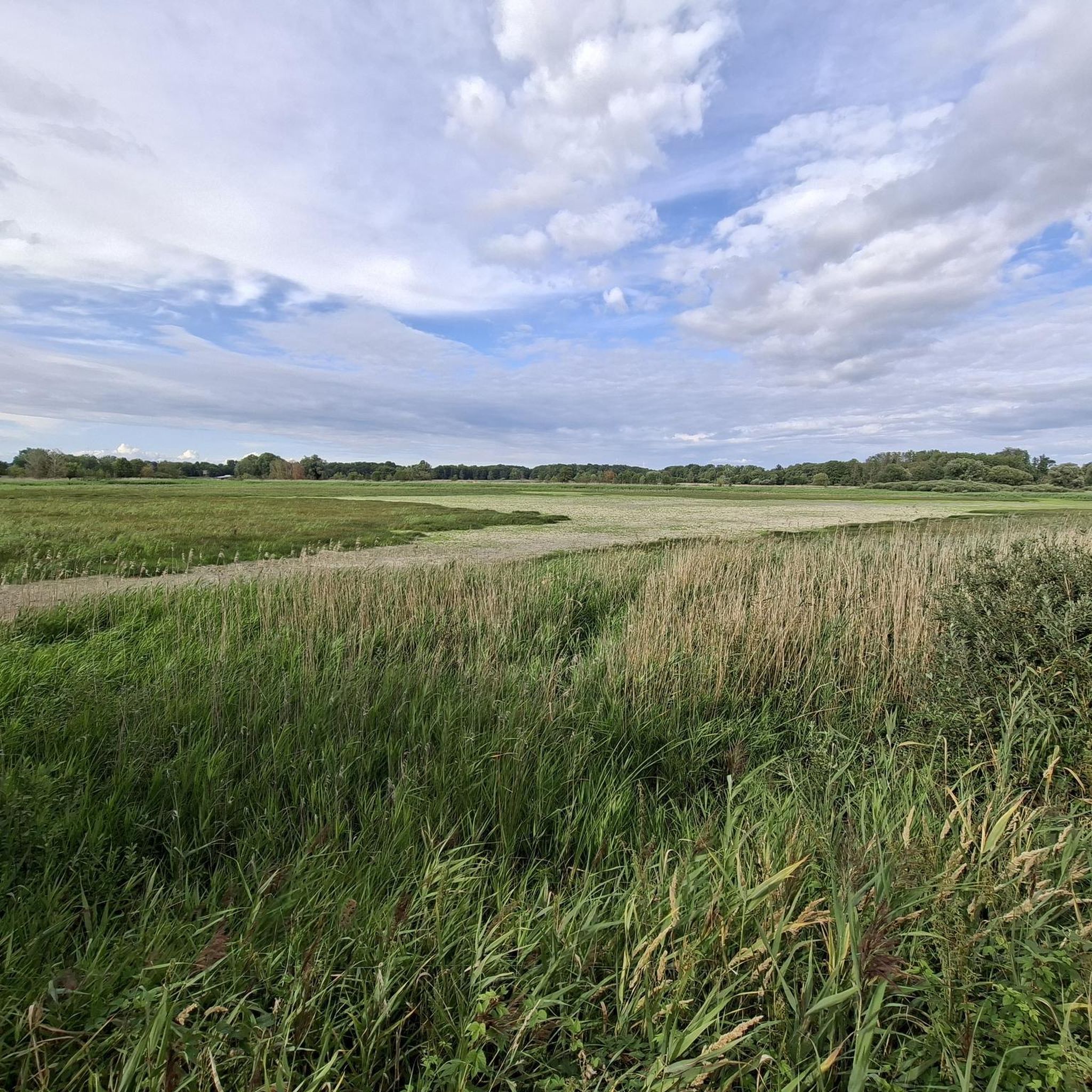
Road cycling in Gloucester County features generally flat terrain with some gentle rolling hills, making it accessible for various fitness levels. The region is characterized by diverse parklands, woodlands, open fields, and lakes, offering varied scenery for cyclists. Routes often traverse through natural areas, showcasing rivers, farmland, and wooded sections. This landscape provides a mix of dedicated bikeways within parks and loops connecting small communities.
Best road cycling routes in Gloucester County
- The most popular road cycling route is Schuylkill River Trail Loop, a 46.7 miles (75.2 km) trail that takes 3 hours 31 minutes to complete. This moderate route offers extensive views along the river.
- Another top favourite among local road cyclists is Monroe Township Bikepath loop from Glassboro, a moderate 51.7 miles (83.2 km) path. This route follows a dedicated bikepath, passing through varied local scenery.
- Local road cyclists also love the Roadbike loop from Pitman, a 36.0 miles (57.9 km) trail leading through local communities and natural areas, often completed in about 2 hours 16 minutes.
- Road cycling in Gloucester County is defined by diverse parklands, woodlands, and farmland. The network offers options for different ability levels, from easy rides to more challenging moderate routes.
- The routes in Gloucester County are highly rated by the komoot community with an average score of 4.4 stars from over 70 reviews. More than 2500 road cyclists have used komoot to explore Gloucester County's varied terrain.
Last updated: October 5, 2026
5.0
(1)
8
riders
75.2km
03:32
610m
610m
The Schuylkill River Trail Loop offers a dynamic road cycling experience, transitioning from bustling Philadelphia cityscapes to tranquil riverfronts and rural landscapes. You'll pedal past iconic landmarks like Boathouse Row and enjoy views of the Philadelphia skyline from Belmont Plateau, with sections of tree-canopied paths providing a refreshing change of scenery. While predominantly paved, be prepared for some fine gravel or crushed stone surfaces, such as those found along the Manayunk Canal.
This moderate 46.7-mile (75.2 km) route involves 2009 feet (612 metres) of elevation gain and typically takes about 3 hours and 31 minutes to complete. Numerous access points and parking options are available, making it easy to start your ride. Spring and fall are particularly pleasant times to visit, offering mild weather and beautiful foliage, though the trail is popular year-round.
The Schuylkill River Trail is a significant part of the larger Circuit Trails network and the East Coast Greenway, highlighting its importance as a regional connector. It follows the historic Schuylkill River, offering glimpses into centuries of industrial and environmental history. This blend of urban, natural, and historical elements makes it a unique and varied cycling destination.
5.0
(2)
23
riders
Moderate road ride. Good fitness required. Mostly well-paved surfaces and easy to ride.

10
riders
57.9km
02:16
120m
120m
Moderate road ride. Good fitness required. Mostly well-paved surfaces and easy to ride.
5.0
(2)
26
riders
19.3km
00:53
40m
40m
Easy road ride. Great for any fitness level. Mostly well-paved surfaces and easy to ride.
4
riders
41.3km
01:44
220m
220m
Easy road ride. Great for any fitness level. Mostly well-paved surfaces and easy to ride.
5.0
(1)
3
riders
83.2km
03:23
180m
180m
Moderate road ride. Good fitness required. Mostly well-paved surfaces and easy to ride.
5
riders
40.3km
01:38
130m
130m
Easy road ride. Great for any fitness level. Mostly well-paved surfaces and easy to ride.
7
riders
111km
05:06
1,020m
1,020m
Hard road ride. Very good fitness required. Mostly well-paved surfaces and easy to ride.
5.0
(1)
7
riders
Moderate road ride. Good fitness required. Mostly well-paved surfaces and easy to ride.
3.0
(1)
8
riders
33.0km
01:20
80m
80m
Easy road ride. Great for any fitness level. Mostly well-paved surfaces and easy to ride.
Get access to more routes and recommendations from other explorers.
Already have an account?
Our route recommendations are based on thousands of hikes, rides, and runs completed by other people on komoot.
Start today with a free account
Your next adventure awaits.
Popular around Gloucester County

Road Cycling Routes around Thorofare

Road Cycling Routes around Westville
Road Cycling Routes around National Park

Road Cycling Routes around Paulsboro

Road Cycling Routes around Woodbury

Road Cycling Routes around Woodbury Heights
Road Cycling Routes around Glassboro
Road Cycling Routes around Williamstown
Road Cycling Routes around Clayton
Road Cycling Routes around Franklinville
Tips from the Community

Great home made apple cider donuts. Note though they are closed on Mondays.
0
0
Very nice café, perfect for mid-ride coffee and snacks! (https://www.farmerand.co)
0
0

Nice and flat!!! Love that you dont have worry about cars for the most part!!!
0
0

The board walk takes you down to Wilmington and passes by several nice restaurants, some that offer outdoor eating if you want to keep eyes on your bike.
0
0
There is a nice little garden with benches, tables and shade. It works as a great destination, or a fantastic place to rest on a long ride.
0
0

Boathouse Row is a historic stretch of that sits on the Schuylkill River. It features 15 boathouses that host social and rowing clubs with their racing shells. It's a nice place to hop off your bike, take a break, and people watch.
1
0

This paved, six-mile trail connects the towns of Glassboro and Williamstown. It follows an old railbed from what used to be the Williamstown Railroad.
0
0

You get a great view of the Philly skyline from atop Belmont Plateau, which is crowned by sports fields and the Underground Railroad Museum. There are many great roads to explore in the park network here.
0
0
Frequently Asked Questions
What is the typical terrain like for road cycling in Gloucester County?
Gloucester County offers generally flat terrain with some gentle rolling hills, making it accessible for a wide range of fitness levels. You'll find routes traversing diverse parklands, woodlands, open fields, and lakes, providing varied scenery.
How many road cycling routes are available in Gloucester County?
There are over 130 road cycling routes available in Gloucester County, catering to various skill levels. Approximately 58 of these are considered easy, 63 moderate, and 10 difficult, ensuring options for everyone from beginners to experienced cyclists.
Are there road cycling routes suitable for beginners or families in Gloucester County?
Yes, Gloucester County is very accommodating for beginners and families. The generally low elevation and dedicated bikeways within parks make for easy cycling conditions. Routes like the Roadbike loop from Williamstown are rated as easy, and the county's extensive trail networks, including parts of the Williamstown–Glassboro Trail, offer safe and enjoyable rides.
What natural features can I expect to see while road cycling in Gloucester County?
Road cycling in Gloucester County will take you through diverse natural landscapes. You can expect to see woodlands, open fields, and lakes within expansive parks like Gloucester County Park and Scotland Run Park. Many routes also offer views of rivers and bays, as well as picturesque farmland.
Are there any historical landmarks or scenic viewpoints along the road cycling routes?
Yes, you can incorporate historical sites and scenic views into your rides. For instance, Red Bank Battlefield Park offers historical significance alongside views of the Delaware River. Many routes also provide scenic vistas of the region's natural beauty, including lakes like Landing Road Lake and Wilson Lake.
What do other cyclists enjoy about road cycling in Gloucester County?
The komoot community highly rates road cycling in Gloucester County, with an average score of 4.4 stars from over 70 reviews. Cyclists often praise the varied terrain, which includes dedicated bikeways and loops connecting small communities, as well as the scenic routes through natural areas, farmland, and along rivers.
Are there any dedicated bike paths or trails for road cycling in Gloucester County?
Yes, Gloucester County is part of the broader Circuit Trails network and features several dedicated paths. The Monroe Township Bikepath loop from Glassboro is a popular option that follows a dedicated bikepath. The Williamstown–Glassboro Trail also includes dedicated bike lanes and off-road sections, providing safe and enjoyable cycling experiences.
What is the best time of year for road cycling in Gloucester County?
The generally low elevation and accessible terrain make Gloucester County suitable for road cycling across multiple seasons. Spring and fall offer pleasant temperatures and vibrant scenery, while summer provides longer daylight hours. Always check local weather conditions before heading out.
Where can I find parking for road cycling routes in Gloucester County?
Many of Gloucester County's parks, which serve as starting points or pass-throughs for cycling routes, offer designated parking areas. For example, parks like Gloucester County Park and Scotland Run Park provide facilities for visitors. It's advisable to check specific park websites or route descriptions for detailed parking information.
Are there any long-distance road cycling routes in Gloucester County?
Yes, Gloucester County offers several longer routes for endurance cyclists. The Schuylkill River Trail Loop is a substantial 46.7-mile route, and the Alapocas Run and Rock Wall – Brandywine Park loop from Claymont covers over 40 miles, providing extensive rides with varied scenery.
Can I find loop routes for road cycling in Gloucester County?
Absolutely. Many road cycling routes in Gloucester County are designed as loops, allowing you to start and end at the same point. Examples include the Roadbike loop from Pitman and the Alcyon Lake – Wrights Millpond loop from Pitman, which offer convenient circular journeys through local communities and natural areas.
Are there any road cycling routes that pass through charming small towns?
Yes, Gloucester County's road cycling routes often connect small communities, allowing you to experience the local charm. The Williamstown–Glassboro Trail, for instance, passes through woodlands, farmland, and small towns. Routes like the Roadbike loop from Rowan College of South Jersey also offer a mix of natural areas and community exploration.
Most popular routes in Gloucester County

Get inspired with the komoot mobile app


Didn’t find what you were looking for?
Check out more Road cycling routes throughout Gloucester County below and find the perfect route in your destination.
Explore more
Browse the best Road cycling routes in other regions.
