The best walks and hikes around Ketelmeer
4.3
(1551)
11,060
hikers
518
hikes
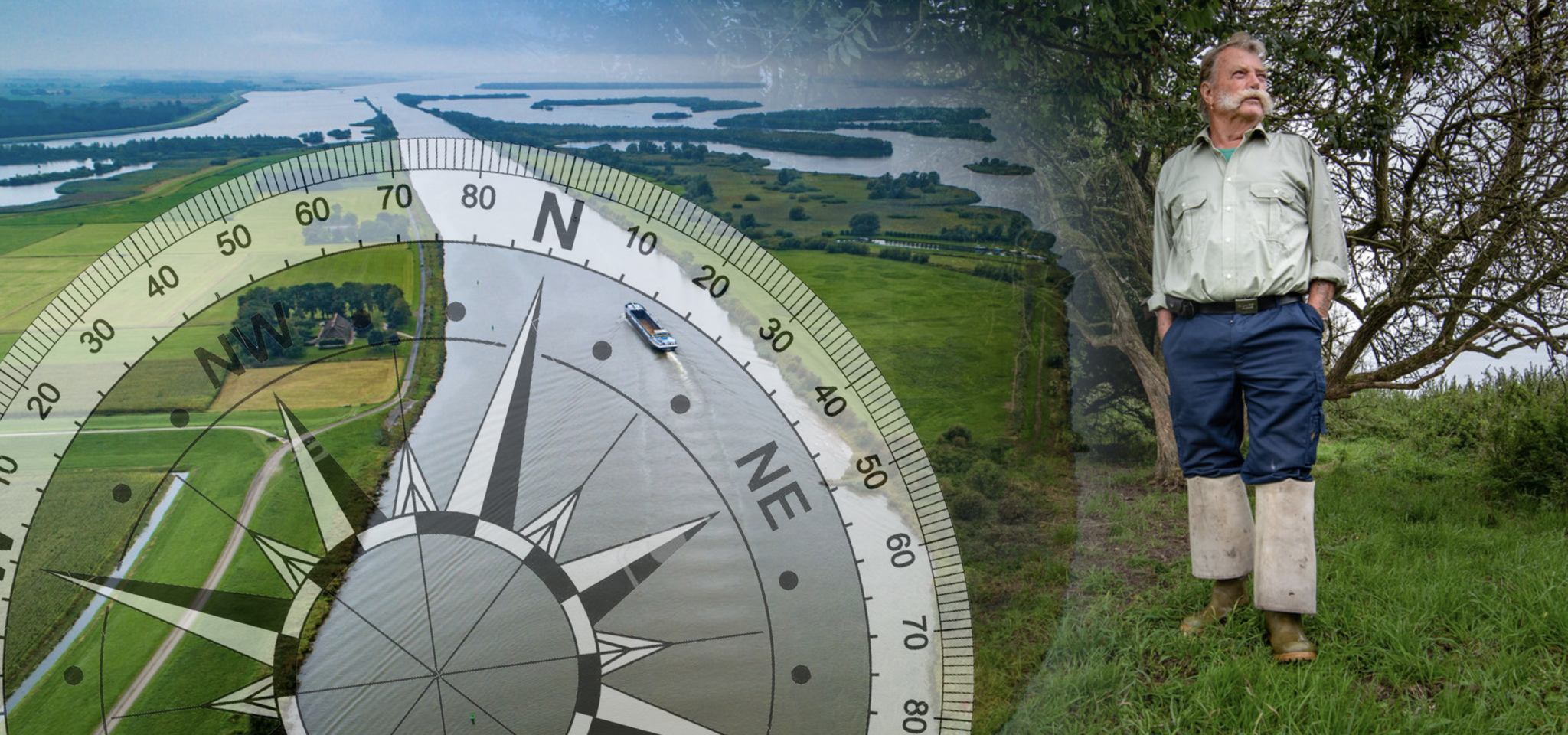
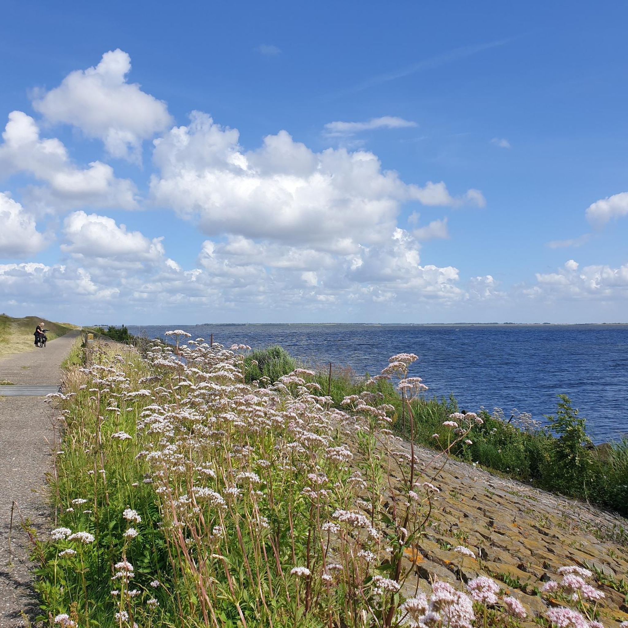
Hiking around Ketelmeer is characterized by its unique marsh delta landscape, formed by the mouth of the River IJssel. The region features shallow waters, numerous channels, and islands overgrown with willows, creating a distinct wetland environment. It is strategically located between the Noordoostpolder and Oostelijk Flevoland, connecting the River IJssel to the IJsselmeer. Hikers can encounter notable landmarks such as the Ketelmeer Bridge and the artificial island IJsseloog, which contribute to the area's diverse appeal.
Best hiking trails around Ketelmeer
- The most popular hiking route is Schokland Former Island – Schokland loop from IJsseloog, a 7.6 miles (12.2 km) trail that takes 3 hours 4 minutes to complete, offering views of the former island and the surrounding wetland.
- Another top favourite among local hikers is Schokland – Schokland Former Island loop from IJsseloog, a moderate 6.1 miles (9.9 km) path. This route provides an immersive experience through the unique marshy landscape and views of the lake.
- Local hikers also love the Roggebot Lake – Gene Bank Route Roggebotzand loop from Uiterwaarden IJssel, a 7.9 miles (12.8 km) trail leading through the marsh delta, often completed in about 3 hours 13 minutes.
- Hiking around Ketelmeer is defined by its marsh delta, shallow waters, and distinctive bridges like the Ketelmeer Bridge. The network of routes offers options for easy walks, moderate trails, and a few more challenging paths, catering to various ability levels.
- The routes in Ketelmeer are highly rated by the komoot community with an average score of 4.3 stars from over 1400 reviews. More than 10000 hikers have used komoot to explore Ketelmeer's varied terrain.
Last updated: October 7, 2026
3.8
(6)
13
hikers
Moderate hike. Good fitness required. Easily-accessible paths. Suitable for all skill levels.
6
hikers
Moderate hike. Good fitness required. Easily-accessible paths. Suitable for all skill levels.

4
hikers
4.53km
01:09
10m
10m
Easy hike. Great for any fitness level. Easily-accessible paths. Suitable for all skill levels.
982m
00:15
0m
0m
Easy hike. Great for any fitness level. Easily-accessible paths. Suitable for all skill levels.
4.7
(21)
193
hikers
5.13km
01:18
10m
10m
Easy hike. Great for any fitness level. Easily-accessible paths. Suitable for all skill levels.
Get access to more routes and recommendations from other explorers.
Already have an account?
Our route recommendations are based on thousands of hikes, rides, and runs completed by other people on komoot.
Start today with a free account
Your next adventure awaits.
Other adventures around Ketelmeer

Tips from the Community

Beautiful exhibition, very interesting to learn about the past
0
0

Park at Schokkerringweg and then follow the Komoot hike to the Gesteentetuin and around the island.
0
0

A short detour here is definitely worth it. Then follow the path to the left past the ruins for even more discoveries along the way.
0
0

Here the ring dike of the Noordoostpolder was closed in May 1940, after which the draining could begin.
0
0

The Ruïnpad runs along the entire length of Schokland with interesting sights along the way
1
0


Frequently Asked Questions
How many hiking trails are available around Ketelmeer?
Ketelmeer offers a wide variety of hiking opportunities, with over 500 routes available. These include more than 340 easy trails, around 160 moderate paths, and a few more challenging options for experienced hikers.
What kind of terrain can I expect on hikes around Ketelmeer?
The terrain around Ketelmeer is primarily characterized by its unique marsh delta landscape. You'll find shallow waters, numerous channels, and islands often overgrown with willows. Trails are generally flat with minimal elevation gain, making them accessible for various fitness levels. Expect paths that offer pleasant views of the water and surrounding natural features.
Are there any notable landmarks or attractions to see while hiking in Ketelmeer?
Yes, several interesting landmarks and natural features can be explored. You might encounter impressive structures like the Ketelmeer Bridge and the Ramspolbrug, both significant architectural features. The artificial island IJsseloog, initially built to contain contaminated sludge, is also a unique sight. The region's marshy landscape itself is a crucial habitat for various bird species, offering great opportunities for nature observation.
What do other hikers enjoy most about the trails in Ketelmeer?
The trails in Ketelmeer are highly rated by the komoot community, with an average score of 4.3 stars from over 1400 reviews. Hikers often praise the unique marsh delta scenery, the peaceful atmosphere, and the opportunities for birdwatching. The well-maintained paths and the blend of natural beauty with modern engineering marvels like the bridges are frequently highlighted.
Are there any easy, family-friendly hiking routes in Ketelmeer?
Absolutely. Ketelmeer has over 340 easy routes, many of which are suitable for families. An excellent option is the Hiking loop from IJsseloog, which is an easy 4.5 km path, perfect for a leisurely walk with children.
Can I find circular hiking routes around Ketelmeer?
Yes, many of the trails around Ketelmeer are designed as loops, offering convenient circular walks. For example, the Schokland Former Island – Schokland loop from IJsseloog is a popular 12.2 km circular route that provides views of the former island and the surrounding wetland.
What is the best time of year to go hiking in Ketelmeer?
Ketelmeer can be enjoyed throughout much of the year. Spring and autumn offer pleasant temperatures and beautiful natural colors, making them ideal for birdwatching as migratory birds pass through. Summer provides longer daylight hours for extended walks, while winter can offer a unique, serene landscape, though some paths might be wet. Always check local weather conditions before heading out.
Are there dog-friendly hiking trails in Ketelmeer?
Many trails in the Ketelmeer area are suitable for dogs, but it's always recommended to keep them on a leash, especially in nature reserve areas, to protect local wildlife, particularly nesting birds. Specific rules may vary by location, so look for local signage.
Is parking available near the hiking trails in Ketelmeer?
Yes, parking is generally available at common starting points for trails, particularly near popular attractions like Schokland or the IJsseloog. Specific parking information can often be found on individual route descriptions or local tourism websites.
How can I reach the hiking trails in Ketelmeer using public transport?
While some areas around Ketelmeer are accessible by public transport, direct access to trailheads might be limited. Major towns like Kampen or Dronten, which are close to Ketelmeer, have bus connections. From there, you might need to walk or cycle to reach specific starting points. Planning your route in advance using public transport planners is advisable.
Are there any longer, more challenging hikes in the Ketelmeer region?
While Ketelmeer is known for its generally flat and accessible terrain, there are a few longer routes that offer a more extended experience. For instance, the IJsselmeer Dike – Ketelbrug loop from Ketelbrug is a moderate 15.7 km trail that provides a longer journey along the dike with views of the IJsselmeer and the Ketelbrug.
What kind of wildlife can I expect to see while hiking around Ketelmeer?
The marsh delta environment of Ketelmeer is a vital habitat for various bird species. Birdwatchers can often spot ducks, waders, and even larger raptors like the sea eagle and osprey. The unique wetland ecosystem supports a diverse range of flora and fauna, making it an interesting area for nature observation.
Most popular routes around Ketelmeer
Most popular attractions around Ketelmeer

Get inspired with the komoot mobile app


Explore more
Browse the best Hikes in other regions.
