The best cycling routes in Kent County
4.6
(91)
916
riders
77
rides
Touring cycling routes in Kent County, Michigan, traverse a landscape characterized by a network of dedicated multi-use trails, urban paths, and routes connecting various parks and natural areas. The terrain is generally flat to gently rolling, with many routes following former rail lines or river corridors. This allows for accessible cycling experiences across different distances and difficulty levels.
Best touring cycling routes in Kent County
- The most popular touring cycling route is Fred Meijer White Pine Trail, a 111.6 miles (179.6 km) trail that takes 10 hours 21 minutes to complete. This route is known for its long-distance path through varied natural and rural settings.
- Another top favourite among local touring cyclists is Fred Meijer White Pine Trail State Park, a moderate 34.8 miles (56.0 km) path. This trail offers a mix of paved surfaces and natural scenery, suitable for a day trip.
- Local touring cyclists also love the Dutton to Kenwood via Paul Henry - Thornapple Trail loop, a 13.0 miles (21.0 km) trail leading through parklands and suburban areas, often completed in about 1 hour 12 minutes.
- Touring cycling in Kent County is defined by its extensive rail-trails, urban greenways, and connections through parklands. The network offers options for different ability levels, from easy, flat rides to longer, more challenging routes.
- The routes in Kent County are highly rated by the komoot community with an average score of 4.8 stars from over 60 reviews. More than 700 touring cyclists have used komoot to explore Kent County's varied terrain.
Last updated: September 28, 2026
1
riders
180km
10:22
550m
410m
Embark on a challenging touring bicycle adventure along the Fred Meijer White Pine Trail, a difficult route spanning 111.6 miles (179.6 km). You will experience a varied landscape, cycling through rural farmlands and peaceful forests, with notable sections featuring impressive white pine trees. The trail offers smooth riding on its entirely paved surface, guiding you past scenic views of rivers like the Rogue River and the Muskegon River. Expect to gain 1803 feet (549 metres) in elevation, with an estimated duration of 10 hours and 21 minutes to complete the entire journey. As you cycle, keep an eye out for historic railroad trestles, such as the one crossing the Rogue River near Rockford, which adds a unique visual element to your ride.
Planning your trip on the Fred Meijer White Pine Trail is straightforward, as the route is well-maintained and accessible. You will find numerous towns along the way, including Rockford, Howard City, and Big Rapids, which provide essential amenities like food, lodging, and even bike repair services. Parking and trailheads are conveniently located in various communities along the trail's extensive length, making it easy to start your ride from multiple points. Consider breaking the long distance into segments if you prefer shorter daily rides, utilizing the amenities in these towns for overnight stays.
The Fred Meijer White Pine Trail stands out as a significant long-distance cycling route in Michigan, offering an extended adventure for those who enjoy multi-day tours. Its path follows a historic railroad corridor, giving you a glimpse into the region's past with every mile. The presence of impressive white pine trees along certain sections highlights the natural beauty and ecological heritage of the area. This trail is an excellent choice if you are seeking a sustained touring experience that combines natural scenery with practical support along the way.
4.6
(7)
58
riders
56.0km
03:11
170m
170m
Embark on a moderate touring bicycle adventure along the Fred Meijer White Pine Trail State Park, a 34.8 miles (56.0 km) route that takes about 3 hours and 11 minutes to complete. You will experience a gentle ride with only 564 feet (172 metres) of elevation gain, following a former railroad path. As you cycle, the scenery shifts from open farmlands to tranquil forests, where you can spot impressive white pine trees. Look for the Historic Stone Arch Bridge at Trestle Park, a key landmark along the way, and enjoy views of the Rogue River as you pass through various charming towns.
The trail is open throughout the year, offering flexibility for your touring bicycle plans. Be aware that during winter, some sections are used by snowmobiles, which might impact cycling conditions. You will find parking generally available at various trailheads along the route. Additionally, the towns connected by the trail provide plenty of amenities like dining options and grocery stores for your convenience.
This rail-trail is notable for its smooth, consistent surface, making it accessible and enjoyable for a wide range of users. The route's design, following a former railroad, ensures gentle grades throughout your journey. It offers a unique opportunity to explore Michigan's diverse landscapes, from agricultural areas to peaceful woodlands, all while tracing a piece of local history.

7
riders
133km
07:45
290m
290m
Embark on the Musketawa and Lakeshore Trail Loop, a difficult touring cycling adventure spanning 82.7 miles (133.1 km) with an elevation gain of 954 feet (291 metres). This route offers a diverse experience, taking you through Michigan's rural landscapes of orchards, farmlands, and shaded forests, highlighted by the impressive 216-foot Crockery Creek trestle. Later, you'll transition to stunning views of Lake Michigan and Muskegon Lake, riding past sand dunes and the urban scenery of Muskegon, including Pere Marquette Park. Expect to spend around 7 hours and 45 minutes completing this challenging loop.
When planning your ride, be aware that while the Musketawa Trail is open year-round, some sections might have older, cracked pavement or horse manure. The route also incorporates designated on-road bike lanes for smaller segments along the Lakeshore Trail. You will generally find parking available at various access points along both trails, making it convenient to start your journey.
This loop uniquely combines the tranquil, natural beauty of inland Michigan with the vibrant, scenic shores of Lake Michigan. You'll experience a fascinating contrast between the quiet, agricultural areas and the dynamic lakeside environment, offering wildlife observation opportunities in one section and urban landmarks like the South Pier Light Station in another. It's a journey that showcases the varied landscapes of the region.
4.0
(4)
4
riders
21.0km
01:12
70m
70m
Cycle an easy 13.0-mile loop from Dutton to Kenwood, exploring diverse landscapes and the Paul Henry-Thornapple Trail near Grand Rapids.
42.7km
02:33
240m
240m
Discover East Grand Rapids sites on this 26.6-mile moderate touring cycling route, featuring urban charm, local landmarks, and views of Reed
17.8km
01:03
70m
70m
Cycle an easy 11.0-mile route from Downtown Grand Rapids to Millennium Park Lake, enjoying diverse scenery and riverside views.
4.4
(7)
58
riders
37.2km
02:08
110m
110m
Moderate bike ride. Good fitness required. Mostly paved surfaces. Suitable for all skill levels.
4.3
(6)
55
riders
42.9km
02:28
140m
140m
Moderate bike ride. Good fitness required. Mostly paved surfaces. Suitable for all skill levels.
4.9
(8)
63
riders
28.8km
01:41
80m
80m
Easy bike ride. Great for any fitness level. Mostly paved surfaces. Suitable for all skill levels.
3.0
(2)
36
riders
19.5km
01:13
90m
90m
Easy bike ride. Great for any fitness level. Mostly paved surfaces. Suitable for all skill levels.
Get access to more routes and recommendations from other explorers.
Already have an account?
Our route recommendations are based on thousands of hikes, rides, and runs completed by other people on komoot.
Start today with a free account
Your next adventure awaits.

Tips from the Community

The Muskegon River was an important transportation route for the timber industry, as evidenced by the submerged logs that still remain today. The name Muskegon derives from an Algonquian word meaning "swampy river." Today, the Muskegon River is a popular destination for outdoor activities. It is nationally recognized as one of the best fishing spots and is also used for kayaking and canoeing.
6
0

bike shop, parking, bathrooms, picnic shelter and water at Trailhead
0
0

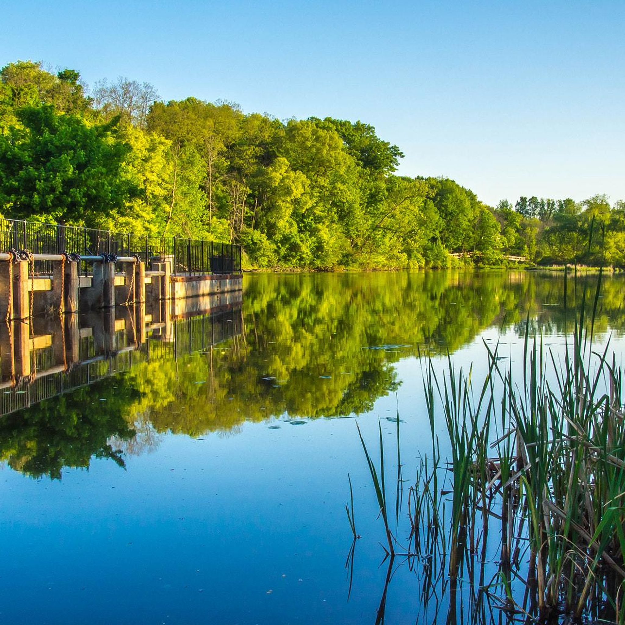
The Rockford Dam is a good rest stop with picnic tables, restrooms, and nearby food options. It’s right on the trail and easy to access.
0
0

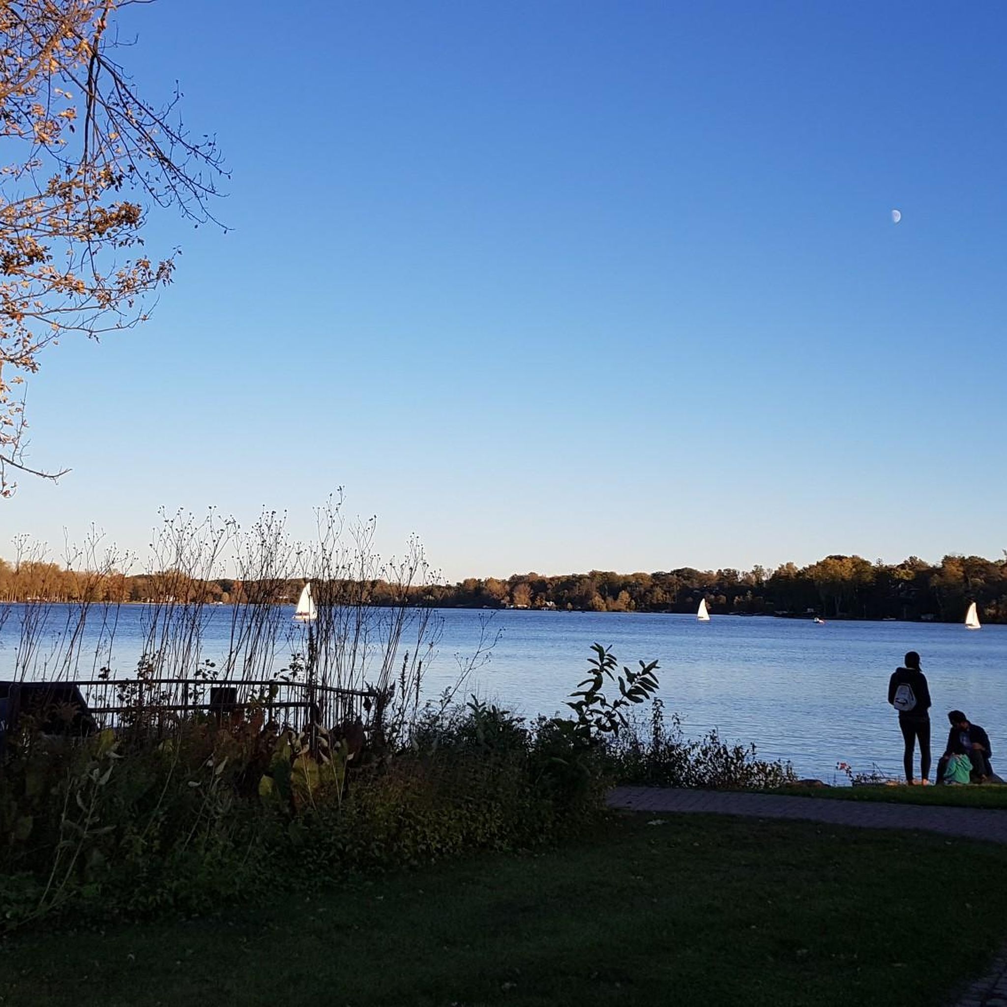
Waterfront Park is a small urban park along Reeds Lake. It has trails with boardwalks, fishing decks, and picnic areas.
0
0


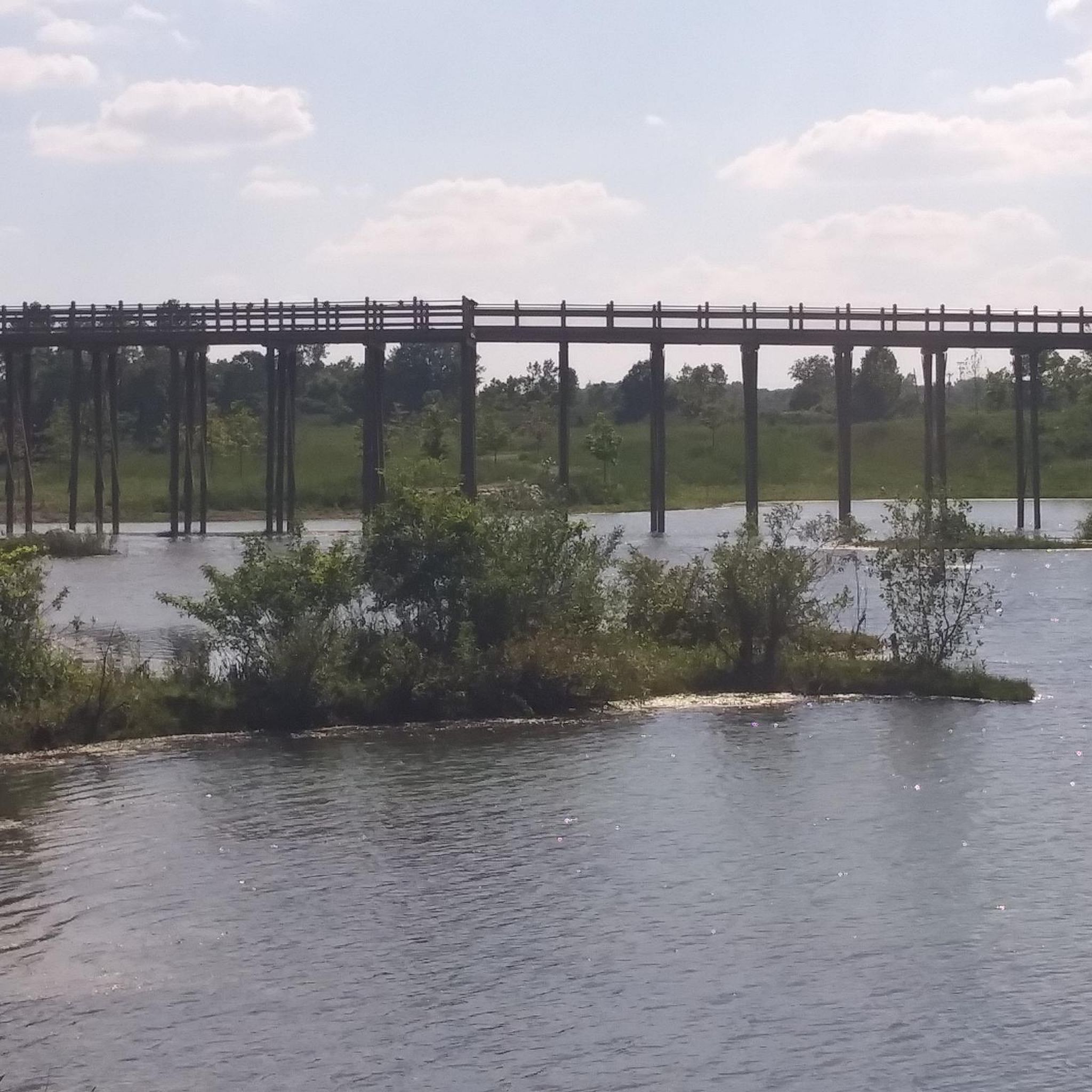
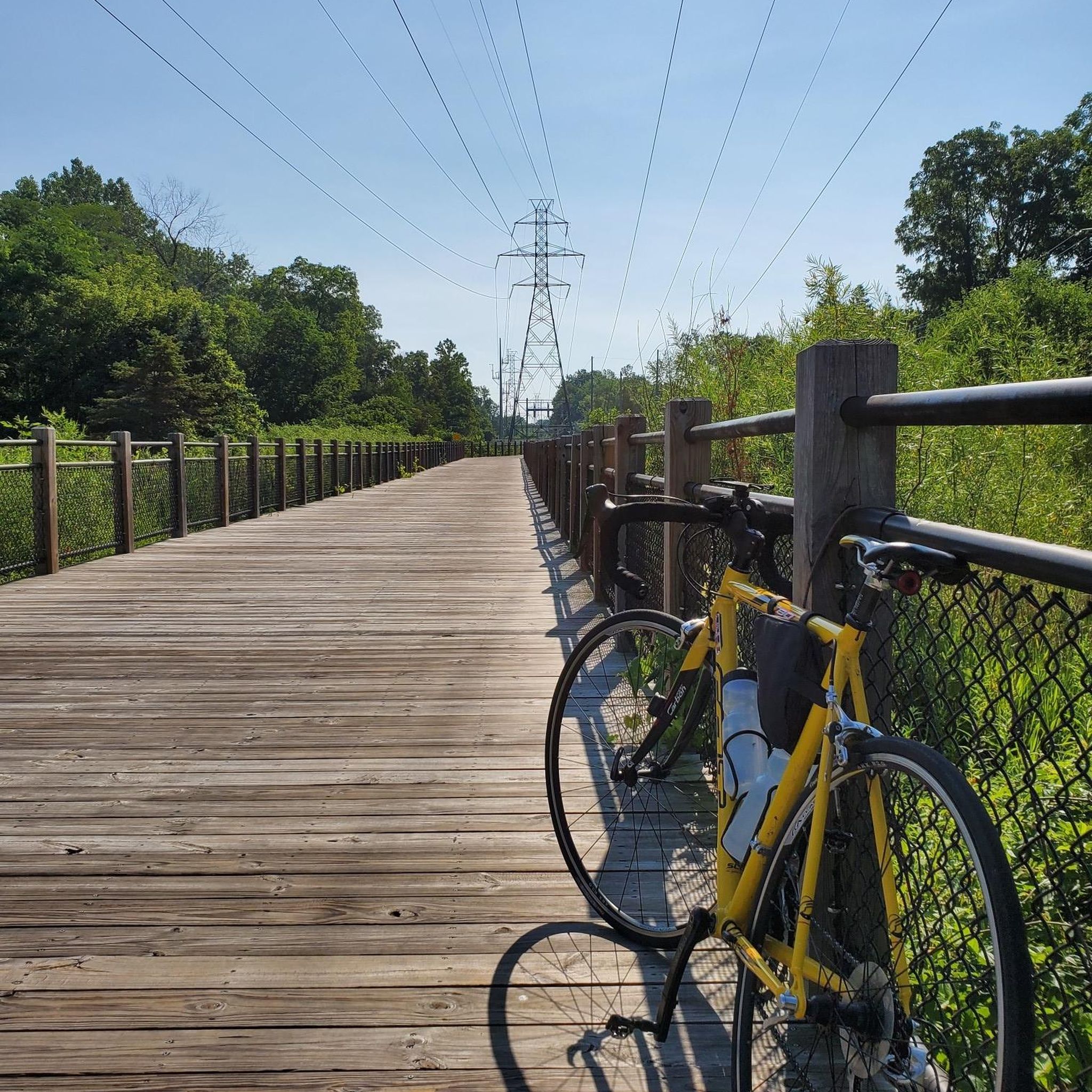
The Paul Henry–Thornapple Rail Trail is a 42-mile multi-use path in Michigan, following the old Grand River Valley Railroad route. Named after U.S. Representative Paul B. Henry, the trail offers scenic views of the Thornapple River and surrounding landscapes. Key sections are paved, with ongoing efforts to connect gaps. Trailheads like Bowen Station Park and Caledonia Lakeside Park provide amenities like parking, restrooms, and water. This trail blends recreation with historical preservation, attracting cyclists, hikers, and nature lovers.
0
0
The Ethel B. Coe mural in Grand Rapids celebrates the life and legacy of a trailblazing community leader and educator. With its vivid colors and thoughtful design, the artwork honors her impact on civil rights and education. Located near the historic Grand Rapids African American Museum and Archives, it’s a powerful visual tribute to local history and resilience. Stop by to appreciate a mural that carries deep meaning and tells a story of strength and progress.
0
0
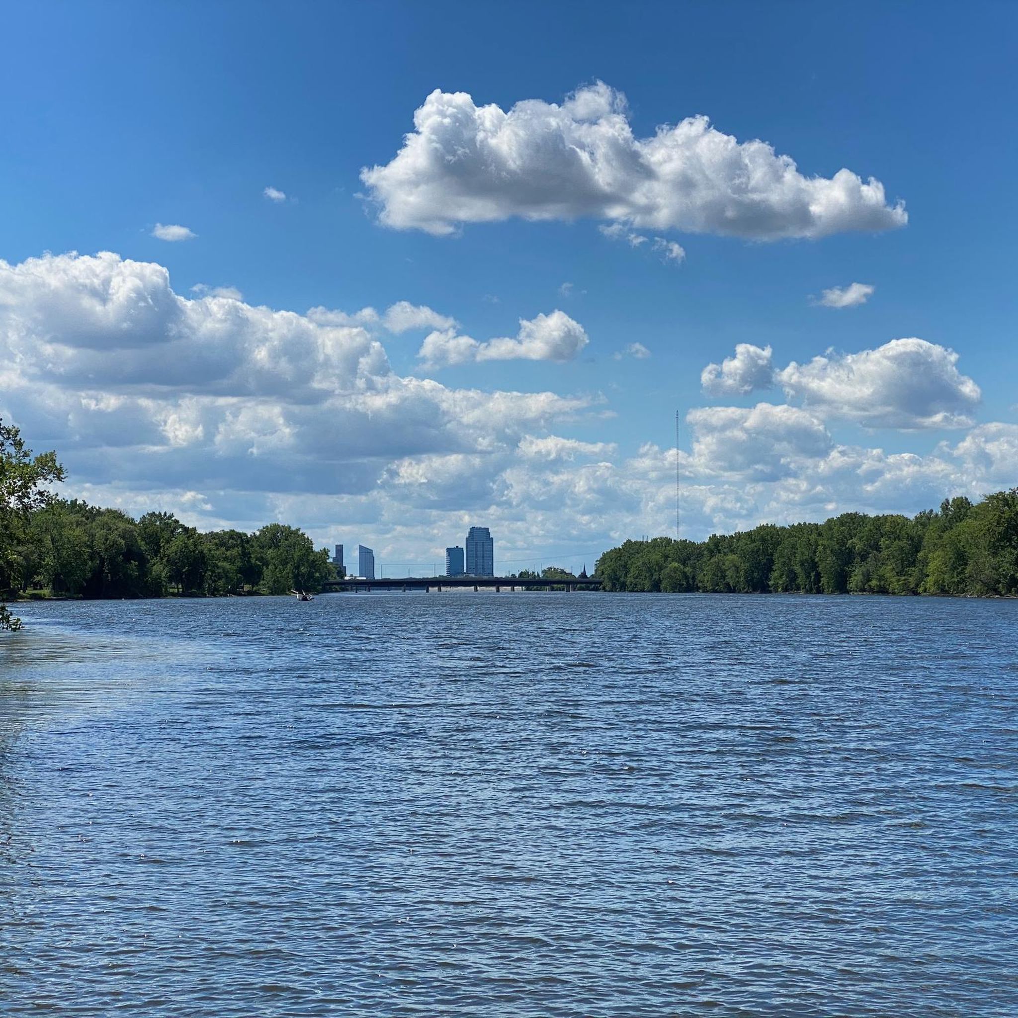
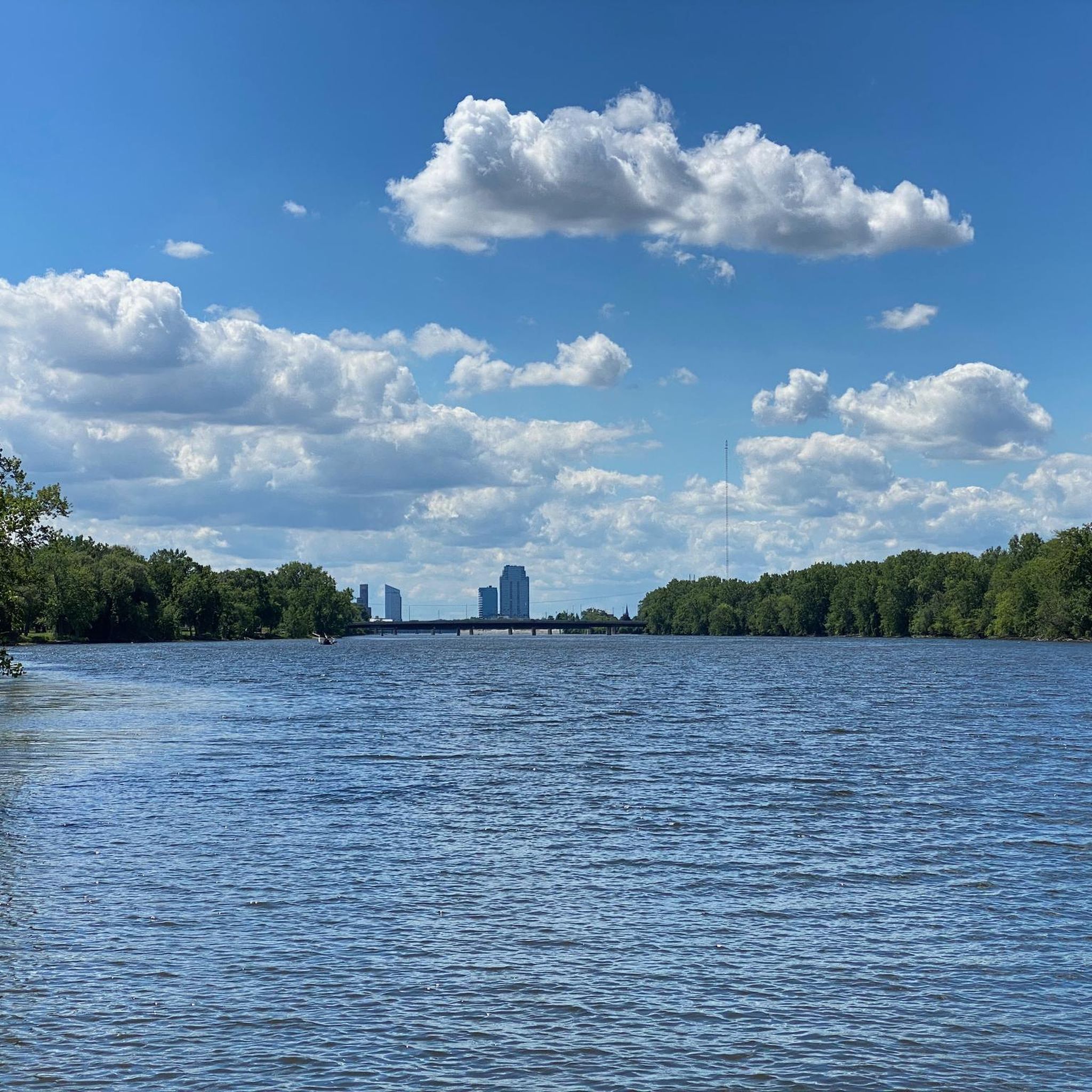
Nice view of Grand Rapids from Riverside Park Drive. The path is popular with cyclists, so if you want to take a break from your walk to enjoy the view, make sure you are aware of the other trail users.
1
0
Frequently Asked Questions
What kind of terrain can I expect on touring cycling routes in Kent County?
Touring cycling routes in Kent County, Michigan, primarily feature a network of dedicated multi-use trails and urban paths. The terrain is generally flat to gently rolling, with many routes following former rail lines or river corridors, making for accessible cycling experiences.
How many touring cycling routes are available in Kent County?
There are over 70 touring cycling routes documented in Kent County on komoot, offering a wide range of options for different distances and difficulty levels.
Are there routes suitable for beginners or those looking for an easy ride?
Yes, Kent County offers many easy routes. Approximately 49 of the available routes are classified as easy, such as the Dutton to Kenwood via Paul Henry - Thornapple Trail loop, which is about 13 miles long and leads through parklands and suburban areas.
What do other touring cyclists enjoy most about cycling in Kent County?
The area is highly rated by the komoot community, with an average score of 4.8 stars from over 60 reviews. Reviewers often praise the extensive rail-trails, urban greenways, and the variety of routes that connect through parklands, suitable for different ability levels.
Are there any long-distance touring cycling routes in Kent County?
For those seeking longer rides, the Fred Meijer White Pine Trail is a significant option, stretching over 111 miles (179 km) and known for its path through varied natural and rural settings.
Can I find circular touring cycling routes in Kent County?
Yes, there are several circular routes available. An example is the Millennium Park – Millennium Park loop from Grand Rapids, which is an easy 17-mile ride.
What kind of scenic views can I expect while cycling in Kent County?
Cyclists can enjoy diverse scenery, including views along river corridors, through scenic parks, and past natural areas. Many routes offer opportunities for wildlife spotting and experiencing the local landscape.
Are there any notable landmarks or attractions along the cycling routes?
Yes, several routes pass by or near interesting landmarks. You might encounter highlights like the Rockford Dam, the Blue Bridge in Grand Rapids, or the expansive Millennium Park.
Are there any routes that connect urban areas with natural settings?
Many routes in Kent County seamlessly connect urban centers with natural environments. For instance, the Downtown Grand Rapids to Millennium Park Lake route offers a pleasant ride from the city to a significant park area.
What are some moderate difficulty touring cycling routes in Kent County?
For a moderate challenge, you could try the Fred Meijer White Pine Trail State Park route, which is about 35 miles long and offers a mix of paved surfaces and natural scenery suitable for a day trip.
Are there any routes that explore East Grand Rapids?
Yes, the Urban Ride - Discover East Grand Rapids sites is a moderate 26.5-mile route designed to explore various points of interest within East Grand Rapids.
Can I find routes that incorporate parts of the White Pine Trail?
Absolutely. Many routes utilize sections of the popular White Pine Trail. For example, the Sixth Street Bridge – White Pine Trail loop from Grand Rapids is a moderate 26.6-mile route that integrates this well-known trail.
Most popular routes in Kent County
Most popular attractions in Kent County

Get inspired with the komoot mobile app


Didn’t find what you were looking for?
Check out more Cycling routes throughout Kent County below and find the perfect route in your destination.
Explore more
Browse the best Cycling routes in other regions.
