The best cycling routes around Vlietland
4.4
(4061)
43,573
riders
893
rides
Touring cycling around Vlietland offers a diverse landscape shaped by interconnected lakes, waterways, and green spaces. The area features extensive cycle paths through forests, meadows, and along the water's edge. This region, often referred to as the "Riviera of the Randstad," provides a predominantly flat terrain ideal for accessible cycling. Its well-maintained infrastructure connects to broader networks, allowing for rides through natural and cultural environments.
Best touring cycling routes around Vlietland
- The most popular touring cycling route is De Horsten Royal Estate – View of Old Voorschoten loop from Voorschoten, a 6.5 miles (10.4 km) trail that takes 40 minutes to complete, passing royal estates and offering views of historic towns.
- Another top favourite among local touring cyclists is View of the Rodenburgermolen – Vliet Drawbridge loop from Vlietwijk, an easy 6.9 miles (11.2 km) path featuring views of windmills and waterways.
- Local touring cyclists also love the Steenschuur Canal – Leiden Town Hall loop from Krimwijk, a 5.8 miles (9.3 km) trail leading through canals and historic city centers, often completed in about 35 minutes.
- Touring cycling around Vlietland is defined by its waterways, forests, and park-like landscapes. The network offers options for easy, moderate, and difficult routes, catering to various ability levels.
- The routes in Vlietland are highly rated by the komoot community with an average score of 4.5 stars from more than 2,900 reviews. More than 34,000 touring cyclists have used komoot to explore Vlietland's varied terrain.
Last updated: July 10, 2026
5.0
(2)
90
riders
Easy bike ride. Great for any fitness level. Mostly paved surfaces. Suitable for all skill levels.
4.7
(3)
30
riders
Easy bike ride. Great for any fitness level. Mostly paved surfaces. Suitable for all skill levels.

Sign up for free
39
riders
Easy bike ride. Great for any fitness level. Mostly paved surfaces. Suitable for all skill levels.
2.5
(2)
84
riders
10.4km
00:40
10m
10m
Easy bike ride. Great for any fitness level. Mostly paved surfaces. Suitable for all skill levels.
4.4
(8)
58
riders
Easy bike ride. Great for any fitness level. Mostly paved surfaces. Suitable for all skill levels.
Get access to more routes and recommendations from other explorers.
Sign up for free
Already have an account?
Our route recommendations are based on thousands of hikes, rides, and runs completed by other people on komoot.
Start today with a free account
Your next adventure awaits.
Login or Signup
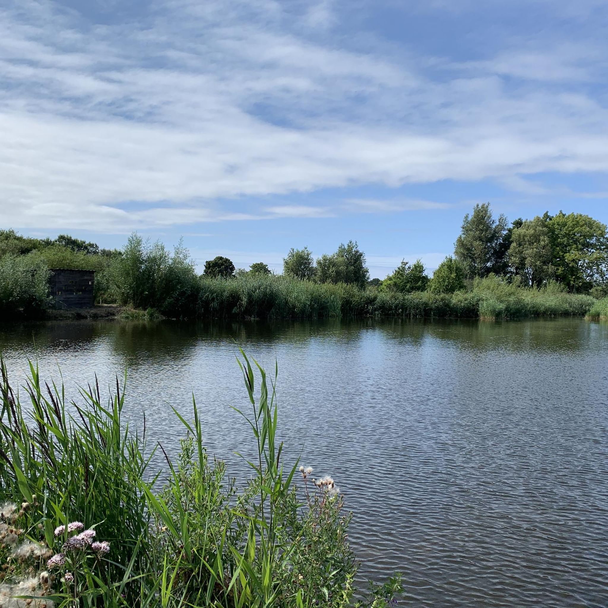
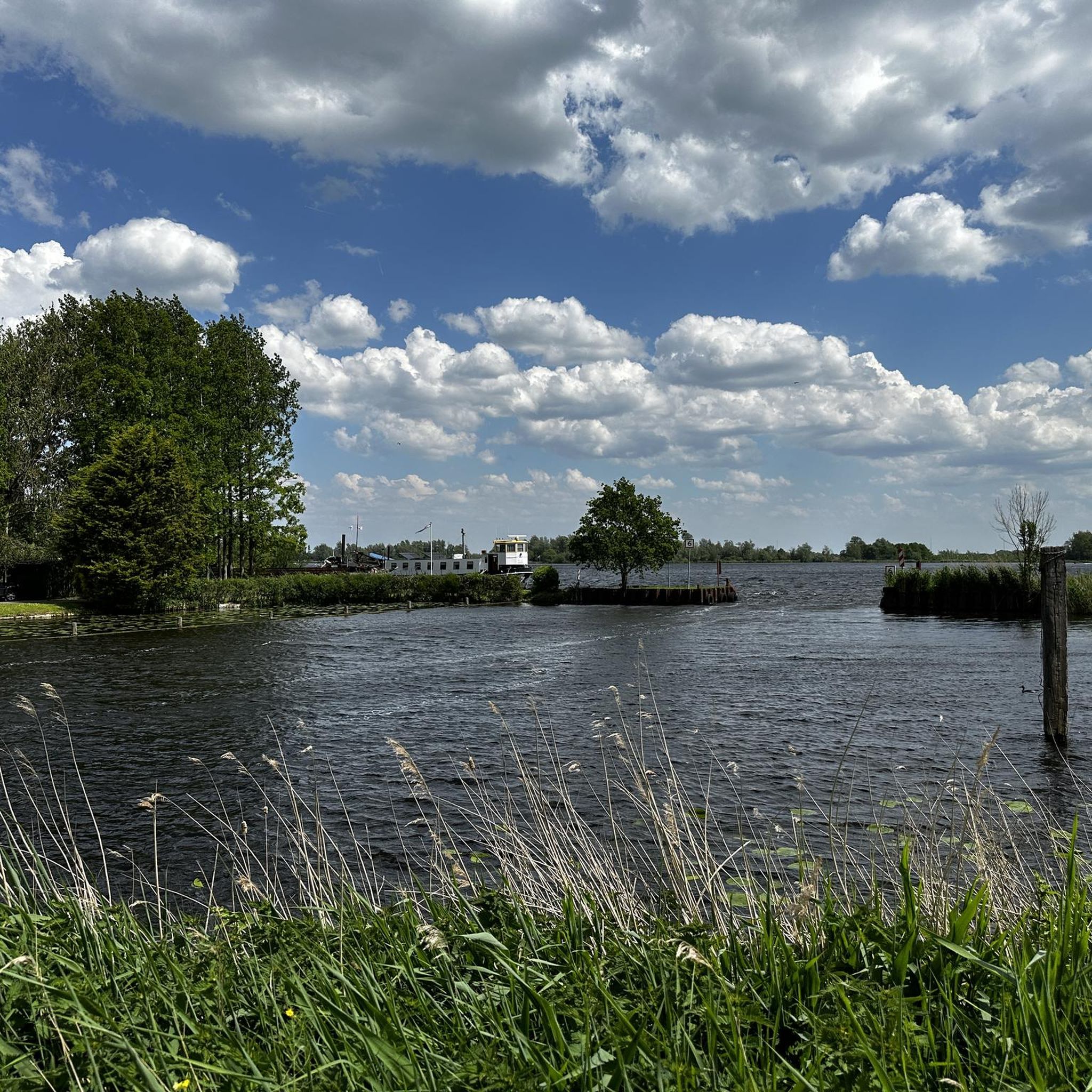
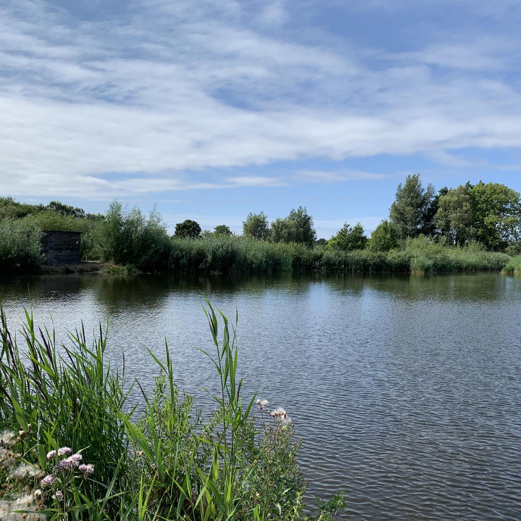
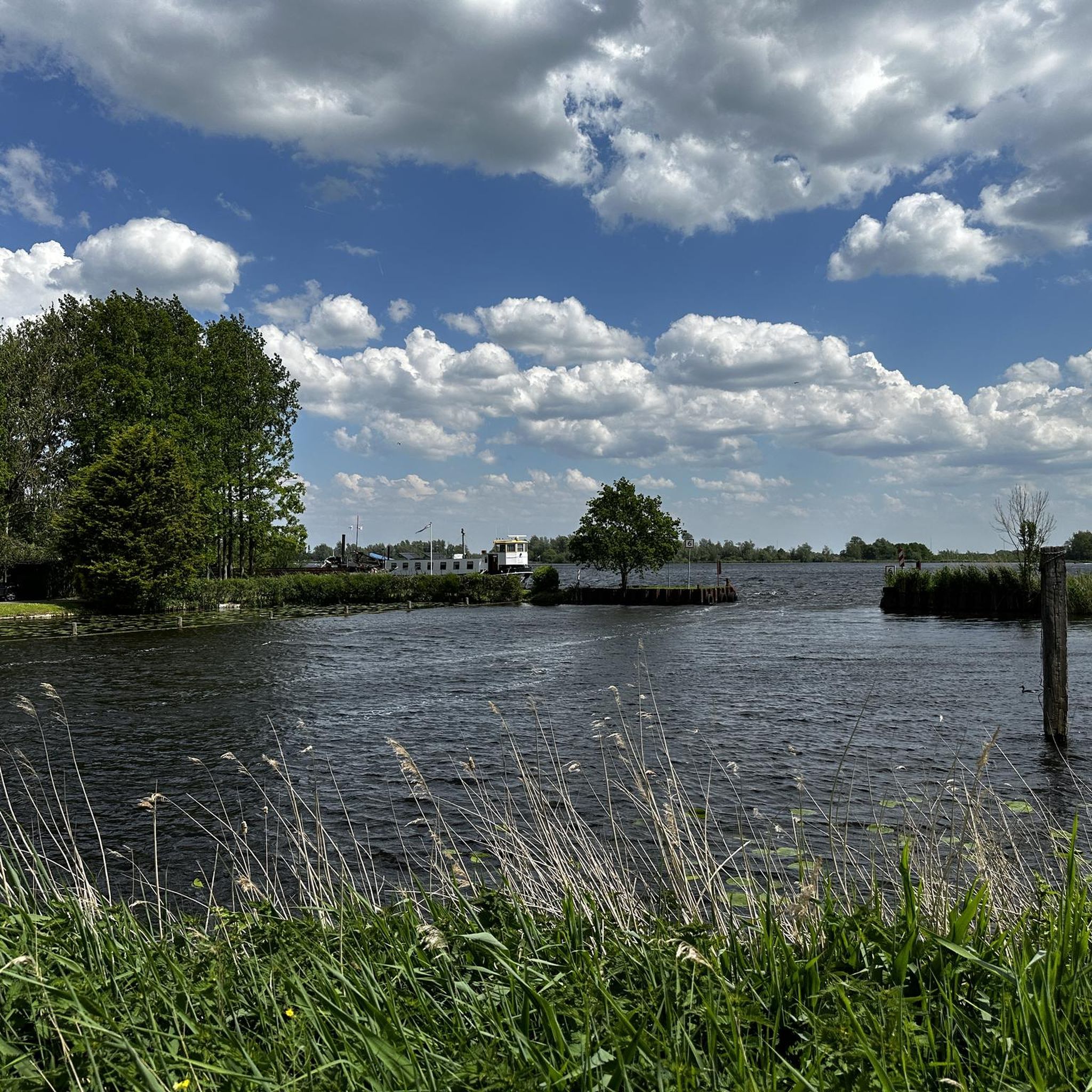
Tips from the Community

It's one of the largest estates in South Holland: De Horsten Estate. It's actually a merger of the three estates Raaphorst, Eikenhorst, and Ter Horst. De Horsten was founded in the mid-19th century and came into the hands of the Royal Family at the beginning of the 20th century when Wilhelmina purchased the estate. The original houses no longer exist, but several (out)buildings remain, including the former hunting lodge. You can now enjoy a cup of coffee or tea there. Most of De Horsten Estate is now open to walkers.
2
0


Kanal is nice to make a roundtrip!
0
0
Frequently Asked Questions
How many touring cycling routes are available in Vlietland?
Vlietland offers a wide selection of touring cycling routes, with over 780 routes available on komoot. The majority, around 520, are considered easy, making the area very accessible for various skill levels. There are also 234 moderate and 28 difficult routes for those seeking more of a challenge.
What kind of landscapes can I expect to see while cycling in Vlietland?
Vlietland, often called the 'Riviera of the Randstad,' features a diverse landscape shaped by interconnected lakes and waterways. You'll cycle through forests, wooded islands, and park-like meadows. The area also includes unique natural habitats like swamps with reeds and cattail, and the Pedestrian Bridge Over Bakkersloot is known for birdwatching opportunities.
Are there any family-friendly cycling options in Vlietland?
Yes, Vlietland is ideal for family cycling due to its predominantly flat terrain and extensive network of smooth, well-maintained asphalt paths. Many routes are easy, such as the View of the Rodenburgermolen – Vliet Drawbridge loop from Vlietwijk, which offers scenic views of windmills and waterways without significant elevation changes. The recreational facilities like the aqua park and campsite also make it a great destination for families.
What are some notable landmarks or attractions I can see along the cycling routes?
Beyond the natural beauty, you can encounter several interesting points. The De Horsten Royal Estate – View of Old Voorschoten loop from Voorschoten passes royal estates and offers views of historic towns. You might also spot the Vlietland Drawbridge and various windmills. The area's connectivity allows for rides into historic cities like Leiden, which you can explore on routes like the Steenschuur Canal – Leiden Town Hall loop from Krimwijk.
Are there circular cycling routes available in Vlietland?
Yes, many of the touring cycling routes in Vlietland are designed as loops, allowing you to start and end at the same point. Examples include the Vlietland Drawbridge – Vliet Riverside Path loop from Voorschoten, which offers a pleasant ride along the water, and the Katwijk–Leiden Steam Train loop from Voorschoten, which provides a longer circular experience.
What do other touring cyclists enjoy most about Vlietland?
The area is highly rated by the komoot community, with an average score of 4.5 stars from nearly 3,000 reviews. Cyclists often praise the well-maintained paths, the serene water-rich landscapes, and the ease of connecting to nearby historic towns and natural areas. The flat terrain is frequently mentioned as a highlight, making it enjoyable for all skill levels.
Can I access Vlietland by public transport with my bike?
Vlietland is well-integrated into the regional transport network. While specific public transport options for bikes can vary, the area's excellent connectivity to cities like Leiden, Voorschoten, and The Hague suggests that public transport links are available. It's advisable to check local public transport provider websites for current rules regarding bikes on trains or buses.
Are there places to eat or get refreshments along the cycling routes?
Yes, Vlietland offers several options for refreshments. Within the recreational area, you'll find restaurants, and the general region has cafes and pubs. The Waterfront is one such highlight where you can stop for a meal or a drink.
Is Vlietland suitable for birdwatching while cycling?
Absolutely. Vlietland is home to diverse birdlife, particularly around the Starrevaart Bird Pond located west of the main area. The Pedestrian Bridge Over Bakkersloot is specifically noted as a good spot for birdwatching, potentially offering glimpses of birds of prey. Cycling through the varied landscapes provides ample opportunities to observe local wildlife.
What is the best season for touring cycling in Vlietland?
Vlietland's well-maintained paths and diverse scenery make it enjoyable for touring cycling throughout much of the year. However, the warmer months, from spring to early autumn, are particularly pleasant as they allow for full enjoyment of the water sports and outdoor recreational facilities. The lush greenery and active birdlife are also at their peak during these seasons.
Are there any specific rules or considerations for cycling with dogs in Vlietland?
While Vlietland is a recreational area, specific rules regarding dogs on cycling paths can vary. Generally, in the Netherlands, dogs are often allowed on leash in public areas. It's always best to check local signage or the Vlietland recreational area's official website for the most up-to-date regulations concerning dogs, especially in nature reserves or protected bird areas like the Starrevaart Bird Pond.
Where can I find parking if I drive to Vlietland for cycling?
Vlietland is designed as an accessible recreational area, and parking facilities are available for visitors. While specific parking locations aren't detailed in the route information, the presence of a campsite and various recreational facilities implies designated parking areas. Look for official parking signs upon arrival at the Vlietland recreational area.
Most popular routes around Vlietland
Most popular attractions around Vlietland

Get inspired with the komoot mobile app


Explore more
Browse the best Cycling routes in other regions.
