The best walks and hikes in Elko County
5.0
(4)
90
hikers
19
hikes
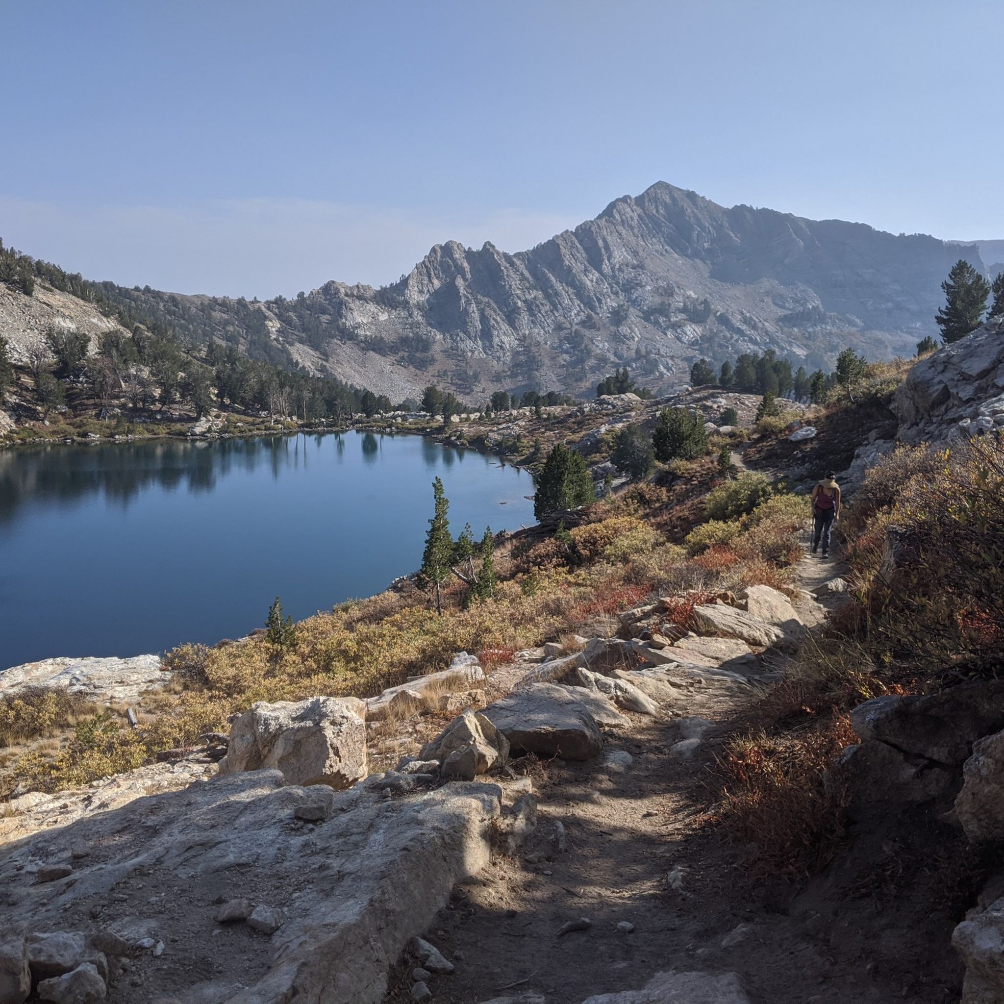
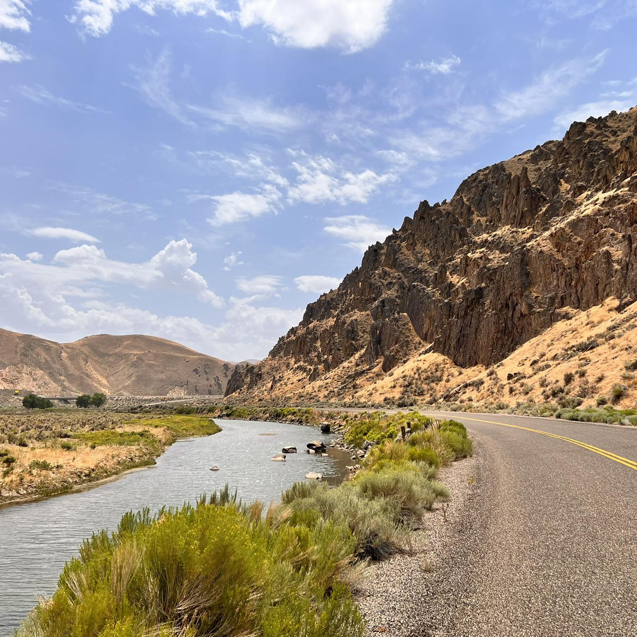
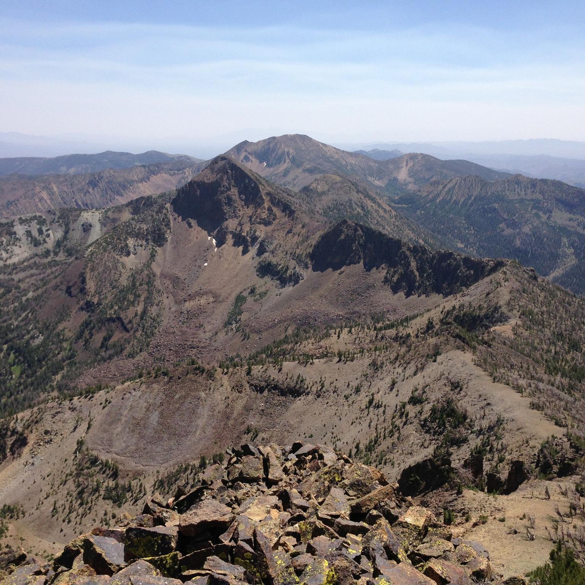
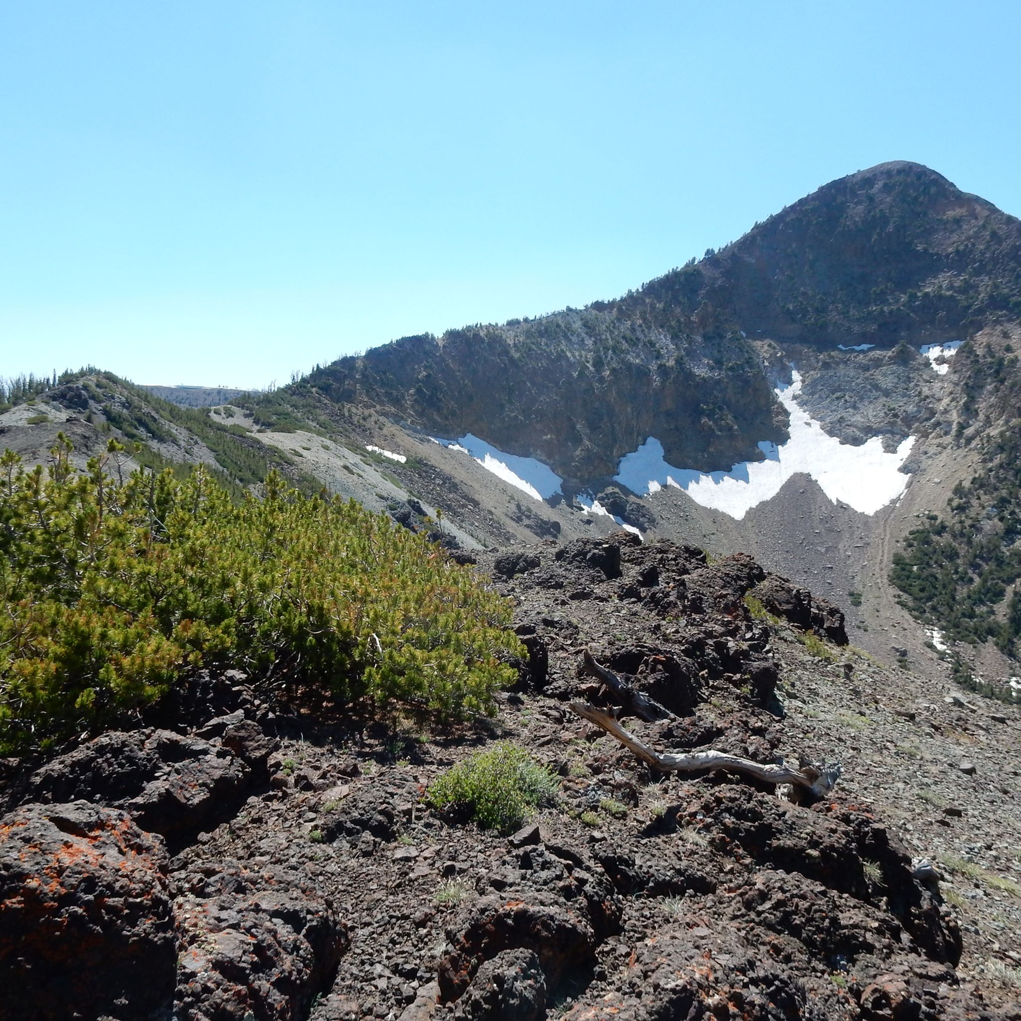
Hiking in Elko County offers access to the high-elevation terrain of northeastern Nevada. The region is characterized by the glacially carved Lamoille Canyon in the Ruby Mountains and the more remote Jarbidge Wilderness Area. Trails lead to alpine lakes, through aspen groves, and along mountain ridges, providing a range of hiking experiences.
Best hiking trails in Elko County
- The most popular hiking route is Lamoille Lake Loop — Ruby Mountains, a 3.9 mile (6.2 km) trail that takes about 2 hours 5 minutes to complete. This moderate hike features an elevation gain of over 1,000 feet (309 m) within the Ruby Mountains.
- Another top favourite among local hiking enthusiasts is Thomas Creek Trail — Ruby Mountains, a moderate 4.7 mile (7.6 km) path. The route follows a creek and involves ascents through the canyon landscape.
- Local hiking enthusiasts also love the Jarbidge River Trail — Jarbidge Wilderness Area, a 7.8 mile (12.5 km) trail leading through the Jarbidge Wilderness, often completed in about 3 hours 35 minutes.
- Hiking in Elko County is defined by alpine lakes, glacially carved canyons, and high-elevation basins. The trail network provides options for different ability levels, from moderate lakeside hikes to difficult mountain ascents.
- The routes in Elko County are highly rated by the komoot community with an average score of 5.0 stars from the first reviews. More than 70 hikers have used komoot to explore Elko County's varied terrain.
Last updated: September 28, 2026
12
hikers
15.5km
05:06
850m
580m
Embark on the challenging Castle Lake Loop, a demanding high-alpine hike that covers 9.6 miles (15.5 km) through the rugged Ruby Mountains. You will ascend a significant 2779 feet (847 metres) in elevation, with the route typically taking around 5 hours and 5 minutes to complete. Expect to traverse natural, unpaved paths, some with steep sections, as you pass pristine glacial tarns like Castle Lake, nestled at 9,793 feet, and enjoy sweeping vistas of dramatic cliffs and U-shaped valleys.
When planning your visit, be mindful of the high altitude; altitude sickness can be a concern if you are not acclimatized. Some parts of the trail, especially those leading directly to Castle Lake, are steep and may not be maintained. Always check local weather conditions before heading out, as mountain weather can change rapidly and impact your experience.
This loop offers a true high-alpine adventure, guiding you through landscapes sculpted by ancient glaciers within the Ruby Mountains Wilderness. Beyond Castle Lake, you will encounter other notable bodies of water such as Dollar Lakes and Lamoille Lake. The serene atmosphere and unique geological features make this a popular destination for experienced hikers seeking tranquility and a profound connection with nature.
5.0
(1)
8
hikers
7.23km
02:25
510m
130m
Embark on the Liberty Lake Trail, a moderate hiking route that guides you through the stunning Ruby Mountains. This 4.5-mile (7.2 km) journey features a significant elevation gain of 1672 feet (509 metres), leading you past several sparkling alpine lakes, including Lamoille Lake and Dollar Lakes, before reaching the namesake Liberty Lake. You can expect to complete this rewarding hike in about 2 hours and 25 minutes, surrounded by towering granite cliffs and vibrant wildflower meadows.
Plan your visit during the summer and fall months for the most favorable conditions on this high-alpine trail. Always check local weather forecasts before you head out, as mountain weather can change quickly and unexpectedly. The trailhead is accessible within Nevada's Humboldt-Toiyabe National Forest, offering a classic alpine experience.
This route is nestled in the Ruby Mountains, often affectionately called the "Swiss Alps of Nevada" due to their dramatic peaks and pristine alpine environment. The trail offers a true taste of high-country wilderness, showcasing a unique ecosystem with its blend of granite formations and diverse plant life. It's a prime example of the natural beauty found in this distinctive Nevada range.

4
hikers
2.97km
01:03
270m
10m
Embark on a refreshing hike to Dollar Lakes, an easy 1.8 miles (3.0 km) route that promises serene views in a high-alpine setting. You will gain 877 feet (267 metres) in elevation, making it a quick adventure you can complete in about 1 hour and 2 minutes. As you hike, expect to see open mountain vistas, and during summer, you might even spot wildflowers adding vibrant colors to the landscape. The trail offers a straightforward path, leading you to the peaceful waters of the lakes themselves. It's a perfect choice if you are looking for a shorter, accessible outdoor experience.
Before you head out, always check local conditions, especially for snow or road closures in higher elevations. Parking is usually available at trailheads within national forests, so you should find a spot easily. While no specific permits or fees are mentioned for this route, it is always a good idea to verify with the Humboldt-Toiyabe National Forest service. Planning ahead ensures a smooth and enjoyable trip.
This trail is nestled within the vast Humboldt-Toiyabe National Forest, offering you a classic high-alpine environment. The main highlight is reaching the Dollar Lakes, which provide a tranquil escape into nature. You will find that the region typically features expansive mountain views, creating a sense of openness and calm. It is a wonderful opportunity to experience the natural beauty of the area without a strenuous commitment.
3.18km
00:51
50m
10m
Hike the easy 2.0-mile Twelvemile Hot Springs Trail to a secluded natural oasis with 102°F to 105°F hot springs near Wells, Nevada.
17.4km
05:06
770m
50m
Hike the difficult 10.8-mile Lamoille Canyon Road in Nevada's Ruby Mountains, gaining 2536 feet through glacier-carved landscapes.
5.0
(2)
16
hikers
7.55km
02:02
390m
390m
Hike the moderate Thomas Creek Trail in the Ruby Mountains, gaining 1279 feet over 4.7 miles with views of Mount Fitzgerald.
5.0
(1)
11
hikers
6.23km
02:04
310m
310m
Hike the Lamoille Lake Loop, a moderate 3.9-mile trail in Nevada's Ruby Mountains, featuring alpine lakes and mountain views.
10
hikers
16.5km
05:28
820m
820m
Hike the difficult 10.3-mile Ruby Crest Lakes Loop in Nevada's Ruby Mountains, gaining 2683 feet past alpine lakes and granite peaks.
1
hikers
17.3km
05:44
860m
860m
Hike the difficult 10.7-mile Overland Lake Trail in Nevada's Ruby Mountains, gaining 2838 feet to reach the beautiful Overland Lake.
1
hikers
14.3km
04:22
520m
520m
Hike the moderate 8.9-mile Lamoille-Talbot Trail in Humboldt-Toiyabe National Forest, offering panoramic views and a challenging climb.
Get access to more routes and recommendations from other explorers.
Already have an account?
Our route recommendations are based on thousands of hikes, rides, and runs completed by other people on komoot.
Start today with a free account
Your next adventure awaits.


Tips from the Community

Moderate hike with plenty of views and chance of wildlife
0
0

View of the community of Spring Creek. Spring Creek is located in the valley between the Ruby Mountains and the Elko Hills.
0
0
Overland Lake is a glacial lake at an elevation of 9,450 feet and is the main source of Overland Creek. Granite peaks surround the lake on three sides creating dramatic views.
0
0
Favre Lake is located at the head of Kleckner Canyon at an elevation of 9,500 feet.
0
0
Liberty Lake sits at over 10,000 feet above sea level. This high-alpine body of water is surrounded by mountainous peaks and deep canyons. Frigid winters make it difficult for fish species to survive, so The Nevada Department of Wildlife stock Liberty Lake with different trout species.
0
0
Thomas Creek is known for its many waterfalls within its flow, as well as the tributaries from the surrounding granite cliff sides. You can follow it all the way to its origins at the base of Mt. Fitzgerald.
0
0
Frequently Asked Questions
What is hiking in Elko County like?
Hiking here is defined by dramatic, high-elevation landscapes. Expect glacially carved valleys like Lamoille Canyon in the Ruby Mountains, often called the 'Alps of Nevada,' and the remote, rugged terrain of the Jarbidge Wilderness. Trails frequently lead to pristine alpine lakes, through aspen groves, and along scenic mountain ridges.
Are there any easy, family-friendly hikes in the area?
Yes, there are several options suitable for families and beginners. The area around the California Trail Interpretive Center offers easy paths with great views. For a more alpine experience, the trails at the end of the Lamoille Canyon Scenic Byway provide access to meadows and creeks without requiring a strenuous climb.
Can I bring my dog on the trails in Elko County?
Many trails in the national forests, including the Ruby Mountains and Jarbidge Wilderness, are generally dog-friendly, but they must be under your control at all times. Be aware of wildlife and other hikers. Always check specific regulations for wilderness areas and recreation sites before you go, and be sure to pack enough water for your pet.
What is the best time of year to hike in Elko County?
The prime hiking season is from late spring to early fall, typically June through October. Summer offers access to the high-elevation trails and alpine lakes when they are free of snow. Spring is wonderful for wildflowers at lower elevations, while fall provides stunning colors, especially in the aspen groves of Lamoille Canyon.
Are there any hikes with waterfalls?
Yes, you can find waterfalls, especially during the spring and early summer snowmelt. Lamoille Canyon is a great place to look for them, with cascades tumbling down the canyon walls. The Thomas Creek Trail — Ruby Mountains follows a creek and offers opportunities to see flowing water and small cascades.
What are some good options for a challenging day hike?
For a strenuous but rewarding day, consider the hike to Overland Lake — Ruby Mountains. This trail involves a significant climb of over 2,800 feet (865 m) through aspen groves and meadows to reach a beautiful high-elevation lake. It's a true taste of the Ruby Mountains' backcountry.
Where can I go for a multi-day backpacking trip?
The Jarbidge Wilderness Area is ideal for backpacking. For a true wilderness adventure, the route to Emerald Lake via Cougar Creek is a challenging 20.4-mile (32.9 km) trek. The Ruby Crest Trail is another classic multi-day option, traversing the spine of the Ruby Mountains.
How difficult are the hikes in the Ruby Mountains?
The Ruby Mountains offer a wide range of difficulties. You can find moderate hikes like the popular Lamoille Lake Loop, which has about 1,000 feet of elevation gain. For those seeking a major challenge, the ascent to Ruby Dome is a very difficult hike with over 6,500 feet (1985 m) of elevation gain.
What do other hikers think of the trails in Elko County?
The trails in Elko County are highly rated by the komoot community. Hikers often praise the spectacular alpine scenery, the abundance of wildlife, and the solitude found on many routes, particularly within the Jarbidge Wilderness and the higher elevations of the Ruby Mountains.
Are there any circular or loop hikes available?
Yes, there are several loop trails. A great difficult option is the Castle Lake Loop — Ruby Mountains, a 10.2-mile (16.5 km) circuit that takes you to a secluded alpine lake. It's a challenging route with significant elevation gain, offering a comprehensive tour of the high country.
How do I get to the trailheads in Lamoille Canyon?
The Lamoille Canyon Scenic Byway provides excellent access to numerous trailheads. This paved road climbs deep into the canyon, ending at a large parking area known as Road's End Trailhead. From here, you can start several popular hikes to alpine lakes and connect to the Ruby Crest Trail.
Most popular routes in Elko County
Most popular attractions in Elko County

Get inspired with the komoot mobile app


Didn’t find what you were looking for?
Check out more Hikes throughout Elko County below and find the perfect route in your destination.
Explore more
Browse the best Hikes in other regions.
