Routes

Planner

Features

Updates

App

Login or Signup

Get the App

Login or Signup

Routes
Running Trails
United States
Colorado

Ouray County

The best running trails in Ouray County

245

runners

44

runs

If you’ve ever tried to plan jogging in Ouray County, you know how quickly the sheer number of routes can become overwhelming. How do you pick the truly rewarding trails from the endless list, especially when you’re short on time? That’s where we come in. Our komoot community has explored, mapped, and reviewed these routes, so we’ve done the legwork to bring you a curated shortlist of the very best, saving you the guesswork.

Jogging in Ouray County is all about embracing the rugged beauty of the San Juan Mountains. Expect high-altitude trails, deep valleys, and alpine forests that offer a challenging yet incredibly rewarding experience. The terrain here is varied, with plenty of elevation changes leading to panoramic viewpoints, making it a true mountain runner's paradise. While there are some moderate options, many of the best running routes in Ouray County lean towards the difficult side, so be ready for a workout.

If you’re looking for a serious challenge with big mountain vistas, we’d point you straight to Blue Lake via Bridal Veil Trail. This difficult 7.3 miles (11.7 km) route features significant elevation gain and is a local favorite for a reason. For something a bit shorter but still offering that classic Ouray mountain feel, the Courthouse Mountain Trail is a fantastic choice at 3.4 miles (5.4 km), leading you through stunning mountain landscapes. With over 200 runners already exploring Ouray County with komoot, you can trust these routes are worth your legs.

Last updated: May 29, 2026

2

runners

#1.

Blue Lake via Bridal Veil Trail

11.7km

01:49

670m

670m

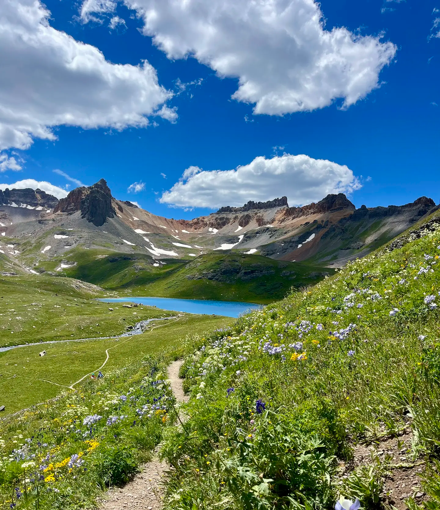
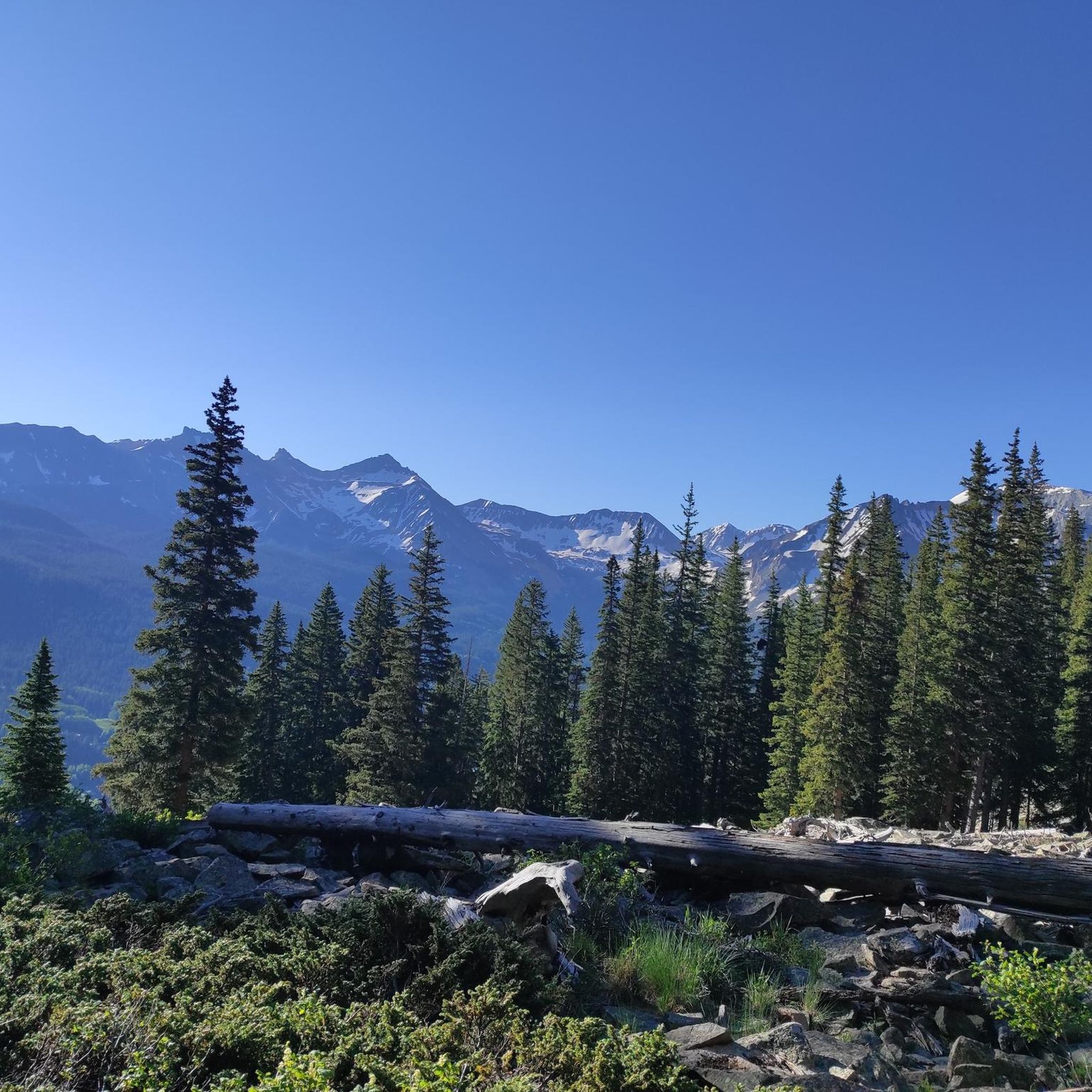
The Blue Lake via Bridal Veil Trail offers a truly epic high-alpine jogging experience near Telluride, taking you through a dramatic landscape of waterfalls, wildflowers, and towering peaks. You'll navigate a mix of rugged 4x4 road and climbing trail, with a steady ascent that rewards you with breathtaking views. The highlight is the crystal-clear Blue Lake itself, nestled in a glacial cirque, making this a difficult 7.3-mile (11.7 km) route with 2194 feet (669 metres) of gain, typically completed in 1 hours and 49 minutes.

Planning your visit requires acknowledging the strenuous nature and high altitude. While the full route is challenging, you can shorten the trip by accessing the upper trailhead near the Bridal Veil Power Station. The trail is particularly stunning from mid-July to early August when wildflowers are in full bloom, but be aware that snow can linger even into mid-September. This is a route for experienced trail runners or those prepared for a demanding hike-jog.

Beyond the natural beauty, the trail is rich with history, passing by the restored Smuggler-Union Hydroelectric Power Plant and offering glimpses of old mining relics around Blue Lake. Keep an eye out for wildlife like pikas and marmots, and enjoy the distinct pyramid-shaped mountains like the Three Needles and Bridal Peak that punctuate the skyline. It's a prime example of the challenging and rewarding jogging trails Telluride has to offer.

Navigate with device

Send to Phone

Save

Hard

2

runners

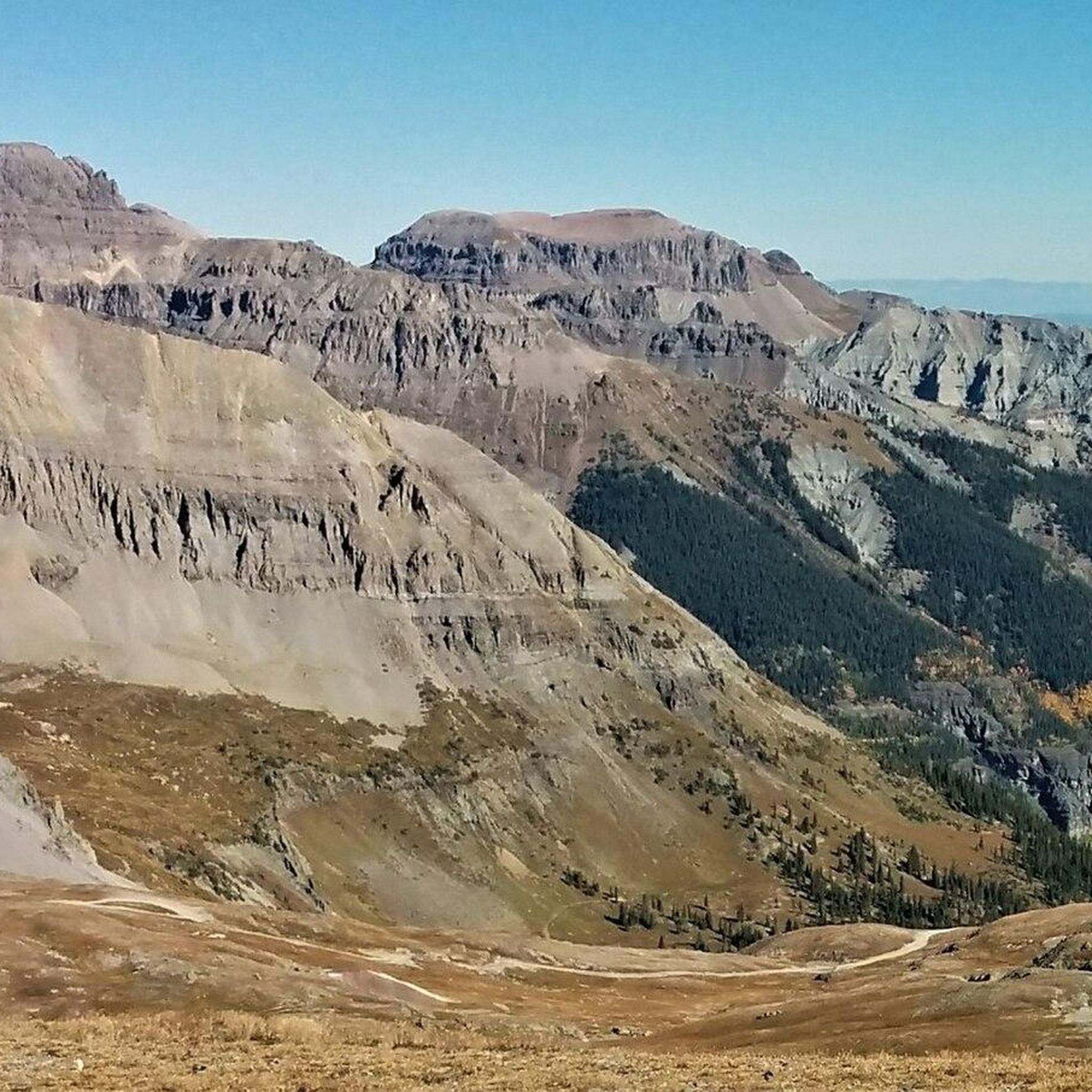
Embark on an epic high-alpine journey combining Wetterhorn Peak and Uncompahgre Peak, two of Colorado's most iconic fourteeners. This difficult route spans 15.1 miles (24.3 km) with an intense 4752 feet (1448 metres) of elevation gain, offering a dramatic shift from wildflower-filled meadows to rugged, rocky summits. You'll experience the unique, flat-topped "wedding cake" shape of Uncompahgre and the sharp, pointed spire of Wetterhorn, with panoramic views across the San Juan Mountains.

Be prepared for a serious challenge; while lower sections might be runnable, the upper reaches involve significant Class 2+ and Class 3 scrambling, requiring careful foot and hand placement. Access to the trailheads for both peaks demands a high-clearance 4WD vehicle. Helmets are recommended for the final push to Wetterhorn's summit due to potential rockfall, and an early start is crucial for this estimated 3-hour and 54-minute adventure.

These peaks are renowned for their distinct geological features and the incredible sense of accomplishment they offer. Uncompahgre is the highest peak in the San Juan Mountains, while Wetterhorn is celebrated for its technical Class 3 scrambling, making it a favorite for those seeking a true mountaineering experience. Keep an eye out for pikas and marmots in the alpine zones.

Hard
guide_signup
Let us show you the way with the komoot mobile app
With a free komoot account, you can easily find, customize, and navigate endless outdoor adventures.

Sign up for free

1

runners

5.41km

00:53

470m

470m

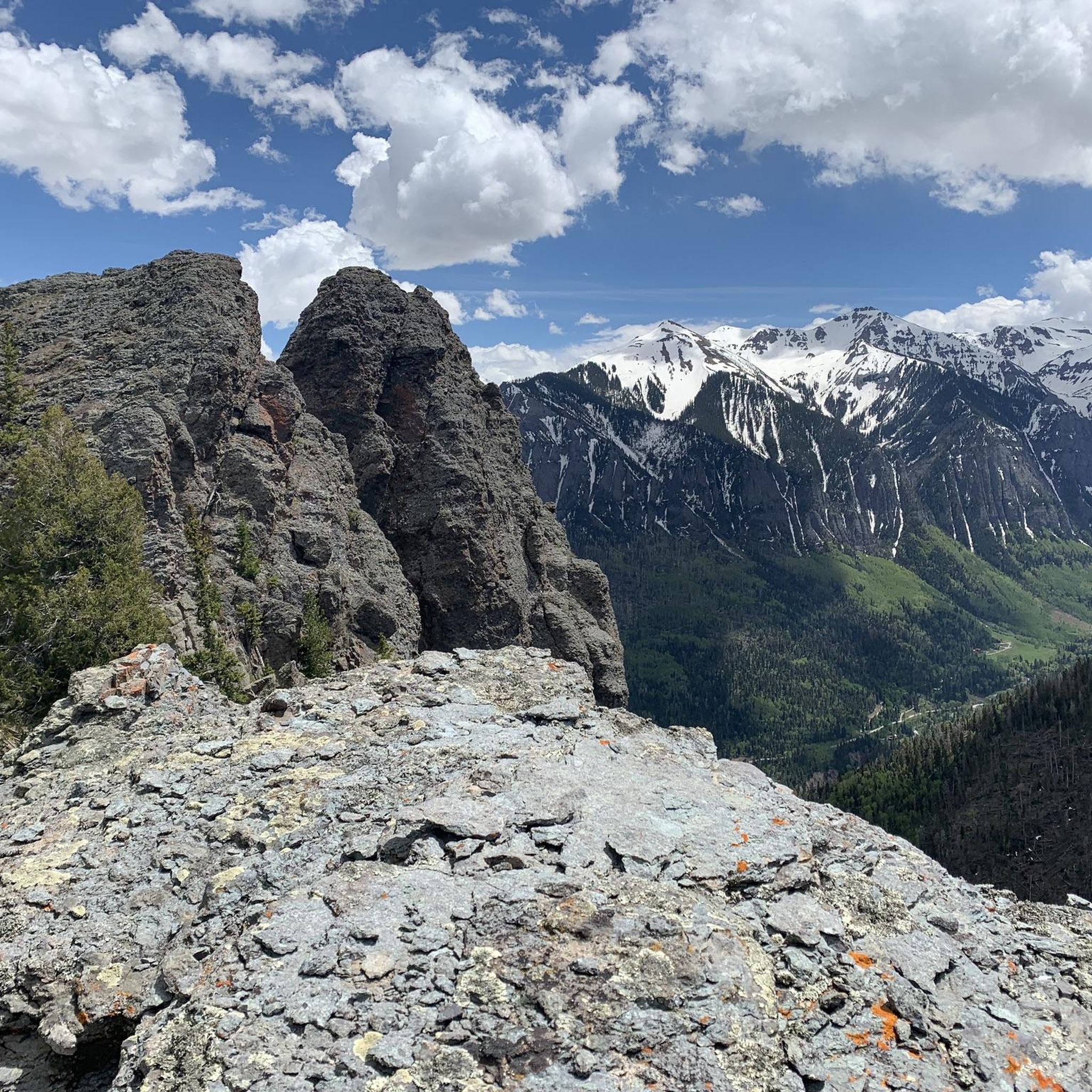
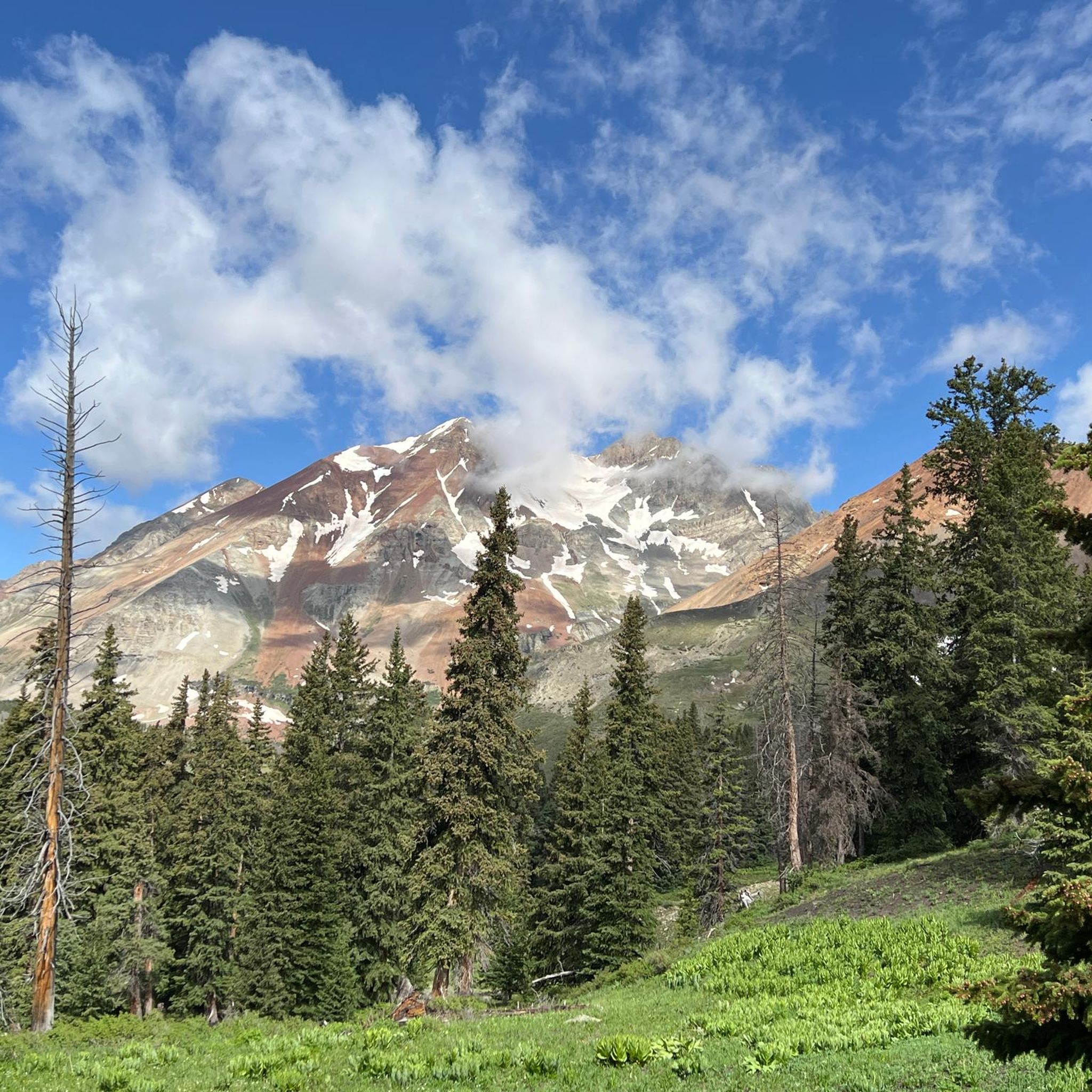
The Courthouse Mountain Trail offers a truly demanding yet incredibly rewarding jogging experience, taking you through varied terrain from dark forests to exposed alpine tundra. As you ascend, you'll navigate steep conglomerate, talus slopes, and boulder fields, all leading to the dramatic summit of Courthouse Mountain. From the top, you're rewarded with expansive 360-degree views of the San Juans, Mount Sneffles, and the Cimarron range, a truly spectacular payoff for your effort.

This difficult 3.4-mile (5.4 km) route involves a significant 1546 feet (471 metres) of elevation gain, which most joggers can complete in about 53 minutes. The trail is known for its constant, steep incline, offering no warm-up, so come prepared for a sustained climb. Staying on the marked path is essential due to the erosive volcanic rock, and some sections in the meadows might require careful route-finding.

Courthouse Mountain, standing at 12,152 feet, is distinguished by its vertical prominence and served as a backdrop for the original 1969 film "True Grit." Despite not being the highest peak in the region, it's highly regarded for its charm and the unparalleled views it provides, offering a 'most bang for your buck' experience. Keep an eye out for wildflowers in season and potential wildlife like mountain goats and bighorn sheep.

Hard

17

runners

The Ouray – Ouray loop from Ouray offers a unique perspective on the "Little Switzerland of America," weaving through lush forests and vibrant meadows. You'll encounter several waterfalls, including the impressive Cascade Falls and Box Canyon Falls, where a suspension bridge provides dramatic views of the gorge. The trail also boasts geological wonders and offers panoramic vistas of the San Juan Mountains and the town below, making it a rewarding experience for joggers.

This moderate 4.4-mile (7.1 km) jogging route features a gentle 248 feet (76 metres) of elevation gain and can be completed in about 44 minutes. The trail is easily accessible from multiple points within Ouray, with the Visitor Center being a popular starting location. It's recommended to carry a trail map due to connected fragments, and many suggest jogging it clockwise for easier navigation.

Beyond the natural beauty, the Ouray – Ouray loop incorporates interesting man-made structures like five to six bridges and a historic water tunnel. You might even spot quirky elements like a hidden troll or a rocktopus along the way. The trail also provides views of the Ouray Ice Park, adding a unique local flavor to this well-maintained route.

Moderate

Hard run. Very good fitness required. Sure-footedness, sturdy shoes and alpine experience required.

Hard

The Ouray – Canyon Creek Bridge and Falls loop offers a diverse and rugged jogging experience, winding through quartzite canyons, forests, and along creeks. You'll encounter stunning panoramic views of Ouray and the San Juan Mountains, including Hayden Mountain, throughout the route. Keep an eye out for multiple waterfalls, like the impressive Box Canyon Falls, and unique geological formations that make this trail a visual treat.

This difficult 7.5-mile (12.1 km) route involves 1264 feet (385 metres) of elevation gain, typically taking around 1 hour and 25 minutes to complete. The terrain includes narrow paths, steep climbs, and rock slides, particularly challenging in the initial sections. Good footwear and trekking poles are highly recommended due to the varied and uneven surfaces, especially near features like the metal scaffolding and tunnel at Box Canyon Falls.

This loop is a fantastic way to experience Ouray's reputation as the "Switzerland of America," showcasing its unique geology and abundant waterfalls. It's a notable route for its continuous scenic vistas and the dramatic plunge of Canyon Creek at Box Canyon Falls, a significant nesting site for Black Swifts. The trail offers a more strenuous option compared to some shorter Ouray Perimeter Trail sections, perfect for those seeking a demanding workout with high rewards.

Hard

7

runners

Hard run. Very good fitness required. Mostly paved surfaces. Suitable for all skill levels.

Hard

If you're seeking a truly challenging jogging route with consistently breathtaking scenery, the Twin Peaks – Oak Creek Trail loop from Ouray delivers. This difficult 6.3-mile (10.2 km) loop takes you on a strenuous journey through dense forests and along steep mountain paths, offering incredible vistas of Hayden Mountain and the Uncompahgre River Gorge. Expect to gain 2921 feet (890 metres) in elevation, with the route taking approximately 2 hours and 1 minutes, making it ideal for experienced runners comfortable with significant climbs and varied terrain.

Planning your visit requires acknowledging the trail's demanding nature; an early morning start is highly recommended to tackle the steep grades before the heat of the day. While specific parking information isn't detailed, Ouray offers various access points to its popular trails, so check local signage. Be sure to bring ample water and wear appropriate footwear for loose gravel and rocky sections, especially if you're looking for Twin Peaks Oak Creek Trail loop Ouray best time to visit seasonal considerations.

Beyond the physical challenge, this trail is rich in natural and historical features. Along the Oak Creek Trail, you'll discover picturesque waterfalls and even two parallel tunnels from an abandoned gold mine, adding a unique historical layer to your run. The panoramic views from the Oak Creek Overlook, encompassing Ouray and Box Canyon Falls, are a highlight, showcasing why this is one of Ouray's trails with best views.

Hard

Hard run. Very good fitness required. Sure-footedness, sturdy shoes and alpine experience required.

Hard

4

runners

The Running loop from Ironton Park is a challenging 8.1-mile (13.0 km) jogging route that packs a punch with 2669 feet (813 metres) of elevation gain. Expect a difficult workout that typically takes around 2 hours and 6 minutes to complete. As you navigate the terrain, you'll be treated to expansive views of surrounding 13,000-foot peaks and pass through sections of pine and aspen forest, with the historic ghost town of Ironton adding a unique backdrop to your run.

Planning your visit to Ironton Park is straightforward, with parking available at the trailhead. This area is part of the Uncompahgre National Forest, and while it's known for its Nordic trails, this specific loop offers a more strenuous experience. Always be prepared for changing mountain weather and check conditions, especially if you're visiting outside of peak summer months. Supporting local trail maintenance efforts through the donation box is a good idea.

What makes this route stand out is its blend of natural beauty and rich mining history. You're not just getting a great workout; you're also running through an area steeped in the past, with glimpses of the ghost town and the open valley floor. It's a fantastic option for runners who appreciate a significant physical challenge combined with scenic viewpoints and a touch of Colorado's heritage.

Hard
Sign up for free to see 35 more runs in Ouray County.

Get access to more routes and recommendations from other explorers.

Sign up for free

Already have an account?

Our route recommendations are based on thousands of hikes, rides, and runs completed by other people on komoot.

Start today with a free account

Your next adventure awaits.
Login or Signup

Popular around Ouray County

Running Trails in Mount Sneffels Wilderness

Running Trails around Portland

Running Trails around Ouray

Softrock 100: Four Days Through Colorado’s Alpine Wilds

Hiking in Ouray County

MTB Trails in Ouray County

Road Cycling Routes in Ouray County

Cycling in Ouray County

Other adventures in Ouray County

Softrock 100: Four Days Through Colorado’s Alpine Wilds

Running Collection by

maniboyflex

Tips from the Community

mtm05005
September 26, 2025, Ouray

Ouray ( YOOR-ay) is a home rule municipality that is the county seat of Ouray County, Colorado, United States. The city population was 898 as of the 2020 census. The Ouray Post Office has the ZIP Code 81427. Located at an elevation of 7,792 feet (2,375 m), Ouray's climate, natural alpine environment, and scenery have earned it the nickname "Switzerland of America".

0

0

maniboyflex
September 26, 2025, Canyon Creek

A rugged mountain run that follows a tumbling creek through a narrow canyon, with steep walls rising on both sides. The sound of rushing water and glimpses of small cascades keep the climb lively, while the cool air from the creek offers relief on warm days. A tough but scenic stretch on the way to higher ground or to Ouray.

0

0

Small creek crossing that is part of the Oak Creek Trail. The water is normally shallow and slow moving, and with some strategically placed rocks, you can cross the creek without getting your feet too wet.

0

0

The Oak Creek Trail is a popular trail that passes several waterfalls and a creek. The trail has some moderate elevation gain, but it not too strenuous.

0

0

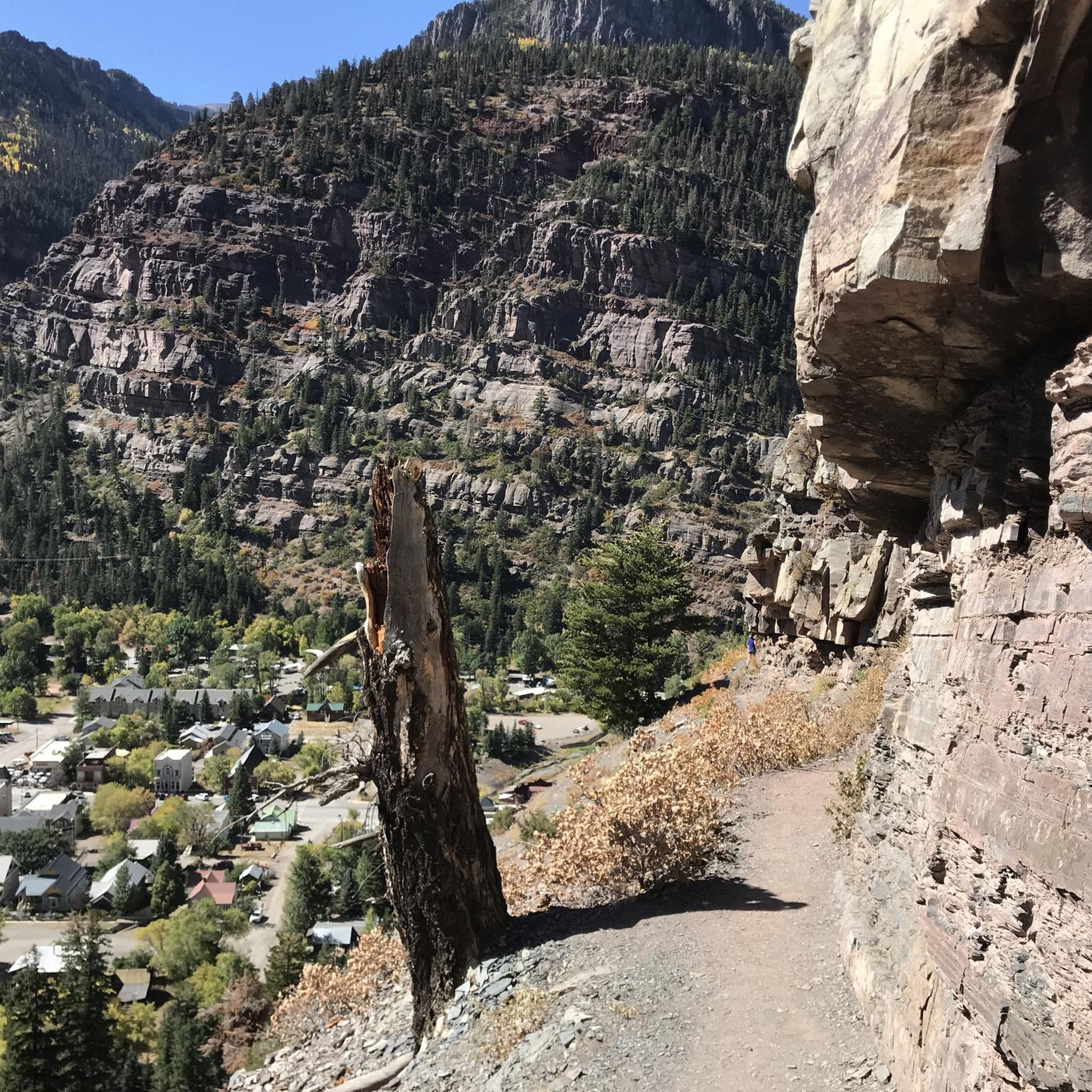
The Perimeter Trail is one of the main trail in Ouray and gives you great views of the town and mountains. There is also one of several via ferrata accesses here.

0

0

The Upper Cascades Fall Trail takes you to Upper Cascades Falls and gives you great views of the Uncompahgre Valley and the Amphitheatre.The trail is moderately challenging, but it worth the effort for the wonderful views and natural beauty of the area.

0

0

Jamie S.
June 11, 2025, Ouray

Nestled in the heart of the San Juan Mountains, Ouray, Colorado, is a haven for outdoor enthusiasts. Its rugged landscape offers hiking, rock and ice climbing (Ouray is known in particular for its ice park), road and mountain bike riding, and hot springs for those seeking adventure. The Uncompahgre River also attracts kayakers and fishing enthusiasts - there really is something here for everyone! The historic Main Street is a fantastic place to regroup, relax, and refuel after a busy day outside. Featuring Victorian-style architecture, local shops, and laid-back cafes and restaurants, this historic street is a great place to spend an afternoon.

0

0

Box Canyon Falls is where Canyon Creek cascades 85 feet into a narrow quartzite canyon surrounded by 100-foot walls. This developed park offers hiking trails, picnic areas, and a visitor center, which operates seasonally, closing in November. The park is also a significant bird area, recognized by the National Audubon Society for hosting Black Swifts, the largest swifts in North America, which migrate from Brazil each summer. Keep in mind that dogs are not allowed in the park.

0

0

Frequently Asked Questions

What is the general difficulty level of running routes in Ouray County?

Running in Ouray County primarily features challenging mountain trails. While there are no routes classified as 'easy' in our selection, you'll find 14 routes rated as moderate and 29 as difficult, catering to various running preferences and experience levels.

Are there any circular running routes in Ouray County?

Yes, Ouray County offers several excellent circular running routes. For example, the Jud Wiebe Memorial Loop is a popular 3.4-mile (5.4 km) trail that takes you through forested hillsides and open meadows. Another option is the Sneffels Highline Trail Loop, a more challenging 13.3-mile (21.5 km) path traversing high alpine terrain.

What kind of views can I expect on the running trails in Ouray County?

Ouray County's running trails are renowned for their stunning mountain vistas and expansive views. Many paths ascend to panoramic viewpoints, offering glimpses of the rugged San Juan Mountains, deep valleys, and alpine forests. Routes like the Ajax Peak and Imogene Pass Loop provide particularly dramatic scenery.

Are there any waterfalls or notable natural attractions along the running routes?

Yes, Ouray County is home to several beautiful waterfalls and natural attractions. You might encounter sights like Canyon Creek Bridge and Falls or Lower Cascade Falls. These natural features add to the scenic beauty of the trails.

What is the best time of year for running in Ouray County?

Given Ouray County's high-altitude environment, the best time for running is typically from late spring through early autumn (roughly May to October) when trails are clear of snow and weather is more predictable. Summer offers warmer temperatures, but afternoon thunderstorms are common. Always check local weather conditions before heading out.

Can I bring my dog on the running trails in Ouray County?

Many trails in Ouray County are dog-friendly, but it's crucial to check specific trail regulations before you go. Always keep your dog on a leash, pack out all waste, and ensure they are well-hydrated, especially on longer or higher-altitude runs. Respect wildlife and other trail users.

What do other runners enjoy most about jogging in Ouray County?

The running routes in Ouray County are highly rated by the komoot community, with an average score of 4.0 stars. Reviewers often praise the challenging mountain trails, the stunning high-altitude scenery, and the rewarding experience of running through such a rugged and beautiful landscape.

Are there any shorter, moderate running options available?

While many routes are difficult, there are moderate options for a less strenuous run. The Rowdy Reservoir Road is a moderate 2.2-mile (3.6 km) route, and the Ouray loop from Ouray is a moderate 4.3-mile (6.9 km) option, offering a good balance of challenge and accessibility.

What are the typical distances and durations for running routes in Ouray County?

Running routes in Ouray County vary significantly in length and duration. You'll find shorter loops like the Jud Wiebe Memorial Loop at 3.4 miles (5.4 km) taking about 45 minutes, to much longer and more challenging trails such as Wetterhorn Peak and Uncompahgre Peak, which spans over 15 miles (24 km) and can take several hours.

Is it possible to run in Ouray County during winter?

Winter running in Ouray County is possible but requires careful preparation due to snow and ice. Many high-altitude trails become impassable or require specialized gear like snowshoes or microspikes. Lower elevation trails might be accessible, but always check current conditions, avalanche forecasts, and be prepared for rapidly changing mountain weather.

Are there any routes that pass through or near the town of Ouray?

Yes, some routes offer easy access to the town of Ouray. The Ouray loop from Ouray is a great example, starting and ending directly in the town. This allows for convenient access to amenities like coffee shops or restaurants before or after your run.

What should I know about elevation gain on Ouray County trails?

Elevation changes are a defining characteristic of running in Ouray County. Many paths involve significant ascents and descents, with some routes gaining over 4,000 feet (1,200 meters) in elevation. Be prepared for challenging climbs and descents, and consider your fitness level and acclimatization to high altitudes.

Most popular routes in Ouray County

Hiking in Ouray County

Most popular attractions in Ouray County

Places to see

Store rating

Get inspired with the komoot mobile app

With a free komoot account, you can easily find, customize, and navigate endless outdoor adventures.

or

Join komoot Now

Store rating

Didn’t find what you were looking for?

Check out more Running Trails & Routes throughout Ouray County below and find the perfect route in your destination.

Mount Sneffels WildernessPortlandOuray

Nearby adventure guides

Things to Do around Ridgway

background

Get ready to conquer new peaks

Sign up for Free

Explore
RoutesRoute plannerFeaturesHikesMTB TrailsRoad cycling routesBikepackingSitemap
Download the app
Follow Us on Socials

© komoot GmbH

Privacy Policy