The best cycling routes in Billings County
5.0
(2)
30
riders
6
rides
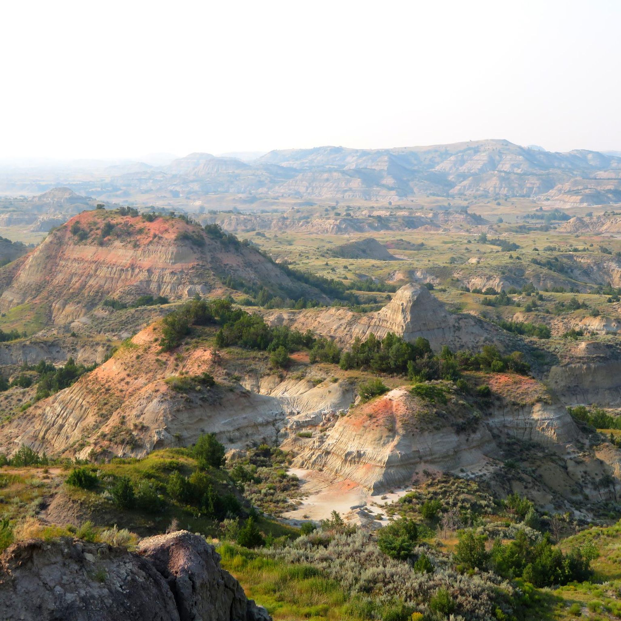
Touring cycling routes in Billings County, North Dakota, traverse a landscape dominated by the dramatic badlands and the expansive Little Missouri National Grassland. The region features rolling badlands, deep canyons, and unique geological formations carved by the Little Missouri River. Cyclists can explore a mix of paved park roads and extensive singletrack trails, offering diverse terrain from challenging climbs to flat sections. This area provides a distinctive backdrop for cycling adventures, showcasing prairies, clay buttes, and wooded draws.
Best touring…
Last updated: August 17, 2026
5.0
(1)
9
riders
56.0km
03:36
760m
760m
Hard bike ride. Very good fitness required. Mostly paved surfaces. Suitable for all skill levels.
7.81km
00:37
80m
80m
Easy bike ride. Great for any fitness level. Mostly paved surfaces. Suitable for all skill levels.

Sign up for free
51.1km
04:26
630m
630m
Hard bike ride. Very good fitness required. Mostly paved surfaces. Suitable for all skill levels.
6
riders
54.2km
03:28
630m
630m
Hard bike ride. Very good fitness required. Mostly paved surfaces. Suitable for all skill levels.
5
riders
28.2km
02:52
500m
500m
Hard bike ride. Very good fitness required. Mostly paved surfaces. Suitable for all skill levels.
5.0
(1)
7
riders
26.9km
01:41
290m
290m
Moderate bike ride. Good fitness required. Mostly paved surfaces. Suitable for all skill levels.
Our route recommendations are based on thousands of hikes, rides, and runs completed by other people on komoot.
Start today with a free account
Your next adventure awaits.
Login or Signup
Popular around Billings County
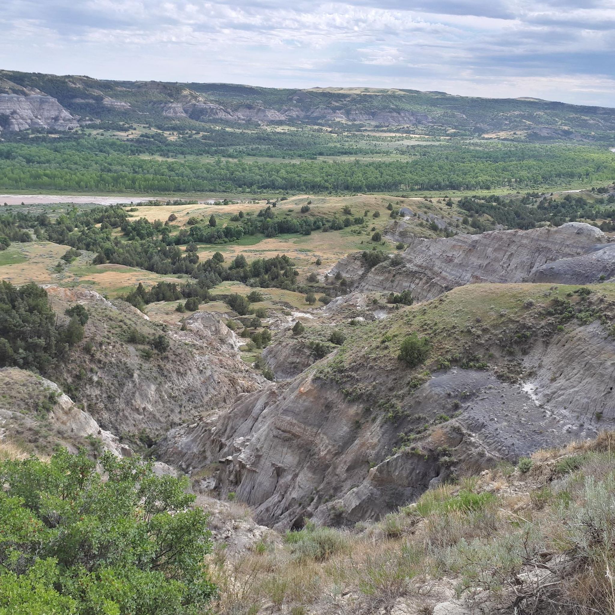
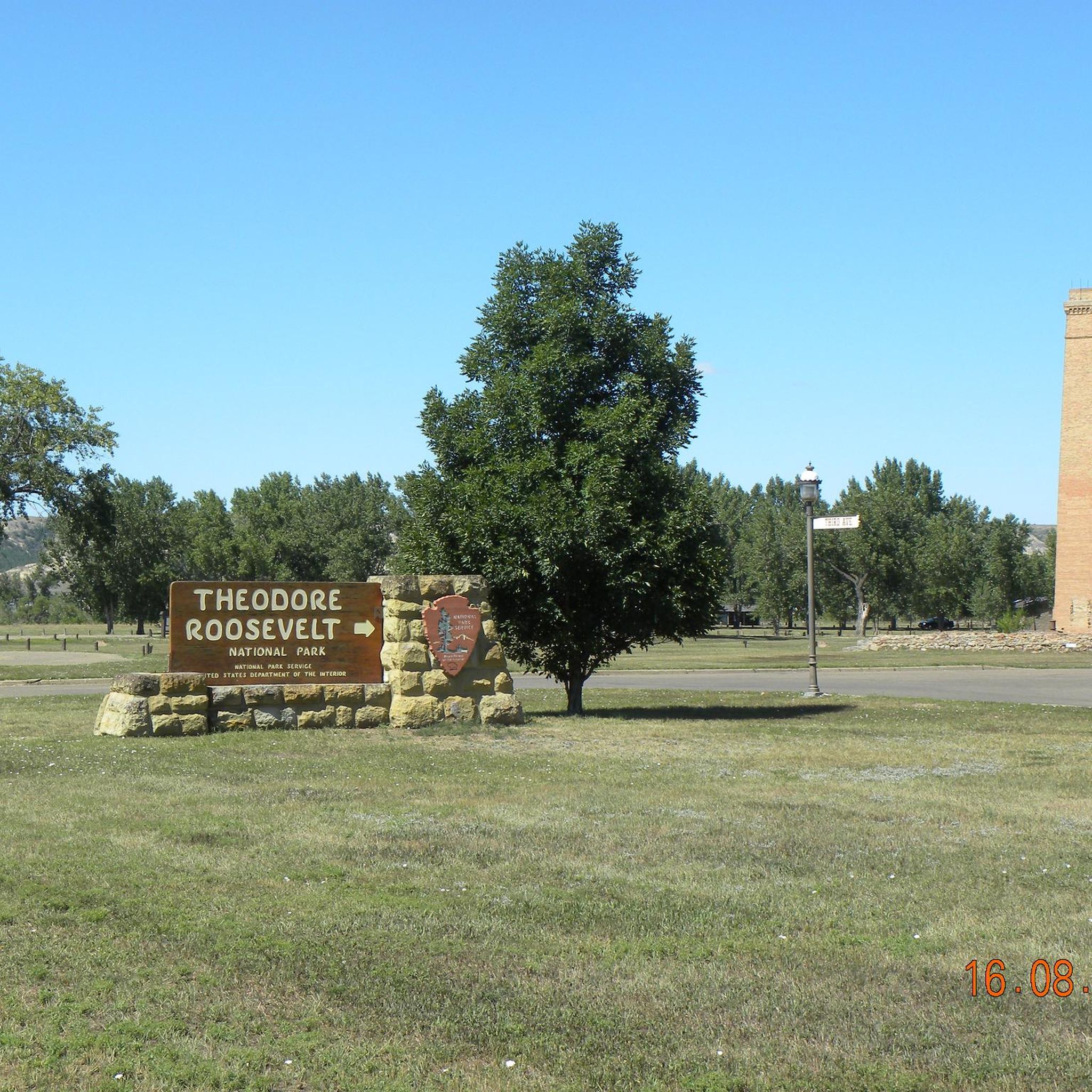
Cycling in Theodore Roosevelt National Park
Cycling around Medora
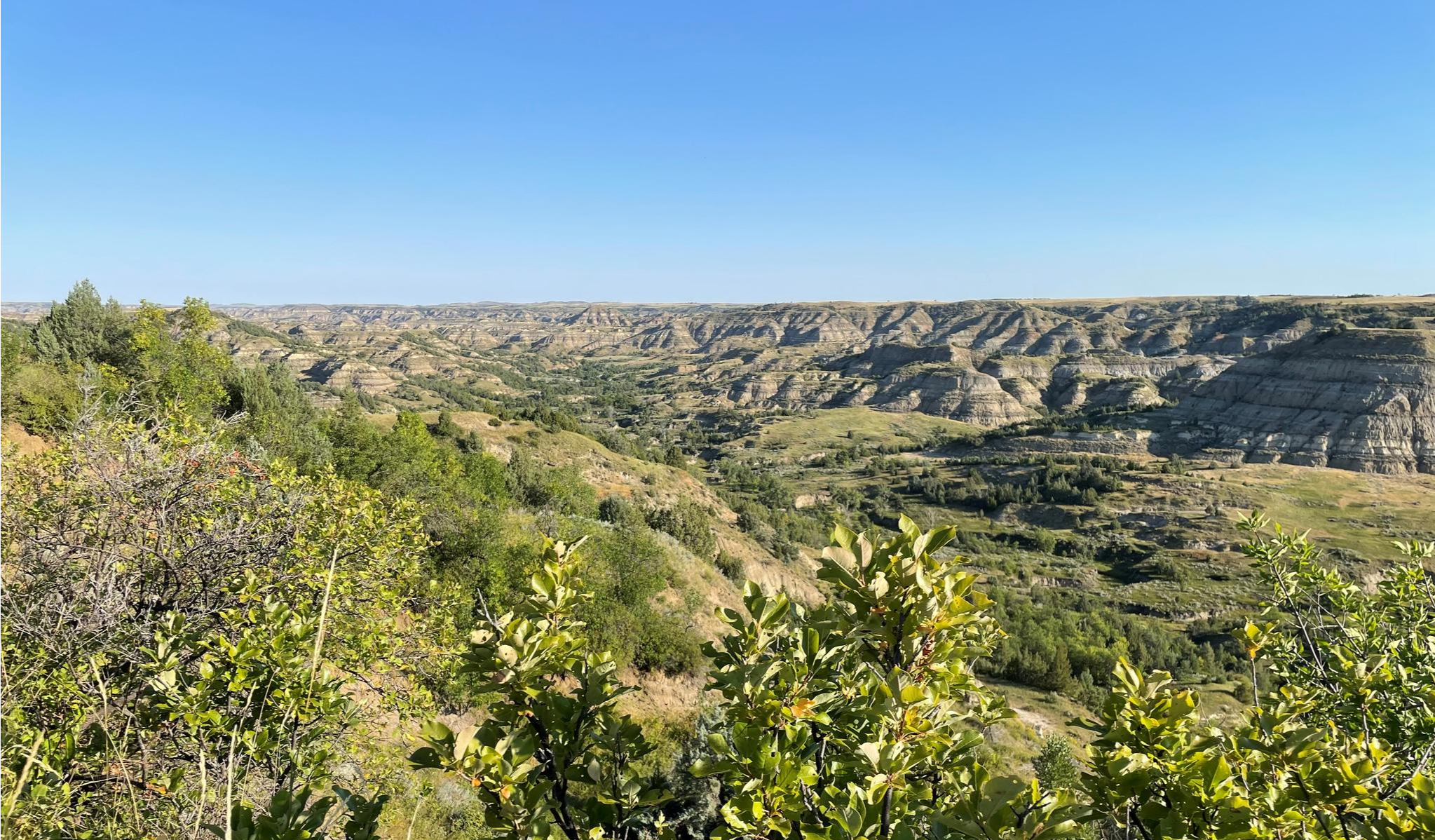
Maah Daah Hey Trail — The legendary Badlands trek
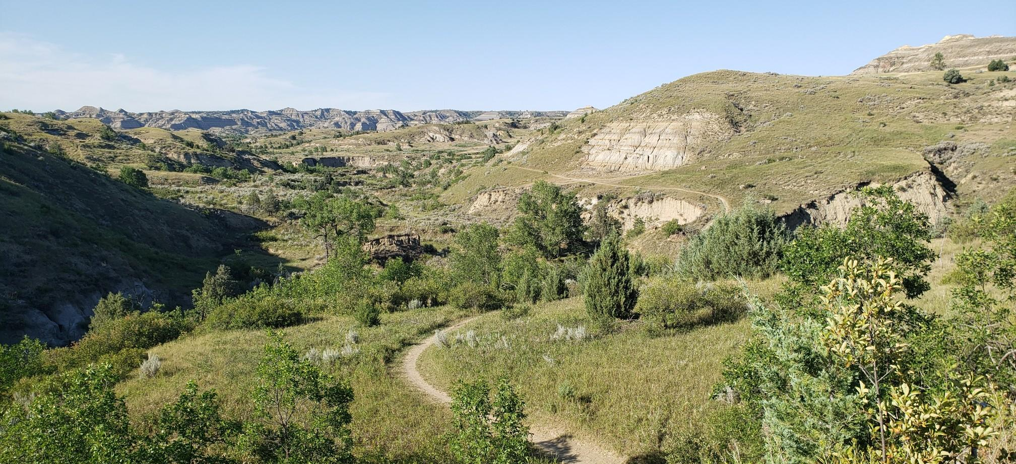
The Maah Daah Hey Trail — An Epic Ride Through The Iconic Badlands

From the mountain peaks to the prairie – Rocky Mountains and Great Plains
Hiking in Billings County
Running Trails in Billings County
MTB Trails in Billings County
Road Cycling Routes in Billings County
Other adventures in Billings County


Tips from the Community

Cottonwood Campground is a fantastic spot, with shaded sites beneath mature cottonwoods and sweeping views of the surrounding badlands near the South Unit entrance of Theodore Roosevelt National Park. It offers 76 sites—some reservable, others first-come, first-served—with flush toilets, potable water (seasonal), and a group site. During peak season (May 1–Sept 30), the nightly rate is $20; in the off-season (Oct 1–Apr 30), first-come, first-served sites are available for $10, making it a scenic and affordable overnight for Maah Daah Hey Trail hikers looking to regroup or explore nearby park highlights. **You can reserve a spot here: https://www.nps.gov/thro/planyourvisit/cottonwood-campground.htm, which also lists site availability and additional fee details.
0
0
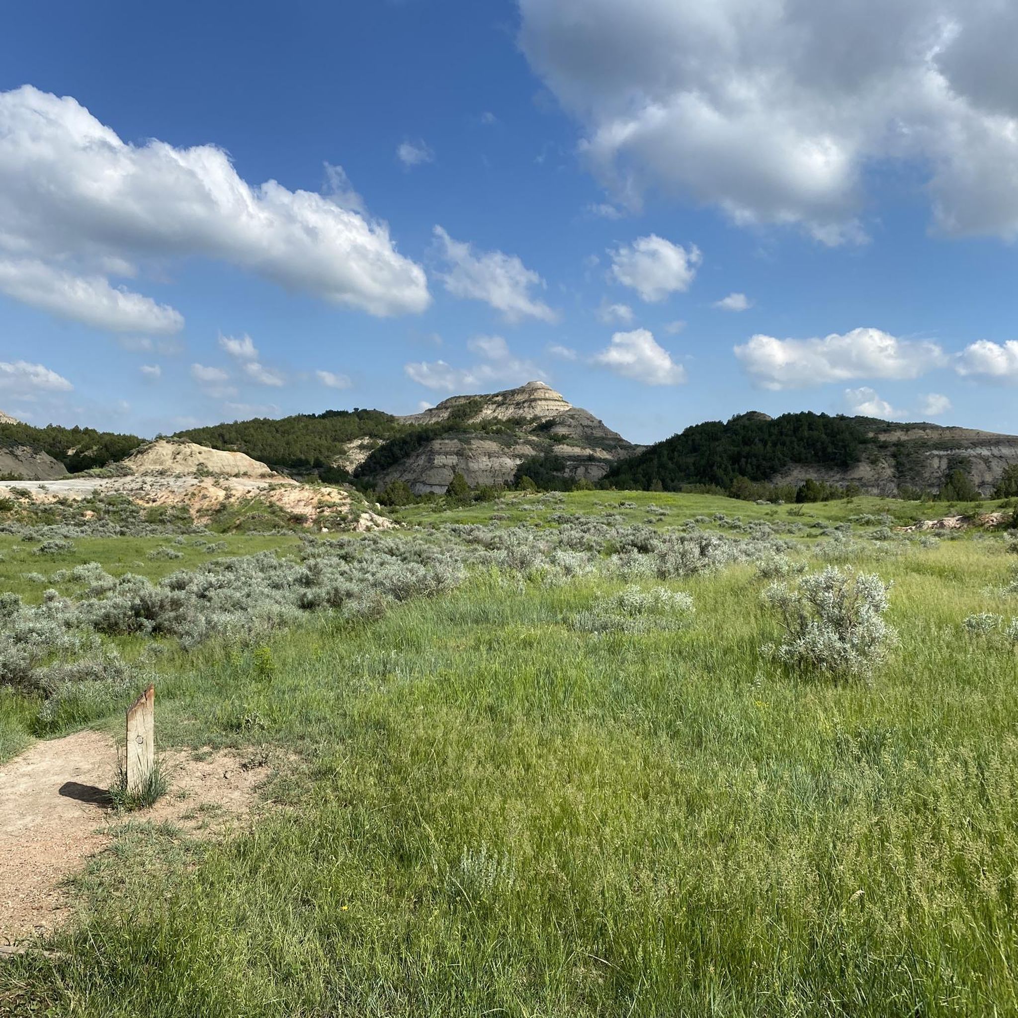
This is a beautiful and relatively short stretch spanning 1 to 1.5 miles of quiet, gently rolling terrain that gradually opens into a broad bench. Scattered juniper clusters and sagebrush dot the landscape, creating a subtle transition from the rugged badlands to a more peaceful prairie feel. Wildlife is often active here, so if you're quiet, you'll likely see mule deer, wild turkeys, and meadowlarks moving through the brush.
0
0

The Theodore Roosevelt National Park encompasses 70,446 acres and is the only American National Park named after a single person. The Little Missouri River flows through the park, which is renowned for its scenic drives, foot and horse trails, wildlife viewing, and camping opportunities.
0
0

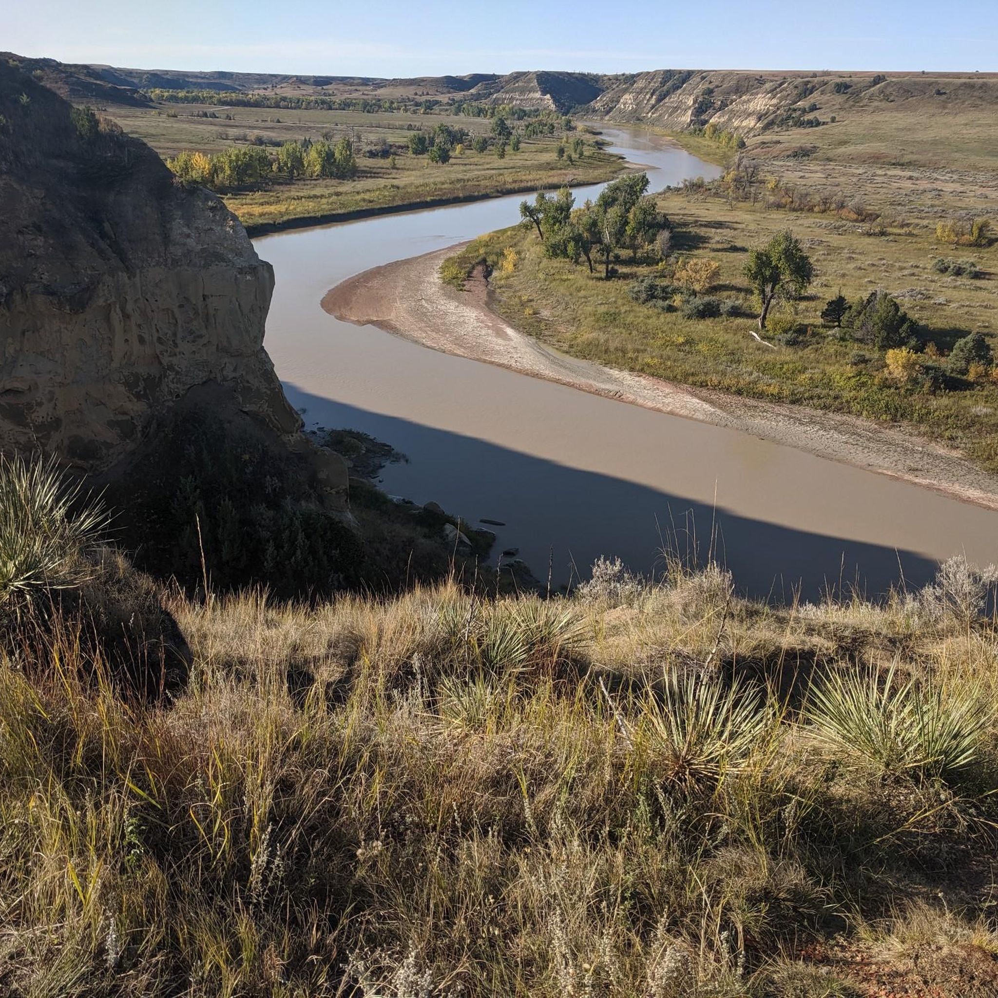
This road winds back and forth in oxbows not unlike the nearby Little Missouri, or "Little Mo," river. It's also one of the only two paved roads in Theodore Roosevelt National Park; the other is Scenic Loop Drive, which you can access from East River Road. Be on the lookout for wildlife, including bison. The National Park Service warns that cyclists should stay at least 25 yards away from bison, horses and other wildlife — for your safety.
1
0

Great viewpoint of Theodore Roosevelt National Park and the surrounding areas.
1
0
Great, quiet path out of Medora. It is 2 miles long. It is a wonderful path to get away from the cars on the road and still enjoy the views of the nearby national park.
0
0
Viewing platform to get a great view of the Badlands. There is an information board, but no other services.
0
0
Great view point of Theodore Roosevelt National Park and the surrounding areas.
0
0
Frequently Asked Questions
How many touring cycling routes are available in Billings County?
Billings County offers a selection of touring cycling routes, with seven distinct options available on komoot. These routes cater to various skill levels, including one easy, two moderate, and four difficult tours, allowing cyclists to choose an adventure that suits their experience.
What is the best time of year for touring cycling in Billings County?
The best time for touring cycling in Billings County is generally during the spring, summer, and fall months. The region experiences dramatic weather changes, so checking local forecasts is always recommended. Summer offers long daylight hours, while spring and fall provide milder temperatures and often vibrant scenery. Winter cycling is possible but requires specialized gear and awareness of conditions.
Are there any easy touring cycling routes for beginners or families?
Yes, Billings County has options suitable for beginners and families. An excellent choice is the Maah Daah Hey and Chimney Park Path Loop, which is an easy 4.9-mile (7.8 km) path. This route incorporates a section of the famous Maah Daah Hey Trail, offering scenic prairies and buttes without significant difficulty.
Can I find circular touring cycling routes in Billings County?
Yes, several touring cycling routes in Billings County are designed as loops, allowing you to start and end at the same point. For example, the Maah Daah Hey and Chimney Park Path Loop is a convenient circular option. Another popular choice is the Badlands loop — Gravel, which offers a longer, more challenging circular experience through the dramatic badlands.
What kind of terrain can I expect on touring cycling routes in Billings County?
Touring cycling in Billings County offers diverse terrain, primarily characterized by the dramatic badlands and the expansive Little Missouri National Grassland. You'll encounter a mix of paved park roads, gravel paths, and extensive singletrack trails. Expect rolling hills, challenging climbs, and descents, especially within Theodore Roosevelt National Park, alongside flatter sections through prairies and river valleys. The region's unique geology means varied surfaces, from packed earth to clay buttes.
What are the highlights of cycling the Maah Daah Hey Trail?
The Maah Daah Hey Trail is a premier non-motorized singletrack trail spanning 144 to 150 miles, offering breathtaking views across the badlands, carved by the Little Missouri River. Highlights include rolling prairies, clay buttes, canyons, and wooded draws. While bikes are not allowed on sections within Theodore Roosevelt National Park, alternate routes bypass these areas. The trail also features nine campgrounds, some with potable water, making it ideal for multi-day adventures. You can experience a section of it on the Maah Daah Hey and Chimney Park Path Loop.
Is it possible to cycle through Theodore Roosevelt National Park?
Yes, touring cyclists can experience Theodore Roosevelt National Park by riding the 24-mile Scenic Drive in the South Unit. This paved road offers challenging climbs and unbeatable views of canyons, hoodoos, and diverse wildlife such as bison and wild horses. Biking is permitted on all park roads open to vehicular traffic, but not on trails or off-road. The Theodore Roosevelt National Park route on komoot covers a significant portion of this scenic area.
Are there any unique natural features to see while cycling?
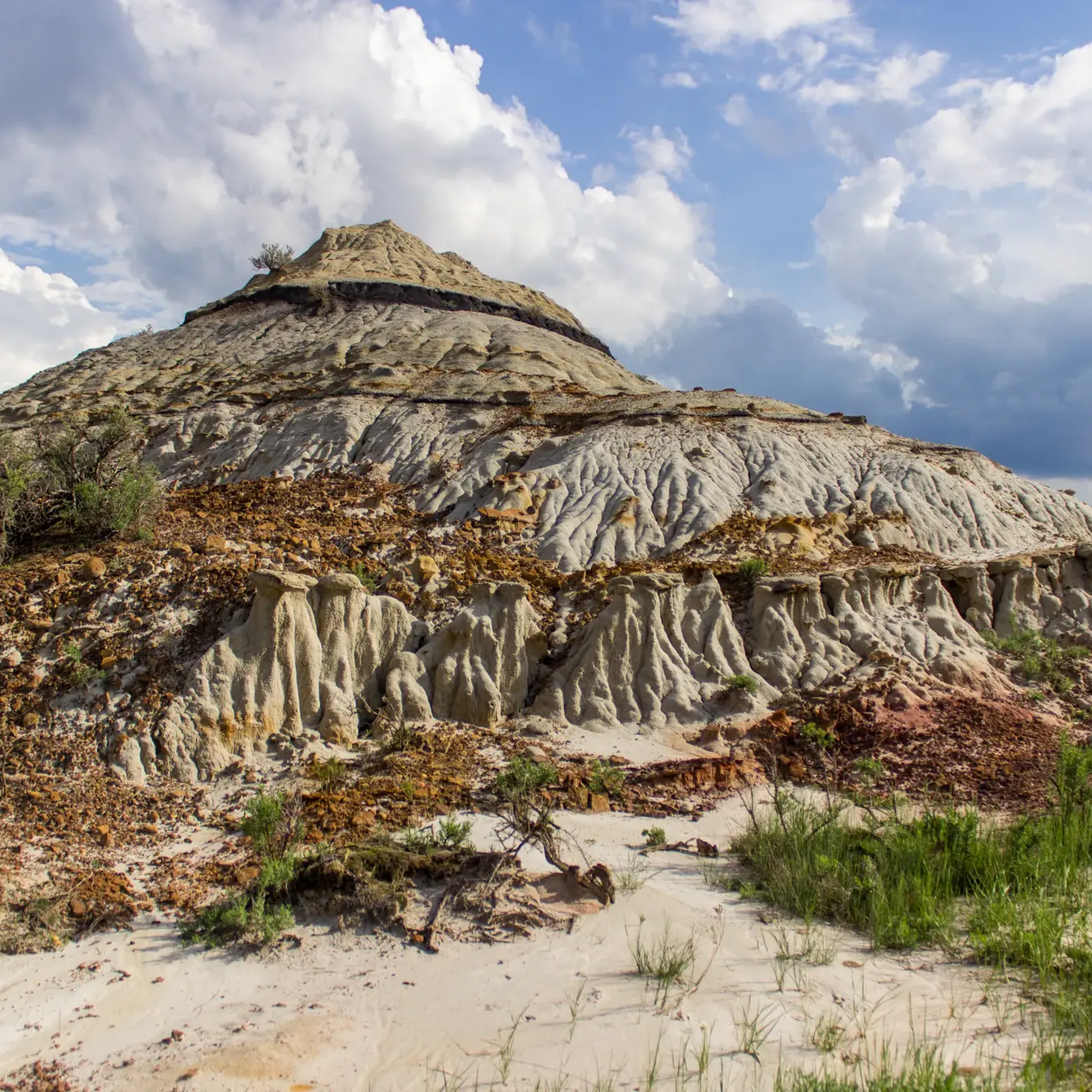
Billings County is rich in unique natural features. The Painted Canyon Overlook offers breathtaking views of colorful badlands and unique rock formations. Another fascinating site is the Burning Coal Vein in the Little Missouri National Grassland, a badlands landscape formed by a historic underground coal fire, exhibiting distinct features and columnar juniper trees. You might also encounter the Little Missouri River, which carves through the badlands.
What is the Long X Trail like for touring cyclists?
The Long X Trail is a 5.8-mile trail that follows the Little Missouri River bottom and climbs the Long X divide, offering scenic vistas of the badlands and river. It connects to the Maah Daah Hey Trail, providing an option for cyclists to create a loop or extend their ride. Historically, it was a route used by cattlemen, passing through what is now Theodore Roosevelt National Park.
Are dogs allowed on touring cycling routes in Billings County?
While specific regulations vary, generally, dogs are permitted on many trails in the Little Missouri National Grassland, provided they are on a leash. However, within Theodore Roosevelt National Park, pets are restricted to paved roads, campgrounds, and picnic areas, and are not allowed on trails or in park buildings. Always check specific trail regulations before bringing your dog.
What amenities are available along the Maah Daah Hey Trail?
The Maah Daah Hey Trail offers several amenities for cyclists, including nine designated campgrounds along its length. Some of these campgrounds provide potable water, which is crucial for multi-day tours. Trailhead entry points are also available, making it easy to access different sections of the trail. For more extensive amenities like food and lodging, the nearby town of Medora serves as a convenient base.
What wildlife might I encounter while cycling in Billings County?
Billings County is home to diverse wildlife, particularly within Theodore Roosevelt National Park and the Little Missouri National Grassland. Cyclists frequently spot bison, wild horses, and prairie dogs. Other animals you might encounter include deer, elk, coyotes, and various bird species. Always maintain a safe distance from wildlife and be aware of your surroundings, especially when cycling through areas known for larger animals.
Where can I find parking for touring cycling routes?
Parking is generally available at various trailheads and visitor centers throughout Billings County. For routes within Theodore Roosevelt National Park, parking is available at the visitor centers and along the Scenic Drive. For sections of the Maah Daah Hey Trail, designated trailheads often have parking facilities. For example, the Burning Coal Vein Campground serves as a trailhead for the Maah Daah Hey Trail and offers parking.
Most popular routes in Billings County
Most popular attractions in Billings County

Get inspired with the komoot mobile app


Didn’t find what you were looking for?
Check out more Cycling routes throughout Billings County below and find the perfect route in your destination.
Explore more
Browse the best Cycling routes in other regions.
