The best walks and hikes in Haines Borough
4.7
(68)
504
hikers
28
hikes
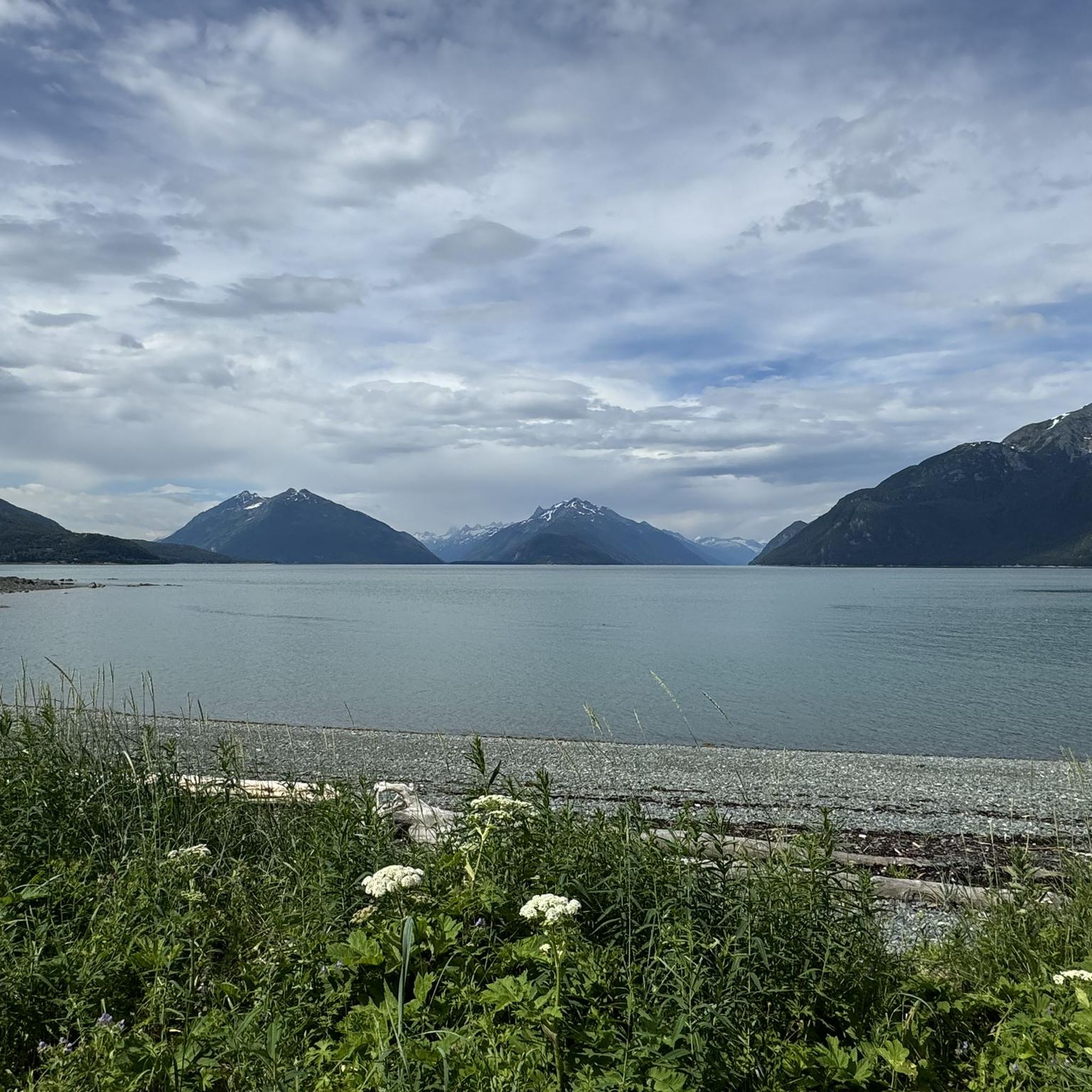
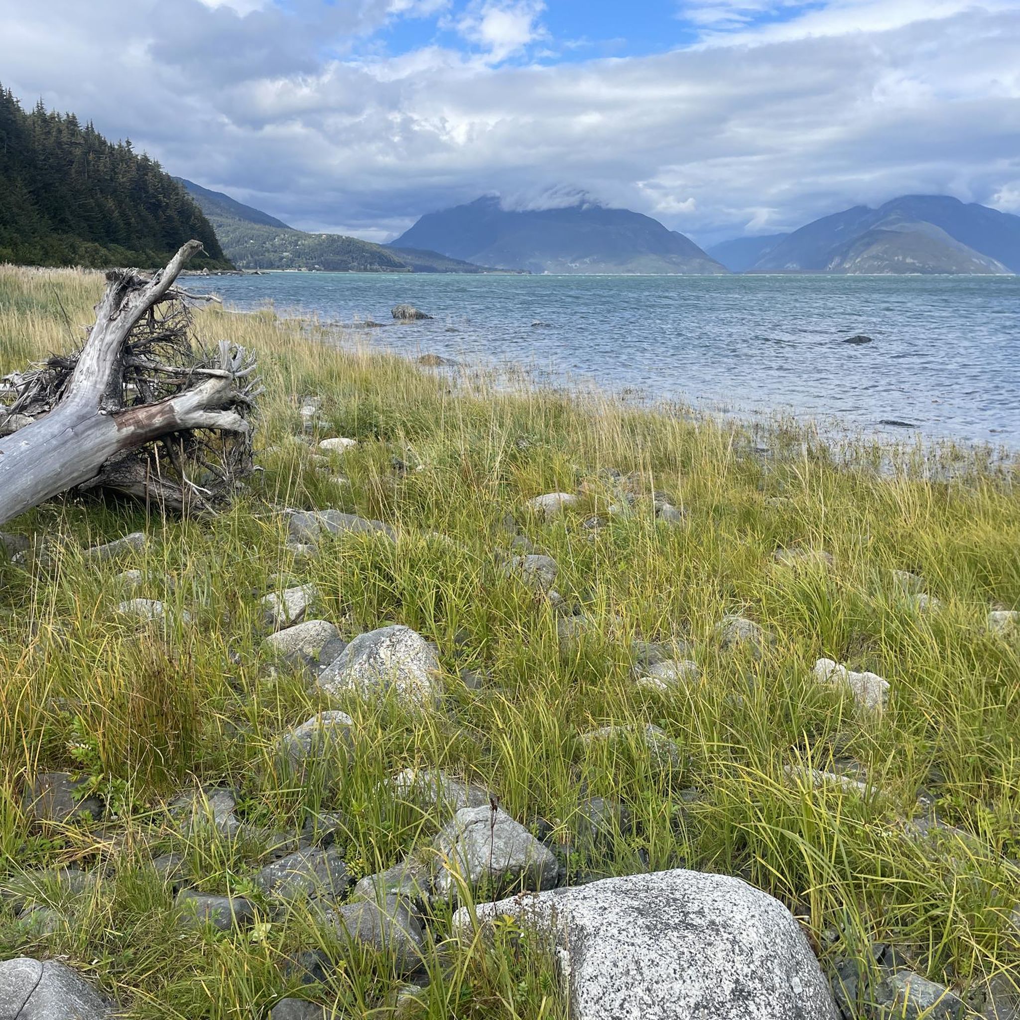
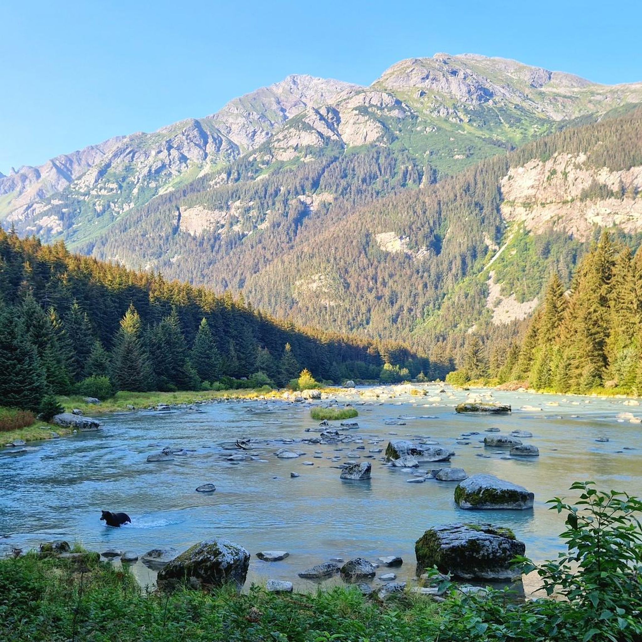
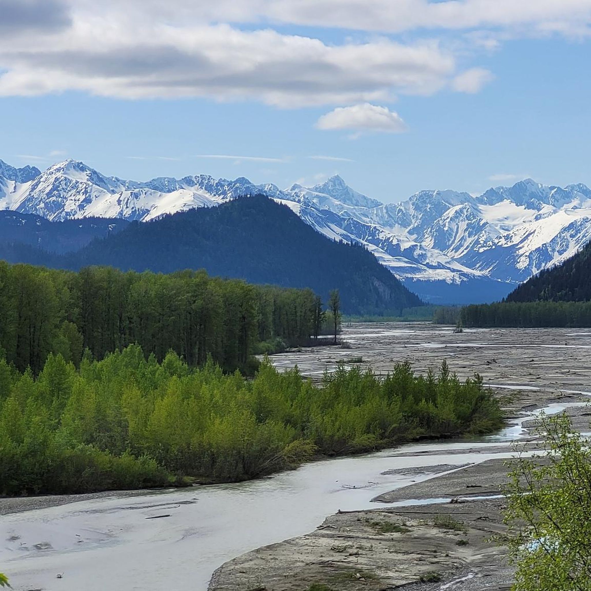
Hiking trails in Haines Borough, Alaska, traverse a landscape shaped by glacial waters and rugged mountains, including the deep Lynn Canal fjord. The region features several mountain ranges such as the Tukgahgo, Chilkat, Takshanuk, and Coast Ranges. Hikers can explore the expansive Chilkat River Valley and Haines State Forest, which offers diverse terrain from dense evergreen groves to open meadows and pristine waters. This environment provides varied opportunities for outdoor exploration.
Best hiking trails in Haines Borough
- The most popular…
Last updated: August 18, 2026
2
hikers
5.44km
01:41
180m
160m
Embark on an easy 3.4-mile (5.4 km) hike along the Sturgill's Landing Trail, a route that guides you through temperate forests and offers scenic views. You will gain 589 feet…
1
hikers
3.00km
00:49
20m
90m
Embark on the Battery Point Trail, an easy 1.9-mile (3.0 km) hike that takes about 49 minutes to complete, with a gentle elevation gain of 75 feet (23 metres). You…

Sign up for free
1
hikers
11.2km
04:43
1,500m
60m
Embark on the AB Mountain Trail, a demanding 7.0-mile (11.2 km) hike that challenges you with a significant 4915 feet (1498 metres) of elevation gain. The route begins by winding…
5.72km
02:07
410m
280m
Hike the 3.6-mile Mount Ripinski Trail to Haines Cliffs Overlook for panoramic views of Chilkoot Lake and the Cathedral Peaks.
4.6
(15)
108
hikers
4.71km
01:30
170m
170m
Easy 2.9-mile loop hike to Lower Dewey Lake in Skagway, Alaska, offering forest scenery and lake views from the Klondike Gold Rush National
4.2
(9)
50
hikers
8.21km
02:49
440m
440m
Hike the 5.1-mile Mount Riley Trail in Chilkat State Park for diverse ecosystems and 360-degree views from the summit.
5.0
(5)
29
hikers
9.64km
02:51
260m
260m
Hike the moderate 6.0-mile Lower Dewey Lake and Sturgill's Landing Trail for diverse terrain, forestscapes, and views of Lynn Canal.
5.0
(5)
24
hikers
11.6km
05:09
1,100m
1,100m
Hike the difficult 7.2-mile Upper Dewey Lake & Devil's Punchbowl trail for alpine scenery, a turquoise lake, and panoramic views of Skagway.
5.0
(4)
17
hikers
7.57km
02:22
280m
280m
Embark on a moderate hike to Icy Lake and Upper Reid Falls, a journey that takes you through dense spruce and hemlock forests. This 4.7-mile (7.6 km) route features a…
5.0
(1)
18
hikers
11.3km
04:37
940m
940m
Hike the difficult 7.0-mile Mount Ripinski Trail near Haines, Alaska, gaining 3076 feet for panoramic summit views.
Get access to more routes and recommendations from other explorers.
Sign up for free
Already have an account?
Our route recommendations are based on thousands of hikes, rides, and runs completed by other people on komoot.
Start today with a free account
Your next adventure awaits.
Login or Signup

Tips from the Community

The view from the summit of AB Mountain just might give you sensory overload. You will have a panoramic view for a full 360° from the actual summit, or equally great views from the earlier two false summits. It's up to you how far you want to go, but keep in mind that weather changes quickly around here and fog can roll in at any time. Be sure you have your maps downloaded and keep track of landmarks for the return trip.
0
0

Good spot for camping toilet and barbecue place available
0
0

If you're looking for a challenging trail run in the Skagway area, this is it. Even hiking here is a challenge, with steep inclines that may sometimes drop you out of a running pace and are virtually guaranteed to give you calves of steel.
1
0
The trail ends at an overlook of the Devil's Punchbowl, a beautiful little tarn set deep in a rocky bowl.
2
0
Your reward for the challenging hike up until this point is an idyllic blue-green lake, with the rich coloring that only glacier-fed waters can provide. There is also a public use cabin nearby — the Upper Dewey Lake Cabin — which must be reserved in advance, for a fee, from the Skagway Recreation Center. https://skagwayrecreation.org/outdoor-recreationupper-lake-cabin/
2
0
The trail along the east side of Lower Dewey Lake is considerably rougher than the trail along the west side, but still a pleasant walk if you have good balance and appropriate footwear.
2
0
Frequently Asked Questions
How many hiking trails are available in Haines Borough?
Haines Borough offers a diverse selection of over 20 hiking trails, catering to various skill levels. These routes explore the region's unique landscapes, from coastal paths to challenging mountain ascents.
What is the best time of year to go hiking in Haines Borough?
Haines Borough experiences less rainfall than many other Inside Passage communities, making it an excellent hiking destination. While summer offers long daylight hours and generally pleasant weather, late fall is particularly special for wildlife viewing, as thousands of bald eagles gather along the Chilkat River during the salmon run.
Are there any easy hiking trails suitable for beginners or families in Haines Borough?
Yes, Haines Borough has several easy trails. For a gentle walk through an urban forest with boardwalks and muskeg views, consider the Sawmill Creek Trail. Another option is the Yakutania Point/Smuggler's Cove Trail, which offers coastal scenery. The Ayiklutu Trail (Moose Meadows) also provides a shorter, scenic option to a beach meadow with views of the Rainbow Glacier.
What kind of wildlife can I expect to see while hiking in Haines Borough?
Haines Borough is rich in wildlife. Hikers often spot bald eagles, especially in the Chilkat Bald Eagle Preserve. Chilkoot Lake State Park is a prime location for viewing bald eagles, harbor seals, and brown bears. Moose and various other bird species are also common throughout the region's diverse habitats.
Are there any challenging or difficult hikes in Haines Borough for experienced hikers?
Absolutely. For experienced hikers seeking a challenge, Mount Ripinsky (Mount Ripinski) offers a difficult alpine route north of town with varied terrain and significant elevation gain. Another demanding option is AB Mountain and Smuggler's Cove, which features substantial elevation and distance.
What are some notable natural features or landmarks to look out for on the trails?
Haines Borough is defined by its dramatic natural beauty. You can witness the impressive Rainbow and Davidson Glaciers from areas like Mud Bay Road through Chilkat State Park. The Lynn Canal, one of the world's longest and deepest fjords, provides stunning backdrops. Specific highlights include the Mount Riley Summit for panoramic views, and Battery Point for coastal scenery.
Are there any circular hiking routes in Haines Borough?
Yes, there are circular routes available. For example, the Lower Dewey Lake loop offers a scenic round trip. While many trails are out-and-back, some, like the Ayiklutu Trail, can be enjoyed as a shorter loop to a scenic meadow or extended for a rugged coastal scramble.
What do other hikers enjoy most about hiking in Haines Borough?
The hiking trails in Haines Borough are highly rated by the komoot community, with an average score of 4.8 stars from over 55 reviews. Hikers frequently praise the stunning natural beauty, the diverse landscapes ranging from coastal views to alpine ascents, and the opportunities for wildlife spotting.
Are there any trails that offer views of glaciers or fjords?
Many trails in Haines Borough offer breathtaking views of glacial landscapes and the deep Lynn Canal fjord. From areas like Mud Bay Road, you can see the Rainbow and Davidson Glaciers. Coastal trails and higher elevation routes often provide expansive vistas of the fjord and surrounding mountains.
Where can I find more information about outdoor activities in Haines Borough?
For additional information on outdoor activities, including hiking and other adventures in Haines Borough, you can visit the official tourism website. Specifically, you might find useful details on their outdoor activities page: visithaines.com/things-to-do/outdoors/.
Are there any trails that are particularly good for birdwatching, especially for bald eagles?
The Chilkat Bald Eagle Preserve Trail is specifically designed for observing bald eagles, featuring interpretive panels and lookouts along its 1.5-mile length. This area is famous for hosting the world's largest concentration of bald eagles, particularly in late fall during the salmon run.
What are the typical terrain and elevation changes like on Haines Borough trails?
Haines Borough trails feature a wide variety of terrain. You'll find everything from easy, flat coastal paths and boardwalks through muskegs to challenging alpine ascents with significant elevation changes. Trails like Mount Riley from Mud Bay involve ascending through pristine forest, while others like Mount Ripinsky are known for their varied and steep alpine conditions.
Most popular routes in Haines Borough
Most popular attractions in Haines Borough

Get inspired with the komoot mobile app


Didn’t find what you were looking for?
Check out more Hikes throughout Haines Borough below and find the perfect route in your destination.
Explore more
Browse the best Hikes in other regions.
