The best walks and hikes around Västra Silen
4.5
(154)
570
hikers
36
hikes
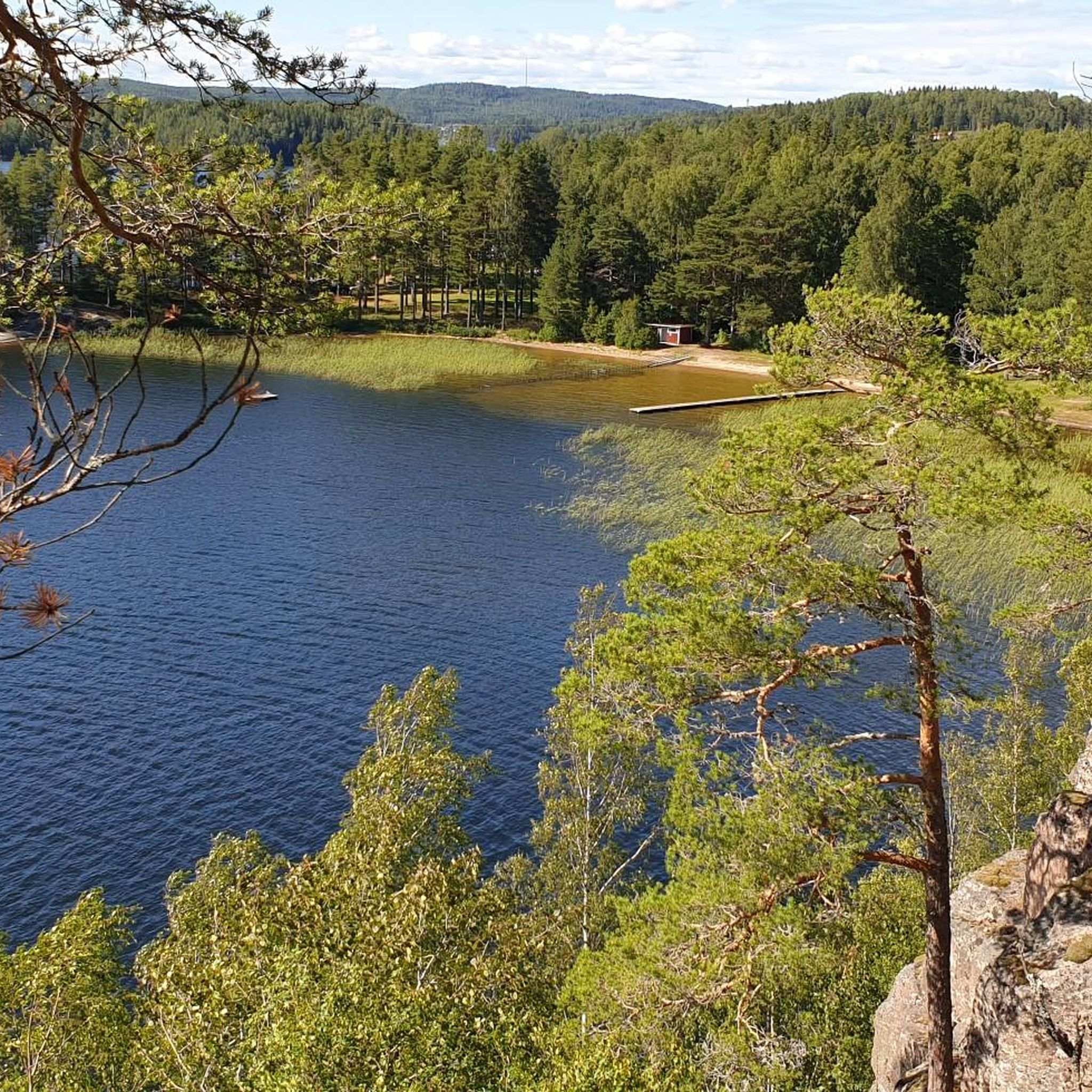
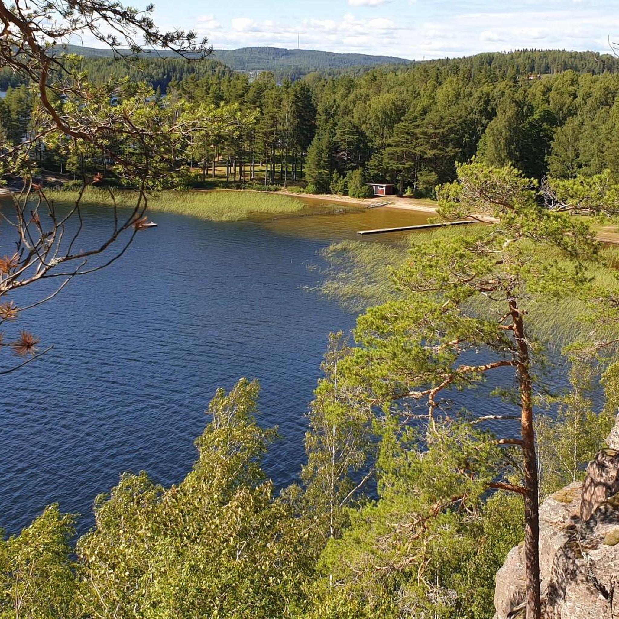
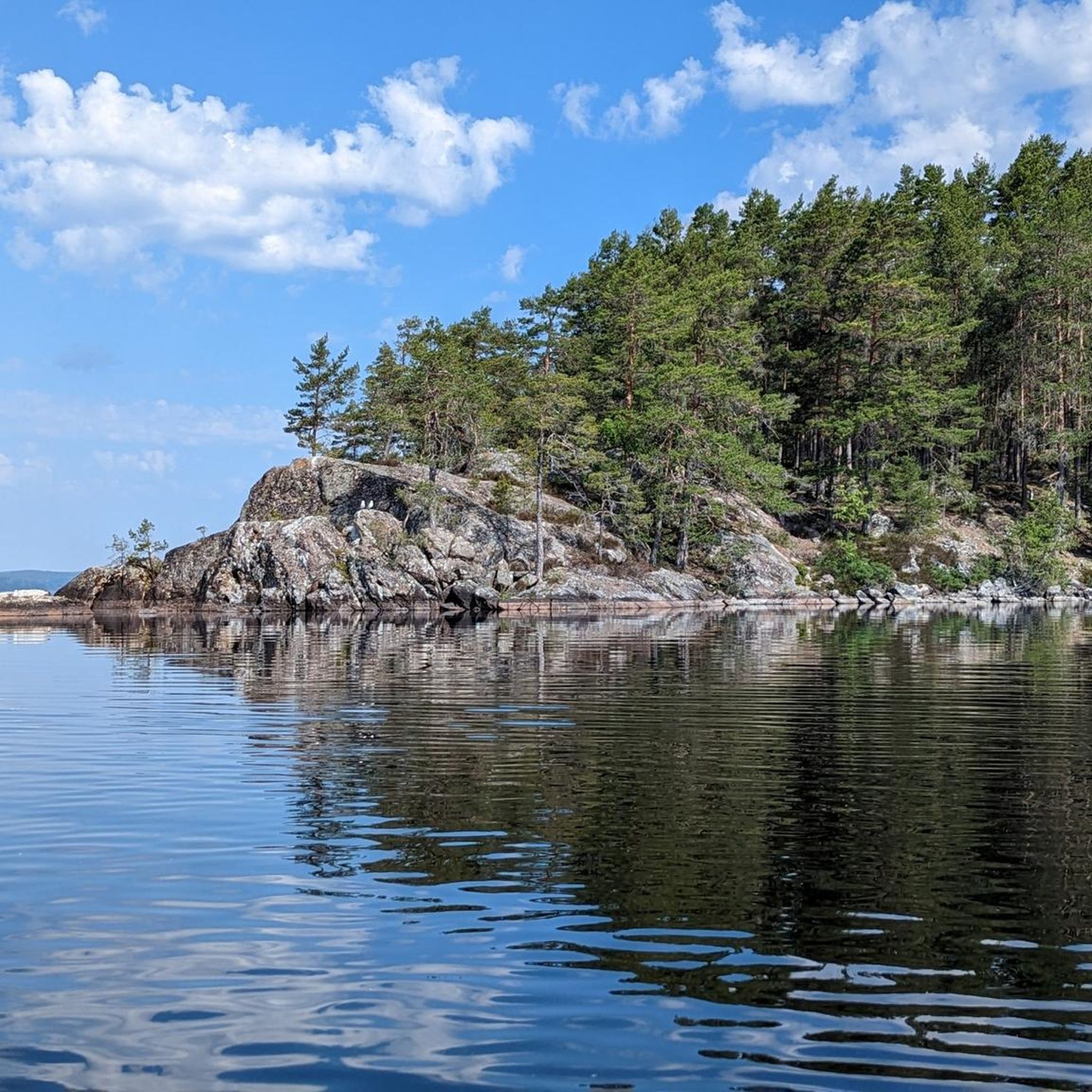
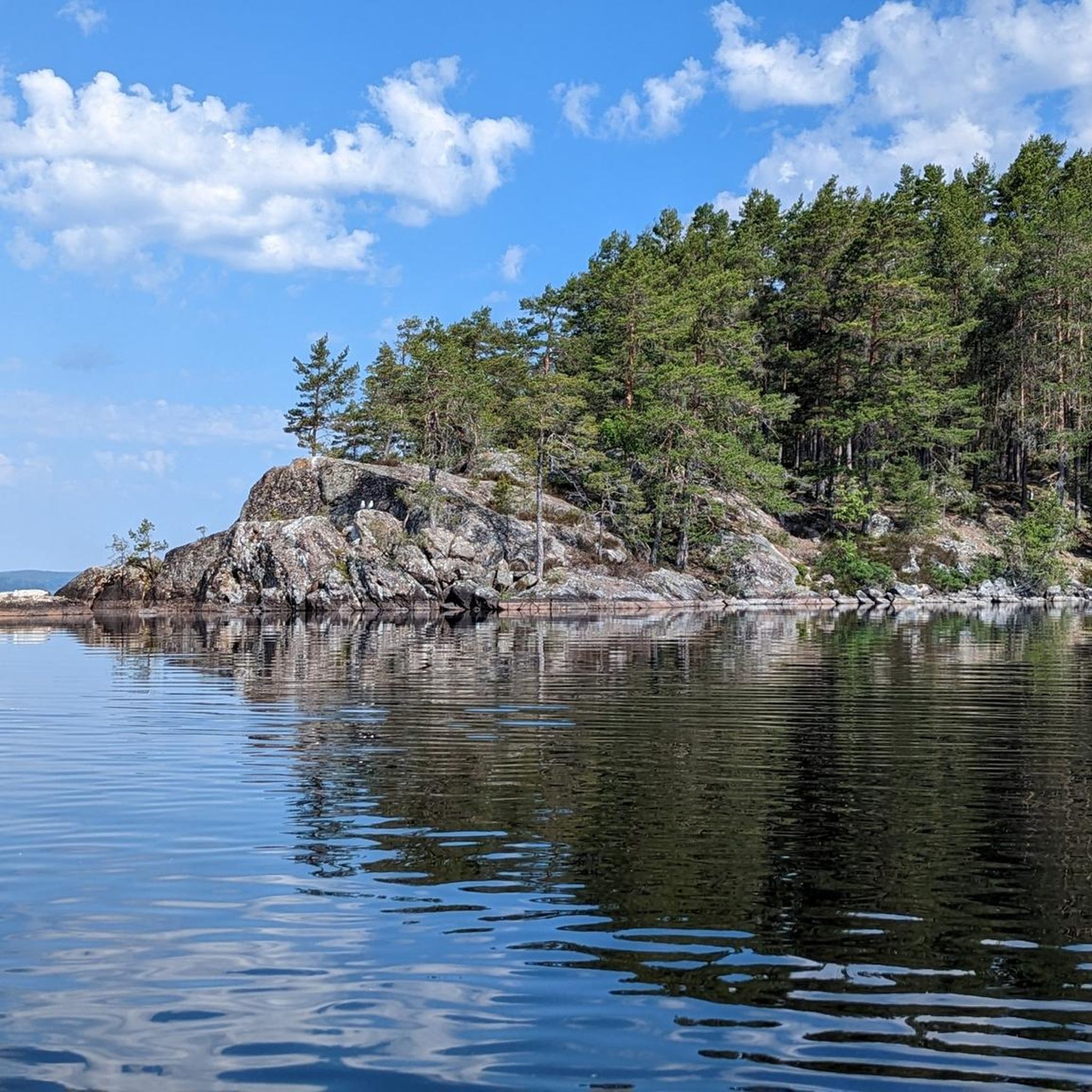
Hiking around Västra Silen offers diverse natural features within an archipelago-like lake system, situated between lakes Lelång and Östra Silen. The landscape is characterized by numerous islands, islets, and skerries, alongside densely forested and rocky shores. Hikers will encounter varied terrain, including cliffs and marshland, contributing to a distinct wilderness atmosphere. The region provides a range of hiking trails with varying elevation changes and conditions.
Best hiking trails around Västra Silen
- The most popular hiking route is Beaver Dam –…
Last updated: June 29, 2026
4.9
(20)
78
hikers
Moderate hike. Good fitness required. Easily-accessible paths. Suitable for all skill levels.
3.7
(7)
17
hikers
Moderate hike. Good fitness required. Easily-accessible paths. Suitable for all skill levels.

Sign up for free
4.5
(2)
14
hikers
5.47km
01:31
100m
100m
Easy hike. Great for any fitness level. Easily-accessible paths. Suitable for all skill levels.
4.6
(5)
12
hikers
Easy hike. Great for any fitness level. Easily-accessible paths. Suitable for all skill levels.
4.5
(4)
10
hikers
9.01km
02:23
90m
90m
Moderate hike. Good fitness required. Easily-accessible paths. Suitable for all skill levels.
Get access to more routes and recommendations from other explorers.
Sign up for free
Already have an account?
Our route recommendations are based on thousands of hikes, rides, and runs completed by other people on komoot.
Start today with a free account
Your next adventure awaits.
Login or Signup
Tips from the Community

Little wooden steps through grass and shallow water
0
0


"JÄTTEN" mural/"THE GIANT" mural, CARATOES, HONG KONG Created in connection with the street art festival Artscape 2017/Created at Artscape 2017
1
0
"SMUG ONE", mural/ "SMUG ONE", mural SMUG, AUSTRALIA Created in connection with the street art festival Artscape 2017/Created at Artscape 2017
0
0
Silbodals kyrka is a church in Årjäng. It was built 1856-1859, the architect C G Blom Carlsson made the drawings of the church which is built in a typical neoclassical style. It was consecrated in 1859 by Bishop Johan Anton Millén.
0
0
Frequently Asked Questions
How many hiking trails are available around Västra Silen?
There are over 35 hiking trails around Västra Silen, offering a variety of experiences. These include 15 easy routes, 18 moderate trails, and 3 more challenging options, catering to different fitness levels.
What kind of terrain can I expect on hikes in Västra Silen?
Västra Silen offers diverse terrain, characterized by an archipelago-like lake environment with numerous islands and skerries. You'll find densely forested and rocky shores, often with cliffs and mountains, alongside unique marshland areas. This combination provides varied scenery and elevation changes.
Are there any easy hiking trails suitable for beginners or families in Västra Silen?
Yes, Västra Silen has 15 easy hiking trails. A great option for all skill levels is the Boardwalk Through Marshland – Beaver Dam loop from Camping Vammerviken, which is 5.9 km long and features an accessible path through wetlands.
Are there any circular hiking routes in Västra Silen?
Many of the trails in Västra Silen are designed as loops, allowing you to start and end at the same point. For example, the Beaver Dam loop from Camping Vammerviken is an easy 5.5 km circular route.
What do other hikers enjoy most about hiking in Västra Silen?
The area is highly rated by the komoot community, with an average score of 4.5 stars from over 140 reviews. Hikers often praise the distinct wilderness atmosphere, the serene lake views, and the diverse natural features like marshlands and forested paths.
Are there any longer or more challenging hikes in the Västra Silen area?
Yes, for those seeking a deeper immersion into the landscape, there are 3 difficult trails and 18 moderate options. A longer moderate route is the Tree Burl and Forest Mushrooms – Abandoned Car in the Forest loop from Vammerviken, which spans 13.3 km with 190m of elevation gain.
Can I bring my dog on the hiking trails in Västra Silen?
Generally, dogs are welcome on trails in Sweden, but it's always best to keep them on a leash, especially during certain seasons to protect wildlife. The wilderness feel of Västra Silen makes it a great place to explore with a well-behaved dog.
What unique natural features can I see while hiking around Västra Silen?
Västra Silen is known for its unique archipelago-like lake environment, dense forests, and rocky shores. Specific trails, like the Beaver Dam – Abandoned Car in the Forest loop from Vammerviken, offer sights of marshland and potential beaver activity, adding to the ecological interest.
Are there good viewpoints or scenic spots along the hiking routes?
The forested and rocky shores, combined with cliffs and mountains surrounding Västra Silen, offer numerous picturesque views of the lake system. The archipelago-like character, especially around Gustavsfors and near Årjäng, provides varied scenery from many vantage points along the trails.
Is there parking available near the trailheads in Västra Silen?
While specific parking details vary by trailhead, many routes, particularly those starting from areas like Vammerviken, are accessible by car. It's common to find designated parking areas near popular starting points, such as camping sites.
What is the best time of year to go hiking in Västra Silen?
The best time for hiking in Västra Silen is typically during the warmer months, from late spring to early autumn (May to September), when the weather is mild and the trails are clear. This period allows for full enjoyment of the diverse landscapes and water activities.
Are there any facilities like picnic areas or public toilets near the trails?
Yes, some trailheads and popular hiking areas around Västra Silen, particularly near camping sites like Camping Vammerviken, offer amenities such as picnic areas and public toilets to enhance the hiking experience.
Most popular routes around Västra Silen

Get inspired with the komoot mobile app


Explore more
Browse the best Hikes in other regions.
