The best road cycling routes in Yakima County
3.0
(1)
181
riders
8
rides
If you've ever tried to plan road cycling in Yakima County, you know how quickly the options can become overwhelming. With so many routes out there, it's tough to tell which ones are genuinely worth your time and effort, and which are just filler. We get it – you want the highlights, not the guesswork. That's exactly why we've put together this guide. Our komoot community has ridden, mapped, and reviewed these routes, so you can trust this curated shortlist to save you the hassle and point you straight to the best experiences.
Road cycling in Yakima County is a unique blend of landscapes. You'll find everything from arid shrub-steppe to lush river corridors, vast agricultural fields bursting with orchards and vineyards, and the dramatic basalt cliffs along the Yakima River. The region truly shines with its diverse terrain, offering everything from easy loops through the valley to challenging mountain ascents in the foothills of the Cascade Mountains. Just a heads-up: many of the higher mountain routes, like those over Chinook Pass, are typically only accessible during the warmer months, so plan your trip accordingly.
If you're looking for a serious challenge with incredible mountain views, we'd start with the Tipsoo Lake – Chinook Pass loop from Crystal Lake Trailhead, a difficult 46.9 miles (75.4 km) route with significant elevation gains that our community loves. For something a bit more relaxed, perfect for a first visit or a scenic cruise through agricultural areas, the easy Myron Lake loop from West Valley at 19.0 miles (30.5 km) is a fantastic choice. With over 180 road cyclists already exploring Yakima County with komoot, you're in good company. Dive in and discover your next favorite ride!
Last updated: June 1, 2026
121
riders
75.4km
04:30
1,650m
1,650m
Hard road ride. Very good fitness required. Some segments of this route may be unpaved and difficult to ride.
25
riders
88.3km
05:02
1,900m
1,900m
Hard road ride. Very good fitness required. Some segments of this route may be unpaved and difficult to ride.

20
riders
74.9km
03:26
800m
800m
Moderate road ride. Good fitness required. Mostly well-paved surfaces and easy to ride.
8
riders
46.2km
02:45
1,010m
1,010m
Hard road ride. Very good fitness required. Some segments of this route may be unpaved and difficult to ride.
3.0
(1)
9
riders
30.5km
01:27
170m
170m
Easy road ride. Great for any fitness level. Mostly well-paved surfaces and easy to ride.
8
riders
48.3km
02:36
930m
930m
Hard road ride. Very good fitness required. Mostly well-paved surfaces and easy to ride.
6
riders
22.9km
01:10
370m
370m
Moderate road ride. Good fitness required. Mostly well-paved surfaces and easy to ride.
Our route recommendations are based on thousands of hikes, rides, and runs completed by other people on komoot.
Start today with a free account
Your next adventure awaits.


Other adventures in Yakima County

Tips from the Community

A great way to get up close and personal with the glaciers and high alpine environment of Mt Rainier.
0
0

Beautiful hike. Crowded. Make sure you bring water as there is no where to fill up. Not even visitor center. No restrooms. Just overstuff porta potties. Come early. Parking difficult. We got here at 310 pm and found some. But there’s a lot of people. We waiting in line to get into park 1 hour! They need a better system!
0
0

Great trail with amazing views of the surrounding mountains and Mt. Rainier.
0
0

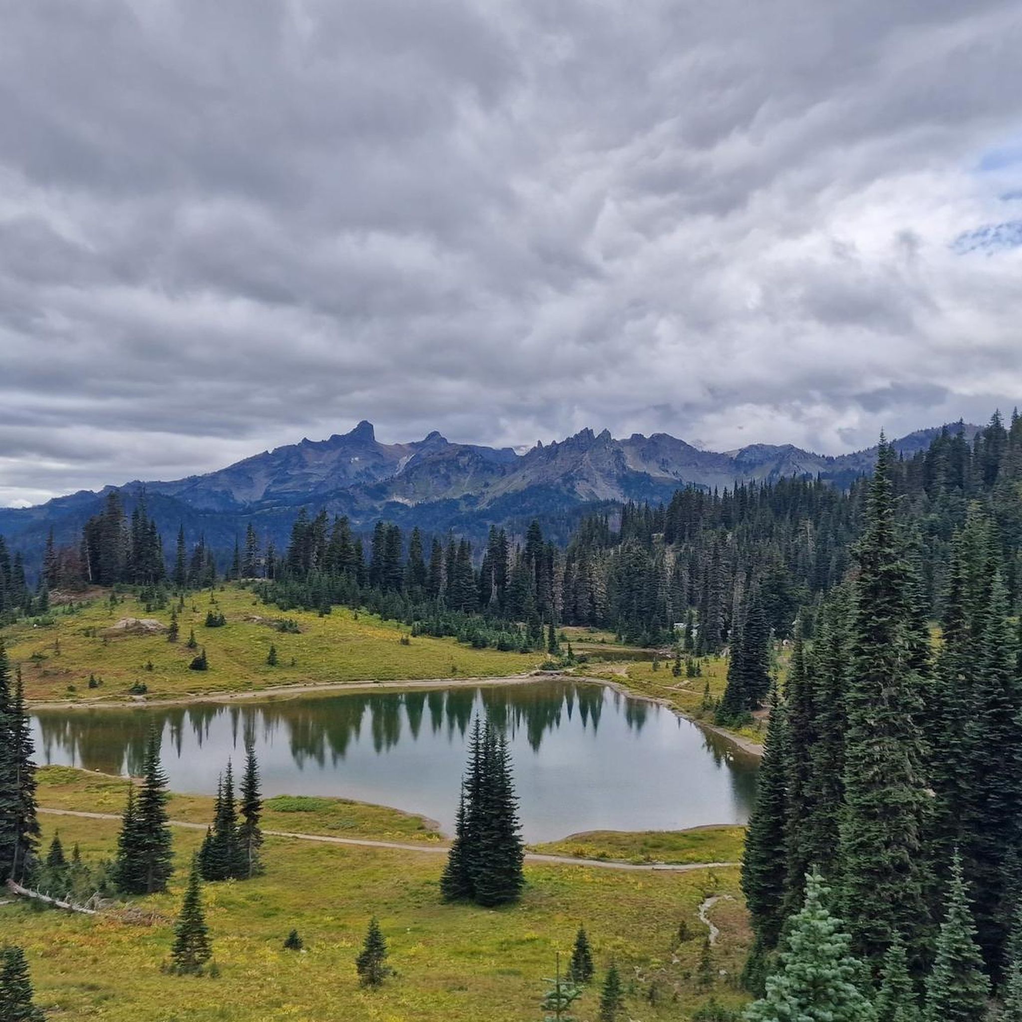
One of the most impressive view points to see Mount Rainier. During sunrise and sunset, when there's no wind or rain, this lake right by the park road reflects the mountain in all of its majesty.
0
0

Box Canyon is a narrow, dramatic gorge carved by the Muddy Fork of the Cowlitz River. It’s a quick but impressive stop along the Wonderland Trail, with a footbridge offering a dizzying view into the deep slot canyon below.
0
0
White River Campground is a convenient stop or overnight spot, especially for those breaking up the Wonderland Trail into stages. With road access, it’s a good place to cache food in one of the bear boxes or meet a friend for resupply. It also serves as a trailhead for several routes. The campground has reliable water, composting toilets, picnic tables, and plenty of flat ground to rest. It sits close to the trail, making it easy to continue the next morning without adding extra mileage. It can get crowded in summer, so plan your resupply accordingly or avoid the peak season. From July 11 to mid-October 2025, timed entry is required to access the Sunrise Corridor (which includes this campground) between 7 am and 5 pm. If you secure a campsite before 7 am, your permit can be used in place of a timed entry pass for the rest of your stay. Plan ahead, as both campsite and entry availability are not guaranteed.
0
0
Riding to Sunrise Visitor Center is a great challenge you can take on early in the morning to enjoy hiking some of the park’s trails and take in awesome views on the way up or down. Rangers can provide trail information and maps, and exhibits focus on the geology and natural history of the park’s northeast region.
0
0
From Sunrise Park Road you get breathtaking views of Mt. Rainier and Mt. Adams, two powerful mountains covered with a glacier blanket and surrounded by forest.
0
0
Frequently Asked Questions
What kind of terrain can I expect on road cycling routes in Yakima County?
Yakima County offers a diverse range of terrain for road cyclists. You'll find routes traversing arid shrub-steppe, lush river corridors, and the foothills of the Cascade Mountains. Expect dramatic basalt cliffs along the Yakima River, extensive agricultural lands with orchards and vineyards, and varied elevations that provide a range of experiences from gentle rolls to challenging ascents.
Are there road cycling routes suitable for beginners or families in Yakima County?
Yes, Yakima County has routes suitable for various skill levels, including easier options. For a gentler ride, consider the Myron Lake loop from West Valley, which is 19.0 miles (30.5 km) and leads through agricultural areas. The Yakima Greenway also offers a paved pathway along the Yakima River, ideal for families and casual rides.
What are some challenging road cycling routes for experienced riders?
For experienced cyclists seeking a challenge, Yakima County offers routes with significant elevation gains and mountain views. The Tipsoo Lake – Chinook Pass loop from Crystal Lake Trailhead is a difficult 46.9-mile (75.4 km) route with substantial climbing. Another demanding option is the Paradise Visitor Center – Paradise Inn loop from Shriner Peak Trailhead, which is 80.7 miles (129.9 km) and features over 1600 meters of elevation gain.
What scenic attractions can I see along road cycling routes in Yakima County?
Many routes offer stunning natural beauty. The Yakima River Canyon Scenic Byway (State Route 821) is particularly popular for its towering basalt cliffs and the meandering Yakima River. You can also find routes that wind through the region's rich farmland, passing apple orchards, vineyards, and hop fields. For specific viewpoints, consider routes near Dewey Lakes Overlook or those offering a View of Mount Rainier.
Are there any loop routes available for road cycling?
Yes, many road cycling routes in Yakima County are designed as loops, offering varied scenery without retracing your path. Examples include the Camp Five Hill loop from Conboy Lake National Wildlife Refuge, a moderate 46.5-mile (74.9 km) path, and the easier Myron Lake loop from West Valley. For mountain scenery, the Chinook Pass – Cayuse Pass loop from Corral Pass Road Trailhead is a challenging option.
What is the best time of year for road cycling in Yakima County?
The spring and fall seasons generally offer the most pleasant conditions for road cycling in Yakima County, with milder temperatures and beautiful scenery, such as spring wildflowers or autumn foliage in the agricultural areas. Summer can be hot, especially in the valley, but higher elevation routes in the Cascades become accessible and offer cooler temperatures. Winter can bring snow to higher passes, limiting access.
Are there any dog-friendly cycling options in Yakima County?
While specific road cycling routes may not always be ideal for dogs due to traffic or paved surfaces, the Yakima Greenway is a multi-use paved pathway where leashed dogs are generally welcome. For off-road options, the Cowiche Canyon Conservancy, which is just outside Yakima, offers trails where dogs are permitted, though these are more suited for mountain biking or hiking.
What are the typical distances and durations for road cycling routes in the area?
Road cycling routes in Yakima County vary significantly in length and duration. You can find shorter, easier loops like the Myron Lake loop from West Valley, which is about 19 miles (30.5 km) and takes around 1 hour 25 minutes. Longer, more challenging routes, such as the Tipsoo Lake – Chinook Pass loop, can be over 46 miles (75 km) and take 4 hours 30 minutes or more to complete, depending on your pace and elevation gain.
Where can I find parking for road cycling routes in Yakima County?
Parking availability varies by route. For routes accessing mountain passes, trailheads like Crystal Lake Trailhead or Corral Pass Road Trailhead typically offer designated parking. For routes along the Yakima Greenway, there are various access points with parking lots along its 18-mile stretch. When planning your ride, it's always recommended to check the specific route details for parking information.
What do other road cyclists say about their experience in Yakima County?
The road cycling routes in Yakima County are highly rated by the komoot community, with an average score of 3.0 stars. Cyclists often praise the varied terrain, from scenic river canyons to agricultural fields and mountain foothills, providing a diverse and engaging riding experience for all ability levels.
Are there any notable mountain passes accessible by road bike in Yakima County?
Yes, Yakima County provides access to several significant mountain passes that are popular for road cycling. Chinook Pass and White Pass are prominent scenic byways that offer challenging climbs and spectacular views of the Cascade Mountains. Routes like the Chinook Pass – Cayuse Pass loop are excellent for experiencing these high-elevation roads.
Can I combine road cycling with other outdoor activities in the region?
Absolutely! Yakima County is an outdoor enthusiast's paradise. After a road ride, you can explore the Cowiche Canyon Conservancy for hiking or mountain biking, or enjoy water activities like fishing, rafting, or kayaking on the Yakima River. The region's proximity to the Cascade Mountains also means opportunities for hiking and winter sports.
Most popular attractions in Yakima County

Get inspired with the komoot mobile app


Didn’t find what you were looking for?
Check out more Road cycling routes throughout Yakima County below and find the perfect route in your destination.
Explore more
Browse the best Road cycling routes in other regions.
