The best road cycling routes in Kenai Peninsula Borough
118
riders
10
rides
Road cycling in Kenai Peninsula Borough offers diverse terrain across mountains, glaciers, rivers, and coastlines. The region features extensive wilderness areas, including the Kenai National Wildlife Refuge, and significant glacial formations like the Harding Icefield. Paved pathways and local roads provide opportunities for cycling through varied landscapes, from forested areas to scenic coastal routes. The elevation profiles range from gentle river valleys to more undulating mountain foothills.
Best road cycling routes in Kenai Peninsula Borough
- The most popular road cycling…
Last updated: July 7, 2026
40
riders
48.5km
02:01
330m
330m
Moderate road ride. Good fitness required. Mostly well-paved surfaces and easy to ride.
6
riders
37.5km
01:35
200m
200m
Easy road ride. Great for any fitness level. Mostly well-paved surfaces and easy to ride.

Sign up for free
12
riders
36.8km
01:43
120m
120m
Easy road ride. Great for any fitness level. Mostly well-paved surfaces and easy to ride.
8
riders
37.6km
01:48
110m
110m
Moderate road ride. Great for any fitness level. Some segments of this route may be unpaved and difficult to ride.
6
riders
43.6km
02:16
300m
300m
Moderate road ride. Good fitness required. Some segments of this route may be unpaved and difficult to ride.
Get access to more routes and recommendations from other explorers.
Sign up for free
Already have an account?
Our route recommendations are based on thousands of hikes, rides, and runs completed by other people on komoot.
Start today with a free account
Your next adventure awaits.
Login or Signup
Other adventures in Kenai Peninsula Borough

Tips from the Community


Although the Kincaid Chalet (sometimes called the Kincaid Outdoor Center) can be rented out for public events, it's usually open to the public as a place to warm up or dry off from your recreational efforts. With plentiful parking available, it's a great place to either start or finish a bike ride. More information on the chalet is available here: https://www.muni.org/Departments/parks/Pages/Kincaid.aspx
1
0
This is the universal starting point for all three of the Andrew Lekisch loops: There are 2.9k, 5k and 7.5k versions that all start from here, although according to my GPS those distances are all more approximate than they sound. With that said, all three trails are lovely for running, with good footing on broad, grassy trails and keep brush from creeping in too close. These trials all become groomed, ski-only routes during the winter, but you can run on them as long as long as the trail is snow-free and dry. You also benefit from the much-improved directional signs that give you options for each loop length, and the same hills that make these such a fun place to ski mean you'll get a good burn going when you run, too.
0
0
At this point the Raspberry Multi-Use Trail has departed Kincaid Park and passes through what feels like a suburban area. It still runs alongside the same road (now called Raspberry Road), and continues to have the same paved surface and frequent, rolling hills that you'll feel, but are still manageable.
1
0

This state park features scenic trails along the bay and through the hills. It's a perfect spot to relax, enjoy a picnic, and take in the beautiful surroundings. Chugach State Park is the third-largest state park in the United States, covering an area of over 495,000 acres.
0
0
This trail goes alongside the road next to Turnagain Arm. It's 13 miles long and great for biking, running, or walking. You'll see beautiful views of the water and mountains. The pathway passes by Chugach State Park and offers a chance to spot wildlife like whales and mountain goats. You can learn about the area's geology from signs along the trail. Plus, it connects to other paths in Girdwood, Bird, and Indian. There are places to rest and have a picnic too.
0
0
This rest stop along the bayfront provides educational displays recounting the impactful 1964 earthquake. The quake submerged the initial Girdwood townsite, leading to its relocation. The earthquake triggered a massive tsunami that caused extensive damage and loss of life along the Pacific Ocean coast, including Alaska, Hawaii, and North America's west coast. Tsunami waves reached heights of over 100 feet (30 meters) in some areas.
0
0
Stunning viewpoint along the paved road that hugs the Turnagain Arm. While journeying along the route, the breathtaking panorama of The Kenai Mountains and its splendid tapestry of mountains, lakes, rivers, and fjords unfolds before your eyes.
0
0
Frequently Asked Questions
How many road cycling routes are available in Kenai Peninsula Borough?
Komoot features over a dozen road cycling routes in the Kenai Peninsula Borough, offering a variety of experiences across its diverse landscapes. These routes cater to different skill levels, from easy rides to more moderate challenges.
What kind of terrain can I expect on road cycling routes in Kenai Peninsula Borough?
The Kenai Peninsula Borough offers varied terrain for road cycling, characterized by glacial valleys, majestic mountain backdrops, and scenic coastal paths. You'll find routes ranging from gentle river valleys to more undulating mountain foothills, with well-maintained paved pathways and local roads.
Are there any easy road cycling routes suitable for beginners or families?
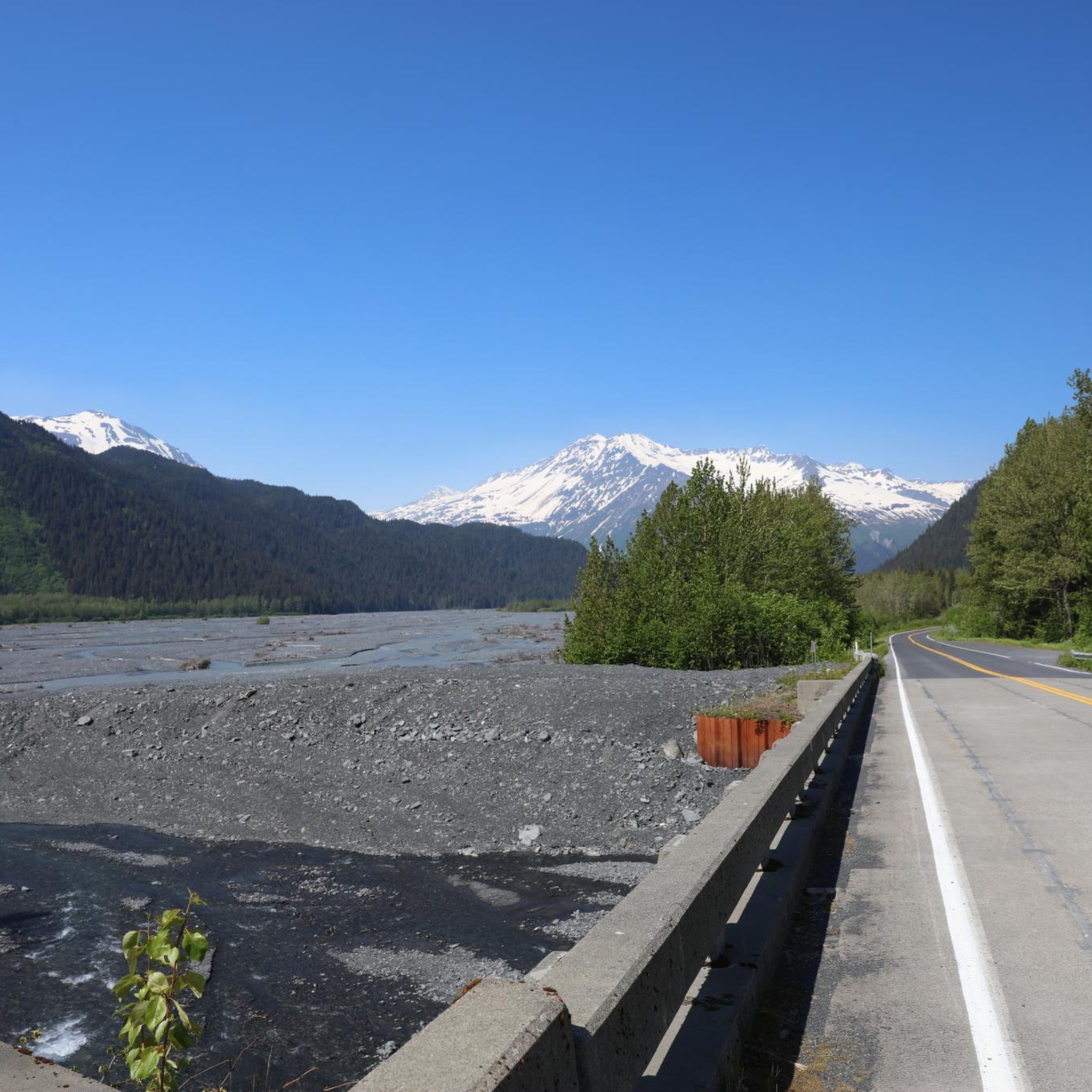
Yes, the Kenai Peninsula Borough has several easy road cycling routes perfect for beginners or families. For example, the Seward Highway & Exit Glacier Road is an easy 37.5 km path that provides access to stunning glacial landscapes. Another great option is the Roadbike loop from Soldotna, an easy 35.08 km route.
Which routes offer the most scenic views or natural features?
Many routes in the Kenai Peninsula Borough are incredibly scenic. The Bird to Gird Pathway, a 48.5 km moderate trail, offers breathtaking views along Turnagain Arm. For glacial scenery, the Seward Highway & Exit Glacier Road leads you through glacial landscapes and mountain vistas, with access to the famous Exit Glacier.
Are there any loop routes for road cycling in the area?
Yes, there are several excellent loop routes. The Wolverine Trailhead loop from Kenai is an easy 36.9 km route that takes you through local roads and forested areas. Another moderate option is the Kincaid Park hill – View of Cook Inlet loop from Pollock Homestead, which covers 51.26 km and offers views of Cook Inlet.
Can I see wildlife while road cycling in Kenai Peninsula Borough?
The Kenai Peninsula is renowned for its abundant wildlife. While road cycling, you have opportunities to spot eagles, moose, and various marine animals, especially along coastal routes or near rivers. The region is part of the Kenai National Wildlife Refuge, increasing your chances of wildlife encounters. For specific viewing opportunities, consider visiting the Russian River Falls Bear Viewing area.
What are some notable natural landmarks or viewpoints along the routes?
The Kenai Peninsula is rich in natural landmarks. Along your rides, you might encounter the impressive Exit Glacier, part of the Harding Icefield. Other notable viewpoints include the Harding Icefield Viewpoint and the Baycrest Overlook Homer, offering panoramic vistas. You can also discover beautiful waterfalls like Juneau Creek Falls.
Are there any routes that pass by lakes?
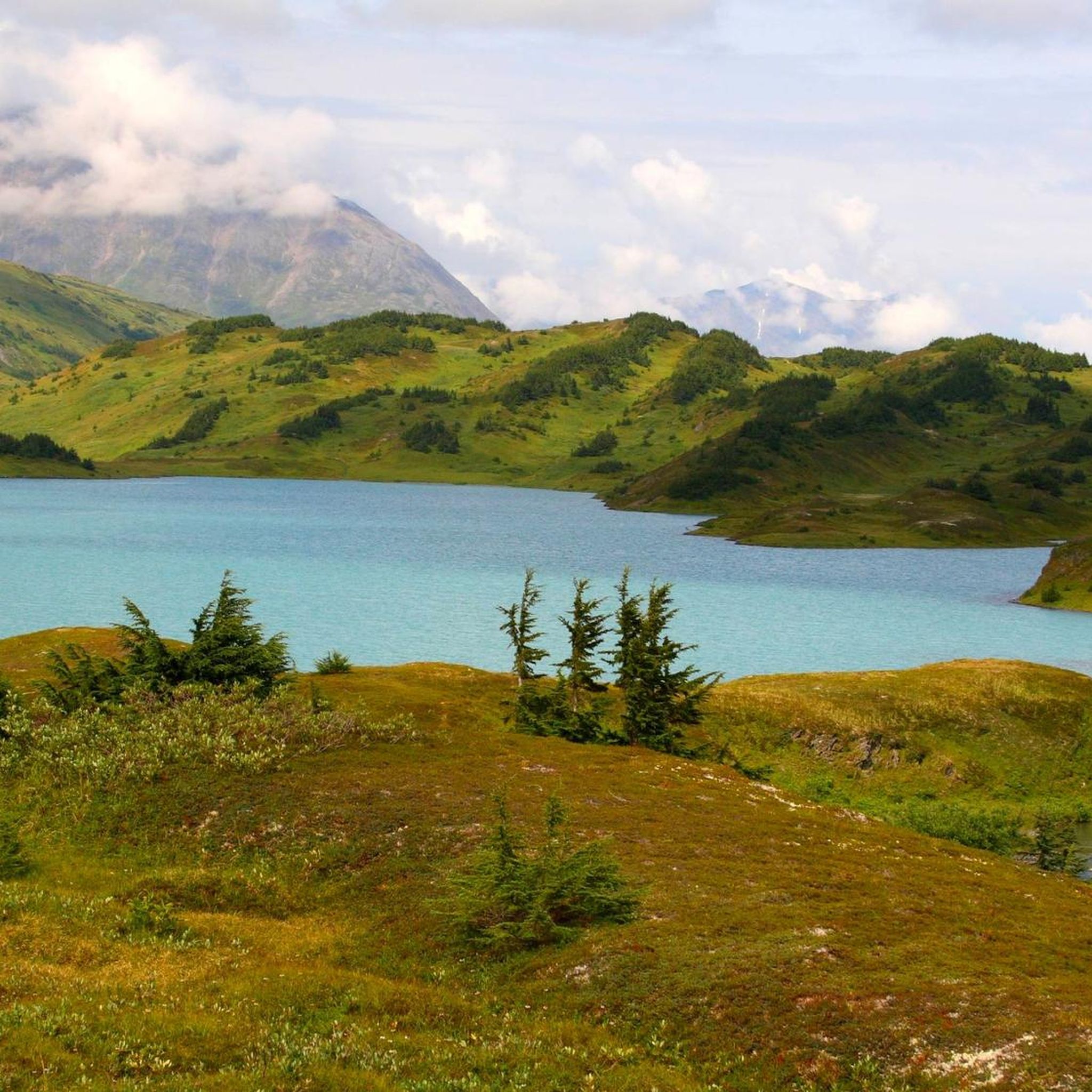
Yes, the region features several beautiful lakes. While specific road cycling routes might not directly hug every lake, many are accessible nearby. You can explore areas around Headquarters Lake, Grewingk Lake, or Lost Lake, which are popular highlights in the Kenai Peninsula Borough.
What is the best time of year for road cycling in Kenai Peninsula Borough?
The best time for road cycling in the Kenai Peninsula Borough is typically during the summer months, from late May to early September. During this period, the weather is milder, daylight hours are long, and most roads and trails are free of snow and ice, offering optimal conditions for exploring the region's stunning landscapes.
Are there any specific paved pathways for cycling?
Yes, the Kenai Peninsula offers well-maintained paved pathways. The Unity Trail, connecting Soldotna and Kenai, is a notable example, and when combined with local roads, it forms a scenic loop. The Bird to Gird Pathway, mentioned earlier, is also an excellent paved option with spectacular views.
What do other road cyclists enjoy most about cycling here?
Road cyclists often praise the Kenai Peninsula Borough for its unparalleled natural beauty and diverse landscapes. They particularly enjoy the scenic coastal routes, the majestic mountain backdrops, and the opportunities to witness glaciers and abundant wildlife. The variety of routes, from easy paved paths to more challenging climbs, also contributes to its appeal.
Most popular routes in Kenai Peninsula Borough
Most popular attractions in Kenai Peninsula Borough

Get inspired with the komoot mobile app


Didn’t find what you were looking for?
Check out more Road cycling routes throughout Kenai Peninsula Borough below and find the perfect route in your destination.
Explore more
Browse the best Road cycling routes in other regions.
