The best road cycling routes in Jo Daviess County
100
riders
24
rides
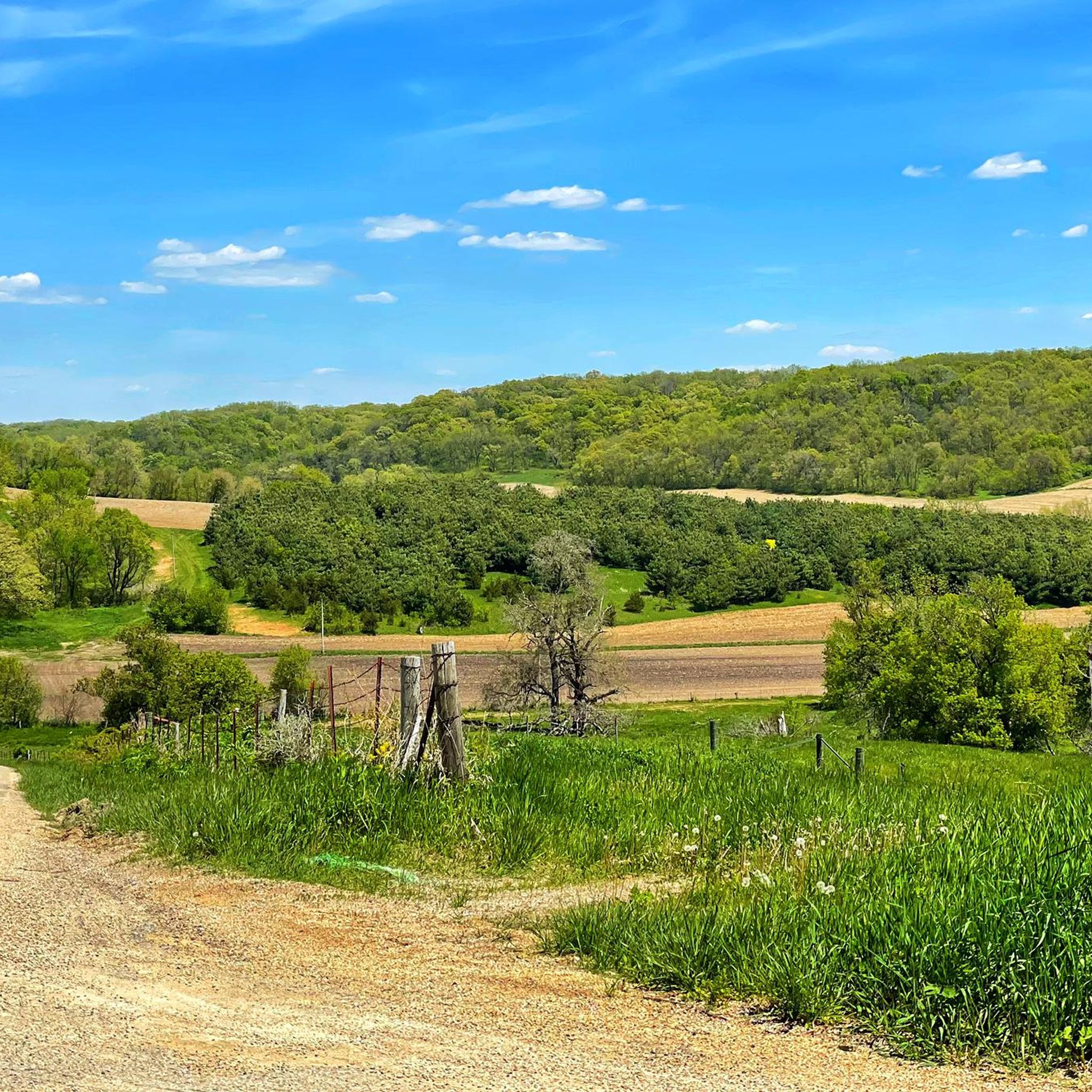
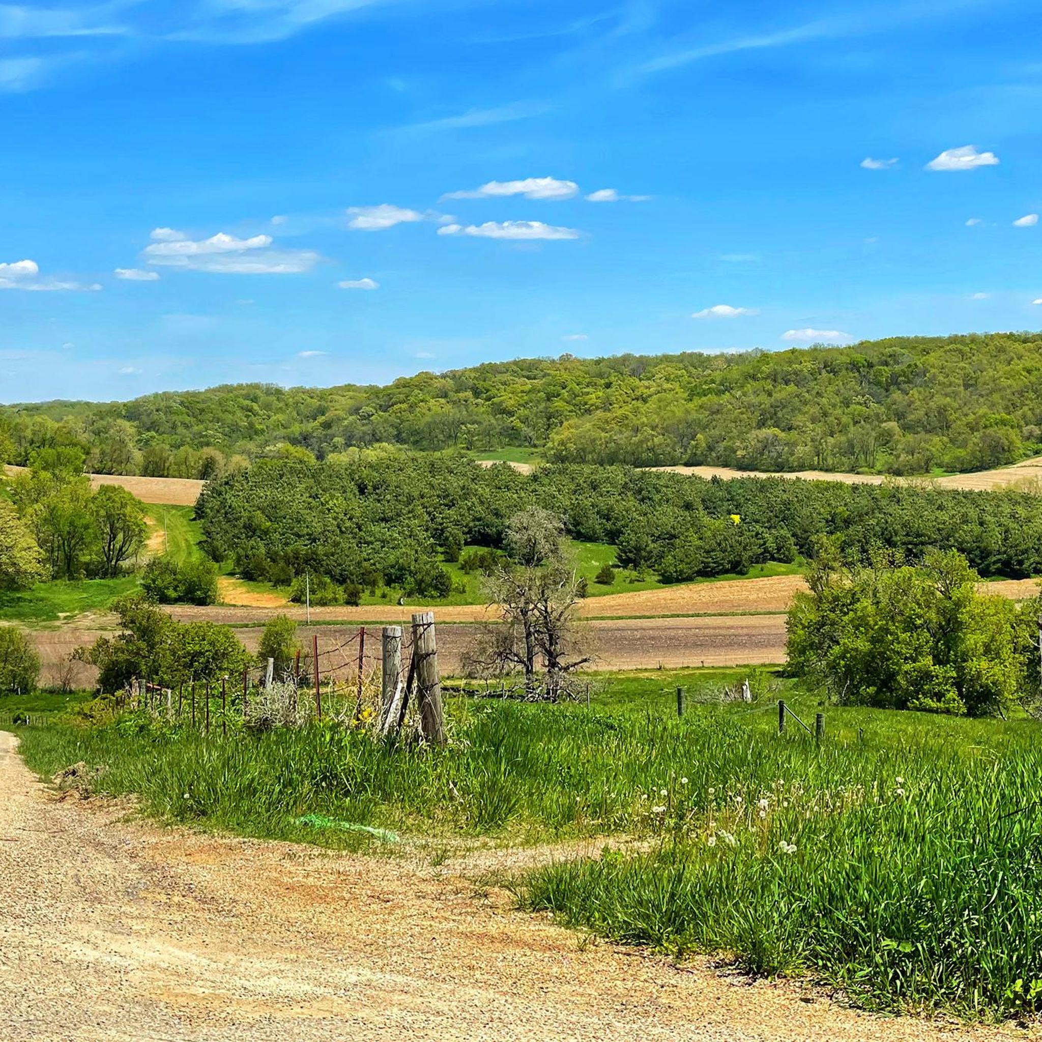
Road cycling in Jo Daviess County is characterized by its hilly terrain within the unglaciated Driftless Region, offering extensive valley views and ridge-top panoramas. The landscape features undulating hills, river valleys, and dramatic limestone bluffs, particularly along the Mississippi River which forms the county's western border. This region provides challenging routes with significant elevation changes, alongside more gentle options on paved roads.
Best road cycling routes in Jo Daviess County
- The most popular road cycling route is Lost Mound –…
Last updated: June 28, 2026
13
riders
Hard road ride. Very good fitness required. Some segments of this route may be unpaved and difficult to ride.
9
riders
Moderate road ride. Good fitness required. Mostly well-paved surfaces and easy to ride.

Sign up for free
8
riders
42.5km
03:09
570m
570m
Moderate road ride. Good fitness required. Mostly well-paved surfaces and easy to ride.
4
riders
39.1km
02:04
530m
530m
Moderate road ride. Good fitness required. Mostly well-paved surfaces and easy to ride.
Moderate road ride. Good fitness required. Mostly well-paved surfaces and easy to ride.
5
riders
26.7km
01:33
380m
380m
Moderate road ride. Good fitness required. Mostly well-paved surfaces and easy to ride.
6
riders
70.0km
04:07
760m
770m
Moderate road ride. Good fitness required. Some segments of this route may be unpaved and difficult to ride.
3
riders
66.1km
03:37
780m
780m
Moderate road ride. Good fitness required. Mostly well-paved surfaces and easy to ride.
3
riders
24.3km
01:12
210m
210m
Easy road ride. Great for any fitness level. Mostly well-paved surfaces and easy to ride.
5
riders
57.3km
02:40
520m
520m
Moderate road ride. Good fitness required. Mostly well-paved surfaces and easy to ride.
Get access to more routes and recommendations from other explorers.
Sign up for free
Already have an account?
Our route recommendations are based on thousands of hikes, rides, and runs completed by other people on komoot.
Start today with a free account
Your next adventure awaits.
Login or Signup
Popular around Jo Daviess County




Tips from the Community


The Heritage Trail stretches 26 miles through the scenic countryside of Dubuque County, following a former railroad line between Dubuque and Dyersville. Ideal for biking, walking, or cross-country skiing, it winds past wooded bluffs, open farmland, and the Little Maquoketa River.
0
0

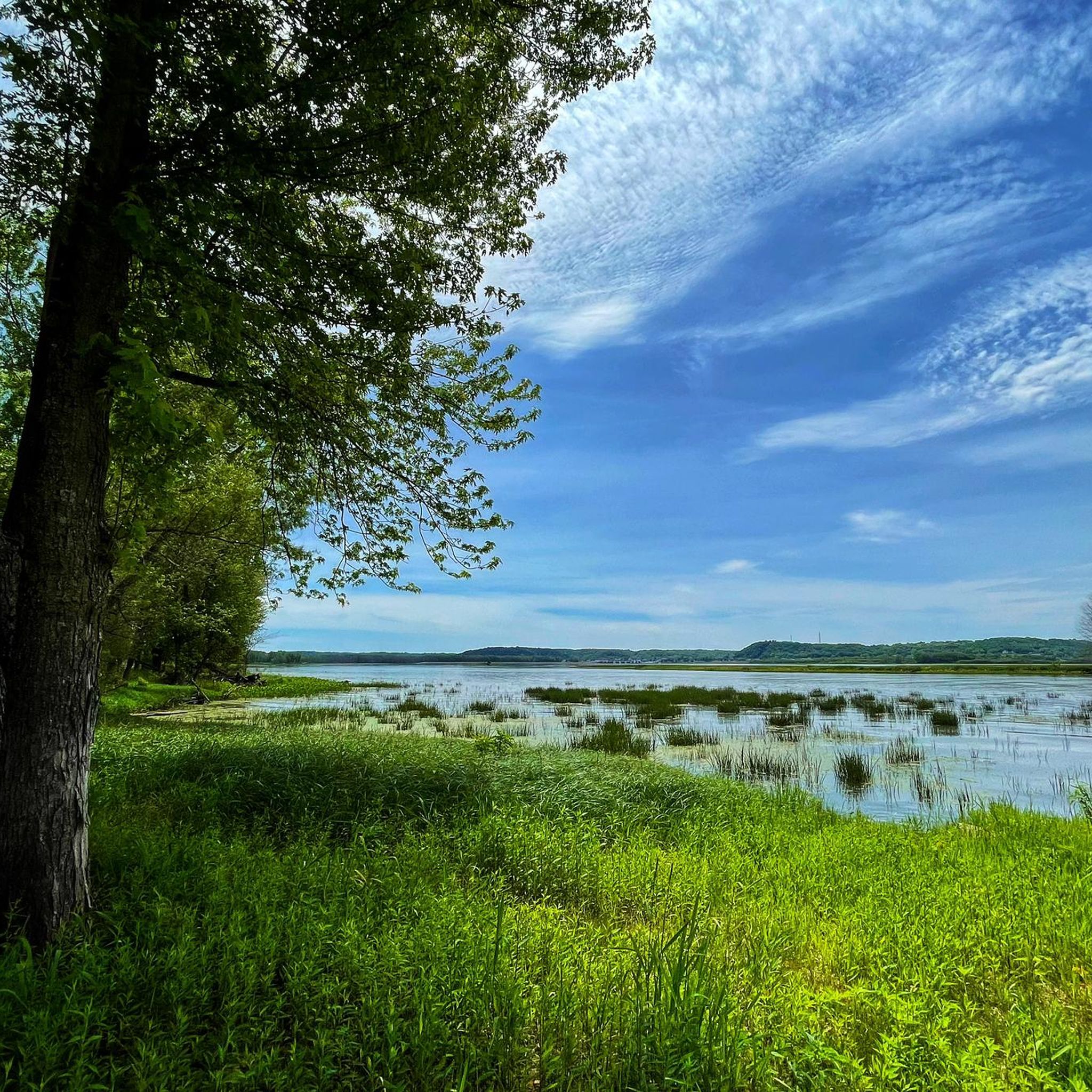
The trails wind through rolling hills, dense forests, and along the Mississippi River, offering breathtaking views of the surrounding landscape.
0
0
This is a good place to take a break. The main trail is a 1.5-mile loop that takes you to the top of the bluffs for panoramic views of the river. There are also shorter trails that lead to overlooks and historical sites. You'll have to leave your bike here to enjoy the area.
1
0

Get ready for a long steep climb over loose gravels. Very beautiful forest scenery.
0
0

The lake was created in the 1970's but the spillway design cascades elegantly over the strata of ancient limestone. Take a breather on the catwalk.
0
0
No cobbles, but Fall color magic abounds. Maple tree canopy turns golden in fall. Steep ascent will make it seem longer. Also, if you turn around, good view of the valley behind.
0
0
Frequently Asked Questions
What kind of terrain can I expect on road cycling routes in Jo Daviess County?
Jo Daviess County is part of the unglaciated Driftless Region, meaning you'll encounter a distinctly hilly landscape with undulating hills, river valleys, and dramatic limestone bluffs. Routes often feature significant elevation changes, offering challenging climbs and rewarding ridge-top panoramas and extensive valley views. Many roads are low-traffic and fully paved.
Are there road cycling routes suitable for beginners or those seeking an easier ride?
Yes, while the region is known for its challenging hills, there are easier options. For instance, the Heritage Pond loop from Saint Thomas of Canterbury Church is an easy 21.9-mile route that leads through the county's rolling landscape. The 13.7-mile Heritage Trail, a rail-to-trail conversion, also provides gentle grades and scenic views, much of it on paved surfaces.
What are some of the more challenging road cycling routes in Jo Daviess County?
For experienced cyclists seeking a challenge, routes like the Lost Mound – Pilot Knob loop from Galena offer a substantial 77.8-mile ride with significant elevation gain. Another difficult option is the South Devils Ladder Road – Tough Climbing on Forest Path and Gravel loop from Elizabeth, a 65.0-mile path that includes tough climbs and some gravel sections.
Are there any scenic viewpoints or landmarks along the road cycling routes?
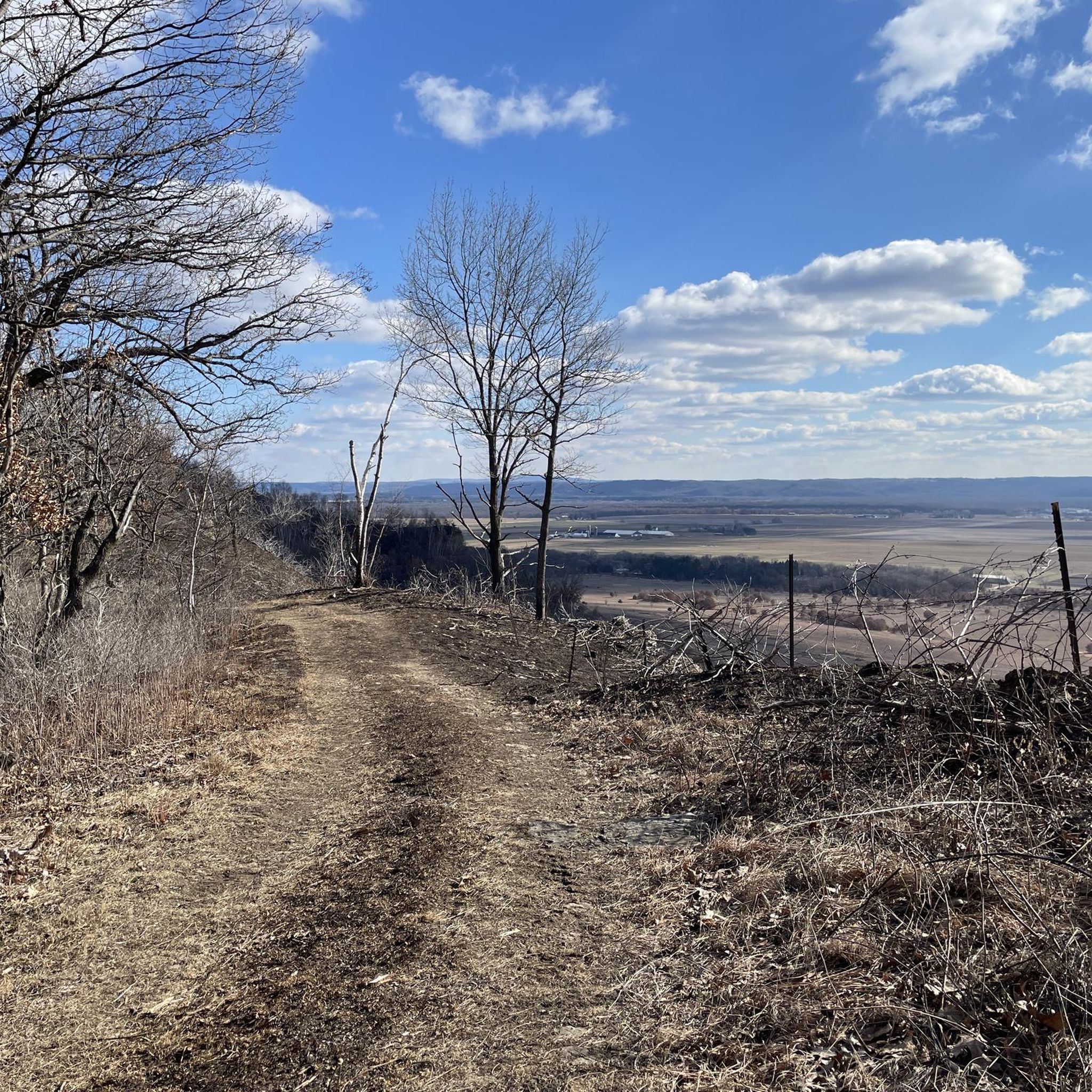
Absolutely. The hilly terrain provides numerous opportunities for panoramic views, especially from ridge-tops. Horseshoe Mound Preserve offers some of the highest elevations in the area with views stretching into Iowa and Wisconsin. The Mississippi River, forming the county's western border, also provides scenic vistas, particularly along the Great River Road. You can also explore charming towns like Galena and Elizabeth.
Can I find circular road cycling routes in the area?
Yes, many of the routes in Jo Daviess County are designed as loops, allowing you to start and end in the same location. Examples include the Heritage Pond loop from Saint Thomas of Canterbury Church, the Thunder Bay Falls loop from Lake Galena, and the Lost Mound – Pilot Knob loop from Galena.
What is the best time of year for road cycling in Jo Daviess County?
The spring and fall seasons are particularly popular for road cycling in Jo Daviess County. Spring offers lush greenery and comfortable temperatures, while fall provides spectacular views of vibrant autumn colors cascading down the bluffs, especially along the Mississippi River. Summer can be enjoyable, but be prepared for warmer temperatures.
Are there any family-friendly cycling options in Jo Daviess County?
For families, the 13.7-mile Heritage Trail is an excellent choice, offering gentle grades and scenic views on mostly paved surfaces. The Galena River Trail, an 8-mile (one-way) path along the Galena and Mississippi Rivers, is also suitable for families, featuring rock bluffs and historic mining adits.
Where can I find information about parking and trailheads for road cycling routes?
Many routes start from towns like Galena or Elizabeth, where public parking is generally available. For specific trailheads, it's recommended to check the individual route details on komoot, as they often indicate starting points and potential parking areas. The greenways and trails plan for Jo Daviess County also outlines efforts to connect recreational areas, which may include designated access points.
What kind of natural features can I explore near the cycling routes?
The region's unglaciated landscape means you can explore dramatic limestone bluffs, deep ravines, springs, and streams, particularly within Apple River Canyon State Park. The Jo Daviess Conservation Foundation also manages numerous preserves with access to scenic hiking trails, prairies, forests, and wetlands, offering additional outdoor exploration opportunities.
Are there any amenities like cafes or pubs near the cycling routes?
The charming towns of Galena and Elizabeth serve as excellent hubs for cyclists, offering a variety of cafes, restaurants, and pubs where you can refuel and relax after a ride. Galena, in particular, is known for its historic downtown and walkable streets, making it a popular starting point with ample amenities.
How many road cyclists have explored Jo Daviess County using komoot?
Over 90 road cyclists have used komoot to explore the varied terrain of Jo Daviess County, indicating a strong community interest in the region's cycling opportunities.
Does Jo Daviess County have a plan for future trail development?
Yes, Jo Daviess County has a greenways and trails plan that aims to connect natural, historic, and recreational areas. This plan identifies scenic routes and supports quality outdoor experiences for both residents and visitors, indicating ongoing development and improvement of the region's outdoor infrastructure. More details can be found in the Jo Daviess County Greenways and Trails Plan.

Get inspired with the komoot mobile app


Didn’t find what you were looking for?
Check out more Road cycling routes throughout Jo Daviess County below and find the perfect route in your destination.
Explore more
Browse the best Road cycling routes in other regions.
