The best cycling routes in Mills County
4.9
(16)
208
riders
12
rides
Touring cycling in Mills County offers diverse terrain, from the dramatic Loess Hills to the flat Missouri River floodplain. The region is characterized by unique wind-deposited silt formations, creating challenging climbs and scenic descents. Extensive trail systems, including the Wabash Trace Nature Trail, provide varied cycling experiences through rural landscapes and mature hardwood forests.
Best touring cycling routes in Mills County
- The most popular touring cycling route is Wabash Trace Trail – Tobey Jack's Steakhouse loop from Saint Paul Evangelical…
Last updated: May 21, 2026
5.0
(3)
57
riders
Moderate bike ride. Good fitness required. Mostly paved surfaces. Suitable for all skill levels.
5.0
(3)
52
riders
34.8km
03:10
200m
200m
Moderate bike ride. Good fitness required. Mostly paved surfaces. Suitable for all skill levels.

Sign up for free
4.5
(2)
15
riders
36.6km
02:13
80m
80m
Moderate bike ride. Good fitness required. Mostly paved surfaces. Suitable for all skill levels.
5.0
(2)
13
riders
Easy bike ride. Great for any fitness level. Mostly paved surfaces. Suitable for all skill levels.
5.0
(2)
14
riders
Moderate bike ride. Good fitness required. Mostly paved surfaces. Suitable for all skill levels.
5.0
(2)
10
riders
31.5km
02:26
120m
120m
Moderate bike ride. Good fitness required. Mostly paved surfaces. Suitable for all skill levels.
10
riders
Moderate bike ride. Good fitness required. Mostly paved surfaces. Suitable for all skill levels.
8
riders
Moderate bike ride. Good fitness required. Mostly paved surfaces. Suitable for all skill levels.
8
riders
13.9km
01:14
70m
70m
Easy bike ride. Great for any fitness level. Mostly paved surfaces. Suitable for all skill levels.
7
riders
Moderate bike ride. Good fitness required. Mostly paved surfaces. Suitable for all skill levels.
Get access to more routes and recommendations from other explorers.
Sign up for free
Already have an account?
Our route recommendations are based on thousands of hikes, rides, and runs completed by other people on komoot.
Start today with a free account
Your next adventure awaits.
Login or Signup
Popular around Mills County

Tips from the Community

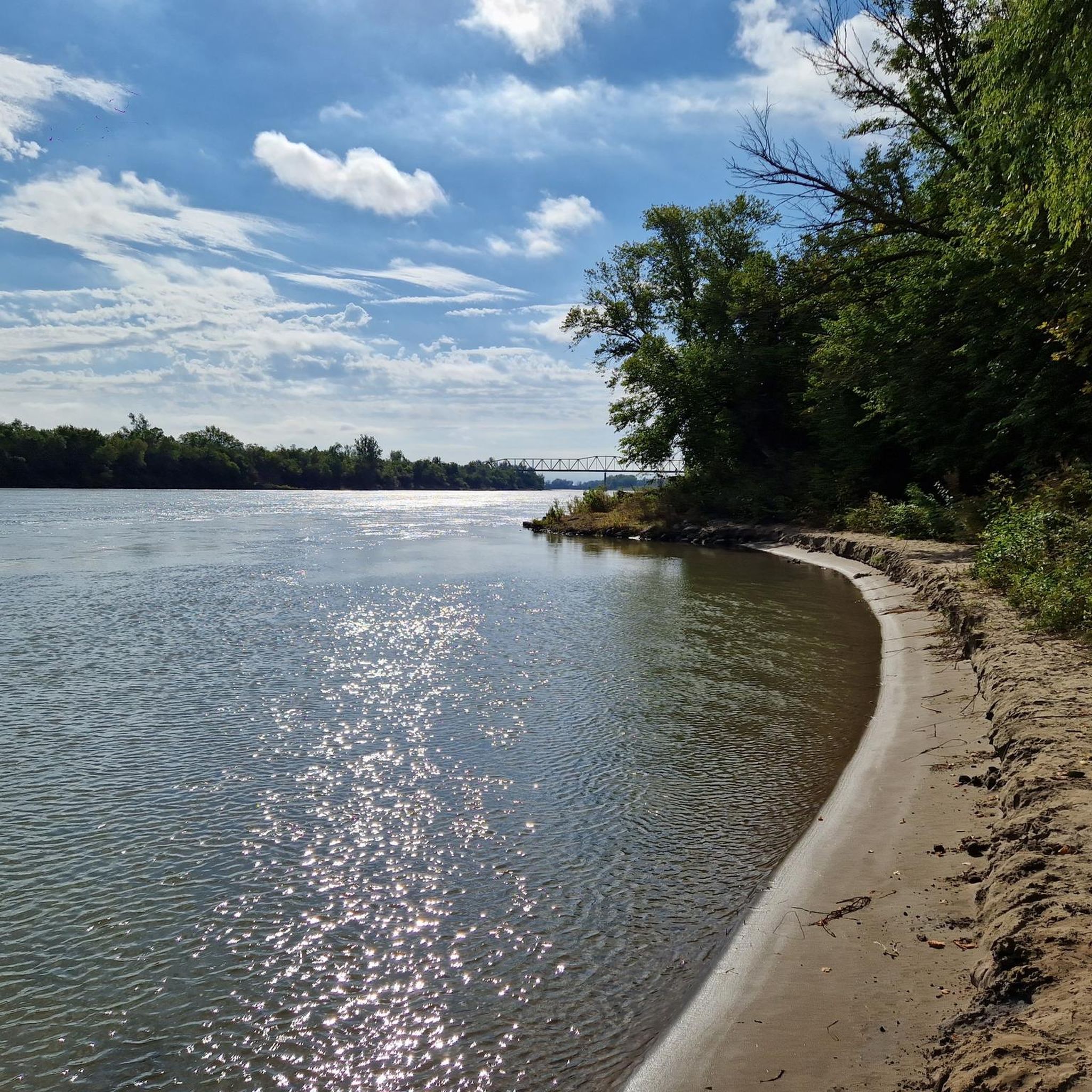
You get a nice view of the river here, and could even park your bike and hop on a river cruise if you like. But the best thing about River Road (just south of you) is that it connects cycle-friendly paths on the north and south sides of I-80.
0
0
This old railroad bridge reveals the origins of this stretch of trail: It was once part of the country's first transcontinental railroad.
0
0
This little neighborhood path has a nice paved path you can cycle along a tree-lined corridor.
0
0

No path through Bluestem Prairie, but walking path is wide and lovely, just beautiful.
0
0

At this spot you cross a nice bridge over West Papio Creek. The water is lined with rushes and tall grasses, which makes the water sometimes a little hard to see from the side, but makes it a popular spot with birds and other wildlife. This is a nice place to slow down and keep an eye out for them!
0
0

Nice Trail with some cool art here and there and insight on the former use of the trail
0
0

From here you gain an awesome view of the bendy Bob Kerrey Pedestrian Bridge. A real feat of engineering and an interesting perspective to view it from.
1
0

The Bob Kerrey Pedestrian Bridge is a 3,000-foot-long pedestrian bridge over the Missouri River between Council Bluffs, Iowa, and Omaha, Nebraska. It is a popular way for cyclist, runners and walkers to move between the two cities.
1
0
Frequently Asked Questions
What kind of terrain can I expect when touring cycling in Mills County?
Mills County offers a diverse cycling landscape. You'll encounter the unique Loess Hills with their steep, narrow ridges and bluffs, providing challenging climbs and rewarding descents. To the west, the Missouri River floodplain offers contrasting flat landscapes. Areas like West Oak Forest feature mature hardwood forests, providing shaded routes.
Are there many touring cycling routes available in Mills County?
Yes, komoot features over 10 touring cycling routes in Mills County. These routes cater to various skill levels, with 4 easy and 6 moderate options, ensuring there's a suitable ride for most cyclists.
What do other touring cyclists enjoy most about cycling in Mills County?
The area is highly rated by the komoot community, with an average score of 4.9 stars from over 15 reviews. Cyclists often praise the varied terrain, from the scenic Loess Hills to the gentle rail-trails, and the diverse natural attractions.
Are there any easy, family-friendly touring cycling routes in Mills County?
Yes, Mills County has several easy routes suitable for families. The Tom Hanafan River's Edge Park – Bob Kerrey Pedestrian Bridge loop from Lewis Township is an easy option, as is the Hastings Banner Park – Big Papio Trail loop from Bellevue Second I Precinct. The Wabash Trace Nature Trail, a 63-mile crushed limestone rail-trail, also offers relatively flat and scenic sections perfect for a relaxed family ride.
Can I bring my dog on the cycling trails in Mills County?
Many outdoor areas in Mills County are dog-friendly, especially trails like the Wabash Trace Nature Trail. However, it's always best to check specific park regulations for areas like Pony Creek Park or West Oak Forest regarding leash requirements and designated pet areas to ensure a pleasant experience for everyone.
What are some notable natural features or landmarks I might see along the routes?
Mills County is rich in natural beauty and historical sites. You'll encounter the dramatic Loess Hills, the expansive Missouri River floodplain, and mature hardwood forests. Points of interest include Pony Creek Park, which is a National Historic Landmark, and the Glenwood Archaeological State Preserve with its significant cultural sites. Folsom Point Preserve offers sweeping vistas of the Missouri River floodplain and the Loess Hills.
Are there any circular touring cycling routes in the area?
Yes, many routes in Mills County are designed as loops. For example, you can try the Wabash Trace Trail – Tobey Jack's Steakhouse loop from Saint Paul Evangelical Country Church Cemetery, or the Tobey Jack's Steakhouse – Wabash Trace Nature Trail loop from Lewis Township. Another option is the Bike loop from Bellevue University.
What is the best time of year to go touring cycling in Mills County?
Spring and fall generally offer the most pleasant cycling conditions in Mills County, with milder temperatures and beautiful scenery, especially when the Loess Hills are green or displaying autumn colors. Summer can be warm, but shaded routes through forests provide relief. Winter cycling is possible but requires checking trail conditions for snow or ice.
Where can I find parking or access points for the cycling trails?
Parking is typically available at trailheads and designated park areas throughout Mills County. For instance, the Wabash Trace Nature Trail has various access points in towns it connects. Parks like Pony Creek Park and Glenwood Lake Park also offer parking facilities. It's advisable to check specific route details for the most convenient parking locations.
Are there places to eat or stay near the cycling routes in Mills County?
Yes, towns within and around Mills County, such as Glenwood, Malvern, and Pacific Junction, offer various amenities. You can find restaurants, cafes, pubs, and accommodation options in these communities. The popular 'Thursday night Taco Ride into Mineola' on the Wabash Trace Nature Trail highlights local dining experiences.
What is the Glacial Hills Scenic Byway and can I cycle on it?
The Loess Hills National Scenic Byway, often referred to for its glacial history, traverses portions of Mills County, offering stunning drives and overlooks. While it's primarily a scenic road, cyclists can enjoy sections of it, bearing in mind it's a shared road with vehicle traffic. The unique geology of the Loess Hills provides a dramatic backdrop for any ride along this byway.
Are there any long-distance touring options in Mills County?
For longer rides, consider combining sections of the Wabash Trace Nature Trail, which spans 63 miles, with other local routes. The Old railroad bridge and dam – West Papio Creek Bridge loop from Bellevue University is a moderate 41.6-mile (66.9 km) route that offers a significant distance for touring cyclists.

Get inspired with the komoot mobile app


Explore more
Browse the best Cycling routes in other regions.
