The best road cycling routes in Doña Ana County
158
riders
28
rides
If you've ever tried to plan road cycling in Doña Ana County, you know how quickly the options can feel overwhelming. With so many routes crisscrossing the desert and mountains, it's hard to tell which ones are genuinely worth your legs and which are just filler. That's where we come in. Our komoot community has ridden, mapped, and reviewed countless miles here, and we've distilled it all down to the absolute best. Consider this your shortcut to incredible rides, saving you the guesswork.
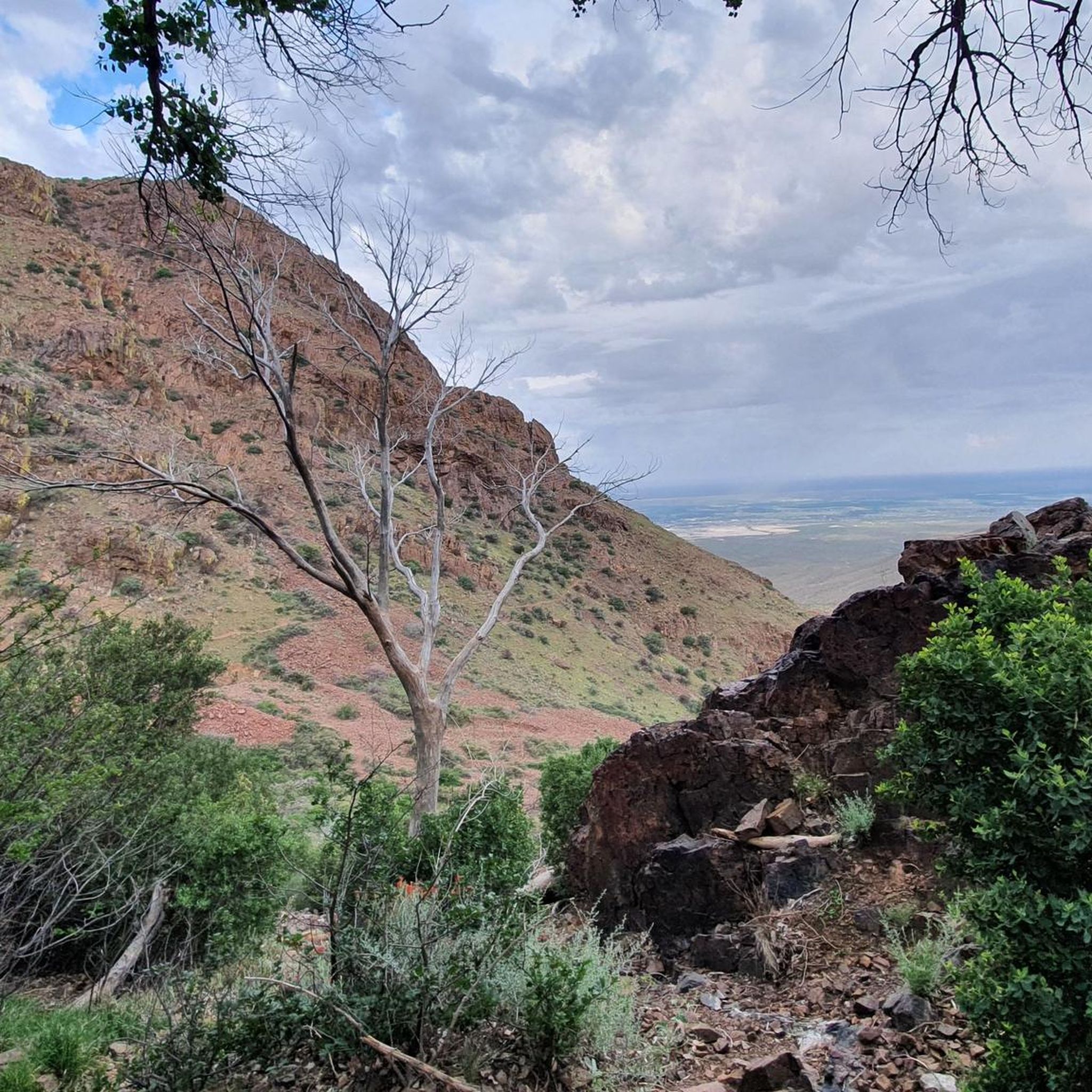
Road cycling in Doña Ana County is all about contrasts. You'll find everything from the rugged peaks of the Organ Mountains-Desert Peaks National Monument to the fertile, flat stretches of the Mesilla Valley along the Rio Grande. This Chihuahuan Desert landscape offers expansive views and varied terrain, ranging from easy valley rides to routes with significant elevation changes. And with approximately 320 days of sunshine annually, you can enjoy these routes year-round.
If you're looking for a solid, moderate challenge that showcases the desert, we'd start with the Resler Pond 2 loop from Coronado High School, a 54.0 miles (86.8 km) route offering great views. For those who crave a serious climb and panoramic vistas, the View of McKelligon Canyon – Murchison Rogers Park Overlook loop is a difficult 47.5 miles (76.5 km) path with significant elevation gain. More than 100 road cyclists have already explored Doña Ana County with komoot, so dive in and find your next favorite ride.
Last updated: May 31, 2026
23
riders
87.3km
03:43
330m
330m
Moderate road ride. Good fitness required. Mostly well-paved surfaces and easy to ride.
25
riders
Hard road ride. Very good fitness required. Mostly well-paved surfaces and easy to ride.

17
riders
Moderate road ride. Good fitness required. Mostly well-paved surfaces and easy to ride.
10
riders
50.2km
02:49
900m
900m
Moderate road ride. Good fitness required. Mostly well-paved surfaces and easy to ride.
4
riders
71.7km
02:57
320m
320m
Moderate road ride. Good fitness required. Mostly well-paved surfaces and easy to ride.
4
riders
55.3km
02:56
1,030m
1,020m
Hard road ride. Very good fitness required. Mostly well-paved surfaces and easy to ride.
4
riders
53.6km
02:15
130m
130m
Moderate road ride. Good fitness required. Mostly well-paved surfaces and easy to ride.
6
riders
Moderate road ride. Good fitness required. Mostly well-paved surfaces and easy to ride.
3
riders
29.4km
01:18
40m
40m
Easy road ride. Great for any fitness level. Mostly well-paved surfaces and easy to ride.
Get access to more routes and recommendations from other explorers.
Already have an account?
Our route recommendations are based on thousands of hikes, rides, and runs completed by other people on komoot.
Start today with a free account
Your next adventure awaits.
Popular around Doña Ana County
Road Cycling Routes around Sunland Park

Road Cycling Routes around Santa Teresa

Road Cycling Routes around San Ysidro

Road Cycling Routes in Organ Mountains-Desert Peaks National Monument

Road Cycling Routes around Fairacres

Road Cycling Routes around University Park

Road Cycling Routes around Mesilla
Road Cycling Routes around San Pablo

Road Cycling Routes around Tortugas

Road Cycling Routes around Las Cruces
Other adventures in Doña Ana County

Tips from the Community

The Mammoth is a well-known local landmark, named for its resemblance to the extinct beasts. The steep rock formation stands at 6,285 ft (1915.7 m), and is enjoyed by spectators and rock climbers alike.
0
0

This overlook is better known as Murchison Rogers Park. The overlook features several pier overlooks from the cliffside that point down the valley and towards the mountain sides. The twisty mountain road reaching the overlook is a popular scenic drive, walk, jog, and bike ride.
0
0


This is a paved track that runs along the north side of the dam. The dam was originally constructed in 1975 to protect the city from flooding damages from alluvial arroyos.
0
0
The park has some nice green space with views to the Organ Mountains. There is street parking, clean public restrooms, a picnic table, and trail access.
0
0

Nice ride. Crowded on sundays. Blocked for motorvehicles sunday mornings
1
0
Frequently Asked Questions
How many road cycling routes are available in Doña Ana County?
Doña Ana County offers over 25 road cycling routes, catering to various skill levels. You'll find a good mix of easy, moderate, and difficult trails to explore the diverse landscapes.
What is the best time of year for road cycling in Doña Ana County?
With approximately 320 days of clear skies annually, Doña Ana County is ideal for year-round cycling. The abundant sunshine makes it a compelling destination for outdoor enthusiasts in almost any season.
What kind of terrain can I expect on road cycling routes in Doña Ana County?
You can expect a diverse range of terrain. Routes traverse the expansive Chihuahuan Desert, offer stunning views of the rugged Organ Mountains-Desert Peaks National Monument, and wind through the fertile floodplain of the Mesilla Valley along the Rio Grande. This provides options from flat, open stretches to routes with significant elevation changes.
Are there road cycling routes suitable for beginners in Doña Ana County?
Yes, there are several routes suitable for beginners. For instance, the Roadbike loop from Las Cruces is an easy option, offering a gentler introduction to the region's cycling. In total, there are 6 easy routes available.
Are there challenging road cycling routes for experienced cyclists?
Absolutely. Experienced cyclists can find challenging routes with significant elevation gain. A notable difficult route is the View of the Mammoth – Murchison Rogers Park Overlook loop from Coronado High School, which features panoramic vistas and demanding climbs. There are 4 difficult routes in the area for those seeking a greater challenge.
What natural landmarks can I see while road cycling in Doña Ana County?
While cycling, you can encounter several natural landmarks. The prominent Organ Mountains-Desert Peaks National Monument provides a stunning backdrop. You might also find routes near unique geological sites like Kilbourne Hole or the Slot canyon. The region's diverse Chihuahuan Desert flora and fauna also add to the scenic beauty.
Are there any historical or cultural sites accessible from road cycling routes?
Yes, you can incorporate cultural experiences into your rides. Consider visiting the historic Mesilla Plaza, the Doña Ana Historic District, or the New Mexico Farm and Ranch Heritage Museum, which are all within reach of various cycling routes.
Are there any waterfalls along the road cycling routes?
While the region is primarily desert, you can find the Fillmore Waterfall within the Dripping Springs Natural Area. This area features hiking trails that can be combined with a cycling trip for a varied outdoor experience.
Are there loop road cycling routes in Doña Ana County?
Many of the road cycling routes in Doña Ana County are loops, offering convenient starting and ending points. Examples include the Resler Pond 2 loop from Angel's Triangle and the Sagecrest Park loop from Mesilla Valley Mall.
Where can I find parking for road cycling trails in Doña Ana County?
Many routes originate from easily accessible locations that typically offer parking. For example, routes like the Resler Pond 2 loop from Coronado High School or the Sagecrest Park loop from Mesilla Valley Mall suggest parking availability at or near these starting points.
What should I pack for road biking in Doña Ana County?
Given the desert environment and abundant sunshine, it's crucial to pack plenty of water, sun protection (sunscreen, hat, sunglasses), and appropriate layers for temperature changes. While this guide focuses on road cycling, if you venture onto mixed terrain, wider tires (40-47mm for 700c wheels, 47-55mm for 650b wheels) are recommended for comfort and to navigate sandy sections.
Are there any cafes or pubs near the road cycling routes in Doña Ana County?
Yes, you can find places to refuel. For example, the The Bean cafe – View of the Organ Mountains loop from Doña Ana suggests a route that passes by a cafe, offering a convenient stop during your ride. The historic Mesilla Plaza also has various dining options.
Most popular routes in Doña Ana County
Most popular attractions in Doña Ana County

Get inspired with the komoot mobile app


Didn’t find what you were looking for?
Check out more Road cycling routes throughout Doña Ana County below and find the perfect route in your destination.
Explore more
Browse the best Road cycling routes in other regions.
