The best walks and hikes in Caldwell County
4.4
(11)
161
hikers
28
hikes
Hiking in Caldwell County is characterized by riverine landscapes and greenspaces, primarily featuring trails along waterways such as the San Marcos River. The terrain generally includes gentle elevation changes, making it suitable for various hiking experiences. The region offers diverse natural settings, with routes often incorporating park environments and well-maintained paths.
Best hiking trails in Caldwell County
- The most popular hiking route is Plum Creek Trail, a 6.4 miles (10.3 km) trail that takes 2 hours 37 minutes to…
Last updated: May 12, 2026
18
hikers
5.42km
01:23
10m
10m
Easy hike. Great for any fitness level. Easily-accessible paths. Suitable for all skill levels.
5.0
(1)
8
hikers
4.40km
01:11
50m
60m
Easy hike. Great for any fitness level. Easily-accessible paths. Suitable for all skill levels.

Sign up for free
1
hikers
918m
00:14
0m
0m
Easy hike. Great for any fitness level. Easily-accessible paths. Suitable for all skill levels.
2.18km
00:36
40m
40m
Easy hike. Great for any fitness level. Easily-accessible paths. Suitable for all skill levels.
10.3km
02:38
40m
30m
Moderate hike. Good fitness required. Easily-accessible paths. Suitable for all skill levels.
1.07km
00:16
0m
0m
Easy hike. Great for any fitness level. Easily-accessible paths. Suitable for all skill levels.
2.06km
00:31
0m
10m
Easy hike. Great for any fitness level. Easily-accessible paths. Suitable for all skill levels.
946m
00:14
0m
0m
Easy hike. Great for any fitness level. Easily-accessible paths. Suitable for all skill levels.
7
hikers
3.18km
00:48
0m
0m
Easy hike. Great for any fitness level. Easily-accessible paths. Suitable for all skill levels.
3
hikers
6.08km
01:40
100m
100m
Easy hike. Great for any fitness level. Easily-accessible paths. Suitable for all skill levels.
Get access to more routes and recommendations from other explorers.
Sign up for free
Already have an account?
Our route recommendations are based on thousands of hikes, rides, and runs completed by other people on komoot.
Start today with a free account
Your next adventure awaits.
Login or Signup


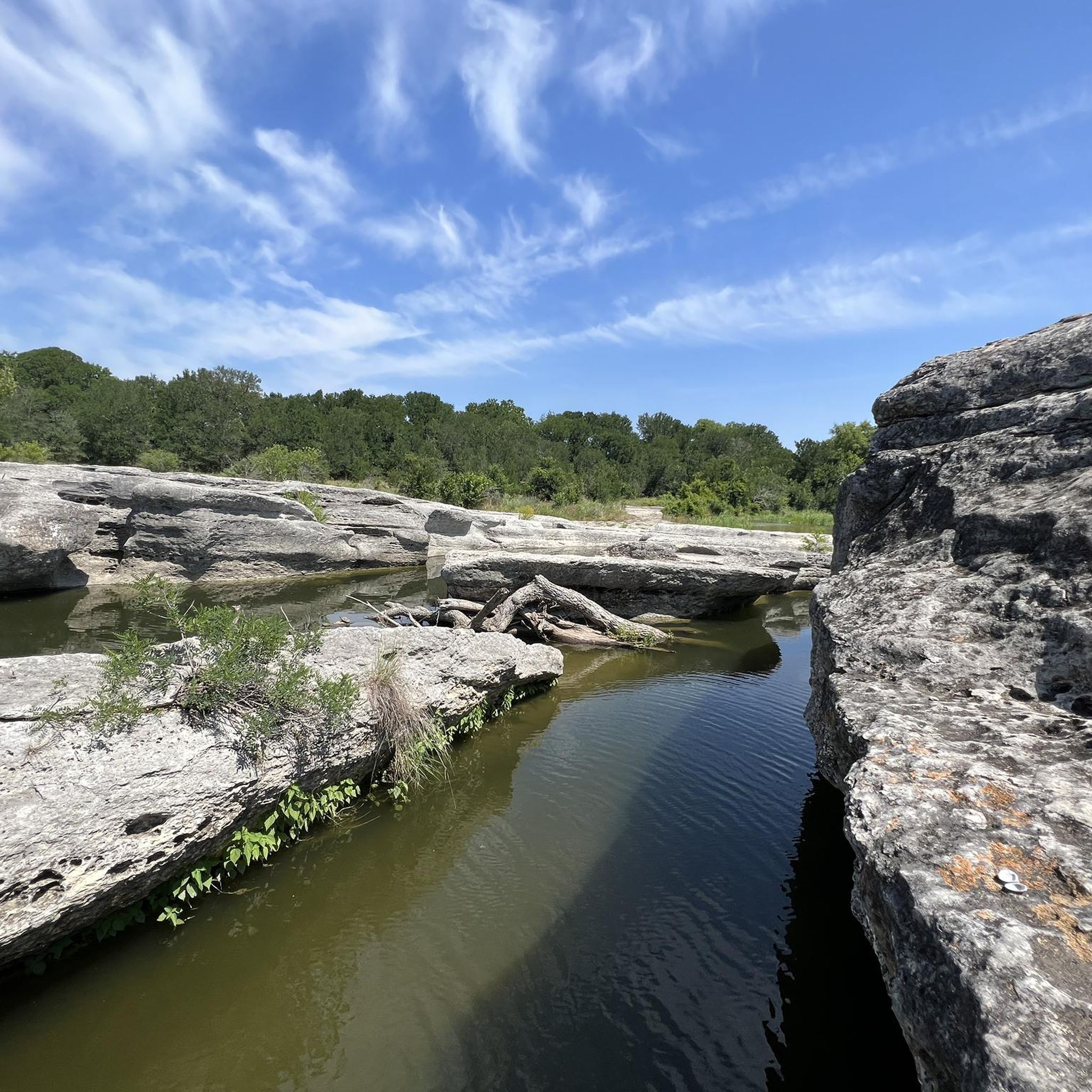

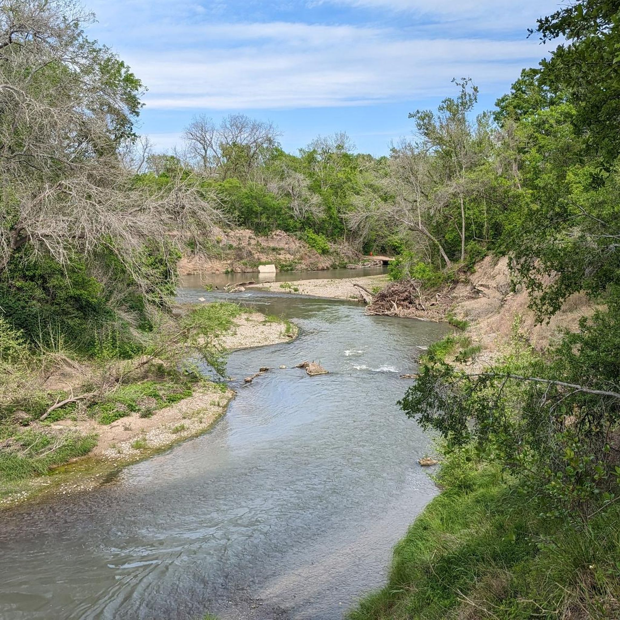
Tips from the Community

Spring Lake Natural Area, or Spring Lake Preserve has a variety of well maintained singletrack and doubletrack trails for you to explore. Most of the trails are at least partially shaded. The northern part of the trail system is closed March through May to protect endangered birds.
0
0
By the bridge to the park there are giant stone steps leading down to the azure water of the San Marcos River. This is a popular spot for swimming, tubing, and other outdoor activities. Once you cross the bridge into the park you have access to some partially shaded dirt paths which take you through the trees and down to the water.
0
0
Spring Lake Natural Area, or Spring Lake Preserve has a variety of well maintained singletrack and doubletrack trails for you to explore. Most of trails are at least partially shaded. The northern part of the trail system is closed March through May to protect endangered birds.
0
0
Here you can look out over the small pond from a viewing platform with a bench. This is a great place for birdwatching. The trail skirts the west side of the pond if you want a different vantage point.
0
0
Frequently Asked Questions
What kind of hiking experiences can I expect in Caldwell County?
Caldwell County offers a diverse range of hiking experiences, primarily characterized by riverine landscapes and greenspaces. You'll find trails that follow waterways like the San Marcos River, as well as routes through park environments such as Purgatory Creek Greenspace and Spring Lake Preserve. The terrain generally features gentle elevation changes, making it suitable for various hiking abilities.
Are there any easy hiking trails suitable for beginners or casual walkers?
Yes, Caldwell County has numerous easy trails. For example, the Lower Purgatory to Dante's Trail loop in Purgatory Creek Greenspace is an easy 3.5-mile path. Another popular option is the San Marcos Riverwalk, a 2.0-mile trail along the riverfront.
Can I find longer or more challenging hikes in the area?
While many trails feature gentle elevation changes, you can find longer routes. The Purgatory Creek Greenspace double loop is a moderate 8.1-mile trail that takes approximately 3 hours 25 minutes to complete, offering a more extended experience through the greenspace.
Are there any circular hiking routes in Caldwell County?
Yes, many trails in Caldwell County are designed as loops. Popular circular routes include the Purgatory Creek Greenspace double loop, the Lower Purgatory to Dante's Trail loop, and the Spring Lake Preserve loop.
What do other hikers say about the trails in Caldwell County?
The routes in Caldwell County are highly rated by the komoot community, with an average score of 4.3 stars from over 9 reviews. Hikers often praise the peaceful riverwalks and well-maintained greenspace loops, highlighting the natural beauty and accessibility of the trails.
Are there any trails that offer views of lakes or rivers?
Absolutely. Many trails in Caldwell County feature scenic river views. The San Marcos Riverwalk is a prime example, offering continuous views of the river. Additionally, trails around Spring Lake Preserve, such as the Spring Lake Preserve loop, provide beautiful waterside experiences.
How many hiking trails are available in Caldwell County?
There are over 15 hiking routes available in Caldwell County, offering a variety of options for different preferences and skill levels. These include easy strolls and moderate hikes through greenspaces and along rivers.
Are there any trails suitable for families with children?
Many of the easy trails with gentle terrain are well-suited for families. The Five Mile Dam Park loop in San Marcos, for instance, is an easy 1.4-mile path that is generally flat and enjoyable for all ages.
What are some notable natural areas to explore in Caldwell County?
Key natural areas for hiking include Purgatory Creek Greenspace and Spring Lake Preserve. These areas offer extensive trail networks through diverse natural settings, providing opportunities to experience the local flora and fauna.
Are there any trails that combine park environments with natural settings?
Yes, several routes integrate both park and natural environments. The Five Mile Dam and Prospect Park loop, located within Purgatory Creek Greenspace, is an easy 3.1-mile trail that combines park features with natural greenspace.
What is the typical duration for hikes in Caldwell County?
Hikes in Caldwell County vary in duration. Shorter, easy trails like the San Marcos Riverwalk can be completed in under an hour, while longer, moderate routes such as the Purgatory Creek Greenspace double loop can take over three hours.
Most popular routes in Caldwell County

Get inspired with the komoot mobile app


Didn’t find what you were looking for?
Check out more Hikes throughout Caldwell County below and find the perfect route in your destination.
Explore more
Browse the best Hikes in other regions.
