The best running trails in Taos County
5.0
(1)
40
runners
4
runs
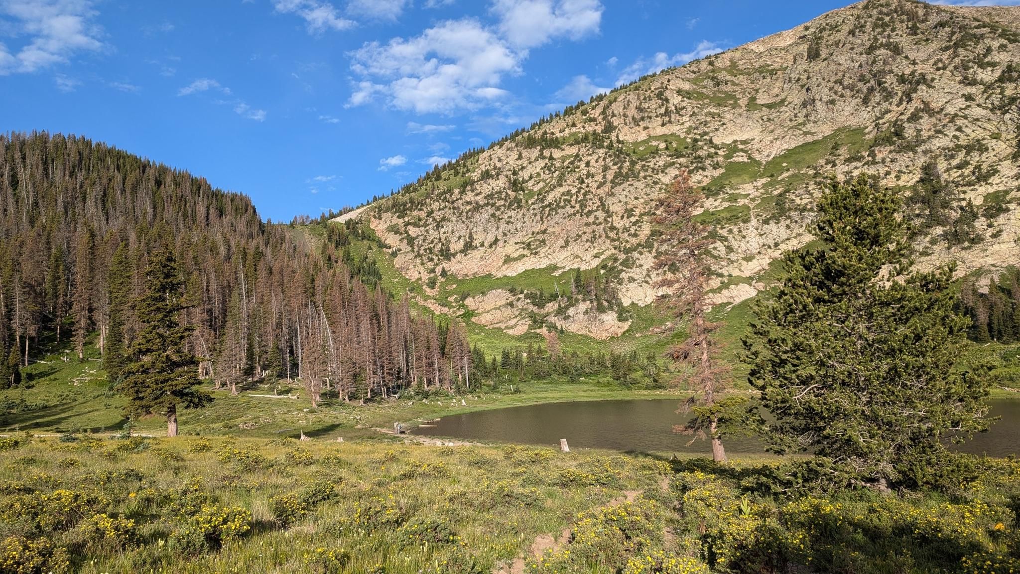
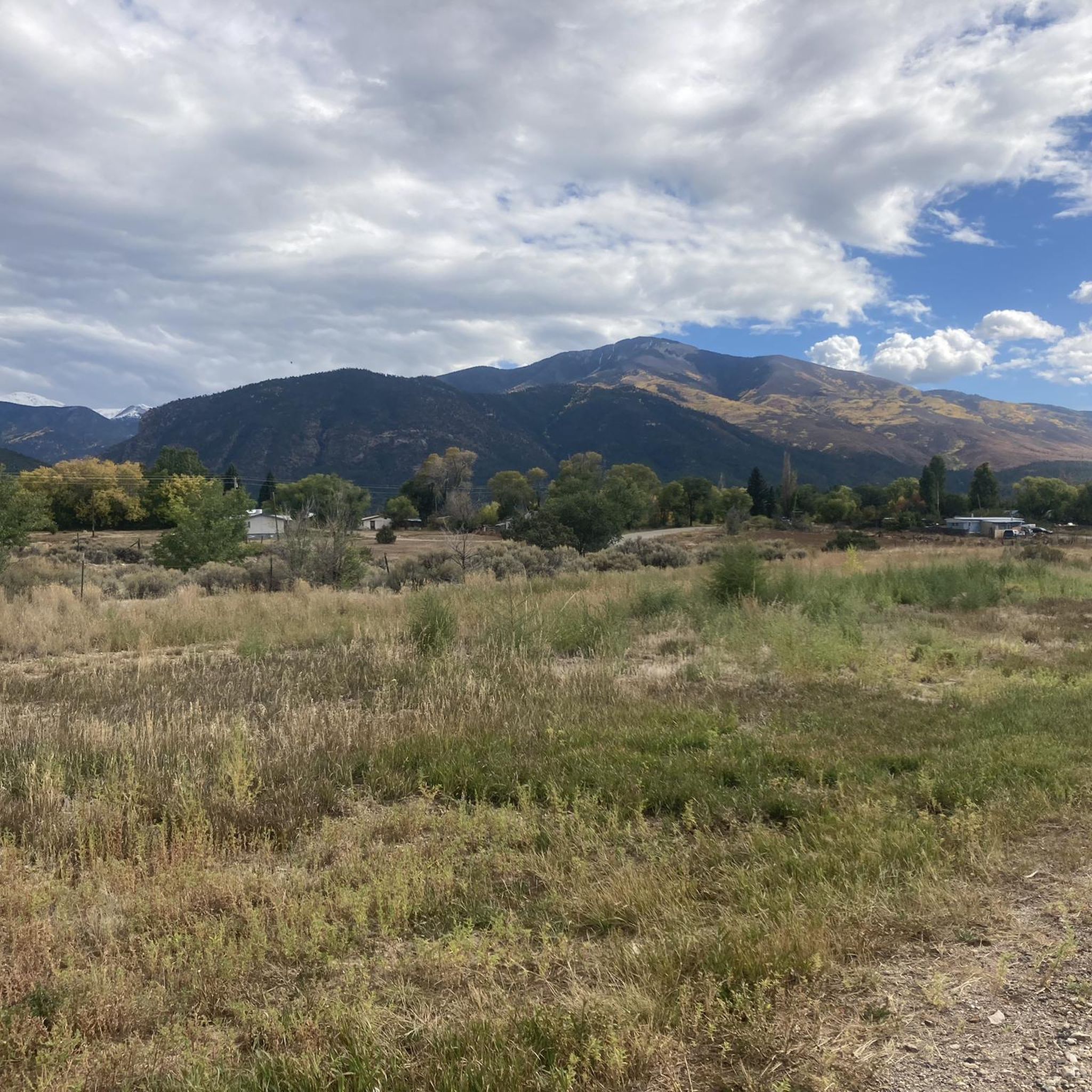
Jogging in Taos County offers routes through diverse landscapes, from high-altitude mountain trails to scenic overlooks. The region is characterized by its mountainous terrain, including prominent peaks and valleys, with routes often starting from areas like Taos Ski Valley or near the Wild Rivers Visitor Center. These running routes provide opportunities to experience the natural environment of northern New Mexico.
Best jogging routes in Taos County
- The most popular jogging route is Wheeler Peak – Mount Walter loop from Taos Ski Valley, a 9.1 miles (14.7 km) trail that takes 2 hours 21 minutes to complete. This difficult route ascends through high mountain terrain.
- Another top favourite among local runners is Devisadero Peak loop from Taos, a difficult 9.7 miles (15.6 km) path. This route offers panoramic views from Devisadero Peak.
- Local runners also love the Beaver Pond loop from Taos Ski Valley, a 7.0 miles (11.3 km) trail leading through mountain forests, often completed in about 1 hour 49 minutes.
- Jogging in Taos County is defined by high mountain peaks, forested valleys, and scenic overlooks, with options for various ability levels. The trails provide a range of experiences from moderate paths to challenging long distance running trails.
- The routes in Taos County are highly rated by the komoot community with an average score of 5.0 stars from over 1 review. More than 50 runners have used komoot to explore Taos County's varied terrain.
Last updated: September 28, 2026
5.0
(1)
21
runners
15.7km
02:26
600m
600m
Hard run. Very good fitness required. Sure-footedness, sturdy shoes and alpine experience required.
10
runners
11.3km
01:49
700m
700m
Hard run. Very good fitness required. Mostly paved surfaces. Suitable for all skill levels.

7
runners
22.3km
03:15
930m
930m
Hard run. Very good fitness required. Sure-footedness, sturdy shoes and alpine experience required.
2
runners
8.75km
01:05
90m
80m
Moderate run. Good fitness required. Mostly paved surfaces. Suitable for all skill levels.
Our route recommendations are based on thousands of hikes, rides, and runs completed by other people on komoot.
Start today with a free account
Your next adventure awaits.
Other adventures in Taos County

Tips from the Community

This 8,308-foot peak is a popular destination. A rock cairn and wooden signpost mark the summit, which affords views of Taos in the valley below.
0
0
This trailhead offers parking for several dozen cars and is a popular embarkation point for hikers, bikers, and equestrians.
0
0

If you want to ride the IMBA Epic trail "South Boundary" this is where the shuttle company picks you up. The shuttle takes you to the trailhead of South Boundary up on Osha Mountain where your mountainbike adventure beginns. After 21 miles of singletrack the trail spits you out again at this parking lot. You can book your shuttle under: https://shuttletaos.com/
2
0
Frequently Asked Questions
What types of running routes can I find in Taos County?
Taos County offers a diverse range of running routes, from high-altitude mountain trails to scenic overlooks. You'll find paths through forested valleys and challenging ascents, catering to various ability levels. The region is known for its mountainous terrain, providing unique running experiences.
Are there any moderate running trails suitable for beginners in Taos County?
Yes, while many routes are challenging, there is at least one moderate option. The Chawalauna Overlook loop from Wild Rivers Visitor Center is a moderate 5.4-mile (8.7 km) trail that offers a less strenuous experience compared to the more difficult mountain routes.
What are some good options for long-distance running in Taos County?
For those seeking longer distances, Taos County has several challenging routes. The Fraser Mountain – Bull-of-the-Woods Mountain loop from Taos Ski Valley is a difficult 13.9-mile (22.3 km) trail, offering significant elevation gain and a rewarding long-distance run.
When is the best time of year to go running in Taos County?
The best time for running in Taos County is generally from late spring through early fall (May to October). During these months, the weather is typically mild, and most high-altitude trails are free of snow. Winter running is possible on lower elevation trails, but higher mountain routes will be snow-covered and require specialized gear or snowshoeing.
Are there any running routes that offer panoramic views or scenic overlooks?
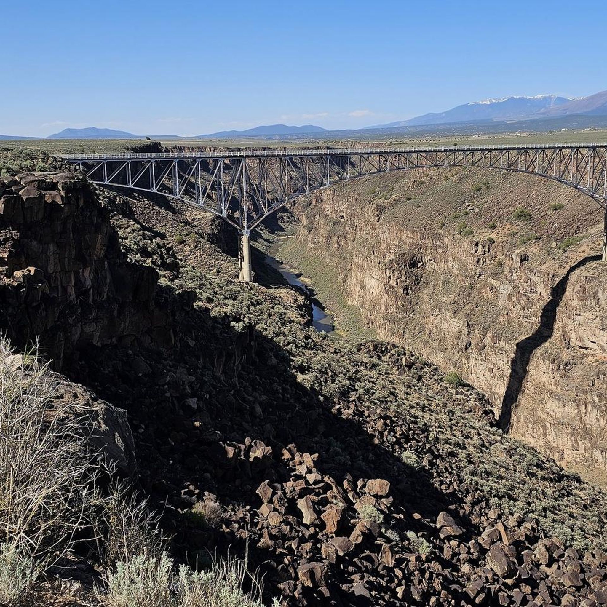
Absolutely. Many routes in Taos County are known for their stunning vistas. For panoramic views, consider the Devisadero Peak loop from Taos, which provides expansive scenery from Devisadero Peak. The Rio Grande Gorge and Bridge View is another iconic viewpoint in the area.
What do other runners say about the trails in Taos County?
The running routes in Taos County are highly regarded by the komoot community, with an average rating of 5.0 stars. Runners often praise the challenging terrain, the stunning natural beauty, and the opportunity to experience the unique high-mountain environment of northern New Mexico.
Can I find circular running routes in Taos County?
Yes, many of the popular running routes in Taos County are loops, allowing you to start and finish at the same point without retracing your steps. Examples include the Wheeler Peak – Mount Walter loop from Taos Ski Valley and the Beaver Pond loop from Taos Ski Valley.
Are there any natural attractions or landmarks I can see along the running routes?
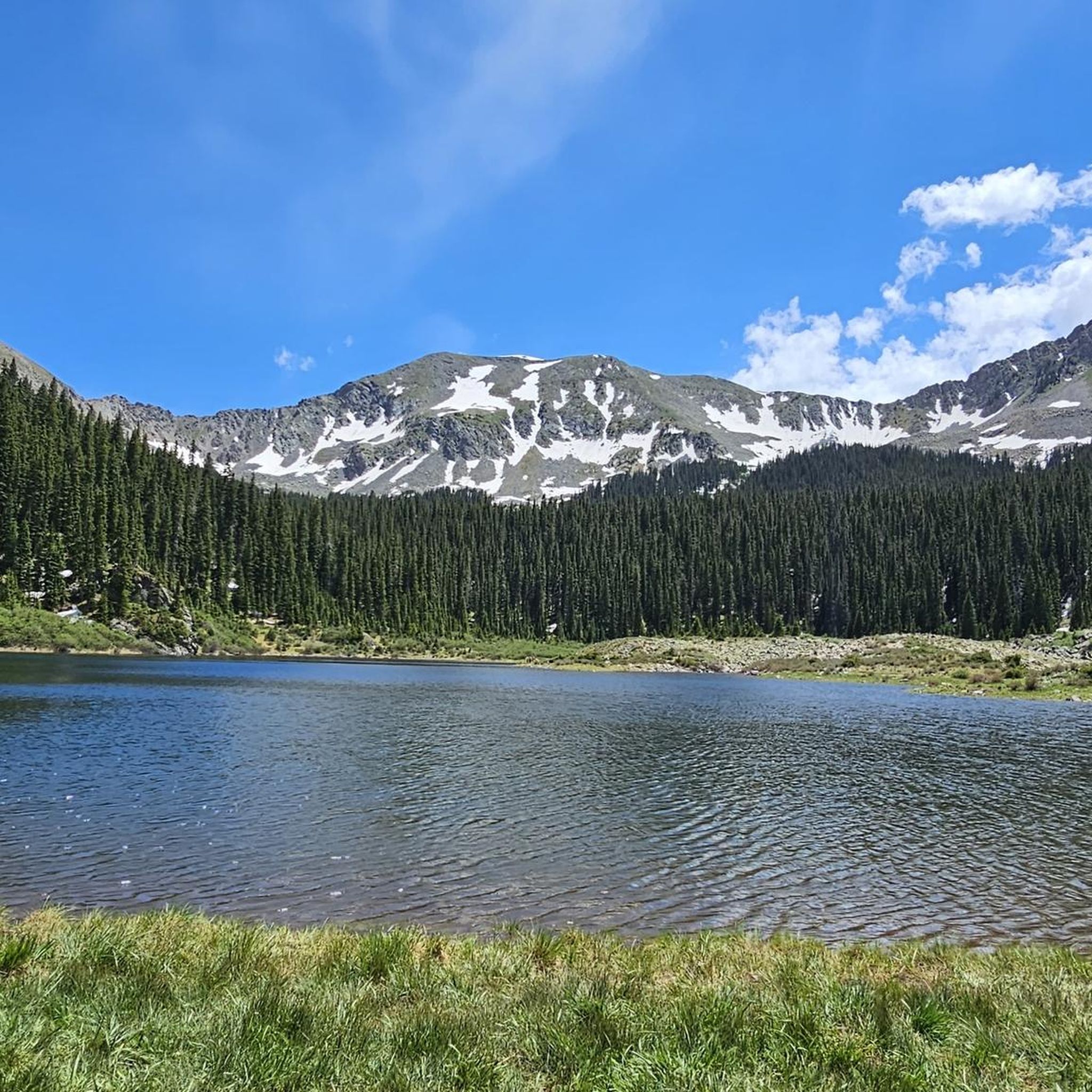
Yes, Taos County's routes often pass by or offer access to significant natural landmarks. You might encounter highlights such as Williams Lake, the majestic Wheeler Peak Summit, or the dramatic Rio Grande Gorge. These offer great points of interest during your run.
Are the running trails in Taos County dog-friendly?
Many trails in Taos County, especially those in national forests, generally allow dogs on a leash. However, specific regulations can vary by area, particularly in designated wilderness areas or sensitive wildlife habitats. It's always best to check local signage or the specific trail's rules before heading out with your dog.
Are there any running routes that start near visitor centers or have accessible parking?
Yes, some routes are conveniently located near facilities. For example, the Chawalauna Overlook loop starts from the Wild Rivers Visitor Center, which typically offers parking and facilities. Many routes originating from Taos Ski Valley also have designated parking areas.
What should I be aware of regarding weather conditions when running in Taos County?
Due to its high altitude, weather in Taos County can change rapidly. Be prepared for cooler temperatures, especially at higher elevations, and sudden afternoon thunderstorms during summer. Always check the forecast before your run, carry appropriate layers, and bring enough water, as the dry climate and elevation can lead to dehydration.
How many running routes are available in Taos County on komoot?
Komoot features a selection of running routes in Taos County, with a total of 5 curated tours available. These range from moderate to difficult, offering a variety of experiences for runners.
Most popular attractions in Taos County

Get inspired with the komoot mobile app


Didn’t find what you were looking for?
Check out more Running Trails & Routes throughout Taos County below and find the perfect route in your destination.
Explore more
Browse the best Running Trails & Routes in other regions.
