The best walks and hikes in Fremont County
4.6
(21)
461
hikers
26
hikes
If you've ever tried to plan `hikes in Fremont County`, you know how quickly the options can feel overwhelming. With so many trails, it's tough to tell which ones are genuinely worth your time and effort, and which are just filler. We get it, and we're here to cut through the noise. Our komoot community has explored, mapped, and reviewed countless routes here, so consider this your curated shortlist of the very best.
Hiking in Fremont County is all about dramatic canyon rims, the winding Arkansas River, and the rugged beauty of the San Isabel National Forest. You'll find everything from easy riverside strolls to challenging mountain climbs, with the iconic Royal Gorge area and the unique rock formations of Temple Canyon Park offering distinct experiences. It’s a landscape that truly feels expansive, offering a real sense of adventure.
If you only do one hike, we'd point you straight to the Royal Gorge Overlook Trail. It's an easy 1.0 mile (1.6 km) route that delivers incredible panoramic views of the canyon for minimal effort. For a slightly longer, equally rewarding experience, the Arkansas River Canyon Rim Loop, at 5.9 miles (9.5 km), offers a fantastic moderate challenge with stunning vistas. Ready to explore? More than 270 hikers have already used komoot to discover these trails, and now it's your turn.
Last updated: May 10, 2026
21
hikers
9.46km
02:39
190m
190m
The Arkansas River Canyon Rim, Cañon Vista, Overlook, and Far Out Loop offers a diverse and scenic hiking experience near the Royal Gorge. You'll wander through varied terrain, from sun-exposed, dusty paths along the Canyon Rim to more sheltered, wooded sections. The highlight is undoubtedly the incredible vistas of the Arkansas River Canyon, often looking down hundreds of feet to the river below, and the chance to spot the Royal Gorge Bridge from various viewpoints. This moderate 5.9-mile (9.5 km) route, with 628 feet (191 metres) of elevation gain, takes about 2 hours and 39 minutes, making it a rewarding half-day adventure.
Planning your visit is straightforward, as the trails are well-maintained and clearly signed. While generally accessible, be prepared for some notable inclines, with certain sections climbing 400 to 600 feet. If you're hiking during colder months, watch out for patches of ice and snow. This trail is a fantastic option if you're seeking a less crowded experience compared to other popular trails in the region, and it's generally considered family-friendly.
What makes this loop truly stand out is its ability to deliver unparalleled views of the Royal Gorge and its famous suspension bridge without requiring entry into the paid Royal Gorge Bridge & Park. You'll enjoy 360-degree views of the canyon and surrounding mountains, including Pike Peak and the Sangre de Cristo Mountains, from various ridges. The area is also home to interesting cacti and offers opportunities to spot wildlife like birds of prey and bighorn sheep, adding to the natural appeal of this top-rated hike near Cañon City.
4
hikers
3.24km
00:51
20m
40m
The Tunnel Drive Trail offers a delightful stroll through a high-desert landscape carved into the cliffs above the Arkansas River. You'll traverse a mostly flat, crushed-gravel path, passing through three historic tunnels that were once part of a water pipeline. The scenery is dominated by the dramatic canyon walls of the Royal Gorge, with opportunities to spot wildlife like bighorn sheep and various bird species amidst the piñon pine and juniper. It's an easy 2.0-mile (3.2 km) hike with minimal elevation gain of 76 feet (23 metres), making it a relaxing experience.
Planning your visit to the Tunnel Drive Trail is straightforward, as it's open year-round and requires no permits. However, be prepared for full sun exposure, as there's almost no shade along the route; bring water and sun protection, especially if hiking during the warmer parts of the day. The trail is easily accessible from Cañon City, with parking available at the trailhead, and it's a popular choice for families and those seeking a gentle outing.
What truly sets the Tunnel Drive Trail apart are its unique historical tunnels and the constant, sweeping viewpoints overlooking the Arkansas River. You can often watch the Royal Gorge Route train chugging along the tracks below, adding to the charm. This trail provides a fantastic, free taste of the Royal Gorge experience, offering a different perspective than other local trails, all within an estimated 51 minutes of walking time.

2
hikers
3.32km
01:16
380m
0m
The South Prong Hayden Creek Road Trail offers a concise yet challenging hiking experience, perfect for those seeking a vigorous workout in a relatively short timeframe. You'll navigate a continuously ascending path, likely on a rugged road surface that can be steep and rocky, reminiscent of a mountain pass. While specific visual landmarks for this particular segment are not detailed, the surrounding area suggests views towards the Arkansas River valley from higher points, providing a scenic reward for your effort.
This moderate trail covers 2.1 miles (3.3 km) with a substantial 1237 feet (377 metres) of elevation gain, typically requiring about 1 hour and 15 minutes to complete. It's a great option if you're looking for a quick, intense climb. Be prepared for the uphill nature of the route, and consider the best time to hike South Prong Hayden Creek Road Trail to avoid extreme weather, especially given the potential for rough terrain.
This trail's character as a "Road Trail" suggests it might be part of a larger network, possibly a multi-use dirt or gravel road. While the specific context for this 2.1-mile section is limited, the name implies a connection to the broader Hayden Creek area, known for its rugged mountain terrain and potential for scenic vistas. It's a good way to experience a taste of the region's challenging landscape.
1
hikers
19.3km
05:23
380m
350m
The Oil Well Flats Trail system offers a rugged and rewarding hiking experience north of Cañon City, Colorado. You'll traverse a mix of rocky singletrack, dirt roads, and paths winding through junipers and piñons, with some sections featuring steep climbs and technical rock features. The standout views from the Island in the Sky trail, overlooking Cañon City and the distant Sangre De Cristo Mountains, make the effort worthwhile on this difficult 12.0-mile (19.3 km) route.
Planning your visit is key for this trail, which involves 1242 feet (378 metres) of elevation gain and typically takes around 5 hours and 23 minutes. The optimal time to hike is between late September and May to avoid the intense summer heat. Be aware that the clay-rich soil can become extremely muddy after rain, so it's best to avoid the trails during wet conditions to prevent damage and ensure a pleasant experience. Parking access varies, with some areas requiring a high-clearance vehicle.
Beyond the challenging terrain and scenic overlooks, Oil Well Flats holds significant historical and geological interest. The area is named for its role as the site of the first oil wells west of the Mississippi in the 1860s, and dinosaur fossils were discovered here in the 1870s. You might also encounter cattle grazing in the open meadows, adding to the rustic charm of this multi-use trail system, which is also popular with mountain bikers and horseback riders.
1
hikers
1.85km
00:31
30m
40m
The Cactus Cliff Trail offers a delightful, easy hiking experience, perfect for a quick immersion into a desert landscape. This 1.1-mile (1.8 km) route, with a minimal 90 feet (27 metres) of elevation gain, can be completed in just 30 minutes, making it an ideal choice for families or those new to hiking. Expect a well-maintained path winding through desert flora, providing scenic views of cacti and distant cliff formations.
Planning your visit is straightforward for this accessible trail. While specific parking details aren't provided, you'll likely find convenient access near the trailhead. To make the most of your hike, consider going in the cooler morning or late afternoon hours, especially if you're visiting during warmer seasons. Always bring water, even for this short duration, and check the weather forecast before you go.
This trail stands out as a fantastic option for a quick, high-reward outdoor experience in Fremont County. Its easy difficulty and short length make it a great introduction to desert hiking, allowing you to enjoy the natural beauty and quiet without a significant time commitment. It's a perfect way to stretch your legs and take in some natural features.
8.75km
02:16
70m
20m
The Arkansas Riverwalk Trail offers a delightful journey along the Arkansas River, transitioning from lush cottonwood forests and native wetlands to urban sections of downtown Cañon City. You'll find a smooth, hard-packed crushed gravel surface for most of the way, often following an old railroad bed, making it wide and easy to navigate. Keep an eye out for diverse wildlife, including various bird species and deer, as you enjoy the scenic river views.
This moderate 5.4-mile (8.7 km) hiking route has a gentle 232 feet (71 metres) of elevation gain and takes about 2 hours and 16 minutes to complete, making it highly accessible for all ages and skill levels. The trail connects to several parks and trailheads throughout Cañon City, such as Centennial Park and John Griffin Regional Park, providing convenient access. Be aware that some underpasses might experience flooding during periods of high water, typically from mid-to-late June.
Beyond its natural beauty, the Arkansas Riverwalk Trail is a vital recreational corridor, popular for walking, running, and cycling. It features fitness stations, benches, and picnic tables, enhancing its appeal for both active and leisurely outings. A notable highlight is the option to detour onto the Tunnel Drive Trail, which winds through three granite tunnels and offers spectacular views overlooking the Arkansas River and the Royal Gorge Route Railroad.
1.58km
00:36
130m
60m
If you're after spectacular vistas without a strenuous climb, the Royal Gorge Overlook Trail is an excellent choice. This easy 1.0-mile (1.6 km) hike, with 430 feet (131 metres) of elevation gain, takes about 36 minutes to complete and offers breathtaking panoramic views of the Royal Gorge, the Arkansas River, and the iconic Royal Gorge Bridge. The terrain is mostly natural singletrack, with some rocks and cacti, and you'll be treated to dramatic canyons, wildflowers, and distant views of the Sangre de Cristo mountains.
This trail is incredibly family-friendly and perfect for beginners, offering an accessible way to experience the region's beauty. It's also dog-friendly, so your leashed pet can join the adventure. While generally well-maintained, be aware that Royal Gorge Overlook Trail winter conditions can include ice, so plan your visit accordingly to ensure a safe and enjoyable experience.
What truly sets this route apart is its unique perspective; it provides exceptional, close-up views of the Royal Gorge and Bridge from a distance, distinct from being directly on the bridge itself. It's one of the best hikes near Royal Gorge Bridge for those seeking a quick, high-reward outing, and you might even spot some local wildlife on your trek.
20.4km
05:47
620m
160m
The Locke Mountain and Bear Gulch Loop offers a diverse and challenging hiking experience, taking you through the unique talus formations of Bear Gulch Caves before ascending into the dramatic High Peaks. You'll navigate narrow passages, enjoy the peaceful Bear Gulch Reservoir, and then tackle steep, exposed sections with handrails, all while soaking in panoramic views of the volcanic spires.
This difficult 12.7-mile (20.4 km) route involves 2021 feet (616 metres) of elevation gain and typically takes around 5 hours and 47 minutes to complete. Remember to bring a flashlight for the caves and plenty of water for the exposed High Peaks sections, especially during warmer months. Arriving early is advisable for parking.
This loop is celebrated for giving hikers a "grand tour" of Pinnacles National Park's best features in a single outing, including the chance to spot endangered California Condors soaring above the peaks. The varied terrain, from shaded gulches to thrilling rock formations, makes it a memorable adventure for experienced hikers.
60.2km
16:41
1,460m
410m
Phantom Canyon Road offers a unique blend of natural beauty and historical intrigue, following the path of the old Florence and Cripple Creek Railroad through a dramatic canyon. As you hike, you'll pass through two impressive tunnels carved from rock and cross the historic Adelaide Bridge, all while Eightmile Creek flows alongside. This is a challenging 37.4-mile (60.2 km) hike with 4779 feet (1457 metres) of elevation gain, typically requiring about 16 hours and 40 minutes to complete.
Primarily a scenic dirt road, the Phantom Canyon Road hiking terrain is unpaved and rocky, starting near Victor at about 9,500 feet and descending gradually. While the grade is gentle for much of its length, the sheer distance makes it a significant undertaking, especially if you plan to hike the full route out and back. Be prepared for varying road conditions, including washboards, and be mindful of vehicles as it's also a popular driving route.
This route is a key part of the Gold Belt Scenic Byway, notable for its connection to the 1890s gold mining era. Along the way, you can explore the remnants of ghost towns like Wilbur, Adelaide, and Glenbrook, which once thrived due to the railroad. The canyon also carries local folklore about a phantom, adding a mysterious layer to its already rich history and making it one of the more distinctive Phantom Canyon Road points of interest.
58.9km
16:19
1,530m
220m
The Phantom Canyon Gold Belt Tour Back Country Byway offers a unique blend of history and natural beauty, following an old railroad grade through a dramatic canyon. You'll hike on an unpaved, narrow dirt road, passing through hand-cut tunnels and over historic bridges like the Adelaide Bridge, all while surrounded by striking red rock formations and vibrant canyon walls. This difficult 36.6-mile (58.9 km) route with 5026 feet (1532 metres) of elevation gain is a serious undertaking, requiring around 16 hours and 19 minutes to complete, making it ideal for experienced hikers seeking a long-distance challenge. You'll encounter a constantly changing landscape, from rolling hills to steep drop-offs, with opportunities to spot wildlife.
Before you head out, be aware that this route is primarily a scenic drive, so you'll be sharing the road with vehicles, mountain bikers, and off-roaders. The road can be narrow and may have wash-boarding, so checking current conditions is crucial, especially during wet periods. While there are no specific permits for hiking, always be prepared for a long day or multi-day trip, carrying plenty of water and supplies. The route connects the towns of Victor and Florence, offering potential access points and services at either end.
This byway is steeped in history, tracing the path of the Florence and Cripple Creek Railroad built in 1894 to serve the goldfields. You'll find remnants of former mining communities like Wilbur and Adelaide, along with interpretive displays that tell the story of the gold rush era. The area is also known for its
Get access to more routes and recommendations from other explorers.
Already have an account?
Our route recommendations are based on thousands of hikes, rides, and runs completed by other people on komoot.
Start today with a free account
Your next adventure awaits.
Popular around Fremont County
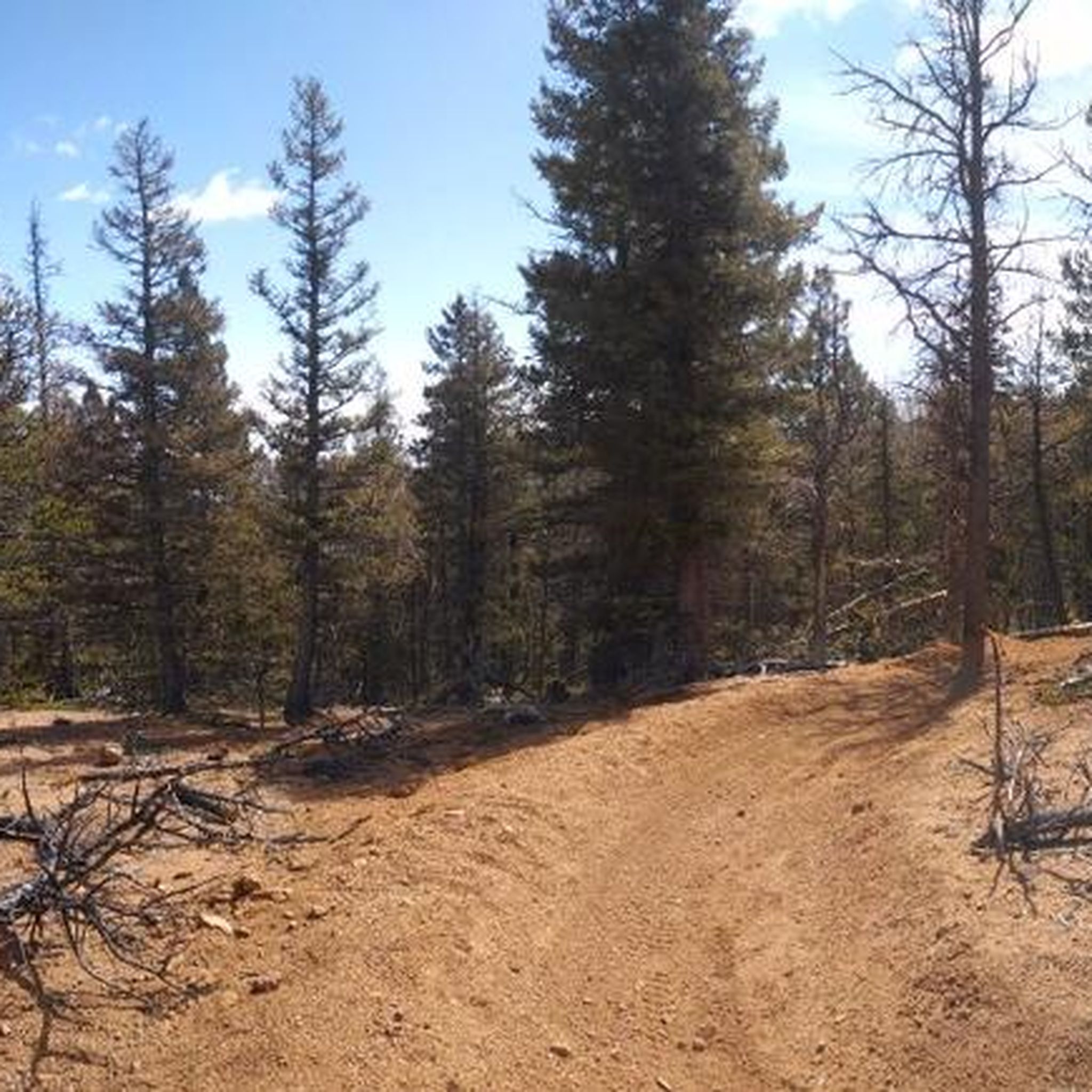
Hiking in Beaver Creek Wilderness Study Area
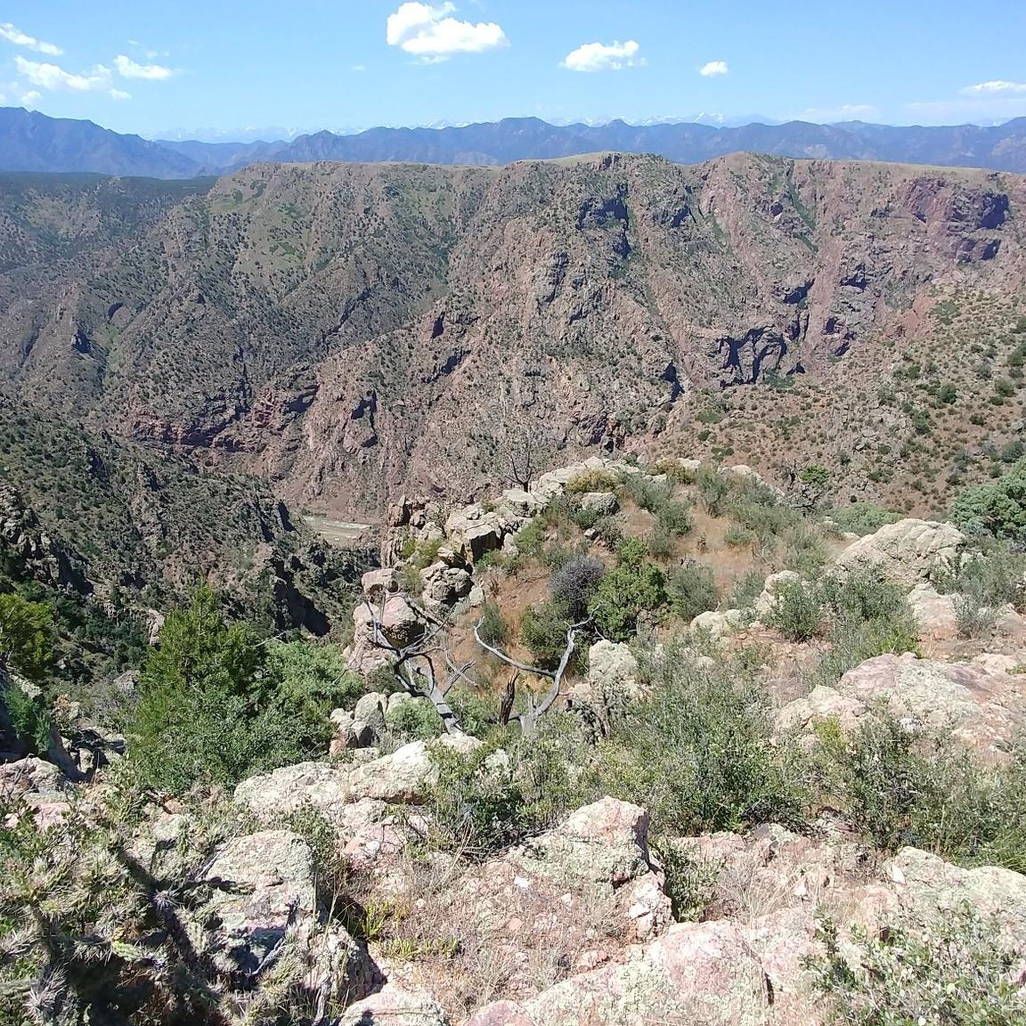
Hiking in Arkansas Headwaters Recreation Area
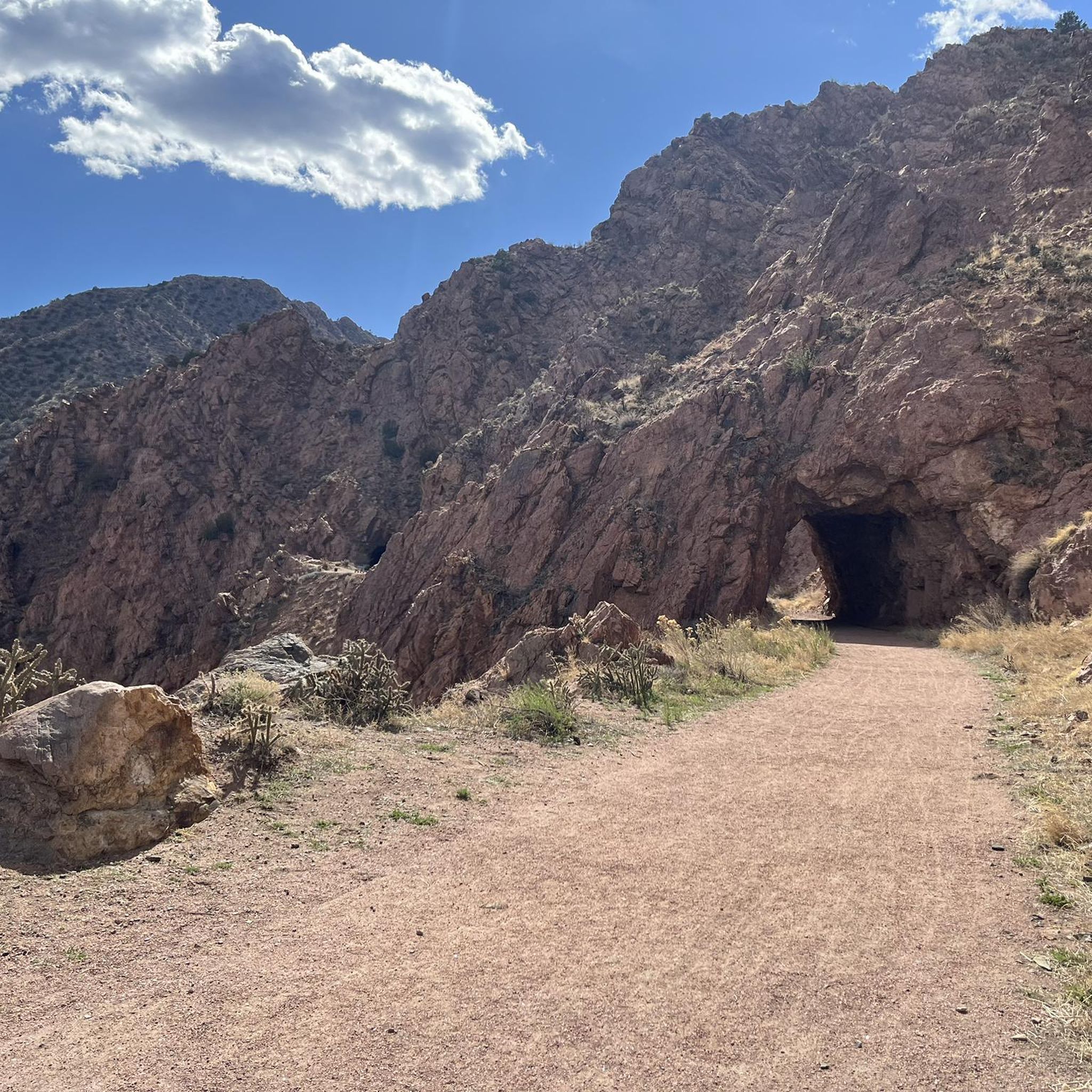
Hiking around Cañon City
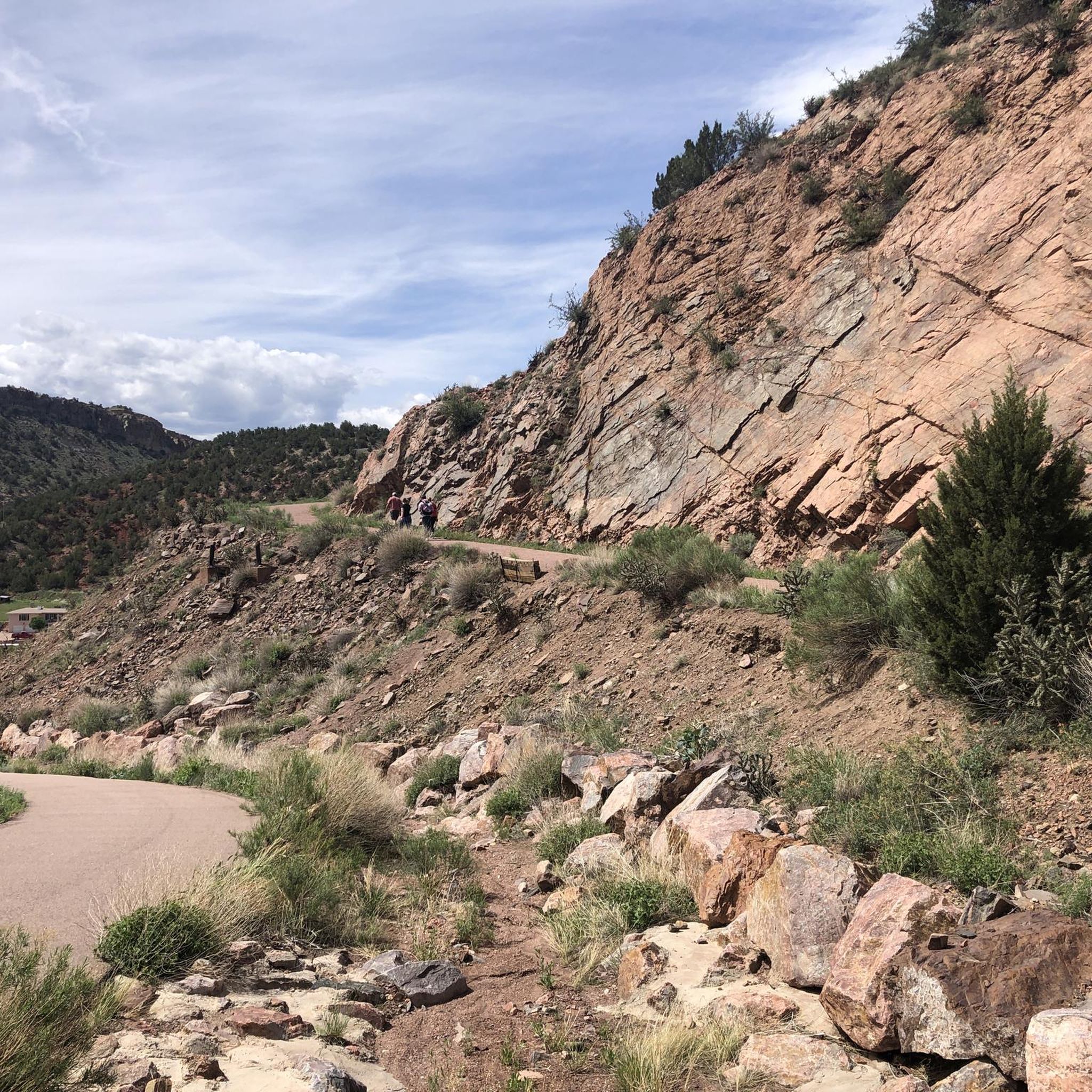
Hiking around Lincoln Park
Hiking in Lower Grape Creek Wilderness Study Area
Hiking around Park Center
Hiking in Mcintyre Hills Wilderness Study Area

Hiking around Brookside

Hiking around Williamsburg

Hiking around Rockvale
Tips from the Community

Great view of the bridge and the gorge.
1
0
A ride on the cable car is definitely worth it. The views of the Arkansas River and the gorge are unique.
1
0
At 291 meters above the river, the bridge was the highest suspension bridge in the world from its completion until 2001.
1
0

The Phantom Canon Road is an unpaved legendary road that leads from Victor directly down to Canon City for about 50km. Perfect for a mountain bike tour. Traffic is moderate. You should take enough provisions with you, as there are no rest stops along the way and mobile phone reception also breaks down from time to time.
2
0
A short trail with great views around the crest. Perfect for mountain biking.
1
0
Best point to enjoy the view over the gorge.
1
0
A lovely little loop hike with views of the Arkansas Gorge and Bridge. You can drive up, or climb the Tunnel Drive Trail from Canon City in fall through spring.
2
0
Frequently Asked Questions
Are there many family-friendly or easy hikes in Fremont County?
Yes, there are several great options for families and beginners. The Tunnel Drive Trail loop from Colorado Territorial Correctional Facility is a popular choice. It's a relatively flat, 3.6-mile (5.8 km) walk along an old railroad bed that features three rock tunnels and offers excellent chances to see bighorn sheep along the Arkansas River.
Can I bring my dog on the trails?
Many trails in Fremont County are dog-friendly, but policies can vary, especially between city parks and national forest lands. It's always best to keep your dog on a leash and check local regulations before you go. Trails in areas like the San Isabel National Forest are generally welcoming to leashed dogs.
What are the main hiking areas in Fremont County?
The hiking is concentrated in a few key areas, each with its own character. You'll find trails in the Royal Gorge Park with dramatic canyon views, Temple Canyon Park known for its unique rock formations, the higher-elevation San Isabel National Forest, and along the Arkansas River.
Are there any challenging hikes for experienced trekkers?
Absolutely. For a difficult, high-elevation challenge, the Stout Lakes Trail — San Isabel National Forest is a demanding 8.4-mile (13.5 km) route with significant elevation gain. It rewards hikers with a remote wilderness experience and alpine scenery.
Where can I find hikes with the best views of the Royal Gorge?
For spectacular views looking down into the canyon, the Royal Gorge Canyon Rim Trail — Royal Gorge Park is an excellent choice. This 3.8-mile (6.1 km) path follows the edge of the gorge, offering continuous, breathtaking vistas 1,250 feet down to the river.
What is the best time of year to hike in Fremont County?
Spring, summer, and fall are the prime hiking seasons, offering pleasant weather for exploring all elevations. Winter hiking is also possible on lower-elevation trails, such as those along the Arkansas River, but be prepared for snow and ice, especially in the mountains.
Are there any good loop trails?
Yes, Fremont County has several enjoyable loop hikes. A great moderate option is the Bear Creek Loop — San Isabel National Forest. This 8.2-mile (13.3 km) trail offers a more remote experience through forested terrain.
Where can I find a good hike in Temple Canyon Park?
Temple Canyon Park is known for its unique geology. The Redemption & Hard Time trails loop is a 5-mile (8 km) moderate hike that showcases the park's distinctive rock formations and natural 'temple' alcove.
What do other hikers think of the trails in Fremont County?
The trails are highly regarded by the komoot community, with an average rating of 4.6 out of 5 stars. Hikers frequently praise the dramatic canyon scenery, the well-maintained trail networks, and the opportunities to spot wildlife like bighorn sheep.
Are there any long-distance hikes for a full day out?
Yes, if you're looking for a longer, more strenuous day, consider the Bushnell Lakes Trail — San Isabel National Forest. It's a challenging 11.9-mile (19.1 km) out-and-back route that climbs into the high country, requiring a full day's commitment.
Where can I find a pleasant walk along the river?
The Arkansas Riverwalk loop — Cañon City is a perfect choice. It's an easy 4.3-mile (6.9 km) path that provides a gentle, scenic walk right alongside the river, ideal for a relaxed afternoon.
How difficult is hiking to Fremont Peak?
The hike to Fremont Peak — Royal Gorge Park is rated as moderate. The 5.4-mile (8.6 km) route involves some elevation gain but rewards you with panoramic views of the surrounding landscape from the summit.
Most popular routes in Fremont County
Most popular attractions in Fremont County

Get inspired with the komoot mobile app


Didn’t find what you were looking for?
Check out more Hikes throughout Fremont County below and find the perfect route in your destination.
Explore more
Browse the best Hikes in other regions.
