The best road cycling routes in Barry County
89
riders
13
rides
Road cycling routes in Barry County traverse a landscape shaped by glacial activity, featuring rolling hills, numerous lakes, and the winding Thornapple River. The region offers varied terrain, from paved paths alongside waterways to routes with moderate elevation changes through forested areas. This diverse topography provides a range of road cycling experiences for different skill levels.
Best road cycling routes in Barry County
- The most popular road cycling route is Barry Roubaix bike path – Hall Lake loop from Trailhead…
Last updated: October 5, 2026
14
riders
24.7km
01:06
120m
120m
Easy road ride. Great for any fitness level. Mostly well-paved surfaces and easy to ride.
17
riders
32.3km
01:18
120m
120m
Easy road ride. Great for any fitness level. Mostly well-paved surfaces and easy to ride.

13
riders
29.6km
01:11
140m
140m
Easy road ride. Great for any fitness level. Mostly well-paved surfaces and easy to ride.
10
riders
25.7km
01:17
130m
130m
Easy road ride. Great for any fitness level. Mostly well-paved surfaces and easy to ride.
12
riders
23.9km
01:00
120m
120m
Easy road ride. Great for any fitness level. Mostly well-paved surfaces and easy to ride.
4
riders
64.9km
02:48
280m
280m
Moderate road ride. Good fitness required. Mostly well-paved surfaces and easy to ride.
7
riders
55.4km
02:16
220m
220m
Moderate road ride. Good fitness required. Mostly well-paved surfaces and easy to ride.
5
riders
Easy road ride. Great for any fitness level. Mostly well-paved surfaces and easy to ride.
1
riders
48.5km
02:09
250m
250m
Moderate road ride. Good fitness required. Mostly well-paved surfaces and easy to ride.
Get access to more routes and recommendations from other explorers.
Already have an account?
Our route recommendations are based on thousands of hikes, rides, and runs completed by other people on komoot.
Start today with a free account
Your next adventure awaits.

Tips from the Community

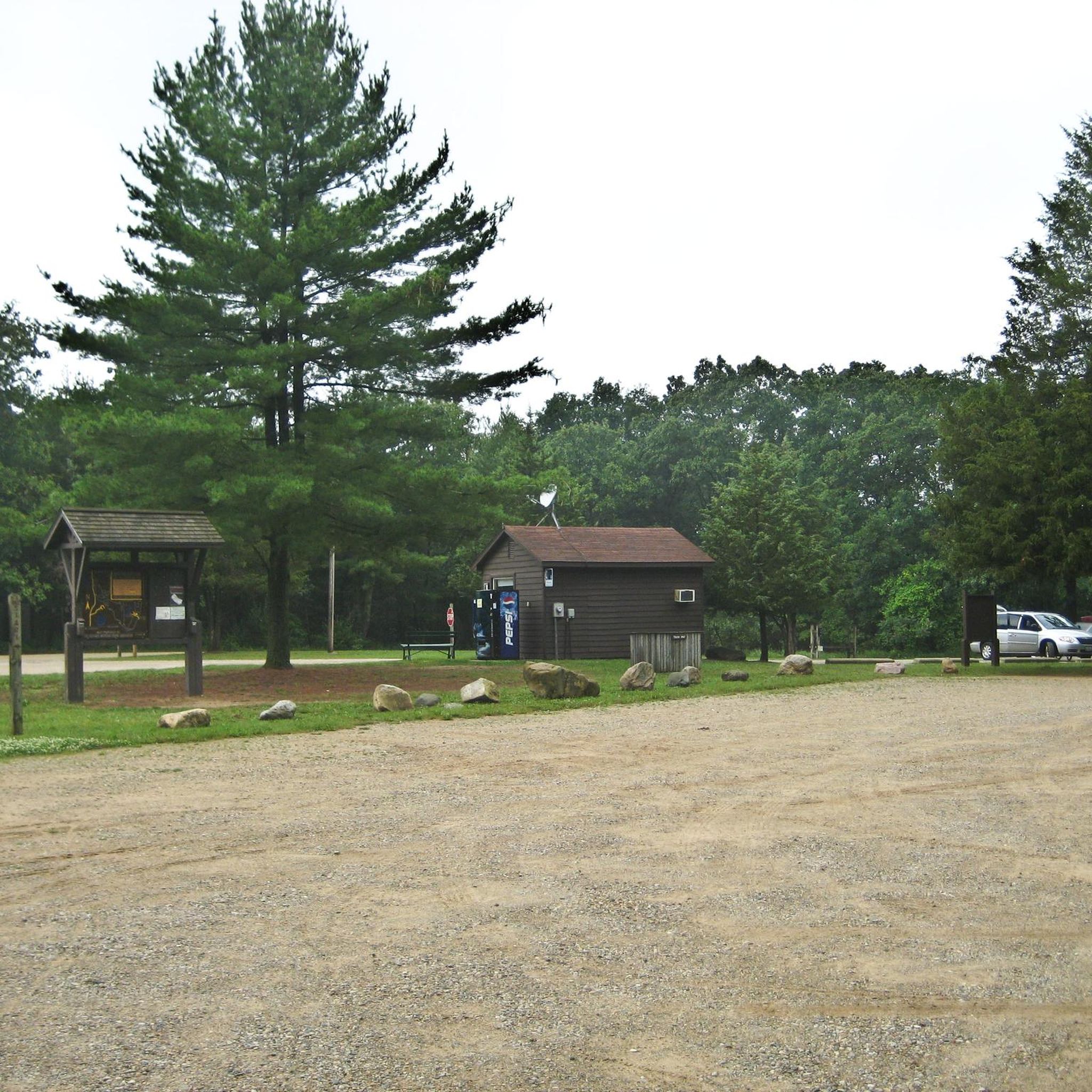
The Paul Henry–Thornapple Rail Trail is a 42-mile multi-use path in Michigan, following the old Grand River Valley Railroad route. Named after U.S. Representative Paul B. Henry, the trail offers scenic views of the Thornapple River and surrounding landscapes. Key sections are paved, with ongoing efforts to connect gaps. Trailheads like Bowen Station Park and Caledonia Lakeside Park provide amenities like parking, restrooms, and water. This trail blends recreation with historical preservation, attracting cyclists, hikers, and nature lovers.
0
0

Glenn Allen Island Preserve is a 10-acre forested island that splits the Kalamazoo River.
0
0
Kalamazoo Nature Center spans 1,100 acres of diverse ecosystems. With trails, interactive exhibits, and programs, it fosters environmental education. The center's commitment to conservation and sustainability creates a haven for nature enthusiasts and wildlife alike.
0
0


The Barry Roubaix offers two options: 36 miles and 62 miles.
0
0

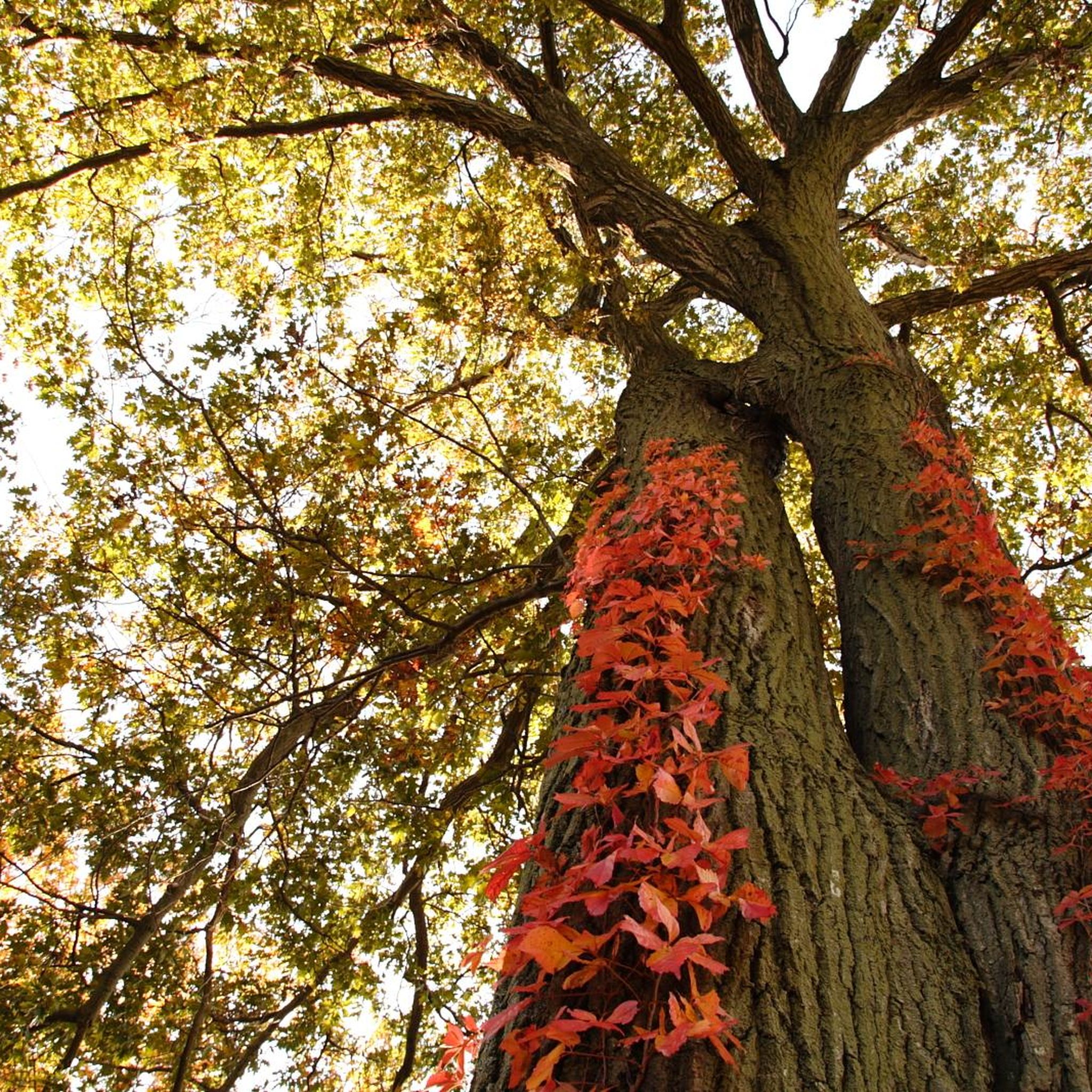
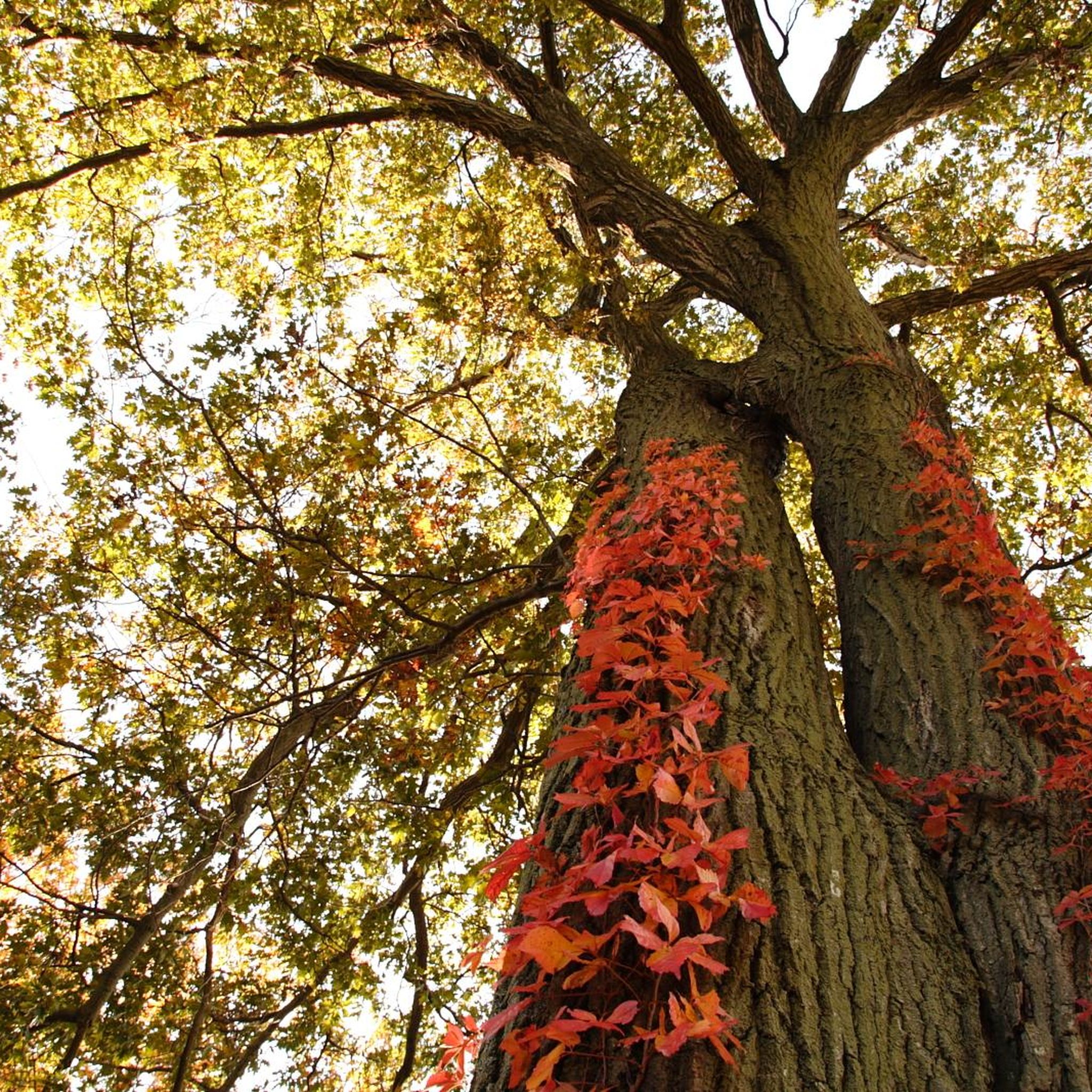
Hall Lake is far from the city noise, nestled in a wilderness setting. It is particularly picturesque in autumn when the leaves on the trees are tinged with warm colors.
0
0

Great stretch of paved bike trail. Safe with no traffic.
0
0
Frequently Asked Questions
What kind of terrain can I expect on road cycling routes in Barry County?
Barry County's landscape, shaped by glaciers, offers a diverse road cycling experience. You'll encounter rolling hills, routes winding alongside the Thornapple River, and numerous lakes. The terrain varies from paved paths to areas with moderate elevation changes through forested sections, providing options for different skill levels.
Are there routes suitable for beginners or those looking for an easy ride?
Yes, Barry County offers several easy road cycling routes. For instance, the Hall Lake loop from Yankee Springs Recreation Area is an easy 15.4-mile path that winds through scenic areas. Another accessible option is the Roadbike loop from Trailhead Parking, which covers 15.7 miles with minimal elevation gain.
What are some challenging road cycling routes in Barry County?
For those seeking a more challenging ride, Barry County has routes with significant elevation gains. The Barry Roubaix bike path – Hall Lake loop from Trailhead Parking is a moderate 40.3-mile route known for its varied terrain and notable climbs. Another moderate option is the Emmons Lake loop from Caledonia, a 34.5-mile trail through rural landscapes.
Are there any long-distance or multi-use trails for road cycling?
Yes, the **Paul Henry Thornapple Trail** is a significant multi-use paved trail that, when completed, will span 42 miles from Grand Rapids to Vermontville. It utilizes a former railroad corridor, offering a straightforward way to experience the county's natural beauty through wooded areas, fields, and small towns. While not exclusively for road bikes, its paved surface makes it suitable for longer rides.
What natural features or landmarks can I see along the cycling routes?
Many routes offer views of Barry County's distinctive glacial topography, including rolling hills and numerous lakes. You can cycle alongside the Thornapple River or through forested areas. The Yankee Springs Recreation Area is a prime example of this landscape, featuring dense hardwood forests and unique geological formations like Devil's Soup Bowl. Routes like the Spring Valley Park – Gull Lake loop from Richland offer scenic lake views.
Are there loop routes available for road cyclists?
Yes, many road cycling routes in Barry County are designed as loops, allowing you to start and end at the same point. Examples include the Hall Lake loop from Orangeville Island, the Hastings loop from Hastings, and the 76th Street Southeast loop from Trailhead Parking.
What is the best time of year for road cycling in Barry County?
The spring, summer, and fall months generally offer the best conditions for road cycling in Barry County. The fall is particularly vibrant due to the hardwood forests in areas like Yankee Springs Recreation Area. Always check local weather forecasts before heading out, as conditions can vary.
Are there places to park near the road cycling trails?
Yes, many routes in Barry County have designated parking areas. For example, the Barry Roubaix bike path – Hall Lake loop and the Roadbike loop both start from Trailhead Parking, indicating convenient access points for cyclists arriving by car.
What do other road cyclists say about the routes in Barry County?
Over 80 road cyclists have used komoot to explore Barry County's varied terrain. They often appreciate the diverse topography, from the rolling hills to the scenic routes alongside lakes and rivers, and the mix of easy and moderate options available.
Can I find cafes or places to stop for refreshments along the routes?
While specific cafes are not listed for every route, many routes pass through or near small towns like Hastings or Middleville, where you can typically find local establishments for refreshments. The Paul Henry Thornapple Trail, for example, passes through small towns where benches and rest areas are available for longer rides.
Are there any hidden gem routes for road cycling in Barry County?
For a route that offers a mix of rural landscapes and a unique name, consider The Hogback loop from Hickory Corners. This moderate 30.1-mile route provides a different perspective on the county's varied terrain.
How many road cycling routes are available in Barry County?
There are 14 road cycling routes available in Barry County, catering to various skill levels. This includes 8 easy routes and 6 moderate routes, ensuring options for both casual riders and those seeking more of a challenge.
Most popular attractions in Barry County

Get inspired with the komoot mobile app


Didn’t find what you were looking for?
Check out more Road cycling routes throughout Barry County below and find the perfect route in your destination.
Explore more
Browse the best Road cycling routes in other regions.
