The best MTB trails in Southeastern Connecticut Planning Region
4.6
(11)
201
riders
30
rides
Mountain biking in Southeastern Connecticut Planning Region offers diverse landscapes, from coastal areas to dense forests and rolling hills. The region is characterized by varied topography, including rocky ridges, roots, and technical climbs, providing a range of experiences for mountain bikers. Extensive open spaces and well-organized forest lands contribute to numerous trail opportunities. This varied terrain ensures engaging mountain biking routes across the region.
Best mountain bike trails in Southeastern Connecticut Planning Region
- The most popular mountain bike trail is…
Last updated: July 7, 2026
30
riders
17.2km
01:32
200m
200m
This easy 10.7-mile mountain biking loop in Mooween State Park offers varied terrain and historical sights around Red Cedar Lake.
5.0
(1)
5
riders
13.0km
01:08
180m
180m
If you're seeking mountain biking trails that offer more than just smooth cruising, the Air Line and Salmon River Forest Loop delivers a varied experience. This 8.1-mile (13.0 km) route,…

Sign up for free
31
riders
30.6km
03:00
240m
240m
Hard mountain bike ride. Good fitness required. Advanced riding skills necessary. Some portions of the route may require you to push your bike.
20
riders
13.5km
01:14
180m
180m
Moderate mountain bike ride. Great for any fitness level. Advanced riding skills necessary.
9
riders
23.0km
01:57
270m
270m
Easy mountain bike ride. Great for any fitness level. Suitable for all skill levels.
6
riders
18.6km
01:35
170m
170m
The Air Line State Park Trail – Former Lyman Viaduct loop from East Hampton offers a delightful mountain biking experience, winding through forests, wetlands, and open fields. You'll ride over…
5.0
(4)
7
riders
10.1km
00:50
100m
100m
Easy mountain bike ride. Great for any fitness level. Suitable for all skill levels.
4
riders
Easy mountain bike ride. Great for any fitness level. Suitable for all skill levels.
5.0
(1)
8
riders
20.8km
01:55
290m
290m
The Air Line State Park Trail loop from East Hampton offers a delightful mountain biking experience, tracing a historic rail route through forests and wetlands. You'll encounter picturesque views, especially…
5
riders
17.4km
01:35
220m
220m
Easy mountain bike ride. Great for any fitness level. Suitable for all skill levels.
Get access to more routes and recommendations from other explorers.
Sign up for free
Already have an account?
Our route recommendations are based on thousands of hikes, rides, and runs completed by other people on komoot.
Start today with a free account
Your next adventure awaits.
Login or Signup
Popular around Southeastern Connecticut Planning Region

MTB Trails in Pachaug State Forest

MTB Trails around Pawcatuck

MTB Trails in Day Pond State Park

MTB Trails around Colchester
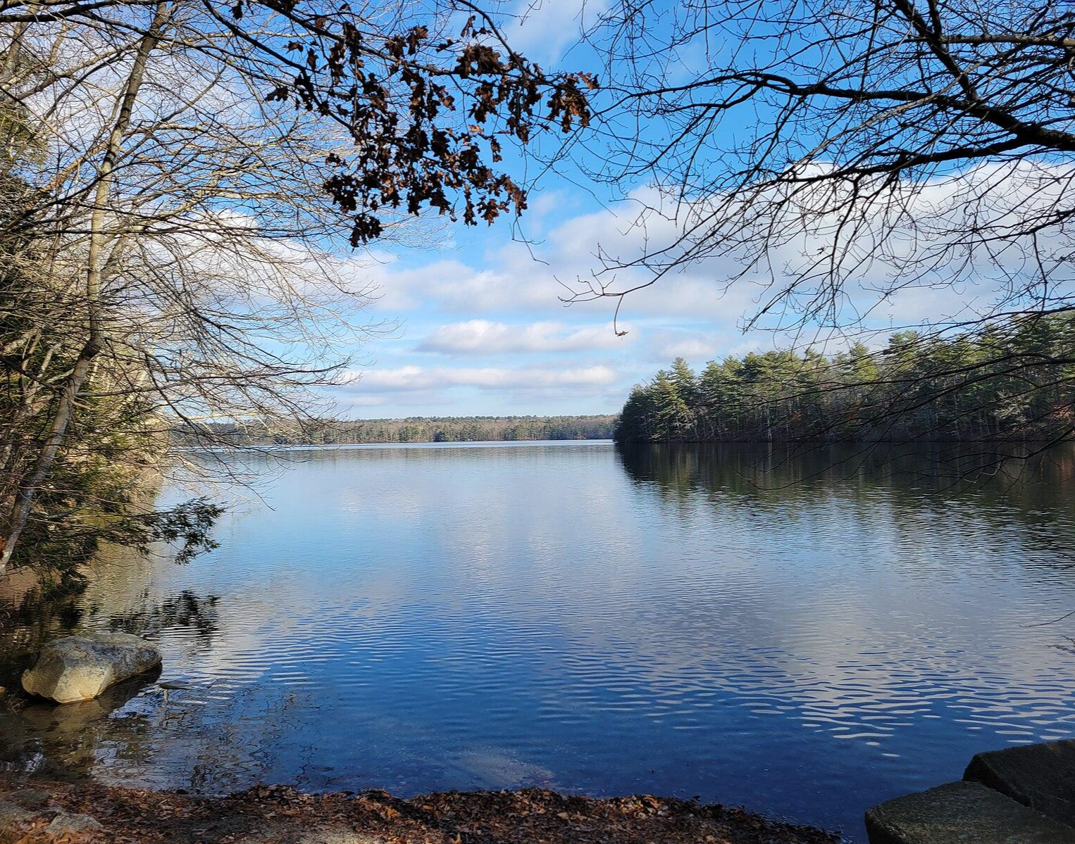
North-South Trail — The Smallest State's Longest Walk
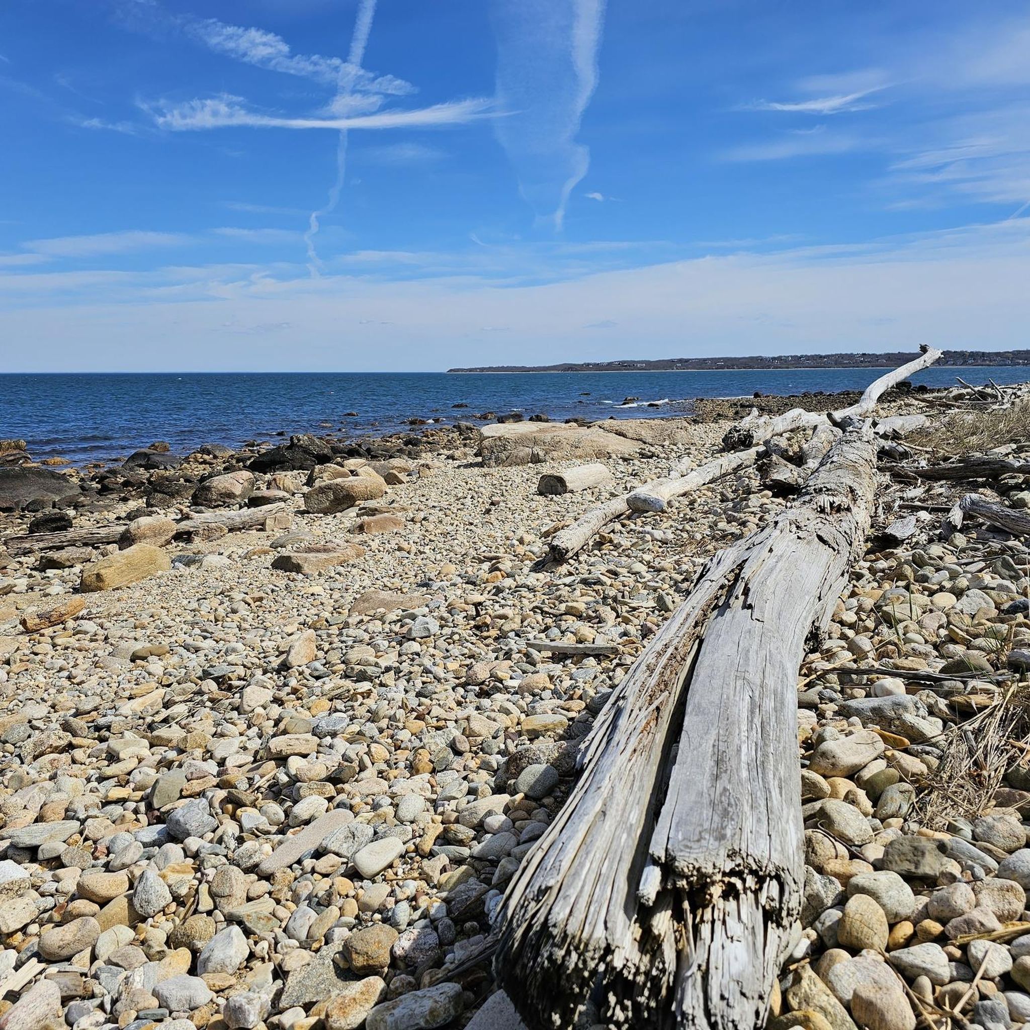
Hiking in Southeastern Connecticut Planning Region
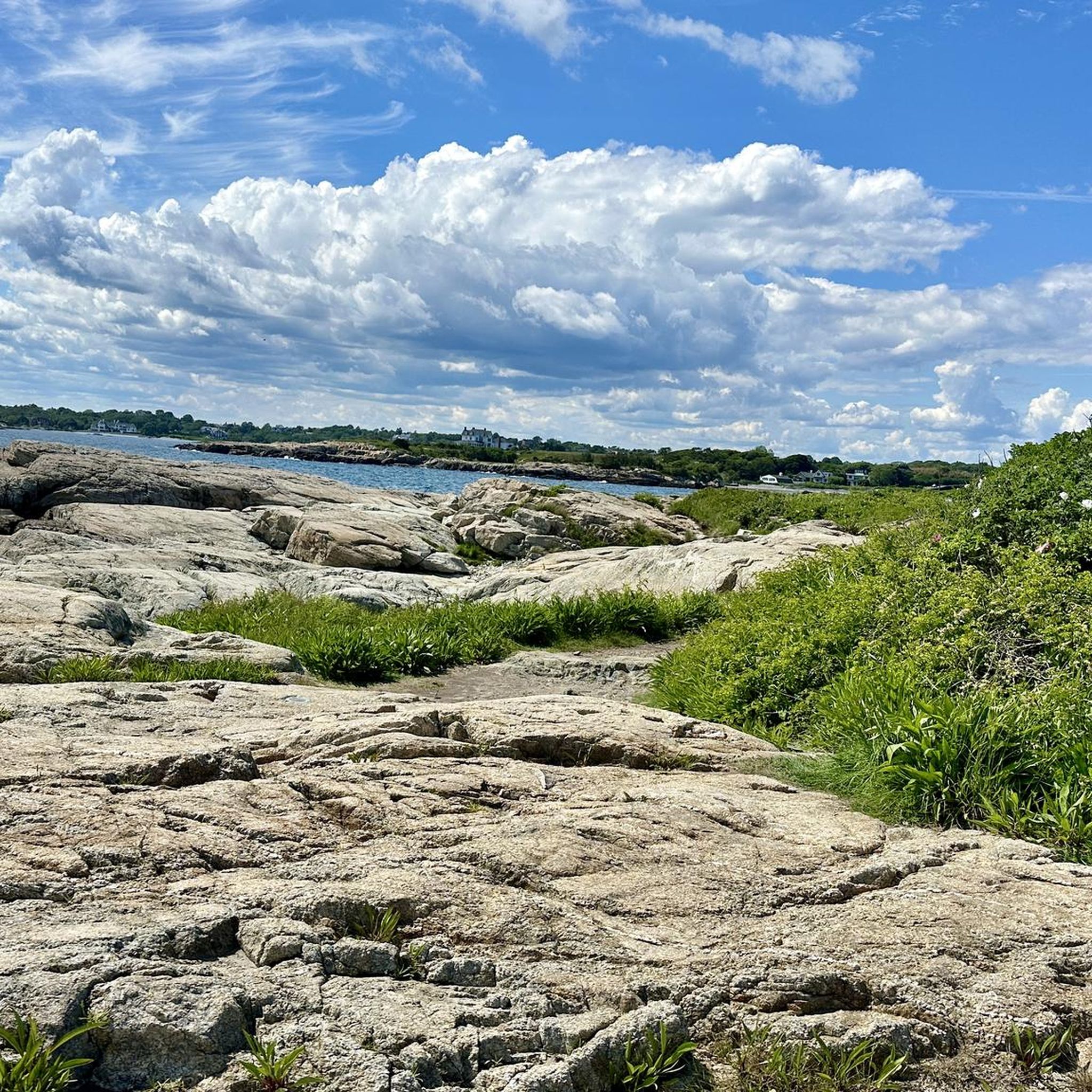
Cycling in Southeastern Connecticut Planning Region
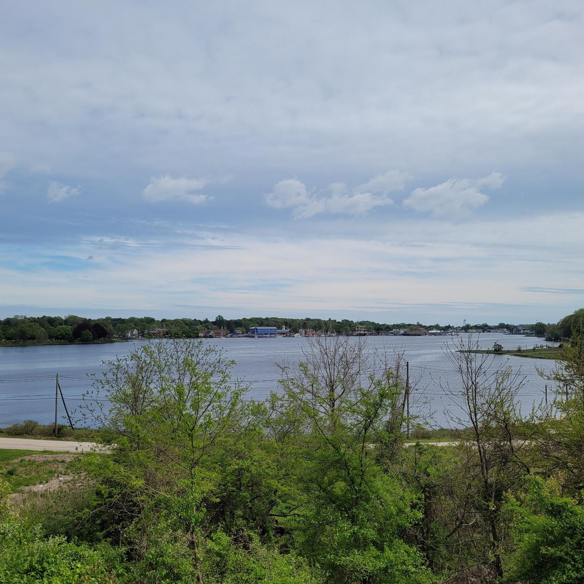
Road Cycling Routes in Southeastern Connecticut Planning Region
Running Trails in Southeastern Connecticut Planning Region

Gravel biking in Southeastern Connecticut Planning Region
Other adventures in Southeastern Connecticut Planning Region

Tips from the Community

The Air Line State Park Trail in Connecticut is a rail trail and linear state park that is a part of the East Coast Greenway. There are several sections including: South (25 miles from East Hampton to Windham), North (21 miles from Windham to Putnam), Thompson addition (6.6 miles from Thompson to the Massachusetts state line), and an additional 3.6-mile spur to Colchester. Recognized as a national recreation trail by the U.S. Department of the Interior in 2002, it offers scenic routes for hiking and biking. This southern section of the trail near East Hampton is a gravel crushed trail that is great to ride on its own, or to access singeltrack in the nearby Salmon River Forest.
0
0

This conservation property contains fun, rolling singletrack trails that also span into town and state property. Keep your eye out for tree roots and rocks, and also stay aware of where you're going because most of these trails are not marked.
1
0

Undeveloped state park right next to Red Cedar Lake. From the road, there are great views of the lake. There are some picnic tables in the park, but no bathrooms.
0
0

Air Line State Park Trail is a gravel crushed trail that runs on an old rail bed. It's a great trail to ride on its own or to access singeltrack in the Salmon River Forest.
0
0
Undeveloped state park right next to Red Cedar Lake. From the road, there are great views of the lake. There are some picnic tables in the park, but no bathrooms.
0
0

Naughty Nurse Trail is a beginner friendly trail in the Woody Hill Management Area. You can expect lots of nice berms and exciting stone wall crossings.
1
0

Completely gravel but mostly compacted. Loose rocks in some areas.
2
0
If you look to the sides of the path, you can see some of the beams and rails of the buried bridge.
1
0
Frequently Asked Questions
How many mountain bike trails are available in Southeastern Connecticut Planning Region?
There are over 30 mountain bike routes available in the Southeastern Connecticut Planning Region. These trails cater to various skill levels, with 23 easy, 7 moderate, and 1 difficult route.
What kind of terrain can I expect on mountain bike trails in Southeastern Connecticut?
Southeastern Connecticut offers diverse terrain for mountain biking, characterized by rolling hills, dense forests, and significant elevation changes. You'll encounter features like rocky ridges, roots, and technical climbs, often referred to as 'New England Tech' style riding. The region also features coastal paths and tranquil wooded areas.
Are there any family-friendly mountain bike trails in the region?
Yes, there are several family-friendly options. Many of the easy routes are suitable for families. For example, the Mooween State Park loop is an easy 17.2 km trail through tranquil woodlands, and the Air Line and Salmon River Forest Loop offers a gentle 13.0 km ride combining historic paths with forest trails.
Can I bring my dog on the mountain bike trails?
Many state parks and forests in Southeastern Connecticut, including areas like Bluff Point State Park and Haley Farm State Park, generally allow dogs on trails, often requiring them to be on a leash. It's always best to check specific park regulations before you go, as rules can vary.
What are some notable natural features or attractions along the mountain bike routes?
The region offers a blend of natural beauty and historical sites. You might encounter coastal views along Long Island Sound, especially near Bluff Point State Park. Highlights include the Perkins Wildlife Corridor and the Barn Island Wildlife Management Area. For a unique experience, consider routes near the Mystic River Bascule Bridge.
Are there any challenging mountain bike trails for experienced riders?
While the majority of trails are easy to moderate, there is at least one difficult route for experienced riders. The Hobbit Juice Trailhead loop from Bradford is a 13.6 km trail that offers a more demanding ride with technical features typical of the 'New England Tech' style.
What is the best time of year to go mountain biking in Southeastern Connecticut?
The spring and fall seasons are generally ideal for mountain biking in Southeastern Connecticut due to milder temperatures and beautiful foliage. Summer can also be enjoyable, but be prepared for warmer weather and potential humidity. Winter riding is possible on some trails, but conditions can be variable with snow and ice.
Are there any mountain bike trails that are loop routes?
Yes, many of the mountain bike trails in the region are designed as loops, offering a convenient way to explore without retracing your steps. Examples include the Mooween State Park loop and the Naughty Nurse Trail – Hobbit Juice Trailhead loop from Bradford.
What do other mountain bikers say about the trails in Southeastern Connecticut Planning Region?
The mountain biking routes in Southeastern Connecticut Planning Region are highly rated by the komoot community, with an average score of 4.6 stars from more than 8 reviews. Over 190 mountain bikers have used komoot to explore the varied terrain, often praising the diverse landscapes and engaging rides.
Are there any trails that follow historic paths?
Yes, the region features trails that incorporate historic elements. The Air Line and Salmon River Forest Loop combines sections of the historic Air Line State Park Trail with forest paths, offering a unique blend of history and nature.
Where can I find information about open spaces and trail development in the region?
Southeastern Connecticut is rich in open space areas and well-organized forest lands, contributing to numerous trail opportunities. For more information on regional open space initiatives, you can visit the Southeastern Connecticut Council of Governments website: secogct.gov/open-space.
Are there any trails near the coast?
Yes, the region offers mountain biking experiences with coastal scenery. Bluff Point State Park in Groton, for instance, provides trails with stunning views of Long Island Sound, blending coastal paths with tranquil wooded sections.
Most popular routes in Southeastern Connecticut Planning Region
Most popular attractions in Southeastern Connecticut Planning Region

Get inspired with the komoot mobile app


Didn’t find what you were looking for?
Check out more MTB trails throughout Southeastern Connecticut Planning Region below and find the perfect route in your destination.
Explore more
Browse the best MTB trails in other regions.
