The best road cycling routes in Clay County
5.0
(26)
131
riders
23
rides
Road cycling in Clay County, Florida, features generally flat terrain, making it accessible for various skill levels. The region is characterized by a blend of suburban areas and natural beauty, including extensive paved trails and scenic waterways. Cyclists can explore lush, tree-lined streets and routes along the St. Johns River, Doctors Lake, and Black Creek. The landscape offers diverse natural features such as sandhills and hardwood hammocks, providing varied scenery for road cycling.
Best road cycling routes in Clay County
…Last updated: September 28, 2026
5.0
(1)
11
riders
46.7km
01:59
60m
60m
Easy road ride. Great for any fitness level. Mostly well-paved surfaces and easy to ride.
5.0
(4)
9
riders
54.0km
02:05
50m
50m
Moderate road ride. Good fitness required. Mostly well-paved surfaces and easy to ride.

4
riders
19.1km
00:48
20m
20m
Easy road ride. Great for any fitness level. Mostly well-paved surfaces and easy to ride.
2
riders
59.5km
02:19
50m
50m
Moderate road ride. Good fitness required. Mostly well-paved surfaces and easy to ride.
1
riders
25.8km
01:04
30m
30m
Easy road ride. Great for any fitness level. Mostly well-paved surfaces and easy to ride.
5.0
(1)
12
riders
Easy road ride. Great for any fitness level. Mostly well-paved surfaces and easy to ride.
12
riders
Easy road ride. Great for any fitness level. Mostly well-paved surfaces and easy to ride.
5.0
(6)
5
riders
35.5km
01:37
70m
70m
Easy road ride. Great for any fitness level. Mostly well-paved surfaces and easy to ride.
4.7
(6)
8
riders
38.0km
01:41
40m
40m
Easy road ride. Great for any fitness level. Mostly well-paved surfaces and easy to ride.
13
riders
21.1km
00:58
60m
60m
Easy road ride. Great for any fitness level. Mostly well-paved surfaces and easy to ride.
Get access to more routes and recommendations from other explorers.
Already have an account?
Our route recommendations are based on thousands of hikes, rides, and runs completed by other people on komoot.
Start today with a free account
Your next adventure awaits.
Tips from the Community

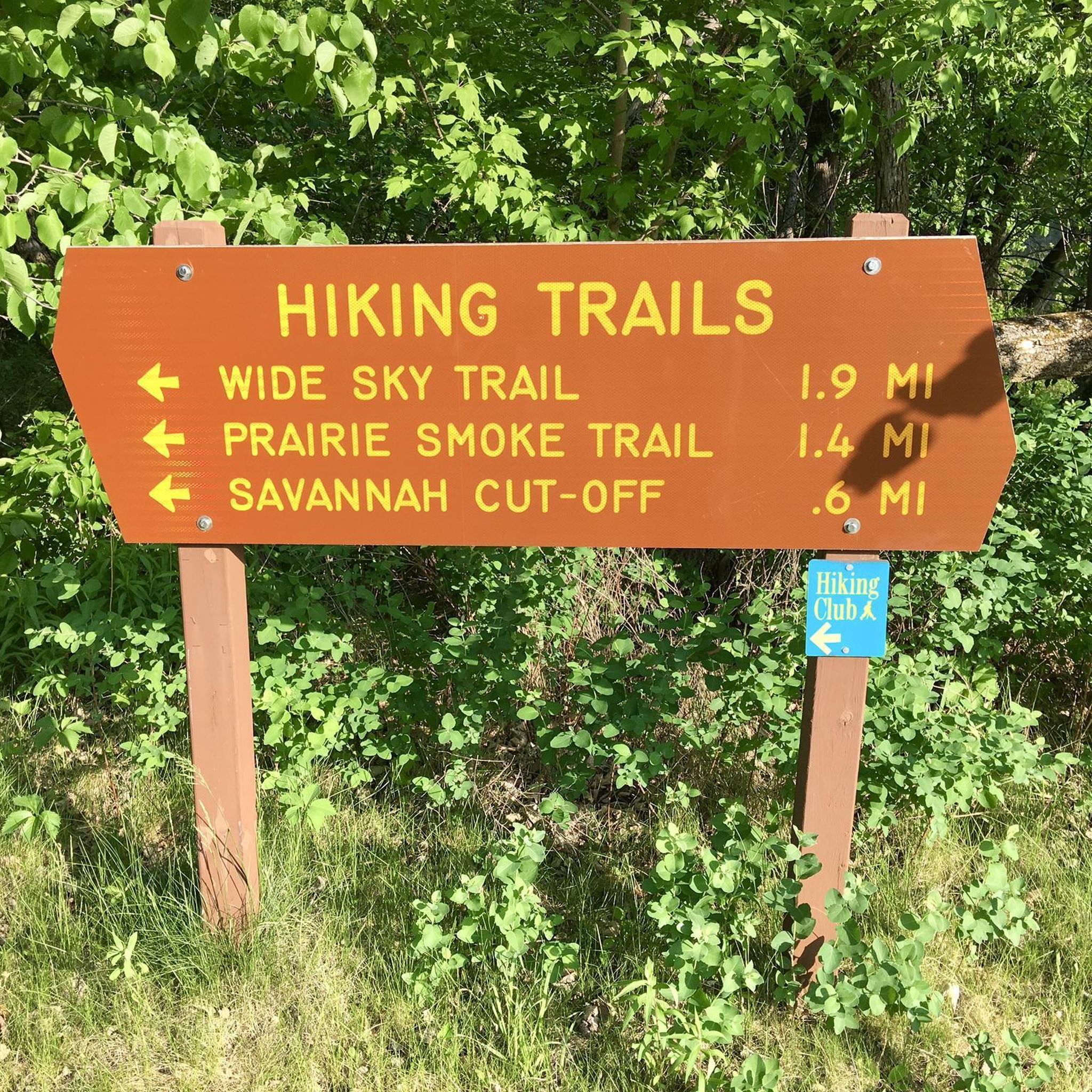
Located at the confluence of Rose Creek and the Red River this park has a lot to offer. You'll find wooded trails, a rustic Amphitheater, a windmill, and plenty of information boards to teach you about the local flora and fauna.
0
0
This park has undergone a full renovation after recent flooding. It's a great place to visit or meet up with your team for a softball game.
0
0

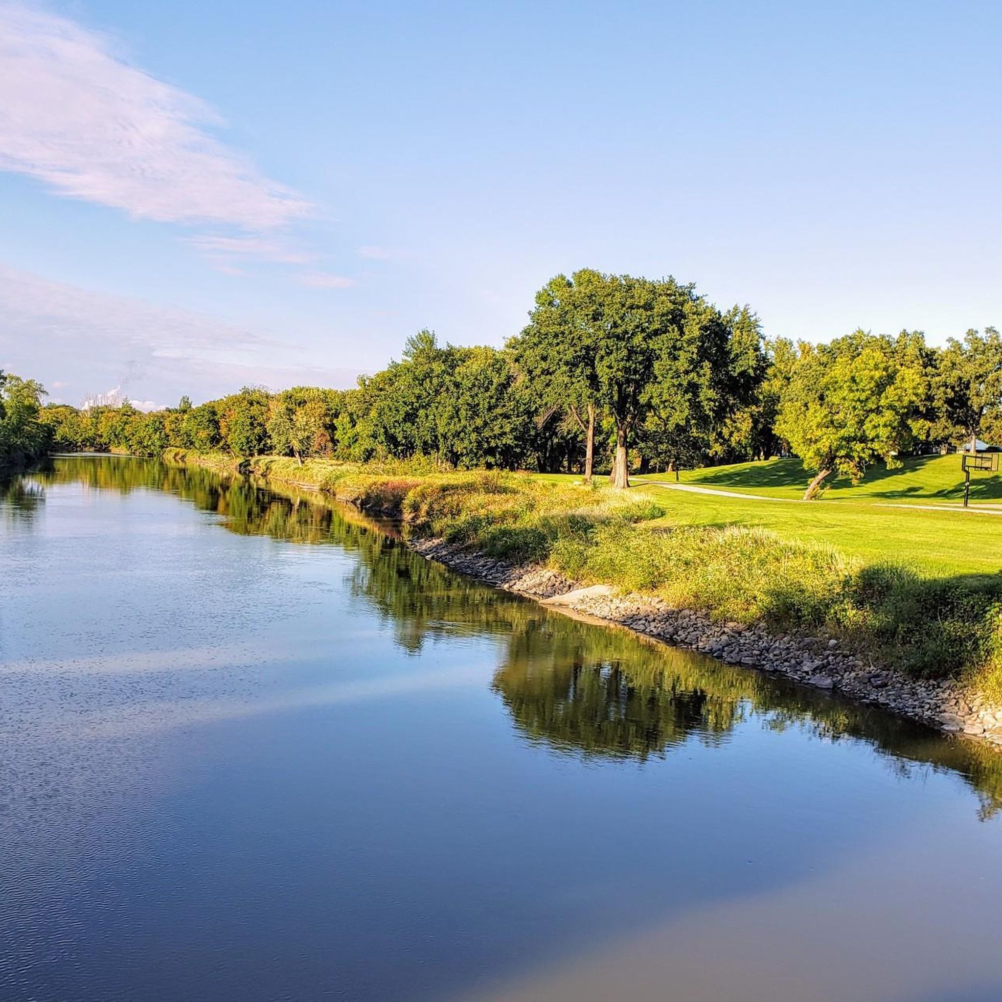
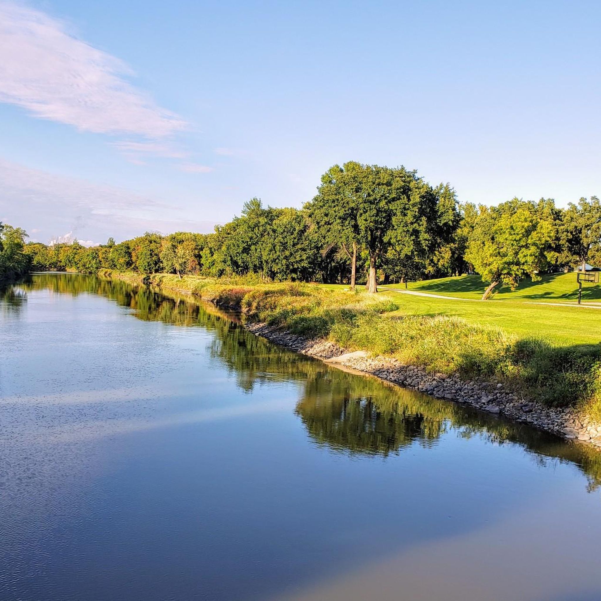
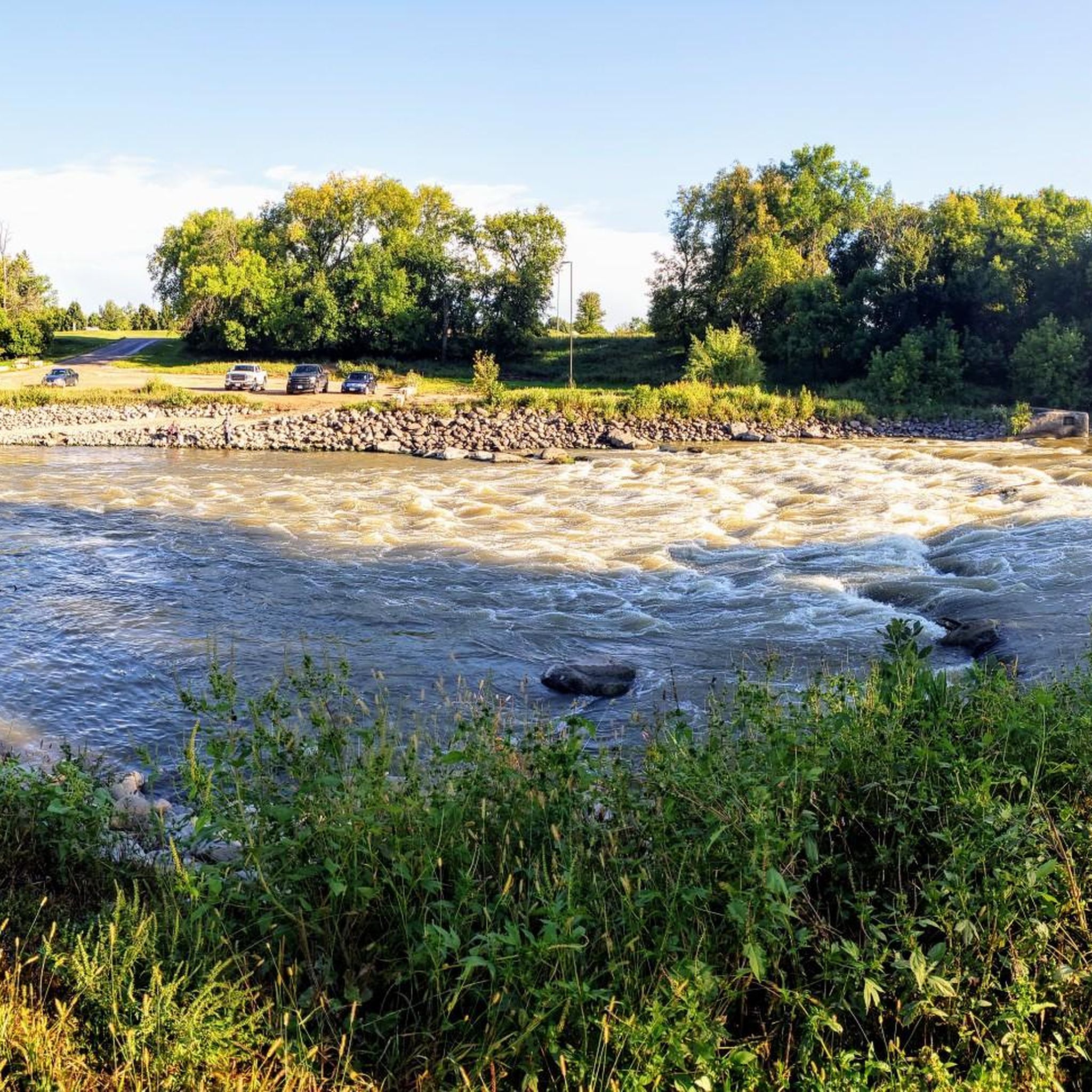
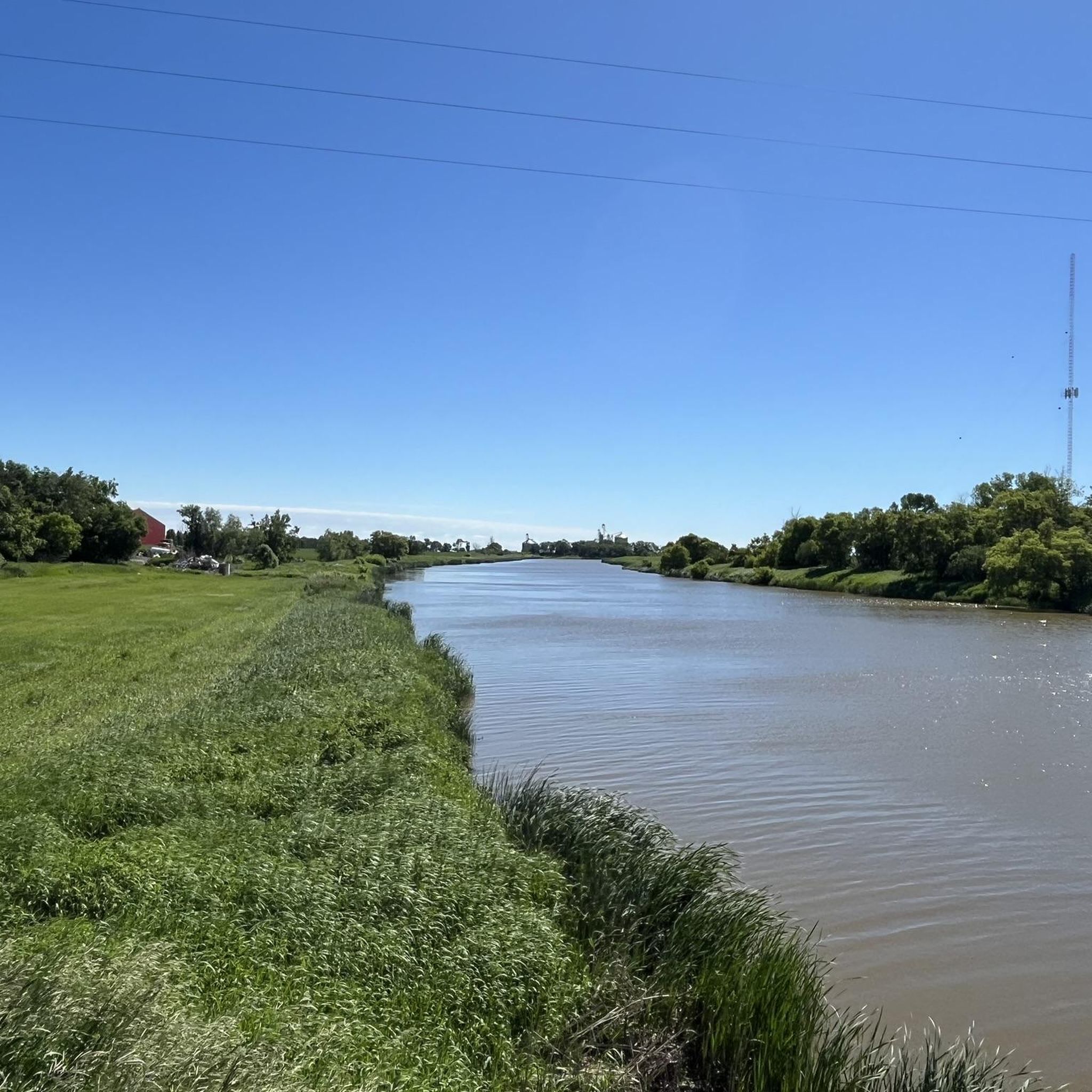
The Red River of the North flows near Fargo and forms a natural border between North Dakota and Minnesota. Despite occasional flooding, the river provides recreational opportunities for fishing, boating, and hiking along its scenic banks.
0
0
Harwood is a quaint rural community, just outside of Fargo. The town offers a mix of residential areas, local businesses, and agricultural surroundings.
0
0
Sabin is a charming small town just across the river from Fargo on the Minnesota side. The town boasts a rural ambiance with well-kept streets, local businesses, and a focus on preserving its small-town charm.
0
0

Known as the Red River of the North, this river flows northward through the Red River Valley and forms most of the border between the states of North Dakota and Minnesota.
0
0
This pedestrian bridge that crosses the Red River from Lindenwood Park to Gooseberry Park closes in the event of flooding but is otherwise open for use. Updates on the status of the bridge can be found on Fargo Parks and Recreation's website.
0
0
This replica of a Scandinavian stave church is a testament to the area's Norwegian culture and past. It was built between 1996 and 2001. It is operated by Clay County's Historical and Cultural Society.
0
0
Frequently Asked Questions
What is the general terrain like for road cycling in Clay County?
Clay County, Florida, is known for its generally flat terrain, making it accessible for road cyclists of all skill levels. The routes often feature lush, tree-lined streets and scenic stretches along waterways like the St. Johns River, Doctors Lake, and Black Creek.
How many road cycling routes are available in Clay County?
There are over 20 road cycling routes available in Clay County on komoot, offering a variety of options for different preferences and skill levels.
Are there easy or beginner-friendly road cycling routes in Clay County?
Yes, Clay County is very welcoming for beginners and casual riders. A significant portion of the routes, 13 out of 21, are rated as easy. For example, the Wall Street loop is an easy 11.9-mile (19.1 km) ride, perfect for a relaxed outing.
Are there any challenging road cycling routes for experienced riders?
While Clay County's terrain is predominantly flat, offering many easy and moderate routes, there are no routes currently classified as 'difficult' on komoot. Experienced riders can find longer, moderate routes like the Harwood loop, which covers 37.0 miles (59.5 km), to extend their ride and enjoy the scenic landscapes.
What are the typical lengths of road cycling routes in Clay County?
Route lengths vary, but many popular options range from 12 to 37 miles (19 to 60 km). For instance, the St. Benedict loop is 29.0 miles (46.7 km), while the Sabin loop is 33.6 miles (54.0 km), offering good distances for a satisfying ride.
Are there paved trails suitable for road cycling in Clay County?
Yes, Clay County features extensive paved trails. The Black Creek Biking Trail is a popular 8-mile paved route along Highway 17, connecting Green Cove Springs and Orange Park, ideal for road cyclists. The county is also actively planning to expand its multi-use trail network.
What kind of scenic views can I expect on road cycling routes in Clay County?
Road cycling routes in Clay County offer picturesque views, particularly along the St. Johns River, Doctors Lake, and Black Creek. You'll also find lush, tree-lined streets and diverse natural landscapes, including sandhills and hardwood hammocks, providing varied scenery throughout your ride.
Are there any circular road cycling routes in Clay County?
Many of the road cycling routes in Clay County are designed as loops, allowing you to start and end at the same point. Examples include the St. Benedict loop, Sabin loop, and Harwood loop, providing convenient options for exploring the area.
What do other road cyclists say about the routes in Clay County?
The road cycling routes in Clay County are highly rated by the komoot community, with an average score of 4.96 stars from over 25 reviews. Cyclists often praise the flat terrain, scenic waterways, and well-maintained paved trails that make for enjoyable rides.
What is the best time of year for road cycling in Clay County?
Clay County benefits from a mild year-round climate, making it suitable for road cycling in most seasons. However, the cooler, drier months from late fall through early spring (roughly November to April) are often preferred to avoid the higher heat and humidity of summer.
Are there family-friendly road cycling options in Clay County?
Yes, the generally flat terrain and extensive paved trails, such as the Black Creek Biking Trail, make Clay County an excellent destination for family-friendly road cycling. Many easy routes are suitable for riders of all ages and skill levels.
Where can I find parking for road cycling trails in Clay County?
Many parks and trailheads offer convenient parking. For instance, Black Creek Park serves as a good starting point for the Black Creek Biking Trail and provides amenities like parking and restrooms.
Most popular attractions in Clay County

Get inspired with the komoot mobile app


Didn’t find what you were looking for?
Check out more Road cycling routes throughout Clay County below and find the perfect route in your destination.
Explore more
Browse the best Road cycling routes in other regions.
