The best road cycling routes in Eagle County
4.6
(31)
3,766
riders
66
rides
Road cycling routes in Eagle County, Colorado, traverse a diverse landscape within the White River National Forest, characterized by mountains, extensive wilderness areas, and varied ecosystems including forests, alpine tundra, and river valleys. The region features significant waterways like the Eagle River and Colorado River, alongside natural monuments such as Ruedi Reservoir and high-elevation passes like Kokomo Pass. An extensive network of paved bike paths, including the Vail recreation path system, connects towns and natural areas, offering both scenic valley rides and challenging high-elevation mountain routes.
Best road cycling routes in Eagle County
- The most popular road cycling route is Vail, Fremont, and Tennessee Pass loop, a 80.1 miles (128.9 km) trail that takes 7 hours 35 minutes to complete. This difficult route offers high-altitude views and challenging climbs through the Camp Hale-Continental Divide National Monument.
- Another top favourite among local road cyclists is Vail to Copper Mountain via Vail Pass, a difficult 43.5 miles (70.0 km) path. This route features challenging climbs and scenic mountain views as it connects Vail to Copper Mountain.
- Local road cyclists also love the Gore Valley Trail, a 26.1 miles (42.0 km) trail leading through Vail Village, Lionshead, and open spaces, often completed in about 2 hours 8 minutes.
- Road cycling in Eagle County is defined by high-elevation mountain passes, scenic river valleys, and extensive paved path systems. The network offers options for different ability levels, from valley rides to challenging mountain ascents.
- The routes in Eagle County are highly rated by the komoot community with an average score of 4.3 stars from over 14 reviews. More than 2,000 road cyclists have used komoot to explore Eagle County's varied terrain.
Last updated: September 26, 2026
4.5
(4)
412
riders
129km
07:35
2,000m
2,000m
This difficult 80.1-mile road cycling loop in the Camp Hale-Continental Divide National Monument offers high-altitude views and challenging
5.0
(1)
162
riders
70.0km
03:46
1,070m
1,070m
This difficult 43.5-mile road cycling route from Vail to Copper Mountain via Vail Pass offers challenging climbs and scenic mountain views.

5.0
(3)
171
riders
52.5km
02:45
810m
810m
Cycle the scenic 32.6-mile (52.5 km) Vail to Vail Pass Summit road cycling route, a moderate climb with dedicated paths and mountain views.
5.0
(1)
150
riders
92.2km
05:05
1,380m
1,380m
This difficult 57.3-mile road cycling route from Vail to Frisco via Vail Pass offers high-alpine scenery and challenging climbs.
5.0
(2)
89
riders
42.0km
02:08
480m
480m
Cycle the moderate 26.1-mile Gore Valley Trail, enjoying paved paths, scenic river views, and access through Vail's villages.
56
riders
47.0km
02:26
650m
650m
Cycle the moderate 29.2-mile Gore Valley Trail, enjoying scenic views along Gore Creek and through Vail and Lionshead villages.
46
riders
50.9km
03:04
840m
840m
Cycle the moderate 31.6-mile Avon to Red Cliff route through Eagle County, enjoying Rocky Mountain views and the historic Red Cliff Bridge.
31
riders
102km
04:53
710m
710m
The Eagle Valley Trail offers a fantastic road cycling experience, winding through Colorado's picturesque Eagle River Valley. You'll enjoy diverse scenery, from open spaces and golf courses to charming residential neighborhoods, all set against a backdrop of stunning mountain and river vistas. The trail often runs right alongside the Eagle River, providing constant views, and the section near Vail is particularly scenic, evoking a 'mini-Switzerland' feel at the base of the ski resort. It's a predominantly paved route, perfect for a long, engaging ride.
Planning your ride on this route is straightforward, as it connects several towns along the I-70 corridor, including Vail, Eagle, and Dotsero, offering multiple access points. While the trail is generally easy to moderate, covering 63.4 miles (102.0 km) with 2331 feet (710 metres) of elevation gain over about 4 hours and 53 minutes, be prepared for some gradual uphill climbs, especially when heading eastward. The trail can get busy, so stay alert for other users, particularly around blind corners.
This multi-use, non-motorized path is a significant regional asset, designed for all ages and connecting to other local trail networks. Its close proximity to the Eagle River is a defining characteristic, and the long-term vision is to create a continuous 63-mile route from Vail Pass to Glenwood Canyon. The trail allows you to explore local businesses and recreation centers in the towns it passes through, making it more than just a ride but an exploration of the valley.
19
riders
68.7km
05:06
1,360m
1,360m
This difficult 42.7-mile gravel cycling loop from Vail offers stunning alpine views, including Mount of the Holy Cross, and 4461 feet of cli
18
riders
84.7km
04:28
640m
640m
Cycle the 52.6-mile Glenwood Canyon Recreation Trail, a moderate route through dramatic canyon scenery alongside the Colorado River.
Get access to more routes and recommendations from other explorers.
Already have an account?
Our route recommendations are based on thousands of hikes, rides, and runs completed by other people on komoot.
Start today with a free account
Your next adventure awaits.
Popular around Eagle County
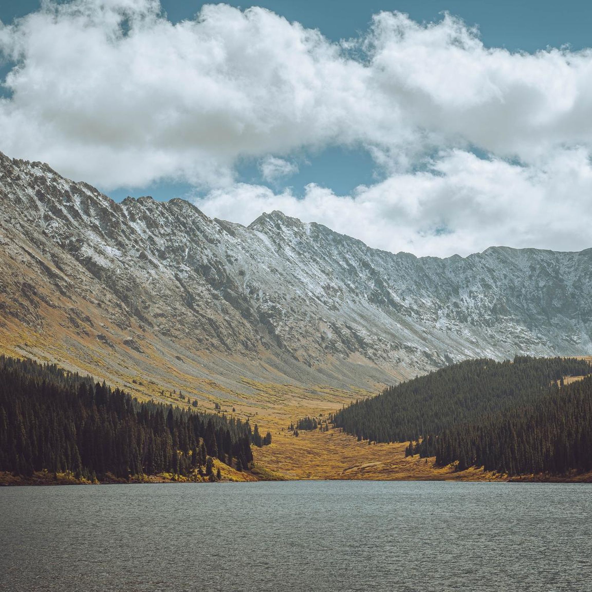
Road Cycling Routes in the Gore Range
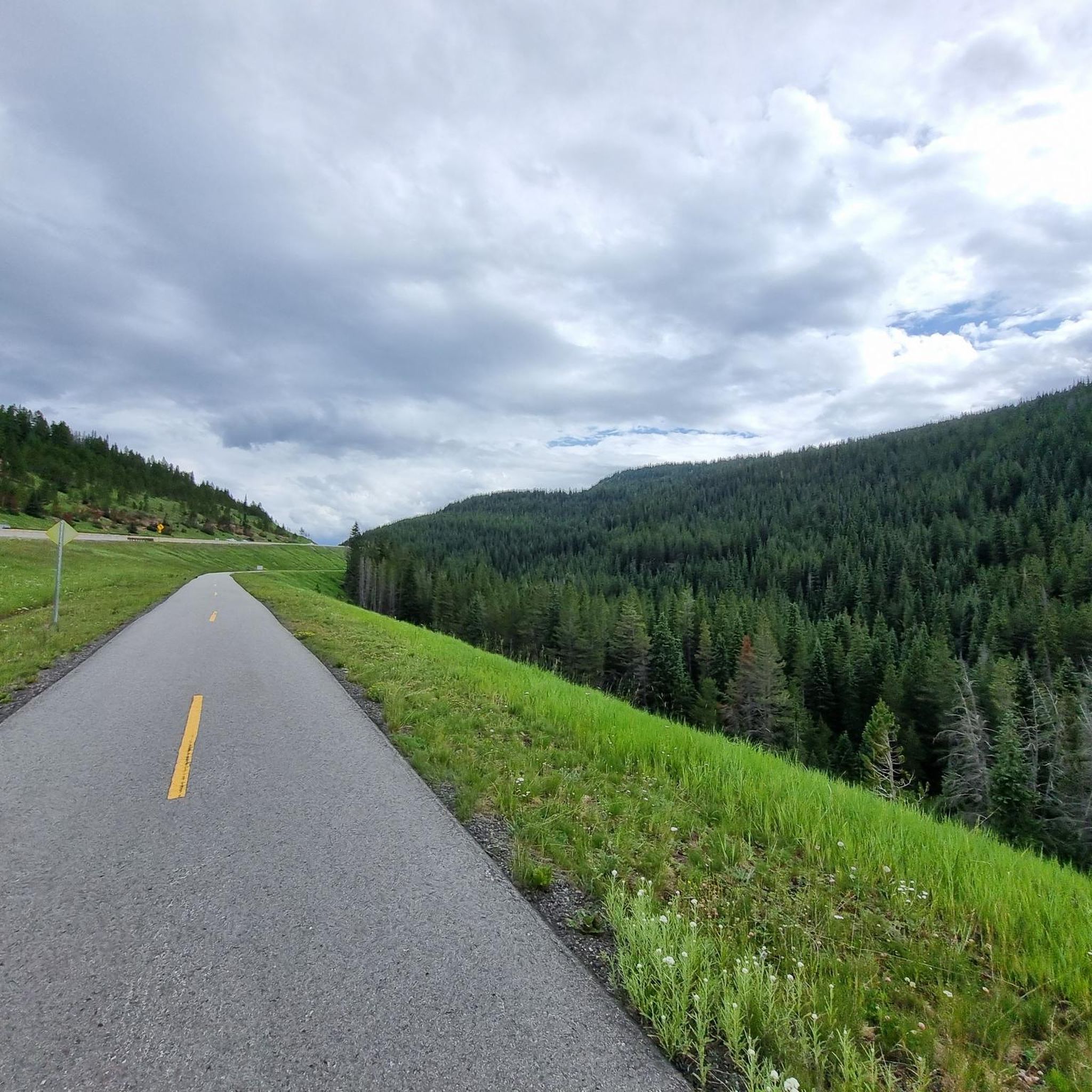
Road Cycling Routes around Vail
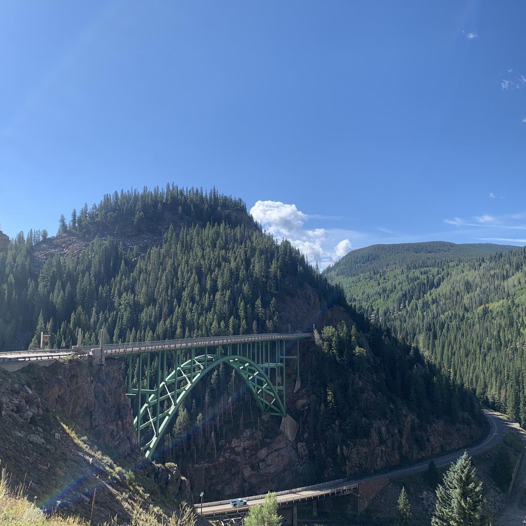
Road Cycling Routes around Red Cliff
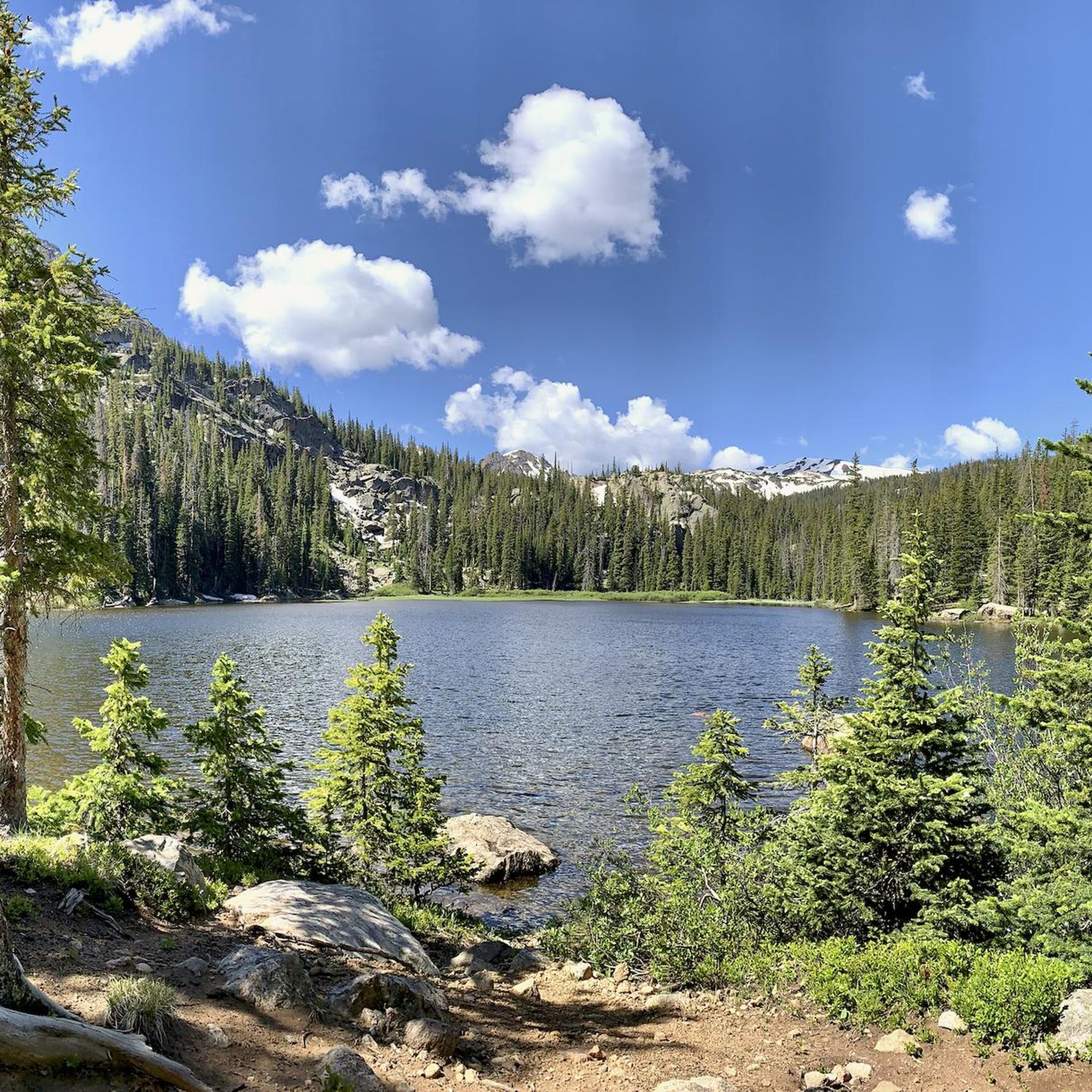
Road Cycling Routes in Eagles Nest Wilderness
Road Cycling Routes in Holy Cross Wilderness
Road Cycling Routes around Minturn
Road Cycling Routes around El Jebel
Road Cycling Routes around Avon

Road Cycling Routes around Wolcott
Road Cycling Routes around Edwards
Other adventures in Eagle County

Tips from the Community

As unique as it is beautiful the Red Cliff Bridge is Colorado's only cantilevered steel arch bridge. Originally constructed in 1940, the bridge was heavily restored in 2004. It has been listed on the National Register of Historic Places since 1985
0
0

Avondale Lane takes riders right under the awning and loading area of Market Square at Beaver Creek. This area has hotels, shops, and an ice rink and is a popular winter and summer destination. The Beaver Creek architecture mimics the European Alpine village look.
0
0

Shrine Pass Road is a well-maintained, gravel jeep road that connects the summit of Vail Pass to Red Cliff, Colorado. From Vail Pass and back it is 23 miles with 3,000 feet of elevation gain round trip, with truly amazing views of Mount of the Holy Cross. This is great place to explore if you wish to add a little extra mileage (and some gravel grinding) to your Vail Pass ride that is away from some of the crowds. Although it is doable on a road bike, wider tires (30mm+) or a gravel bike will make the experience more comfortable and enjoyable.
0
0
The Vail Pass Bike Path, or Vail Pass RecPath is 8.7 miles (one way) up from the town of Vail to the summit of Vail Pass. The bike trail begins on old Highway 6 for the first 3.5 miles. After that, turn right to follow the path to up Vail Pass (if you miss the turn and continue straight, the old highway ends after about .25 miles). As you ride, enjoy the stunning scenery safely away from cars. Once you hit the summit of Vail Pass, there are bathrooms, water, and parking. You can either then turn back and enjoy a super fun descent back down to Vail, or ride down the other side to Copper Mountain and back.
0
0
From this spot on Bighorn Road, you get fantastic, sweeping views of Vail Valley, the ski resort, and surrounding mountains. This is a great place to pause and sip some water on the steep ascent, or admire as you fly down on the fast descent.
0
0

There are actually a couple Black Lakes here just off the side of the paved bike path. A bit down the south side of the pass is the main parking area and facilities for Vail Pass.
0
0

This lake provides stunning views of mountains, pine trees, red rocks, and water, truly encapsulating the Colorado experience. Regularly stocked with trout, it's a good place to stop, and if you choose to fish, make sure you have a fishing license.
0
0
This iconic bridge is located in Red Cliff, Colorado and is also known as the Red Cliff Bridge or Eagle River Bridge. Spanning the Eagle River, the Red Cliff Bridge is a distinctive historic landmark in the town.
0
0
Frequently Asked Questions
How many road cycling routes are available in Eagle County?
Eagle County offers a wide variety of road cycling experiences, with over 50 routes available for exploration. These routes cater to all skill levels, from leisurely valley rides to challenging high-elevation mountain ascents.
What is the best time of year for road cycling in Eagle County?
The prime season for road cycling in Eagle County is typically during the warmer months, from late spring through early fall. During this time, you can enjoy clear conditions and access to high-elevation routes like the Vail Pass Bike Path. While some lower elevation paths might be accessible in winter, many mountain routes will be snow-covered.
Are there any family-friendly or beginner-level road cycling routes in Eagle County?
Yes, Eagle County features extensive paved bike paths suitable for families and beginners. The Vail recreation path system, with over 15 miles within Vail, connects neighborhoods and parks. The Gore Valley Trail is another excellent option, offering a scenic ride through Vail Village and open spaces.
Which routes offer challenging climbs and high-altitude views for experienced cyclists?
For experienced riders seeking a challenge, Eagle County delivers. The Vail, Fremont, and Tennessee Pass loop is an 80.1-mile difficult route with significant elevation gain through the Camp Hale-Continental Divide National Monument. Another demanding option is the Vail to Copper Mountain via Vail Pass, a 43.5-mile route featuring challenging climbs and stunning mountain views.
What scenic natural features can I expect to see along the road cycling routes?
Eagle County's routes traverse diverse landscapes within the White River National Forest. You can expect to see mountains, alpine tundra, and river valleys. Notable natural monuments include the clear waters of Ruedi Reservoir, and breathtaking views from high-elevation passes like Kokomo Pass. The Eagle River and Colorado River also offer scenic views along many paths.
Are there any long-distance road cycling routes in the area?
Yes, Eagle County offers several long-distance routes. The Eagle Valley Trail is a significant paved route, connecting towns along the I-70 corridor and offering extensive river views. For a challenging long-distance loop, consider the Vail, Fremont, and Tennessee Pass loop, which covers over 80 miles.
What do other road cyclists enjoy most about the routes in Eagle County?
The road cycling routes in Eagle County are highly rated by the komoot community, with an average score of 4.3 stars from over 14 reviews. Cyclists frequently praise the region's combination of well-maintained paved trails, stunning alpine scenery, and the variety of routes catering to different difficulty levels, from scenic valley rides to challenging mountain ascents.
Are there road cycling routes that connect different towns or offer access to amenities?
Absolutely. The extensive paved trail system in Eagle County is designed to connect various towns and amenities. The Vail recreation path system links neighborhoods, parks, and resort areas. The Eagle Valley Trail, for instance, is a 42-mile paved route between Dotsero and Vail, connecting multiple towns and offering access to local services and cafes along the way.
Can I find loop road cycling routes in Eagle County?
Yes, there are several loop options for road cyclists. A notable challenging loop is the Vail, Fremont, and Tennessee Pass loop, which provides high-altitude views. For a more moderate experience, many sections of the broader paved trail network, such as the Vail recreation path system, can be combined to create various loop configurations.
Are there any specific routes near Vail or Beaver Creek?
Vail and Beaver Creek serve as excellent starting points for many road cycling adventures. The Gore Valley Trail winds through Vail Village and Lionshead. From Vail, you can also access routes like Vail to Vail Pass Summit, offering a significant climb. Beaver Creek is also a hub for events like the Colorado-Eagle River Ride, indicating good access to routes in the vicinity.
What are some of the most scenic road cycling routes with viewpoints?
Many routes in Eagle County offer stunning scenic viewpoints. The Vail Pass Bike Path, for example, climbs to over 10,600 feet, providing expansive views. The Vail, Fremont, and Tennessee Pass loop also offers high-altitude vistas. Additionally, the Colorado River Road from Dotsero provides picturesque views of the river and surrounding canyon.
Are there any routes that follow rivers or offer water views?
Yes, several routes in Eagle County follow the region's prominent rivers. The Gore Valley Trail follows Gore Creek through Vail. The Eagle Valley Trail offers extensive views of the Eagle River, and the Colorado River Road from Dotsero provides scenic views of the Colorado River.
Most popular routes in Eagle County
Most popular attractions in Eagle County

Get inspired with the komoot mobile app


Didn’t find what you were looking for?
Check out more Road cycling routes throughout Eagle County below and find the perfect route in your destination.
Explore more
Browse the best Road cycling routes in other regions.
