The best walks and hikes in San Diego County
4.7
(1110)
18,138
hikers
1,189
hikes
If you've ever tried to plan hiking in San Diego County, you know the feeling: a quick search brings up thousands of routes, and it's hard to tell which ones are genuinely worth your time and effort. We get it – sifting through endless options to find the real highlights can be overwhelming. That's where we come in.
Our komoot community has explored, mapped, and reviewed countless trails across the county, from the breezy coast to the rugged inland peaks…
Last updated: May 11, 2026
4.8
(42)
767
hikers
8.37km
02:23
190m
190m
The Torrey Pines Beach Trail Loop offers a captivating blend of Southern California's iconic coastal beauty and unique natural features. You'll traverse sandy paths, navigate past dramatic eroding cliff walls,…
5.0
(1)
81
hikers
30.2km
08:56
1,190m
350m
This segment of the Pacific Crest Trail from Scissors Crossing to Sunrise Highway offers a raw, immersive desert hiking experience through the diverse Sonoran landscape. You'll traverse rugged terrain, from…

Sign up for free
5.0
(4)
71
hikers
12.5km
03:17
110m
120m
The Seven Bridge Walk is a fantastic urban hiking experience that lets you discover San Diego's charm on foot. This moderate 7.8-mile (12.5 km) loop takes about 3 hours and…
5.0
(2)
76
hikers
13.2km
03:24
60m
60m
The Los Penasquitos Canyon Trail offers a delightful journey through one of San Diego's largest urban parks, immersing you in a lush riparian woodland. You'll follow Penasquitos Creek, winding through…
5.0
(1)
66
hikers
2.41km
00:52
250m
0m
The Cowles Mountain Trail offers a classic San Diego hiking experience, leading you up to the highest point within the city. You'll start on stone steps, then transition to a…
5.0
(2)
58
hikers
29.4km
08:08
410m
730m
The Laguna Mountain Ridge via the PCT offers a diverse and rewarding hiking experience, showcasing the dramatic eastern escarpment of the Laguna Mountains. You'll traverse varied terrain from chaparral to…
4.7
(9)
39
hikers
17.2km
05:02
410m
580m
The Boucher Trail and Palomar Mountain Loop offers a truly diverse hiking experience, taking you through lush forests of conifers and oaks, across open meadows, and past the serene Doane…
5.0
(2)
60
hikers
6.76km
02:11
290m
290m
The Double Peak Trail from Discovery Lake offers a classic San Marcos hiking experience, starting with a gentle paved section by the lake before transitioning to a challenging dirt path.…
4.7
(3)
50
hikers
6.11km
01:41
100m
100m
The Oak Canyon Loop Trail in Mission Trails Regional Park offers a delightful escape into nature, winding through a varied landscape that feels much more remote than its urban setting.…
5.0
(5)
50
hikers
6.67km
01:58
190m
190m
The Garnet Peak via PCT trail offers a taste of the famous Pacific Crest Trail before a dramatic ascent to a commanding summit. You'll start on a gentle, rolling path…
Get access to more routes and recommendations from other explorers.
Sign up for free
Already have an account?
Our route recommendations are based on thousands of hikes, rides, and runs completed by other people on komoot.
Start today with a free account
Your next adventure awaits.
Login or Signup
Popular around San Diego County

Hiking around San Diego
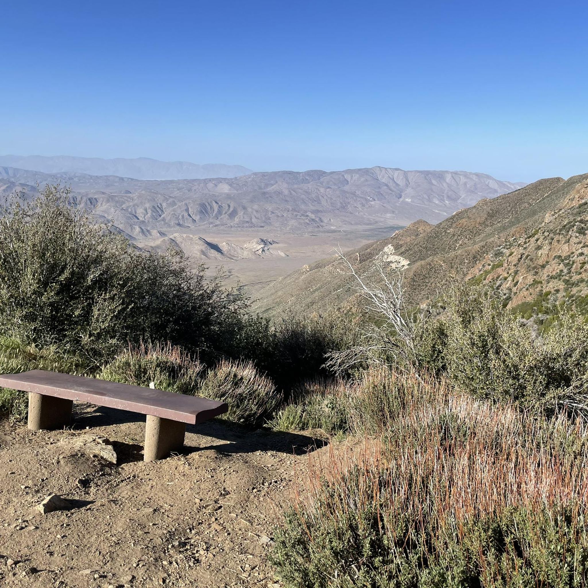
Hiking in Cleveland National Forest
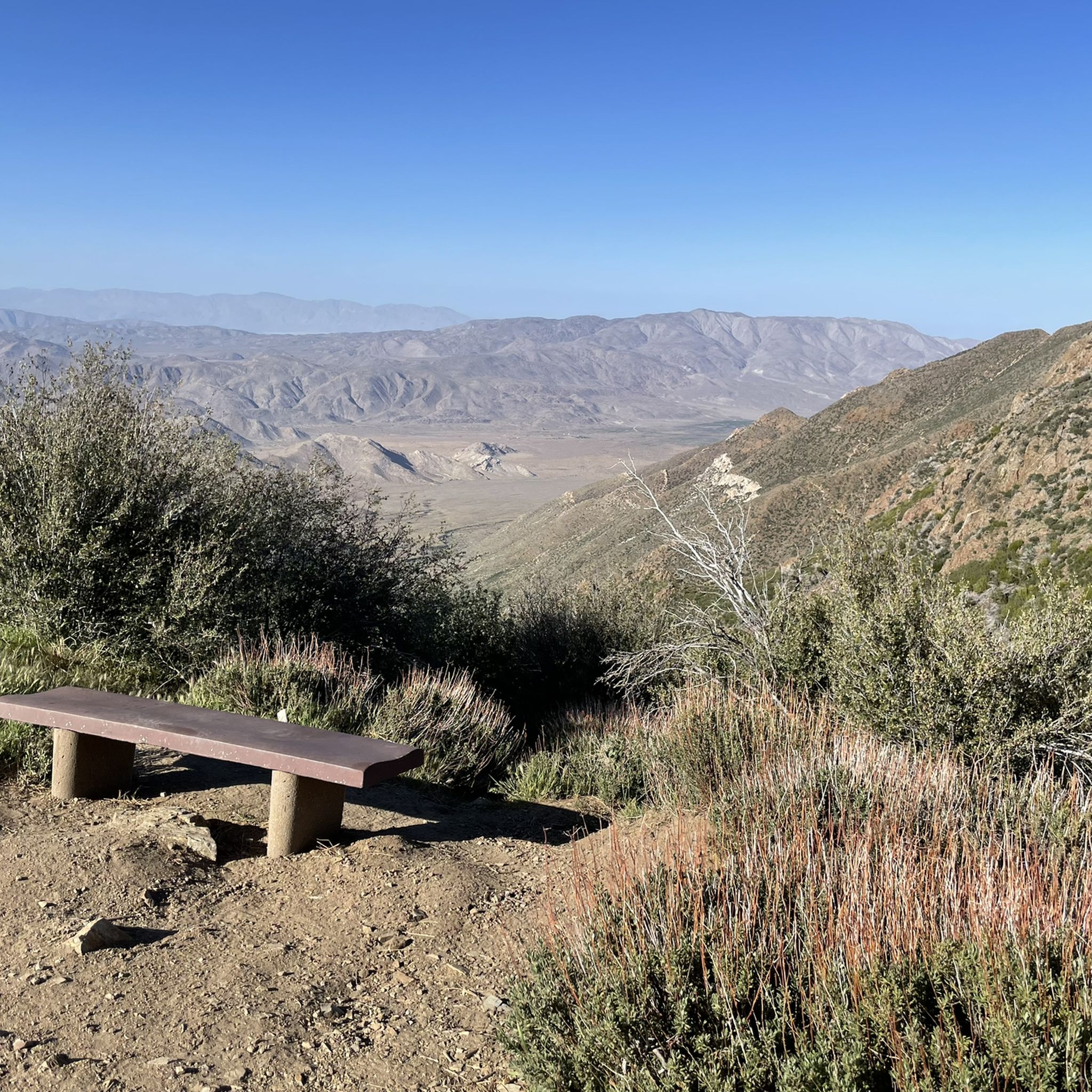
Hiking in the Laguna Mountains
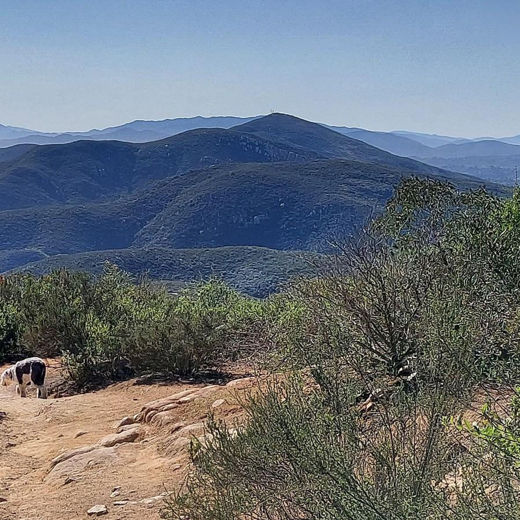
Hiking in Mission Trails Regional Park
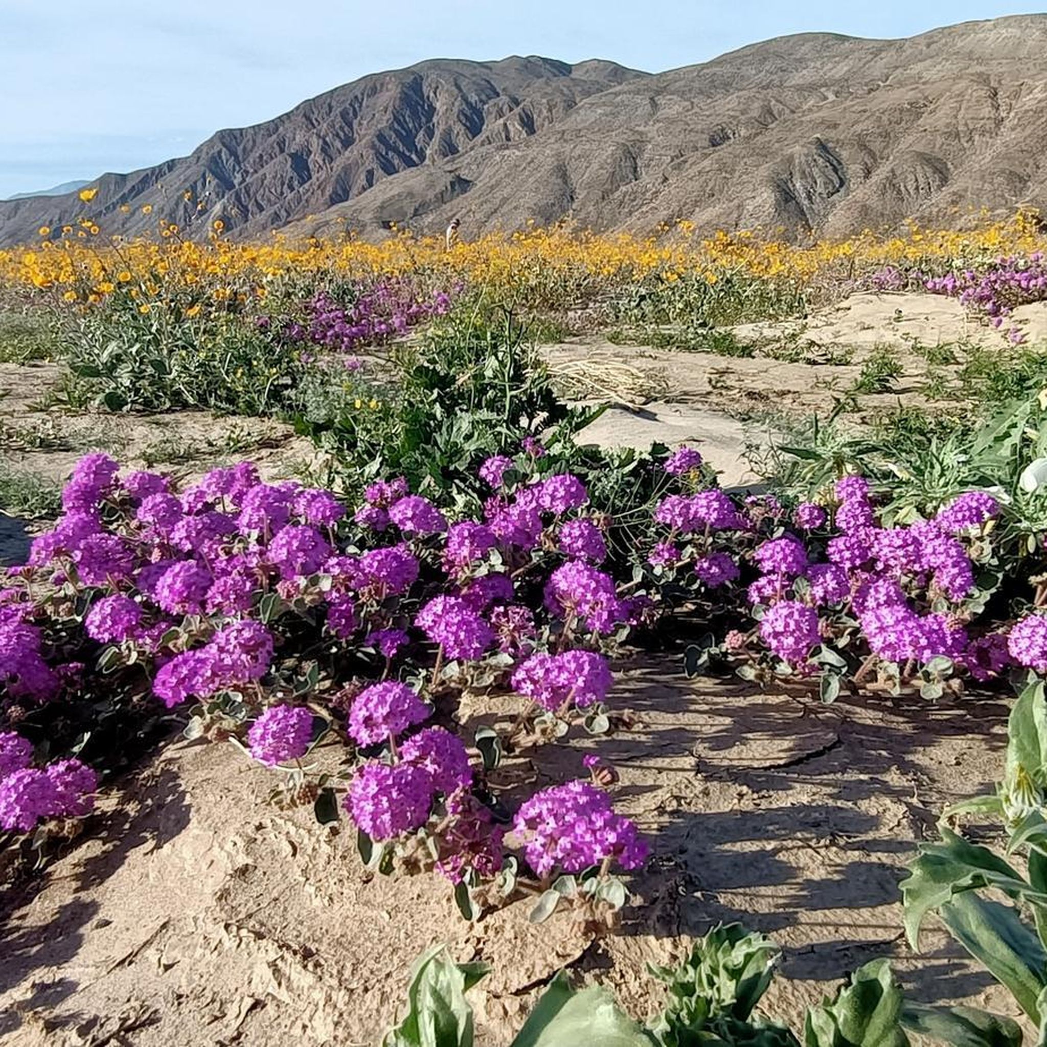
Hiking in Anza-Borrego Desert State Park

Hiking around Lake San Marcos

Hiking around San Marcos
Hiking in Anza-Borrego Desert State Wilderness

Hiking around Carlsbad
Hiking in Cuyamaca Rancho State Park
Other adventures in San Diego County


Tips from the Community


It's one of the high points to see everything from!
0
0
All the major viewpoints in the reserve are worth a look, and the mileage is not long.
0
0
The beach trail leads you right down to where you'd expect. One of the things people love to do is to 1) park at the beach parking lot right after the paid entry, and then walk the road all the way up to the top, then hike down the beach trail back to the beach where your final stroll along the beach leads you right back to your car. I highly recommend this. It's a unique thing to be able to do. But there's a catch... If the tides are high, or there is big surf, you won't be able to make it back to the beach parking lot from where the beach trail hits the beach. The tides and/or surf sometimes close down the section of beach along the bottom of the cliffs, meaning you'd have to hike all the way back up the beach trail and then walk the road down again (not as fun, unless you're looking for the extra work and miles). Pro tip: Check the surf and tides for when you'll be doing the hike. That way you'll have a better idea of where you should park (beach lot down at the bottom or trail parking lot up top), and know what kind of hike to expect.
1
0


Cowles Mountain, sitting at 1,593 feet, is the highest point within the City of San Diego. The summit gives you panoramic views of downtown San Diego, making it a popular destination for hikers seeking both a moderate challenge and scenic vistas.
1
0

Closed when I came, but great spot to sit and cool off.
0
0
you will sweat walking up this hill!
0
0
More Information
FAQs about hiking in San Diego County
- What are the best hiking trails in San Diego County?
Some of the top-rated trails include the Torrey Pines Natural Preserve from Torrey Pines State Beach — Del Mar, the Red Butte and Razor Point loop from North Torrey Pines Road — Torrey Pines State Park, and the Potato Chip Rock via Lake Poway Trail. - How many hiking routes are available in San Diego County?
There are 892 diverse hiking routes available in San Diego County on Komoot, offering a wide range of experiences for all hikers. - What are the difficulty levels of hikes in San Diego County?
San Diego County offers a wide range of difficulties, with 511 easy hikes, 335 moderate routes, and 46 challenging trails for experienced hikers. - Are there any family-friendly hikes in San Diego County?
Yes, many easy trails are great for families. For instance, the 'San Diego Zoo loop family tour — Balboa Park' is a pleasant 5.53 km easy hike suitable for all ages. - Which parks or natural areas are great for hiking in San Diego County?
Excellent hiking can be found in Mission Trails Regional Park, Cleveland National Forest, and Anza-Borrego Desert State Park. You can also explore specific Natural Monuments and Mountain Peaks for stunning scenery. - What is the longest hike in San Diego County?
The longest featured hike is 'Potato Chip Rock via Lake Poway Trail', covering 11.33 km and typically taking approximately 03:45 to complete. - What is the shortest hike available in San Diego County?
For a shorter outing, consider 'Cabrillo National Monument & Bayside Trail — San Diego', which is 4.80 km and usually takes around 01:24. - What is the most popular hike in San Diego County?
The most popular hike among Komoot users is 'Torrey Pines Natural Preserve from Torrey Pines State Beach — Del Mar', a moderate 8.37 km route typically completed in about 02:23. - Are there hikes with waterfalls in San Diego County?
Yes, you can find specific 'Waterfall hikes in San Diego County' listed in our guides for trails that feature beautiful cascades. - Can I find routes with scenic views or mountain peaks?
Absolutely! San Diego County offers stunning scenery, and you can find dedicated guides for 'Mountain Peaks' and 'Natural Monuments' to discover trails with breathtaking views. - What is the best time of year for hiking in San Diego County?
Given San Diego County's diverse climate, most coastal and low-elevation trails are enjoyable year-round. Inland and mountain areas are best explored in spring or fall to avoid summer heat and potential winter snow. - Are there unique natural features to explore on hikes in the region?
Yes, beyond traditional trails, you can explore distinct natural features such as impressive 'Canyons' and picturesque 'Lakes' throughout San Diego County.
Frequently Asked Questions
Are there many easy, beginner-friendly hikes in San Diego County?
Yes, San Diego County has a wide selection of easier trails, with nearly 500 easy-rated routes to choose from. For a gentle walk with great views, the Cabrillo National Monument & Bayside Trail is a fantastic option, offering scenic vistas of the city and ocean.
What are some of the most challenging hikes in the area?
For those seeking a strenuous challenge, the county's inland mountains provide rugged terrain. Hikes like the one to Three Sisters Falls or the steep ascent up El Cajon Mountain are known for their difficulty. A tough but rewarding local favorite is the Rim Trail & North & South Fortuna loop, which involves significant elevation gain and offers panoramic views.
Can I bring my dog on hikes in San Diego County?
Many trails in San Diego County are dog-friendly, but rules vary by park. Dogs are generally welcome on leash in places like Mission Trails Regional Park and parts of Cleveland National Forest. However, they are not permitted on trails in state parks like Torrey Pines State Natural Reserve or Anza-Borrego Desert State Park. Always check the specific park's regulations before you go.
Are there any good hikes for families with children?
Absolutely. The region offers many kid-friendly options. A great choice is the San Diego Zoo loop family tour within the expansive Balboa Park, which features paved paths and beautiful gardens. Another fun adventure for families is the short but unique Annie's Canyon Trail, known for its narrow slot canyon.
Where can I find hikes with waterfalls?
San Diego County has several popular waterfall hikes, though the falls are best after winter and spring rains. Cedar Creek Falls and Three Sisters Falls are two of the most well-known. Be aware that these are strenuous hikes in remote areas and require a permit, which must be obtained in advance. The trails can be very hot and exposed, so go prepared with plenty of water.
What is the best time of year to hike in San Diego County?
You can hike year-round thanks to the mild climate. However, fall through spring (October to May) is generally the most pleasant time, with cooler temperatures. Summer can be very hot, especially on inland and desert trails, so if you hike then, it's best to start early in the morning and bring extra water. Coastal hikes are often pleasant even in summer due to the ocean breeze.
What should I pack for a hike in San Diego?
For any hike, you should bring plenty of water, especially for inland or desert trails where it can get very hot. Sun protection is crucial, so pack sunscreen, a hat, and sunglasses.
Wear sturdy hiking shoes as the terrain can be rocky and uneven. It's also wise to bring snacks and a fully charged phone. For more challenging routes, a small first-aid kit is recommended.
Are there any good desert hikes?
Yes, Anza-Borrego Desert State Park offers a unique hiking experience, especially in the cooler months. The Borrego Palm Canyon Nature Trail loop is a classic desert hike that leads to a surprising palm oasis. The landscape is dramatically different from the coast and mountains, featuring badlands, slot canyons, and vast open spaces.
What do other hikers think of the trails in San Diego County?
The trails are very highly rated by the komoot community, with an average score of 4.8 stars. Hikers frequently praise the incredible diversity, from the stunning ocean views on coastal trails to the panoramic vistas from the mountain peaks. The well-maintained paths in parks like Mission Trails are also a common highlight.
How many hiking trails are available in the region?
There is an extensive network of trails to explore, with over 880 different hiking routes in San Diego County. These range from short, easy walks to difficult all-day treks, covering coastal, mountain, and desert environments.
What's a good sunset hike?
Iron Mountain is a very popular choice for watching the sunset, offering expansive views from its summit. The Iron Mountain via Iron Mountain Peak Trail is a moderately challenging route that is especially rewarding in the golden hour. Remember to bring a headlamp or flashlight for the hike back down.
Is parking difficult at popular trailheads?
Parking can be challenging at the most popular trailheads, especially on weekends. For trails like Cowles Mountain and Torrey Pines, lots can fill up early. It's always a good idea to arrive early in the morning or consider visiting on a weekday to secure a spot more easily.
Most popular routes in San Diego County
Most popular attractions in San Diego County

Get inspired with the komoot mobile app


Didn’t find what you were looking for?
Check out more Hikes throughout San Diego County below and find the perfect route in your destination.
Explore more
Browse the best Hikes in other regions.
