The best walks and hikes around Norasundet
4.8
(109)
562
hikers
21
hikes
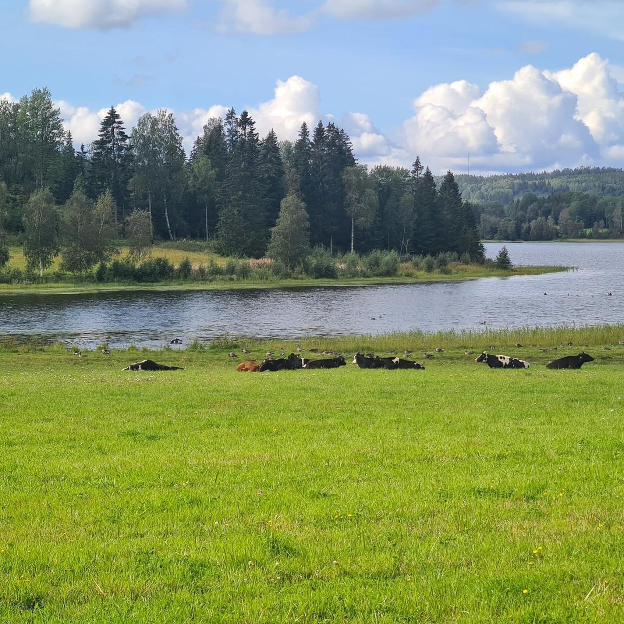
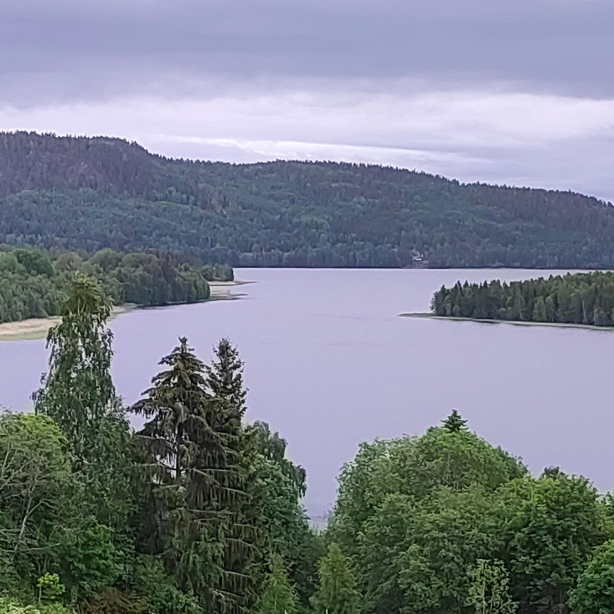
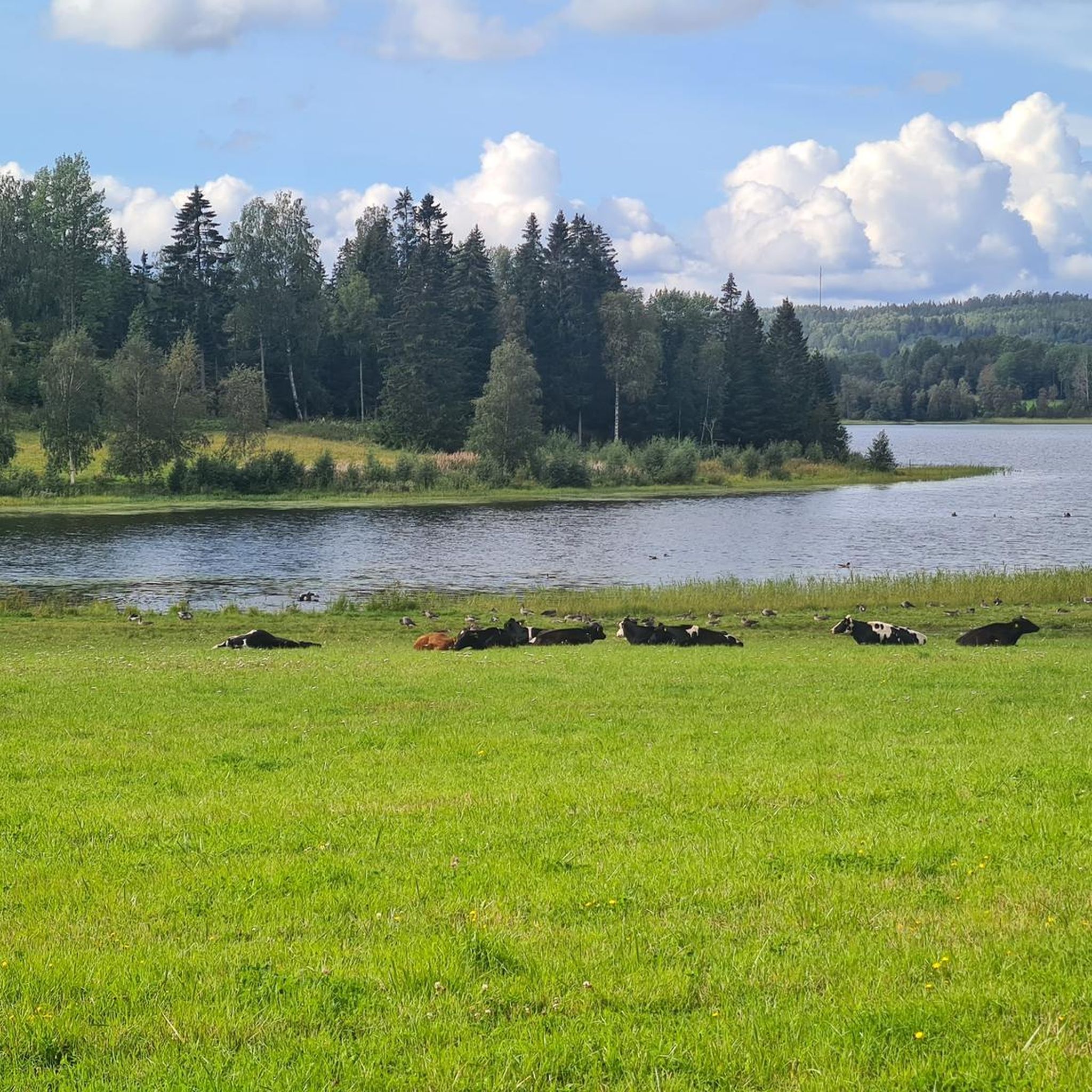
Hiking around Norasundet offers access to the High Coast, a UNESCO World Heritage Site in Ångermanland, Sweden. This region is shaped by glacial rebound, featuring a mountainous coastline with archipelagos, steep islands, and deep bays. Hikers will encounter diverse environments, including dark green forests, stony hills, and deep rift valleys. The landscape is characterized by red Nordingrå granite cliffs and numerous lakes and rivers, providing varied terrain for outdoor activities.
Best hiking trails around Norasundet
- The most popular hiking route…
Last updated: May 14, 2026
4.8
(9)
20
hikers
3.56km
01:02
90m
90m
Easy hike. Great for any fitness level. Easily-accessible paths. Suitable for all skill levels.
5.0
(1)
8
hikers
7.48km
02:04
130m
130m
Moderate hike. Good fitness required. Easily-accessible paths. Suitable for all skill levels.

Sign up for free
4.6
(15)
71
hikers
Moderate hike. Good fitness required. Mostly accessible paths. Sure-footedness required.
4.3
(3)
24
hikers
16.7km
04:46
380m
380m
Moderate hike. Good fitness required. Easily-accessible paths. Suitable for all skill levels.
5.0
(3)
13
hikers
5.73km
01:40
160m
160m
Easy hike. Great for any fitness level. Easily-accessible paths. Suitable for all skill levels.
Get access to more routes and recommendations from other explorers.
Sign up for free
Already have an account?
Our route recommendations are based on thousands of hikes, rides, and runs completed by other people on komoot.
Start today with a free account
Your next adventure awaits.
Login or Signup
Popular around Norasundet
Tips from the Community

Fantastic view from the summit. Barbecue area and overnight accommodation. Cooking area in the hut. Restrooms, and a wood storage facility next door.
0
0

The owners of house 103 in Lidebro provide drinkwater for refilling bottles when at home.
0
0

Beautiful place to stay overnight - but the wind was coming from the open side, so it was hardly protected from the wind. But with a tarp it was comfortable
1
0
The route is technically very demanding and the section over rocks is quite long. However, it is very exciting and interesting
1
0

You should pay 100 KR/person Do not try to get up with you bicycle (like we did) it is a long way and you will have to carry it. Really beautiful
1
1

This place is marked on maps as "Fjärdbotten Gästhamn" or "Fjärdbotten Stuga". There are several stugas where you can stay overnight and a good camping area right by the jetty. There are toilets. The water from the spring (a little south in the forest, it is signposted) was clear and we filtered it and drank it. It tasted completely neutral.
0
0

There are 5 stuga's here. 2 with a bunk bed (double width), 2 smaller ones but still plently of room to sleep on the floor and another one with a huge table which can also be used to sleep on the floor. I did not and would not drink the water from the 'source' here, it smelled disgusting. The water from the lake is salty do we didn't use that either. 200 meters before arrival there was a very little stream with some clean & fresh water.
1
0
A bit of a difficult stretch during the hike but very beautiful.
1
0
Frequently Asked Questions
How many hiking trails are available around Norasundet?
There are over 20 hiking trails around Norasundet, offering a variety of experiences. These include 6 easy routes and 15 moderate routes, ensuring options for different skill levels.
What kind of terrain can I expect on hikes near Norasundet?
The terrain around Norasundet is highly varied due to the region's unique geological history as part of the High Coast, a UNESCO World Heritage Site. You can expect to encounter mountainous coastlines, stony hills, rocky paths, deep rift valleys, and diverse forests. Trails often feature dramatic elevation changes and offer panoramic views.
Are there any easy hiking trails suitable for beginners or families around Norasundet?
Yes, Norasundet offers several easy hiking trails perfect for beginners or families. For example, the Hiking loop from Herrskog is an easy 5.7 km route. Another accessible option is the Drinking Water Spring loop from Hörsångs Camping, which is 3.5 km long and rated easy.
Can I find challenging hikes in the Norasundet area?
While there are no routes explicitly rated 'difficult' in the immediate Norasundet area, many moderate trails offer significant challenges with varied terrain and elevation. The region's landscape, shaped by glacial rebound, means even moderate routes can involve rocky sections and steep climbs. For instance, the Valkallen Summit and Cabin – Valkallen Staircase loop from Fjärdbottens gästhamn is a 15.8 km moderate path that leads to the Valkallen summit, providing a good workout and rewarding views.
Are there any circular hiking routes near Norasundet?
Yes, several circular routes are available, allowing you to start and end at the same point. A popular choice is the Nipstugan Cabin – Nipstugan Cabin loop from Stor-Hårsangberget, an 14.1 km moderate trail. Another option is the Drinking Water Spring – Rödhällmalen Shelter loop from Nordingrå, a 7.5 km moderate loop through coastal and forested areas.
What natural landmarks or viewpoints can I discover while hiking around Norasundet?
Hiking around Norasundet offers access to spectacular natural landmarks and viewpoints within the High Coast. You can experience the dramatic coastal scenery, deep rift valleys, and ancient forests. A notable highlight is the Valkallen Summit, which provides breathtaking panoramic views over the Ångermanälven bridge and the surrounding landscape. The region is also home to Skuleskogen National Park, featuring dramatic crevices like Slåttdalsskrevan and impressive rock formations.
What is the best time of year to go hiking in Norasundet?
The best time for hiking in Norasundet and the High Coast region is generally from late spring to early autumn (May to September). During these months, the weather is milder, trails are typically clear of snow, and the diverse flora is in full bloom. Autumn offers stunning fall colors. While winter hiking is possible, it requires appropriate gear and awareness of shorter daylight hours and potentially icy conditions.
Are dogs allowed on the hiking trails around Norasundet?
Yes, dogs are generally welcome on hiking trails around Norasundet, thanks to Sweden's 'Allemansrätten' (Right of Public Access). However, it's crucial to keep dogs on a leash, especially during certain times of the year (March 1 to August 20) to protect wildlife, and always clean up after your pet. Specific rules may apply in nature reserves or national parks, so always check local signage.
Are there options for parking at the trailheads?
While specific parking details vary by trailhead, many popular hiking areas and trailheads in the High Coast region, including those accessible from Norasundet, offer designated parking facilities. It's advisable to check route descriptions or local information for precise parking locations before heading out.
What makes the High Coast region, where Norasundet is located, unique for hiking?
The High Coast, a UNESCO World Heritage Site, is unique for its dramatic landscape shaped by continuous land uplift since the last ice age. This creates a mountainous coastline with steep islands, deep bays, and fjords. Hikers will experience diverse environments, from fragrant dark green forests to rugged red Nordingrå granite cliffs, offering a constantly changing and visually stunning backdrop for their adventures.
What do other hikers say about their experiences in Norasundet?
The hiking experiences in Norasundet are highly rated by the komoot community, with an average score of 4.7 stars from over 100 reviews. Hikers often praise the varied terrain, the stunning coastal scenery, and the well-maintained paths that lead to breathtaking viewpoints. Many appreciate the blend of challenging sections and more leisurely strolls available.
Are there any national parks or protected areas nearby?
Yes, Norasundet is located near Skuleskogen National Park, a significant part of the High Coast UNESCO World Heritage Site. This national park is a premier hiking destination known for its untouched forests, dramatic crevices like Slåttdalsskrevan, and impressive rock formations. It offers designated camping spots and shelters for those looking for multi-day adventures.

Get inspired with the komoot mobile app


Explore more
Browse the best Hikes in other regions.
