The best road cycling routes in Summit County
4.8
(30)
2,848
riders
56
rides
Road cycling in Summit County, Colorado, is characterized by its extensive paved pathway system and challenging mountain passes within the Rocky Mountains. The region features high alpine environments, majestic mountain ranges like the Tenmile and Mosquito Ranges, and significant bodies of water such as Lake Dillon. This landscape offers diverse terrain, from gentle lakeside paths to routes with substantial elevation gains.
Best road cycling routes in Summit County
- The most popular road cycling route is Dillon Reservoir Recpath Loop, an easy 20.3 miles (32.7 km) trail that takes 1 hour 38 minutes to complete. This route offers views around Lake Dillon with a moderate elevation gain.
- Another top favourite among local road cyclists is Tenmile Recpath, a moderate 25.8 miles (41.6 km) path. This route connects Frisco and Copper Mountain, featuring notable elevation changes and mountain scenery.
- Local road cyclists also love the Upper Blue Recpath, a 15.1 miles (24.2 km) trail leading through picturesque mountain views, often completed in about 1 hour 7 minutes.
- Road cycling in Summit County is defined by extensive paved pathways, high alpine environments, and majestic mountain ranges. The network offers options for various ability levels, from easy recreational paths to challenging climbs over mountain passes.
- The routes in Summit County are highly rated by the komoot community with an average score of 4.5 stars from over 20 reviews. More than 2,700 road cyclists have used komoot to explore Summit County's varied terrain.
Last updated: September 27, 2026
4.5
(4)
415
riders
132km
07:41
2,010m
2,020m
This difficult 81.9-mile road cycling loop takes you through the Colorado Rockies, featuring high alpine passes and historic landmarks.
5.0
(6)
380
riders
32.7km
01:38
300m
300m
The Dillon Reservoir Recpath Loop offers a fantastic road cycling experience, circling the expansive Lake Dillon with constant views of the Tenmile and Gore Ranges. You'll pedal through diverse landscapes, from wetlands and forested sections alongside the Blue River to the panoramic vistas from Sapphire Point Overlook. The route is mostly paved, making it ideal for road bikes, but expect some rolling hills and a notable climb over Swan Mountain, adding a good challenge to the 20.3 miles (32.7 km) journey.
Planning your ride is straightforward, with plenty of free parking available along the path and access via the Summit Stage bus system. The full loop, with its 981 feet (299 metres) of elevation gain, typically takes around 1 hours and 38 minutes, making it a manageable yet rewarding outing. Keep in mind that while the official difficulty is easy, the high altitude (over 9,000 feet) and the Swan Mountain climb can make it feel more moderate, especially if you choose the steeper counter-clockwise direction.
This loop is a central part of Summit County's extensive paved recreational pathway system, connecting to other trails like the Snake River and Blue River Recpaths for longer adventures. It's renowned for its early season accessibility, often being one of the first trails to clear of snow in the spring. The continuous, dramatic views of Dillon Reservoir and the unique experience of riding across the Dillon Dam are major highlights, making this a must-do for road cyclists in Summit County, Colorado.

5.0
(3)
244
riders
41.6km
02:23
560m
560m
Embark on the Tenmile Recpath, a moderate road cycling route that stretches for 25.8 miles (41.6 km) through the scenic White River National Forest. You'll gain 1832 feet (558 metres) in elevation on this journey, which typically takes around 2 hours and 23 minutes to complete. As you ride, you'll enjoy impressive views of the towering Tenmile Range mountains and follow the winding Tenmile Creek, passing several ponds that create a serene natural backdrop. Even with some sections running alongside Interstate 70, the picturesque scenery, including glimpses of the Dillon Reservoir, helps you overlook the highway noise.
When planning your visit, be aware that the terrain varies; you'll find a gradual uphill climb towards Copper Mountain if you start in Frisco. Many cyclists opt to use shuttle services to Vail Pass, which allows for a predominantly downhill and easier ride back towards Frisco. You'll find convenient water fountains along the way, such as near the Frisco marina entrance, and public bathrooms are available at the base of Copper Mountain.
This route offers a varied and engaging ride for anyone looking to explore Summit County by bike. It's known for its unique blend of natural beauty, from the majestic Tenmile Range to the tranquil Tenmile Creek, and its accessibility. The path provides a great way to experience the region's landscape, making it a notable option for a day out on two wheels.
5.0
(1)
120
riders
24.2km
01:07
180m
180m
Cycle the Upper Blue Recpath, a 15-mile paved route in Summit County, offering moderate road cycling with mountain views.
29
riders
61.1km
03:07
720m
720m
The road cycling route up Ute Pass from Silverthorne, Colorado, is a fantastic way to immerse yourself in the Rocky Mountain landscape, offering a significant challenge with incredible payoffs. You'll begin by pedaling past ranches, then steadily climb through switchbacks on a paved surface, gaining 2355 feet (718 metres) of elevation over 37.9 miles (61.1 km). The views of the Gore Range and the surrounding Arapaho National Forest are truly spectacular, making the moderate 3-hour and 7-minute effort well worth it for any dedicated cyclist.
For those planning to tackle this climb, you can begin your ride from Silverthorne Elementary School or a convenient pull-off at the Ute Pass Road intersection on Highway 9. The initial stretch on Highway 9 has a wide shoulder, offering a safe and pleasant start. Consider timing your ride for the late afternoon to experience the stunning sunset views, but always remember to pack a headlamp for the descent.
Ute Pass is often considered one of the best road bike rides near Silverthorne, Colorado, and a bit of a hidden gem among local cyclists. It's an integral part of County Road 3, winding through the scenic Williams Fork Range and providing a true taste of high-alpine cycling without venturing onto unpaved roads. This route is perfect if you're looking for a substantial road cycling elevation gain and panoramic vistas.
5.0
(1)
29
riders
52.3km
02:36
600m
600m
Road cycling the Upper Blue Recpath and Dillon Reservoir Loop offers a moderate 32.5-mile ride with great mountain and lake views.
27
riders
103km
07:15
1,680m
1,680m
This difficult 64.3-mile gravel cycling loop from Vail Pass Summit offers high-altitude views and challenging climbs to Fremont Pass.
8
riders
11.0km
00:36
210m
200m
Cycle the easy Breckenridge Overlook loop, a 6.8-mile route offering panoramic views of Breckenridge and the Tenmile Range.
8
riders
35.1km
02:30
650m
650m
Road cycling the Fremont Pass Recreational Pathway offers moderate difficulty with scenic views and significant climbing over 21.8 miles.
53.6km
03:02
720m
720m
Road cycle the moderate 33.3-mile Green Mountain Reservoir Loop, gaining 2361 feet with continuous water views.
Get access to more routes and recommendations from other explorers.
Already have an account?
Our route recommendations are based on thousands of hikes, rides, and runs completed by other people on komoot.
Start today with a free account
Your next adventure awaits.
Popular around Summit County
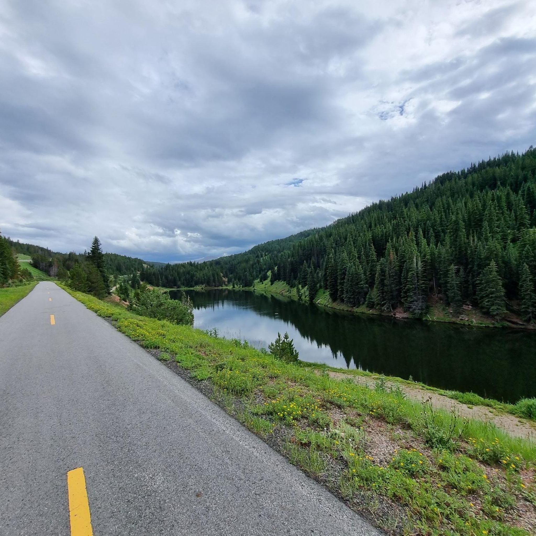
Road Cycling Routes around Copper Mountain
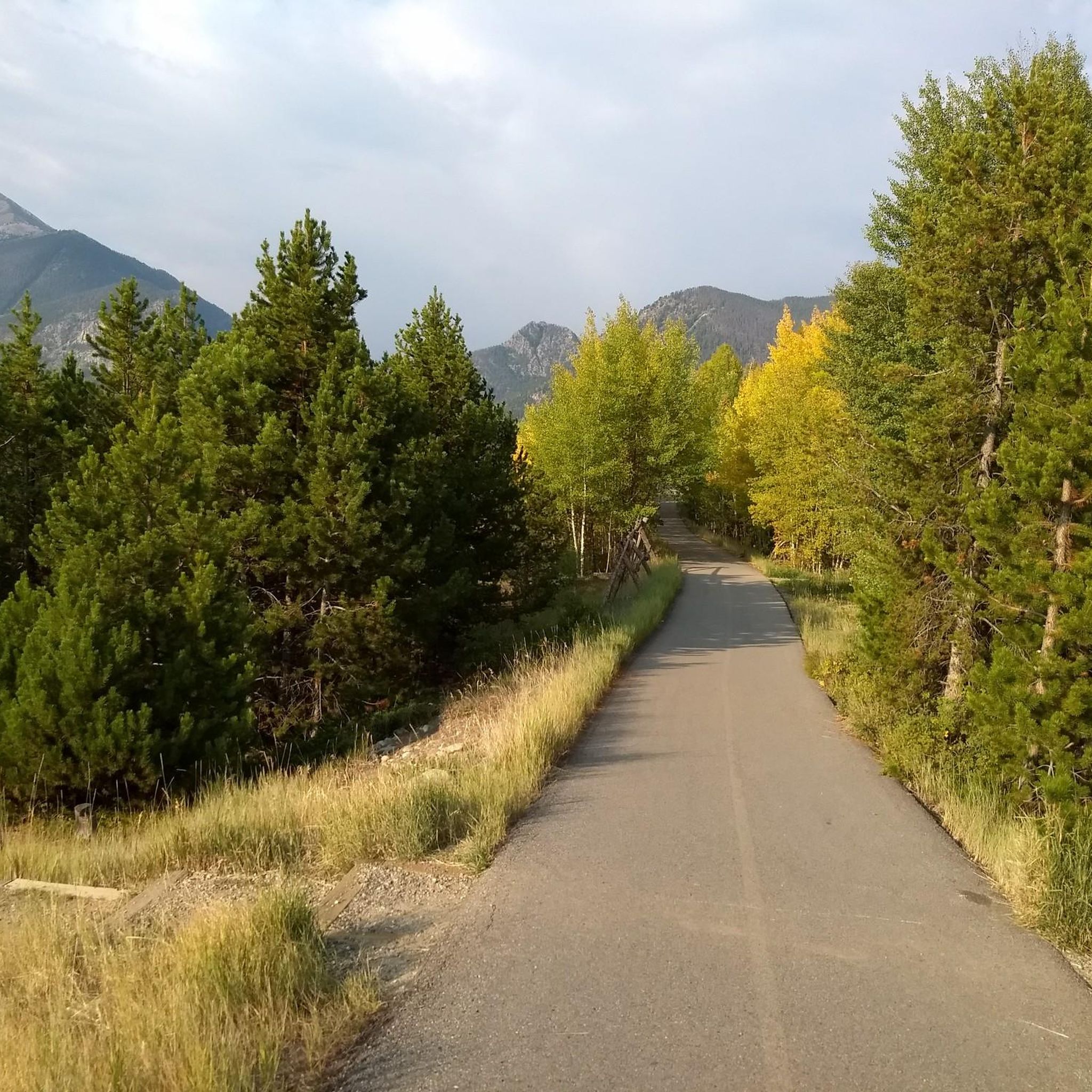
Road Cycling Routes around Dillon
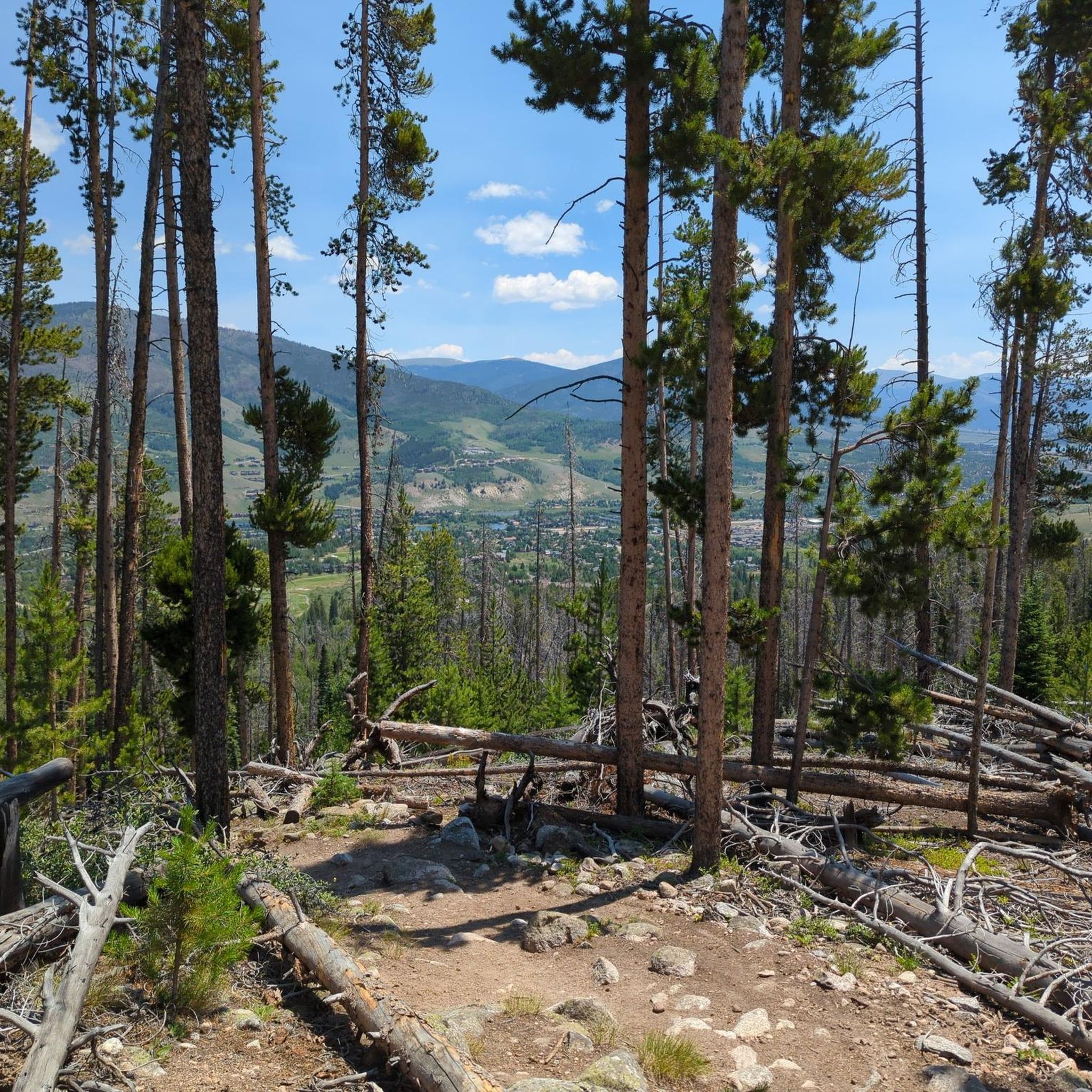
Road Cycling Routes in Ptarmigan Peak Wilderness
Road Cycling Routes around Silverthorne
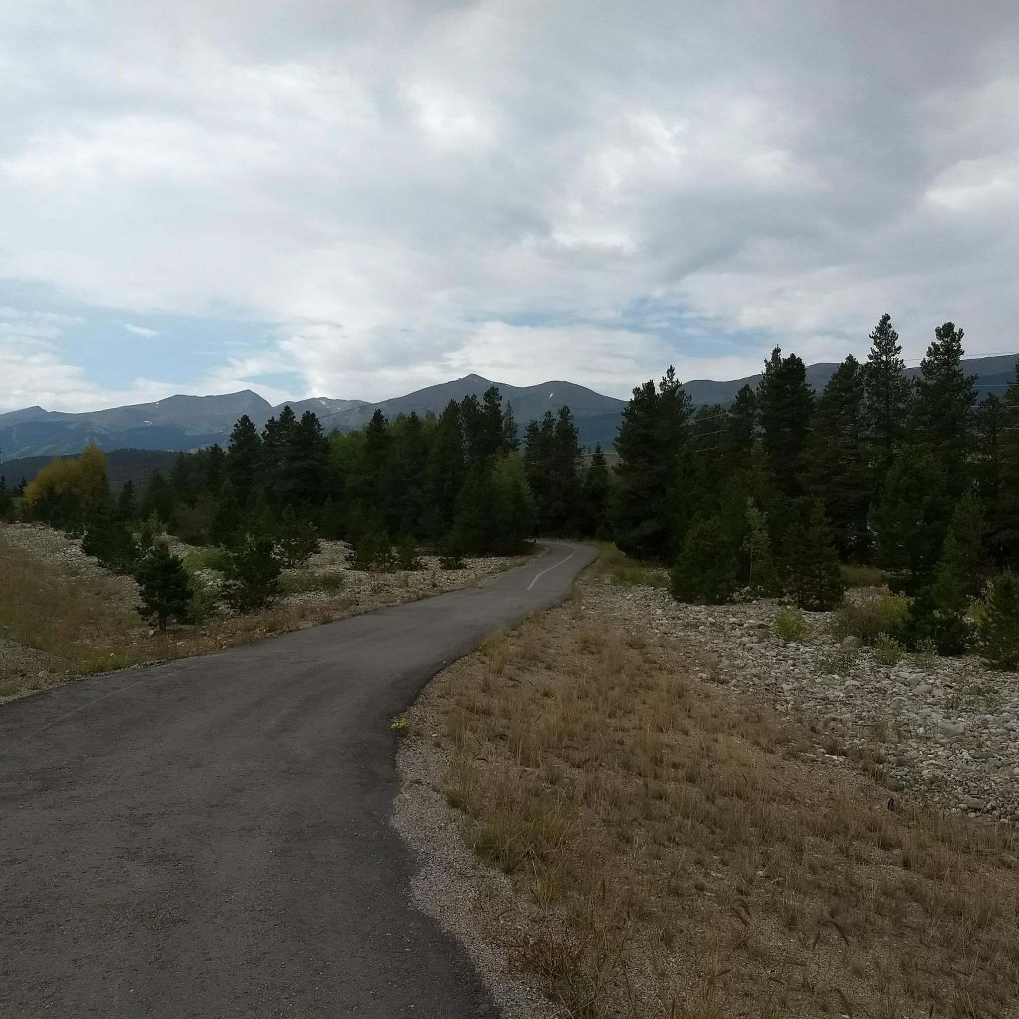
Road Cycling Routes around Breckenridge
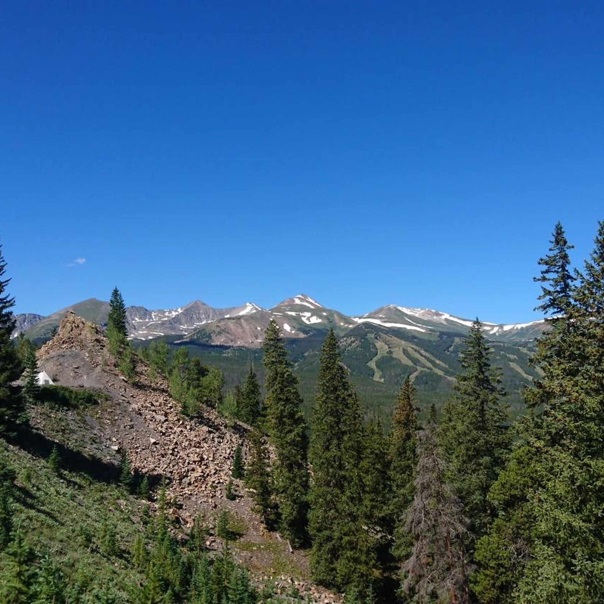
Road Cycling Routes around Blue River
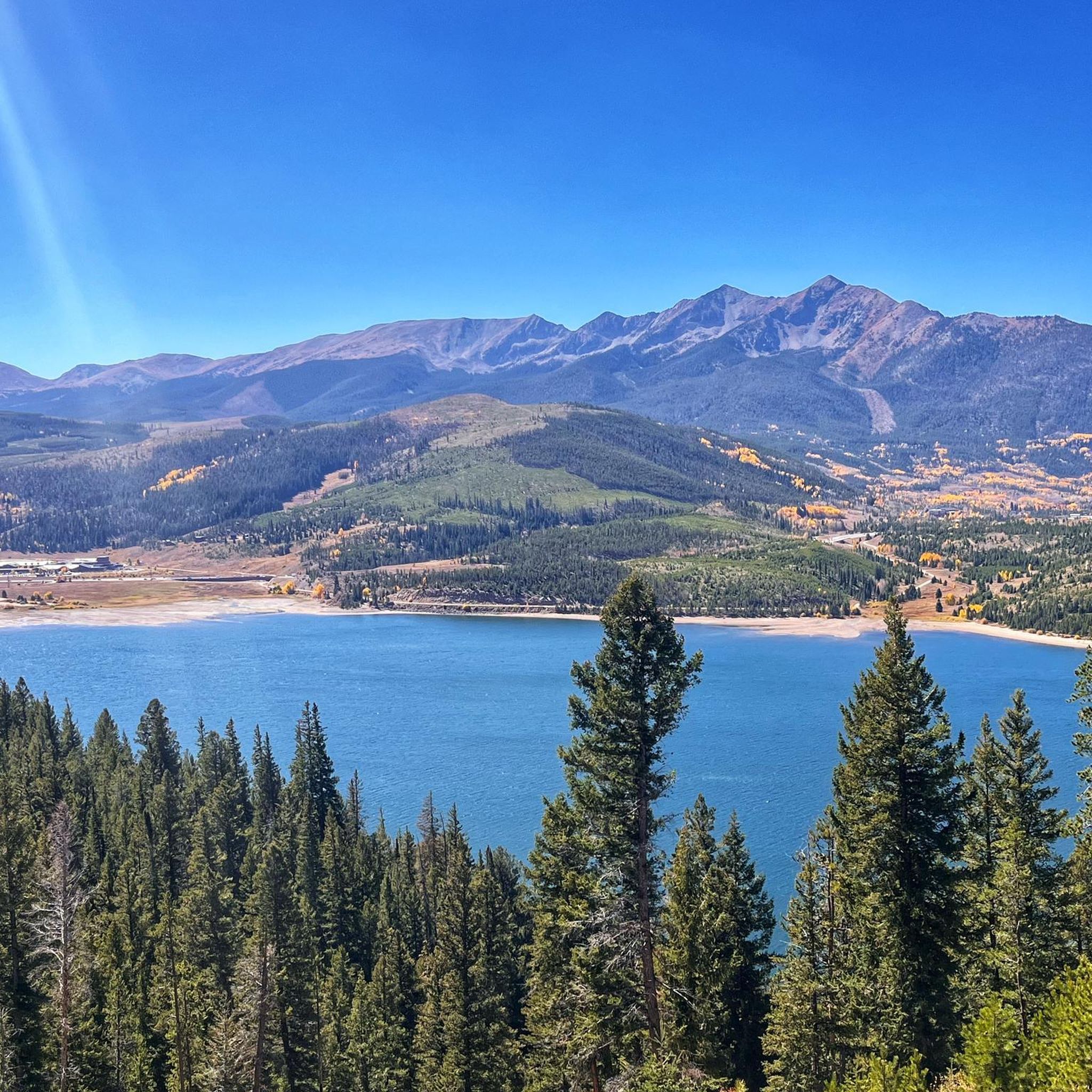
Road Cycling Routes around Keystone
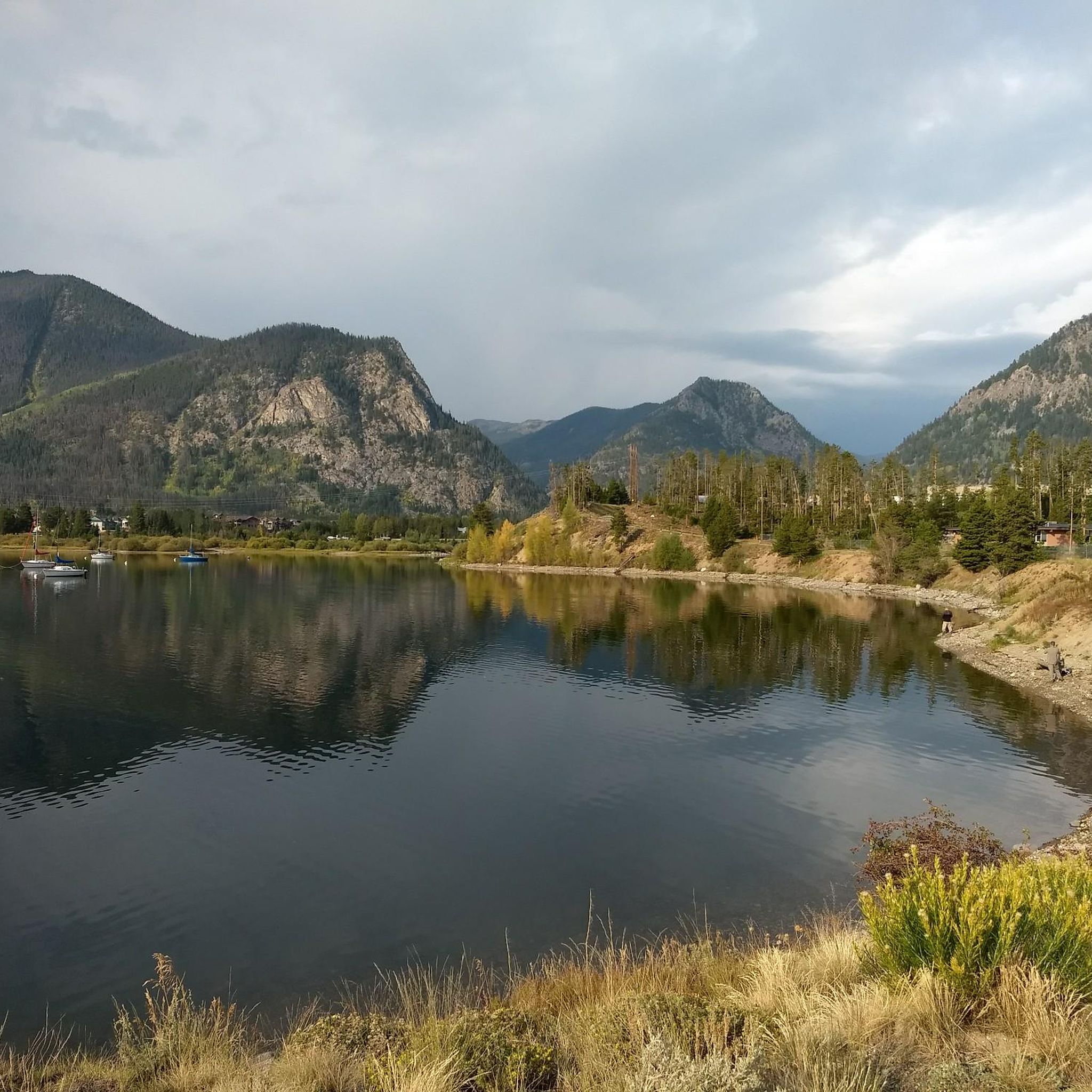
Road Cycling Routes around Frisco
Road Cycling Routes around Montezuma

The Colorado Trail — Ten incredible days in the Rocky Mountains
Other adventures in Summit County


Tips from the Community

This local history museum is the home of Barney Ford, preserved largely as it was in 1882. Ford was an escaped slave, civil rights leader, and businessman. The docents at the museum are very friendly and can talk you through his story.
0
0

The Frisco Historic Park & Museum features a collection of preserved buildings and artifacts, including 11 original structures from the late 19th and early 20th centuries. These include the 1902 Schoolhouse Museum, a log chapel, a jail, a trapper's cabin, and several historic homes, as well as Native American items and mining-era relics. Admission to both the park and the museum is free.
1
0

The reservoir was created when construction of the Green Mountain Dam was completed in 1943. There a numerous campgrounds and access points dotted around the lake and the road around it makes for a great ride!
0
0
As unique as it is beautiful the Red Cliff Bridge is Colorado's only cantilevered steel arch bridge. Originally constructed in 1940, the bridge was heavily restored in 2004. It has been listed on the National Register of Historic Places since 1985
0
0
This is a scenic spot to look out over the reservoir. The dam itself was built in the early 1960s and required relocating the original town of Dillon, which is now sitting beneath the water. Today, the reservoir holds Denver’s largest water supply and sends it through a tunnel under the Continental Divide. Surrounded by mountain towns, Dillon Reservoir is a popular locale for boating, fishing, and summer concerts at the lakeside amphitheater.
0
0
From the Dillion Reservoir Recpath there are great views of the south end of the Dillion Reservoir. The edge of the water is only a few feet away, and with the occasional tree obstructing the view, it is overall a great way to see the reservoir.
0
0

Shrine Pass Road is a well-maintained, gravel jeep road that connects the summit of Vail Pass to Red Cliff, Colorado. From Vail Pass and back it is 23 miles with 3,000 feet of elevation gain round trip, with truly amazing views of Mount of the Holy Cross. This is great place to explore if you wish to add a little extra mileage (and some gravel grinding) to your Vail Pass ride that is away from some of the crowds. Although it is doable on a road bike, wider tires (30mm+) or a gravel bike will make the experience more comfortable and enjoyable.
0
0

There are actually a couple Black Lakes here just off the side of the paved bike path. A bit down the south side of the pass is the main parking area and facilities for Vail Pass.
0
0
Frequently Asked Questions
What kind of terrain can I expect on road cycling routes in Summit County?
Summit County offers a diverse range of road cycling terrain. You'll find extensive paved pathway systems, such as the Summit County Recreational Pathway System, which provides smoother rides. Additionally, many routes venture into high alpine environments and over challenging mountain passes, featuring significant elevation gains and descents. The landscape includes majestic mountain ranges like the Tenmile and Mosquito Ranges, and routes often follow lakeshores or river valleys.
Are there road cycling routes suitable for beginners or families in Summit County?
Yes, Summit County has several excellent options for beginners and families. The region's extensive paved pathway system includes many easy routes. For example, the Dillon Reservoir Recpath Loop is an easy 20.3-mile ride with moderate elevation, offering stunning lake and mountain views. The Breckenridge Overlook loop is another easy option, providing panoramic views over a shorter distance.
What are some challenging road cycling routes for experienced riders in Summit County?
Experienced riders seeking a challenge will find plenty in Summit County. Routes like the Copper Mountain, Leadville, Red Cliff, Minturn, & Vail loop are classified as difficult, covering over 80 miles with significant elevation gain. The region is also known for its iconic mountain passes such as Vail Pass, Loveland Pass, and Fremont Pass, which offer substantial climbs and breathtaking high-alpine views.
Are there many circular road cycling routes available in Summit County?
Yes, Summit County features a good selection of circular road cycling routes. The Dillon Reservoir Recpath Loop is a popular moderate option offering stunning views. For a longer, more challenging loop, consider the Copper Mountain, Leadville, Red Cliff, Minturn, & Vail loop, which takes you through multiple mountain towns and high-alpine scenery.
What scenic views and natural features can I expect to see while road cycling in Summit County?
Road cycling in Summit County offers spectacular scenery. You'll encounter majestic mountain ranges like the Tenmile and Mosquito Ranges, often providing dramatic backdrops. Many routes feature stunning views of Lake Dillon, with paths circling its shores. High alpine environments provide expansive, unobstructed vistas, and during autumn, areas like Aspen Alley on Boreas Pass are renowned for vibrant fall foliage.
Are there any specific attractions or landmarks along the road cycling routes?
Yes, several routes pass by or offer views of notable attractions. You can cycle around Dillon Dam and Reservoir, a central feature of the region. The Copper Mountain, Leadville, Red Cliff, Minturn, & Vail loop passes through historic mining towns like Leadville. You'll also get views of prominent peaks such as Grays Peak and Copper Mountain from various points along the paths.
When is the best time of year for road cycling in Summit County?
The best time for road cycling in Summit County is typically from late spring through early fall (roughly May to October). During these months, mountain passes are generally clear of snow, and the weather is more favorable. Summer offers warm temperatures and lush scenery, while early fall brings stunning aspen foliage, particularly in areas like Boreas Pass.
Are there options for parking at road cycling trailheads in Summit County?
Yes, many road cycling routes in Summit County have designated trailheads or access points with parking facilities. The towns of Breckenridge, Frisco, Dillon, Silverthorne, and Copper Mountain serve as hubs for the recreational pathway system and typically offer parking options, making it convenient to start your ride.
What do other road cyclists enjoy the most about road cycling in Summit County?
The road cycling routes in Summit County are highly rated by the komoot community, with an average score of 4.5 stars from over 20 reviews. Cyclists often praise the extensive paved pathway system for its accessibility and variety, the breathtaking mountain and lake views, and the challenging climbs over iconic passes. The well-maintained paths and the ability to connect charming mountain towns are also frequently highlighted.
Are there any long-distance road cycling routes in Summit County?
For those looking for longer rides, Summit County offers several options. The Copper Mountain, Leadville, Red Cliff, Minturn, & Vail loop is a significant route, spanning over 80 miles. Additionally, the interconnected Summit County Recreational Pathway System allows for combining various segments, such as the Tenmile Recpath and extensions towards Fremont Pass, to create extended journeys.
Can I find cafes or other amenities along the road cycling routes in Summit County?
Yes, the road cycling network in Summit County is well-supported by amenities. The paved pathways connect several vibrant mountain towns, including Breckenridge, Frisco, Dillon, Silverthorne, Keystone, and Copper Mountain. These towns offer numerous cafes, restaurants, and shops where you can refuel, grab a coffee, or find supplies during your ride.
How many road cycling routes are available in Summit County?
Summit County offers a wide array of road cycling routes, with over 50 distinct tours available. These routes cater to various skill levels, including 19 easy, 23 moderate, and 8 difficult options, ensuring there's a ride for every type of road cyclist.
Most popular routes in Summit County
Most popular attractions in Summit County

Get inspired with the komoot mobile app


Didn’t find what you were looking for?
Check out more Road cycling routes throughout Summit County below and find the perfect route in your destination.
Explore more
Browse the best Road cycling routes in other regions.
