The best road cycling routes in Benton County
4.4
(39)
363
riders
39
rides
Road cycling in Benton County offers diverse landscapes, from the fertile Willamette Valley farmlands to the forested foothills of the Coast Range. The region features a network of paved roads and dedicated routes suitable for various skill levels. Cyclists can find routes through rolling agricultural areas and more challenging climbs into the mountains to the west. This varied terrain provides a range of experiences for road cyclists exploring the area.
Best road cycling routes in Benton County
- The most popular road cycling route is Avery Park loop from Corvallis, a 28.9 miles (46.6 km) trail that takes 2 hours 2 minutes to complete. This moderate route offers a balanced ride through varied scenery.
- Another top favourite among local road cyclists is Lewisburg Saddle – Peavy Arboretum loop from Oregon State University Historic District, a moderate 24.3 miles (39.1 km) path. This route features significant elevation gain through forested areas.
- Local road cyclists also love the Alsea Falls Recreation Area – Alsea Falls loop from Bald Hill Trailhead, a 59.9 miles (96.4 km) trail leading through the Coast Range, often completed in about 4 hours 33 minutes.
- Road cycling in Benton County is defined by Willamette Valley farmlands, forested Coast Range foothills, and challenging climbs to peaks like Marys Peak. The network offers options for different ability levels, from easy loops to difficult mountain ascents.
- The routes in Benton County are highly rated by the komoot community with an average score of 4.4 stars from over 20 reviews. More than 300 road cyclists have used komoot to explore Benton County's varied terrain.
Last updated: October 2, 2026
4.7
(6)
34
riders
48.5km
02:06
330m
330m
Moderate road ride. Good fitness required. Mostly well-paved surfaces and easy to ride.
4.7
(3)
27
riders
36.8km
01:55
490m
490m
Moderate road ride. Good fitness required. Mostly well-paved surfaces and easy to ride.

29
riders
96.4km
04:33
1,060m
1,060m
Hard road ride. Very good fitness required. Mostly well-paved surfaces and easy to ride.
5.0
(13)
26
riders
45.6km
01:48
70m
70m
Easy road ride. Great for any fitness level. Mostly well-paved surfaces and easy to ride.
25
riders
83.6km
04:55
1,650m
1,650m
Hard road ride. Very good fitness required. Some segments of this route may be unpaved and difficult to ride.
5.0
(2)
27
riders
36.5km
01:29
170m
170m
Easy road ride. Great for any fitness level. Mostly well-paved surfaces and easy to ride.
16
riders
80.5km
03:53
910m
910m
Hard road ride. Very good fitness required. Some segments of this route may be unpaved and difficult to ride.
19
riders
86.3km
04:37
1,520m
1,520m
Hard road ride. Very good fitness required. Some segments of this route may be unpaved and difficult to ride.
13
riders
Easy road ride. Great for any fitness level. Mostly well-paved surfaces and easy to ride.
8
riders
47.4km
02:18
470m
470m
Moderate road ride. Good fitness required. Mostly well-paved surfaces and easy to ride.
Get access to more routes and recommendations from other explorers.
Already have an account?
Our route recommendations are based on thousands of hikes, rides, and runs completed by other people on komoot.
Start today with a free account
Your next adventure awaits.
Popular around Benton County
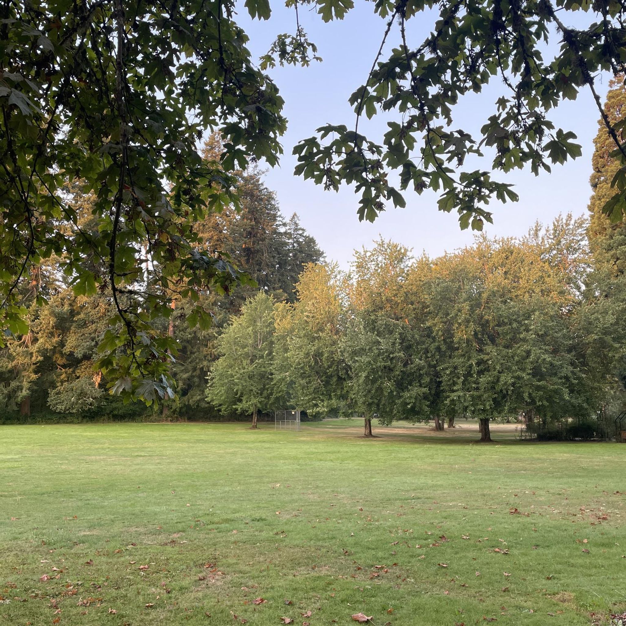
Road Cycling Routes around Corvallis

Road Cycling Routes around Philomath

Road Cycling Routes around Adair Village
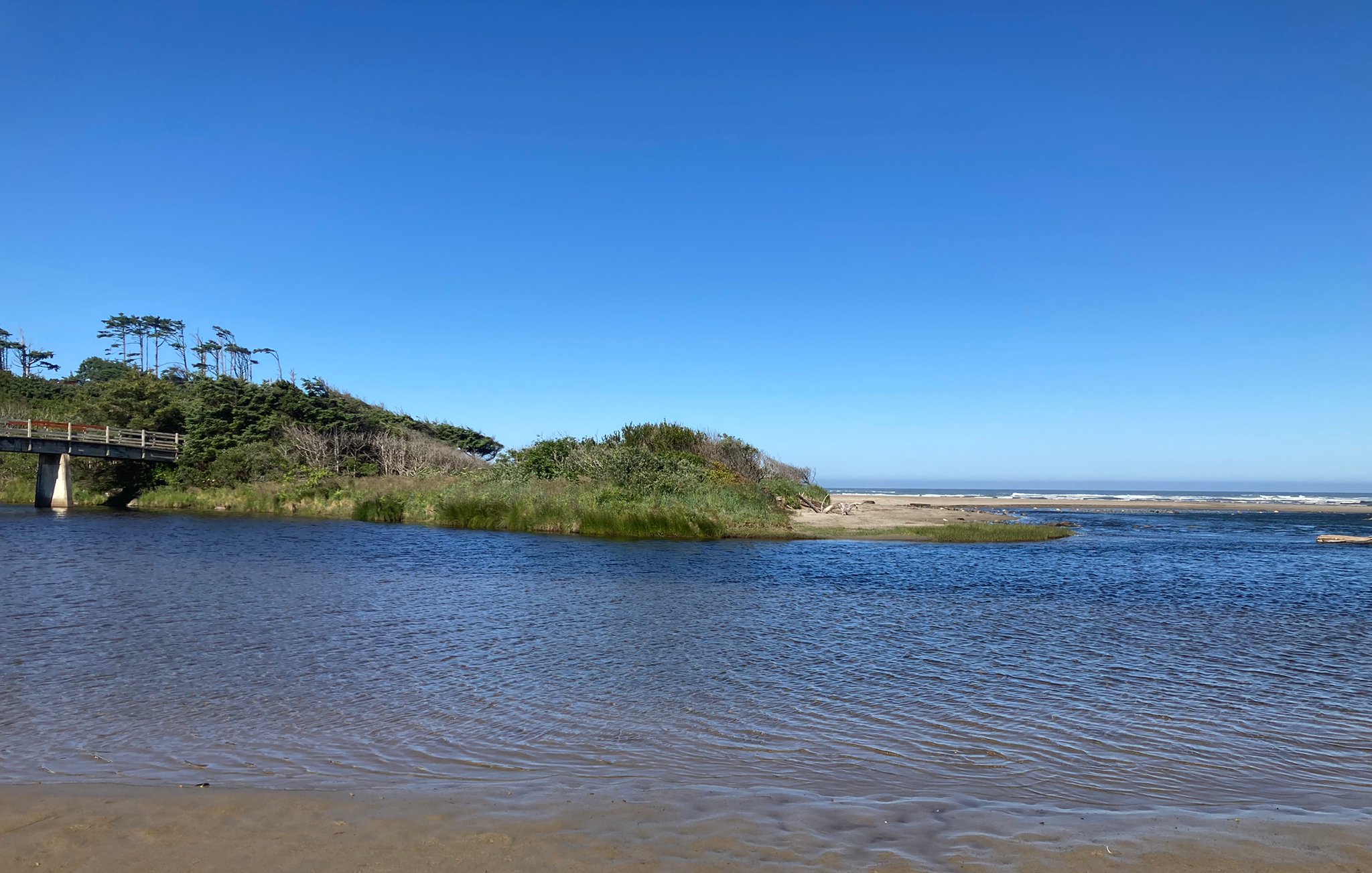
Corvallis-to-the-Sea Trail — Walk through wild Oregon
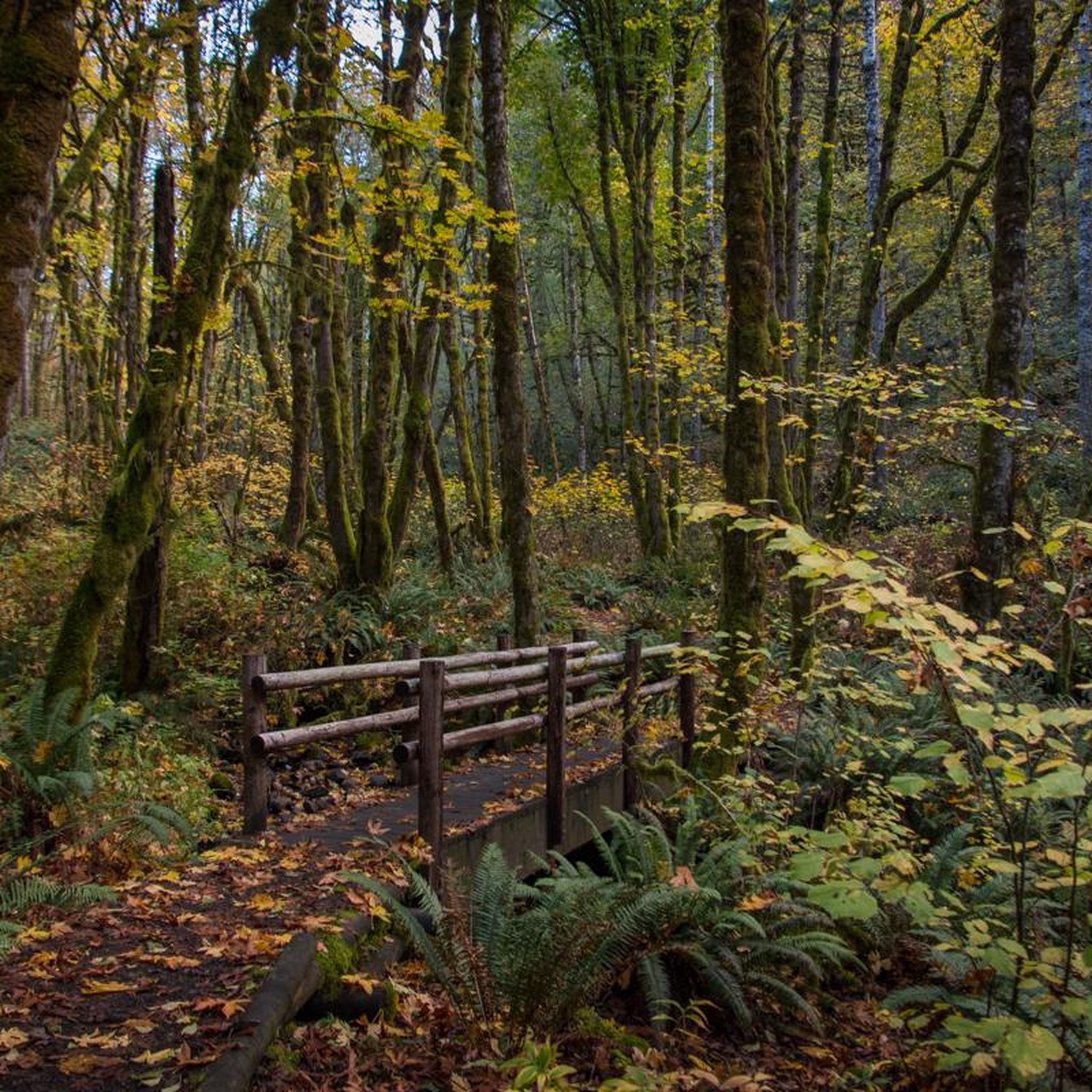
Hiking in Benton County
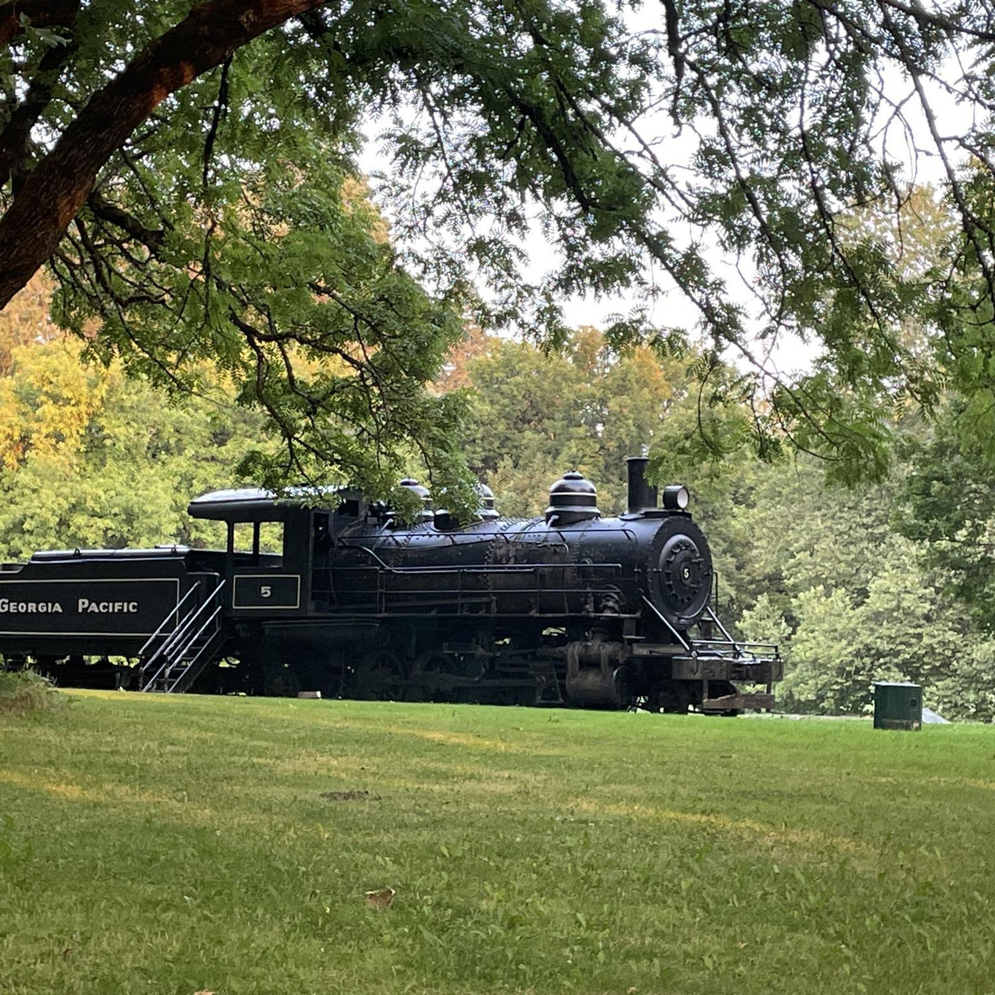
Running Trails in Benton County
MTB Trails in Benton County
Cycling in Benton County

Gravel biking in Benton County
Other adventures in Benton County

Tips from the Community


Peavy Arboretum is a small teaching forest managed by Oregon State University.
0
0

In Oregon's Coast Range lies the Alsea Falls Recreation Area, a paradise for hikers, bikers, and campers. Just an hour from Eugene or Corvallis, nature lovers find solace. Amidst the woods, diverse birds thrive, and a tranquil path reveals a captivating waterfall, a photographer's haven amid nature's splendor.
0
0
Sulphur Springs Road is the route to take up to Lewisburg Saddle, which is an intersection with parking and access to various trails. This road is open to bikes and cars.
0
0

The saddle has a parking lot with restrooms, and access to a handful of great easy riding trails through the woods.
0
0
The road is well paved and has decent shoulder for cyclists. You can access the Truax Island Greenway from here, which has space for two or three cars at the entrance.
1
0
The shaded, paved path takes you alongside the Willamette River to Monteith Park and circumvents some of the more industrial roads on the north side of Albany.
1
0
A long botanical pond with water features lines the west side of this pretty residential street.
0
0
Frequently Asked Questions
What types of road cycling routes can I find in Benton County?
Benton County offers a diverse range of road cycling experiences. You can find routes through the fertile Willamette Valley farmlands, particularly between Corvallis and Decker Road, or more challenging climbs into the forested foothills of the Coast Range, such as the 65-mile loop to Alsea Falls Recreational Site or the 52-mile ride to Marys Peak. There are options for various skill levels, from easy loops to difficult mountain ascents.
Are there any easy or beginner-friendly road cycling routes in Benton County?
Yes, Benton County has several easy road cycling routes perfect for beginners. An example is the Bike Path – Riverside Drive loop from Forest Dell Natural Area, which is an easy 29.7-mile ride. Another accessible option is the Avery Park – Philomath loop from Bald Hill Trailhead, covering 22.1 miles with moderate elevation.
Where can I find challenging road cycling routes in Benton County?
For advanced cyclists seeking a challenge, Benton County offers routes with significant elevation gain. Consider the Meadowedge Loop Trailhead – Marys Peak Climb loop from Bald Hill Natural Area, a difficult 46.9-mile route with over 4,600 feet of climbing. Another demanding option is the Marys Peak Climb loop from Skyline Valley, which is 50.2 miles long and features over 5,000 feet of ascent.
What are some scenic viewpoints or landmarks I can see while road cycling in Benton County?
Benton County is rich with scenic spots. You can cycle past Dimple Hill, which offers breathtaking views of the valley and distant peaks. The Marys Peak Summit provides panoramic views extending to the Pacific Ocean and the Cascades on clear days. You might also encounter Alsea Falls or the Green Peak Falls along certain routes.
Are there any loop road cycling routes in Benton County?
Yes, many road cycling routes in Benton County are designed as loops, offering varied scenery without retracing your path. Popular loop options include the Avery Park loop from Corvallis, the Lewisburg Saddle – Peavy Arboretum loop from Oregon State University Historic District, and the Peavy Arboretum loop from Good Samaritan Regional Medical Center.
What is the best time of year for road biking in Benton County?
Spring and early fall are generally ideal for road biking in Benton County. During these seasons, you can enjoy pleasant temperatures and witness wildflowers blooming, especially along routes like the Decker Ridge. While winter conditions can occur, many routes remain accessible, though checking local weather is always recommended.
Are there any family-friendly road cycling routes in Benton County?
For families, routes with lower elevation gain and quieter roads are recommended. The region offers many paved roads through rolling farmlands that are suitable for family rides. The planned North Benton County Community Pathways and the new bike and walkway along Highway 99 between Albany and Corvallis aim to create even safer and more connected routes for all ages.
Where can I find parking for road cycling routes in Benton County?
Many popular starting points for road cycling routes in Benton County offer parking. For instance, routes often begin near areas like Bald Hill Trailhead or within Corvallis, which typically have designated parking facilities. It's advisable to check specific route details for parking information before you go.
What is the Corvallis to the Sea Trail and can I cycle it?
The Corvallis to the Sea Trail is a significant 59-mile route that allows cyclists to traverse diverse Oregon landscapes, from Corvallis to the Pacific Ocean. It includes a mix of paved and unpaved sections, passing through city parks, rainforests, and small towns. It's a multi-day journey suitable for those looking for an extended adventure.
What do other road cyclists enjoy most about road cycling in Benton County?
The road cycling routes in Benton County are highly rated by the komoot community, with an average score of 4.4 stars. Reviewers often praise the diverse landscapes, from the peaceful farmlands to the challenging mountain climbs, and the network of quiet, low-traffic roads that provide an enjoyable cycling experience.
Are there any historical sites accessible by road bike in Benton County?
Yes, you can incorporate historical exploration into your road cycling. For example, Fort Hoskins Historical Park offers opportunities to learn about Kalapuya Native American history and is accessible by road. The region's legacy of cycling, dating back to the Benton Road Club in 1898, also adds a historical dimension to its routes.
How long are the road cycling routes in Benton County typically?
The length of road cycling routes in Benton County varies widely to suit different preferences and fitness levels. You can find day rides ranging from 15 to 40 miles through rolling farmlands, such as the Sulphur Springs Road Trailhead loop from Oregon State University Historic District at 12.9 miles. For longer adventures, routes like the Alsea Falls Recreation Area – Alsea Falls loop from Bald Hill Trailhead can be nearly 60 miles long.
Most popular routes in Benton County
Most popular attractions in Benton County

Get inspired with the komoot mobile app


Didn’t find what you were looking for?
Check out more Road cycling routes throughout Benton County below and find the perfect route in your destination.
Explore more
Browse the best Road cycling routes in other regions.
