The best cycling routes in the Chugoku Mountains
4.6
(497)
5,018
riders
51
rides
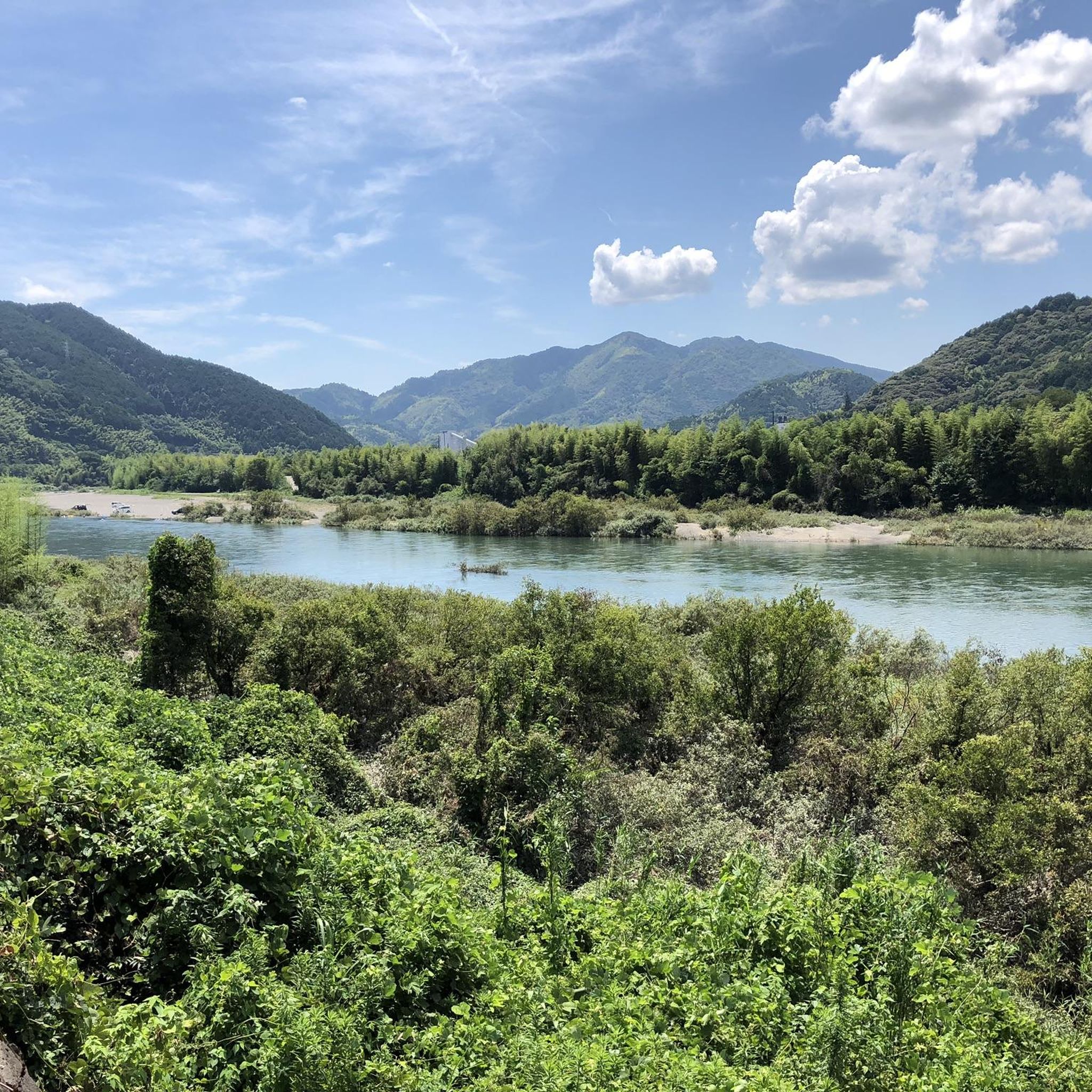
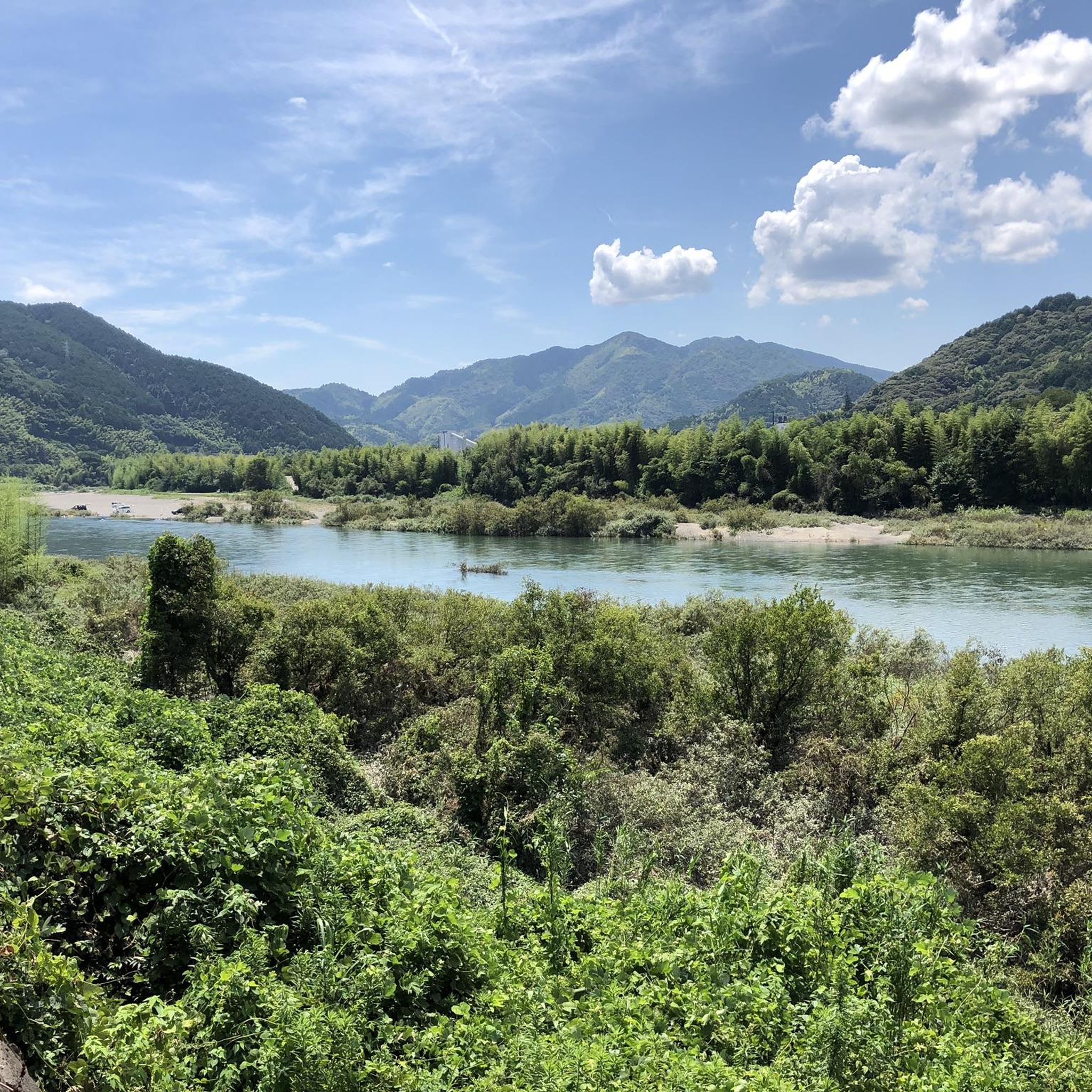
Touring cycling routes in the Chugoku Mountains traverse a diverse landscape featuring coastal and island scenery, mountainous terrain, and peaceful rural areas. The region is characterized by its numerous islands connected by suspension bridges, offering expansive views of the Seto Inland Sea. Inland, cyclists encounter rugged mountains, gorges, and serene lakes, often on mostly paved surfaces. These routes provide varied elevation profiles, catering to different fitness levels.
Best touring cycling routes in the Chugoku Mountains
- The most popular touring cycling…
Last updated: July 10, 2026
4.8
(135)
1,157
riders
109km
06:44
980m
980m
Hard bike ride. Very good fitness required. Mostly paved surfaces. Suitable for all skill levels.
4.6
(35)
312
riders
83.8km
05:17
830m
830m
Hard bike ride. Very good fitness required. Mostly paved surfaces. Suitable for all skill levels.

Sign up for free
4.7
(7)
49
riders
66.6km
04:24
880m
880m
Hard bike ride. Very good fitness required. Mostly paved surfaces. Suitable for all skill levels.
5.0
(6)
58
riders
42.5km
02:36
300m
300m
Moderate bike ride. Good fitness required. Mostly paved surfaces. Suitable for all skill levels.
3.3
(3)
64
riders
31.1km
01:51
220m
220m
Moderate bike ride. Good fitness required. Mostly paved surfaces. Suitable for all skill levels.
5.0
(1)
36
riders
59.7km
03:50
640m
640m
Hard bike ride. Very good fitness required. Mostly paved surfaces. Suitable for all skill levels.
5.0
(3)
35
riders
43.8km
02:47
420m
420m
Moderate bike ride. Good fitness required. Mostly paved surfaces. Suitable for all skill levels.
5.0
(1)
30
riders
24.8km
01:42
260m
260m
Moderate bike ride. Good fitness required. Mostly paved surfaces. Suitable for all skill levels.
5.0
(3)
30
riders
122km
07:29
1,090m
1,090m
Hard bike ride. Very good fitness required. Mostly paved surfaces. Suitable for all skill levels.
22
riders
81.8km
05:17
1,080m
1,080m
Hard bike ride. Very good fitness required. Mostly paved surfaces. Suitable for all skill levels.
Get access to more routes and recommendations from other explorers.
Sign up for free
Already have an account?
Our route recommendations are based on thousands of hikes, rides, and runs completed by other people on komoot.
Start today with a free account
Your next adventure awaits.
Login or Signup
Popular around Chugoku Mountains
Tips from the Community

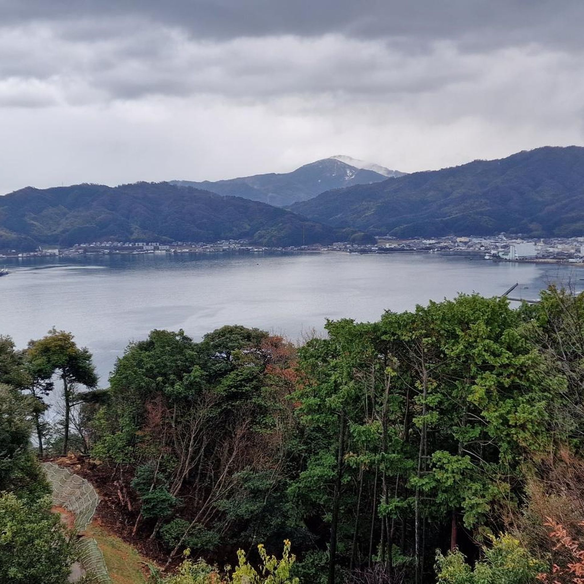
Coming from Hakata, you can turn right in Omishima (main route through the interior) or left (Island Explorer, along the north coast). I definitely recommend the longer but scenic coastal route. The blue line doesn't start until about 50 meters along. Don't be confused ;) Caution: There's a very steep 800-meter climb (10%) in the middle of the route. You might have to push your bike for a bit. But when you finally descend and the coast appears right in front of you, the effort will have been worth it!
0
0

Very impressive, exciting tour
0
0


Frequently Asked Questions
How many touring cycling routes are available in the Chugoku Mountains?
There are over 50 touring cycling routes in the Chugoku Mountains, offering diverse experiences from coastal rides to mountainous terrain. These routes cater to various skill levels, with options ranging from easy to difficult.
What kind of terrain can I expect when cycling in the Chugoku Mountains?
The Chugoku Mountains offer a mix of terrain. You'll find extensive coastal and island scenery, particularly along the Seto Inland Sea, with routes often crossing large suspension bridges. Inland, the landscape features rugged mountains, gorges like Taishaku Gorge, and peaceful rural areas, often on mostly paved surfaces. Elevation profiles vary, providing options for different fitness levels.
Are there options for less experienced touring cyclists?
Yes, the Chugoku Mountains offer routes suitable for less experienced touring cyclists. There are 5 easy routes and 22 moderate routes. For example, the Ōyamazumi Shrine – Torii Gate loop from 多々羅大橋 is a moderate 15.4 miles (24.8 km) trail that leads through coastal areas and past cultural landmarks.
What are the options for experienced touring cyclists looking for a challenge?
Experienced touring cyclists will find plenty of challenging options, with 28 difficult routes available. The longest route, Tatara Bridge – Ōmishima Bridge loop from 大乗, spans 121.8 miles (196.1 km) with over 1000 meters of elevation gain. Another demanding option is the Tatara Bridge – Kurushima-Kaikyō Bridge loop from Ikinajima Island, covering 68.0 miles (109.5 km) with significant elevation changes.
Are there any circular touring cycling routes in the Chugoku Mountains?
Many routes in the Chugoku Mountains are designed as loops, perfect for touring cyclists. Examples include the popular Tatara Bridge – Ōmishima Bridge loop from 因島大橋, a difficult 51.9 miles (83.6 km) path, and the moderate Tatara Bridge – View of Ikuchi Bridge loop from 多々羅大橋, which is 42.5 miles (68.4 km) long.
What natural features can I see along the cycling routes?
The region is rich in natural beauty. Cyclists can enjoy breathtaking views of the Seto Inland Sea, often referred to as the 'Aegean Sea of the Orient,' especially when crossing the six large suspension bridges of the Shimanami Kaido. Inland, you might encounter impressive limestone caves like Hakuundō (White Cloud Cave) near Taishaku Gorge, or scenic spots like Lake Shinryū. The View of the Seto Inland Sea from Mount Misen is a notable viewpoint.
Are there any historical or cultural sites to visit while cycling?
Yes, the Chugoku Mountains are dotted with historical and cultural attractions. You can visit sites like the Itsukushima Shrine, or explore towns like Tojo, known for its well-preserved merchant houses. Fukiya Furusato Village, with its distinctive red streets, offers a unique cultural stop. The Ōyamazumi Shrine – Torii Gate loop from 多々羅大橋 specifically passes by the Ōyamazumi Shrine.
When is the best time of year to go touring cycling in the Chugoku Mountains?
The Chugoku Mountains offer seasonal beauty, making spring (cherry blossoms) and autumn (fall foliage) particularly appealing for cycling. The climate is generally mild, but it's always advisable to check local weather conditions before your trip. Summer can be warm, especially in coastal areas, while winter might bring colder temperatures to the mountainous regions.
How accessible are the touring cycling routes by public transport?
While specific public transport details for each route vary, the region is generally well-connected. Some routes, like the Yamanami Kaido Tour Route, run parallel to train lines. Additionally, 'Roadside Stations' are conveniently located every 15 to 30 km along some routes, offering breaks and amenities, and often serve as access points.
Are there places to stop for food or rest along the routes?
Yes, the region is equipped with 'Roadside Stations' (Michi-no-Eki) that are strategically placed along many routes. These stations provide opportunities for rest, offer local specialty products, and often have cycle racks. You'll also find cafes and other eateries in the towns and villages you pass through, especially along the more popular coastal routes.
Can I find routes suitable for families with children?
Yes, there are family-friendly options, particularly among the 5 easy and 22 moderate routes. These routes often feature mostly paved surfaces and lower elevation gains, making them suitable for a more relaxed pace. While specific 'family-friendly' designations aren't always explicit, looking for shorter, less challenging loops like the Tatara Bridge – Ōmishima Bridge loop from Kone Island (30.9 miles / 49.8 km) can be a good starting point.
What do other touring cyclists say about the routes in the Chugoku Mountains?
The touring cycling routes in the Chugoku Mountains are highly rated by the komoot community, with an average score of 4.6 stars from over 160 reviews. More than 1900 touring cyclists have used komoot to explore the region's varied terrain, often praising the stunning coastal views, well-maintained paths, and the unique experience of cycling across the numerous bridges connecting the islands.
Most popular routes in the Chugoku Mountains
Most popular attractions in the Chugoku Mountains

Get inspired with the komoot mobile app


Explore more
Browse the best Cycling routes in other regions.
