The best road cycling routes in Chippewa County
5.0
(3)
33
riders
4
rides
Road cycling routes in Chippewa County traverse a landscape shaped by glacial history, featuring rolling hills and a mix of oak, aspen, and hardwood forests. The region is characterized by the winding Chippewa River and numerous lakes, offering varied topography for outdoor activities. Many routes follow former railroad corridors, providing relatively flat and smooth pathways.
Best road cycling routes in Chippewa County
- The most popular road cycling route is Across the lock gates loop from Greyhound station, a 14.4…
Last updated: May 20, 2026
5.0
(2)
17
riders
23.2km
01:07
110m
110m
Easy road ride. Great for any fitness level. Mostly well-paved surfaces and easy to ride.
5.0
(1)
7
riders
77.5km
03:24
690m
690m
Moderate road ride. Good fitness required. Mostly well-paved surfaces and easy to ride.

Sign up for free
4
riders
27.1km
01:07
140m
140m
Easy road ride. Great for any fitness level. Mostly well-paved surfaces and easy to ride.
5
riders
60.4km
02:37
480m
480m
Moderate road ride. Good fitness required. Mostly well-paved surfaces and easy to ride.
Our route recommendations are based on thousands of hikes, rides, and runs completed by other people on komoot.
Start today with a free account
Your next adventure awaits.
Login or Signup




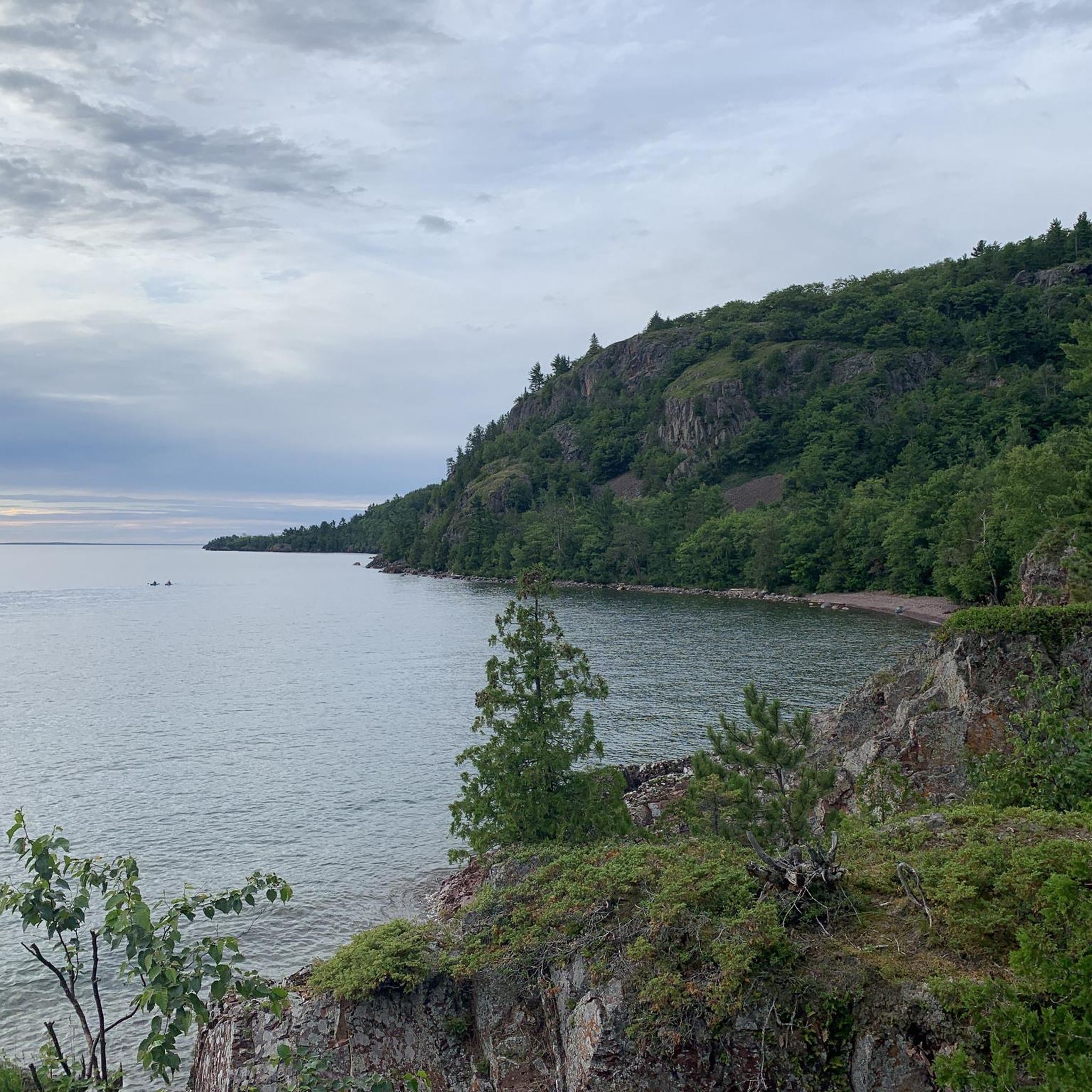
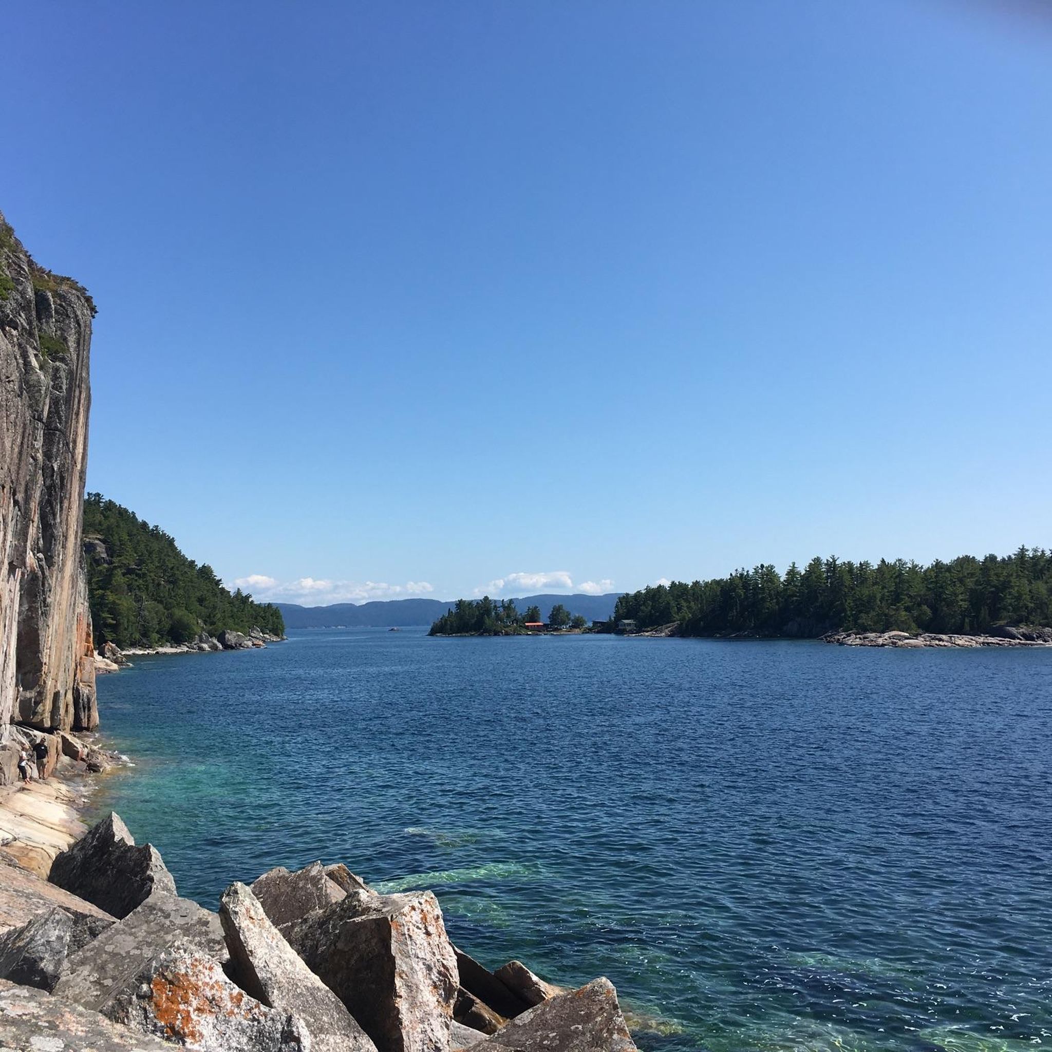
Other adventures in Chippewa County

Tips from the Community

Your way to South St. Mary's Island takes you through one of the lock gates. The Visitor Center is located right next to the lock, where you can find out more about the island and its walking trails.
1
0
Frequently Asked Questions
How many road cycling routes are available in Chippewa County?
Chippewa County offers a selection of road cycling routes, with komoot featuring 4 distinct routes. These routes cater to various skill levels, including both easy and moderate options.
What kind of terrain can I expect on road cycling routes in Chippewa County?
The terrain in Chippewa County is diverse, shaped by its glacial history. You'll encounter rolling hills, mixed oak, aspen, and hardwood forests, as well as wetlands and lakes. Many routes, like sections of the Old Abe State Trail, follow former railroad corridors, providing relatively flat and smooth pathways. The region is characterized by the winding Chippewa River and picturesque shores of Lake Wissota.
Are there easy road cycling routes suitable for beginners or families in Chippewa County?
Yes, Chippewa County has several easy road cycling options perfect for beginners or families. For instance, the Across the lock gates loop from Greyhound station is an easy 14.4-mile route. The Old Abe State Trail, though not a specific komoot route in this guide, is also celebrated for its smooth, paved pathways and scenic views, making it very family-friendly.
Where can I find challenging road cycling routes with significant elevation gain in Chippewa County?
For those seeking a more challenging ride, routes like the Root River – Goulais River loop from Greyhound station offer a moderate challenge over 48.1 miles with substantial elevation changes. Another moderate option is the Root River loop from Greyhound station, which covers 60.4 km with considerable climbing.
What are some scenic highlights or points of interest along the road cycling routes?
Road cycling routes in Chippewa County offer numerous scenic highlights. You can expect views of the winding Chippewa River, the picturesque shores of Lake Wissota, and diverse forests. The Old Abe State Trail, for example, follows the Chippewa River, offering glimpses of fields and ponds. The Phoenix Park Bridge in Chippewa Falls is a popular starting point and a notable landmark itself.
Are there any circular road cycling routes in Chippewa County?
Yes, many of the road cycling routes in Chippewa County are designed as loops, allowing you to start and end at the same point. Examples include the Across the lock gates loop from Greyhound station and the Roadbike loop from Korah Collegiate and Vocational School. The Duncan Creek Trail is also a five-mile paved loop in Chippewa Falls.
What is the best time of year for road cycling in Chippewa County?
The best time for road cycling in Chippewa County is generally during the spring, summer, and fall months. These seasons offer pleasant temperatures and vibrant natural scenery, from blooming spring flowers to colorful autumn foliage. Always check local weather conditions before heading out.
Is parking available at the trailheads for road cycling routes?
Yes, parking is generally available at various access points and trailheads throughout Chippewa County. For instance, trails often connect to parks like Lake Wissota State Park or Phoenix Park, which typically offer parking facilities. When planning your ride, it's advisable to check the specific starting point of your chosen route for detailed parking information.
Can I bring my dog on the road cycling trails in Chippewa County?
Many multi-use trails in Chippewa County, such as the Old Abe State Trail, generally welcome dogs on leashes. However, specific rules can vary by park or trail section. It's always best to check the regulations for the particular trail you plan to ride to ensure it's dog-friendly and to understand any specific leash or waste disposal requirements.
Are there amenities like cafes or places to stop for refreshments along the routes?
Yes, many road cycling routes in Chippewa County pass through or near charming towns, offering opportunities for refreshments. The Old Abe State Trail, for example, connects Lake Wissota State Park to Brunet Island State Park and passes through several towns where cyclists can stop for food and drinks. You'll find cafes and other amenities in Chippewa Falls and other communities along the trails.
What do other road cyclists enjoy the most about road cycling in Chippewa County?
The road cycling experience in Chippewa County is highly rated by the komoot community, with an average score of 5.0 stars. Cyclists often praise the region's varied topography, the smooth pathways of trails like the Old Abe State Trail, and the scenic views of rivers, lakes, and forests. The mix of easy and moderate routes also appeals to a wide range of abilities.
Are there any less crowded road cycling routes in Chippewa County?
While popular trails like the Old Abe State Trail can see more traffic, especially on weekends, Chippewa County offers a network of roads and trails. Exploring some of the less-traveled county roads or specific komoot routes that are not the most popular, such as the Root River loop from Greyhound station, might provide a quieter experience. Early mornings or weekdays are generally the best times to find less crowded paths.

Get inspired with the komoot mobile app


Didn’t find what you were looking for?
Check out more Road cycling routes throughout Chippewa County below and find the perfect route in your destination.
Explore more
Browse the best Road cycling routes in other regions.
