The best running trails in Santa Barbara County
4.6
(68)
5,448
runners
242
runs
Jogging in Santa Barbara County offers diverse landscapes, from the Pacific Ocean coastline to the Santa Ynez Mountains. The region is characterized by palm-lined beaches, scenic blufftop paths, and trails ascending into the dramatic mountain range. This unique geography provides a variety of terrains for runners, including flat, paved routes and more challenging hilly trails.
Best jogging routes in Santa Barbara County
- The most popular jogging route is Santa Barbara Beach Trail, a 6.7 miles (10.8 km) trail that takes 1 hour 7 minutes to complete. This route offers continuous ocean views, passing by Stearns Wharf and the Andrée Clark Bird Refuge.
- Another top favourite among local runners is Inspiration Point via Jesusita Trail, a difficult 6.9 miles (11.1 km) path. This trail provides significant elevation gain and panoramic views of the coastline, city, and Channel Islands.
- Local runners also love the Obern Trail, an 8.0 miles (12.9 km) trail leading through a natural setting, often completed in about 1 hour 20 minutes.
- Jogging in Santa Barbara County is defined by coastal paths, mountain trails, and urban parks. The extensive network of running routes offers options for various ability levels, from easy seaside runs to challenging mountain ascents.
- The routes in Santa Barbara County are highly rated by the komoot community with an average score of 4.6 stars from over 60 reviews. More than 5000 runners have used komoot to explore Santa Barbara County's varied terrain.
Last updated: September 27, 2026
4
runners
6.17km
00:38
0m
30m
The Maria Ygnacio Bike Path and Obern Trail offers a wonderfully tranquil jogging experience, guiding you along paved surfaces through a mix of natural riparian habitats and pleasant residential areas. You'll follow the Atascadero Creek, known for its small wildlife and birdwatching opportunities, before transitioning to the Maria Ygnacio Bike Path, which meanders through green spaces and alongside the Maria Ygnacio Creek. This 3.8-mile (6.2 km) route is almost entirely flat, with only 13 feet (4 metres) of elevation gain, making it a moderate and accessible option for a quick 37-minute run.
Planning your visit is straightforward, as these trails are popular and well-connected within the Santa Barbara and Goleta area. The route is ideal for casual users, families, and even those with strollers or wheelchairs, thanks to its mostly flat and paved terrain. A previously closed section of the Maria Ygnacio Bike Path near the U.S. 101 undercrossing has now reopened, ensuring a smooth and uninterrupted journey.
These trails are more than just a place to jog; they are crucial connectors in the region, linking Goleta Beach Park to areas like the Modoc Preserve and Patterson Open Space. The Maria Ygnacio Creek itself is an Environmentally Sensitive Habitat Area, home to steelhead trout, adding an ecological dimension to your run. It's a fantastic option for those seeking a quiet, traffic-free route that integrates community access with natural beauty.
4.0
(2)
382
runners
10.8km
01:07
40m
40m
If you're looking for a classic California coastal run, the Santa Barbara Beach Trail delivers continuous Pacific Ocean views and a relaxed atmosphere. This 6.7-mile (10.8 km) route is mostly flat and paved, offering a moderate jogging experience with just 136 feet (41 metres) of elevation gain. You'll pass iconic landmarks like Stearns Wharf and the Andrée Clark Bird Refuge, making it a visually engaging journey that takes about 1 hour and 6 minutes to complete.
Planning your visit is straightforward, as the trail is easily accessible and popular among locals and visitors alike. While the paved path is suitable for most, you can find softer sand sections on the adjacent beach at low tide. Be aware that the trail can get busy, especially on weekends, so consider an early morning or weekday run for a more serene experience. Parking is available, but it's a good idea to arrive early to secure a spot.
What makes this one of the best jogging trails in Santa Barbara is its blend of accessibility and natural beauty. The route offers excellent opportunities for wildlife viewing, from marine life in the ocean to diverse bird species at the refuge. The backdrop of the Santa Ynez Mountains against the palm-lined coast creates a quintessential Southern California experience, perfect for a refreshing workout or a leisurely jog.

4.8
(4)
278
runners
4.94km
00:30
10m
10m
This 3.1-mile (4.9 km) Chase Palm Park running loop offers a quintessential Santa Barbara experience, blending urban accessibility with stunning coastal beauty. You'll jog along flat, paved paths, enjoying continuous views of the Pacific Ocean and East Beach, framed by iconic tall palm trees and backed by the Santa Ynez Mountains. With only 20 feet (6 metres) of elevation gain, it's an easy 30-minute outing perfect for a refreshing run or walk.
Starting directly from Santa Barbara Station, this route is incredibly convenient for those arriving by public transport. The flat, paved terrain makes it suitable for all fitness levels, including strollers and wheelchairs. While generally pleasant, consider visiting during off-peak hours if you prefer a quieter experience, as the park can be a vibrant community hub, especially during weekend events.
Beyond the scenic oceanfront, the loop takes you through Chase Palm Park, where you'll discover tranquil fountains and a freshwater lagoon amidst well-tended landscapes. This route is a fantastic option for a beginner 5k running loop in Santa Barbara, offering a peaceful escape without venturing far from the city center, and it's a great way to experience the local atmosphere.
3.0
(1)
258
runners
14.1km
01:27
30m
30m
Embark on a moderate jogging experience along the Coast Bicycle Route, a scenic path that stretches for 8.8 miles (14.1 km). You will enjoy beautiful coastal vistas and the refreshing seaside atmosphere as you pass by iconic spots. The route offers expansive ocean views, especially near Shoreline Park, and takes you past the lively Santa Barbara Harbor. With a gentle elevation gain of just 96 feet (29 metres), you can expect to complete this route in about 1 hours and 27 minutes. It's a great way to experience the Santa Barbara coastline on foot.
Planning your visit to the Coast Bicycle Route is straightforward, as the trail is easily accessible. You can often find parking conveniently located near Shoreline Park or along the waterfront, making it simple to start your jogging adventure. This route is a great option for family-friendly jogging, offering a pleasant and manageable outing for all. For the most comfortable experience, consider visiting during the cooler parts of the day, especially in warmer months.
This route provides a unique opportunity to observe marine life, particularly as you pass by the historic Stearns Wharf. The path frequently runs alongside various beaches, enhancing the refreshing seaside experience. It stands out as a prime way to explore Santa Barbara's vibrant waterfront and natural beauty on a single, continuous journey.
5.0
(4)
218
runners
7.21km
00:45
20m
20m
Start your jogging adventure from Santa Barbara Station and head towards the coast. This moderate 4.5-mile (7.2 km) route offers a refreshing blend of urban start and scenic seaside paths. You'll experience the wide, inviting sands of Leadbetter Beach before a gentle ascent leads you to Shoreline Park. The entire journey involves a modest 59 feet (18 metres) of elevation gain, making it a pleasant run that most can complete in about 44 minutes. From Shoreline Park, you'll be treated to expansive views across the Santa Barbara Harbor, out to the Channel Islands, and towards the distant Santa Ynez Mountains. The atmosphere shifts from lively beach activity to serene parkland, providing a varied experience.
Accessing this jogging route is straightforward, whether you arrive by car or public transport. You can begin your run directly from Santa Barbara Station, which is a convenient option if you're using public transport. If driving, parking and restrooms are available at both Leadbetter Beach and Shoreline Park, offering flexibility for your starting point. Consider planning your visit for earlier mornings or later afternoons to enjoy optimal weather conditions and potentially fewer crowds along the popular beach sections. No special permits or fees are required to enjoy this coastal path.
This route stands out as a quintessential Santa Barbara experience, connecting key coastal landmarks. It offers a unique perspective on the city's waterfront, showcasing both its natural beauty and recreational opportunities. The transition from the active beach environment to the elevated tranquility of Shoreline Park provides a dynamic contrast. This trail is an excellent choice if you're looking to combine a good workout with iconic views of the Pacific Ocean and the surrounding landscape, making it a local favorite for a reason.
5.0
(1)
75
runners
10.8km
01:12
20m
20m
Lace up your shoes for the East Beach running loop from Waterfront, a moderate jogging route that offers a classic Southern California experience. You will enjoy diverse scenery as you cover 6.7 miles (10.8 km) with a gentle elevation gain of 73 feet (22 metres). Expect to jog along sandy beaches, past a lively marina, and through palm-lined boulevards, all while taking in views of the mountains and the ocean.
This multi-use trail is easily accessible, making it a popular choice for runners. You can find convenient parking near the waterfront, which serves as the starting point for your run. The route is also dog friendly, so feel free to bring your canine companion along for the journey. You can easily shorten or extend the route to fit your desired distance and time.
As you jog, keep an eye out for the Andrea Park Bird Refuge, a notable landmark along the way. The smooth, accessible surface makes this route a comfortable option for many, including those with strollers. This trail provides a great opportunity to immerse yourself in the coastal atmosphere of Santa Barbara.
4.5
(2)
41
runners
11.1km
01:31
390m
390m
Inspiration Point via Jesusita Trail offers a varied jogging experience through the Santa Barbara foothills. You will begin in lush, oak-filled canyon country, following San Roque Creek with intermittent shade from oaks and sycamores. As you ascend, the landscape shifts to chaparral, opening up panoramic ocean views and glimpses of the Channel Islands from Inspiration Point. This difficult route covers 6.9 miles (11.1 km) with a significant elevation gain of 1268 feet (387 metres), typically taking about 1 hour and 31 minutes to complete. You will also encounter handsome sandstone formations and see the 4,000-foot peaks of the Santa Ynez Range.
When planning your jogging trip, be aware that the Jesusita Trail is a popular destination, so you can expect to share it with other outdoor enthusiasts. Parking is available at several trailheads; San Roque Road is a common starting point if you plan to complete the full route. It is important to note that certain sections of the trail, especially those with adobe clay, can become slippery after rain, so choose your timing wisely. Always check weather conditions before heading out.
This route is a challenging yet rewarding way to experience the diverse ecosystems of the Los Padres National Forest. The journey transitions from shaded creek beds to open chaparral, providing a clear sense of the region's natural progression. The primary draw, Inspiration Point, offers expansive views that highlight the unique geography where mountains meet the Pacific Ocean. It is a classic Santa Barbara outing for those seeking a vigorous workout with scenic rewards.
39
runners
12.9km
01:20
30m
30m
The Obern Trail offers a moderate jogging experience, covering 8.0 miles (12.9 km) with a gentle elevation gain of 103 feet (31 metres). You can expect to complete this route in about 1 hour and 19 minutes, making it a great option for a steady run. As you jog, you'll pass through diverse scenery, from shaded sections alongside Atascadero Creek to expansive ocean vistas near the Ellwood Bluffs, enjoying a mix of paved and dirt surfaces underfoot.
Planning your visit to the Obern Trail is straightforward, as it is highly accessible for all. Parking is generally available at Goleta Beach Park, providing convenient access to the trailhead. This route is also known for being family-friendly and welcoming to dogs, so you can bring your loved ones along. Recent repaving on portions of the trail ensures a smooth and enjoyable experience for your run.
This popular route takes you through both Goleta Beach State and County Parks, and past the UC Santa Barbara campus, offering a unique blend of natural beauty and local landmarks. Keep an eye out for local wildlife as you make your way along the path. The trail's versatility makes it suitable for joggers of various fitness levels, providing a refreshing outdoor activity in the area.
3.0
(1)
32
runners
7.23km
00:49
50m
50m
Embark on the Carpinteria running loop, a moderate jogging route that takes you through diverse scenery. You will cover 4.5 miles (7.2 km) with a gentle elevation gain of 167 feet (51 metres), typically completed in about 48 minutes. As you jog, you'll experience a mix of paved paths, gravel, and natural surfaces, offering changing views of the Pacific Ocean and the distant Channel Islands. Keep an eye out for the Seal Sanctuary Viewpoint, where you might spot local wildlife.
Planning your visit is straightforward, with parking readily available near Carpinteria State Beach, making access convenient. This route is often a good choice if you prefer a less crowded experience compared to other popular waterfront jogging spots. Consider starting your run in the morning or late afternoon to enjoy cooler temperatures and potentially more vibrant coastal light.
This trail winds through the Carpinteria Bluffs Nature Preserve, showcasing a rich natural environment. Beyond the ocean vistas, you'll pass through marshlands and groves of eucalyptus trees, adding variety to your run. The unique natural tar seeps along the beach are another interesting feature that sets this coastal route apart.
27
runners
The North Campus Open Space, Ellwood Forest Park & Devereux Beach loop is a fantastic moderate 6.4-mile (10.3 km) jogging route that packs a punch with its diverse scenery. Expect a journey through restored wetlands, along coastal bluffs with ocean views, down to the wide Devereux Beach, and through the serene eucalyptus groves of Ellwood Forest Park. With only 147 feet (45 metres) of elevation gain, it's a relatively gentle workout that takes around 1 hour and 10 minutes, offering a mix of natural paths, gravel, and paved sections.
Planning your visit is straightforward, though it's worth noting that some sections, particularly the descent towards Devereux Beach, can be steeper and more rugged. After heavy rains, you might encounter erosion or standing water on informal trails within Ellwood Mesa, so check local conditions. The best time to experience a truly unique natural spectacle is from November to February, when Ellwood Forest Park hosts thousands of monarch butterflies.
This loop trail is a testament to successful ecological restoration, transforming a former golf course into a vibrant natural wetland within the North Campus Open Space. It seamlessly connects coastal environments, eucalyptus forests, and wetlands, providing excellent opportunities for observing local wildlife and numerous bird species, including the threatened snowy plover. The area also links to other protected spaces like Ellwood Mesa and Coal Oil Point Reserve, forming a continuous open space.
Get access to more routes and recommendations from other explorers.
Already have an account?
Our route recommendations are based on thousands of hikes, rides, and runs completed by other people on komoot.
Start today with a free account
Your next adventure awaits.
Popular around Santa Barbara County
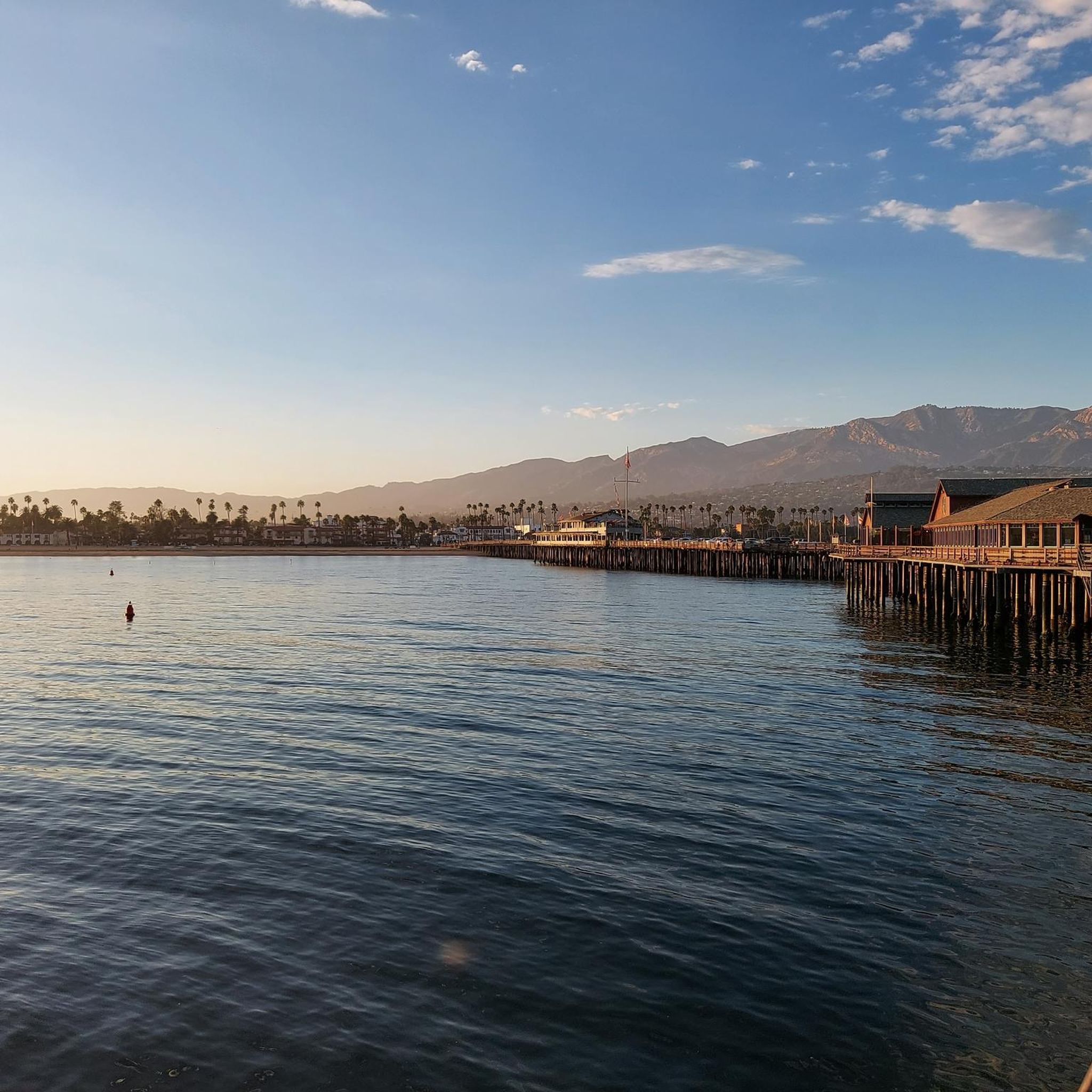
Running Trails around Santa Barbara
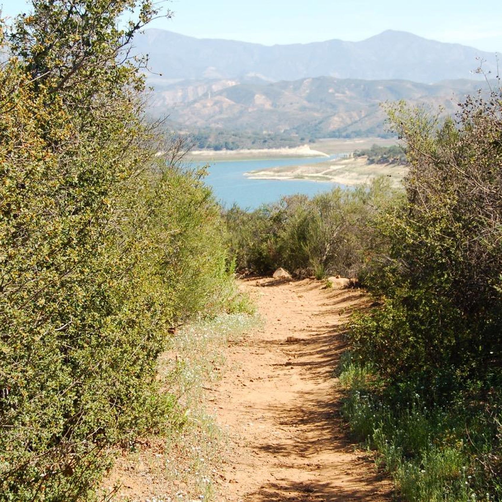
Running Trails in the Santa Ynez Mountains
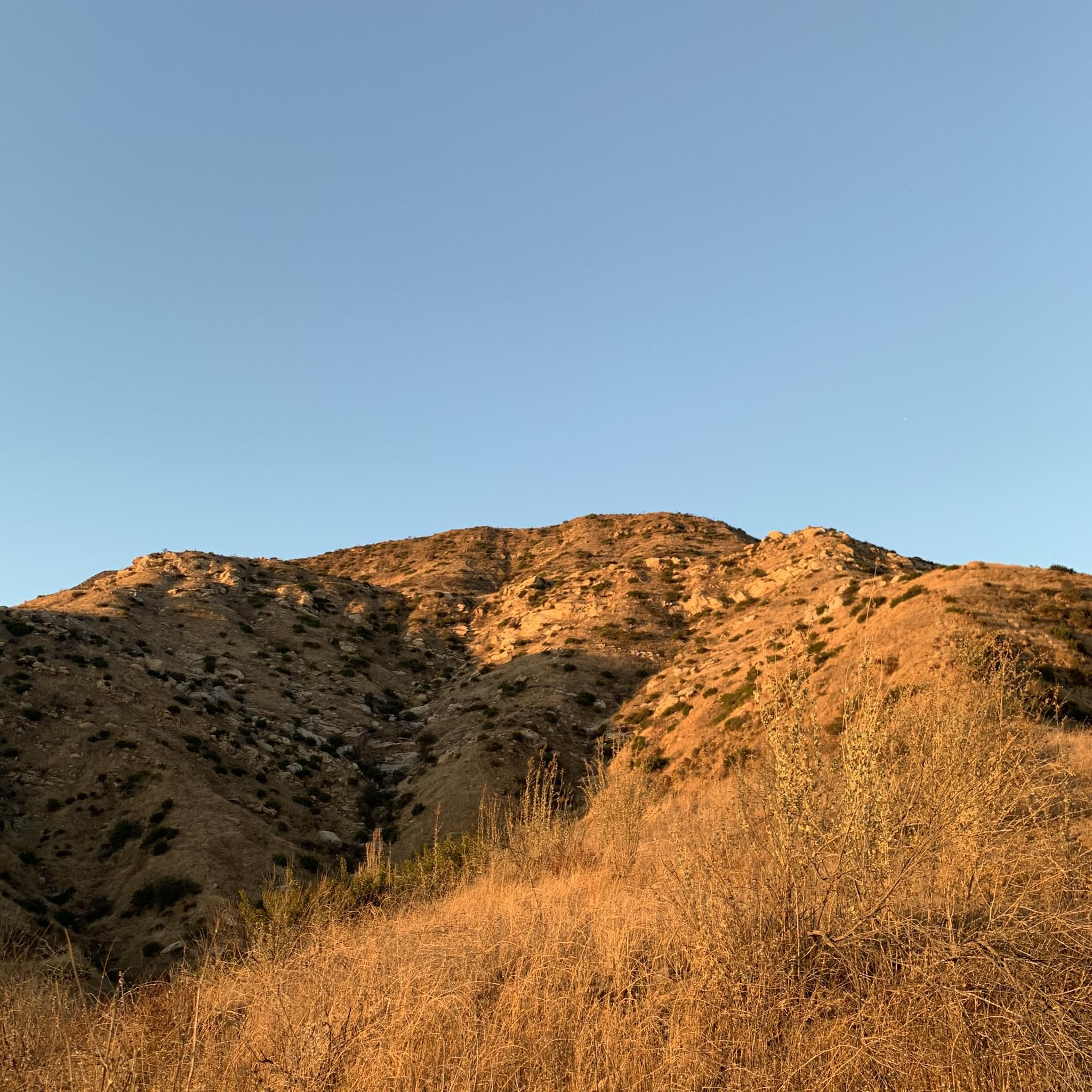
Running Trails in Los Padres National Forest
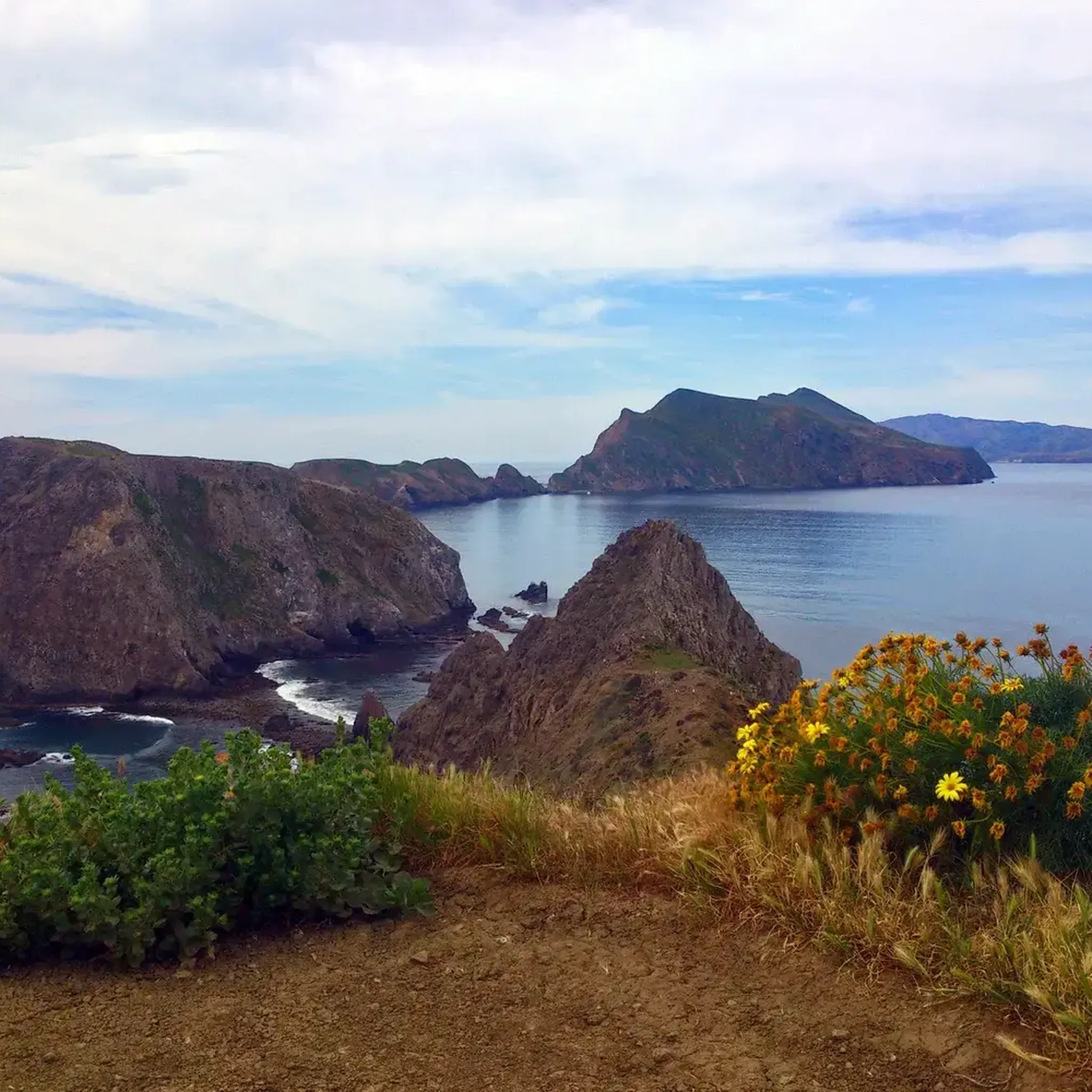
Running Trails in Channel Islands National Park
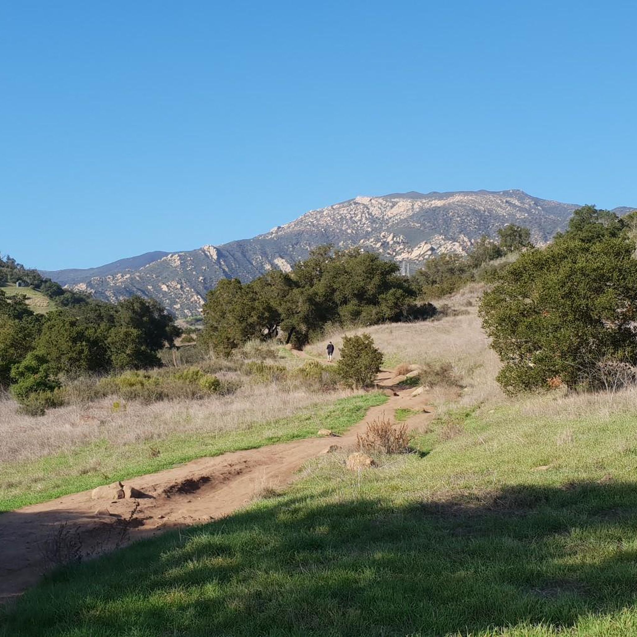
Running Trails around Mission Canyon
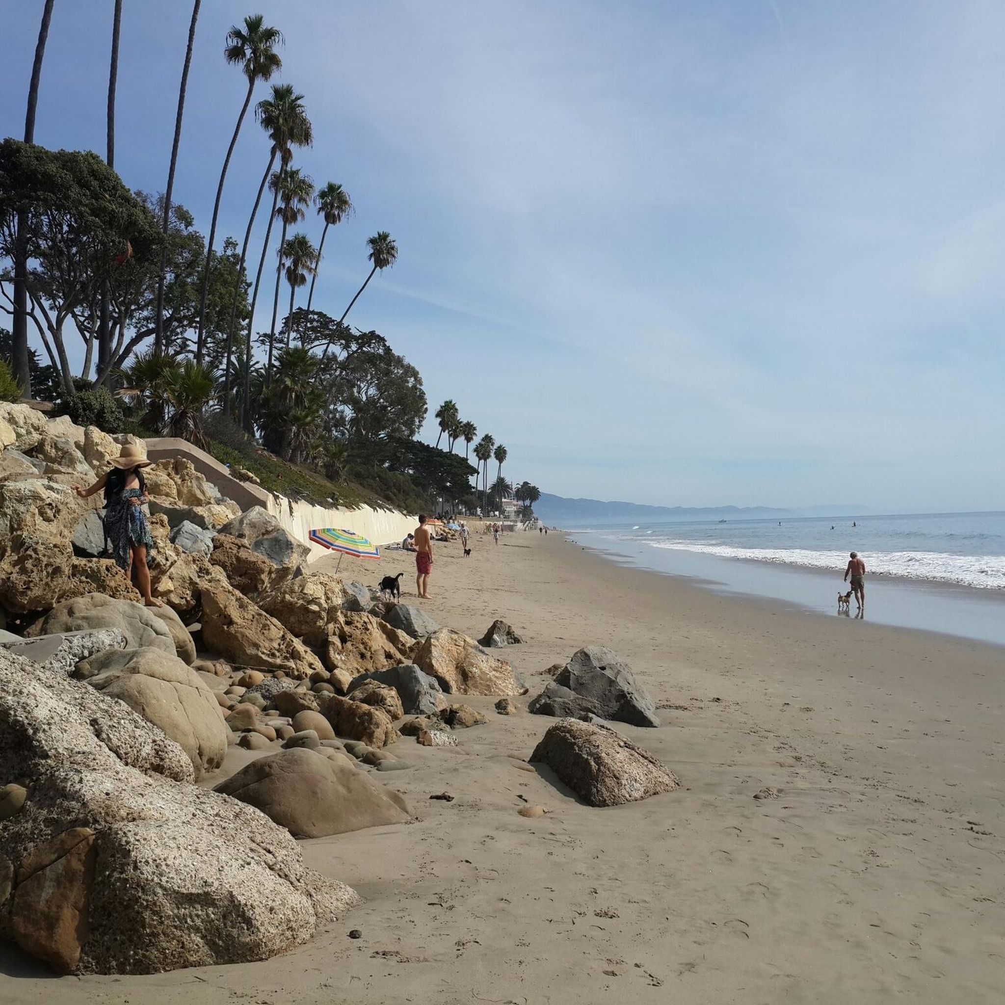
Running Trails around Montecito
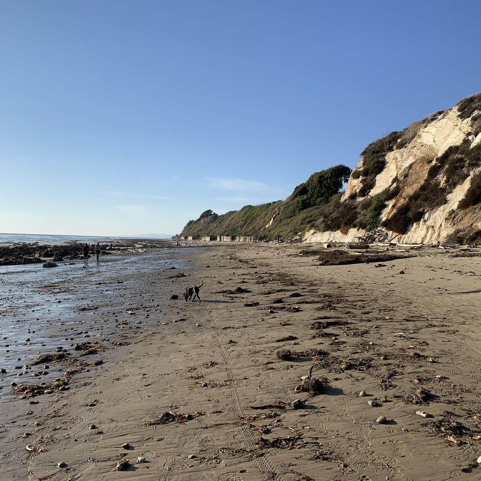
Running Trails around Eastern Goleta Valley

Running Trails around Summerland
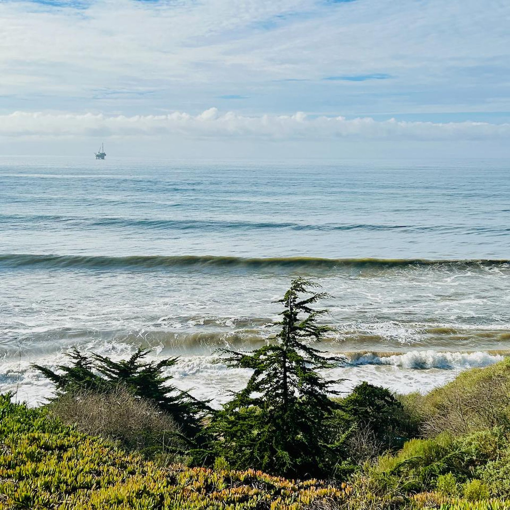
Running Trails around Isla Vista
Running Trails around Isla Vista
Other adventures in Santa Barbara County


Tips from the Community

Jesusita Trail transitions through different terrains and is shaded in the beginning by an oak woodland, passing by San Roque Creek, then crosses a field with views of the mountain range ahead. The trail goes up the Santa Ynez Mountains, offering expanded views of the Pacific Ocean.
0
0


Small bay where seals, pelicans, eagles 🦅 and other animals have their resting place.
0
0

Stearns Wharf is located in the port of Santa Barbara, California, USA. After its completion in 1872, it became the longest deep-water wharf between San Pedro and San Francisco. Named after its builder, local lumberjack John P. Stearns, the wharf served passenger and cargo shipping on California's south coast for over a quarter of a century.
0
0

Devereux Beach, also known as West Campus Beach, is located a stone's throw away from the University of California. You can either run on the wide concrete path that runs adjacent to the beach, or pop your shoes into your bag and enjoy a barefoot run on the sand.
1
0
Elwood Forest Park is a dreamy location for a run. You've got the beach, cliffs, mountain views and an extensive network of flat, compact-dirt trails with unlimited opportunities for loops and laps.
0
0
Obern Trail is a great trail for running. It's paved, flat, and surrounded by nature. The full trail is 21 miles long and is looped, so if you're training for a marathon, this could be a good training route.
0
0
This is a county run park located a stone's throw away from the University of California Santa Barbara. The park features a long wooden pier, plenty of sand, picnic benches, shady trees, café and public toilets.
1
0
Frequently Asked Questions
What kind of terrain can I expect on running routes in Santa Barbara County?
Santa Barbara County offers a wide variety of terrains for runners. You can find flat, paved paths along the Pacific Ocean coastline, such as the Santa Barbara Beach Trail, or more challenging hilly trails in the Santa Ynez Mountains, like the difficult Inspiration Point via Jesusita Trail. There are also routes through urban parks and natural settings, ensuring options for all preferences and fitness levels.
Are there many easy jogging routes suitable for beginners or casual runners?
Yes, Santa Barbara County has numerous easy running routes. Out of over 230 routes, 24 are classified as easy. A great option for a relaxed run is the Chase Palm Park 5k running loop from Santa Barbara Station, which is flat and offers pleasant scenery.
What are some scenic running routes with great views in Santa Barbara County?
For breathtaking views, consider routes that hug the coastline or ascend into the mountains. The Santa Barbara Beach Trail offers continuous ocean vistas. For panoramic views of the coastline, city, and Channel Islands, the Inspiration Point via Jesusita Trail is highly recommended, though it is a more challenging run.
Are there any long-distance running trails for endurance training?
Absolutely. For longer runs, the Obern Trail is an excellent choice, spanning approximately 8 miles (12.9 km) through a natural setting. The paved Cabrillo Bike Path, stretching from Leadbetter Beach to Butterfly Beach, also provides an ideal surface for extended seaside runs.
What natural features or attractions can I see along the running paths?
Santa Barbara County's routes often pass by stunning natural features. Along coastal runs, you might see Andrée Clark Bird Refuge, Stearns Wharf, and various beaches like East Beach and Butterfly Beach. Mountain trails offer views of sculpted sandstone formations and, at times, waterfalls. The Douglas Family Preserve provides gentle blufftop paths with ocean views, and the Santa Barbara Botanic Garden features native California plants and redwood groves.
Are there any family-friendly jogging routes in the area?
Many of the flatter, paved routes are suitable for families. The Chase Palm Park 5k running loop is a great option, offering an easy run through a pleasant urban park. The Douglas Family Preserve also has gentle paths perfect for a family outing.
Can I bring my dog on the running trails in Santa Barbara County?
Many trails in Santa Barbara County are dog-friendly, but it's always best to check specific trail regulations before heading out. The Douglas Family Preserve is a popular spot for dog owners, offering open spaces and blufftop paths. Always keep your dog on a leash and clean up after them.
What is the best time of year to go running in Santa Barbara County?
Santa Barbara County enjoys a Mediterranean climate with over 300 days of sunshine annually, making it an ideal destination for year-round running. The consistent pleasant weather means you can enjoy the trails in any season, though mornings and evenings are often cooler during summer months.
Are there loop running routes available?
Yes, there are several excellent loop running routes. The Chase Palm Park 5k running loop is a popular choice for a shorter, easy loop. For a longer option, the East Beach running loop from Waterfront provides continuous beachfront views.
How do other runners rate the trails in Santa Barbara County?
The running routes in Santa Barbara County are highly regarded by the komoot community, with an average rating of 4.6 stars from over 60 reviews. Runners frequently praise the diverse landscapes, from stunning ocean views to challenging mountain ascents, and the well-maintained paths that cater to all ability levels.
Are there any running routes that are accessible by public transport?
Many routes in Santa Barbara are accessible via public transport, especially those closer to urban centers. For example, the Chase Palm Park 5k running loop starts near Santa Barbara Station, making it convenient for those using public transportation.
Where can I find parking for the running trails?
Parking is generally available at or near many trailheads and popular running spots. Coastal areas like Leadbetter Beach and East Beach have designated parking lots. For mountain trails, specific parking areas are often indicated. It's advisable to check the starting point of your chosen route for detailed parking information.
Most popular routes in Santa Barbara County
Most popular attractions in Santa Barbara County

Get inspired with the komoot mobile app


Didn’t find what you were looking for?
Check out more Running Trails & Routes throughout Santa Barbara County below and find the perfect route in your destination.
Explore more
Browse the best Running Trails & Routes in other regions.
