The best walks and hikes around Oxundasjön
4.4
(26)
168
hikers
37
hikes
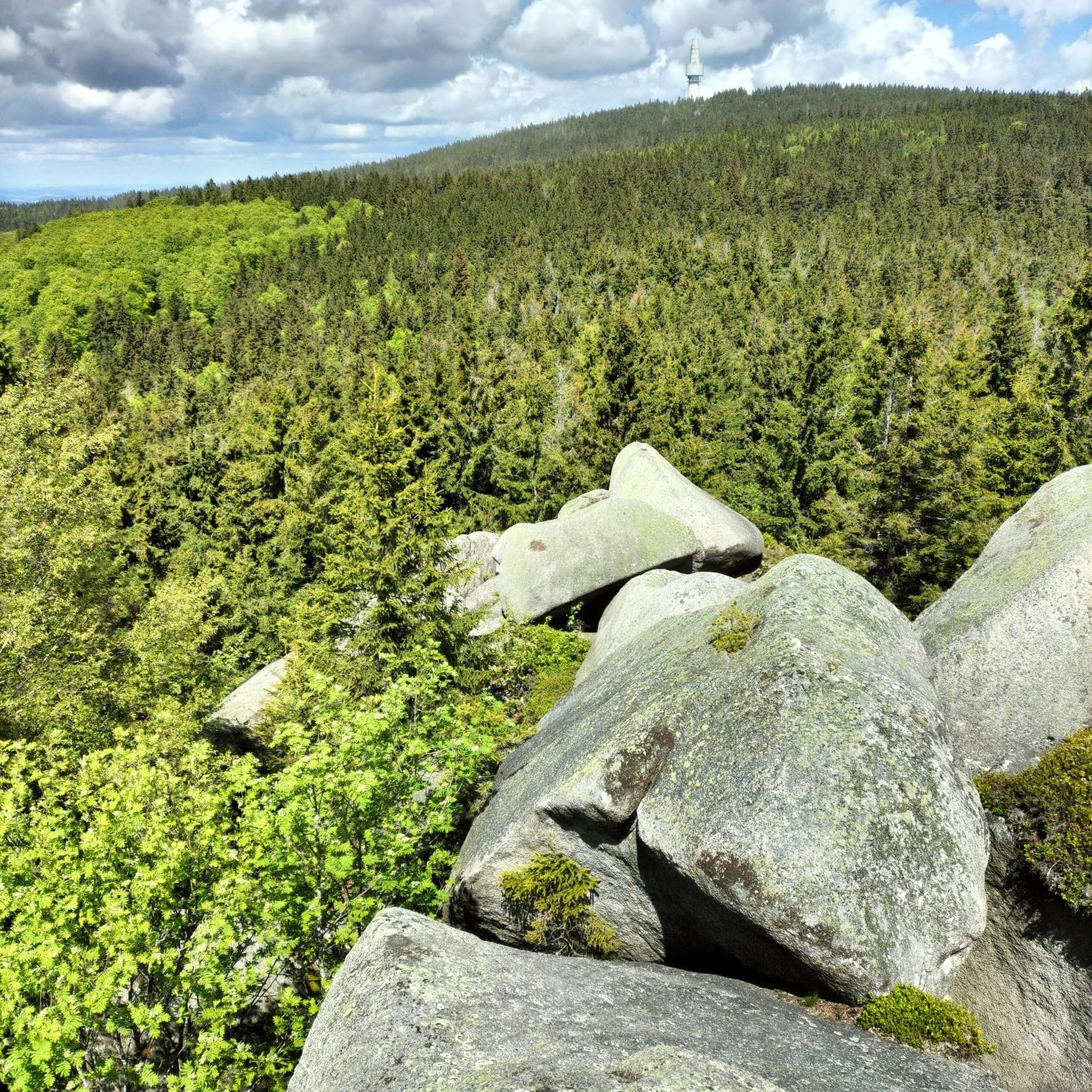
Hiking around Oxundasjön offers diverse terrain centered on a rift valley lake, spanning parts of Upplands Väsby and Sigtuna municipalities. The region features a significant natural forest at the northeastern end of the lake, known for its birdlife, alongside ancient forests and open meadows. The broader landscape is characterized by a mix of forests and agricultural land, providing varied environments for outdoor activities. Historical sites, including ancient forts and Iron Age burial grounds, are also present, integrating cultural heritage into…
Last updated: June 26, 2026
4.3
(4)
14
hikers
7.44km
01:57
50m
50m
Easy hike. Great for any fitness level. Easily-accessible paths. Suitable for all skill levels.
3.0
(1)
2
hikers
Moderate hike. Great for any fitness level. Mostly accessible paths. Sure-footedness required.

Sign up for free
10
hikers
Moderate hike. Good fitness required. Easily-accessible paths. Suitable for all skill levels.
5.0
(1)
6
hikers
Easy hike. Great for any fitness level. Easily-accessible paths. Suitable for all skill levels.
7
hikers
7.67km
02:00
50m
50m
Moderate hike. Good fitness required. Easily-accessible paths. Suitable for all skill levels.
Get access to more routes and recommendations from other explorers.
Sign up for free
Already have an account?
Our route recommendations are based on thousands of hikes, rides, and runs completed by other people on komoot.
Start today with a free account
Your next adventure awaits.
Login or Signup
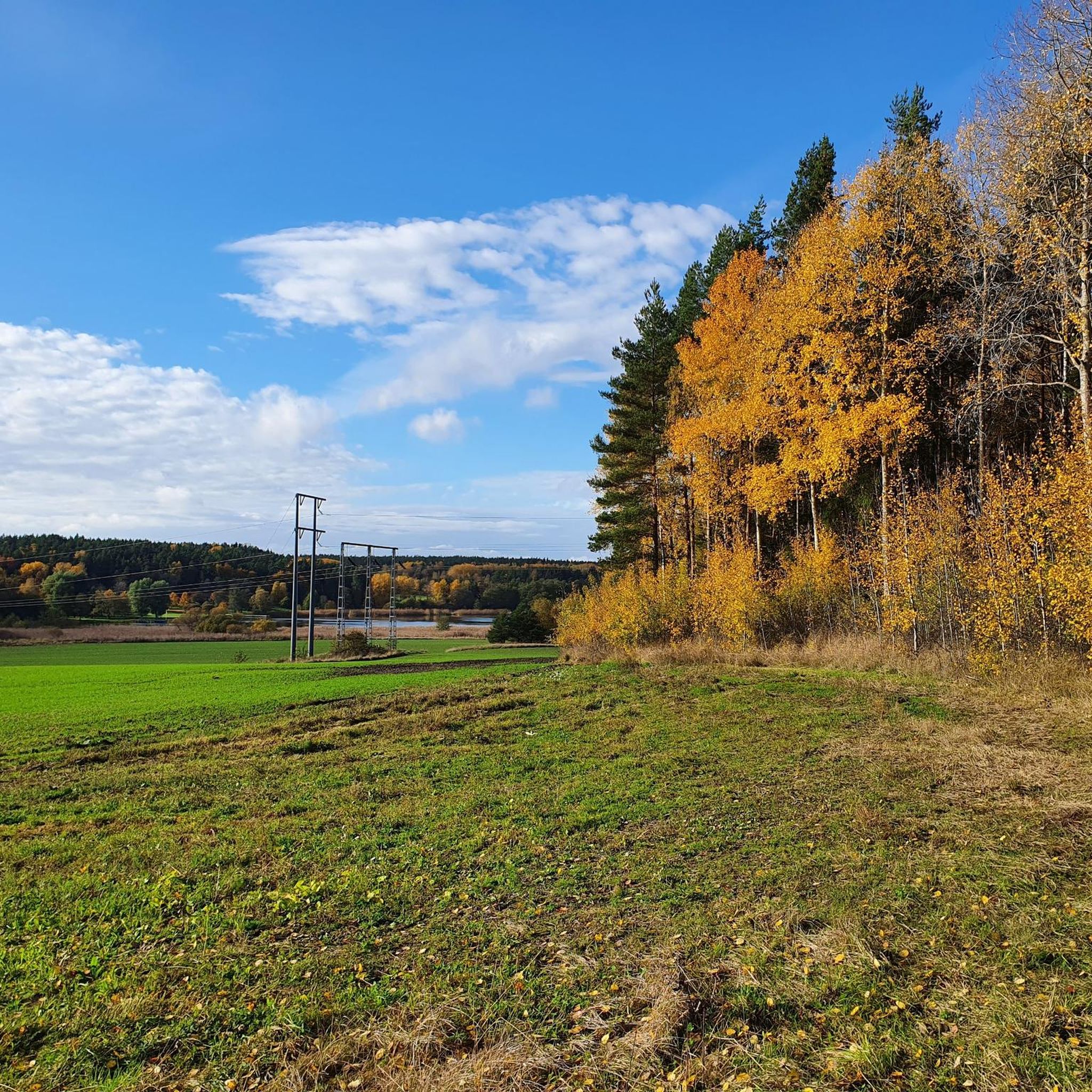
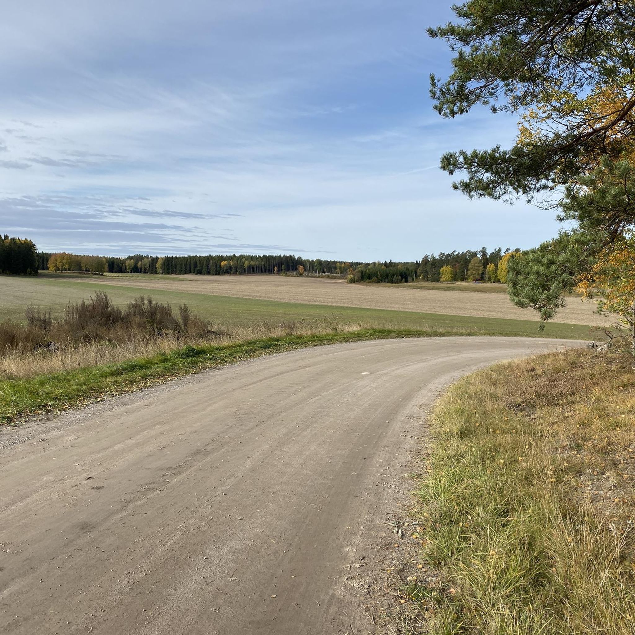
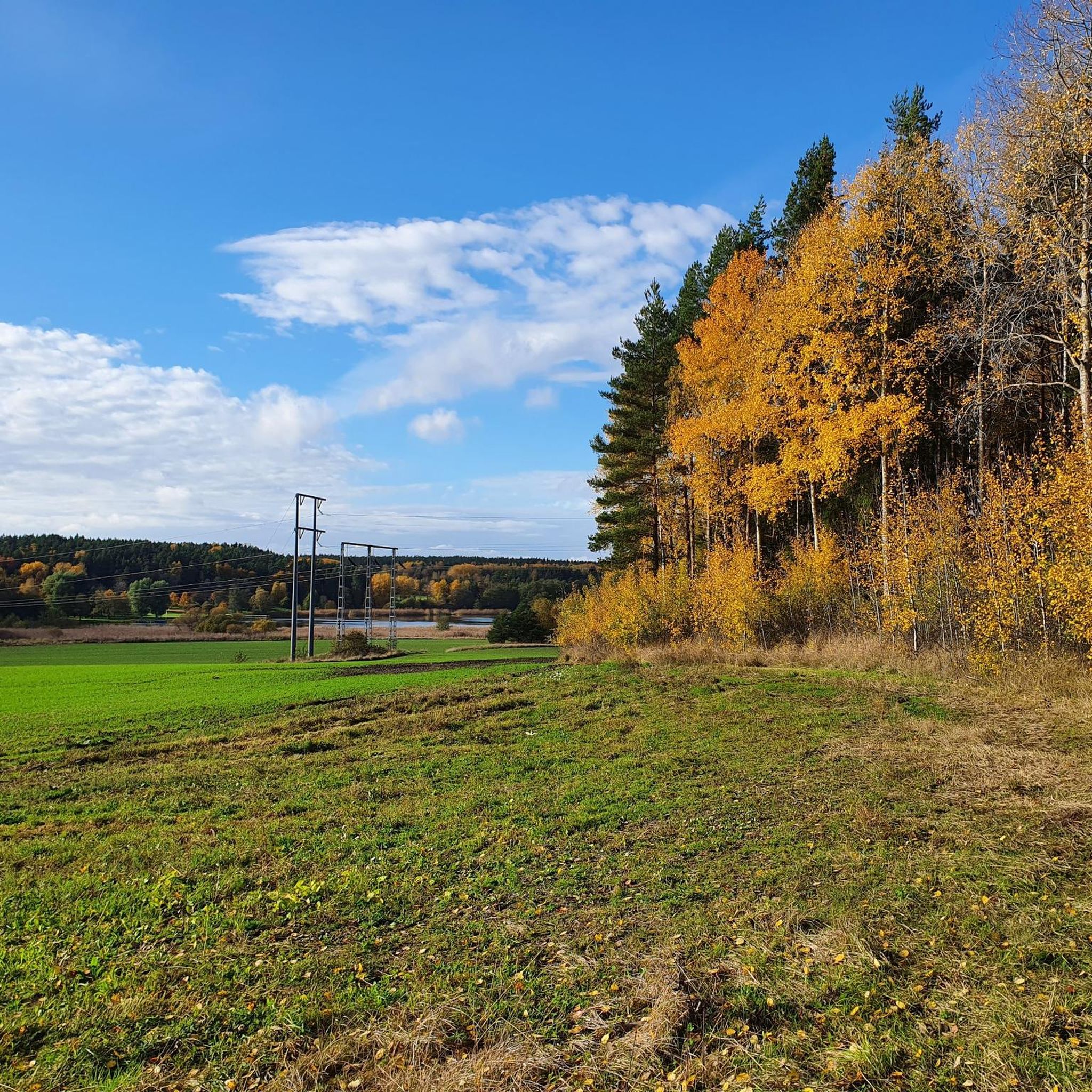
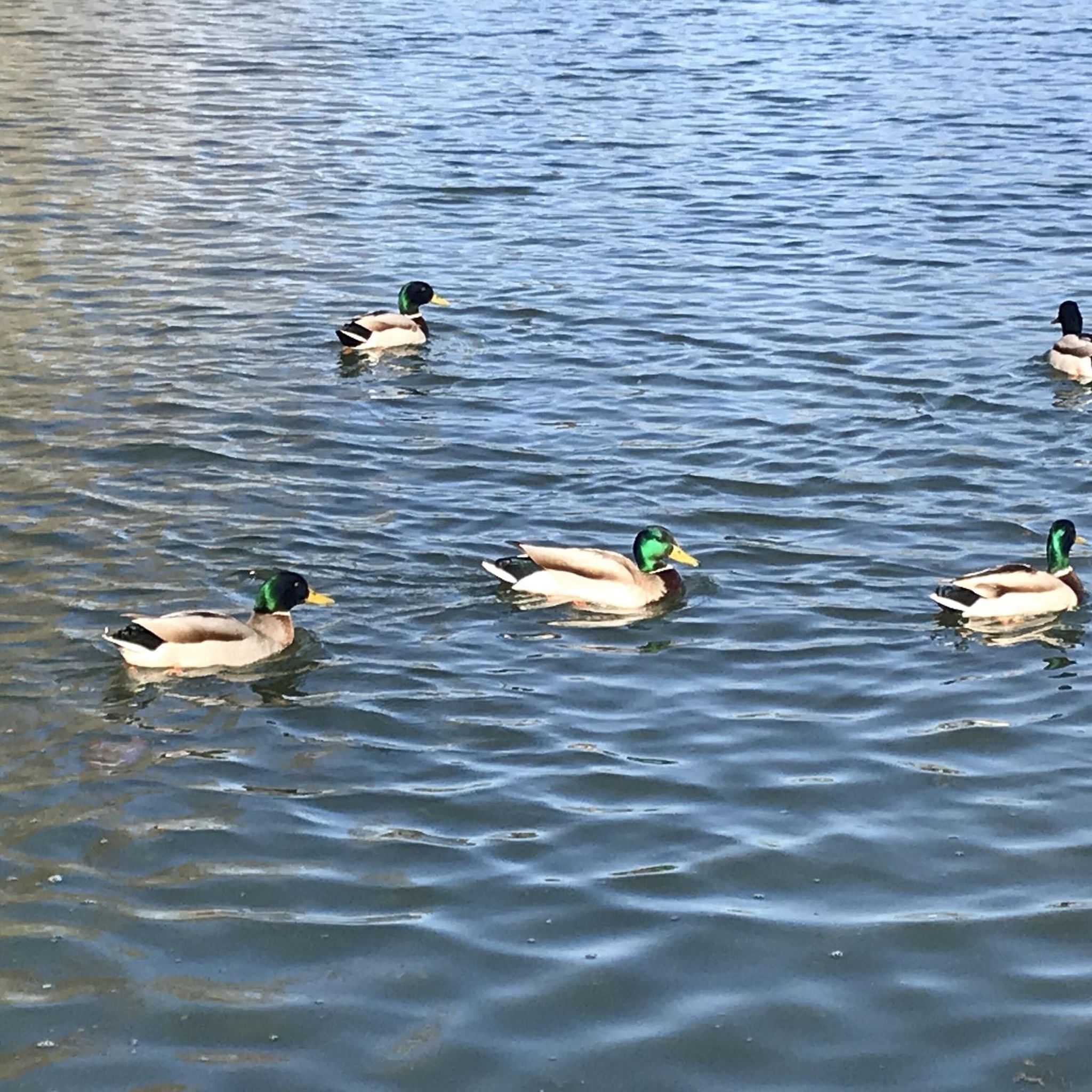
Tips from the Community

A scenic 7.5 km lighted trail west of Upplands Väsby, ideal for running or walking. Gently hilly, marked with yellow and white signs, and partly prepared for skiing in winter. Surrounded by ancient forest, perfect for outdoor activities.
0
0

Rosersberg Castle, there is a beautiful castle park for walking and there are bathing areas and a barbecue area. In between you will come across magical places with fantastic views of the archipelago island and the lake in general. Take a photo!! It is worth it
0
0

I was scared when i heard gunshots from far away, and thought about the danger of hiking when hunters are around. But that was a gigantic shooting range area. They have fields/forest on both sides of the road (which is the trail of the Upplandsleden). It's not a remarkable site on itself, it's just to warn hikers, so they don't freak out (lile me 😆)
1
0
Nice viewing point on the lake. I tried to reach it from the rocks/rune below, but didn't see a clear path. I guess it would require some climbing. So I accessed by the path on the other side, which is not marked, but easy to follow. It's not really steep, it's easy to go up.
0
0
Directly on the path, we pass through 2 big rocks. On the left, there is a small wooden area around the rock, with a table and benches. Really nice to enjoy the view on the lake. But don't forget to turn around: on the rock itself, is a gigantic rune. I almost missed it, as I was focused on the lake view.
0
0
Very nice wind-shelter that can be used for sleeping. Fireplace just in front. The area is large, I could pitch my tent easily. It's possible to take a small path going down, to get out of the trees and see the sunset on the lake.
0
0
Nice viewing point, directly on the Upplandsleden
0
0
Wind-shelter that can be used for sleeping. Fireplace. Just in front of the lake.
0
0
Frequently Asked Questions
How many hiking trails are available around Oxundasjön?
There are over 35 hiking routes available around Oxundasjön, offering a variety of experiences for different skill levels. You'll find a good mix of easy and moderate trails to explore the area's natural beauty and historical sites.
What kind of terrain can I expect on hikes near Oxundasjön?
Hikes around Oxundasjön feature diverse terrain, centered on a rift valley lake. You'll encounter ancient natural forests, known for their rich birdlife, as well as areas of agricultural land. The landscape offers a blend of serene nature and cultural heritage, with paths winding through woodlands and along the lake's edges.
Are there any easy hiking options suitable for beginners in the Oxundasjön area?
Yes, approximately 20 of the routes around Oxundasjön are classified as easy, making them perfect for beginners or those looking for a relaxed stroll. An example is the Kairo Trail, which is an easy 7.4 km walk through the local landscape.
Can I find circular hiking routes around Oxundasjön?
Yes, many of the trails around Oxundasjön are designed as circular routes, allowing you to start and end at the same point. For instance, the View of the Frozen Lake – Runsahalvön Parking Area loop from Njursta offers a moderate 8 km loop with scenic views of the lake and the Runsahalvön area.
Are the hiking trails around Oxundasjön suitable for families with children?
Many of the easier trails around Oxundasjön are well-suited for families. The varied landscape, with its ancient forests and historical sites, provides engaging points of interest for children. Look for routes with shorter distances and minimal elevation gain for a comfortable family outing.
Are dogs allowed on the hiking trails in Oxundasjön?
Generally, dogs are welcome on hiking trails in the Oxundasjön area, but it's always recommended to keep them on a leash, especially when passing through nature reserves or areas with sensitive wildlife, such as the ancient forest known for its birdlife. Please ensure to clean up after your pet.
What historical or natural landmarks can I see while hiking near Oxundasjön?
The area is rich in both natural and historical landmarks. You can explore the untouched, century-old natural forest at the northeastern end of the lake, which is a haven for birdlife. Historically, the Runsahalvön (Runsa Peninsula) features the impressive Runsa ancient fort and one of Sweden's largest Runsa ship settings. The 19th-century Oxunda farm and an Iron Age burial ground are also located on the western side of the lake, adding layers of intrigue to your hike.
Where can I park when visiting the hiking trails around Oxundasjön?
Parking is generally available at common starting points for trails, such as near the Runsahalvön area or other designated access points around the lake. For example, the View of the Frozen Lake – Runsahalvön Parking Area loop from Njursta suggests a parking area at its starting point.
What is the best time of year to go hiking in Oxundasjön?
The best time to hike in Oxundasjön is typically during spring, summer, and autumn when the weather is mild and the natural scenery is at its most vibrant. Spring brings blooming flora and active birdlife, while autumn offers beautiful fall colors. While the lake can experience algal blooms in warmer months, the surrounding terrestrial trails remain enjoyable.
Are there any longer, more challenging hikes available in the region?
While most routes are easy to moderate, the broader Uppland region near Oxundasjön includes more challenging sections of the renowned Ingegerd Route. For example, the 'Eds kyrka - Rosersbergs slott' stage is an 18.6 km hike that takes approximately 4 hours and 45 minutes, offering a more demanding experience. Within the immediate Oxundasjön area, routes like the Rosersberg Palace – Picnic Area by the Lake loop from Rosersberg offer a moderate 9.7 km challenge.
What do other hikers say about the trails in Oxundasjön?
The hiking trails in Oxundasjön are highly regarded by the komoot community, with an average rating of 4.4 stars from over 30 reviews. Hikers often praise the varied terrain, the peaceful natural settings, and the opportunity to combine nature exploration with historical discovery.
Are there any places to eat or get refreshments near the Oxundasjön hiking trails?
While the immediate lakeside area is primarily natural, the surrounding municipalities of Upplands Väsby and Sigtuna offer amenities such as cafes and restaurants. It's advisable to check local listings for establishments near your chosen trailhead, or consider packing a picnic to enjoy at one of the scenic spots, such as the one found on the Picnic Area by the Lake – View of the Lake loop from Rosersbergs slott.
Most popular routes around Oxundasjön

Get inspired with the komoot mobile app


Explore more
Browse the best Hikes in other regions.
