The best walks and hikes in Klamath County
4.7
(146)
2,478
hikers
57
hikes
Hiking in Klamath County offers diverse landscapes, including volcanic terrain, alpine lakes, and rugged mountain ridges. The region is characterized by dense forests and features the iconic Crater Lake National Park. This area provides a variety of trails suitable for different skill levels, from short walks to longer wilderness adventures.
Best hiking trails in Klamath County
- The most popular hiking route is Cleetwood Cove Trail – Crater Lake National Park, an easy 2.1 miles (3.4 km) trail that takes about 1 hour 8 minutes to complete, descending to the lake's shore.
- Another top favourite among local hikers is Garfield Peak Trail – Crater Lake National Park, an easy 3.5 miles (5.6 km) path. This trail offers panoramic views of Crater Lake and its surroundings.
- Local hikers also love the Watchman Peak Trail — Crater Lake National Park, a 1.8 miles (2.9 km) trail leading to a prominent viewpoint, often completed in about 52 minutes.
- Hiking in Klamath County is defined by volcanic landscapes, pristine alpine lakes, and dense forests. The network offers options for various ability levels, from easy walks to moderate ascents.
- The routes in Klamath County are highly rated by the komoot community with an average score of 4.8 stars from more than 100 reviews. More than 2000 hikers have used komoot to explore Klamath County's varied terrain.
Last updated: October 10, 2026
4.9
(20)
496
hikers
3.43km
01:08
170m
170m
Easy hike. Great for any fitness level. Easily-accessible paths. Suitable for all skill levels.
8
hikers
4.34km
01:15
100m
120m
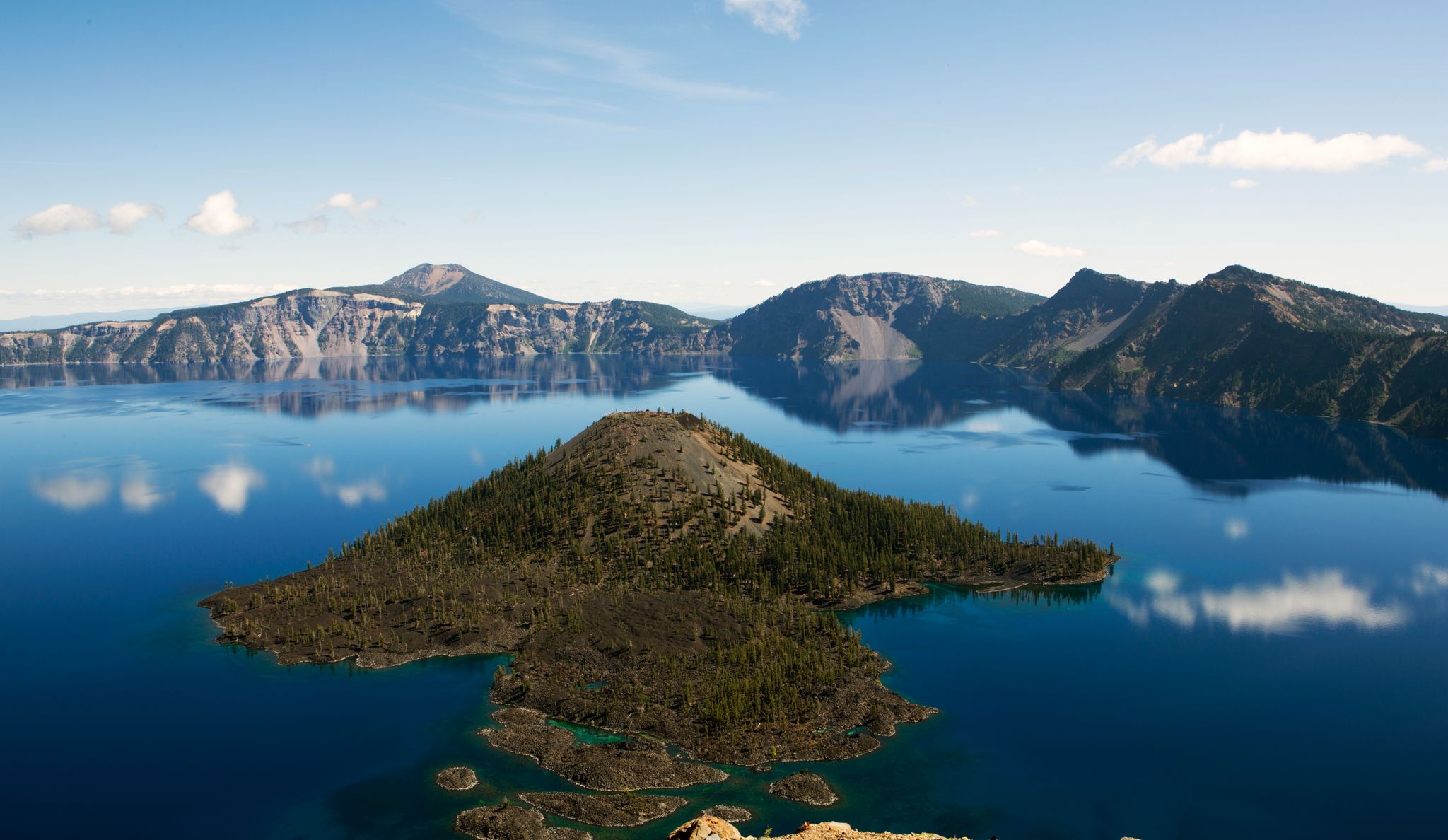
The Rim Trail and Discovery Point Trail offers an unparalleled opportunity to experience Crater Lake's grandeur up close. This easy 2.7-mile (4.3 km) hike, with a gentle 316 feet (96 metres) of elevation gain, guides you along the caldera rim, providing continuous, postcard-perfect views of the lake's deep blue waters and the iconic Wizard Island. You'll wander through fragrant forests of Mountain hemlock and whitebark pine, with the path alternating between shaded sections and open viewpoints, making for a truly immersive experience that takes around 1 hour and 14 minutes.
Access to the trail is convenient, largely paralleling West Rim Drive and starting near Rim Village. While generally considered easy and suitable for all ages, the trail does have some initial hilly sections. For the best experience, aim for an early morning start to catch the lake at its calmest and avoid potential crowds. Be mindful that snow can persist on parts of the trail into early July, and winter conditions can be hazardous with dangerous cornices along the rim.
This route is historically significant, passing Discovery Point, where Crater Lake was first sighted by gold prospector John Wesley Hillman in 1853. It offers a more intimate perspective of the lake than roadside pullouts, with educational exhibits along the way. The combination of easy accessibility, stunning scenery, and historical context makes this one of the top family-friendly hikes in Crater Lake National Park.

7
hikers
5.63km
01:38
230m
10m
Discover the serene beauty of the Lower, Middle, and Upper Rosary Lakes on an easy 3.5-mile (5.6 km) hike. As you ascend 758 feet (231 metres) through a mixed forest of mountain hemlock and lodgepole pine, you will find the three lakes appearing like beads on a rosary. The Middle Rosary Lake offers particularly scenic views, with Pulpit Rock rising dramatically from its western shore, making for a memorable experience that takes about 1 hour and 37 minutes.
Planning your visit is straightforward, as the trailhead for this route is generally well-marked and easily accessible. You will find pit toilets available during the summer months for your convenience. Be aware that during the winter, the trail can become icy, increasing its difficulty and making it more suitable for snowshoeing or cross-country skiing. Always check conditions before you head out, especially in colder seasons.
This popular trail is known for its unique chain of lakes, a natural feature that gives the area its distinctive name. Beyond the immediate trail, you might catch glimpses of the larger Odell Lake and the distant Diamond Peak through the trees, adding to the expansive feel of the landscape. For those interested in extending their adventure, campsites are available at all three lakes, allowing for an overnight backpacking trip.
5
hikers
8.37km
02:23
310m
0m
Embark on the Whitefish Creek Trail, a moderate hike that guides you through lodgepole pine forests. You will ascend to stunning views of Diamond Peak from Diamond View Lake, a perfect spot to pause and take in the scenery. This route spans 5.2 miles (8.4 km) with an elevation gain of 1006 feet (307 metres), typically taking around 2 hours and 23 minutes to complete. As you descend, the trail follows Trapper Creek, winding through sections of Engelmann spruce and white fir, and passes by other beautiful lakes like Yoran and Karen, where you can enjoy the sound of flowing water.
Before you head out, remember that wilderness permits are required for both day-use and overnight trips in the Diamond Peak Wilderness Area during specific seasons. The Whitefish Creek Trail is dog-friendly, so feel free to bring your canine companion along for a family outing. Always check the current local conditions and permit requirements before your visit to ensure a smooth and enjoyable experience.
This trail offers a rewarding journey into the natural beauty of the Diamond Peak Wilderness. It provides a chance to experience diverse forest ecosystems and enjoy serene lakeside moments. The combination of forest hiking, mountain views, and tranquil waters makes this a notable option for exploring the region's outdoors.
4
hikers
7.51km
02:23
420m
100m
Embark on the Dutton Creek Trail for a moderate hiking adventure through the serene landscapes of Crater Lake National Park. This route spans 4.7 miles (7.5 km) and involves a steady climb of 1372 feet (418 metres), typically taking about 2 hours and 23 minutes to complete. You will find yourself immersed in quiet, old-growth forests, where mountain hemlock and Shasta red fir create a peaceful canopy, offering filtered light and soft ground underfoot. As you descend, the scenery transitions to lodgepole pine stands and open grassy meadows, leading you towards a notable junction with the Pacific Crest Trail. This trail provides a distinct backcountry experience, offering a different perspective than the more frequented viewpoints around the lake's rim. It is a perfect choice if you are looking for a tranquil escape into nature.
Before you head out, be aware that snow can persist on the trail well into July, so checking current conditions is always a good idea. While the trail is named after Dutton Creek, the creek itself might not be a dependable water source, especially during the drier summer months, so remember to bring enough water for your entire hike. This trail is also a great option if you wish to bring your canine companion along, as dogs are permitted on the route. Plan your visit to enjoy the quiet solitude and natural beauty away from the park's busier areas.
The Dutton Creek Trail stands out for its unique opportunity to explore the less-traveled parts of Crater Lake National Park. Unlike the more popular rim trails, this route offers a deep dive into the park's diverse forest ecosystems, from dense old-growth sections to more open pine stands. Its connection to the iconic Pacific Crest Trail adds an extra layer of interest, hinting at longer journeys and broader wilderness. This trail is particularly notable for providing a quiet, immersive experience that contrasts sharply with the often-crowded scenic overlooks, allowing you to connect with the park's natural environment on a more intimate level.
3
hikers
14.5km
04:16
430m
430m
The Spence Mountain Loop offers a diverse hiking experience, leading you through varied terrain to spectacular viewpoints overlooking Upper Klamath Lake. You'll navigate a mix of old logging roads and more technical, rocky paths, with the reward of panoramic 360-degree views from the summit of Spence Mountain, potentially even spotting Mount Shasta in the distance. This moderate 9.0-mile (14.5 km) route involves 1421 feet (433 metres) of elevation gain and typically takes about 4 hours and 15 minutes to complete.
Planning your visit to Spence Mountain is best done from early spring through late fall, taking advantage of the region's dry climate. Be prepared for potentially hot and dusty conditions if hiking in mid-summer, and always carry enough water. The trail system is well-signed, and it's often suggested to hike the loop counter-clockwise for the best experience. Parking is available at the trailhead, but consider an early start, especially on busy days.
Spence Mountain is a relatively new and expanding trail system, originally conceived and built by mountain bikers, now boasting nearly 60 miles of multi-use trails managed by the Klamath Trails Alliance. This area became the Spence Mountain Community Forest in 2022, highlighting its importance for public recreation. Keep an eye out for wildlife, as the area, particularly around Shoalwater Bay, is known for its significant bald eagle population.
2
hikers
10.2km
02:45
150m
100m
The Cold Spring Trail Loop offers a dynamic hiking experience, transitioning from lush, shaded creek beds to exposed ridgelines with expansive coastal views. You'll navigate multiple creek crossings and switchbacks as you climb, eventually reaching panoramic vistas of the Santa Barbara coastline and the Channel Islands, especially from Vista Point. It's a journey through diverse ecosystems, from riparian zones to sun-exposed chaparral, making for a varied and engaging outing.
This moderate 6.3-mile (10.2 km) hike involves 487 feet (148 metres) of elevation gain and typically takes about 2 hours and 44 minutes. Parking can be competitive, particularly on weekends, so an early start is recommended. The trail is dog-friendly, though leashes are required, and wearing pants is advisable due to potentially overgrown sections.
Beyond its scenic beauty, the Cold Spring Trail Loop is notable for its connectivity, linking to other popular trails like those leading to Montecito Peak or Camino Cielo for longer, more strenuous adventures. The presence of perennial streams, small waterfalls, and swimming holes adds to its appeal, making it a popular choice for those seeking both natural beauty and a good workout in the Montecito area.
4.66km
01:19
130m
50m
Embark on an easy hike along the Brown Mountain Trail, a pleasant route spanning 2.9 miles (4.7 km) with a gentle elevation gain of 433 feet (132 metres). You can expect to spend about 1 hour and 19 minutes exploring the diverse forest landscapes typical of the Rogue River-Siskiyou National Forest. As you hike, you will encounter the serene Cascade Canal, a peaceful waterway that adds to the trail's charm. Further along, a unique lava path offers a distinct change in terrain and opens up impressive views of Mount McLoughlin in the distance. This trail provides a straightforward and enjoyable outdoor experience for anyone looking for a relaxed outing.
To plan your visit, you will find parking readily available at the Summit Snow Park, which serves as the trailhead for the Brown Mountain Trail. The route is generally accessible, making it a good choice for many hikers. There are no specific warnings regarding snow conditions, road closures, or permits that you need to worry about for this particular trail. You can simply arrive and begin your adventure, enjoying the natural surroundings at your own pace.
The Brown Mountain Trail stands out for its interesting geological features, particularly the lava path you will traverse. This unique section provides a glimpse into the region's volcanic past, offering a different kind of terrain compared to the surrounding forest. The trail is nestled within the expansive Rogue River-Siskiyou National Forest, known for its rich biodiversity and scenic beauty. It offers a great opportunity to connect with nature and appreciate the varied landscapes of Southern Oregon.
1
hikers
4.04km
01:15
150m
130m
The Lower Klamath Basin Trail offers an easy 2.5-mile (4.0 km) hike with 507 feet (154 metres) of elevation gain, taking about 1 hour and 15 minutes to complete. You'll wander through a diverse landscape of shallow freshwater marshes, open water, grassy uplands, and croplands within the Lower Klamath National Wildlife Refuge. Expect primarily flat terrain, beautiful wildflowers, and unparalleled opportunities for birdwatching, making it a relaxing and visually rich experience.
To make the most of your visit, consider the seasons: spring and fall are prime for observing the vast numbers of waterfowl that funnel through the Klamath Basin, while winter brings the largest concentration of Bald Eagles in the lower 48 states. The refuge is a critical habitat for these birds, and you'll find excellent vantage points along the trail. If you prefer, auto tours are also available for wildlife viewing.
Established in 1908, the Lower Klamath National Wildlife Refuge holds the distinction of being the nation's first waterfowl refuge, highlighting its historical and ecological significance. Beyond the incredible birdlife, you might also spot deer, squirrels, and chipmun. This trail is suitable for all ages and skill levels, offering a fantastic introduction to the region's natural wonders.
4.9
(20)
363
hikers
5.59km
01:52
290m
290m
The Garfield Peak Trail offers some of the most spectacular and consistent views of Crater Lake you can find, making it one of the most popular routes in the park. As you climb, you'll move from paved sections to rocky dirt paths, winding through forests of hemlocks and firs that eventually give way to subalpine pines. The constant reward is the brilliant blue expanse of Crater Lake, with iconic landmarks like Wizard Island and the Phantom Ship always in sight. Keep an eye out for wildflowers and small alpine wildlife like pikas and marmots on the rocky slopes.
This 3.5-mile (5.6 km) out-and-back hike, with 938 feet (286 metres) of elevation gain, is rated easy and typically takes about 1 hour and 52 minutes. The trailhead is easily accessible from Rim Village and Crater Lake Lodge, but be prepared for potential snow patches even in summer. Always check for trail closures, as snow can cover the route from October to early July. Given the sun exposure, bring ample water and sun protection, especially if you're hiking during the warmer months.
What makes the Garfield Peak Trail truly notable is its unparalleled panoramic views of Crater Lake, often cited as the best in the park, especially at sunset. On clear days, you can even spot distant peaks like Mount Scott and Mount Shasta. Its accessibility and the continuous stunning scenery throughout the journey, not just at the summit, solidify its reputation as a must-do for anyone visiting Crater Lake National Park.
Get access to more routes and recommendations from other explorers.
Already have an account?
Our route recommendations are based on thousands of hikes, rides, and runs completed by other people on komoot.
Start today with a free account
Your next adventure awaits.
Popular around Klamath County
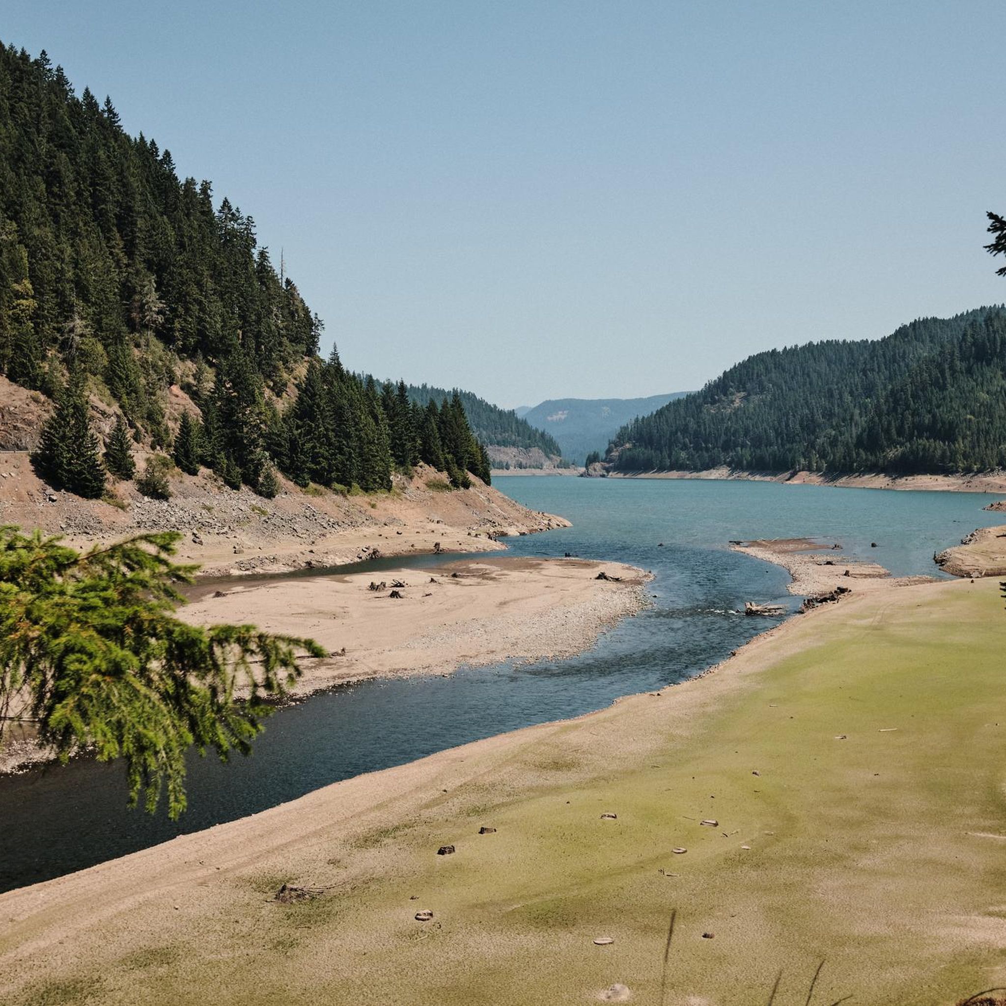
Hiking in Diamond Peak Wilderness
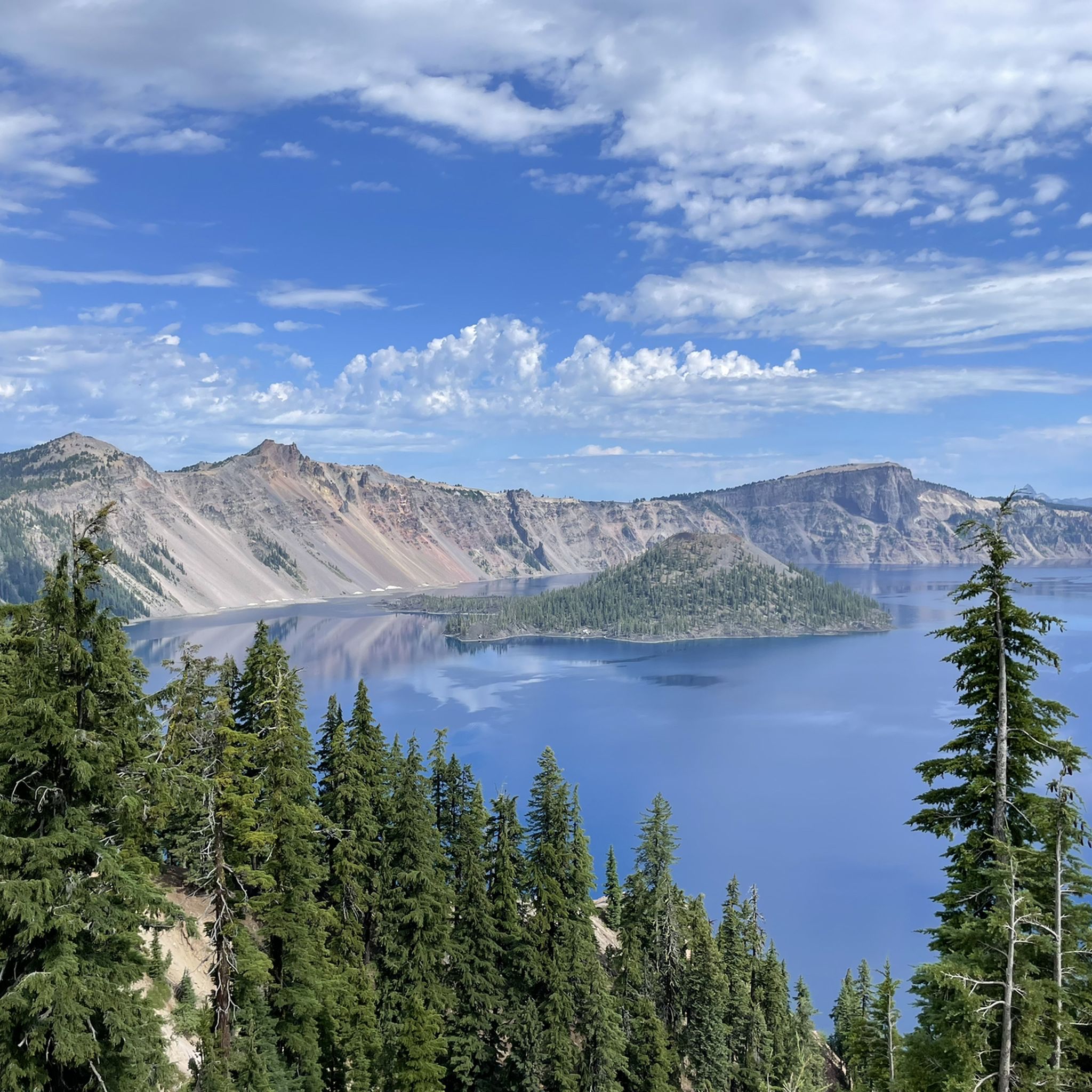
Hiking in Crater Lake National Park
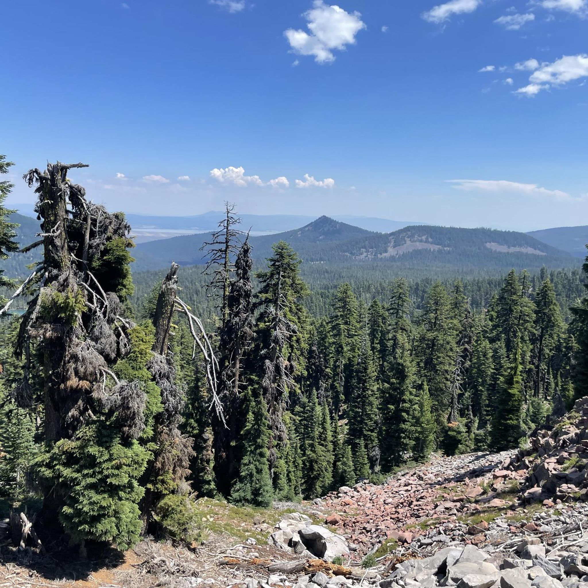
Hiking in Fremont-Winema National Forest
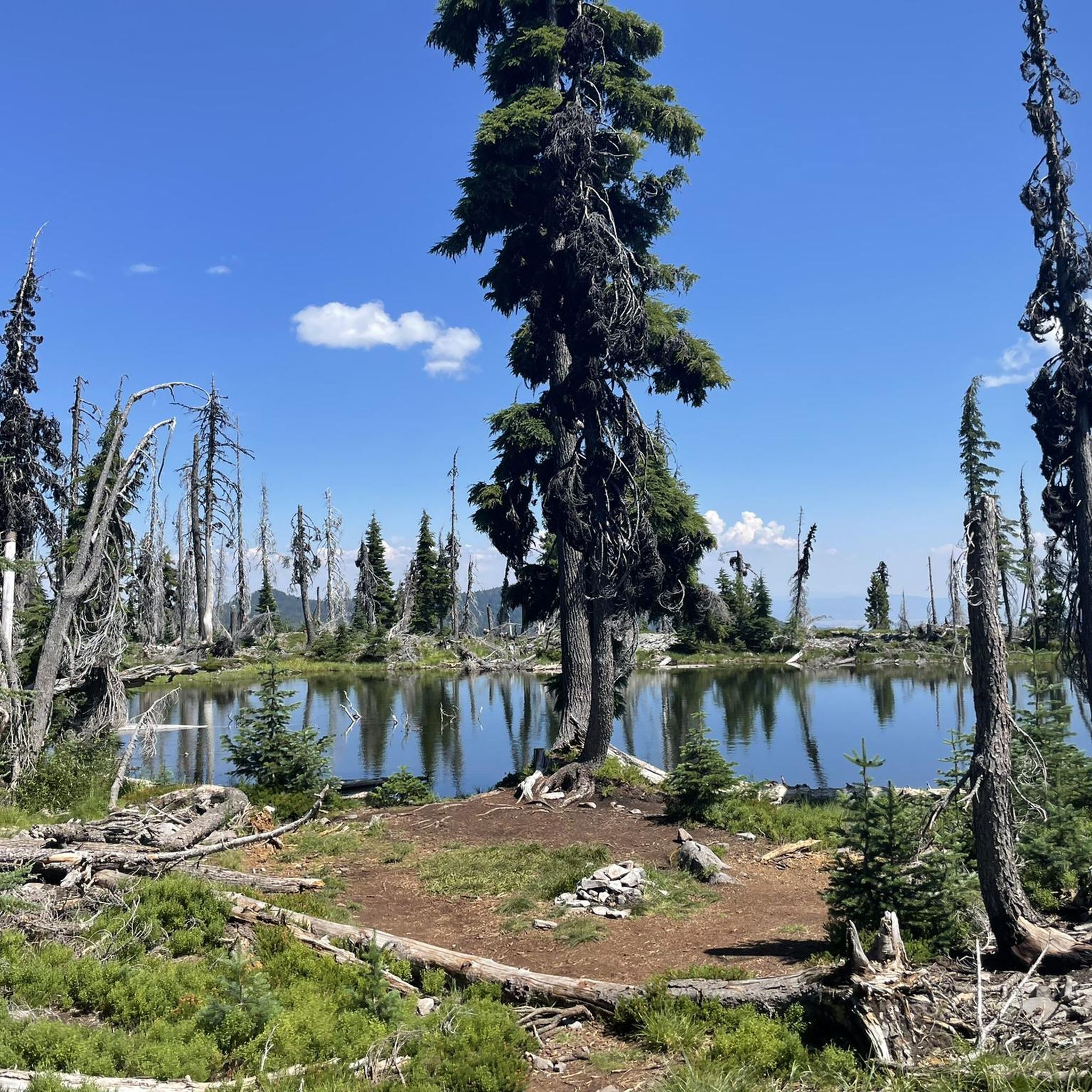
Hiking in Sky Lakes Wilderness

Hiking around Crater Lake

Hiking in Mount Thielsen Wilderness

Hiking in Upper Klamath National Wildlife Refuge

Pacific Crest Trail from Mexico to Canada – 4,200 kilometres of wilderness
Volcanic peaks and glistening shores – discover Oregon and Washington

The pristine beauty of the US National Parks
Other adventures in Klamath County


Tips from the Community

If you walk parallel to the Rim Drive along the crater, you will have fantastic views of the crater lake that are not as crowded as those at Rim Village.
0
0

This trailhead sits just at the east end of the lodge. Although the trail starts out as pavement, it won't be long until it becomes a solid footpath heading up Garfield Peak.
0
0

Upper Klamath Lake is a large natural freshwater lake east of the Cascade Range in southern Oregon, northwest of Klamath Falls, at the foot of Aspen Butte. It is the last remnant of the Pleistocene Lake Modoc and today represents the largest freshwater depot in the Pacific Northwest.
1
0
Is very easy to reach from all parking lots at Crater Lake. Toilets can be found in the gift shop and two adjacent houses. A house ensemble worth seeing with friendly staff in the shop and the bistro.
0
0

A wooden bridge will keep your feet dry when you cross Cascade Canal. It is just around the corner of the iconic Pacific Crest Trail and a nice water source, too.
3
0
While you hike through black fields of lava rock that came out of Brown Mountain and stroll over the reddish trail, look up to see majestic Mount McLoughlin, the southernmost solitary volcano in Oregon. There are trails leading up to the summit, if you are ambitious.
5
1
At the Rim Village, you will find the main visitor center for Crater Lake National Park with nice rangers who will equip you with information and maps for your trip around the lake. There are also restrooms (with water) available that are open even at night, a café and a small gift shop. At the other side of the road, you can enjoy a first and pretty nice view towards Wizard Island within Crater Lake.
0
0
At this location, Crater Lake was first discovered by John Wesley Hillman in June 1853. Crater Lake is the result of a massive eruption of Mount Mazama that collapsed and left a giant hole. Over centuries, the hole filled with rain water and melting snow – the creation of Crater Lake.
1
0
Frequently Asked Questions
How many hiking trails are available in Klamath County?
Klamath County offers a diverse range of over 45 hiking routes. These trails cater to various skill levels, with nearly 30 easy options, 13 moderate routes, and a few challenging trails for experienced hikers.
What is the best time of year to go hiking in Klamath County?
The prime hiking season in Klamath County generally runs from late spring through early fall (May to October). During these months, trails are typically clear of snow, and the weather is ideal for exploring the region's volcanic landscapes, alpine lakes, and dense forests. Higher elevation trails, especially in areas like Crater Lake National Park or the Sky Lakes Wilderness, are best accessed in summer and early fall.
Are there any family-friendly hiking trails in Klamath County?
Yes, Klamath County has several trails suitable for families. Many of the easy routes in Crater Lake National Park are great for all ages. For example, the Sun Notch Trail loop is a short, easy walk with beautiful views. The Annie Creek Canyon Trail also offers an accessible experience within the park.
Can I bring my dog on the hiking trails in Klamath County?
Dog-friendly trail access varies by location in Klamath County. While many national forests and wilderness areas allow dogs on leash, Crater Lake National Park has specific restrictions, generally limiting dogs to paved roads, parking lots, and a few specific trails like the Godfrey Glen Trail or the Pacific Crest Trail section within the park. Always check specific park or wilderness area regulations before heading out with your pet.
Are there any challenging hikes for experienced trekkers in the area?
For those seeking a challenge, Klamath County offers several demanding routes. The Mount Scott Trail in Crater Lake National Park is a moderate ascent to the park's highest point, offering panoramic views. The region also features sections of the Pacific Crest Trail and routes within the Sky Lakes Wilderness, which can be combined for multi-day, challenging backpacking trips.
What kind of natural landmarks or attractions can I see while hiking?
Klamath County is rich in natural beauty. You can explore iconic features like the deep blue waters of Crater Lake National Park, volcanic landscapes, and numerous alpine lakes within the Sky Lakes Wilderness. Many trails offer stunning viewpoints, such as Rim Village or Discovery Point, providing breathtaking vistas of the surrounding mountains and water features.
Are there any loop trails in Klamath County?
Yes, there are several excellent loop trails. For instance, the Sun Notch Trail loop in Crater Lake National Park is a popular short option. Further afield, the Fawn Lake loop via Fawn Lake Trail in Deschutes National Forest offers a longer, moderate experience around a scenic lake.
Do I need a permit to hike in Klamath County?
Permit requirements vary depending on the specific area you plan to hike. While many trails in national forests do not require permits for day use, areas like Crater Lake National Park have entrance fees. For overnight backpacking in wilderness areas such as Sky Lakes Wilderness, you may need to obtain a wilderness permit. Always check with the specific land management agency (e.g., National Park Service, U.S. Forest Service) for the most current regulations before your trip.
What do other hikers enjoy most about hiking in Klamath County?
The hiking experiences in Klamath County are highly rated by the komoot community, with an average score of 4.8 stars from over 130 reviews. Hikers frequently praise the region's diverse and often serene landscapes, from the unique volcanic terrain to the pristine alpine lakes and dense forests. The opportunity for solitude and breathtaking views, especially around Crater Lake, are commonly highlighted.
Are there any trails that feature waterfalls?
While the guide data does not explicitly list trails with waterfalls, the broader Klamath County region is known for its diverse natural features. The Region Research mentions various waterfall hikes, such as those found in the Willamette National Forest like the Salt Creek & Diamond Creek Falls Trail loop, which are accessible from Klamath County. You may find smaller cascades or seasonal falls along many of the mountain and forest trails.
Are there less crowded hiking options available?
Klamath County's remote and wild character often allows for serene experiences without large crowds, especially outside of peak times or popular spots like Crater Lake's main viewpoints. Exploring trails in the expansive Sky Lakes Wilderness or Mountain Lakes Wilderness can offer more solitude. Routes like the Crater Peak Trail, while within Crater Lake National Park, tend to be less frequented than the rim trails.
Most popular attractions in Klamath County

Get inspired with the komoot mobile app


Didn’t find what you were looking for?
Check out more Hikes throughout Klamath County below and find the perfect route in your destination.
Explore more
Browse the best Hikes in other regions.
