The best road cycling routes in Morgan County
12
riders
5
rides
Road cycling routes in Morgan County navigate a landscape defined by significant elevation changes, featuring rivers, creeks, and reservoirs. The terrain includes rolling hills and more challenging ascents, with paths often winding through forested areas. This region offers diverse road cycling experiences, from moderate paths to difficult climbs, catering to cyclists seeking varied challenges.
Best road cycling routes in Morgan County
- The most popular road cycling route is Emory River loop, a 19.7 miles (31.7 km) trail that takes…
Last updated: July 7, 2026
31.7km
01:48
470m
470m
Moderate road ride. Good fitness required. Mostly well-paved surfaces and easy to ride.
36.6km
02:06
510m
520m
Moderate road ride. Good fitness required. Mostly well-paved surfaces and easy to ride.

Sign up for free
4
riders
46.7km
02:13
370m
370m
Moderate road ride. Good fitness required. Mostly well-paved surfaces and easy to ride.
3
riders
35.3km
02:00
480m
480m
Moderate road ride. Good fitness required. Mostly well-paved surfaces and easy to ride.
3
riders
81.4km
04:13
740m
740m
Moderate road ride. Good fitness required. Mostly well-paved surfaces and easy to ride.
2
riders
27.2km
01:30
380m
380m
Moderate road ride. Good fitness required. Mostly well-paved surfaces and easy to ride.
Our route recommendations are based on thousands of hikes, rides, and runs completed by other people on komoot.
Start today with a free account
Your next adventure awaits.
Login or Signup

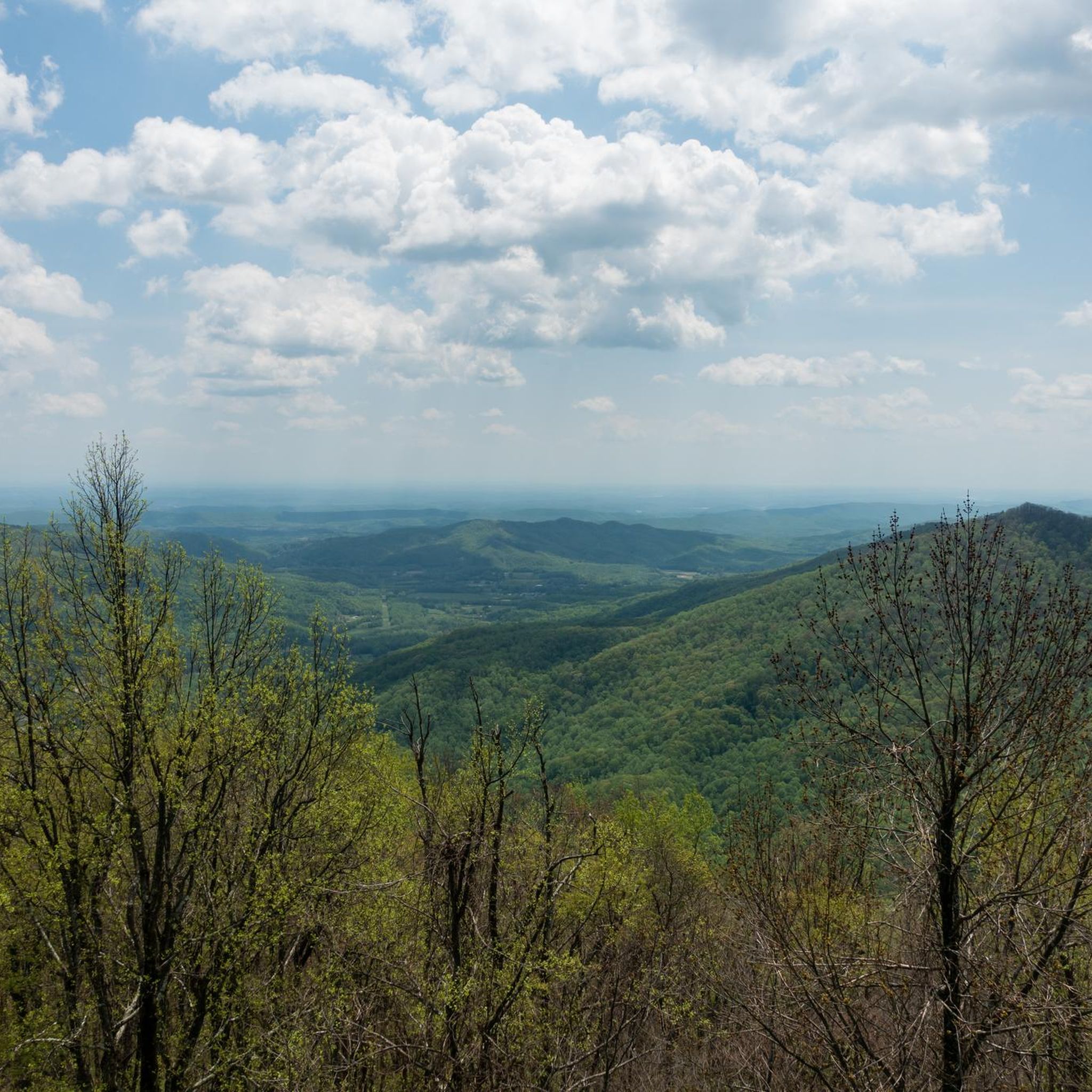
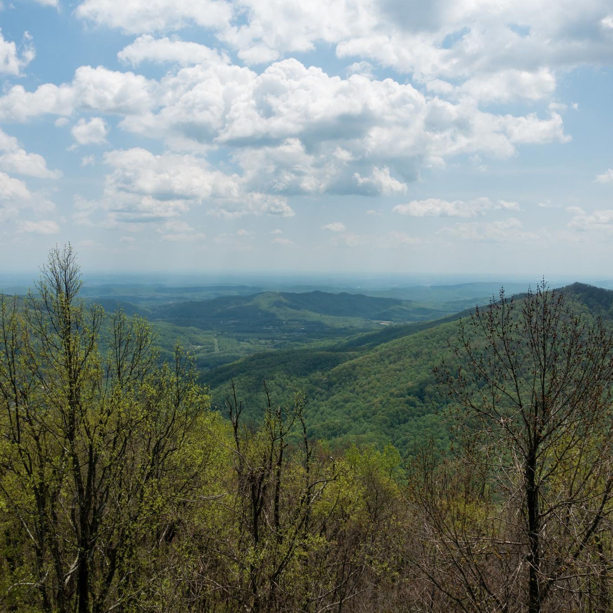
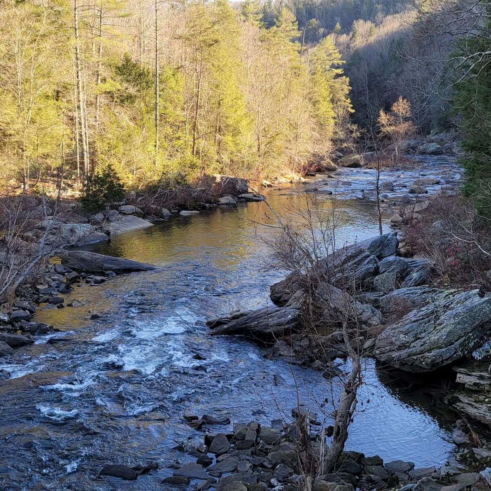
Tips from the Community

The Emory River flows just over 46 miles from the slopes of Fork Mountain to the Clinch River. The river is a destination for whitewater rafters and paddlers.
0
0
Clear Creek is a main tributary to the Obed River, both designated as a National Wild and Scenic River and maintained by the National Park Service. The area offers plenty of recreational opportunities, such as whitewater paddling, fishing, and rock climbing on the park's sandstone bluffs.
0
0

Also known as "Wheat Church," this historic church, founded in 1854, served dual purposes as a religious facility and a community gathering place. The current building, dating back to 1901, was named after the local reverend who donated the land to the church. It's a nice little piece of history along the way.
0
0
Frequently Asked Questions
What kind of terrain can I expect on road cycling routes in Morgan County?
Road cycling in Morgan County features a diverse landscape with significant elevation changes. You'll encounter rolling hills, challenging ascents, and descents, often winding through forested areas, rivers, creeks, and reservoirs. The routes offer varied experiences, from moderate paths to difficult climbs.
Are there any easy road cycling routes for beginners in Morgan County?
While many routes in Morgan County feature significant elevation changes, there are options suitable for various fitness levels. For example, the Roadbike loop from Horizon Center is a moderate 29-mile (46.7 km) route that offers a good balance of challenge and accessibility. The region also offers routes with less elevation gain, such as the 'Morgan, Peterson, and Porterville Loop' mentioned in the regional research for Morgan County, Utah, which is an easier 25-mile loop.
Which road cycling routes offer a significant challenge for experienced cyclists?
For experienced cyclists seeking a challenge, Morgan County offers several difficult routes. The Brushy Mountain Reservoir loop from Student Parking is a demanding 68.8-mile (110.8 km) trail with over 1,300 meters of elevation gain. Another challenging option is the Brushy Mountain Reservoir loop from Rocky Top, which covers 69.4 miles (111.6 km) with over 1,200 meters of ascent.
What are some scenic viewpoints or natural features to look out for on road cycling routes?
Morgan County's road cycling routes offer views of rivers, creeks, and reservoirs. You can also explore natural landmarks such as Chimney Top Mountain and Tub Springs. For panoramic views, consider routes that pass near Frozen Head Lookout Tower or through areas like Panther Gap.
Are there any long-distance road cycling routes in Morgan County?
Yes, Morgan County features several longer road cycling routes. The Brushy Mountain Reservoir loop from Student Parking is approximately 68.8 miles (110.8 km) long, and the Brushy Mountain Reservoir loop from Rocky Top extends to about 69.4 miles (111.6 km). These routes are ideal for cyclists looking for extended rides.
What is the best time of year for road cycling in Morgan County?
The best time for road cycling in Morgan County generally aligns with pleasant weather conditions, typically spring through fall. During these seasons, you can enjoy the vibrant green valleys and forested areas. Winter cycling might be possible, but conditions can vary, especially with higher elevations and potential for snow or ice.
Are there any family-friendly road cycling options in Morgan County?
While many road cycling routes in Morgan County involve significant elevation, some areas offer more family-friendly options. For instance, in Morgan County, Indiana, the 'Morgan-Monroe Hike-Bike Trail' is a paved 5-mile path, and the 'White River Greenway Trail' is a fully paved, ADA accessible 4-mile out-and-back route, both suitable for families. Always check route details for specific difficulty and terrain to ensure it matches your family's capabilities.
Are there any circular road cycling routes in Morgan County?
Yes, many of the road cycling routes in Morgan County are designed as loops, allowing you to start and end at the same point. Examples include the Emory River loop, the Clear Creek loop, and the Watts Bar Lake loop from Kingston. These loops provide convenient cycling experiences without needing to retrace your path.
What is the typical elevation gain on road cycling routes in Morgan County?
Road cycling routes in Morgan County are characterized by significant elevation changes. Moderate routes like the Emory River loop can have around 460 meters of ascent, while more difficult routes such as the Brushy Mountain Reservoir loop from Student Parking can feature over 1,300 meters of elevation gain.
Are there any specific road networks or scenic drives recommended for cyclists?
In Morgan County, Utah, routes like Morgan Valley Drive, Old Highway, and SR-66 are known for connecting points of interest and offering improved safety for cyclists, sometimes with shoulder bikeways. These roads often incorporate scenic views, such as those leading to East Canyon Reservoir. Always be mindful of traffic and road conditions.
What do other road cyclists say about their experience in Morgan County?
The road cycling routes in Morgan County are highly regarded by the komoot community. Over 19 road cyclists have used komoot to explore the varied terrain, often praising the scenic river views, challenging ascents, and the natural landscapes encountered along routes like the Emory River loop and Clear Creek loop.
Most popular routes in Morgan County
Most popular attractions in Morgan County

Get inspired with the komoot mobile app


Didn’t find what you were looking for?
Check out more Road cycling routes throughout Morgan County below and find the perfect route in your destination.
Explore more
Browse the best Road cycling routes in other regions.
