The best walks and hikes in Polk County
5.0
(1)
35
hikers
12
hikes
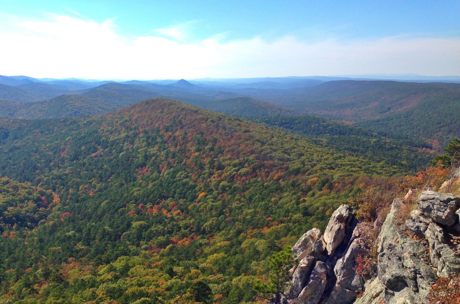
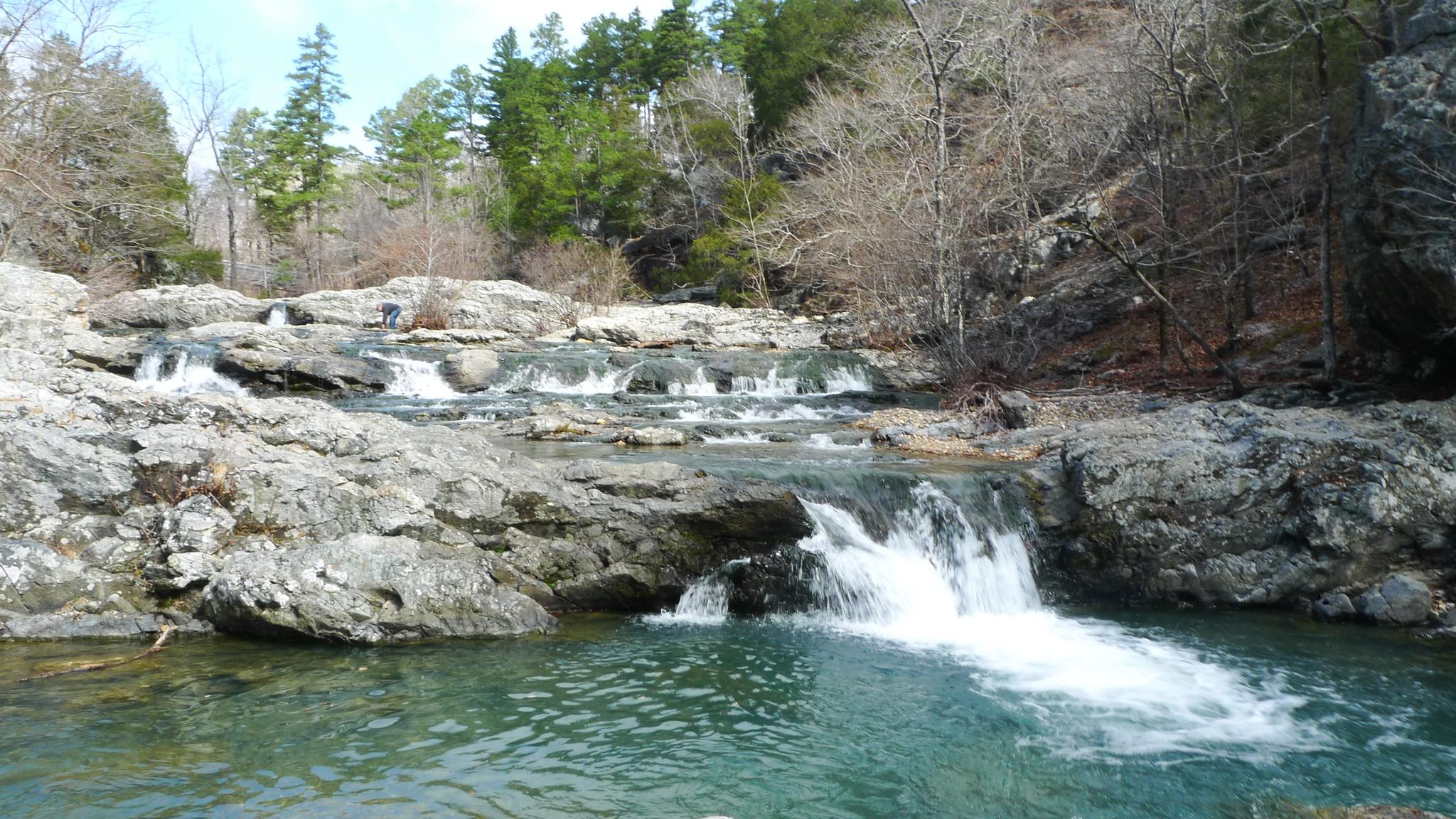
Hiking in Polk County is characterized by the rugged terrain of the Ouachita National Forest. The region features forested mountains, river valleys, and numerous creek crossings. Trails navigate through hardwood and pine forests, with significant elevation changes across the landscape. The network of routes provides options for both moderate day hikes and more demanding multi-hour treks.
Best hiking trails in Polk County
- The most popular hiking route is Buckeye and Caney Creek Loop Trail, a 9.5 miles (15.2 km)…
Last updated: September 27, 2026
4
hikers
6.62km
01:47
60m
120m
Easy hike. Great for any fitness level. Easily-accessible paths. Suitable for all skill levels.
2.52km
00:45
80m
80m
Easy hike. Great for any fitness level. Easily-accessible paths. Suitable for all skill levels.

1.60km
00:33
130m
0m
Easy hike. Great for any fitness level. Easily-accessible paths. Suitable for all skill levels.
6.73km
01:50
100m
100m
Easy hike. Great for any fitness level. Easily-accessible paths. Suitable for all skill levels.
854m
00:15
0m
60m
Easy hike. Great for any fitness level. Easily-accessible paths. Suitable for all skill levels.
107km
30:28
2,270m
2,640m
Hard hike. Very good fitness required. Easily-accessible paths. Suitable for all skill levels.
2
hikers
15.2km
04:27
410m
420m
Moderate hike. Good fitness required. Easily-accessible paths. Suitable for all skill levels.
1
hikers
14.8km
04:21
410m
410m
Moderate hike. Good fitness required. Easily-accessible paths. Suitable for all skill levels.
1
hikers
13.9km
04:34
280m
280m
Moderate hike. Good fitness required. Mostly accessible paths. Sure-footedness required.
1
hikers
17.0km
04:55
440m
440m
Moderate hike. Good fitness required. Easily-accessible paths. Suitable for all skill levels.
Get access to more routes and recommendations from other explorers.
Already have an account?
Our route recommendations are based on thousands of hikes, rides, and runs completed by other people on komoot.
Start today with a free account
Your next adventure awaits.


Tips from the Community

Queen Wilhelmina State Park offers some of the most breathtaking views in the state from its fully renovated lodge. Known as the original “Castle in the Sky,” originally built in 1898, the lodge is situated on the 2,681-foot Rich Mountain—Arkansas' second highest peak. The original lodge was built in the late 1800s as a Victorian resort named Wilhelmina Inn to honor the young Queen of the Netherlands, after Dutch investors helped fund the construction of the railroad system. The park includes 41 campsites, including five tent sites with water, one hike-in tent site, picnic areas, and several short hiking trails, and the lodge features 40 rooms, a restaurant featuring Southern cuisine, and a gift shop. Dogs are welcome except in the restaurant and the large hearth room.
0
0
This state line location includes a historic boundary marker established in 1877 after a series of contentious surveys aimed at defining the border between Arkansas and what was then called Indian Territory. The inscription on its north face reads “48 M,” for the 48th mile, “1877” on the south face for the year the marker was installed, “ARK” for Arkansas on the east face, and “CHOC” for Choctaw Territory on the west. In 1976, the marker was listed on the National Register of Historic Places, making it one of the few remaining markers from this survey accessible to the public.
0
0
This trailhead for the Ouachita National Recreation Trail is a scenic crossing point over the Talimena Scenic Byway for thru hikers, and a starting point for hikers to explore other trails in the area. There is a small trailhead sign, but no parking. However, there is a parking area a short distance away at the Deadman Vista Overlook. Due to the limited availability of water sources in the area, especially during dry seasons, it is an ideal spot to store water for the upcoming few miles until you reach Cedar Branch or Horsethief Spring.
0
0

One of the more prominent peaks in the Ouachita National Forest as it is one of the highest points in the state, reaching an elevation of about 2,910 feet. From the summit and along the ridge the trail follows there arre scenic views in all directions.
0
0
A prominent feature along the Eagle Rock Loop Trail with picturesque views over the diverse landscape of dense forests and rocky terrain in the Ouachitas.
1
0
The Black Fork Mountain Shelter is a backcountry shelter located off of the Ouachita Recreation Trail. It serves as a resting point and a basic shelter for hikers to spend the night during their trek. The rugged and steep Black Fork Mountain Trail continues up from the shelter to the namesake summit.
0
0

Scenic 25-acre lake in a remote mountain setting. The Civilian Conservation Corps developed the Shady Lake Recreation Area in 1937. The Shady Lake Trail traverses Saline Creek and passes the historic Shady Lake Dam. It continues along the eastern edge of the campground. The trail is ideal for day hiking. Mountain bikers may also use the trail.
2
0
The Tall Peak Fire Tower is a historic fire tower in the Ouachita National Forest. It is located at the top of Tall Peak in the southwestern part of the national forest in Polk County, Arkansas. It is a fieldstone structure built about 1938 by a crew of the Civilian Conservation Corps (CCC), and features the distinctive flared corners that typify CCC architecture. It is accessible via a forest service road off Polk County 64 ( also known as forest service road 38).
2
0
Frequently Asked Questions
Which Polk County is this guide about?
This guide focuses on Polk County, Arkansas, featuring hikes within the rugged and beautiful Ouachita National Forest. It does not cover other counties named Polk in states like Florida or North Carolina.
Are there any easy hikes for beginners in this area?
The terrain in Polk County is generally challenging, characterized by significant elevation changes within the Ouachita National Forest. Most trails are rated as moderate or difficult. Beginners should prepare for uneven paths, creek crossings, and steep sections.
What is the terrain like on the trails in Polk County?
Expect a rugged experience. The trails navigate through the forested mountains of the Ouachita National Forest, featuring a mix of hardwood and pine woods. Key characteristics include numerous creek crossings, which can be challenging in high water, and significant, sustained climbs over the region's ridges.
Are there any circular or loop trails available?
Yes, there are several excellent loop trails. For a challenging, full-day trek with multiple water crossings, the Long Creek Crossing – Brush Heap Mountain Junction loop covers over 14 miles and significant elevation. It's a demanding but rewarding route through the forest.
What is the longest hiking trail in this guide?
The most demanding long-distance hike in this collection is the Eagle Rock Trail to Winding Stairs loop. At over 13 miles, this difficult trail involves sustained climbs and several water crossings, making it suitable for experienced hikers looking for a strenuous adventure.
Are the trails suitable for families with children?
Due to the rugged terrain, frequent creek crossings, and significant elevation gain, most trails in this guide are better suited for experienced hikers rather than young children. The moderate and difficult routes require stamina and careful footing.
Can I bring my dog on these hiking trails?
Dogs are generally permitted in the Ouachita National Forest, but they must be kept on a leash and under your control at all times. Be aware that the rugged terrain and numerous water crossings may be challenging for some dogs. Always carry enough water for both you and your pet.
What kind of wildlife might I see in the Ouachita National Forest?
The Ouachita National Forest is home to a variety of wildlife. While hiking, you might encounter white-tailed deer, squirrels, and a wide array of bird species. Black bears also inhabit the forest, so it's important to be bear-aware by storing food properly and making noise while you hike.
Are there any trails with waterfalls?
Yes, water features are a highlight of the region. The Eagle Rock — Little Missouri Falls Trails loop is a popular choice that leads you to the beautiful Little Missouri Falls, offering a scenic reward for your efforts.
What should I pack for a day hike in Polk County?
For a day hike here, sturdy, waterproof hiking boots are essential due to the uneven terrain and creek crossings. You should also bring:
- Plenty of water and snacks
- A map and compass or GPS device, as cell service can be unreliable
- Rain gear, as weather can change quickly in the mountains
- Insect repellent
- A small first-aid kit
Are there any trails that lead to a high viewpoint?
Yes, if you're looking for a rewarding view, consider the Caney Creek Tall Peak Tower Trail. This moderate hike includes a significant climb that leads you toward the Tall Peak tower area, providing expansive views over the surrounding forest landscape.
How difficult are the water crossings on these trails?
Water crossings are a common feature and their difficulty can vary greatly depending on recent rainfall. During dry periods, they may be simple rock-hops, but after heavy rain, creeks can become swollen and fast-moving, requiring caution. Always check weather conditions before you go and be prepared to turn back if a crossing appears unsafe.
Most popular routes in Polk County
Most popular attractions in Polk County

Get inspired with the komoot mobile app


Didn’t find what you were looking for?
Check out more Hikes throughout Polk County below and find the perfect route in your destination.
Explore more
Browse the best Hikes in other regions.
