The best road cycling routes in Franklin County
4.8
(16)
1,009
riders
26
rides
Road cycling in Franklin County offers diverse landscapes, characterized by rural roads, scenic river valleys, and rolling hills. The region features classic New England scenery, including farmlands and historic architecture, providing varied terrain for cyclists. Routes often follow meandering streams and offer views of natural features, with options ranging from gentle rides to more challenging ascents.
Best road cycling routes in Franklin County
- The most popular road cycling route is Missisquoi River – Jay Peak Pass loop from Franklin,…
Last updated: November 11, 2026
4.5
(2)
173
riders
117km
05:54
1,750m
1,750m
Hard road ride. Very good fitness required. Some segments of this route may be unpaved and difficult to ride.
34
riders
65.2km
03:26
1,010m
1,010m
Hard road ride. Very good fitness required. Mostly well-paved surfaces and easy to ride.

25
riders
56.4km
03:04
530m
530m
Moderate road ride. Good fitness required. Some segments of this route may be unpaved and difficult to ride.
5.0
(1)
37
riders
26.9km
01:20
360m
360m
Moderate road ride. Good fitness required. Some segments of this route may be unpaved and difficult to ride.
19
riders
127km
05:56
1,460m
1,460m
Hard road ride. Very good fitness required. Some segments of this route may be unpaved and difficult to ride.
5.0
(1)
6
riders
Moderate road ride. Good fitness required. Some segments of this route may be unpaved and difficult to ride.
4.0
(1)
10
riders
45.9km
01:57
370m
370m
Moderate road ride. Good fitness required. Some segments of this route may be unpaved and difficult to ride.
11
riders
81.4km
03:36
760m
760m
Moderate road ride. Good fitness required. Mostly well-paved surfaces and easy to ride.
8
riders
Moderate road ride. Good fitness required. Some segments of this route may be unpaved and difficult to ride.
9
riders
145km
06:45
1,780m
1,780m
Hard road ride. Very good fitness required. Some segments of this route may be unpaved and difficult to ride.
Get access to more routes and recommendations from other explorers.
Already have an account?
Our route recommendations are based on thousands of hikes, rides, and runs completed by other people on komoot.
Start today with a free account
Your next adventure awaits.
Popular around Franklin County
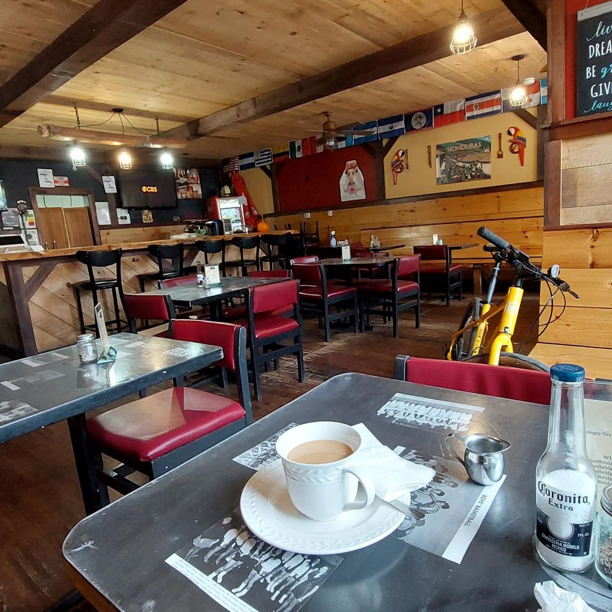
Road Cycling Routes around Enosburg Falls
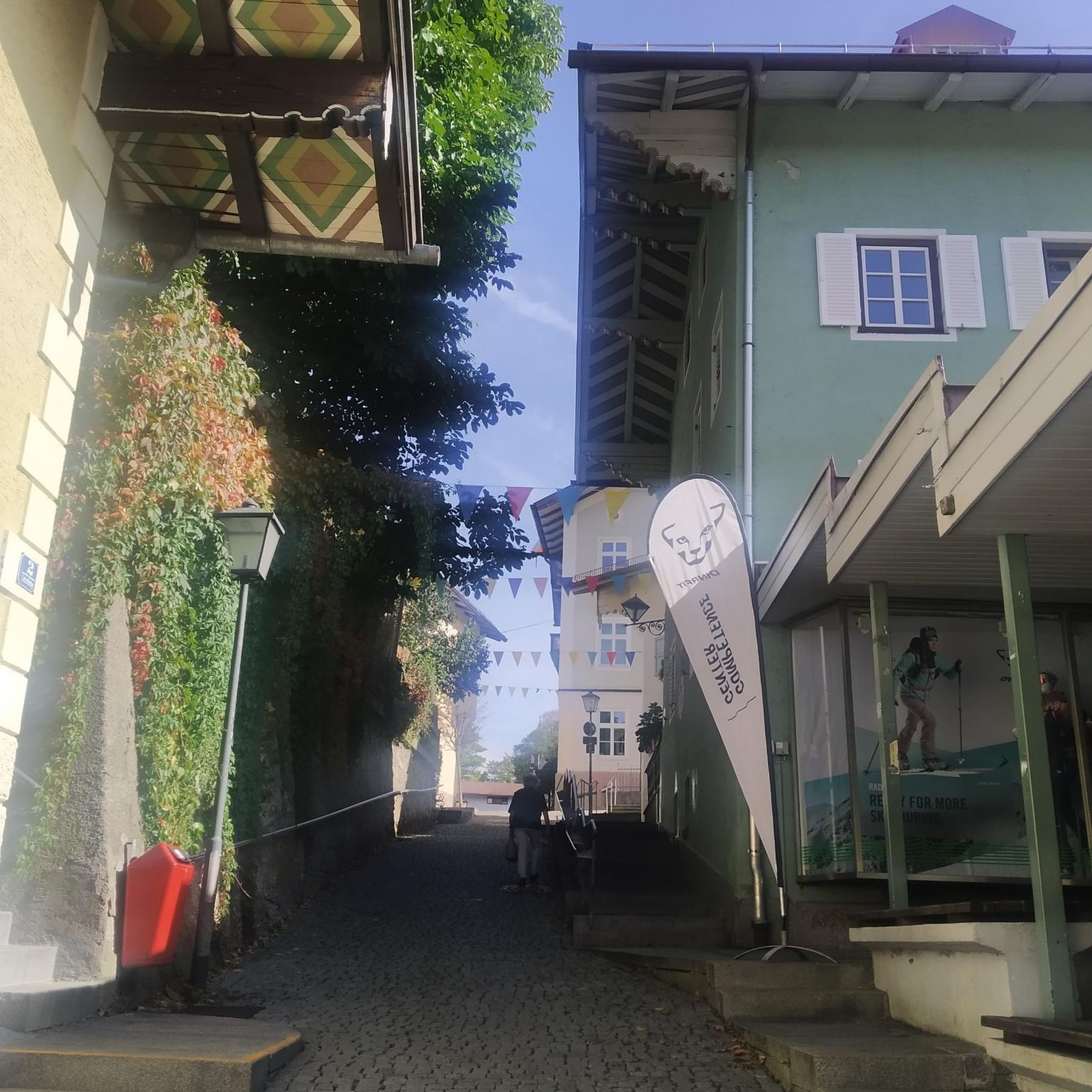
Road Cycling Routes in Lake Carmi State Park
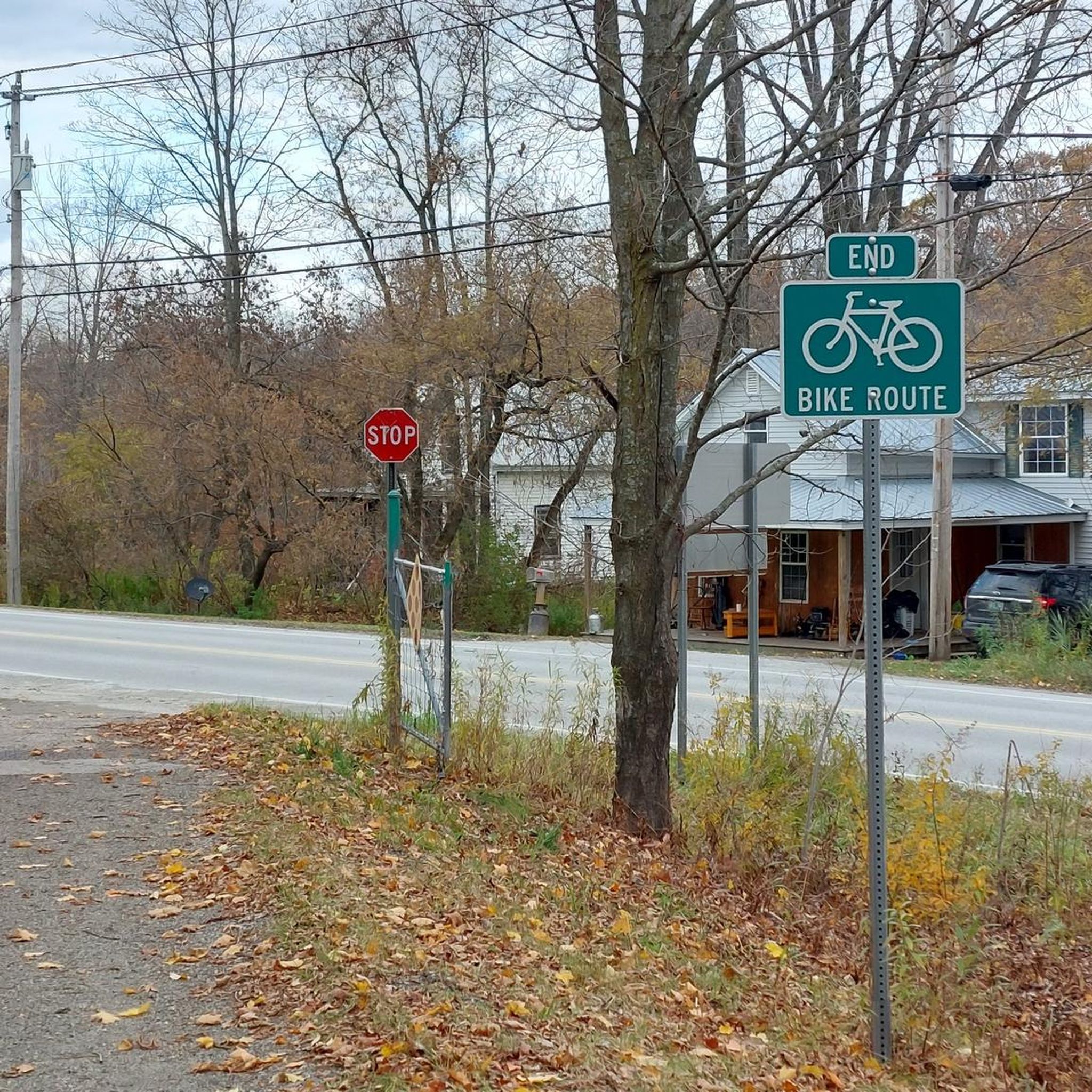
Road Cycling Routes around Richford

Road Cycling Routes around Bakersfield

Road Cycling Routes around Fairfax
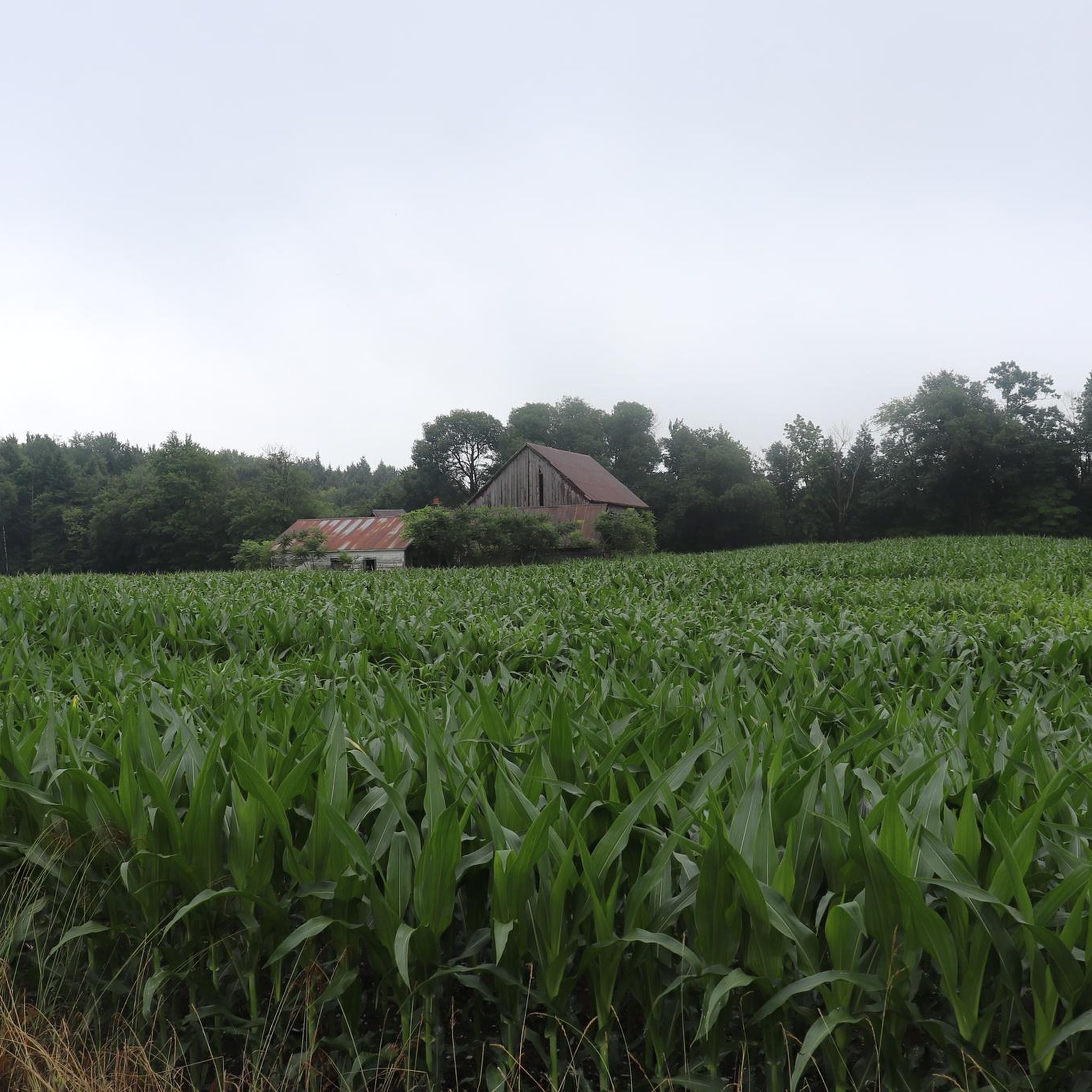
Road Cycling Routes around Highgate Center

Road Cycling Routes around St. Albans
Hiking in Franklin County

Gravel biking in Franklin County
Cycling in Franklin County
Tips from the Community

Be sure to stop in and treat yourself to freshly baked cookies, and other wonderful treats. The molasses cookies were perfect to eat while riding.
0
0

Great way to get up the Notch and avoid most of Route 107
0
0


The Stowe Recreation Path is a 5.3 mile fully paved trail from Stowe Village to Top Notch Resort. It is a beautiful path to walk that is free from car traffic.
0
0

passerelle is closed for undetermined time. choose the regular bridge instead to cross.
0
0

The Grist Mill Covered Bridge, which is also known as the Scott Covered Bridge, the Bryant Covered Bridge, or the Canyon Covered Bridge, spans the Brewster River near the beautiful Brewster River Gorge and falls. This bridge is one of a small number of surviving Burr arch truss bridges in the state and was built in the 19th century. In 1974 it was listed on the National Register of Historic Places. There is a nice overlook for the Brewster Falls not far from here, down a short trail if you wanted to leave your bikes and go on a short walk.
0
0
Lintilhac Park is a lovely little park behind the Stowe Community Church and is a common access point for the southern end of the Stowe Recreation Path, just north of Main Street, Stowe. The Stowe Recreation Path is a popular, scenic, 5.3-mile paved trail that is open for bikers and walkers, and is groomed in the winter for cross-country skiers. This fantastic trail crosses Little River several times via wooden bridges, has multiple spots for swimming, and offers direct access to many restaurants and shops in Stowe. There is a bike repair station at Lintilhac Park for those who might need it, in addition to parking for the Recreation Path.
0
0
From the main parking area, you must walk back on the road and through the Grist Mill Covered Bridge. Also known as the Scott Covered Bridge, the Bryant Covered Bridge,or the Canyon Covered Bridge, this bridge is one of a small number of surviving Burr arch truss bridges in the state and was built in the 19th century. In 1974 it was listed on the National Register of Historic Places.
0
0
Frequently Asked Questions
How many road cycling routes are available in Franklin County?
You'll find over 20 road cycling routes in Franklin County, catering to various skill levels. These routes traverse diverse landscapes, from river valleys to rolling hills.
Are there road cycling routes suitable for beginners or families in Franklin County?
Yes, Franklin County offers several easier routes perfect for beginners or family outings. There are 4 easy routes and 13 moderate routes available, providing options for less experienced cyclists to enjoy the scenic farmlands and quiet roads.
What kind of scenery can I expect while road cycling in Franklin County?
Road cycling in Franklin County offers classic New England landscapes, featuring rural roads, farmlands, and meandering streams. You'll encounter historic architecture, river valleys, and rolling hills. Some routes, like the East Fairfield Covered Bridge loop from West Fletcher, even pass by charming covered bridges.
Are there any long-distance or challenging road cycling routes in Franklin County?
Yes, for experienced cyclists seeking a challenge, Franklin County offers several difficult, long-distance routes. The Missisquoi River – Jay Peak Pass loop from Franklin is a difficult 72.4-mile route with significant elevation gain, taking nearly 6 hours to complete. Another challenging option is the Route 105 Pass – Missisquoi River loop from Our Lady of the Meadows & Ave Maria Home, which covers 40 miles with over 3,000 feet of elevation.
What are some notable landmarks or natural features to see along the road cycling routes?
Many routes in Franklin County pass by interesting landmarks and natural features. You might cycle past the Missisquoi River Bridge at Sheldon Junction, or the historic Comstock Covered Bridge. The Missisquoi River itself is a prominent natural feature, with many routes following its course, such as the Missisquoi River loop from Richford.
Are there any loop routes available for road cycling in Franklin County?
Yes, many road cycling routes in Franklin County are designed as loops, offering convenient starting and ending points. Examples include the Lake Carmi State Park loop from Franklin and the Vignoble Val Caudalies – Brasserie Dunham loop from West Berkshire.
What do other cyclists say about road cycling in Franklin County?
The road cycling routes in Franklin County are highly rated by the komoot community, with an average score of 4.8 stars from over 11 reviews. Cyclists often praise the varied terrain, scenic river valleys, and the opportunity to explore charming farmlands and historic areas.
Are there any routes that connect to larger trail systems?
Yes, Franklin County offers connections to larger trail systems. For instance, the Missisquoi Valley Rail Trail and the Lamoille Valley Rail Trail: Swanton to Sheldon Junction provide additional cycling opportunities, often on non-motorized paths.
What is the best time of year for road cycling in Franklin County?
The best time for road cycling in Franklin County is typically from spring through fall. The region is particularly stunning during autumn when the New England foliage displays vibrant colors. Summer offers warm weather, while spring provides cooler temperatures and blooming landscapes. Always check local weather conditions before heading out.
Where can I find parking for road cycling routes in Franklin County?
Parking availability varies by route. Many routes start from towns or designated access areas, where parking is often available. For example, the Farnham Nature Park Pavilion – Brasserie Dunham loop from Lake Carmi Access Area suggests a starting point with potential parking. It's advisable to check the specific route details on komoot for recommended parking locations.
Are there any routes that pass by waterfalls or other unique natural features?
While specific waterfalls are not highlighted on every route, the region's diverse geography includes river valleys and rolling hills, which often feature smaller cascades or scenic river views. The Fairfax Falls loop from Fletcher specifically mentions Fairfax Falls, offering a chance to see this natural feature.
Most popular routes in Franklin County
Most popular attractions in Franklin County

Get inspired with the komoot mobile app


Didn’t find what you were looking for?
Check out more Road cycling routes throughout Franklin County below and find the perfect route in your destination.
Explore more
Browse the best Road cycling routes in other regions.
