The best cycling routes in Salem city
4.5
(13)
273
riders
27
rides
Touring cycling in Salem city offers routes that traverse a landscape characterized by river greenways, rolling hills, and access to larger mountain features. The region includes sections of the Roanoke River Greenway and routes that approach Poor Mountain and Mill Mountain. This area provides varied terrain for touring cyclists, from riverside paths to more challenging ascents.
Best touring cycling routes in Salem city
- The most popular touring cycling route is Poor Mountain loop, a 23.7 miles (38.1 km) trail…
Last updated: July 8, 2026
7
riders
38.1km
02:46
810m
810m
Hard bike ride. Very good fitness required. Mostly paved surfaces. Suitable for all skill levels.
1
riders
29.6km
01:50
300m
300m
Moderate bike ride. Good fitness required. Mostly paved surfaces. Suitable for all skill levels.

Sign up for free
45
riders
105km
06:47
1,350m
1,350m
Hard bike ride. Very good fitness required. Mostly paved surfaces. Suitable for all skill levels.
5.0
(3)
43
riders
27.7km
01:38
150m
150m
Easy bike ride. Great for any fitness level. Mostly paved surfaces. Suitable for all skill levels.
5.0
(3)
26
riders
Moderate bike ride. Good fitness required. Mostly paved surfaces. Suitable for all skill levels.
4.0
(1)
16
riders
29.0km
01:49
250m
250m
Moderate bike ride. Good fitness required. Mostly paved surfaces. Suitable for all skill levels.
14
riders
47.0km
03:14
800m
800m
Hard bike ride. Very good fitness required. Mostly paved surfaces. Suitable for all skill levels.
13
riders
19.1km
01:28
290m
290m
Hard bike ride. Good fitness required. You may need to push your bike for some segments of this route.
4.5
(2)
26
riders
27.3km
01:37
160m
160m
Moderate bike ride. Good fitness required. Mostly paved surfaces. Suitable for all skill levels.
4.0
(1)
10
riders
40.6km
02:36
490m
490m
Hard bike ride. Very good fitness required. Mostly paved surfaces. Suitable for all skill levels.
Get access to more routes and recommendations from other explorers.
Sign up for free
Already have an account?
Our route recommendations are based on thousands of hikes, rides, and runs completed by other people on komoot.
Start today with a free account
Your next adventure awaits.
Login or Signup
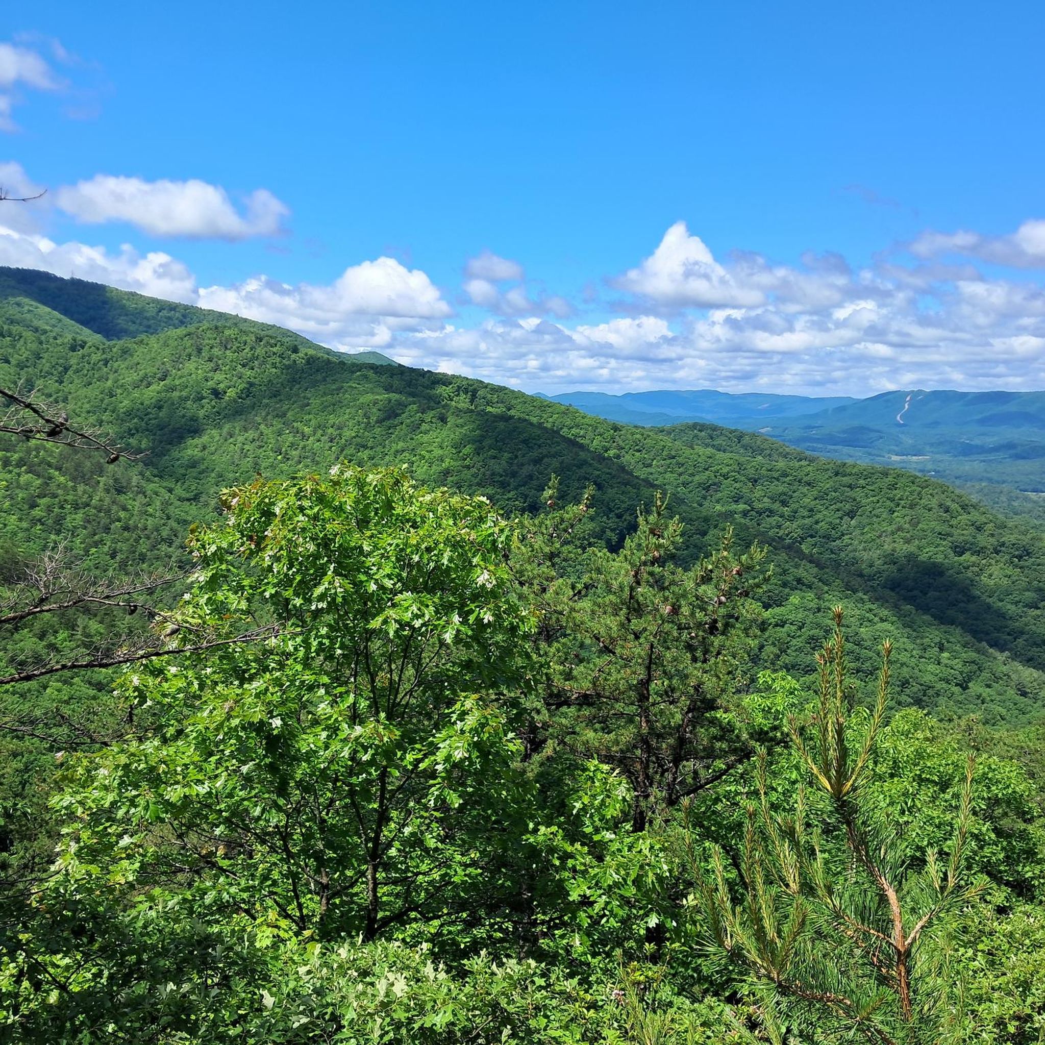
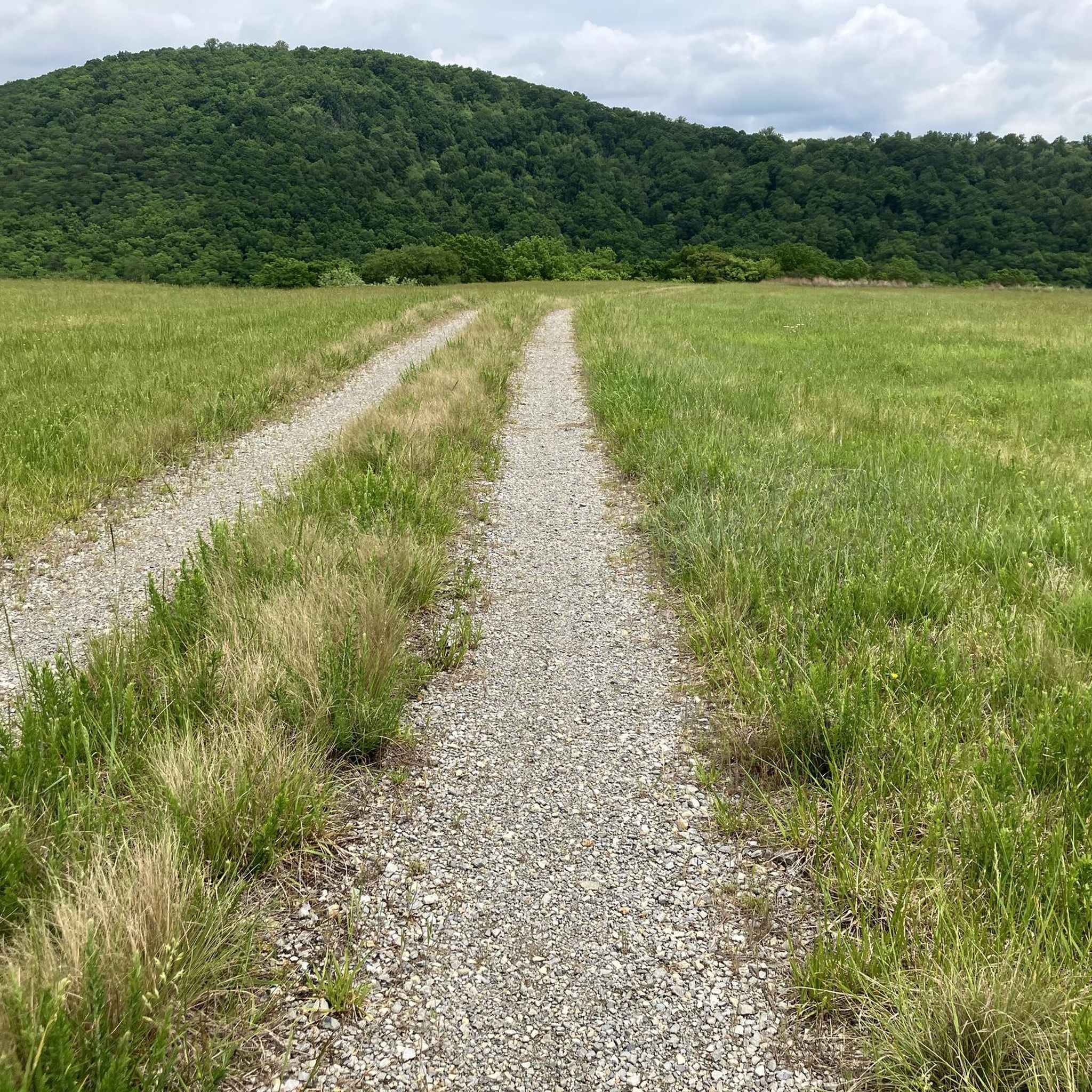
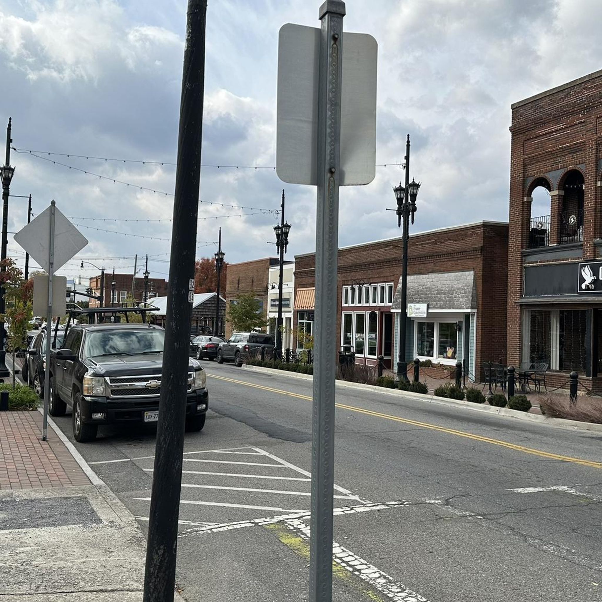
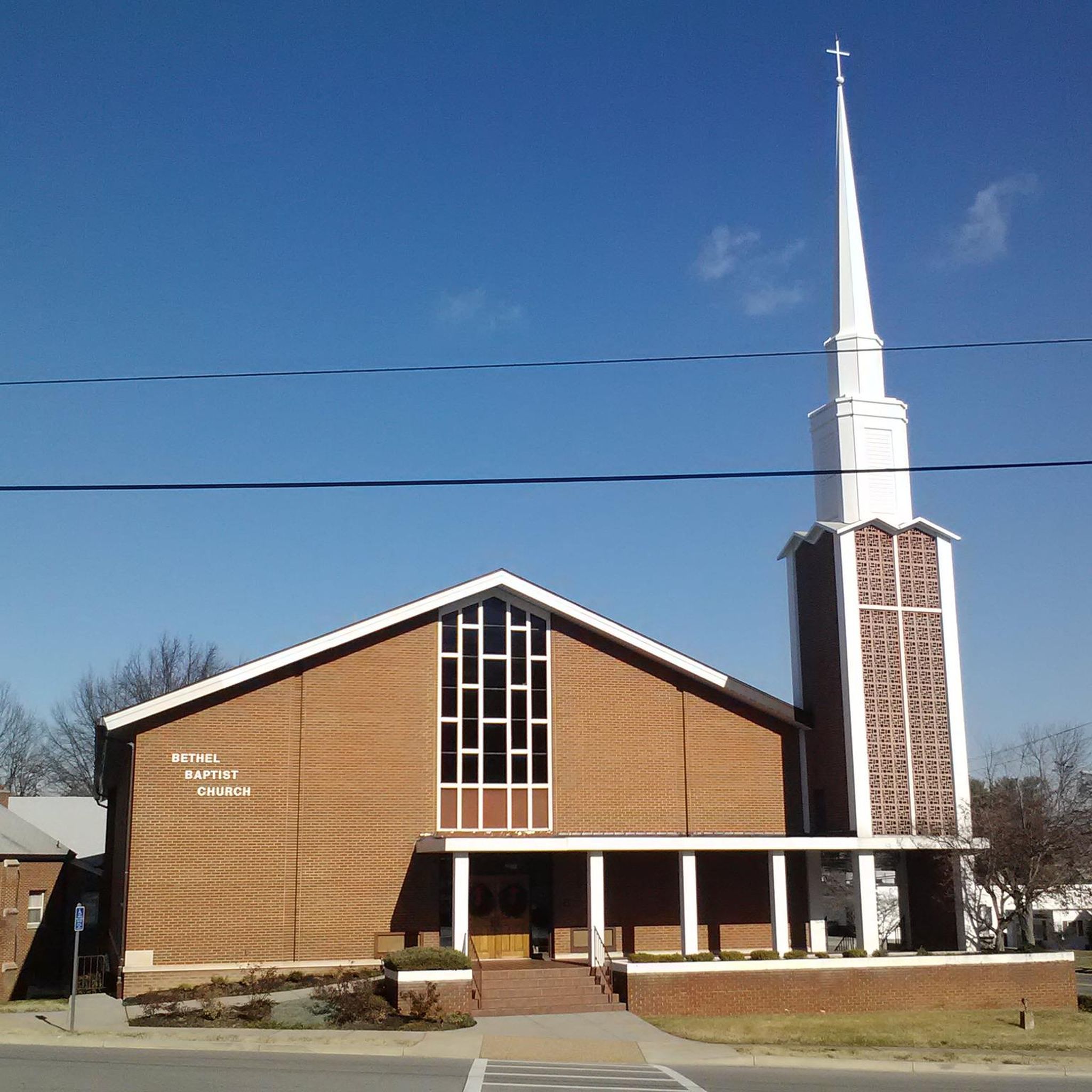
Tips from the Community

Parking area at the bottom is closed (Near Dollar General). We parked across the street and walked the gravel up to Star Trail Trailhead.
0
0


If you need it, it's here. Part of Explore Park.
0
0

The Mills Gap Overlook is a short detour off of the Appalachian Trail, but it is definitely worth getting off the trail and stopping to enjoy the view. The viewpoint is also right where the Blue Ridge Parkway intersects with the trail, so there is a good chance you will see others enjoying this spot.
0
0

The Memorial Bridge of Roanoke supports the Roanoke River Greenway and has wide sidewalks on both sides of the car lanes that bikes use. The bridge has two-lane traffic and spans 785 feet across the Roanoke River. While riding here, pay attention and find all five plaques, with quotes from Patrick Henry, Theodore Roosevelt, Stonewall Jackson, and Thomas Jefferson. The last plaque has the names of World War I victims.
0
0

The greenway is an easily accessible multi-use trail that runs along the Roanoke River. There are multiple points of access and a number of nice parks along its route. It can get busy with cyclists, walkers, and runners though so be aware of your fellow trail users.
0
0
Wasena Park is a green space along the Roanoke River. The Roanoke River Greenway bike-friendly path runs through the park, and the park offers a playground, two picnic shelters, the Roanoke Skate Park, a baseball diamond, a basketball court, ADA-accessible picnic shelters with tables, lights at night, electrical outlets, and grills, as well as ADA-accessible restrooms.
0
0
The Taubman Museum of Art began as a temporary exhibit at the Hotel Roanoke in 1947. The current 81,000 square foot museum was designed by famed architect Randall Stout. The museum houses both a permanent collection and rotating exhibitions throughout the year. The best part...general admission is free!
0
0
Frequently Asked Questions
How many touring cycling routes are available in Salem city?
Salem city offers a diverse network of over 30 touring cycling routes. These routes traverse river greenways, park trails, and provide views of the surrounding hills and mountains, catering to various skill levels.
What is the best time of year for touring cycling in Salem?
The best time for touring cycling in Salem is generally during the spring and fall months when the weather is mild and comfortable. Summer can also be pleasant, especially along the shaded greenways, but be prepared for warmer temperatures. Winter rides are possible, but conditions can be wet and cooler.
Are there easy touring cycling routes suitable for beginners in Salem?
Yes, Salem has several easy touring cycling routes perfect for beginners. For example, the Roanoke River Greenway – Wasena Park loop from Roanoke is an easy option, covering 13.1 miles (21.1 km) with minimal elevation gain, making it ideal for a relaxed ride along the river.
Are there challenging touring cycling routes in Salem for experienced cyclists?
Absolutely. Experienced cyclists looking for a challenge can tackle routes with significant elevation gain. The Poor Mountain loop is a difficult 23.7 miles (38.1 km) route that features over 2,600 feet (800 m) of climbing through a mountainous area. Another demanding option is the Lots of viewpoints along the Blue Ridge Parkway – Memorial Bridge loop from Roanoke-Blacksburg Regional Airport, which is over 65 miles (105 km) long with substantial ascents.
Can I find touring cycling routes with scenic viewpoints in Salem?
Yes, many routes in and around Salem offer scenic viewpoints, especially those that venture into the higher elevations. The Roanoke River Greenway – Roanoke Star on Mill Mountain loop from Roanoke provides stunning views from Mill Mountain, including the iconic Roanoke Star. The longer Lots of viewpoints along the Blue Ridge Parkway – Memorial Bridge loop from Roanoke-Blacksburg Regional Airport is also designed to showcase numerous scenic vistas.
Are there any loop touring cycling routes in Salem?
Salem features several excellent loop routes for touring cyclists. Popular options include the Roanoke Greenways Loop, which is a moderate 18.4 miles (29.6 km) path following the greenways, and the Wasena Park – Roanoke River Greenway loop from Salem, a longer 35.0 miles (56.3 km) ride through river greenways and park areas.
Are there family-friendly touring cycling routes in Salem?
For families, the flatter sections of the Roanoke River Greenway are ideal. Routes like the Wasena Park – Roanoke River Greenway loop from West End offer an easy 17.2 miles (27.7 km) ride with minimal elevation, providing a safe and enjoyable experience for all ages along the river.
What do other touring cyclists say about the routes in Salem?
The touring cycling routes in Salem are highly rated by the komoot community, with an average score of 4.7 stars from more than 10 reviews. Cyclists often praise the varied terrain, from peaceful river greenways to challenging mountain ascents, and the well-maintained paths that offer a mix of urban and natural scenery.
Are there touring cycling routes in Salem that pass by coffee shops or places to refuel?
Many routes in Salem, especially those that traverse the Roanoke Greenways and pass through urban areas, will bring you close to amenities like coffee shops and eateries. The Roanoke Star on Mill Mountain – Roanoke City Market loop from Roanoke, for instance, connects a scenic climb with the vibrant Roanoke City Market area, where you'll find plenty of options to refuel.
What should I pack for a touring cycling trip in Salem?
For touring cycling in Salem, it's advisable to pack layers of clothing suitable for varying weather conditions, especially if you plan to tackle routes with elevation changes. Essential items include a helmet, water bottles, snacks, a basic repair kit, and navigation tools. Sunscreen and insect repellent are also recommended, particularly during warmer months or when riding along the greenways.
Are there less crowded touring cycling routes near Salem?
While the main greenways can be popular, you can find less crowded experiences by exploring routes that venture further into the surrounding natural areas or by riding during off-peak hours. The Roanoke loop from Roanoke offers a moderate 17.4 miles (27.9 km) ride that provides a good balance of scenery and potentially fewer crowds compared to central greenway sections.
Most popular routes in Salem city

Get inspired with the komoot mobile app


Explore more
Browse the best Cycling routes in other regions.
