The best running trails in Saguache County
147
runners
25
runs
Jogging in Saguache County offers diverse terrain within Colorado's San Luis Valley, framed by the San Juan and Sangre de Cristo Mountains. The region features unique landscapes, including parts of the Great Sand Dunes National Park and Preserve, known for its challenging sand dunes and surrounding sand sheet. Runners can explore varied environments from alpine tundra and subalpine forests to volcanic areas and extensive gravel roads. The Rio Grande National Forest also provides numerous trails for outdoor activities.
Best jogging…
Last updated: August 31, 2026
7
runners
19.6km
02:42
1,160m
1,160m
Embark on the Venable-Comanche Trail loop, a difficult jogging route spanning 12.2 miles (19.6 km) with a significant 3805 feet (1160 metres) of elevation gain. This high-alpine trek, estimated to…
5
runners
37.3km
05:05
1,880m
1,880m
Embark on the Rito Alto four pass loop, a difficult jogging route that challenges you with 23.2 miles (37.3 km) of high-alpine terrain. You will gain a significant 6156 feet…

Sign up for free
3
runners
17.8km
03:10
1,190m
1,190m
Prepare for a challenging jogging adventure on Crestone Needle via South Colony Lakes, a difficult route that quickly transitions from a clear path to a technical mountaineering endeavor. You will…
1
runners
16.4km
02:24
740m
740m
Embark on the Lake of the Clouds Loop, a difficult jogging route spanning 10.2 miles (16.4 km) with a significant elevation gain of 2421 feet (738 metres). You can expect…
1
runners
10.2km
02:03
920m
920m
Mount Ouray via Marshall Pass Trailhead is a difficult 6.4-mile hike with 3033 feet of elevation gain, offering panoramic views from the sum
1
runners
10.1km
01:50
770m
770m
Embark on a challenging jogging route up Humboldt Peak, where the path transitions from stable ground into forested areas and willows. As you climb, you will pass the serene South…
1
runners
19.2km
02:56
940m
940m
The Music Pass Trail to Lower Sand Creek Lake offers a challenging jogging experience through varied terrain. You will start in a dense conifer forest before the path opens up…
14.8km
01:54
310m
310m
This difficult 9.2-mile (14.8 km) jogging route in Hartman Rocks Recreation Area offers panoramic high desert views and granite formations.
30.5km
07:01
930m
930m
The Agate Creek Trail is a difficult 18.9-mile jogging route in Gunnison National Forest, featuring rocky terrain, creek crossings, and moun
20.5km
02:51
770m
770m
This difficult 12.8-mile jogging route in Pike-San Isabel National Forest offers 2512 feet of elevation gain and takes about 2 hours 50 minu
Get access to more routes and recommendations from other explorers.
Sign up for free
Already have an account?
Our route recommendations are based on thousands of hikes, rides, and runs completed by other people on komoot.
Start today with a free account
Your next adventure awaits.
Login or Signup
Popular around Saguache County
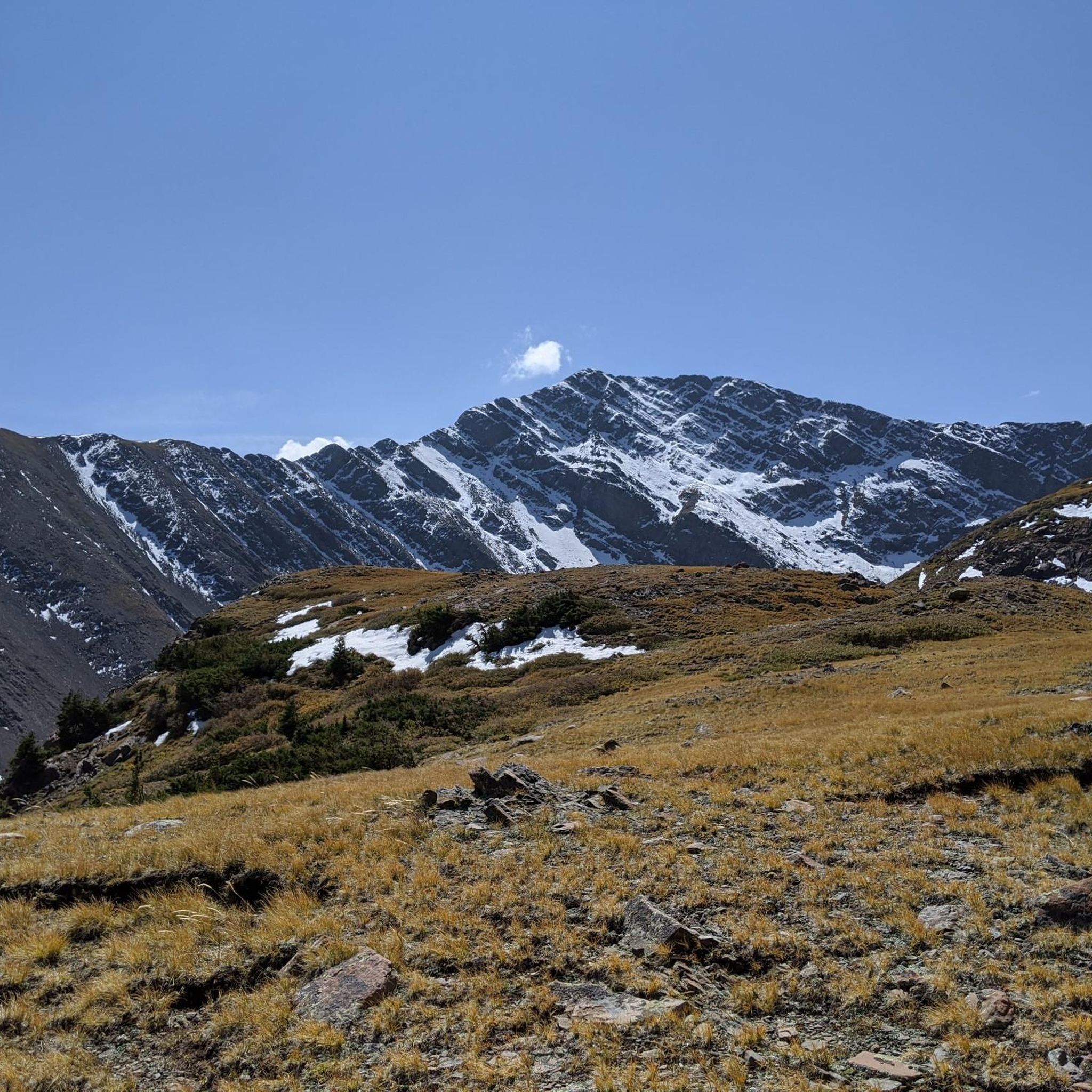
Running Trails in Sangre De Cristo Wilderness
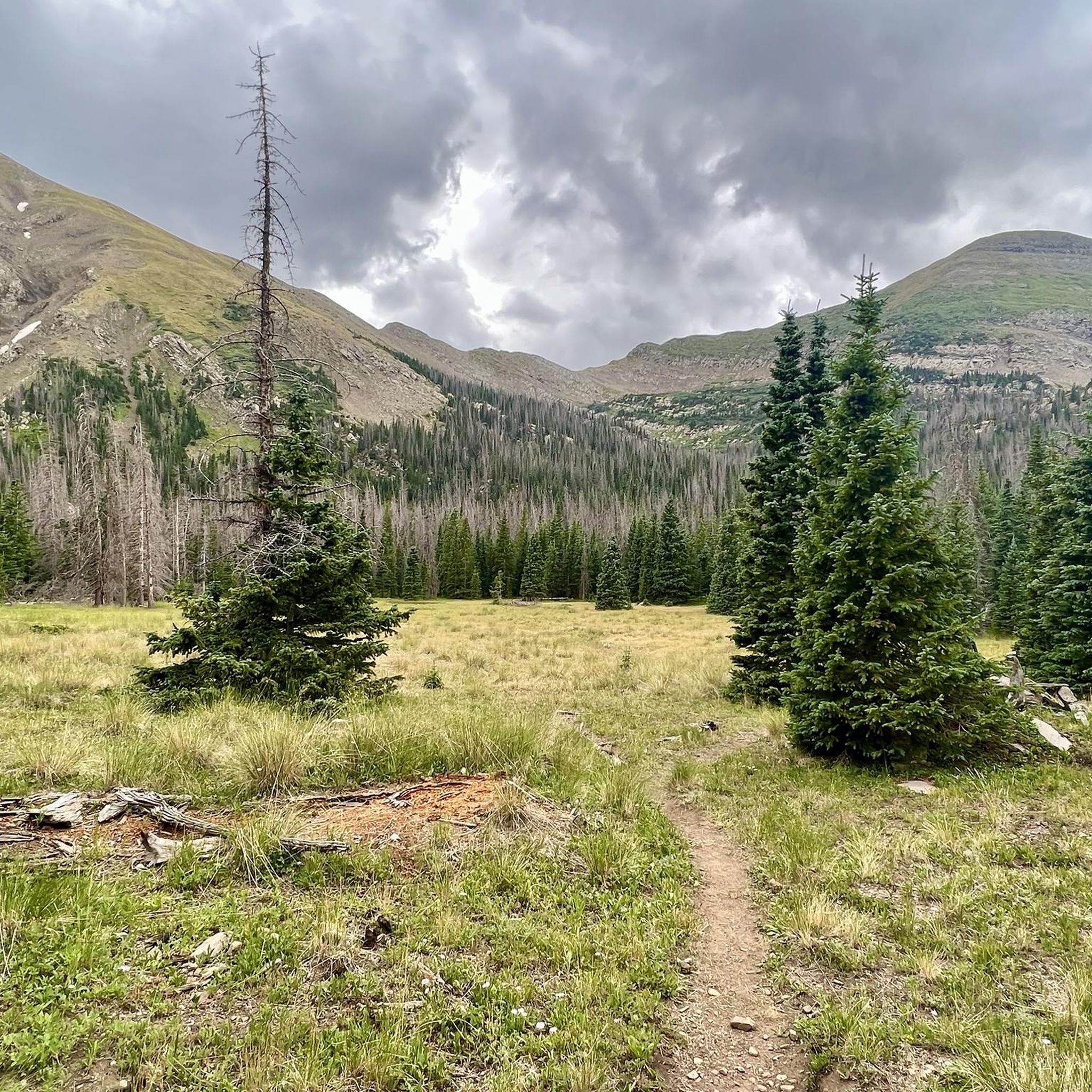
Running Trails in Sangre De Cristo Wilderness

The Colorado Trail — Ten incredible days in the Rocky Mountains

Colorado Trail — The pinnacle of wild Colorado
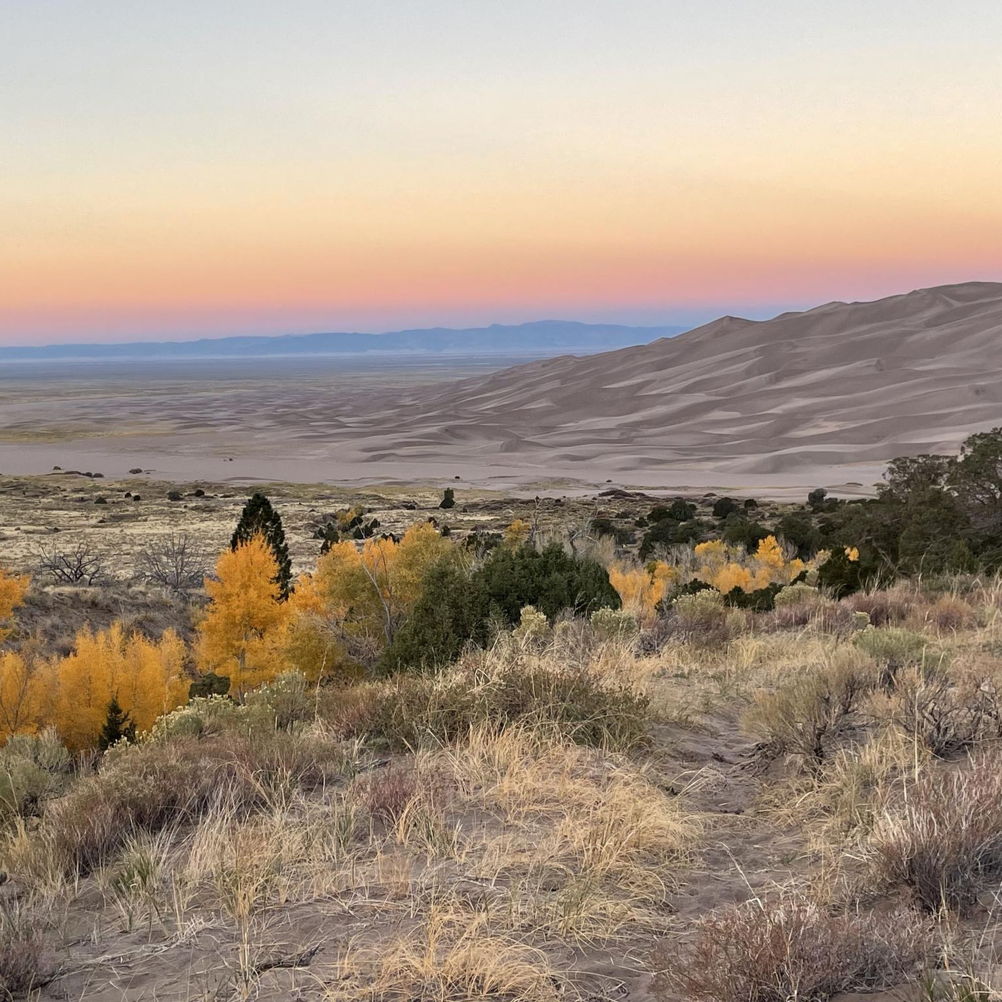
Hiking in Saguache County
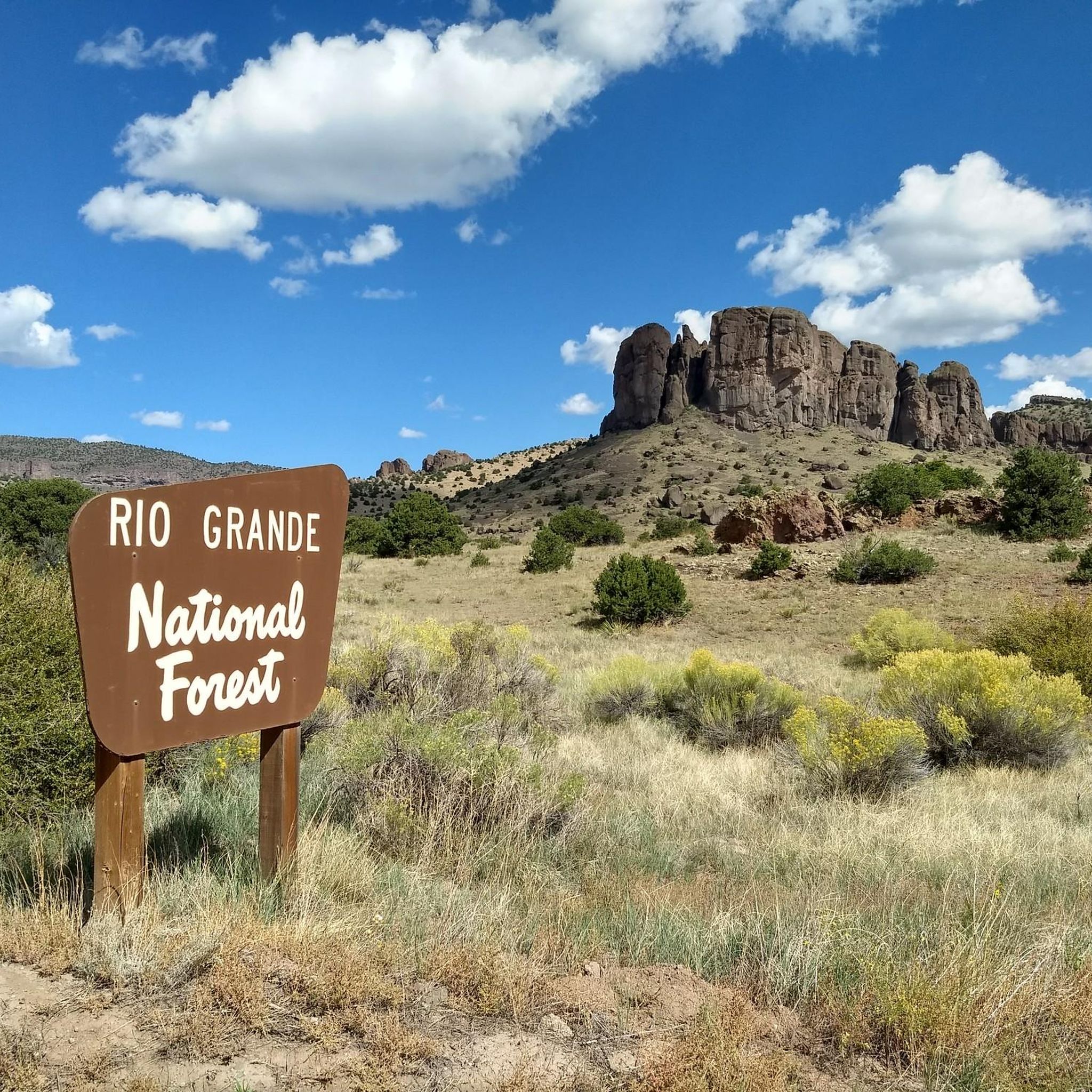
MTB Trails in Saguache County

Road Cycling Routes in Saguache County
Cycling in Saguache County


Tips from the Community

Close to the trailhead, there are some nice campsites nestled into pine trees. Beware that these are also car accessible. Marshall Pass is therefore a good spot to get on or off the Continental Divide Trail/ Colorado Trail. The area around Marshall Pass is also a great spot for rockhounding. The volcanic landscape bears geodes, agates and other interesting specimen, if you are willing to carry rocks. :)
3
0

From the top of Hermit Pass you get incredible views of both the east and west sides of the Sangre de Cristos. The Hermit Pass Road which leads up here from the east is a nontechnical climb on a semi-rocky road past an alpine lake and mountain peaks. The trail down the west side is a beautiful singletrack.
0
0
There is a gravel lot at the top of North Taylor Road. From here you can run south along the Rainbow Trail (doubletrack forest road) all the way down the foothills of the Sangre de Cristos or head up into the Mountains. You can run up to Lakes of the Clouds by going north, or head south along forest roads to reach the Hermit Pass ascent.
0
0

The fantastic views from Humboldt Peak (14056 ft) make this run totally worth it. From Humboldt Peak, there's a panoramic view of the North and South Colony Valleys, Crestone Needle, and Obstruction Peak. This summit is not as challenging as the neighbor Crestone Needle.
0
0
South Colony Lakes are at the base of Crestone Needle, giving you a privileged view of the peak, with green clear water surrounded by grass and a creek that flows from the lakes. This can be a good spot to camp before reaching the needle.
0
0
Close to Venable Trail, there's a short steadily steep trail to Venable Lakes, a group of small alpine lakes with fantastic views of Rio Grande National Forest.
0
0

Starvation Creek is a trail that follows the creek with the same name. It passes through several types of forest and intersects at one point with the Colorado Trail. It is also popular with mountain bikers, so make sure you are aware of other users while out on the trail.
0
0
To reach the summit of Mount Ouray it is a difficult run via either the Ouray Summit Trail or Grays Creek Trail. Once you are at the top, you are treated to 360 views of the mountains and valleys in the area, so it is definitely worth the effort it takes to get to the top.
0
0
Frequently Asked Questions
How many running routes are available in Saguache County?
Saguache County offers a wide selection of routes for runners. There are over 20 running routes documented on komoot, providing diverse options for exploring the region's unique landscapes.
Are there running routes suitable for beginners in Saguache County?
While many routes in Saguache County are rated as difficult due to significant elevation gains and mountainous terrain, there are a few moderate options available. For those new to trail running, it's advisable to start with shorter, less strenuous sections of trails or explore the extensive gravel roads mentioned in the region research, which can offer more accessible running experiences.
What kind of terrain can I expect on running trails in Saguache County?
Running in Saguache County offers incredibly diverse terrain. You'll encounter everything from challenging mountainous paths in the San Juan and Sangre de Cristo ranges, unique sandy surfaces near the Great Sand Dunes National Park, to pine forests and volcanic landscapes. Extensive gravel roads also provide opportunities for longer, less technical runs.
Are there any loop running trails in Saguache County?
Yes, Saguache County features several excellent loop running trails. A popular choice is the Venable-Comanche Trail loop, a challenging 12.2-mile route. Another extensive option is the Rito Alto four pass loop, which covers 23.1 miles through high mountain passes. For a slightly shorter loop, consider the Lake of the Clouds Loop.
What natural landmarks or viewpoints can I see while running in Saguache County?
Saguache County is rich in natural beauty. You can enjoy stunning vistas from Dunes Overlook near the Great Sand Dunes, or experience the dramatic scenery around Marshall Pass Summit. The region also features unique formations like the La Garita Natural Arch, a volcanic dike formation different from typical sandstone arches.
Are there any unique geological features to explore on runs in Saguache County?
Absolutely. The area around Marshall Pass boasts a fascinating volcanic landscape, where rockhounding enthusiasts can find geodes and agates. Additionally, the La Garita Natural Arch is a unique geological formation within a volcanic dike, offering a distinctive sight for runners.
Is parking available at the trailheads in Saguache County?
Yes, many popular trailheads in Saguache County, such as the Marshall Pass Trailhead, offer parking facilities. It's always a good idea to check specific route details or local park information for the most accurate parking availability and any potential fees or permit requirements, especially within areas like the Great Sand Dunes National Park.
What is the best time of year to go running in Saguache County?
The best time for running in Saguache County is generally during the warmer months, from late spring through early fall. This period offers more favorable weather conditions and ensures trails at higher elevations are free of snow. Summer provides lush landscapes, but be prepared for afternoon thunderstorms. Always check local weather forecasts before heading out.
Are there any family-friendly running trails in Saguache County?
While many of the listed routes are challenging, families can find suitable options by exploring less technical sections of trails or utilizing the numerous gravel roads throughout Saguache County. The Point of No Return Trailhead, for example, offers access to trails that can be adapted for shorter, easier outings, depending on the chosen distance.
Can I bring my dog on the running routes in Saguache County?
Many trails in Saguache County, particularly those within national forests and wilderness areas, are dog-friendly, usually requiring dogs to be on a leash. However, specific regulations can vary, especially within national parks like the Great Sand Dunes, where restrictions might apply to certain areas. Always check the rules for the specific trail or park you plan to visit.
What do other runners enjoy the most about running in Saguache County?
Runners frequently praise the dramatic and varied landscapes of Saguache County. The stunning views of the San Juan and Sangre de Cristo Mountains, the unique experience of running near the Great Sand Dunes, and the sense of wilderness found on trails like the Starvation Creek Trail are often highlighted. The challenging nature of many routes also appeals to those seeking a rigorous workout amidst breathtaking scenery.
Are there any trails that offer views of the Great Sand Dunes National Park?
Yes, several areas provide excellent views of the Great Sand Dunes. The Dunes Overlook offers superb vistas of the park. While running directly on the dunes is a unique and intense workout, trails in the surrounding sand sheet and adjacent preserve, such as the Sand Ramp Trail, allow you to experience the diverse environment with views of the dunes.
Are there any running routes that pass through forests?
Absolutely. Saguache County includes parts of the Rio Grande National Forest, offering extensive areas for exploration. Routes like Mount Ouray via Marshall Pass Trailhead lead through beautiful pine forests, providing shade and a different running experience compared to the more open, high-alpine trails.
Most popular routes in Saguache County
Most popular attractions in Saguache County

Get inspired with the komoot mobile app


Didn’t find what you were looking for?
Check out more Running Trails & Routes throughout Saguache County below and find the perfect route in your destination.
Explore more
Browse the best Running Trails & Routes in other regions.
