The best road cycling routes in Sierra County
4.2
(10)
238
riders
13
rides
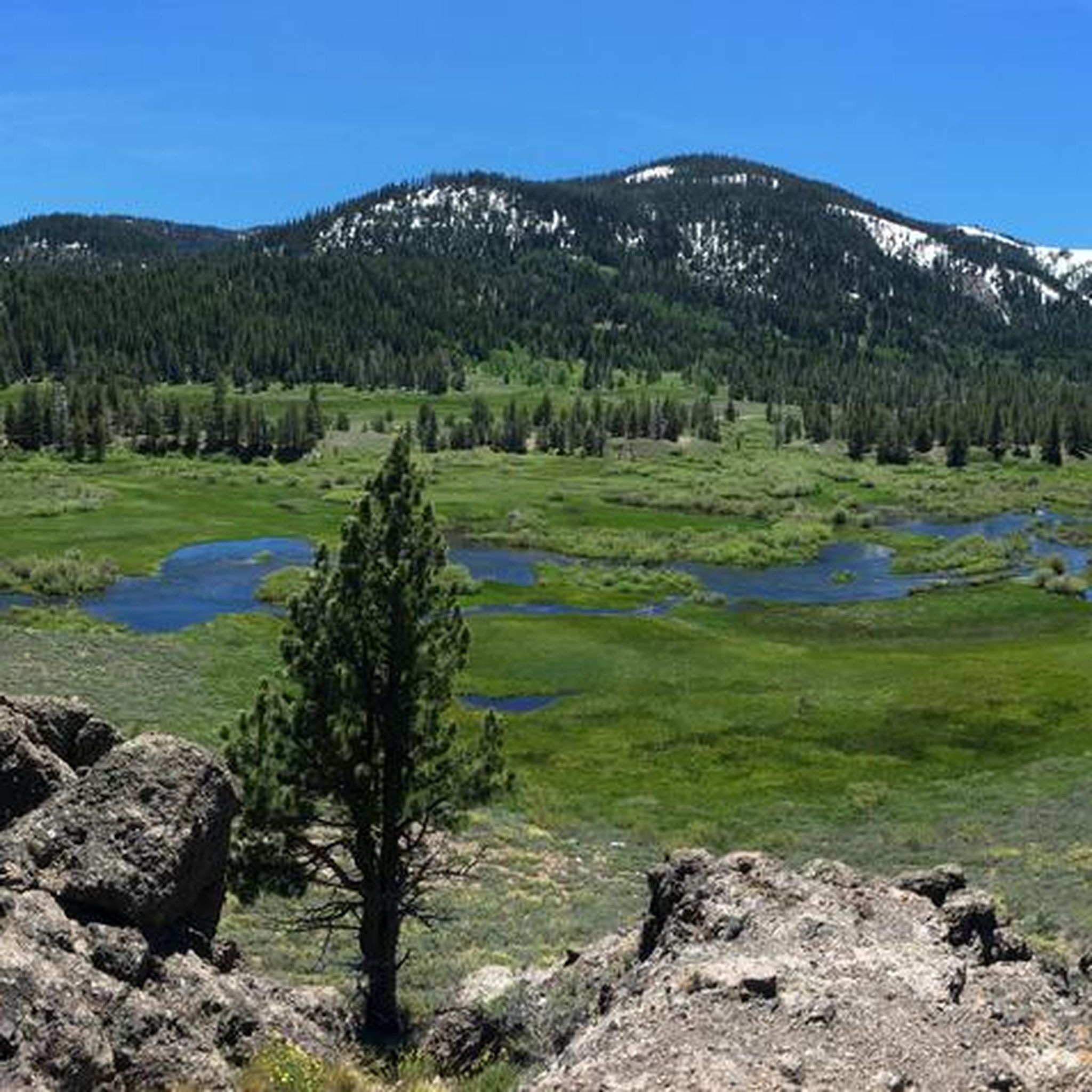
Road cycling routes in Sierra County, California, traverse the diverse landscapes of the Sierra Nevada mountains, offering a blend of high-altitude passes and expansive valleys. The region features the large montane Sierra Valley, surrounded by granitic mountains, with routes passing through conifer and aspen forests, dry woodlands, and agricultural areas. Significant elevation changes are common, particularly around areas like Yuba Pass and the Sierra Buttes, providing varied terrain for road cyclists.
Best road cycling routes in Sierra County
- The most…
Last updated: August 17, 2026
22
riders
86.4km
04:36
1,720m
1,720m
This difficult 53.7-mile road cycling loop from Sierra City tackles Yuba Pass and the Golden Lake Highway, offering 5633 feet of climbing.
20
riders
81.5km
03:04
140m
140m
Cycle the 50.7-mile Sierra Valley loop from Loyalton, a moderate road cycling route through wetlands and the Sierra Valley Preserve.

Sign up for free
2
riders
58.7km
02:53
900m
900m
This moderate 36.5-mile road cycling route from Downieville offers scenic views of the North Yuba River and the dramatic Sierra Buttes.
1
riders
78.8km
03:27
750m
750m
This moderate 48.9-mile road cycling loop in the Hallelujah Junction Wildlife Area offers challenging climbs and stunning desert views.
4.4
(9)
90
riders
55.0km
02:31
360m
360m
Moderate road ride. Good fitness required. Mostly well-paved surfaces and easy to ride.
23
riders
34.4km
01:36
390m
390m
Moderate road ride. Good fitness required. Mostly well-paved surfaces and easy to ride.
4.0
(1)
4
riders
41.9km
01:50
370m
370m
Moderate road ride. Good fitness required. Mostly well-paved surfaces and easy to ride.
6
riders
42.7km
02:07
570m
570m
Moderate road ride. Good fitness required. Mostly well-paved surfaces and easy to ride.
6
riders
66.7km
03:27
1,210m
1,210m
Hard road ride. Very good fitness required. Mostly well-paved surfaces and easy to ride.
Get access to more routes and recommendations from other explorers.
Sign up for free
Already have an account?
Our route recommendations are based on thousands of hikes, rides, and runs completed by other people on komoot.
Start today with a free account
Your next adventure awaits.
Login or Signup

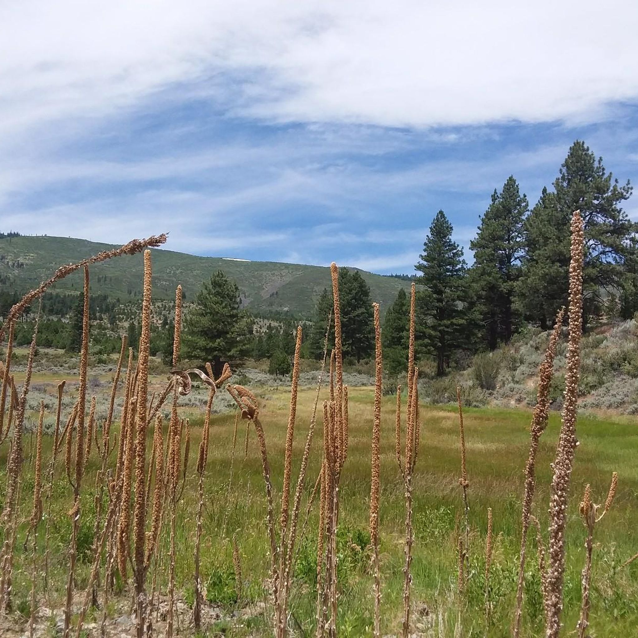

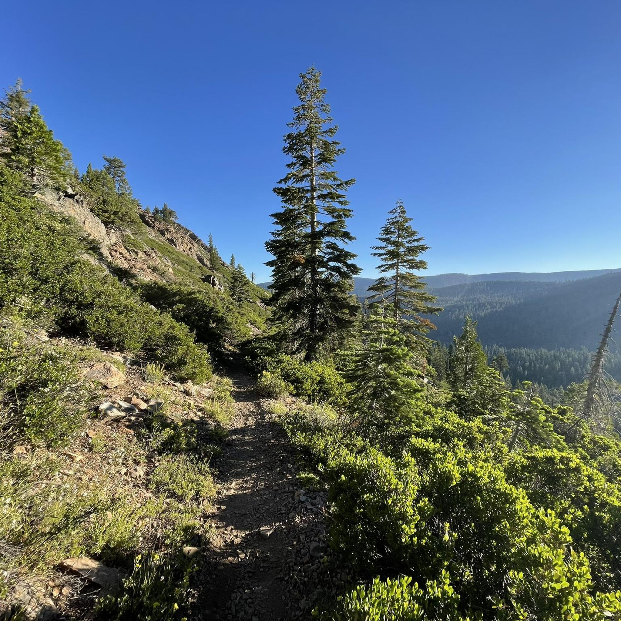
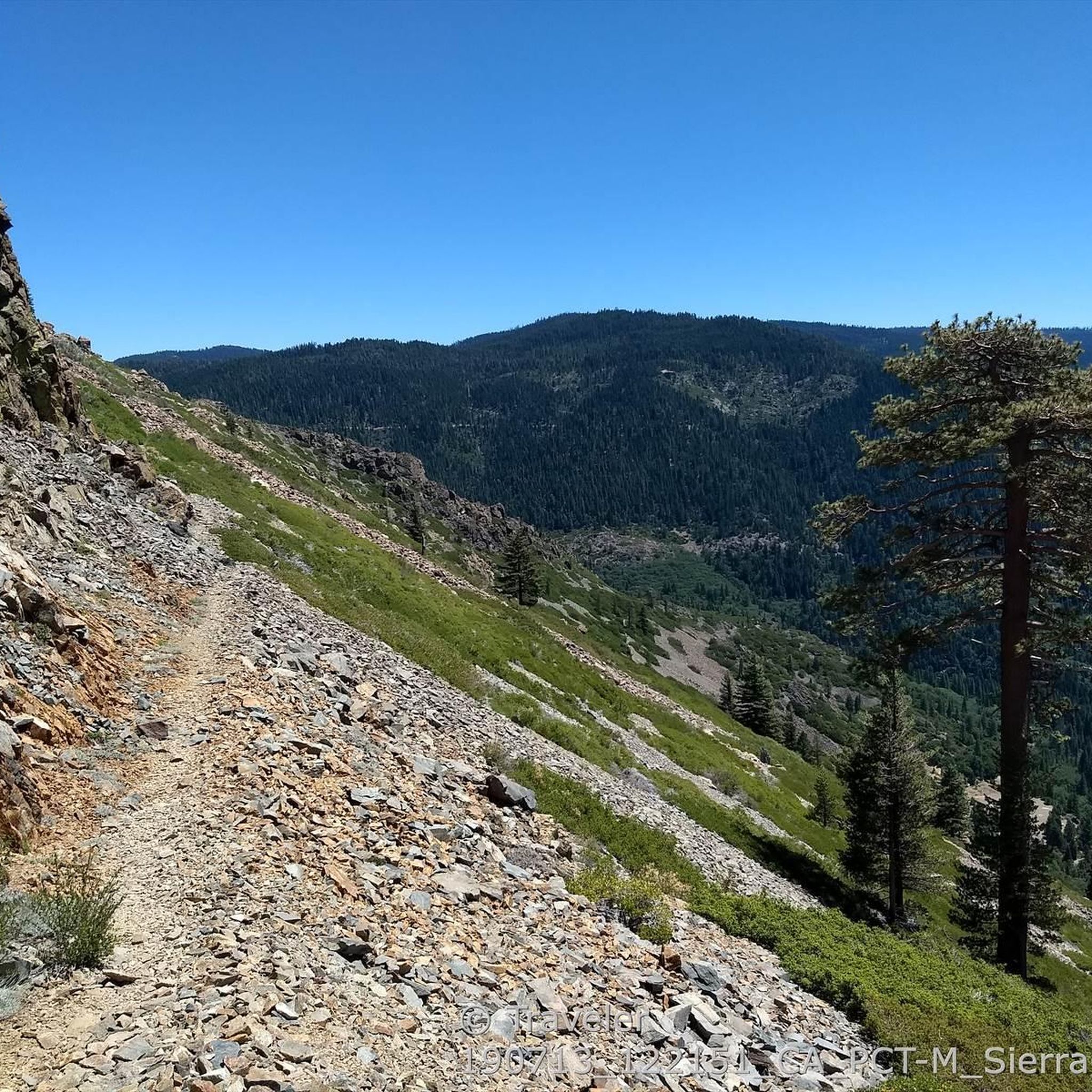
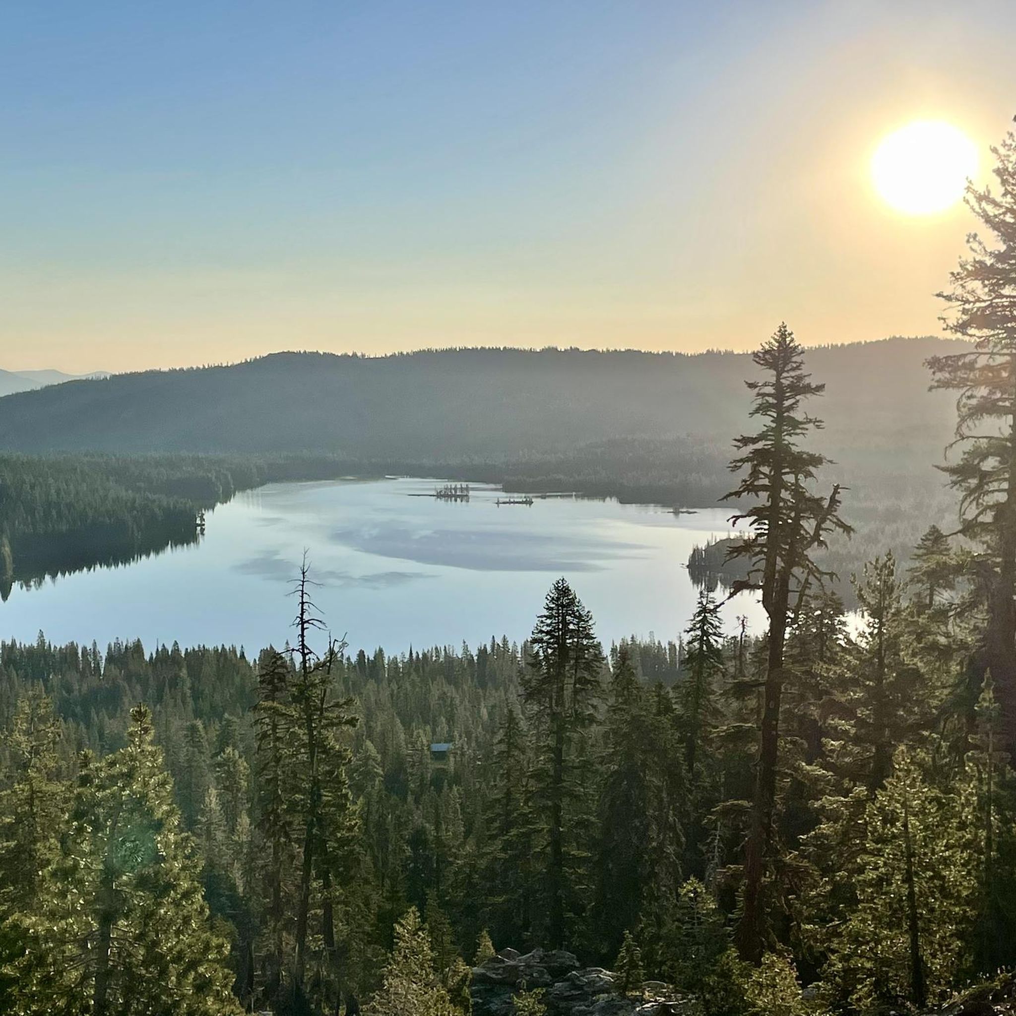
Other adventures in Sierra County

Tips from the Community

Sierra City is a popular spot for PCT hikers to resupply or to get a package. The variety of the general store is not that great, so you might send a package. The general store is accepting packages. The Red Moose Café has excellent breakfast and lunch. Next to the church you will find some public restrooms with showers and power outlets.
1
0

Sierra City is a popular stop over place for hikers doing the Pacific Crest Trail. Because of this, it's a good place to take a break on the bike. The Red Moose Café serves up an excellent breakfast and lunch.
0
0
Downieville maybe be known as a mountain biking town, but it's just lovely on a road bike. It is where the two rivers, the North Yuba and the Downie, meet. There are plenty of places to eat and drink in the town, as well as accommodation, if you are looking to stay a little longer.
0
0
The Sierra Valley Preserve is a nature hotspot. Even cycling past, you can appreciate the beautiful wetlands and meadows, which are particularly stunning when carpeted by wildflowers. It is an important habitat for a variety of birds, including the yellow-headed blackbird and the white faced ibis.
0
0
This is a fantastic place to stop to admire the craggy peaks of Sierra Buttes. Do note that the Golden Lake Highway between here and Graeagle is closed during the winter, so a ride along here is best enjoyed during the summer months only.
0
0

This highest point is on highway CA 49 a little up west of the Yuba Pass Rd junction. It's downhill from here.
0
0
The Tahoe-Pyramid Trail (abbreviated as ‘TPT’) that follows the entire length of the Truckee River, from its source at Lake Tahoe (6225’/1897m) to Pyramid Lake (3796’/1157m). The trail (at 81% completion as of 2023) can be enjoyed by hikers, runners, walkers, or cyclists. Once fully completed the trail will descend nearly 2500′(762m) in elevation over the course of the 114-mile (184km) length, using a combination of existing dirt, paved, and historic roads, bike paths, as well as many newly constructed sections of trail and connecting bridges in both urban and more remote trail areas. https://tahoepyramidtrail.org
0
0
Frequently Asked Questions
How many road cycling routes are available in Sierra County?
There are 12 dedicated road cycling routes in Sierra County, offering a range of experiences from moderate to difficult. These routes traverse diverse landscapes, including high-altitude passes and expansive valleys.
What kind of terrain and elevation can I expect on road cycling routes in Sierra County?
Sierra County offers a compelling mix of terrain, from high mountain lakes and rushing rivers to vast valleys. You can expect significant elevation changes, particularly around areas like Yuba Pass and the Sierra Buttes. Routes vary from those with up to 1,000 feet of elevation gain to more challenging rides exceeding 3,000 feet. Most surfaces are well-paved, though some segments on more challenging rides might be unpaved.
Are there any easy road cycling routes suitable for beginners in Sierra County?
Yes, there is 1 easy road cycling route in Sierra County. While many routes involve significant elevation, options exist for those seeking a less strenuous ride. For example, the Sierra Valley loop from Loyalton is a moderate route with less elevation gain, offering panoramic views through the sub-alpine Sierra Valley.
What are some scenic viewpoints or natural features I can see while road cycling in Sierra County?
Sierra County is rich in natural beauty. You can enjoy dramatic views of the Sierra Buttes, especially from scenic overlooks like the Sierra Buttes lookout. Yuba Pass offers spectacular panoramic views of the sub-alpine Sierra Valley, known for bird-watching and wildflowers. The Lakes Basin Recreation Area also provides gorgeous views. Consider routes like Sierra City & Sierra Buttes Scenic Overlook from Downieville for stunning vistas.
What is the best time of year to go road cycling in Sierra County?
The best time for road cycling in Sierra County is generally from late spring through early fall. This period offers pleasant weather and ensures mountain passes are clear of snow. The region boasts one of California's longest wildflower seasons, with dogwood blooming profusely in spring and abundant summer flowers, making for particularly scenic rides.
Are there any loop road cycling routes in Sierra County?
Yes, many of the road cycling routes in Sierra County are designed as loops, allowing you to start and finish at the same point. Popular loop options include the challenging Yuba Pass & the Golden Lake Highway loop from Sierra City, the scenic Sierra Valley loop from Loyalton, and the Red Rock & Highway 395 loop.
What attractions or points of interest can I explore near the road cycling routes?
Beyond the cycling itself, Sierra County offers several points of interest. You can visit the historic towns of Downieville and Sierra City, which offer a glimpse into the region's Gold Rush history. The area also features natural monuments like South Tamarack Lake and Upper Sardine Lake, perfect for a post-ride cool-down or scenic stop.
What do other road cyclists enjoy most about road cycling in Sierra County?
The road cycling routes in Sierra County are highly rated by the komoot community, with an average score of 4.4 stars from over 9 reviews. Cyclists often praise the diverse landscapes, from high-altitude passes to expansive valleys, and the challenging yet rewarding experiences offered by routes with significant elevation gains. The scenic views and well-maintained roads are frequently highlighted.
Are there any long-distance road cycling routes in Sierra County for experienced riders?
Yes, Sierra County offers several challenging, long-distance routes ideal for experienced riders. The Rocky Point – Yuba Pass Summit loop from Calpine is a substantial 99.1 km route with significant elevation, taking nearly 5 hours to complete. Another demanding option is the Yuba Pass & the Golden Lake Highway loop from Sierra City, which covers 86.4 km with considerable climbing.
Can I find routes that pass through the Sierra Valley for birdwatching or wildlife viewing?
Absolutely. The Sierra Valley is an internationally renowned birdwatcher's paradise, home to species like Canada geese, mergansers, mallards, and bald eagles. The Sierra Valley loop from Loyalton is an excellent route that offers panoramic views through this sub-alpine valley, providing opportunities to spot wildlife amidst conifer and aspen forests, and expansive agricultural areas. Mule deer, black bears, foxes, and raccoons are also present in the county.
Are there any road cycling routes that offer a glimpse into the region's Gold Rush history?
Yes, the Yuba River Scenic Byway (Highway 49), also known as the 'Mother Lode Highway,' passes through historic towns like Sierra City and Downieville. Cycling along this route, such as the Sierra City & Sierra Buttes Scenic Overlook from Downieville, allows you to experience the rich Gold Rush heritage of the area.
What are the options for parking at road bike trailheads in Sierra County?
While specific parking details for every trailhead are not provided, many popular starting points for road cycling routes in Sierra County, especially those near towns like Sierra City, Downieville, or Loyalton, typically offer public parking facilities. It's advisable to check local resources or the komoot route details for specific parking information before you head out.
Most popular attractions in Sierra County

Get inspired with the komoot mobile app


Didn’t find what you were looking for?
Check out more Road cycling routes throughout Sierra County below and find the perfect route in your destination.
Explore more
Browse the best Road cycling routes in other regions.
