The best running trails around Lake Biwa
4.5
(11)
568
runners
12
runs
Jogging around Lake Biwa offers diverse terrain, from dedicated paved paths along the waterfront to more challenging routes with mountainous backdrops. The region is characterized by Japan's largest freshwater lake, providing expansive water views and a mix of flat lakeshore sections and areas with gentle elevation changes. Many sections feature wide, stone-surfaced boardwalks, particularly along the Otsu waterfront, making them suitable for various fitness levels. Runners can explore scenic routes through lakeside parks, rural countryside, and areas offering panoramic views…
Last updated: August 20, 2026
20
runners
7.52km
00:49
20m
30m
Moderate run. Good fitness required. Mostly paved surfaces. Suitable for all skill levels.
4.0
(1)
17
runners
7.00km
00:46
20m
20m
Moderate run. Good fitness required. Mostly paved surfaces. Suitable for all skill levels.

Sign up for free
1
runners
15.3km
01:37
150m
150m
Hard run. Very good fitness required. Mostly paved surfaces. Suitable for all skill levels.
13
runners
8.99km
00:56
20m
20m
Moderate run. Good fitness required. Mostly paved surfaces. Suitable for all skill levels.
11
runners
18.6km
02:00
60m
60m
Hard run. Very good fitness required. Mostly paved surfaces. Suitable for all skill levels.
Get access to more routes and recommendations from other explorers.
Sign up for free
Already have an account?
Our route recommendations are based on thousands of hikes, rides, and runs completed by other people on komoot.
Start today with a free account
Your next adventure awaits.
Login or Signup
Popular around Lake Biwa
Tips from the Community

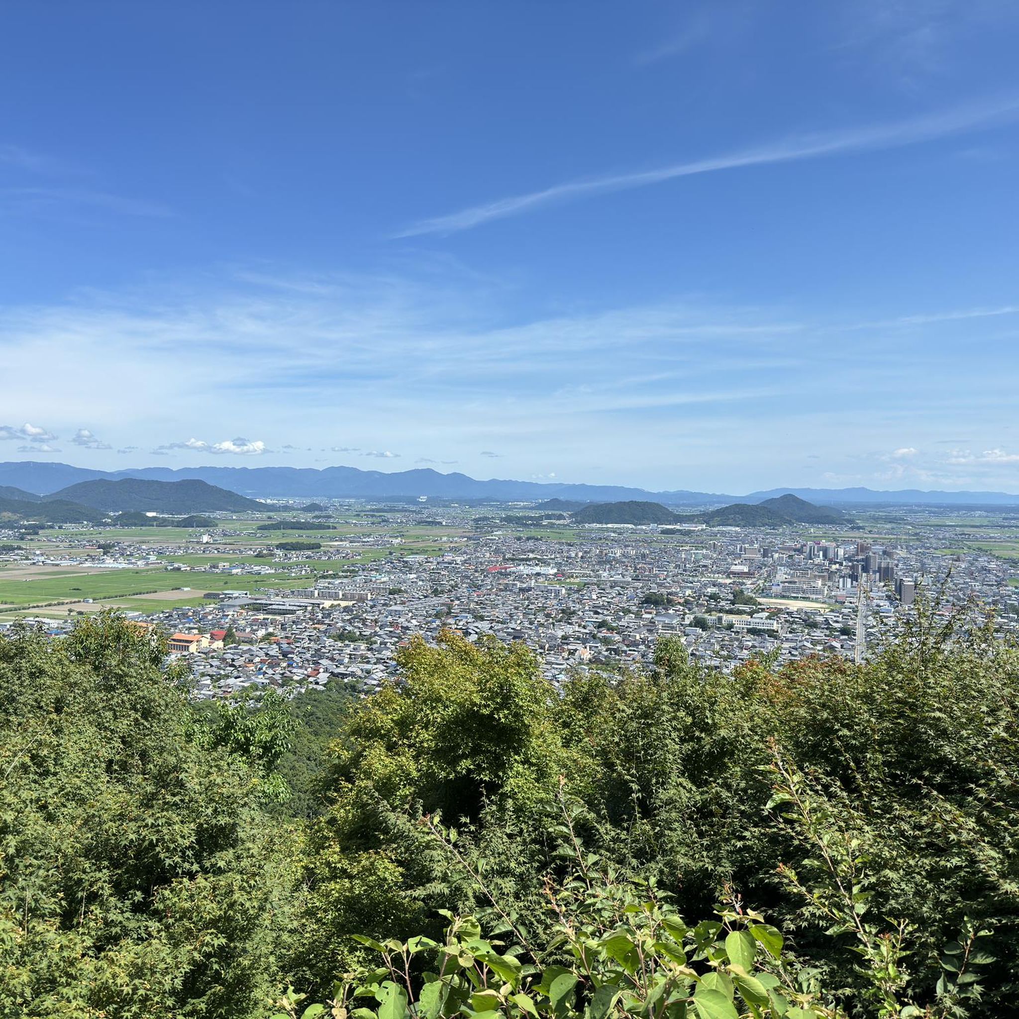
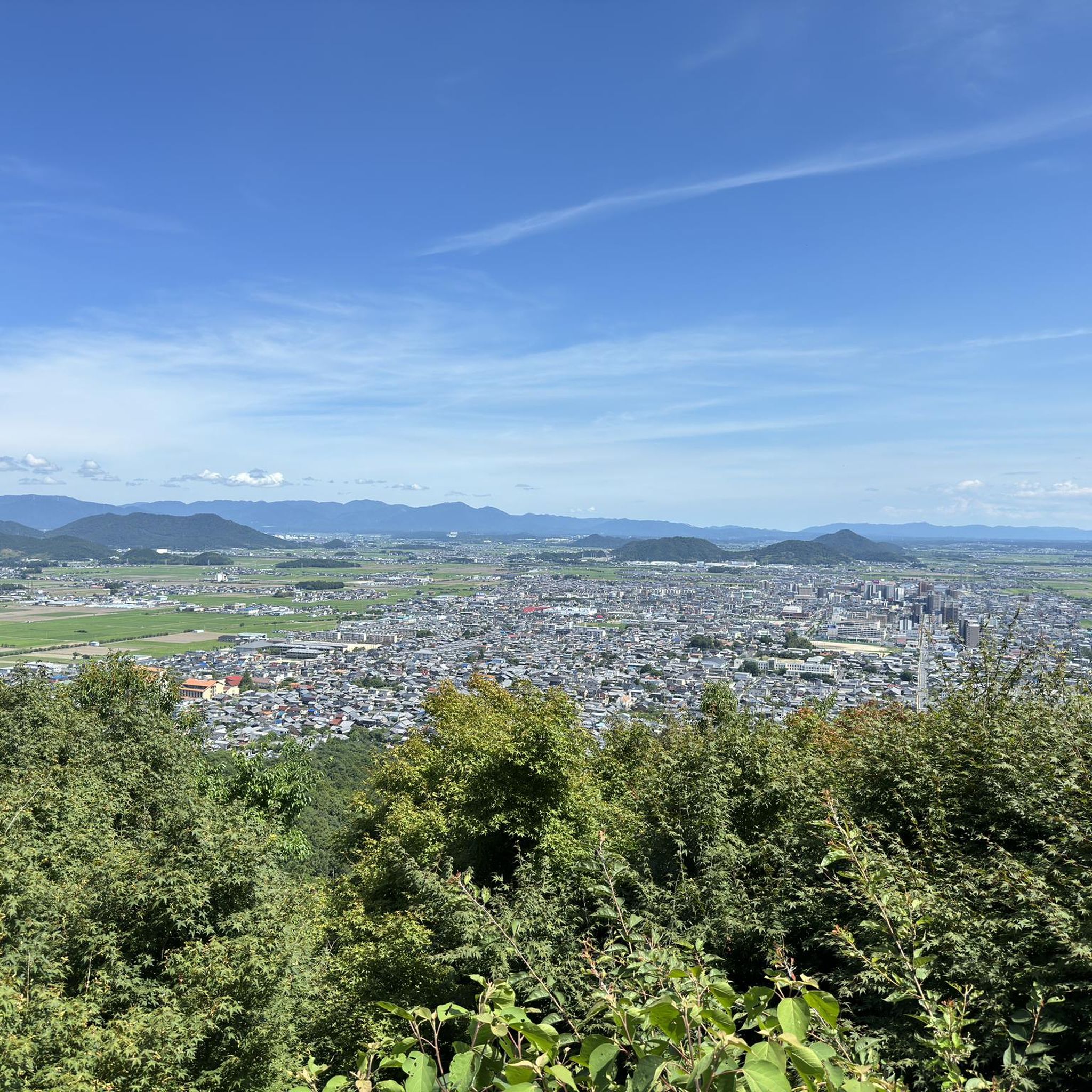
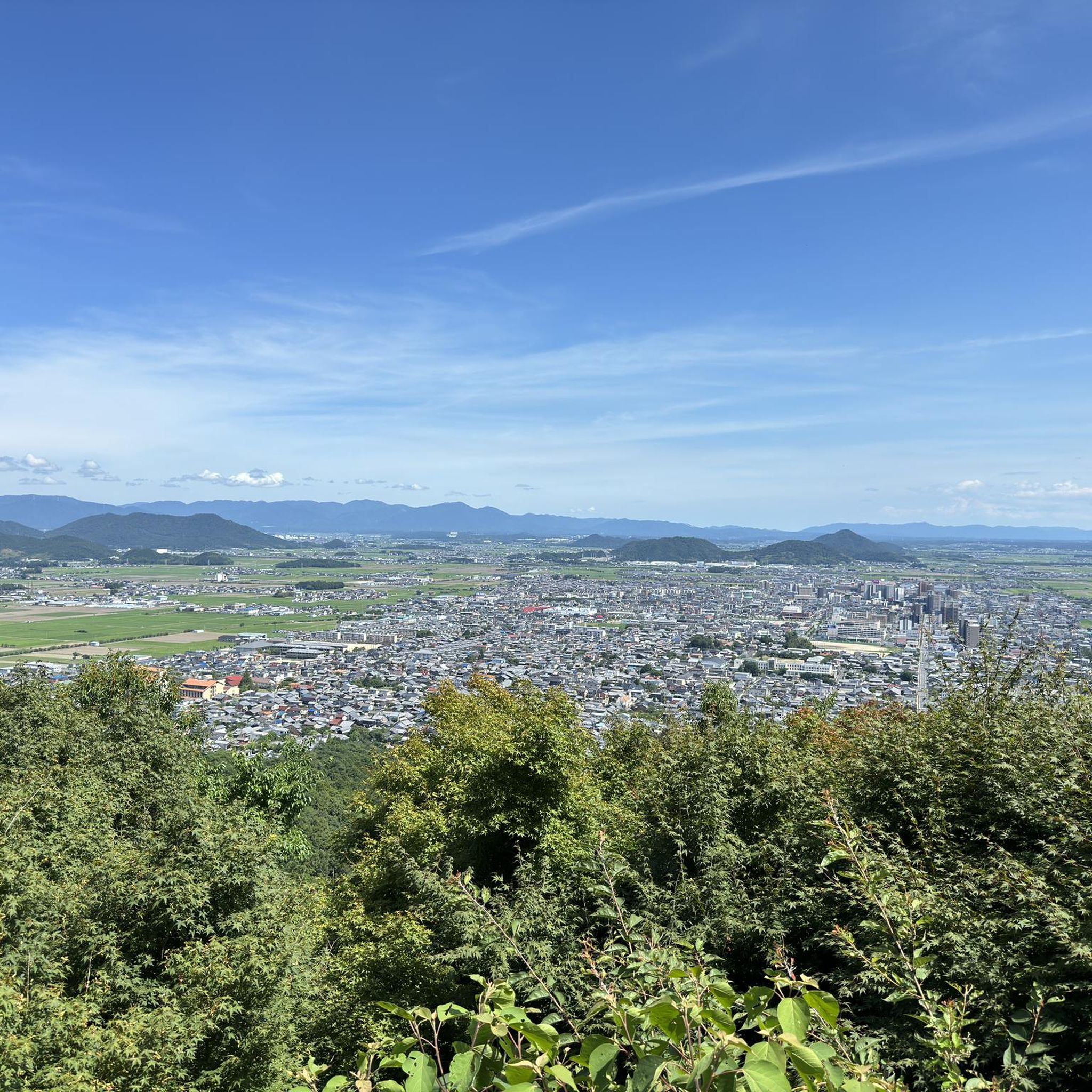
100% worth seeing! esp if there are a few clouds
0
0
Vintage style and modern ships, beautiful and quiet in the morning
0
0
Frequently Asked Questions
How many jogging routes are available around Lake Biwa?
There are over 10 dedicated jogging routes around Lake Biwa, catering to various fitness levels. These routes are highly rated by the komoot community, with an average score of 4.5 stars.
What kind of terrain can I expect on the running routes around Lake Biwa?
You'll find a diverse range of terrain. Many sections feature dedicated, paved paths and wide, stone-surfaced boardwalks, especially along the Otsu waterfront. While much of the lake perimeter is flat, particularly on the eastern side, some areas offer gentle elevation changes, and the more mountainous northern side can provide more challenging routes.
Are there any easy or beginner-friendly running routes in Lake Biwa?
Yes, many routes are suitable for beginners. For example, the View of Lake Biwa – Sunset Over Lake Biwa loop from 錦 is a moderate 4.6-mile (7.5 km) trail offering pleasant water views on dedicated paths. Another great option is the Sunset Over Lake Biwa – View of Lake Biwa loop from 島ノ関, a 4.3-mile (7.0 km) path that follows the lakeshore on largely paved surfaces, ideal for a smooth run.
Can I find circular running paths around Lake Biwa?
Yes, many of the running routes around Lake Biwa are designed as loops, allowing you to start and finish at the same point. For instance, the 殿田川内湖 loop from 唐橋前 is a 5.5-mile (8.9 km) trail that takes you through tranquil countryside towns.
What are some scenic viewpoints or landmarks I might see while running?
Runners are treated to expansive lake views and a constantly changing backdrop. You might pass by the iconic torii gate of Shirahige Shrine, which appears to float on the water, or enjoy views of the majestic Hira mountain range. Lakeside parks and beaches, such as Omi-maiko Beach, also offer beautiful natural areas.
Are there running routes suitable for families with children?
The dedicated paths and wide boardwalks, especially along the Otsu waterfront and through parks like Hamaotsunagisa Park, are generally suitable for families. These areas often have flat, paved surfaces and offer pleasant views, making them enjoyable for all ages.
Are the running routes around Lake Biwa dog-friendly?
While specific regulations can vary by park or section, many of the lakeside paths and open areas around Lake Biwa are generally dog-friendly, especially if your dog is on a leash. It's always a good idea to check local signage for any specific restrictions in certain park areas.
How can I access the running routes using public transport?
Lake Biwa is easily accessible by train from Kyoto. Many sections of the running routes, particularly along the Otsu waterfront, are conveniently located near train stations, allowing for easy access to various starting points. The area's improved infrastructure, including official route markings, also aids navigation.
Is there parking available near the jogging routes?
Yes, there are parking facilities available at various points around Lake Biwa, especially near popular parks and access points along the waterfront. The improved infrastructure around the lake, which also benefits runners, includes provisions for parking.
What is the best time of year to go jogging around Lake Biwa?
Lake Biwa offers beautiful scenery year-round. Spring brings cherry blossoms, autumn showcases vibrant foliage, and even winter has its unique charm. The dedicated paths are generally well-maintained, making them suitable for running in most seasons. However, spring and autumn offer particularly pleasant temperatures for outdoor activity.
Are there places to stop for refreshments or rest along the routes?
Yes, the area around Lake Biwa has seen significant improvements in infrastructure. You'll find convenience stores, restaurants, and inns along many of the routes, especially in more developed areas like the Otsu waterfront. Numerous lakeside parks also provide green spaces and resting points.
What do other runners enjoy most about jogging in Lake Biwa?
The area is highly rated by the komoot community, with an average score of 4.5 stars. Reviewers often praise the expansive water views, the well-maintained dedicated paths, and the constantly changing backdrop of natural beauty and cultural landmarks. The variety of routes, from flat lakeshore runs to more challenging trails, is also frequently highlighted.
Can I run along the famous Biwaichi cycling route?
While primarily known as a cycling route, portions of the 'Biwaichi' are indeed excellent for running. The eastern side, from Otsu Port up to Kinomoto, is particularly flat and runs along the lakeshore, making it ideal for a smooth run. The official route is marked with a blue line, assisting with navigation for both cyclists and runners.
Are there any longer running routes for more experienced runners?
Yes, Lake Biwa offers options for longer distances. For instance, the View of Lake Biwa – Biwako Port loop from 瀬田 is a difficult 11.5-mile (18.5 km) route with notable elevation gain. For a significant challenge, the 打見山 – 蓬莱山 loop from 志賀 covers over 12 miles (20 km) with substantial elevation changes.

Get inspired with the komoot mobile app


Explore more
Browse the best Running Trails & Routes in other regions.
