The best walks and hikes around Landvettersjön
4.6
(559)
3,714
hikers
203
hikes
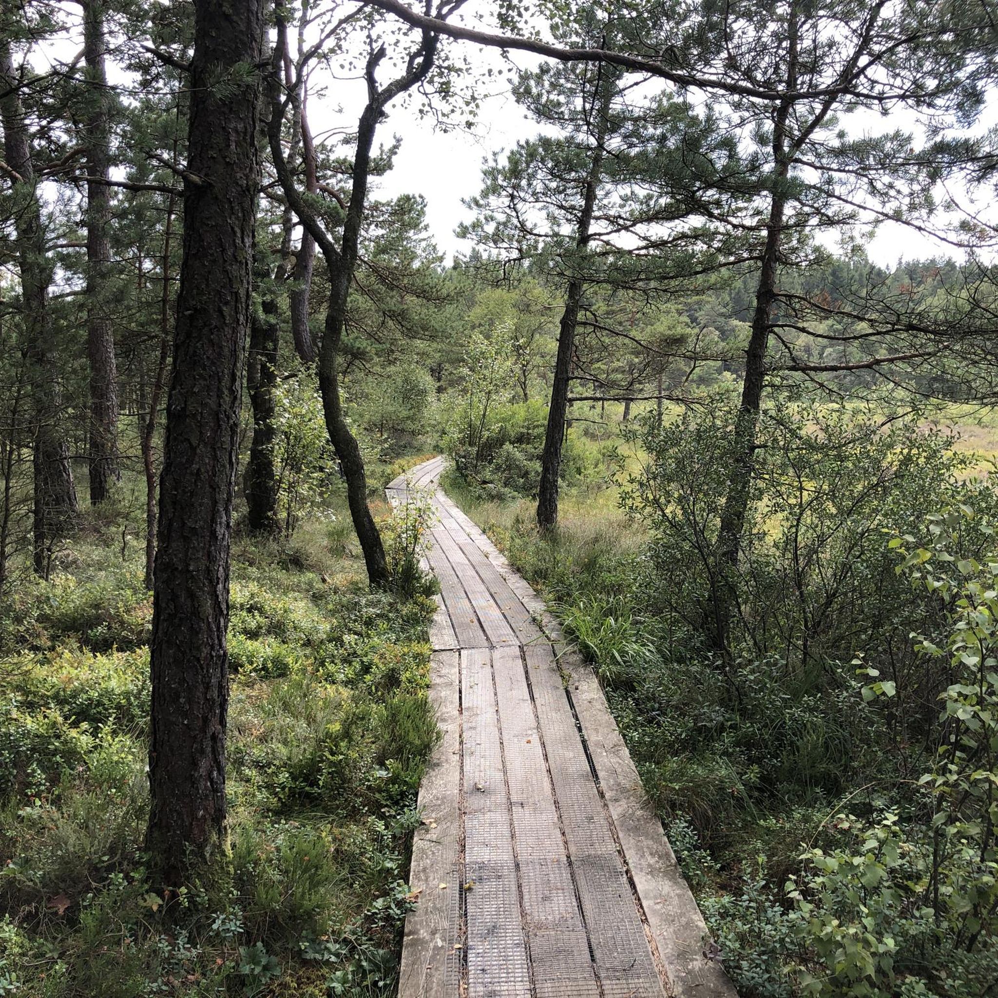
Hiking around Landvettersjön offers a diverse natural landscape characterized by clear lake waters, dense forests, and undulating terrain. The area features numerous smaller lakes and tarns, contributing to varied scenic views. Glacial activity has shaped the landscape, resulting in hills and wetlands that provide diverse perspectives for hikers. Trails often connect these natural settings, offering a range of experiences.
Best hiking trails around Landvettersjön
- The most popular hiking route is Råda Säteri Café and Manor – View of Lake Rådasjön…
Last updated: June 26, 2026
2
hikers
2.53km
00:40
20m
20m
Easy hike. Great for any fitness level. Easily-accessible paths. Suitable for all skill levels.
4.3
(8)
47
hikers
13.6km
03:35
110m
110m
Moderate hike. Good fitness required. Easily-accessible paths. Suitable for all skill levels.

Sign up for free
5.0
(1)
7
hikers
13.9km
03:48
210m
210m
Moderate hike. Good fitness required. Easily-accessible paths. Suitable for all skill levels.
2
hikers
6.77km
01:48
70m
70m
Moderate hike. Great for any fitness level. Mostly accessible paths. Sure-footedness required.
4.9
(11)
67
hikers
6.68km
01:47
80m
80m
Easy hike. Great for any fitness level. Easily-accessible paths. Suitable for all skill levels.
Get access to more routes and recommendations from other explorers.
Sign up for free
Already have an account?
Our route recommendations are based on thousands of hikes, rides, and runs completed by other people on komoot.
Start today with a free account
Your next adventure awaits.
Login or Signup
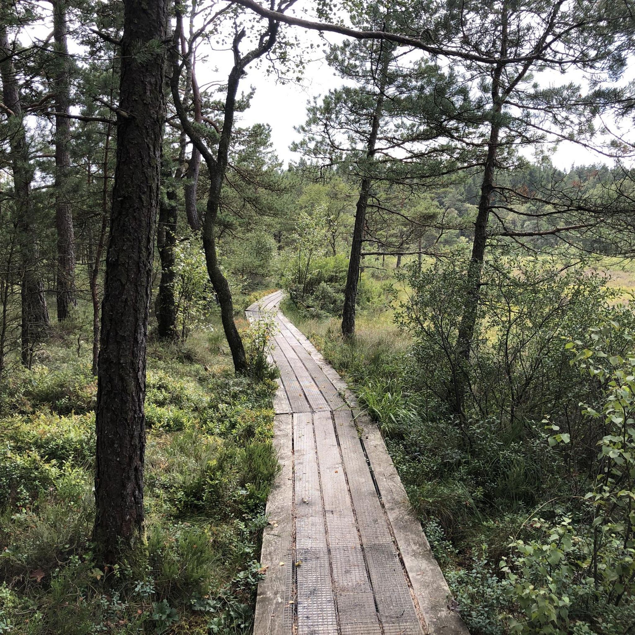
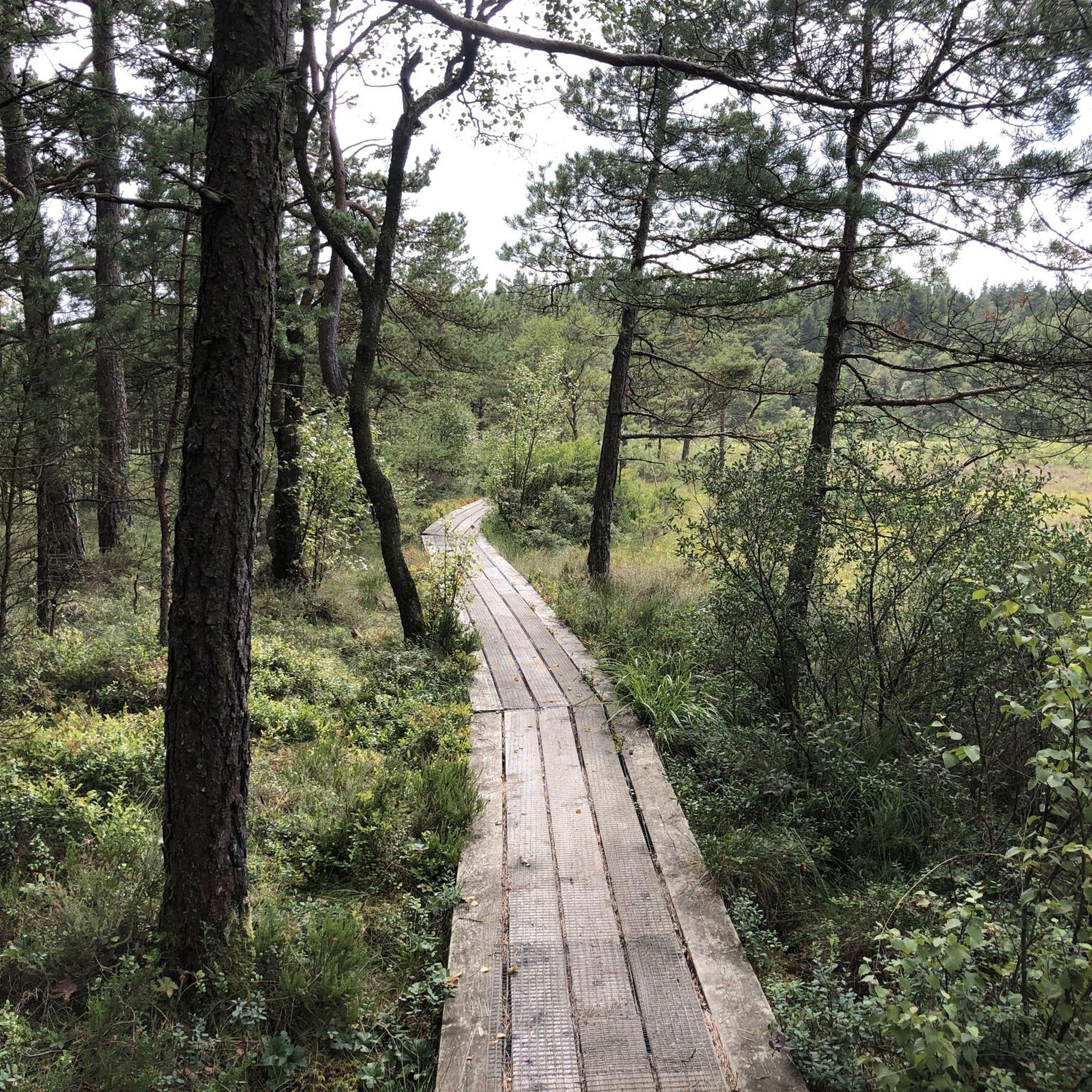
Tips from the Community

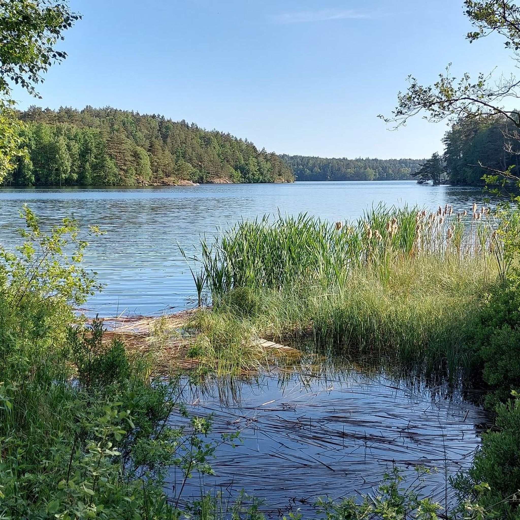
This picnic area is located right on the shore of Lake Agntjärn. There is a permanent grill and seating available for your use. The shoreline changes depending on how full the forest lake is.
0
0
Just a few steps off the hiking trail, you'll come across a small waterfall cascading over a jagged rock. The access is marked with a sign. It's also worth a visit in winter, because when it gets cold enough, the waterfall turns into an icefall.
0
0
The Gallhålan Nature Reserve is located on the eastern edge of Landvetter and protects an oak forest. It was established in 1988 and expanded in 2013 to its current size of 96 hectares. In the summer, numerous trails crisscross the reserve.
0
0

A peaceful lake surrounded by forest, Finnsjön is the central highlight of this route. Several access points lead down to the water, where you can take a swim, relax on the rocks or stop at simple picnic spots. The area is well maintained and popular with locals, but still feels quiet—especially in the early morning or evening.
0
0

You can walk along the lake trail through lush green forests in summer. Perfectly accessible by public transport.
0
0
A beautiful loop around the lake. Take the bus to get to this lovely hike. Buses X4 and 601 will bring you from Gothenburg here within an hour. More details: http://www.vasttrafik.se/
0
0
Frequently Asked Questions
How many hiking trails are available around Landvettersjön?
There are over 200 hiking routes around Landvettersjön, offering a diverse range of experiences. This includes approximately 130 easy trails, 70 moderate routes, and a few more challenging options for experienced hikers.
What kind of terrain can I expect when hiking in Landvettersjön?
The terrain around Landvettersjön is quite varied, characterized by clear lake waters, dense forests, and an undulating landscape. You'll encounter hills and wetlands, shaped by glacial activity, providing diverse perspectives and engaging hikes. Trails often connect several smaller lakes through varied forest terrain.
Are there any easy, family-friendly hiking routes in the area?
Yes, Landvettersjön offers many easy trails suitable for families. An excellent option is the Finnsjön Lake loop from Finnsjögården, which is 7.0 km long and leads through varied forest terrain, offering stunning photo opportunities. Another easy choice is the Gallhålans naturreservat loop from Landvetter, a 4.8 km trail.
Are dogs allowed on the hiking trails around Landvettersjön?
Generally, dogs are welcome on trails in Landvettersjön, but it's always best to keep them on a leash, especially in nature reserves or during certain seasons to protect wildlife. Always check local regulations for specific areas or trails you plan to visit.
What are some notable natural features or viewpoints to look out for?
Landvettersjön is known for its clear lake waters and the numerous smaller lakes and tarns scattered throughout the region. Many routes offer scenic views, particularly those that follow the lake shores or climb to elevated points. The varied forest terrain itself is a highlight, providing a serene and immersive nature experience.
Are there any circular hiking routes available?
Yes, many of the popular routes around Landvettersjön are circular. For example, the View of Råtjärn loop from Nya Långenäs is a moderate 6.6 km circular trail. The Finnsjön Lake loop from Finnsjögården is another popular easy circular option.
How can I get to the hiking trails using public transport?
Some areas, such as the hiking trail around Lake Yxsjön, are easily accessible by public transport. For other trailheads, it's advisable to check local bus schedules or plan your route in advance, as accessibility can vary.
Are there places to eat or get refreshments near the trails?
While some trailheads are in natural settings, you can find cafes and restaurants in nearby communities like Landvetter or Mölnlycke. These are good options for refreshments or a meal after your hike.
What is the best time of year to go hiking in Landvettersjön?
The area offers beautiful conditions for outdoor activities throughout much of the year. Spring and autumn provide pleasant temperatures and vibrant scenery, making them ideal for hiking. Even winter running is possible with appropriate gear, offering a different kind of natural beauty.
What do other hikers say about the trails in Landvettersjön?
The hiking routes in Landvettersjön are highly rated by the komoot community, with an average score of 4.7 stars from over 400 reviews. Hikers often praise the diverse natural landscape, the clear lake views, and the varied forest terrain that makes each route engaging.
Are there any longer, more challenging routes for experienced hikers?
Yes, while there are many easy and moderate trails, Landvettersjön also offers a few routes requiring very good fitness and sure-footedness. These more difficult trails often feature greater elevation changes and more rugged terrain, providing a challenge for experienced trekkers.
Most popular routes around Landvettersjön

Get inspired with the komoot mobile app


Explore more
Browse the best Hikes in other regions.
