The best walks and hikes around Gyltigesjön
4.7
(629)
2,105
hikers
27
hikes
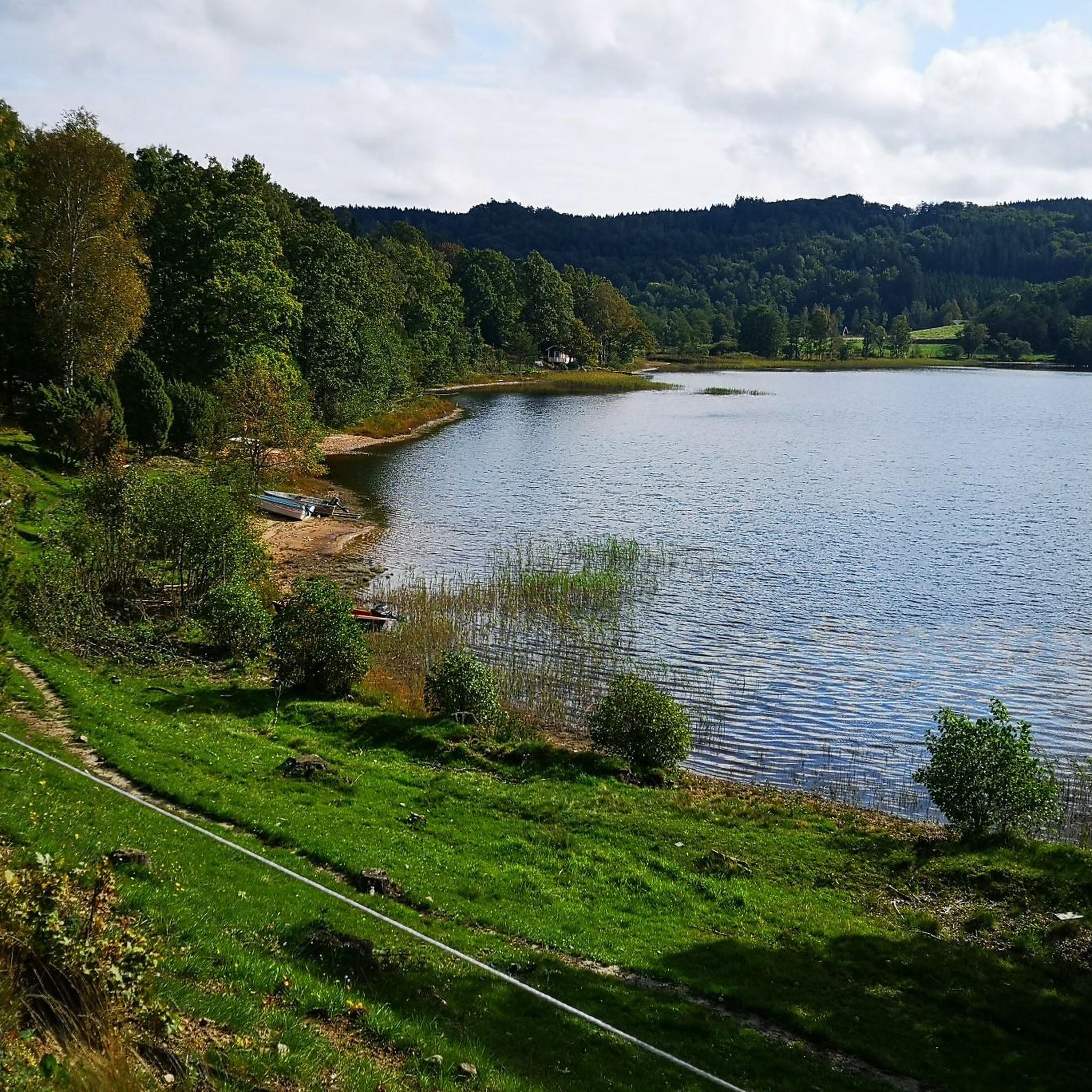
Hiking trails around Gyltigesjön traverse a diverse landscape in the Simlångsdalen Valley, Halland, Sweden. The region is characterized by a long, narrow lake system, including Gyltigesjön itself, fed by the Fylleån River. Hikers encounter varied terrain, from steep-sided ridges and kettle holes, remnants of melting ice sheets, to enchanting beech forests and unique mires. The area also features juniper slopes and is bordered by nature reserves, offering a range of natural features for exploration.
Best hiking trails around Gyltigesjön
- The most popular hiking route is Wooden Bridge Over Stream – Swedish Farmhouse loop from Gyltige, a 6.9 miles (11.1 km) trail that takes 2 hours 58 minutes to complete. This moderate route features varied forest paths and lakeside views.
- Another top favourite among local hikers is Rustic Wooden House – Old Mill loop from Gyltige, a moderate 5.7 miles (9.3 km) path. This trail leads through woodlands and past historical features, taking approximately 2 hours 34 minutes.
- Local hikers also love the Rustic Wooden House – Old Mill loop from Mjöalt, a 6.0 miles (9.6 km) trail leading through varied forest and open landscapes, often completed in about 2 hours 40 minutes.
- Hiking around Gyltigesjön is defined by lake systems, beech forests, and mires. The network offers options for different ability levels, including 12 easy, 14 moderate, and 1 difficult route.
- The routes in Gyltigesjön are highly rated by the komoot community with an average score of 4.7 stars from nearly 600 reviews. More than 2000 hikers have used komoot to explore Gyltigesjön's varied terrain.
Last updated: July 8, 2026
3
hikers
9.26km
02:34
170m
170m
Moderate hike. Good fitness required. Easily-accessible paths. Suitable for all skill levels.
4.8
(4)
19
hikers
11.1km
02:58
130m
130m
Moderate hike. Good fitness required. Easily-accessible paths. Suitable for all skill levels.

Sign up for free
5.0
(2)
20
hikers
3.20km
00:51
30m
30m
Easy hike. Great for any fitness level. Easily-accessible paths. Suitable for all skill levels.
5.0
(1)
10
hikers
13.1km
03:32
180m
180m
Moderate hike. Good fitness required. Easily-accessible paths. Suitable for all skill levels.
2.0
(1)
6
hikers
23.0km
06:05
220m
220m
Hard hike. Very good fitness required. Mostly accessible paths. Sure-footedness required.
Get access to more routes and recommendations from other explorers.
Sign up for free
Already have an account?
Our route recommendations are based on thousands of hikes, rides, and runs completed by other people on komoot.
Start today with a free account
Your next adventure awaits.
Login or Signup
Popular around Gyltigesjön
Tips from the Community

Very beautiful circular trail over hill and dale. In places also through marshy areas with wooden walkways. Good footwear is advisable.
0
0

Beautiful waterfall. Unfortunately, we didn't have the full water, but it was still beautiful to see. It looks even more impressive from below than from above.
1
0

A beautiful, easily accessible waterfall. There are many spots above and below the waterfall that are ideal for swimming. The paths are not suitable for bicycles, strollers, or wheelchairs.
4
0
Free parking with a great bathing jetty and adjacent rest area with barbecue facilities and toilets.
1
0

The nature reserve is where the village of Bröda once stood, and is made up of an ancient beech forest and open pastures. The pastures and woods lead towards Lake Simlången. It's a wonderful place for hiking and admiring the rich biodiversity.
0
0

Beautiful waterfall at the end of the circular trail
0
0
Bridge over the river, nice to take pictures of the river
1
0
Frequently Asked Questions
What types of landscapes can I expect to see while hiking around Gyltigesjön?
The Gyltigesjön area offers a diverse landscape shaped by its glacial past. You'll encounter a beautiful lake system, including Gyltigesjön itself, fed by the Fylleån River. Trails often feature steep-sided ridges, kettle holes, enchanting beech forests, and unique mires with footbridges. Some areas even boast juniper slopes reminiscent of a Tuscan landscape.
Are there any easy hiking trails suitable for beginners or families with young children?
Yes, Gyltigesjön offers a good selection of easy trails. There are 12 easy routes available, perfect for beginners or families. A great option is the Wooden Bridge Over Stream loop from Gyltige, which is 3.2 km long and takes just over an hour to complete, featuring pleasant forest paths.
What is the overall difficulty level of hiking trails in Gyltigesjön?
The trails around Gyltigesjön cater to various fitness levels. Out of 27 available routes, you'll find 12 easy, 14 moderate, and 1 difficult trail. This variety ensures there's something for everyone, from leisurely strolls to more challenging treks.
Are there any circular hiking routes available in the Gyltigesjön area?
Yes, many of the trails around Gyltigesjön are designed as circular routes, allowing you to start and end at the same point. For example, the Wooden Bridge Over Stream – Swedish Farmhouse loop from Gyltige is a moderate 11.1 km loop offering varied forest paths and lakeside views.
What do other hikers enjoy most about the trails in Gyltigesjön?
The hiking trails in Gyltigesjön are highly regarded by the komoot community, with an average rating of 4.7 stars from nearly 600 reviews. Hikers frequently praise the diverse scenery, which includes serene lake systems, ancient beech forests, and unique mires, as well as the well-maintained paths that make exploration enjoyable.
Are there any historical or cultural points of interest along the hiking routes?
Yes, some trails incorporate historical elements. A section of the Hallandsleden trail, for instance, follows an old railway embankment that once belonged to the Bolmenbanan. You might also spot old gravel pits, offering glimpses into the region's past. The Rustic Wooden House – Old Mill loop from Gyltige is a moderate 9.3 km path that leads through woodlands and past some of these historical features.
Are there facilities like picnic areas or campsites available along the trails?
Yes, the Gyltigesjön area is well-equipped for hikers. You'll find campsites with shelters and fireplaces, particularly in Gyltige, which are perfect for resting or overnight stays. Many trails also feature picnic areas complete with benches, barbecues, and toilets, enhancing your hiking experience.
Can I combine hiking with other outdoor activities in Gyltigesjön?
Absolutely! Gyltigesjön is ideal for combining hiking with other activities. The lake itself is known for clear, inviting water, making it suitable for swimming at the small beach. You can also enjoy fishing for perch and pike, and canoe rentals are available in the wider Simlångsdalen area, allowing for a multi-faceted outdoor adventure.
What kind of wildlife might I encounter while hiking in Gyltigesjön?
The diverse ecosystems around Gyltigesjön, including forests and mires, support various wildlife. If you visit in spring, you might have the chance to observe the courtship rituals of the black grouse. The nature reserves nearby, such as Hules norra's and Sutarebo, also offer opportunities for wildlife spotting.
Are there any longer or more challenging routes for experienced hikers?
For experienced hikers seeking a longer challenge, there is one difficult route available in the Gyltigesjön network. Additionally, several moderate trails offer significant distances and elevation changes. The Old Mill – Rustic Wooden House loop from Mjöalt is a moderate 13.1 km route that provides a good workout through varied terrain.
Is there parking available near the trailheads in Gyltigesjön?
While specific parking locations are not detailed for every trailhead, the presence of popular starting points like Gyltige and Mjöalt suggests that parking facilities are generally available to accommodate hikers. It's advisable to check local signage upon arrival for designated parking areas.
Most popular routes around Gyltigesjön

Get inspired with the komoot mobile app


Explore more
Browse the best Hikes in other regions.
