The best running trails around St. Marys River
64
runners
12
runs
Jogging routes around St. Marys River offer a diverse natural environment. The region is characterized by its riverine setting, extensive swamps, and marshes, which limit urban development and provide varied habitats. The river's headwaters originate in the Okefenokee Swamp, contributing to a unique blackwater appearance. While the St. Marys River itself is a remote blackwater stream, its basin provides opportunities for running through wooded areas and along waterfronts.
Best jogging routes around St. Marys River
- The most popular jogging route…
Last updated: October 12, 2026
10
runners
7.00km
00:44
20m
20m
Moderate run. Good fitness required. Mostly paved surfaces. Suitable for all skill levels.
8
runners
Moderate run. Good fitness required. Mostly paved surfaces. Suitable for all skill levels.

4
runners
8.57km
00:53
20m
20m
Moderate run. Good fitness required. Mostly paved surfaces. Suitable for all skill levels.
5
runners
23.0km
02:24
100m
100m
Hard run. Very good fitness required. Mostly paved surfaces. Suitable for all skill levels.
6
runners
4.11km
00:25
10m
10m
Easy run. Great for any fitness level. Mostly paved surfaces. Suitable for all skill levels.
Get access to more routes and recommendations from other explorers.
Already have an account?
Our route recommendations are based on thousands of hikes, rides, and runs completed by other people on komoot.
Start today with a free account
Your next adventure awaits.

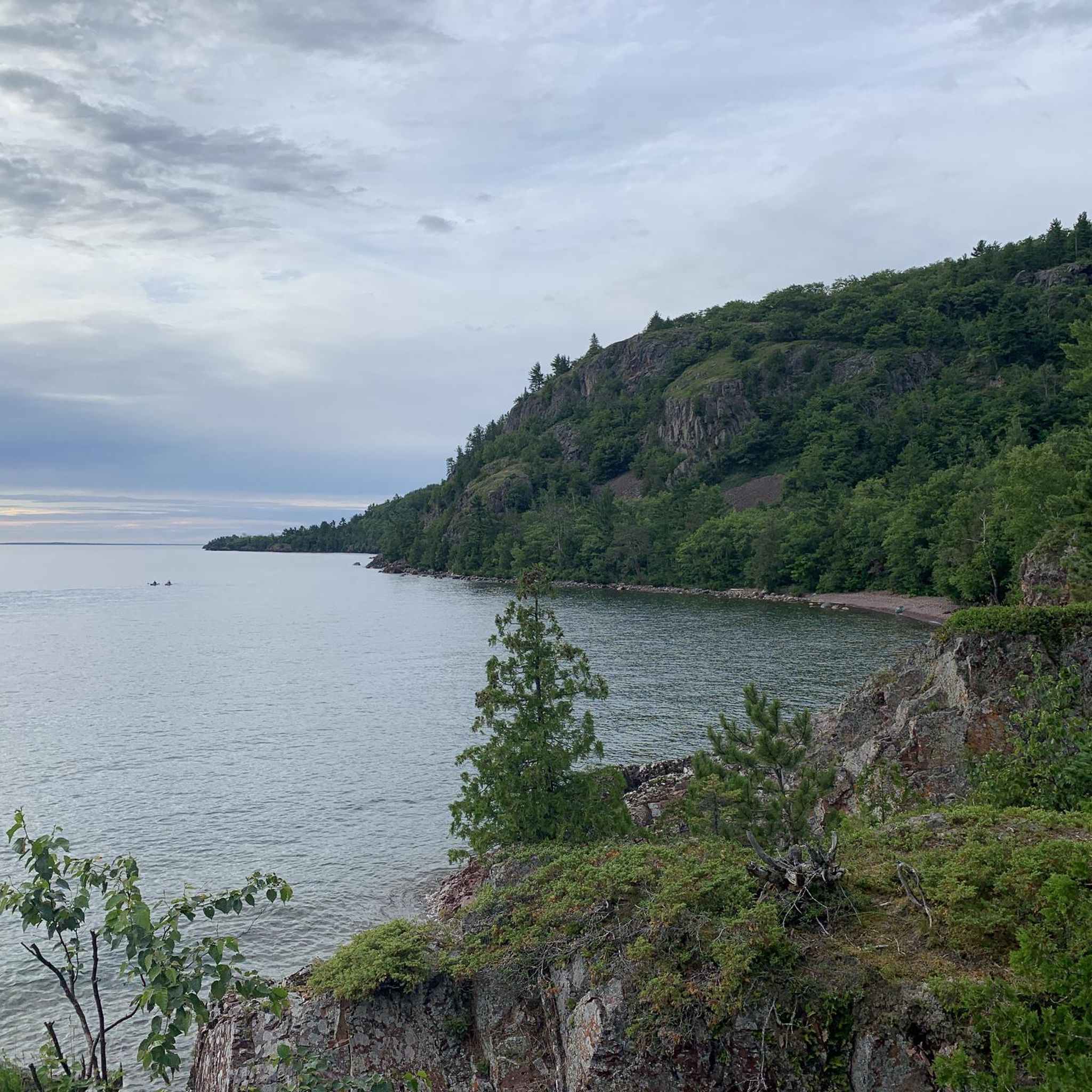
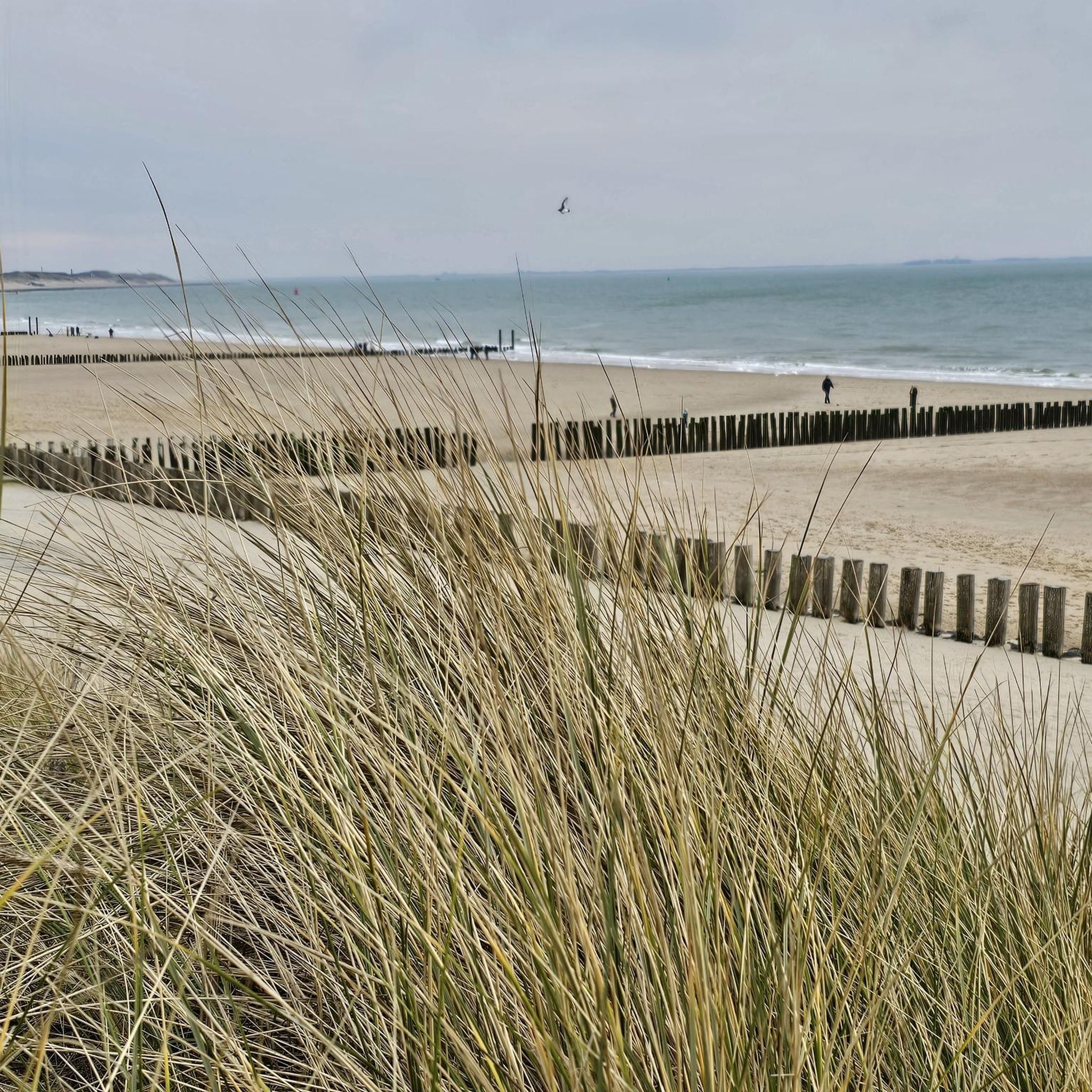

Other adventures around St. Marys River

Tips from the Community

Due to damage, the Sault Ste. Marie Canal was decommissioned in 1987. Only in 1998 was the lock reopened, but with a length of only 77 meters instead of the original 274 meters. The lock is now open from mid-May to mid-October for recreational activities. (Visit on May 27, 2026) https://parks.canada.ca/lhn-nhs/on/ssmarie/culture/histoire-history
0
0
On the Canadian side, two islands lie in the river, St. Marys Island and Whitefish Island. The islands were an important meeting place for the Anishinaabe First Nation for fishing and trade between Lake Huron and Lake Superior until colonization by Europeans and were called Baawaating, place of the rapids. To make the St. Marys River navigable for trade, especially with furs, a huge canal was built through St. Marys Island at the end of the 19th century; it was the longest lock in the world at the time. There is a height difference of approx. 7 meters between Lake Superior and Lake Huron. (Visit on May 27, 2026)
0
0

St. Mary's Island is a popular tourist destination in the Whitefish Channel on the St. Mary's River. There are many wild animals to see on the island, such as beavers, muskrats and minks. You can also observe numerous water birds and songbirds. It's worth packing your binoculars.
1
0
Your way to South St. Mary's Island takes you through one of the lock gates. The Visitor Center is located right next to the lock, where you can find out more about the island and its walking trails.
1
0
Frequently Asked Questions
How many running routes are available around St. Marys River?
There are 9 jogging routes available around the St. Marys River region. These routes offer a variety of experiences, from moderate loops to more challenging, longer paths.
What kind of terrain can I expect on jogging routes near St. Marys River?
The jogging routes around St. Marys River feature a diverse natural environment. You can expect riverine settings, wooded areas, and wetland landscapes, including cypress and tupelo trees, and sometimes sandy bluffs. The region's connection to the Okefenokee Swamp contributes to a unique blackwater appearance in some areas.
Are there routes suitable for beginners or those looking for an easy run?
Yes, there is 1 easy jogging route available around St. Marys River. Additionally, 6 moderate routes offer a consistent running experience with low elevation changes, making them suitable for many runners.
What are the difficulty levels of the jogging routes around St. Marys River?
The routes around St. Marys River cater to various fitness levels. There is 1 easy route, 6 moderate routes, and 2 difficult routes, providing options for different abilities and preferences.
Are there any circular running routes in the area?
Yes, many of the routes are designed as loops, offering a convenient circular experience. For example, the Across the lock gates loop from Sault Ste. Marie and the Running loop from Eastside are popular circular options.
Can I bring my dog on the running trails around St. Marys River?
While the guide does not specify dog-friendly routes, many natural areas and state forests in the St. Marys River basin, such as the Ralph E. Simmons Memorial State Forest, generally allow dogs on trails if they are kept on a leash. It's always best to check specific park regulations before heading out with your pet.
What kind of wildlife might I see while jogging near St. Marys River?
The St. Marys River basin is rich in wildlife. While jogging, you might spot white-tailed deer, river otters, beavers, raccoons, and alligators. Birdwatching is also popular, with bald eagles and great blue herons frequently sighted. The area's connection to the Okefenokee Swamp ensures a unique wilderness experience.
Are there scenic views or natural features to look out for along the running routes?
Absolutely. The region is known for its natural beauty. You'll encounter extensive swamps and marshes, cypress and tupelo trees, and the unique blackwater appearance of the river. As the river nears the coast, it contributes to a rich estuary, and you might even catch glimpses of the influence of nearby barrier islands like Cumberland Island National Seashore.
Where can I park when accessing these running routes?
Specific parking information for each route is typically available on its individual komoot tour page. However, general recreational areas like Traders Hill Recreation Area and St. Marys Waterfront Park often provide parking facilities suitable for accessing nearby trails or scenic areas for jogging.
Are there any longer, more challenging running routes for experienced runners?
Yes, for experienced runners seeking a greater challenge, there are 2 difficult routes available. The Fort Creek loop from Emmaus Anglican Church, at 23.5 miles, and the Fort Creek loop from Fort Creek, at 25.5 miles, offer significant distances and elevation changes.
What do other runners enjoy most about jogging in St. Marys River?
The komoot community appreciates the diverse natural environment and the variety of routes available. Runners often praise the peaceful riverine settings, the unique blackwater scenery, and the opportunity to experience the region's extensive swamps and wooded areas. The low elevation changes on many routes also make them enjoyable for a steady run.
Are there any historical sites or points of interest near the running trails?
While specific highlights are not detailed for these routes, the historic town of St. Marys, Georgia, offers a riverfront walkway and a history walk with interpretive signs. This area provides a scenic backdrop for a run and a chance to explore local heritage.
Most popular routes around St. Marys River
Most popular attractions around St. Marys River

Get inspired with the komoot mobile app


Explore more
Browse the best Running Trails & Routes in other regions.
