The best cycling routes around Lake Lanier
4.0
(3)
49
riders
1
ride
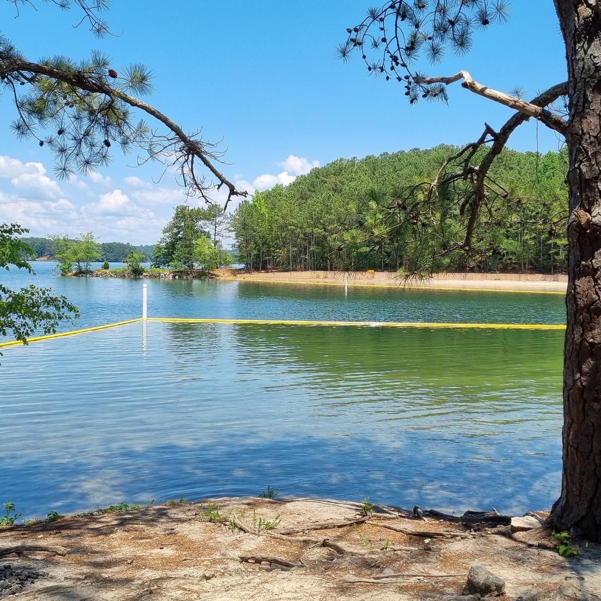
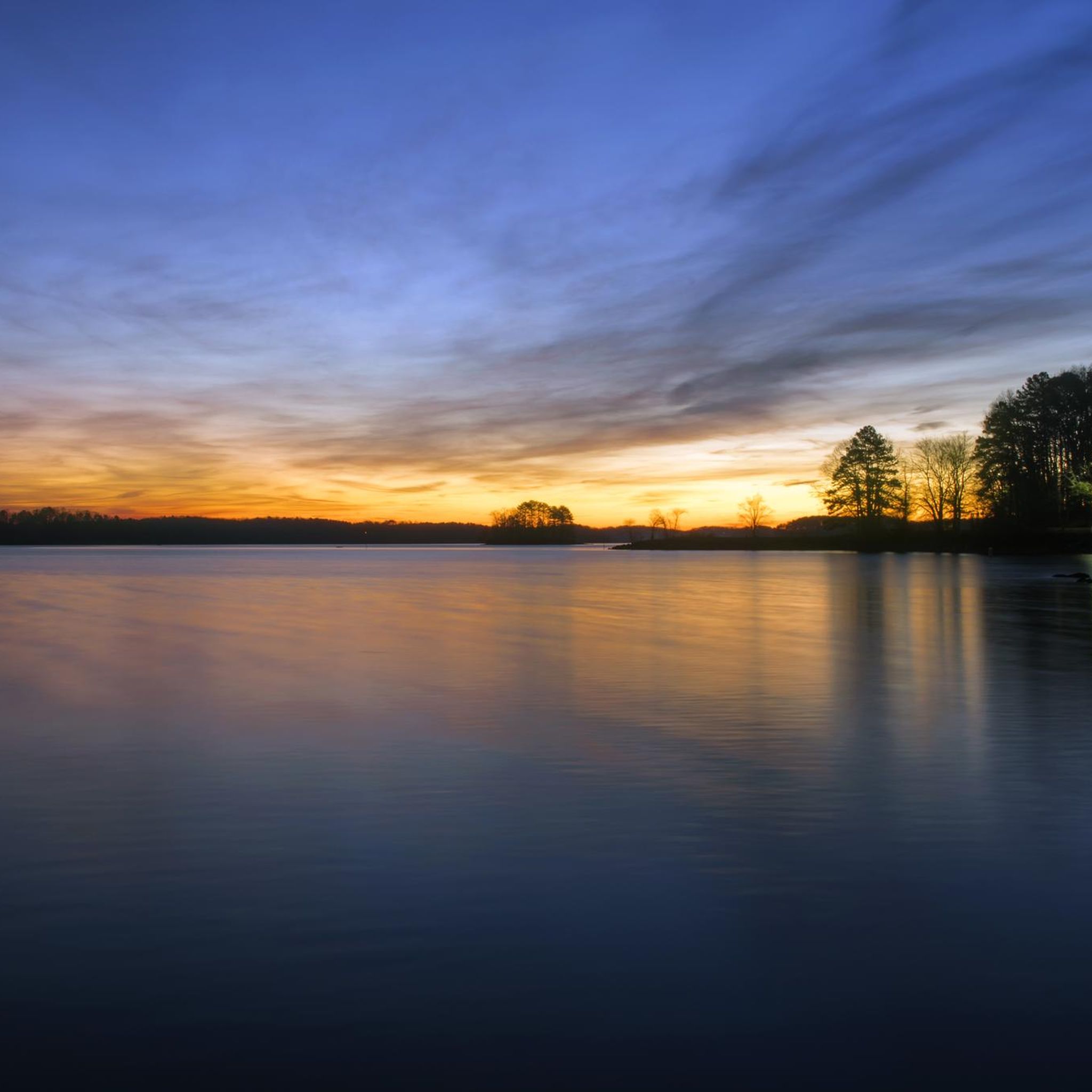
Touring cycling around Lake Lanier offers diverse landscapes in the foothills of Georgia's Blue Ridge Mountains. The region features an expansive lake with nearly 700 miles of shoreline, surrounded by lush greenery, rolling hills, and forests. Waters originating from the Blue Ridge Mountains flow into the lake via the Chattahoochee and Chestatee Rivers, contributing to the varied terrain.
Best touring cycling routes around Lake Lanier
- The most popular touring cycling route is Settles Bridge Park Loop, an easy 3.6…
Last updated: August 20, 2026
5.71km
00:30
70m
70m
Easy bike ride. Great for any fitness level. Mostly paved surfaces. Suitable for all skill levels.
3.0
(1)
11
riders
51.7km
03:07
380m
380m
Moderate bike ride. Good fitness required. Mostly paved surfaces. Suitable for all skill levels.

Sign up for free
9
riders
63.0km
04:20
1,150m
1,150m
Hard bike ride. Very good fitness required. Mostly paved surfaces. Suitable for all skill levels.
5
riders
20.4km
01:18
200m
200m
Moderate bike ride. Good fitness required. Mostly paved surfaces. Suitable for all skill levels.
7
riders
44.9km
03:04
760m
760m
Hard bike ride. Very good fitness required. Mostly paved surfaces. Suitable for all skill levels.
Our route recommendations are based on thousands of hikes, rides, and runs completed by other people on komoot.
Start today with a free account
Your next adventure awaits.
Login or Signup
Popular around Lake Lanier

Tips from the Community

Roughly 30 miles from Springer Mountain, Neels Gap is a key milestone for northbound hikers. The trail literally passes through the breezeway of Mountain Crossings, a historic stone building that houses an outfitter, hostel, and resupply stop. It’s the first real chance to replace gear, send items home, or get advice from seasoned staff, many of whom are former thru-hikers.
1
0

The Chattahoochee River is an ideal spot for a water break, offering tranquil surroundings. Flowing for about 430 miles, it forms the southern boundary between Alabama and Georgia and a segment of the Florida-Georgia border. As a tributary of the Apalachicola River, it eventually merges with the Flint River and empties into Apalachicola Bay in the Gulf of Mexico. This river, with its scenic beauty, provides a serene pause during your cycling journey.
0
0
Settles Bridge Park is a gorgeous park in Gwinnett County that features scenic trails, a historic bridge, and beautiful views of the Chattahoochee River.
0
0
Suwanee Creek is a scenic waterway in Georgia, known for its serene trails and vibrant wildlife. It flows through Suwanee Creek Park, offering visitors opportunities for biking, hiking, fishing, and enjoying the natural beauty of the surrounding forest.
0
0


A good place to ride after work approximately 12 miles
0
0
The Suwanee Creek Greenway boasts over four miles of paved trails meandering beside the picturesque Suwanee Creek. It offers a tranquil setting for various activities such as walking, jogging, biking, and birdwatching amidst lush greenery and urban landscapes.
0
0

Stone Pile Gap Road, offers beautiful views of the Chattahoochee National Forest with minimal traffic. Take in the serene surroundings as you pedal through this scenic route.
0
0
Frequently Asked Questions
What kind of terrain can I expect on touring cycling routes around Lake Lanier?
The terrain around Lake Lanier is quite varied, offering a mix of lush greenery, rolling hills, forests, marshlands, and open fields. While many routes are well-paved, some may include unpaved segments, providing a diverse experience for touring cyclists. The region is nestled in the foothills of Georgia's Blue Ridge Mountains, contributing to the scenic and sometimes undulating landscape.
Are there touring cycling routes suitable for families or beginners around Lake Lanier?
Yes, Lake Lanier offers routes suitable for various skill levels. For an easy, family-friendly option, consider the Settles Bridge Park Loop. This route is approximately 3.6 miles (5.7 km) with minimal elevation gain, offering a gentle ride through parkland that's perfect for beginners or a leisurely family outing.
What are some scenic highlights or natural features to look out for while cycling around Lake Lanier?
Lake Lanier boasts nearly 700 miles of shoreline, providing spectacular views of the expansive lake. You'll encounter diverse natural features including forests, marshlands, and open fields. The waters originate from the Blue Ridge Mountains, flowing over picturesque waterfalls via the Chattahoochee and Chestatee Rivers. Keep an eye out for wildlife such as white-tailed deer, various birds including bald eagles, and great blue herons.
Are there any challenging touring cycling routes with significant elevation gain?
Yes, for cyclists seeking a challenge, Lake Lanier offers routes with substantial climbs. The Bike loop from Access 1 is a more difficult option, spanning 39.2 miles (63.0 km) with over 1150 meters of elevation gain. Another challenging route is the Stone Pile Gap Road loop from Access 1, which covers 44.8 miles (72.1 km) and features over 750 meters of ascent.
What is the best time of year to go touring cycling in Lake Lanier?
The region's climate generally allows for cycling through much of the year. Spring and fall often provide the most comfortable temperatures and vibrant scenery, with lush greenery in spring and colorful foliage in autumn. Summers can be warm, but early mornings or late afternoons offer pleasant riding conditions. Winters are generally mild, making cycling possible, though some days may be cooler.
Are there any circular touring cycling routes around Lake Lanier?
Yes, many of the touring cycling routes around Lake Lanier are designed as loops, allowing you to start and end at the same point. Examples include the Suwanee loop from Level Creek, a moderate 32.1-mile (51.6 km) path, and the View of Suwanee Creek – Suwanee Creek Greenway loop from Level Creek, which is 20.4 miles (32.8 km).
What amenities are available near the touring cycling routes, such as cafes or accommodation?
Lake Lanier is a popular destination with numerous amenities. You'll find various parks along the shoreline that often have picnic areas. The Lake Lanier Islands Resort offers lodging, dining options, and even bike rentals. Additionally, restaurants with lake access provide opportunities to enjoy meals with scenic views, and local towns around the lake offer cafes and other services.
Where can I park my car when accessing touring cycling routes around Lake Lanier?
Many parks and recreation areas around Lake Lanier offer parking facilities for visitors. Popular spots like Don Carter State Park, Buford Dam Park, West Bank Park, Mary Alice Park, and Vanns Tavern Park are good places to look for parking. Specific routes often have designated access points with parking, such as those departing from areas like Six Mile Creek Park or Bolding Mill Day Use Park.
What do other touring cyclists say about their experience in Lake Lanier?
The touring cycling routes around Lake Lanier are highly rated by the komoot community, with an average score of 4.0 stars from 3 reviews. Cyclists often praise the diverse landscapes, expansive lake views, and the variety of routes available, catering to different ability levels. Over 30 touring cyclists have used komoot to explore the region's varied terrain.
Are dogs allowed on touring cycling routes around Lake Lanier?
Many outdoor areas around Lake Lanier, including parks and trails, are generally dog-friendly, especially if dogs are kept on a leash. However, specific regulations can vary by park or trail. It's always best to check the rules for the particular park or route you plan to visit to ensure it accommodates your furry companion.
Are there any permits required for touring cycling in Lake Lanier?
Generally, no specific permits are required for touring cycling on public roads and designated bike trails around Lake Lanier. However, some state parks or private resorts within the Lake Lanier area might have entrance fees or specific regulations. It's advisable to check with the specific park or facility if your route passes through one.
Most popular routes around Lake Lanier

Get inspired with the komoot mobile app


Explore more
Browse the best Cycling routes in other regions.
