The best walks and hikes around Rogbergasjön
4.6
(217)
1,168
hikers
60
hikes
Hiking around Rogbergasjön offers a tranquil natural setting southeast of Jönköping, characterized by its peaceful atmosphere and the lake itself. The area features a natural lake environment situated 221 meters above sea level, providing a serene backdrop for outdoor excursions. Surrounding the lake are forest paths and varied terrain typical of Swedish lakesides, offering diverse routes through natural surroundings. The network of trails includes options for easy and moderate routes, catering to different fitness levels.
Best hiking trails around Rogbergasjön
…Last updated: May 16, 2026
5.0
(1)
3
hikers
6.58km
01:47
90m
90m
Easy hike. Great for any fitness level. Easily-accessible paths. Suitable for all skill levels.
3
hikers
4.87km
01:24
120m
120m
Easy hike. Great for any fitness level. Easily-accessible paths. Suitable for all skill levels.

Sign up for free
1
hikers
9.11km
02:27
110m
110m
Moderate hike. Good fitness required. Easily-accessible paths. Suitable for all skill levels.
1
hikers
13.2km
03:35
180m
180m
Moderate hike. Good fitness required. Easily-accessible paths. Suitable for all skill levels.
3
hikers
3.89km
01:07
90m
90m
Easy hike. Great for any fitness level. Easily-accessible paths. Suitable for all skill levels.
Get access to more routes and recommendations from other explorers.
Sign up for free
Already have an account?
Our route recommendations are based on thousands of hikes, rides, and runs completed by other people on komoot.
Start today with a free account
Your next adventure awaits.
Login or Signup


Tips from the Community

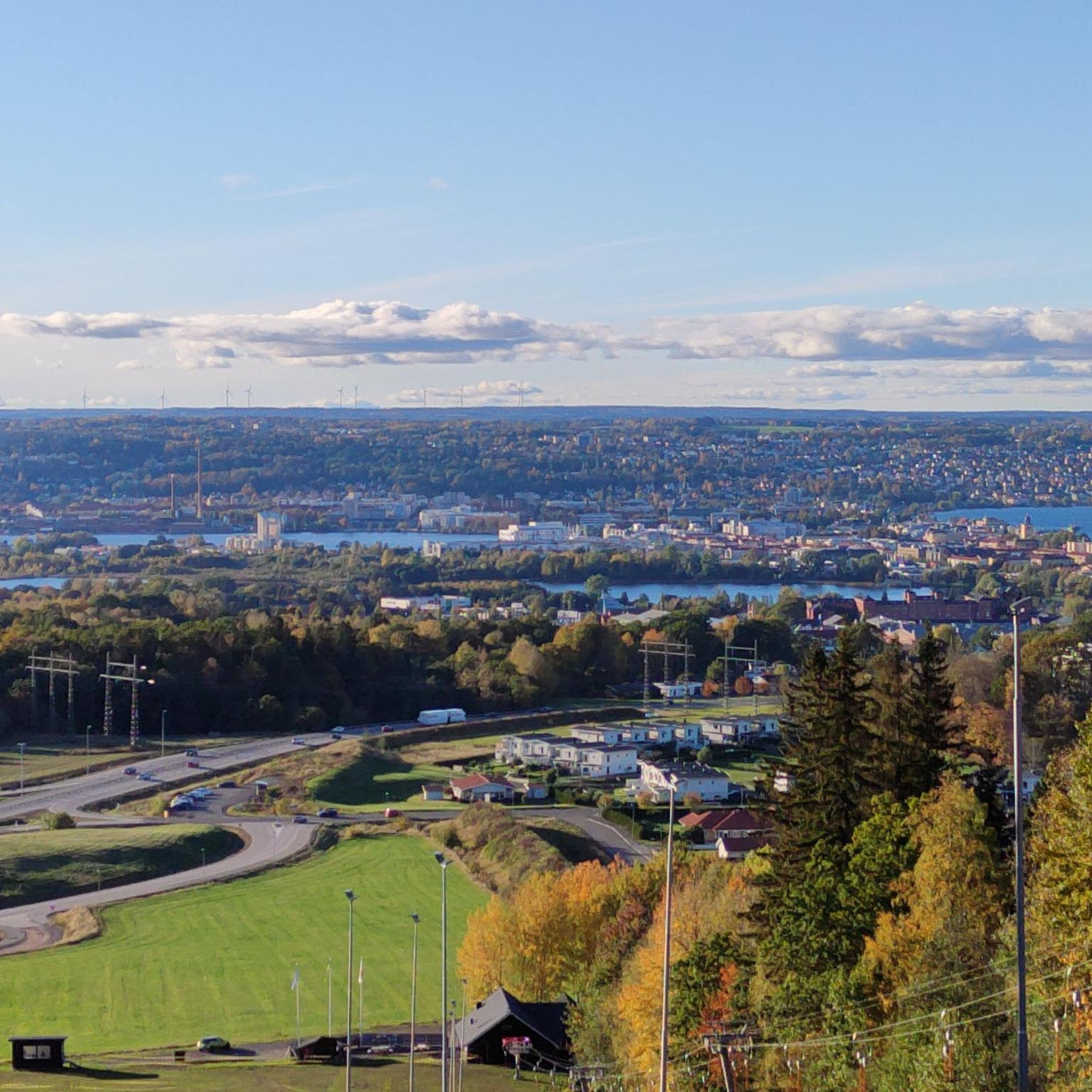
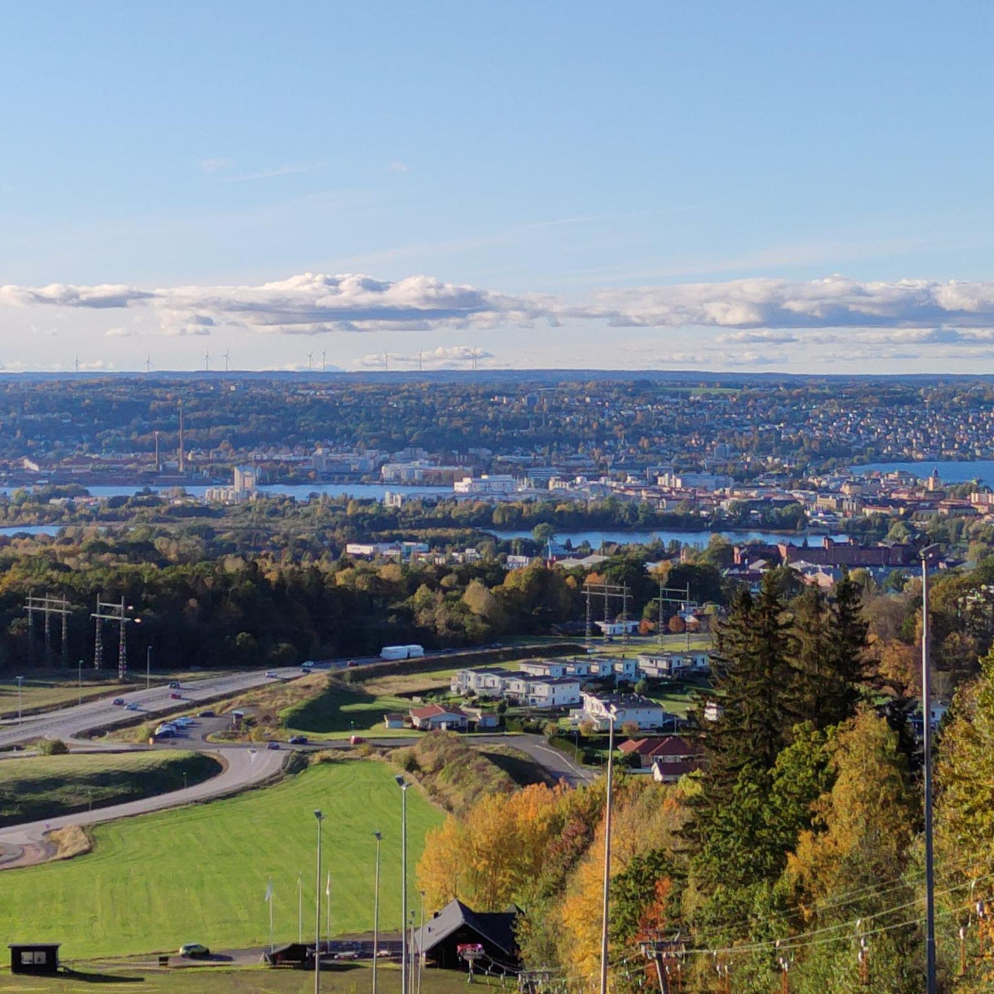
Open viewpoint overlooking Lake Vättern, with clear views across the water and surrounding landscape.
0
0
Bondberget offers a varied landscape just outside Jönköping, combining dense forests, open meadows and gently rolling terrain. The area is known for its mix of habitats, with oak woodland, grazing land and quiet trails that make it suitable for both short walks and longer outings. It’s a good place to experience nature close to the city, with several paths connecting different parts of the reserve.
0
0

The land elevation at Lake Vättern is different in the northern and southern parts, which means that the water in the Vättern basin slowly tilts southwards. The waves of the water erode the beach and at Rosenlund the beach edge shifts southwards by an average of two to three decimetres every year. Unfortunately, the path in the nature reserve only allows views of the demolition banks in a few places.
0
0

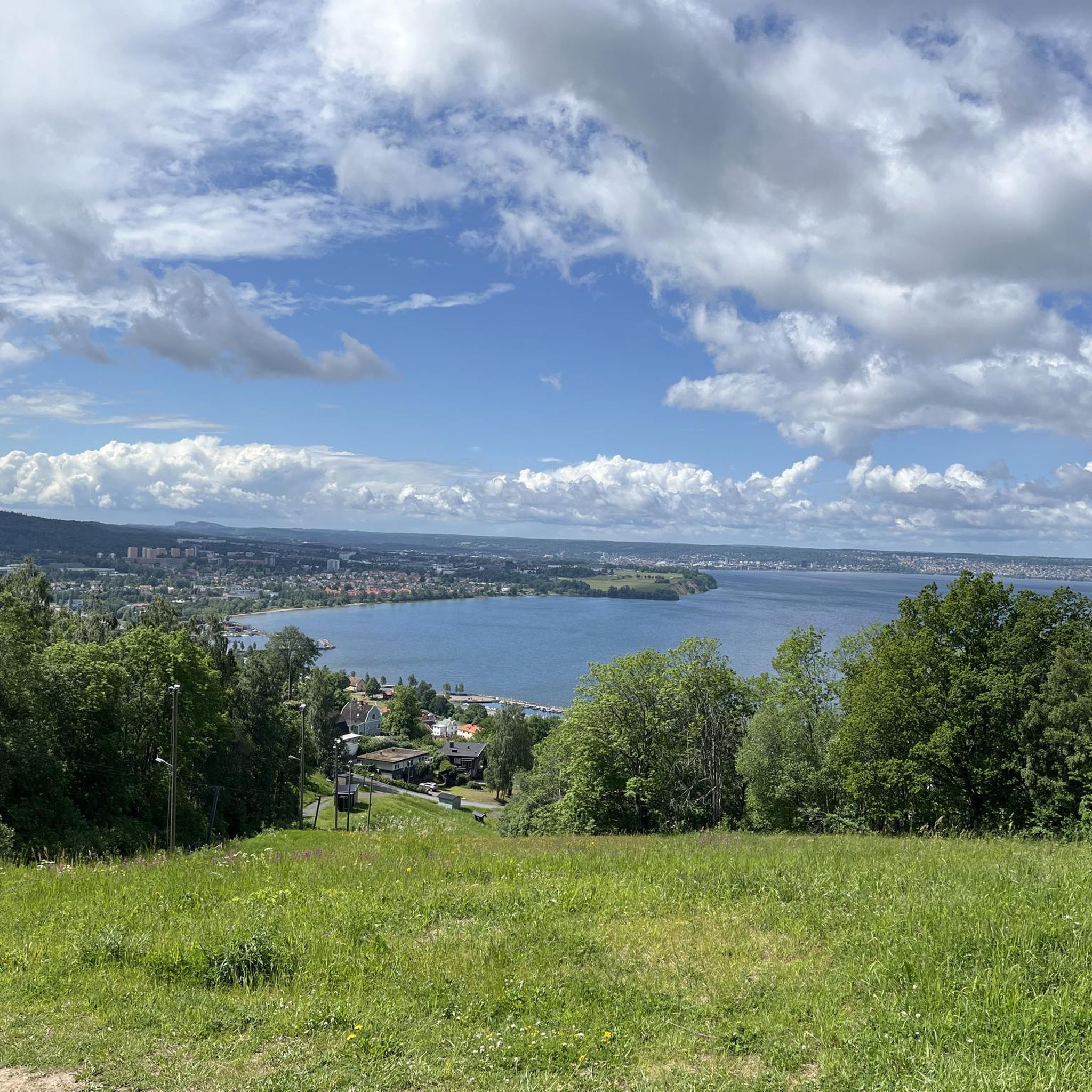
Cliffs high above Lake Vättern
2
0

Beautiful beach on Sweden's second largest lake
0
0

The old workers' houses are now used by artisans and a café. Please note! Open only on a few weekdays, including Sundays.
0
0
In the summer, a lush blooming rosarium with around 550 types of roses
2
2
beautiful beach by Lake Vättern with a barbecue area
2
2
Frequently Asked Questions
How many hiking trails are available around Rogbergasjön?
There are over 60 hiking routes available around Rogbergasjön, offering a variety of options for different preferences and skill levels. The majority of these are classified as easy or moderate.
What are the typical difficulty levels for hiking trails in Rogbergasjön?
The trails around Rogbergasjön primarily feature easy and moderate difficulty levels. Out of the 60 available routes, 41 are considered easy and 19 are moderate, making the area accessible for a wide range of hikers.
Are there family-friendly hiking options around Rogbergasjön?
Yes, Rogbergasjön is well-suited for family hikes, with many easy routes through forest paths and along the lake. A good option for families is the Pustaleden Trail, which is 2 km long and takes about 38 minutes to complete, offering a pleasant walk through nature.
Can I bring my dog on the hiking trails in Rogbergasjön?
Yes, dogs are generally welcome on the hiking trails around Rogbergasjön. The natural lake environment and surrounding forest paths provide a great setting for walks with your canine companion. Always remember to keep your dog on a leash and clean up after them.
Are there any circular hiking routes around Rogbergasjön?
Yes, many of the trails around Rogbergasjön are circular, allowing you to start and end at the same point. An example is the Bench by the Field loop from Bondberget, an easy 6.6 km route that offers views of open fields.
What kind of terrain can I expect on the hikes around Rogbergasjön?
The terrain around Rogbergasjön is characterized by varied forest paths and typical Swedish lakesides. You'll find a mix of natural surfaces, including some sections that hint at former ski slopes, as seen on the Ski Slope loop from Bondberget.
What do other hikers enjoy the most about hiking in Rogbergasjön?
The area is highly rated by the komoot community, with an average score of 4.6 stars from over 200 reviews. Hikers often praise the tranquil natural setting, the peaceful atmosphere, and the diverse forest paths that provide a serene backdrop for outdoor excursions.
Are there any viewpoints or natural features to look out for?
While specific named attractions are not extensively documented directly on Rogbergasjön, the area itself is a natural feature. The lake, situated 221 meters above sea level, offers a serene environment. You can also find routes like the View of the lake – Vätternstranden Beach loop from Bondberget, which provides scenic views.
Is there parking available near the trailheads?
While specific parking locations are not detailed in the guide, areas like Bondberget, which serves as a starting point for several routes, typically offer parking facilities for hikers. It's advisable to check local signage upon arrival.
What is the best season to hike around Rogbergasjön?
Rogbergasjön offers a pleasant hiking experience throughout much of the year. The varied forest paths and natural lake environment are enjoyable in spring, summer, and autumn. Winter hiking is also possible, but conditions may vary, so check local weather forecasts.
Are there any longer, more challenging hikes in the area?
While the majority of routes are easy to moderate, there are some longer moderate options. For example, the Bondberget loop from Rosenlunds bankar is a moderate 7.6 km trail with a significant elevation gain, offering a more strenuous experience.
Can I combine hiking with other activities like fishing or swimming?
Rogbergasjön is known for fishing, with species such as pike, perch, roach, and tench, so you can certainly combine hiking with fishing. While not explicitly mentioned for swimming, the natural lake environment might offer opportunities for a refreshing dip, depending on local regulations and conditions.
Most popular routes around Rogbergasjön

Get inspired with the komoot mobile app


Explore more
Browse the best Hikes in other regions.
