The best road cycling routes around Lac Saint-Jean
4.8
(21)
677
riders
16
rides
Road cycling around Lac Saint-Jean offers diverse terrain characterized by the expansive freshwater lake, agricultural plains, and rolling hills. The region features dedicated cycling infrastructure, including the extensive Véloroute des Bleuets. This network provides a mix of paved bike paths, bike shoulders, and quiet paved roads. The landscape transitions from flat, wide areas to forested headwaters, offering varied scenery for road cyclists.
Best road cycling routes around Lac Saint-Jean
- The most popular road cycling route is Évacuateur de crues 7…
Last updated: July 8, 2026
5.0
(1)
45
riders
39.8km
01:46
280m
280m
Easy road ride. Great for any fitness level. Mostly well-paved surfaces and easy to ride.
5.0
(1)
35
riders
Moderate road ride. Good fitness required. Mostly well-paved surfaces and easy to ride.

Sign up for free
12
riders
Moderate road ride. Good fitness required. Mostly well-paved surfaces and easy to ride.
30
riders
53.4km
02:35
140m
140m
Moderate road ride. Good fitness required. Mostly well-paved surfaces and easy to ride.
12
riders
21.2km
00:53
80m
80m
Easy road ride. Great for any fitness level. Mostly well-paved surfaces and easy to ride.
Get access to more routes and recommendations from other explorers.
Sign up for free
Already have an account?
Our route recommendations are based on thousands of hikes, rides, and runs completed by other people on komoot.
Start today with a free account
Your next adventure awaits.
Login or Signup
Popular around Lac Saint-Jean
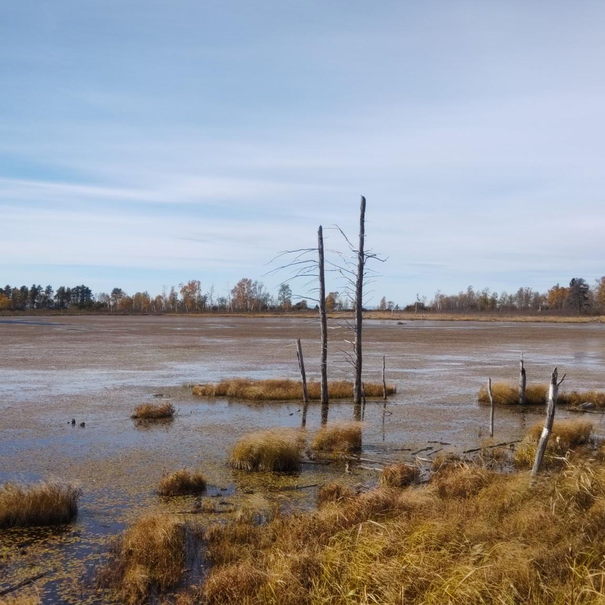
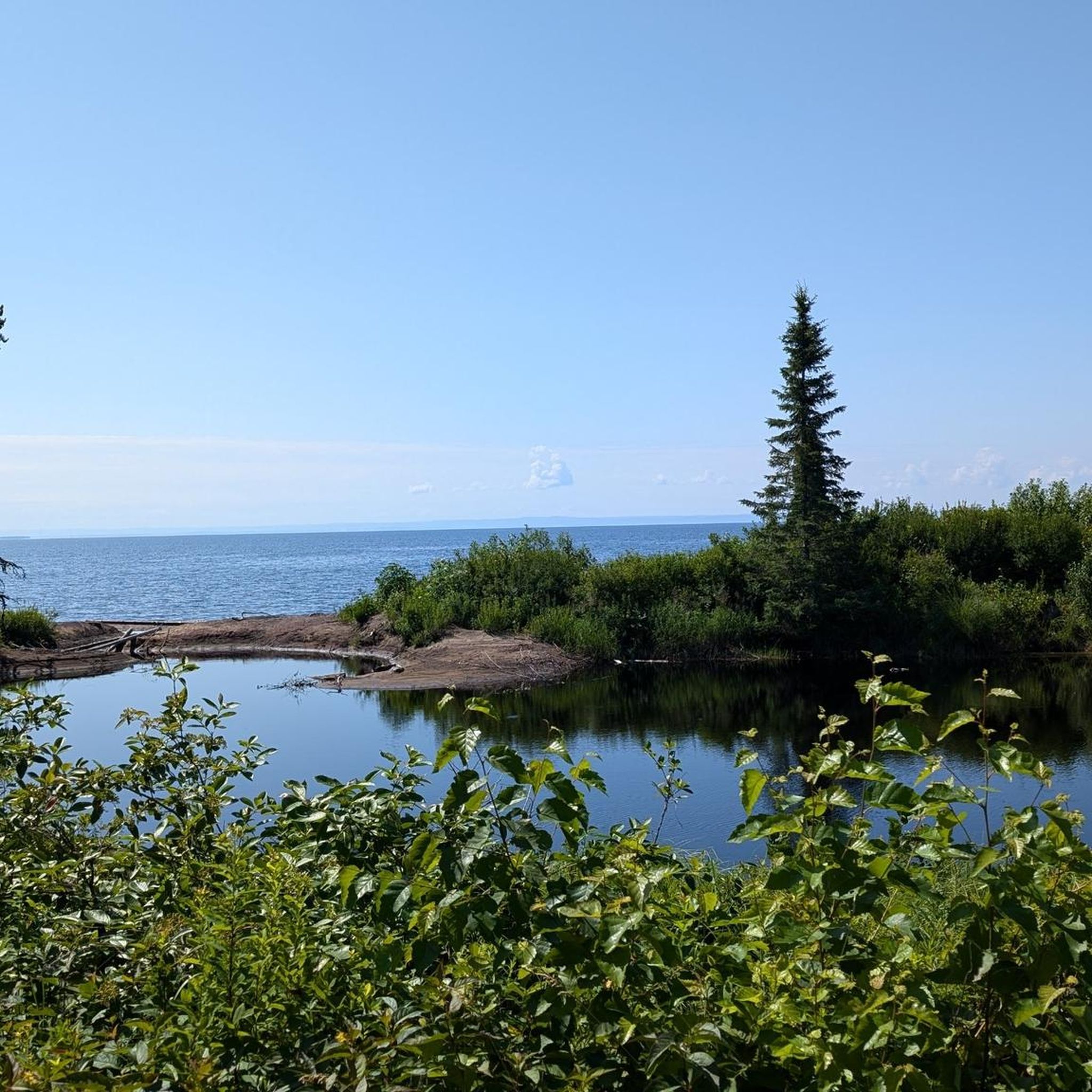
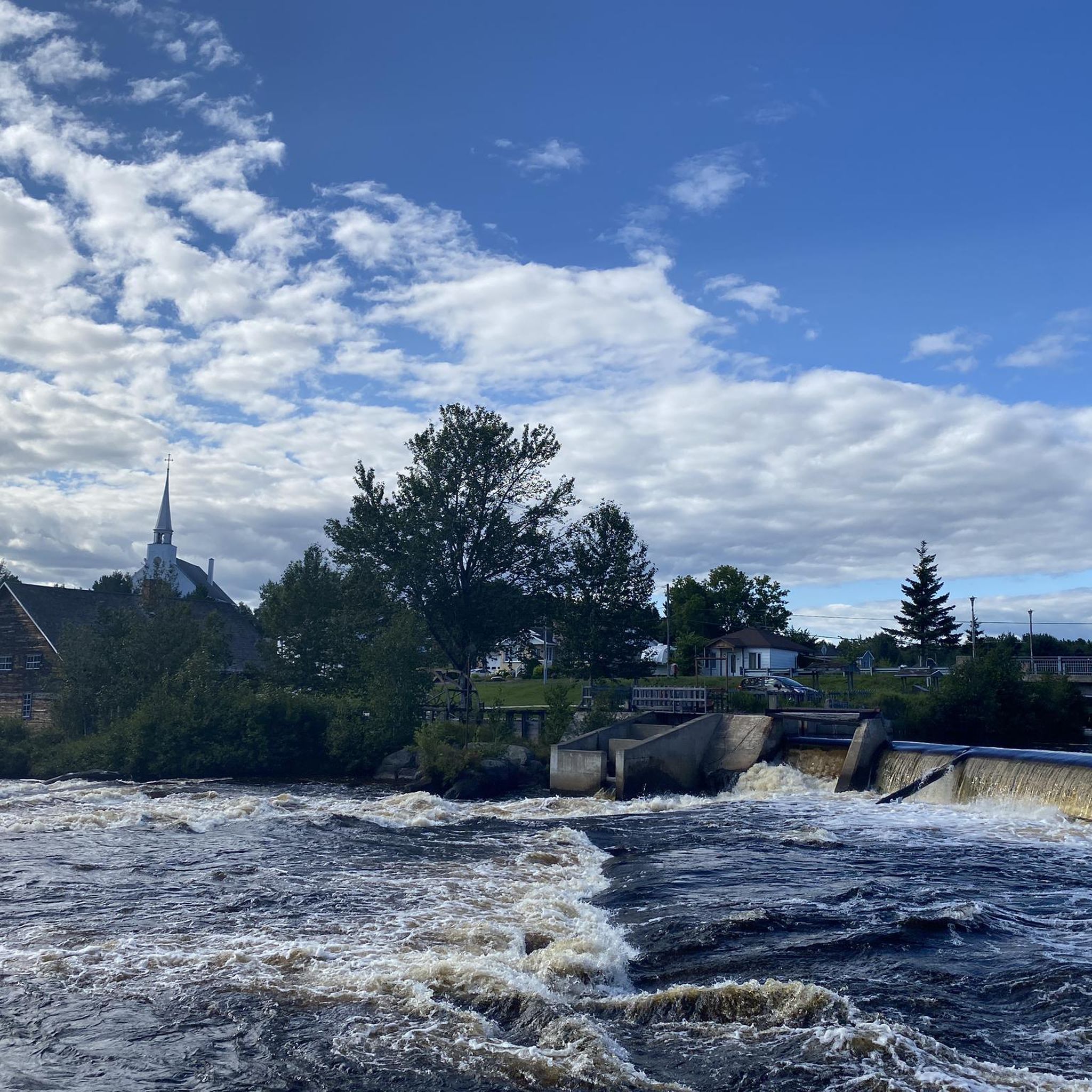
Tips from the Community

The path allows you to walk right next to the river, which accompanies you with its sound. Footbridges allow you to cross from one bank to the other.
0
0
Frequently Asked Questions
What is the Véloroute des Bleuets and how long is it?
The Véloroute des Bleuets is the cornerstone of road cycling in Lac Saint-Jean. It's a renowned 256 km (159 miles) loop around the lake, traversing 15 municipalities and the Ilnu community of Mashteuiatsh. It's celebrated for its mix of paved bike paths, bike shoulders, and quiet paved roads.
What is the general difficulty of road cycling around Lac Saint-Jean?
The Véloroute des Bleuets is largely an easy and scenic ride suitable for various skill levels. While mostly flat, it does feature gently rolling hills and a few more significant ascents, particularly when venturing away from the immediate lakeside. The region offers a range of routes, from easy loops like Évacuateur de crues 7 loop from Îles à Caron to moderate paths such as Évacuateur de crues 7 – Plage Rigolet loop from Île du Bateau.
What kind of terrain and surfaces can I expect on the road cycling routes?
The Véloroute des Bleuets features a diverse mix of surfaces: approximately 45% paved bike paths, 20% bike shoulders, and 35% quiet paved roads. There is a short unpaved section through Pointe-Taillon National Park, but it is compacted and well-suited for cycling.
Are there family-friendly road cycling routes in Lac Saint-Jean?
Yes, the Véloroute des Bleuets is largely suitable for families due to its mostly flat profile and dedicated bike paths. Many sections offer an easy and scenic experience. Shorter, easy routes like Mouth of the Ouellet River loop from Roberval are also great options for families.
What are some notable natural features or viewpoints along the cycling routes?
Cyclists can enjoy expansive views of Lac Saint-Jean, often referred to as an 'inland sea.' The routes also pass through diverse topography, from agricultural plains to forested headwaters. Pointe-Taillon National Park, with its sandy beaches and dedicated cycling paths, is a significant natural highlight, offering a unique cyclist ferry crossing.
What cultural or historical attractions can I visit while cycling around Lac Saint-Jean?
The region offers several attractions. You can explore the Historical Village of Val-Jalbert, a well-preserved ghost town. The Musée Ilnu de Mashteuiatsh provides insights into the Pekuakamiulnuatsh First Nation culture, and the Musée Louis-Hémon in Péribonka explores regional history.
What is the best time of year for road cycling in Lac Saint-Jean?
The best time for road cycling in Lac Saint-Jean is typically during the warmer months, from late spring to early autumn. This period offers pleasant temperatures and ensures that all sections of the Véloroute des Bleuets are accessible and well-maintained.
Can I do a multi-day cycling tour around Lac Saint-Jean?
Absolutely. The 256 km Véloroute des Bleuets is ideal for multi-day tours, with many cyclists completing it over 3 to 5 days. Services such as luggage shuttles are often available to enhance the multi-day cycling experience, allowing you to enjoy the journey without heavy loads.
Are there circular road cycling routes available?
Yes, the Véloroute des Bleuets itself is a complete 256 km loop around Lac Saint-Jean, making it the primary circular route. Additionally, there are shorter circular options like La Grande Décharge – Évacuateur de crues 7 loop from Saint-Henri-de-Taillon, which offers a diverse scenic experience.
What do other road cyclists enjoy most about road cycling in Lac Saint-Jean?
The area is highly rated by the komoot community, with an average score of 4.8 stars from over 20 reviews. Reviewers often praise the expansive lake views, the well-maintained dedicated cycling infrastructure, and the varied scenery that transitions from agricultural plains to rolling hills.
Are there any specific permits required for cycling certain sections?
While no general cycling permits are required for the Véloroute des Bleuets, a section of the route passes through Pointe-Taillon National Park. Entry to the park may require a fee, which contributes to the maintenance of its facilities and dedicated cycling paths.
Where can I find food and accommodation along the Véloroute des Bleuets?
The Véloroute des Bleuets passes through 15 municipalities and the Ilnu community of Mashteuiatsh, ensuring numerous opportunities for food and accommodation. You'll find cafes, restaurants, and various lodging options in the towns and villages situated along the route, making it convenient for multi-day tours.

Get inspired with the komoot mobile app


Explore more
Browse the best Road cycling routes in other regions.
